
The trip report
Written by Twigs
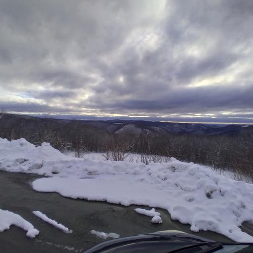
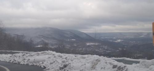
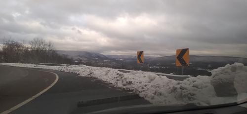
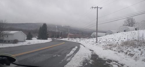
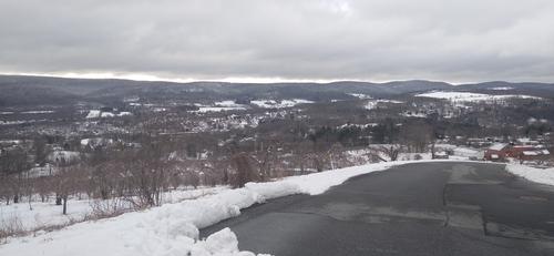
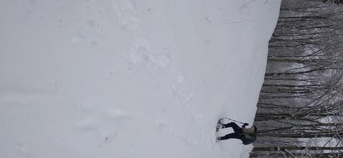
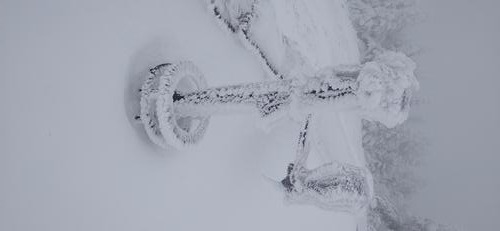
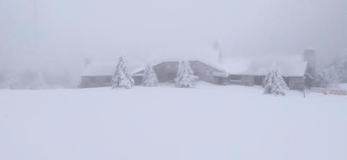
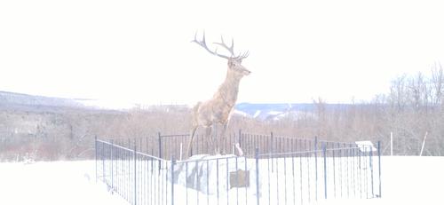
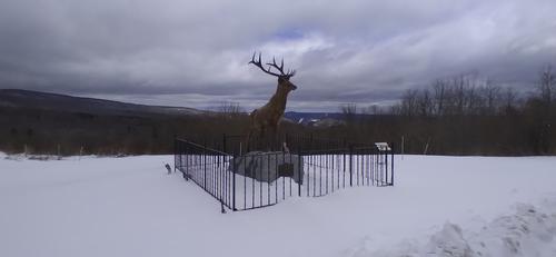
We met in the parking lot just before 9am. Being that it was only going to be us two we had started the hike. We decided to carry out snowshoes with us, just in case. As we started the trail was nicely packed down, but that didn't last long. As we start to climb up thunderbolt we put our snowshoes up and hiked UP. We survived 12+" deep snow, 52+% inclines and summited shortly after leaving the parking lot. Once we found shelter that took out of the 30mph+ winds and the chilly windchill, we decided what our next plan was. Knowing we had another 50+% incline around mile 7, and it was gonna be in snowshoes we decided to cut the hike in half and take a long trail back to the cars. In total we did about 7miles in just under 4 hours.
During the summer I'll post this same hike as I know there was others that were interested to do it. But please be aware myself and the other hiker are in tip top shape and it still kicked our butt.
Event photos (11)

Reactions
👍
❤️
🔥
😄
😮
Log in to react to this trip report.
About this event
B.B.T.S. Black and Blue Trail Smashers!
Mt. Greylock (3491') - Prospect Mountain (2690') - Mt. Williams (2951') - Mt. Fitch (3110')
This trip is in preparation for the Grand Canyon Rim-to-Rim-to-Rim Adventure. This trip features half the distance without the 100-degree heat, scorpions, rattlesnakes, or tarantulas. This is open to all with the understanding that this will be a STRENOUS hike with STEADY PACE. This is NOT a beginner or season starter.
Total Distance is 14 miles (round trip)
For specific trail specs and details please contact the trip leader directly
This trip is considered STRENUOUS.
Steady/quick pace!!
Rocky trails
Steep Grade (48% inclines & declines)
Open Ledges
Stream Crossings
Remaining snow conditions are possible.
https://footpathapp.com/routes/c42c5d3e-8ffb-42a8-b2a5-51d9876b84e7
The group (Everyone) will meet at the end of GOULD ROAD, ADAMS MASSACHUSETTS at 9 am Sharp. This hike will start and end at the same location.
PREPARATION/WHAT TO BRING: The mountains can have unpredictable and extreme weather changes year-round. It is recommended that hikers have extra dry clothing and wind protection. Always have water and food. If you need suggestions on what to bring, PLEASE ASK!!
Bascom Lodge - was closed as of 3.30.24
For this trip, it is important to bring along flexibility, patience, and a sense of humor.
Group Size It is not fun leaving folks out.
If you cannot attend, PLEASE cancel so others may join.
If you are on the waiting list, please contact me days before the trip, most likely there will be room and if needed this trail will allow us to break the group into two smaller groups.
Please do NOT bring any dogs on this hike.
Decreasing the impact on the environment is always a priority! Please plan to “carry in and carry out” all items. It may also be possible to collect other hikers’ debris along the way.
Weather: If the weather is a concern any updates or cancellation information will be posted by the Thursday before 6 pm. If there is a cancellation, it will include a “possible” rescheduled date so participants can watch for that opportunity.
Safety is a priority! Any time a hiker is injured or lost a HUGE team of volunteers is dispatched to aid in the search and rescue efforts. No one wants to be injured or put others in harm’s way. Always be prepared. Know your limits. If you have any questions, feel free to contact the hike leaders.
Comments
Trails overall were muddy. Mirco-spikes were needed for the summit as it was compact snow and ice.
thanks for all!!
Dpbyrnes I'll message you with the trail names. In the order as we will climb them. As for the GPS LOCATION FOR PARKING IT IS.. ( 194-156 Gould Rd, Adams, MA 01220 ) or use ( 42.6270417, -73.1448534 )
If you have snowshoes toss them in the car. We can make the call at the trail head if we need them or not.
Mirco-spikes will definitely be needed. Nicolasmadera -- I got my extra set packed for you.
Log in to join the conversation.