
The trip report
Written by Carl
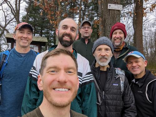
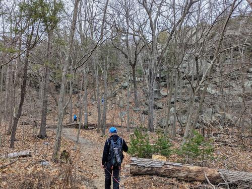
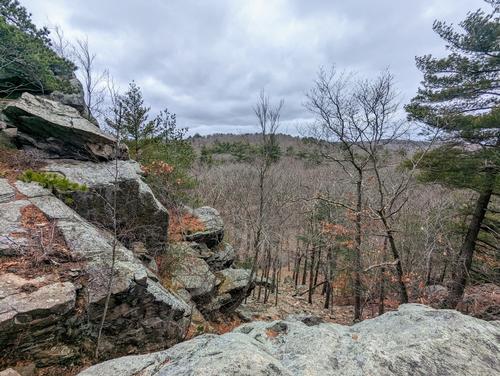
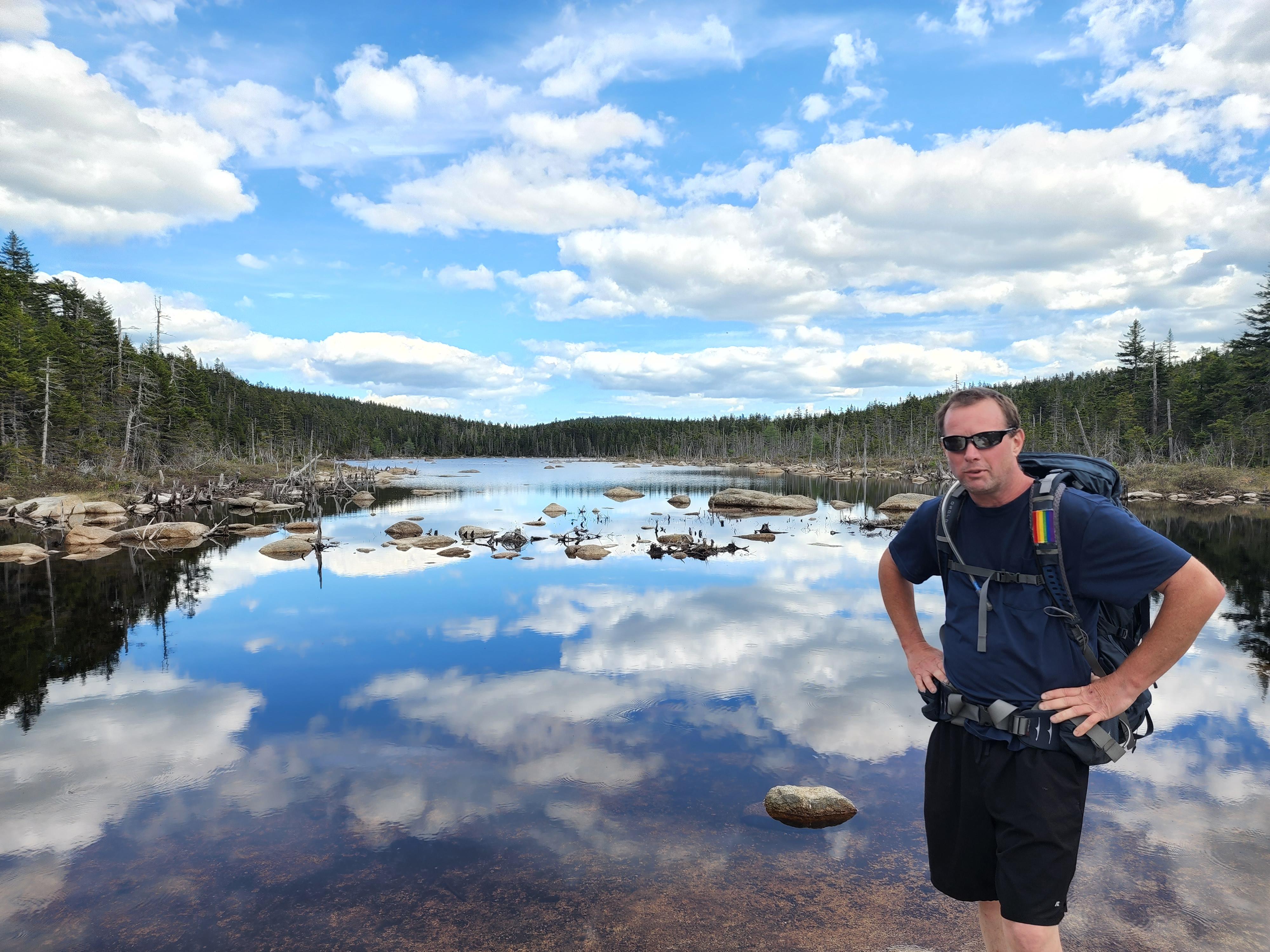
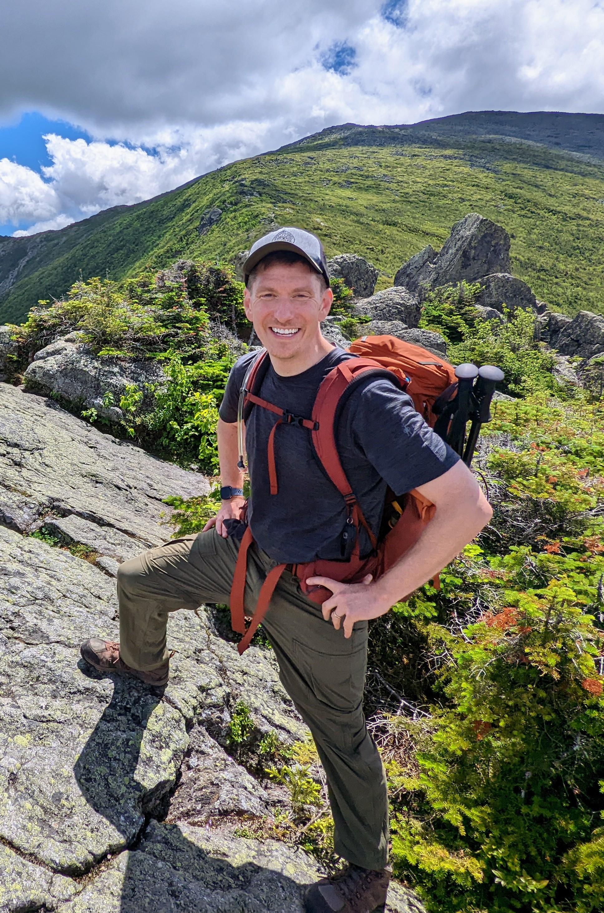
JT led a group of seven GO guys across the longest trail in the Blue Hills Reservation outside of Boston. Although the highest hill in Blue Hills only reaches a height of 635’, the Skyline Trail traverses many of the 22 hills in the park. Because of this, our 16-mile trip included an impressive elevation gain of 3,500’! This was one of the Black & Blue Trail Smasher (BBTS) hikes, designed to help those going to the Grand Canyon in May to get prepared, and five of the seven are signed up for that trip. The weather was chilly and raw, but great conversations and laughter propelled us forward. Overall, it was a wonderful day. Thank you so much, JT!
Event photos (4)
Reactions
Log in to react to this trip report.
About this event
B.B.T.S. Black and Blue Trail Smashers!
Blue Hills Skyline Trail (Out and Back)
- Distance is 16 miles.
This trip is considered STRENUOUS.
- Steady/quick pace
- Steep grade
- Rocky trails
- Open ledges
The group will meet at Blue Hills Reservation Parking Lot, Willard Street, Quincy MA at 8 am.
PREPARATION/WHAT TO BRING: It is recommended that hikers have extra dry clothing and wind protection. Always have water and food. If you need suggestions on what to bring, PLEASE ASK!!
For this trip, it is important to bring along flexibility, patience, and a sense of humor.
Group Size It is not fun leaving folks out.
- If you cannot attend, PLEASE cancel so others may join.
- If you are on the waiting list, please contact me days prior to the trip, most likely there will be room and if needed this trail will allow us to break the group into two smaller groups.
- Please do NOT bring any dogs on this hike.
Decreasing the impact on the environment is always a priority! Please plan to “carry in and carry out” all items. It may also be possible to collect other hikers’ debris along the way.
Weather: If the weather is a concern any updates or cancellation information will be posted by the Thursday prior to 6 pm. If there is a cancellation, it will include a “possible” rescheduled date so participants can watch for that opportunity.
Safety is a priority! Any time a hiker is injured or lost a HUGE team of volunteers is dispatched to aid in the search and rescue efforts. No one wants to be injured or put others in harm’s way. Always be prepared. Know your limits. If you have any questions, feel free to contact the hike leaders.
Who came along (7)
 GUEST MEMBER
  SUSTAINING
  GUEST MEMBER
  SUSTAINING
Comments
GPS coordinates: 42.23372,-71.02919
It’s where Batterymarch Park intersects with Willard.
Street address on one side of the parking lot is: 710 Willard street, Quincy
Street address on the other side is: 651 Willard St, Quincy, MA 02169 (Shea Ice Rink.)
Log in to join the conversation.