
The trip report
Written by Carl · last updated by nhclimber03264 on Oct 15, 2023
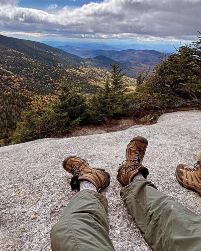
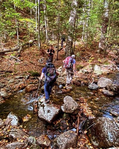
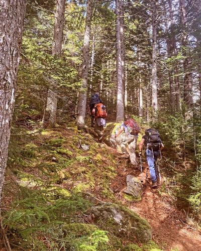
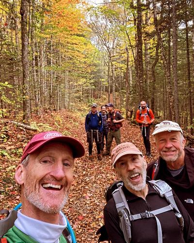
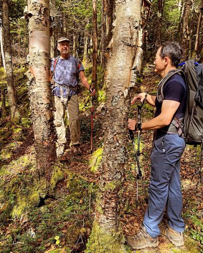
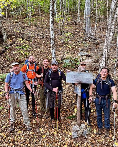
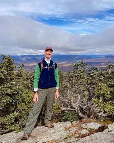
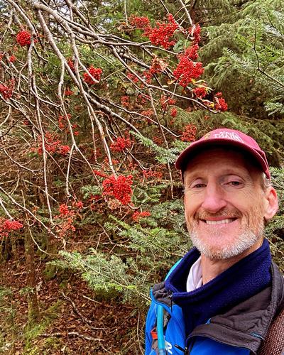
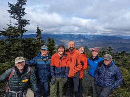
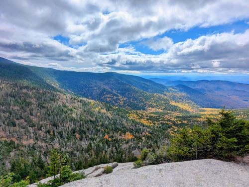
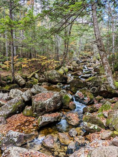
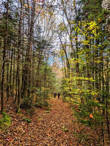
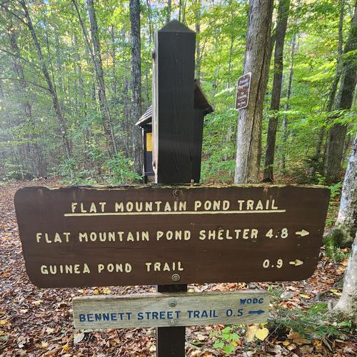
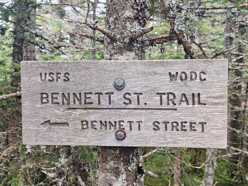
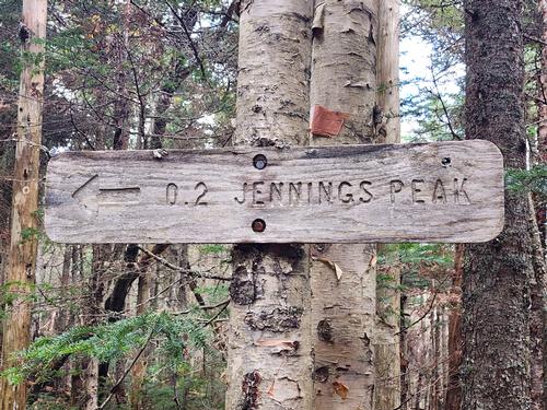
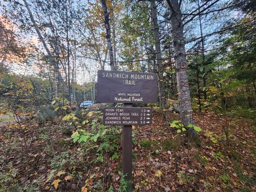
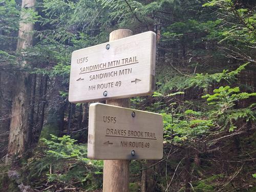
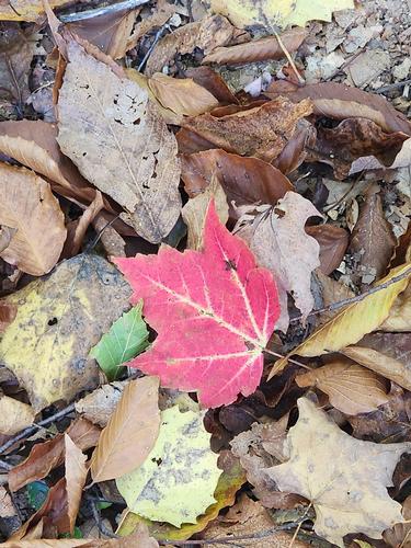
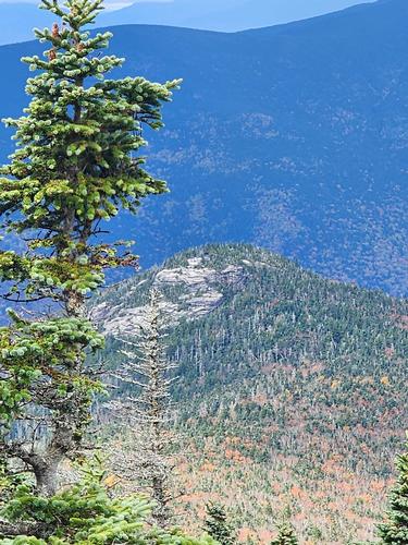
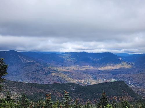
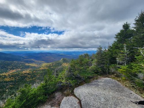
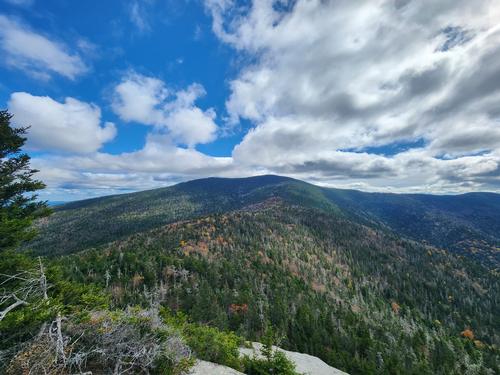
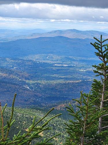
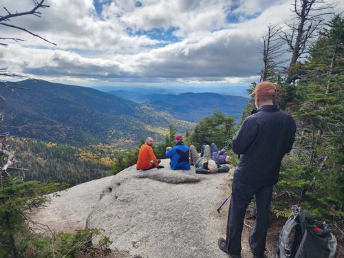
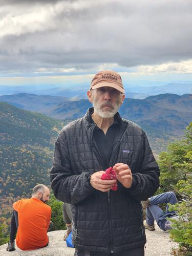
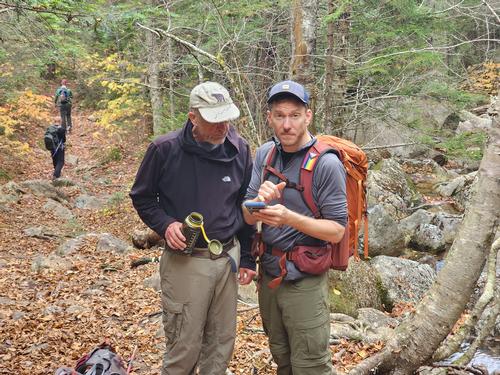
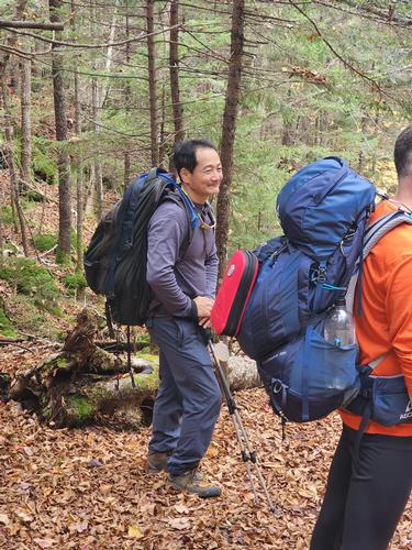
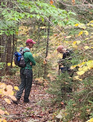
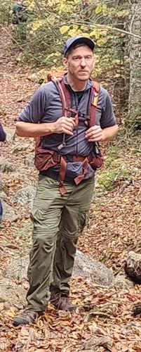
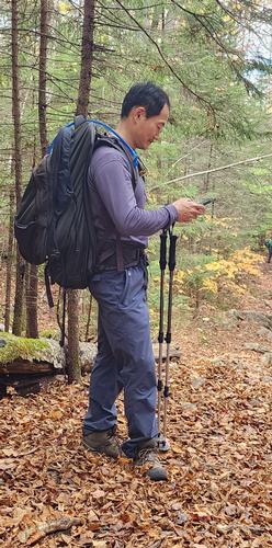
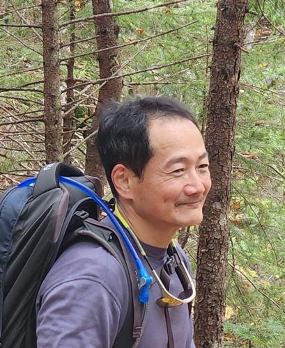
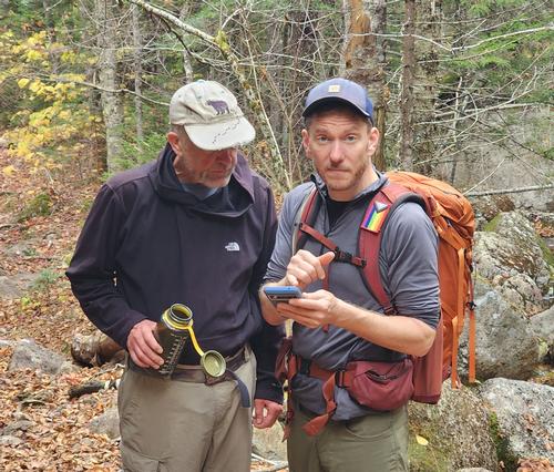
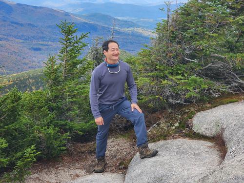
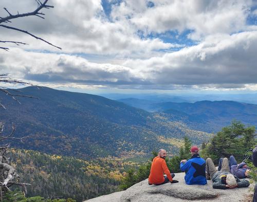
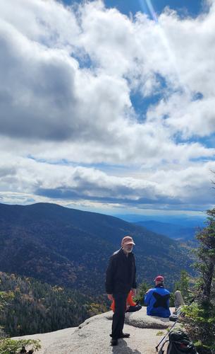
JT led a group of seven GO hikers for a beautiful fall hike of Sandwich Mountain, located in the southern stretch of the White Mountains. The group ascended Flat Mountain Pond Trail to Bennett Street Trail, which runs along Pond Brook. As we gained elevation, additional layers were pulled out of our packs. Thankfully the wind was mild and the sun broke through the clouds for most of the day. The climb was steep but the view from Sandwich was definitely worth it, with Waterville Valley opening before us. Other peaks, such as Osceola, Tripyramids, and Tecumseh can also be seen from here. We enjoyed lunch in the sun, chatting with each other and other hikers enjoying the views. After, we followed Sandwich Mountain Trail to Jennings Peak. This sub-summit of Sandwich had views that rival that of Sandwich itself. The valley below was rich in vibrant yellow and orange foliage, stretching well into the distance. We descended via Drakes Brooks, which is a gradual, gentle trail. A couple of us got our feet unintentionally wet in the last water crossing of the day, but better at the end of the day rather than the beginning! We ended around 3:30 p.m. with a distance just shy of 13 miles. Most of the group headed to Bobcat’s house after in Sugar Hill for pizza and salad. Thank you so much, JT, for a fall day to remember!
Event photos (47)
Reactions
Log in to react to this trip report.
About this event
Sandwich Mountain: elevation (highest point) 3986ft, distance to highest is 9.2 miles, total trip distance approx. 12.8 miles.
- Ascent via the Flat Mountain Pond Trail to Bennett Street Trail
- Decent via the Sandwich Mountain Trail to Drakes Brook.
This trip is considered STRENUOUS.
- Steep grade
- Consistent and steady pace
- Distance/elevation
- Not advised for first-time hikers
The group will meet at the Flat Mountain Pond Trailhead at 8 a.m. and depart up the trail at 8:15 a.m. SHARP.
PREPARATION/WHAT TO BRING: The White Mountains can have unpredictable and extreme weather changes year-round. It is recommended that hikers have extra dry clothing and wind protection. Always have water and food. If you need suggestions on what to bring, PLEASE ASK!! The summit building access will be unknown, please plan accordingly.
It is also highly recommended to bring a BLISTER KIT (DIY kit online).
For this trip, it is important to bring along flexibility, patience, and a sense of humor.
Group Size It is not fun leaving folks out.
- If you cannot attend, PLEASE cancel so others may join.
- If you are on the waiting list, please contact me days prior to the trip, most likely there will be room and if needed this trail will allow us to break the group into two smaller groups.
- Please do NOT bring any dogs on this hike. The summit will be busy with hikers and non-hikers.
Decreasing the impact on the environment is always a priority! Please plan to “carry in and carry out” all items. It may also be possible to collect other hikers’ debris along the way.
Weather: If the weather is a concern any updates or cancellation information will be posted by the Thursday prior to 6 pm. If there is a cancellation, it will include a “possible” rescheduled date so participants can watch for that opportunity. For the current weather on this hike use the following link: www.mountwashington.org
Safety is a priority! Any time a hiker is injured or lost a HUGE team of volunteers is dispatched to aid in the search and rescue efforts. No one wants to be injured or put others in harm’s way. Always be prepared. Know your limits. If you have any questions, feel free to contact the hike leaders.
The group will meet at the Flat Mountain Pond Trailhead at 8 a.m. and depart up the trail at 8:15 a.m. SHARP.
Who came along (8)
 GUEST MEMBER
  SUSTAINING
  GUEST MEMBER
  GUEST MEMBER
  SUSTAINING
  SUSTAINING
Comments
Log in to join the conversation.