
Baldface Circle Loop Trail
Amazing 360 degree day
The trip report
Written by a member
The Baldface Circle Trail is one of the most magnificent hikes in the White Mountains with nearly 4 miles of open ledge rivaling the northern Presidentials in terms of views. Located in the northeastern corner of the Whites near the New Hampshire and Maine border, the trail is a strenuous and sometimes challenging 9.8 mile loop (3600 elevation gain) which climbs the Baldfaces (North and South). Burned by fire in 1903, these two bald mountains provide jaw-dropping views of the higher summits in New Hampshire and Maine.
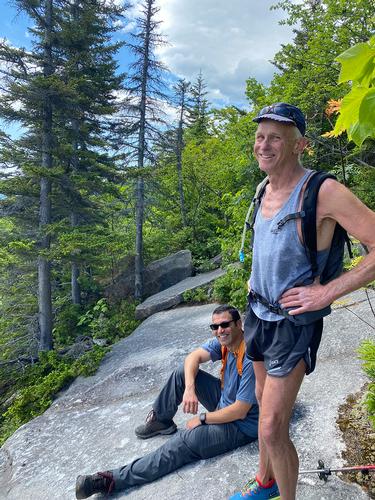
The four of us met at the trail head parking lot on Rt 113 which at an elevation of just 500′ which is low for White Mountain trails. The weather for the day was perfect, quite warm and sunny but with a cool breeze on and off for the most of the day. So the bugs were really minor and mostly only showed up when we were near water. We did the loop clockwise. The trail climbed gradually though open forest to Circle Junction at 0.7 miles and then moderately following an old road covered with rocks and leaves, past the Slippery Brook Trail junction and continuing to the South Baldface Shelter - one of the few lean-tos left in the White Mountains where we met some friendly young Canadian hikers who were hiking and camping for the weekend. We continued to run into them several more times throughout the day and I have to admit the French accent on a young man is perhaps more charming than even an English or Aussie accent.
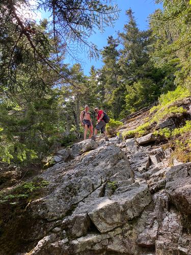
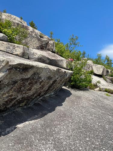
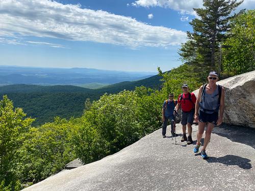
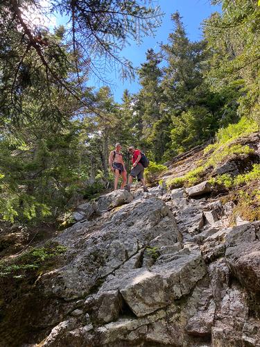
We continued to the summit of South Baldface (3750′). The dreaded ledge portion of the Baldface Circle Trail starts just beyond the shelter and continues 0.7 miles to the intersection of the Baldhead Knob Trail. The climb is a steep scramble over slabs of terraced granite with few (just enough) hand holds. This section of ledges are at the top of the Terrifying Twenty-Five list and there’s a good reason for it. The short legged hikers we came across were definitely challenged on the ledges, and it was a workout for all of us for sure.
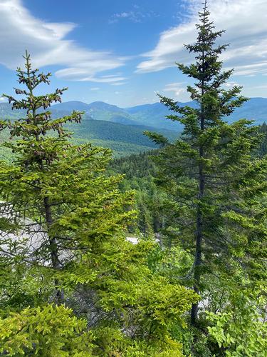
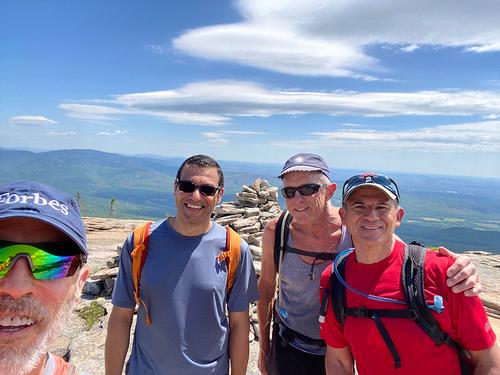
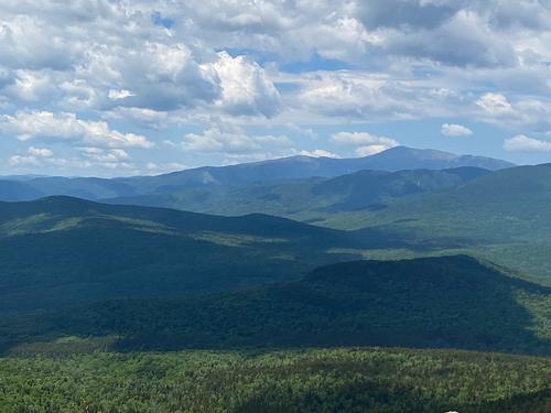
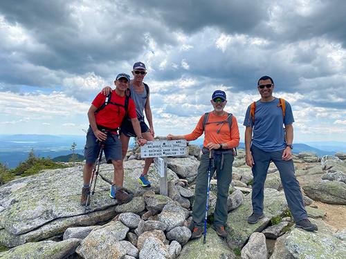
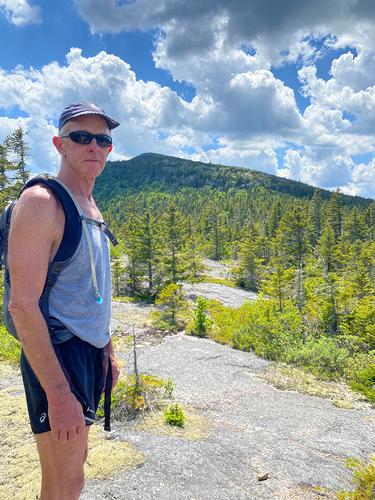
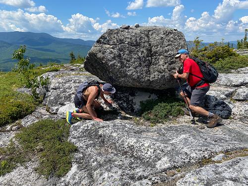
Once we climbed the ledges we reached an open false summit below South Baldface which is a good spot to take a break (with an excellent view of North Baldface) but I pushed us onward to South Baldface (since it was so close) by following the rock cairns. As a reward we had lunch #1 (like hobbits) even though it was shy of noon. There is an enormous (like the biggest I've ever seen) cairn on the top of South Baldface’s open summit. The 360 degree views from South Baldface were truly amazing. After the leisurely lunch we continued on the trail from South Baldface to North Baldface. While there was some scrambling between the two peaks, it was nowhere are strenuous or sketchy as the climb up the ledges on South Baldface. Like South Baldface, North Baldface is an open peak without any cover. Just 40′ higher than its sibling, North Baldface has even better views south and to the west, including a view of Mt Washington and its subsidiary peaks. Here we enjoyed Lunch #2, and ran into our Canadian friends again.
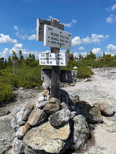
Leaving North Baldface, the trail continued over more open ledge dropping steeply in places where one's butt muscles can be used to good effect. We continued following the cairns past the Bicknell Ridge Trail Junction and Eagle Crag where the trail begins its descent leading back to Rt 113. The initial part of this section drops very steeply and roughly for several hundred feet but after a bit it leveled off and then we followed a sequence of old logging roads back to Circle Junction. At that point we took a quick side trail to the jade green swimming hole called Emerald Pool where Ricardo and Marc jumped in (sorry no pix!) to cool off. We saw almost the same number of people at the pond we had seen all day hiking! Then the final .7 miles to the parking lot. All told, a beautiful day in the Whites for great hike with GO.
Event photos (12)
Reactions
Log in to react to this trip report.
About this event
BALDFACE CIRCLE TRAIL: elevation (highest point) 3610ft, distance to highest point 4.9 miles, total trip distance 9.8 miles. Elevation gain 3,454 ft.
This loop hike is considered HARD but MODERATE TO STRENUOUS. We will maintain a moderate speed (approx. 2 mph) but stop for breaks (and views!) as needed.
This is an great trail with a smooth wide-open summit area. This trail provides an array of challenges and remains one of the most popular trails in the WMNF. The first 2.5 miles is a gentle grade to gradual increase in grade. After 2.5 miles to the first summit the grade will get steep and exposed. The trail follows a gentle traverse between the summits and the route down is fairly simple descent. Returning to the parking area the trail passes an amazing deep refreshing swimming hole.
Expect 6-7 hours plus time for lunch
Come prepared with appropriate attire for Summer Mixed Conditions, including wind/rain shell, dry/warm layers, and well broken in footwear suited for rocky ledges, roots, loose rocks, and mud. Please bring desired food, snacks, and enough water to complete the trail, there will be stream crossings.
Day Hiking Essentials Checklist
Dogs are allowed on this trail (and may be off-leash in some areas.) Dogs are the full responsibility of the owner and cannot interfere with the hike or the participants. This hike may not be ideal for dogs because of other dogs, crowds, and open ledges. It is up to the owner. A leash is highly recommended (also required in WMNF).
Weather: Hike may be rescheduled if there will be serious rain or thunderstorms on the day. Will post any update/cancellation information by the Thursday evening/Friday morning June 24th.
Comments
No comments yet.
Log in to join the conversation.