
Deboullie Mtn - hike to fire tower
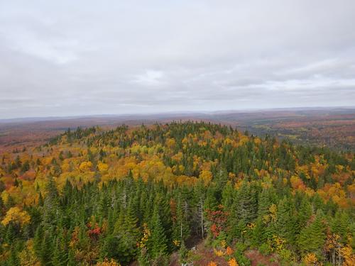
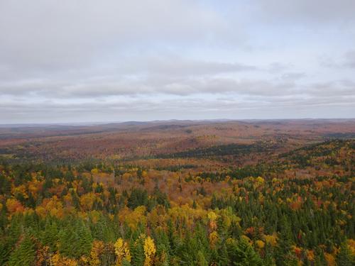
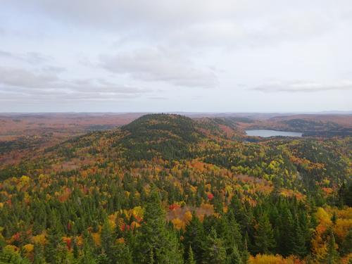
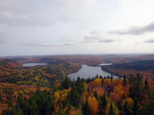
Hike up the "boring" side of Deboullie Mtn, plus leaf peeping.
The trip report
Written by BillyB1976
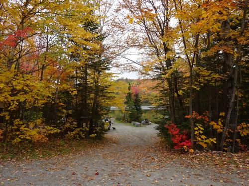
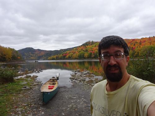
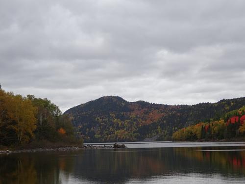
Good fall day for a hike. A little cloudy, but still nice.
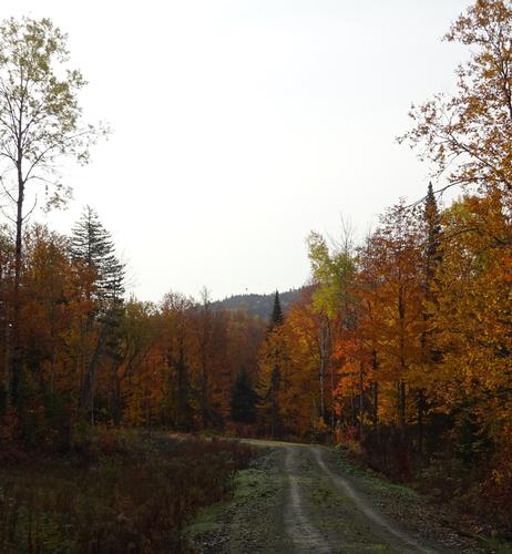
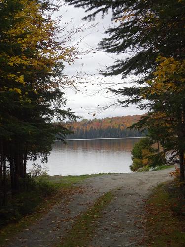
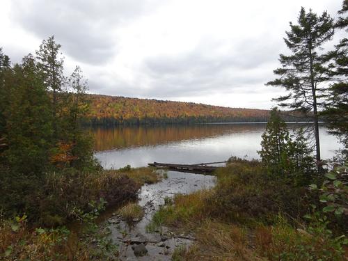
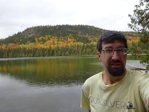
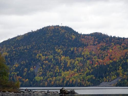
The purpose of this trip was to hike up Deboullie Mtn. - elevation around 1,980 feet, and to also do some leaf peeping before the leaves are gone.
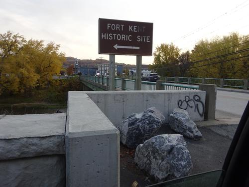
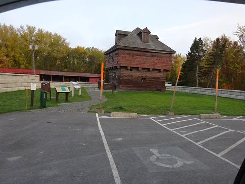
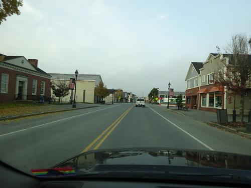
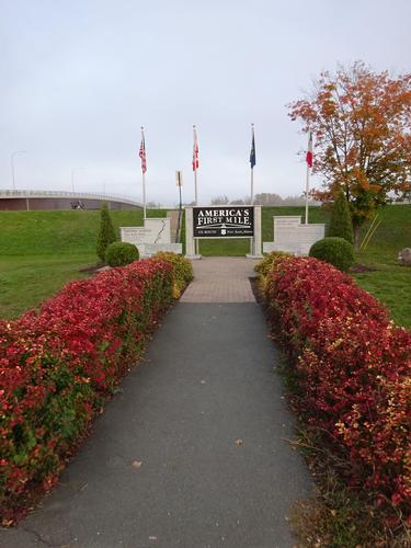
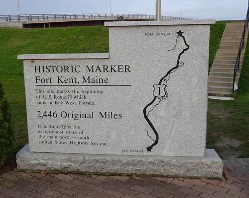
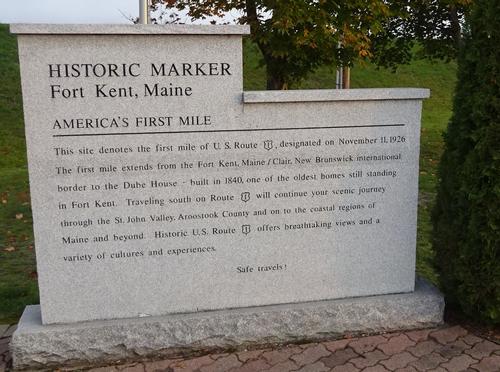
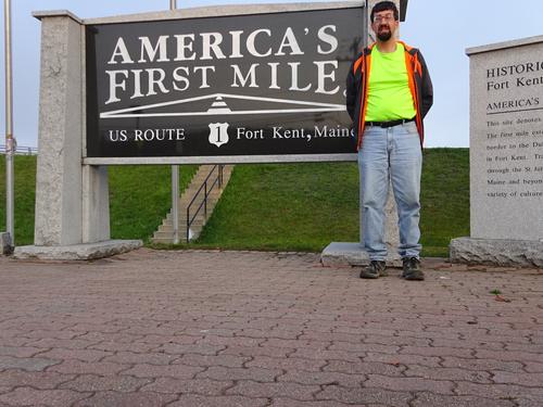
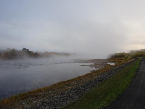
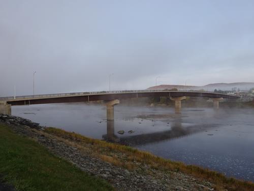
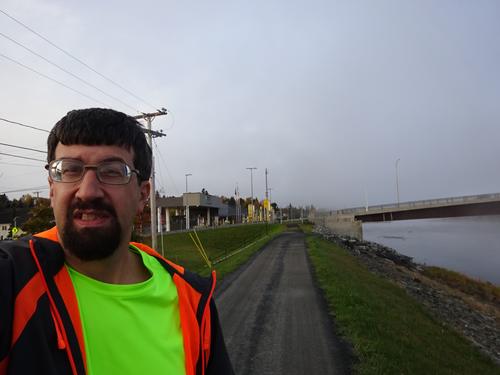
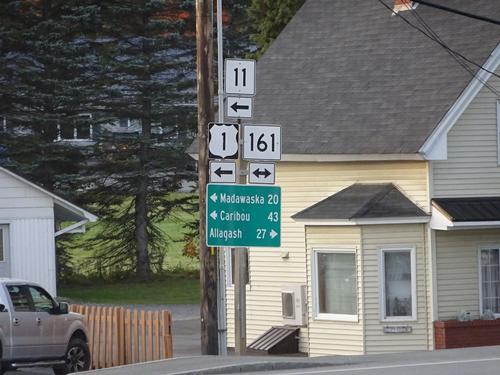
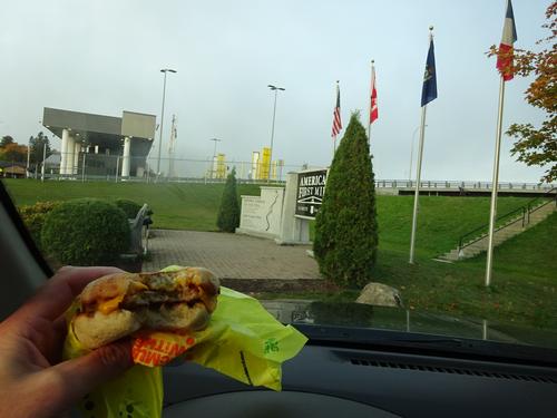
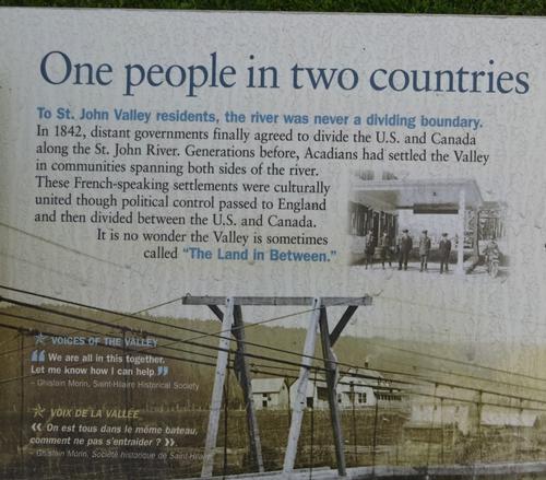
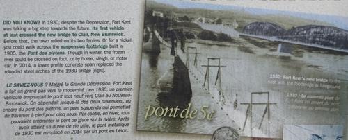
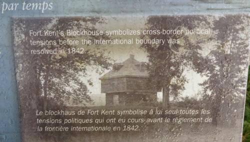
I stopped in Ft. Kent before continuing to my destination. I had a meeting time for this hike at 8AM, and I pulled into the meeting spot at exactly 8AM. Couldn't have timed that any better. I knew there wasn't anybody waiting for me, but it was funny I arrived at the exact time. :)
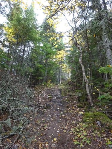
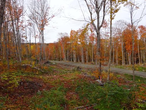
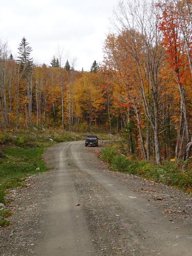
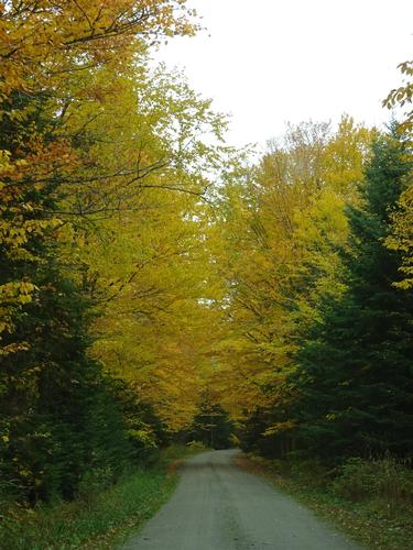
Back on Labor Day weekend I had scouted this area for the snowmobile trail that goes up the "boring", back side of Deboullie Mtn. I found what I felt should be it, but today I decided to scout a little more just to be safe. I parked about 0.3 miles beyond the spot I found on Labor Day weekend and went into the woods just beyond the cutover area and headed towards the spot I found on Lab Day weekend. I figured if there was another trail I'd be able to see it since I was not in the cutover area. Eventually a came to the spot I had found on Labor Day weekend without finding any other trails. This made me more certain that trail was the correct one. Since I was scouting, I did not bring my backpack, so hiked down to the road and walked the road back to my truck and returned to the trail and started the official hike. I spent about 1 hour scouting, so my start time was a little later than planned. I'm doing all of this by looking at Google Earth and TOPO maps. I have no other navigation aids to assist me.
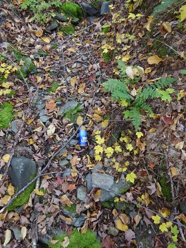
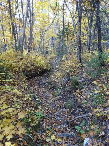
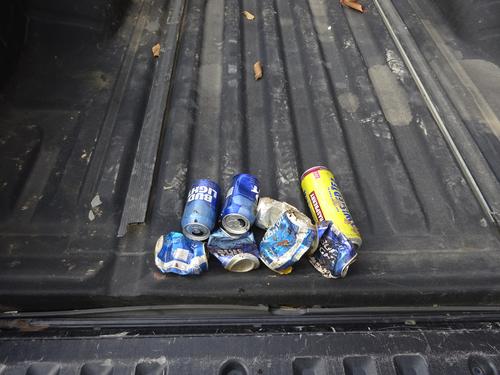
I found evidence the trail had been used. Cut trees was one clue. Another was beer cans! When unsure if you are on the trail, just follow the beer cans! :( The hillbilly, rednecks that go up Deboullie by snowmobile must drink on their rides, and just throw the cans when done! Fucking jerks! On my way down I picked up the cans I could see, but I'm sure there are still more under the leaves.
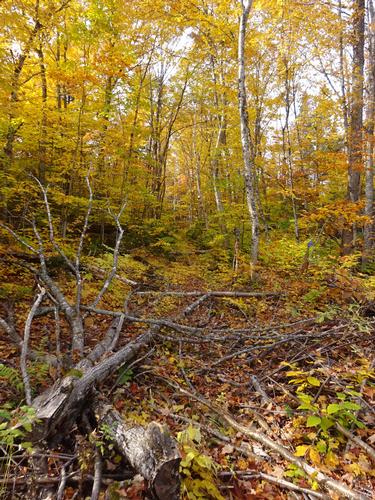
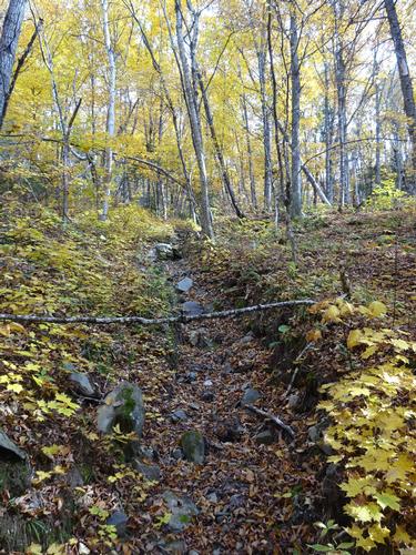
For the most part the trail was easy to follow. I did have to scout at three locations. In some spots the trail was severely eroded on the hills. One spot was probably 4 feet deep!
It took me 50 min. to get to the top of Deboullie Mtn. The trail up is about 1.75 miles. As expected nobody was on the trail I hiked. I don't think many, if any, people hike up Deboullie this way! Being a holiday weekend I was expecting people at the summit, and I was correct. Those people hiked up the "normal" way. LOL
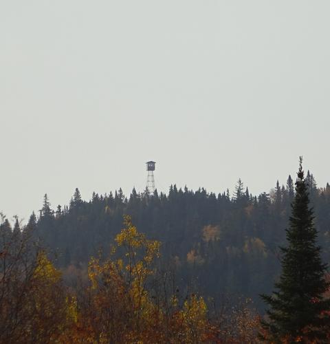
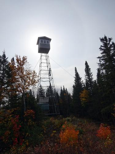
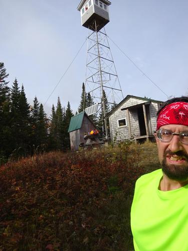
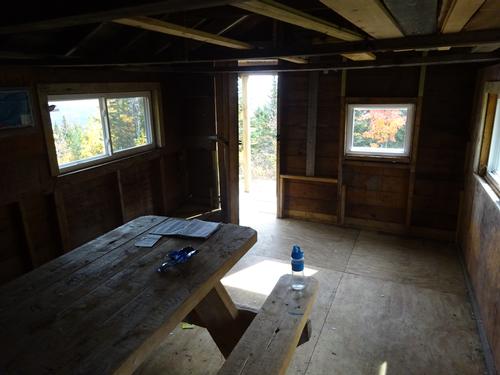
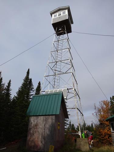
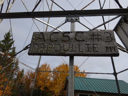
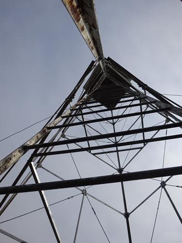
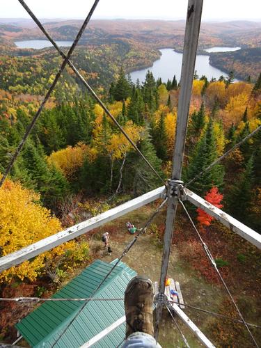
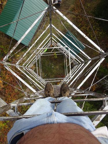
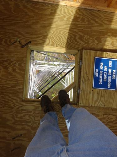
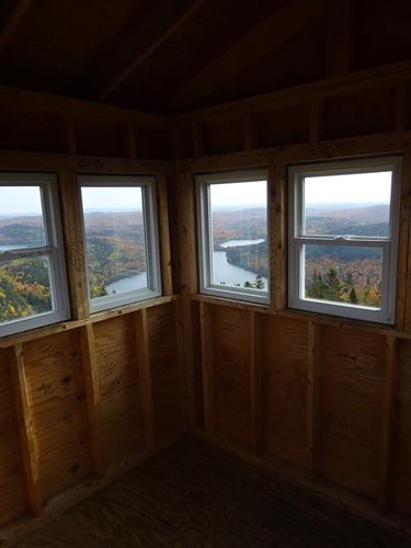
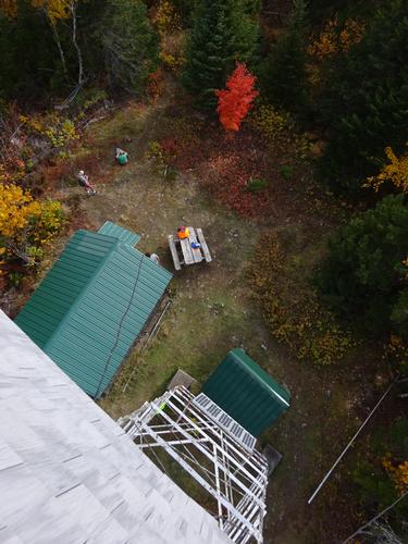
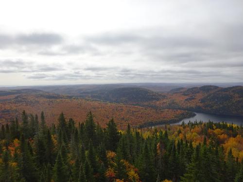
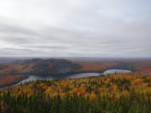
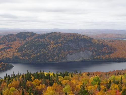
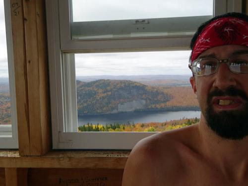
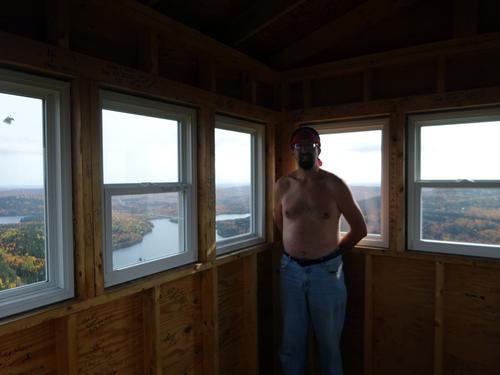
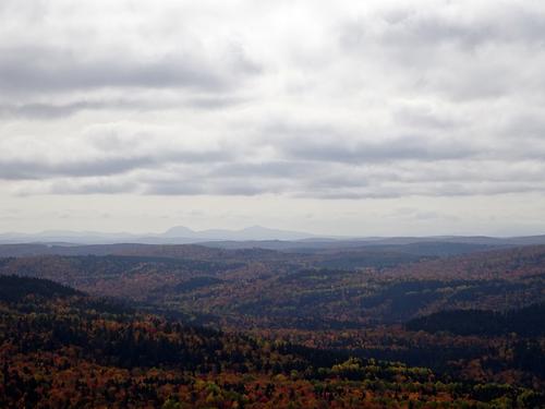
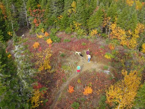
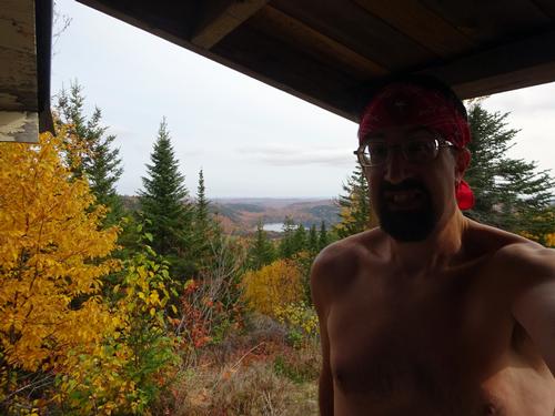
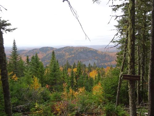
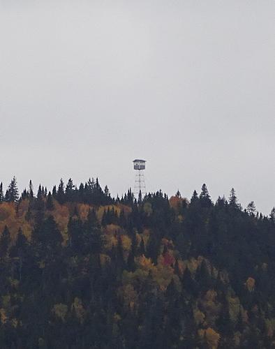
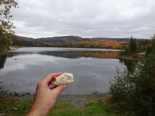
There were people in the fire tower when I arrived, so I had a snack while waiting for them to come down. The tower is about 48 feet high, with ladder access. The views from the tower are amazing! The cab was new last year. The old cab blew off in the fall of 2019! I was at the summit for 50 min. I returned the way I came, with a slightly different route going down the very first part of the summit. It only took me 32 min. to get back to the starting point. The total hike was 2 hours 10 min. Elevation gain is estimated at 680 feet.
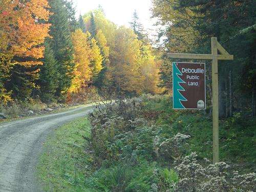
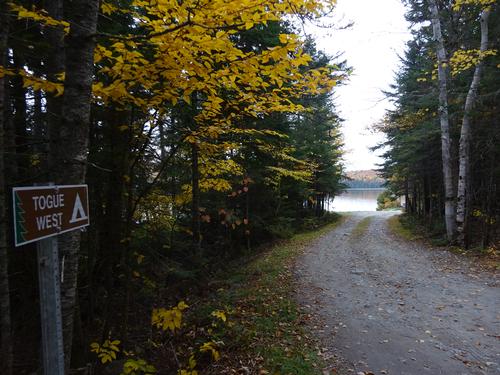
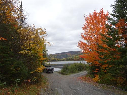
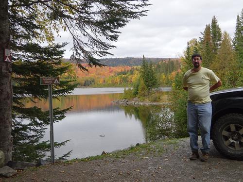
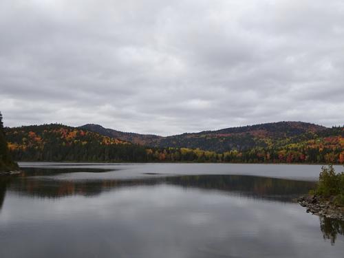
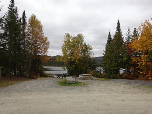
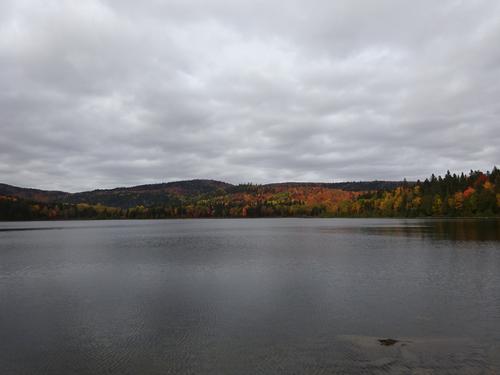
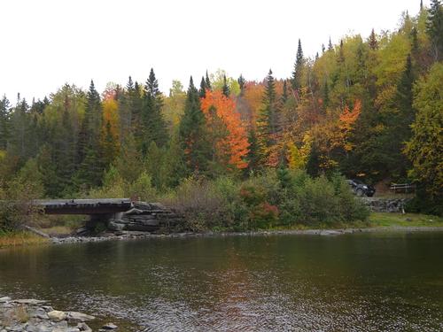
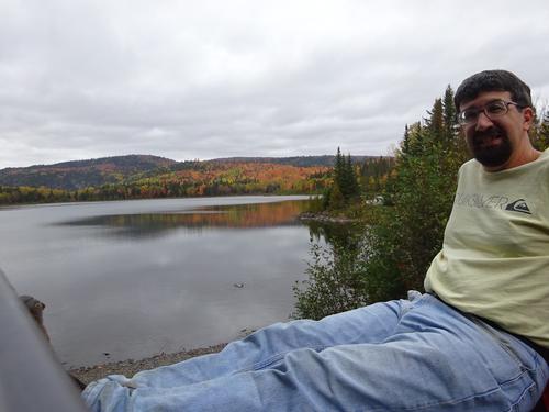
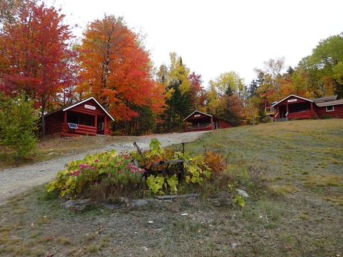
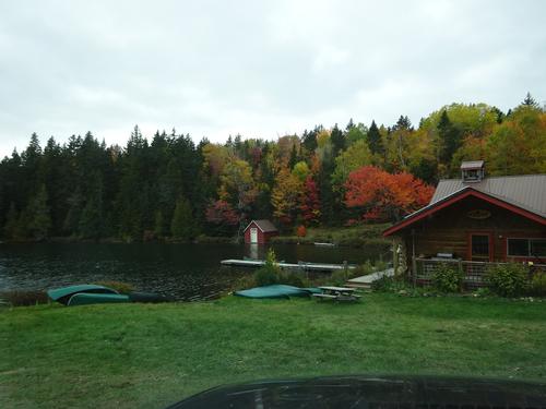
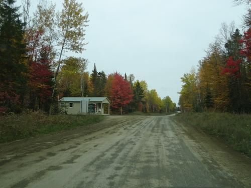
After the hike I drove around to the southern side of Deboullie. That is where all the hiking trails are, and the normal route up. :) LOL This area is the recreational area of the Deboullie Public Land, and there were people around. Several people were also camping.
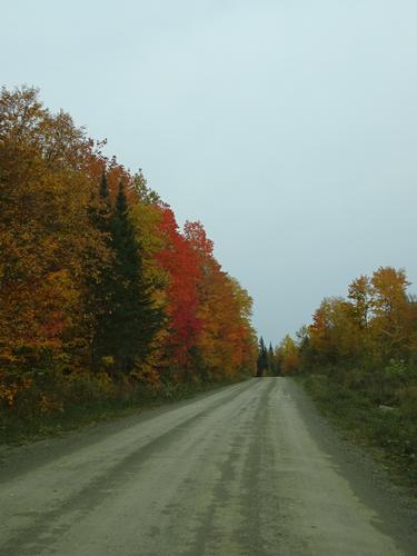
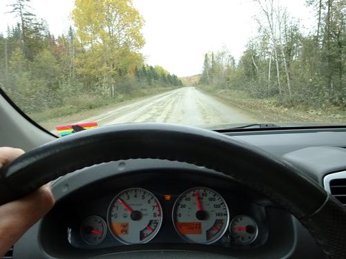
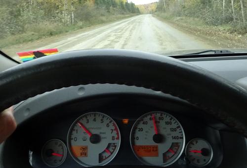
Total road mileage on the trip was 182 miles, with about 58 miles of that on woods roads.
I did see of couple of partridge (grouse) on this trip, but no big animals.
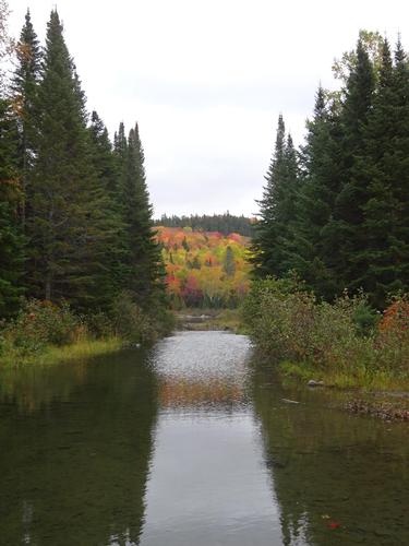
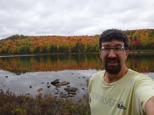
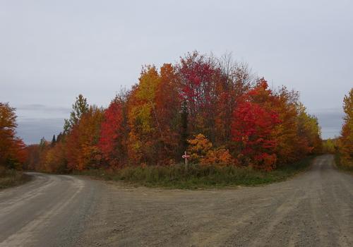
It was good to get out before the leaves are gone, which won't be long. :(
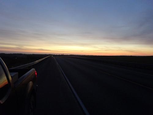
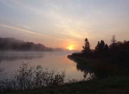
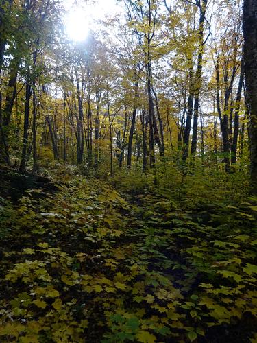
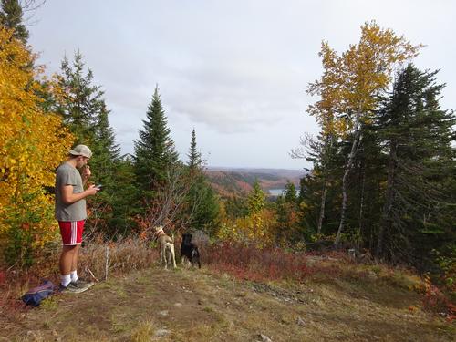
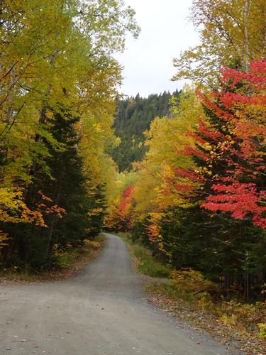
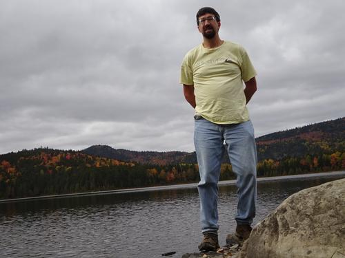
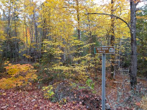
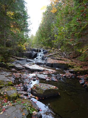
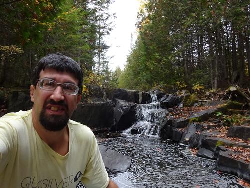
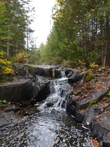
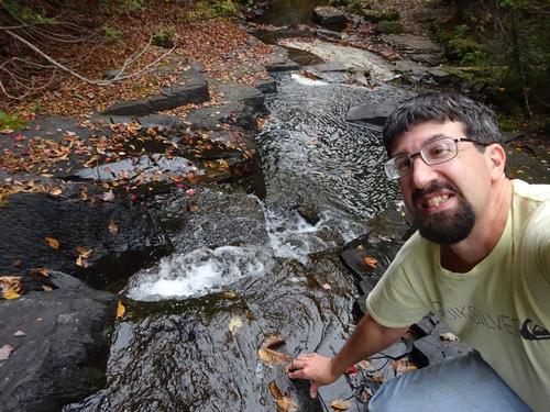
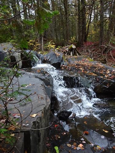
As always, I take way too many pictures. I narrowed them down to what you see here.
Event photos (107)
Reactions
Log in to react to this trip report.
About this event
This hike is WAY up in northern Maine near Fort Kent. So far north that nobody is going to want to drive up with such short notice, or even with several weeks notice! LOL :) But I'll post the hike anyway. :) For anyone who is actually considering this, I do believe Ft. Kent has only one motel.
Deboullie Mtn is located in the Deboullie Public Land in a very remote, rugged and scenic area of northern Maine. There is a fire tower at the top with ladder access. Elevation is around 1,980 feet.
My route up the mountain is not on one of the usual maintained hiking trails. My route will be going up the back (boring) side of the mountain. In the winter people go up the mountain on snowmobiles, and I believe many years ago people were able to drive Jeeps up the mountain.
On Labor Day weekend I drove to this area to scout for the trail and I eventually found what I do believe is the trail. The trail is shown on old topo maps and what I found seems to fit that area. I also found cut trees in the trail that look older than the more recent logging activity. Since this is not a maintained hiking trail, expect unknown conditions. (Mud, water, downed trees)
The hike will be about 1.75 miles each way. Elevation gain is around 680 feet.
Although I'm fairly confident I found the trail, there is a chance I could be wrong. In that case we'll just go around to the south side and hike up the maintained trail. 2 miles each way with an elevation gain of around 850 feet in the last 0.6 miles.
After the hike we can drive 16 miles around to the south side of Deboullie where there are many scenic views from the ponds. From there we'll make our way to Portage 28 miles to the southeast, where we'll hit paved roads again.
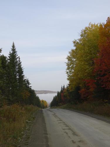
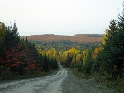
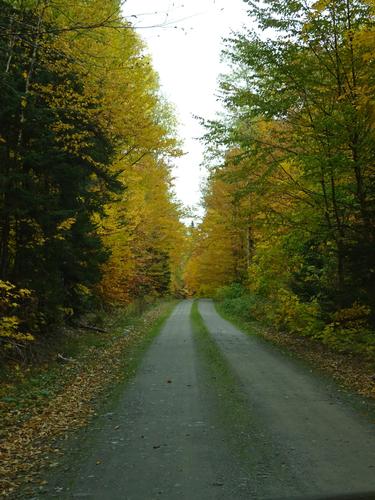
Fall foliage is peak in this area, and views should be excellent.
The hike itself is not a full day hike, but the entire adventure will be near that.
**
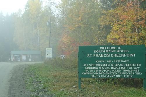
This area is within the boundaries of North Maine Woods. Visitors are required to register at a checkpoint and pay fees: Cash and checks only.
Maine residents - $11 per person per day
Non-residents - $16 per person per day
Under 18 and 70+ free
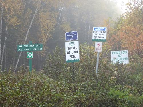
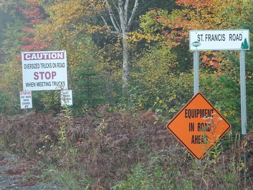
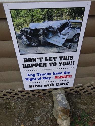
Use of this area is at "your own risk". Landowners are not responsible for anything that happens to you on their property and roads. Logging trucks have the right of way, and many are wider than what you see on public roads. Very unlikely there'll be any logging traffic on a Sunday.
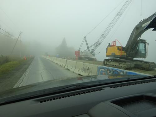
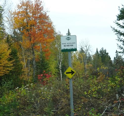
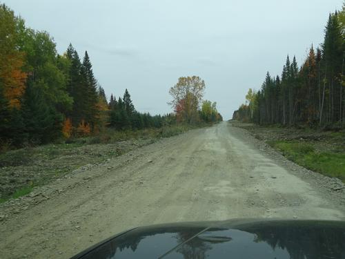
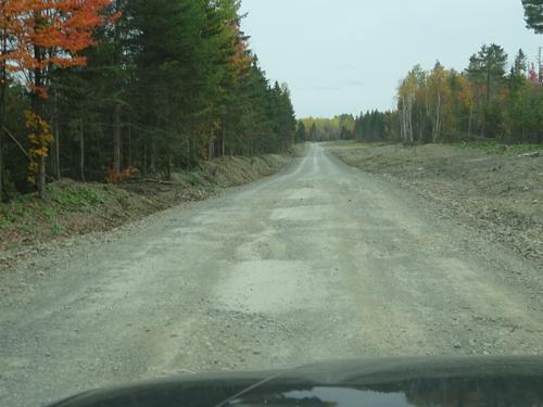
Irving Woodlands has been doing roadwork on some of their roads in this area over the past summer. Because of this some areas could be rough and uneven. Passenger cars/sedans are not recommended because of this.
Deboullie is a remote area and there is no cell service, although phones "might" work at the summit.
Who came along (1)
 GUEST MEMBER
Comments
No comments yet.
Log in to join the conversation.