
AT Hike- Big Horse Gap to Angel's Nest Trailhead
A nice hike in the clouds.
The trip report
Written by dnaturist
This 10.8 miles hike was shorter that the planned 12.3 mile hike, as we missed our starting trailhead by one mountain gap. We started at Sugar Run Gap instead of Big Horse Gap. The missed milage was added to the next hike.
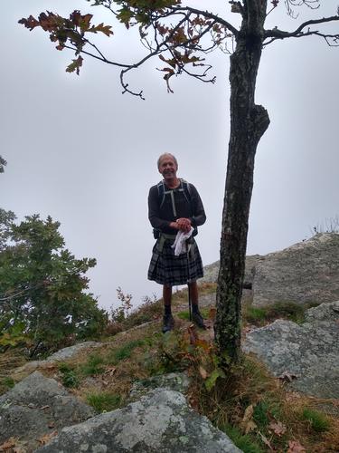
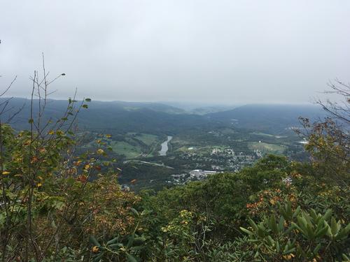
About 80% of the hike was done in the clouds. So, we did not have the views that we were hoping for. We hiked out of the clouds near Angel's Nest where we got a view of Pearisburg and the New River.
Three of us did this hike and we spent 6 hours and 20 minutes on the trail.
Event photos (2)
Reactions
Log in to react to this trip report.
About this event
This will be a one-way, south to north, 12.3 mile hike on the Appalachian Trail. The hike will begin at Big Horse Gap (high point at 4000 feet) and end at the trailhead parking for Angel's Nest (low point 1600 feet) in Pearisburg. This hike will require a car shuttle.
From Big Horse Gap the trail climbs breifly and abruptly to a small rock outcrop, no views. From here we'll begin a 600 foot descent over the next 1.6 miles to Sugar Run Gap (3382 feet) and VA 663. The trail begins to ascend reaching 3800 feet and a rock cliff overlook and at 3.8 miles the trail turns onto an old woods road, with lots of rhododendron on Pearisberg Mountain as we reach Doc's Knob Shelter (3600 feet).
At 7.2 miles the trail goes off of the road and begin the ascent to Pearis Mountain. Near the summit (3770 feet) there will be a rock ledge with panoramic views at 9.6 miles. At 10.3 miles we come to a short spur trail to Angel's Nest, a rocky overlook at the north end of Pearis Mountain. We soon pass through a boulder field on our 3 mile descent to the trailhead parking.
Plan on spending 8 hours on the trail for this hike.
Who came along (1)
 GUEST MEMBER
Comments
No comments yet.
Log in to join the conversation.