
The trip report
Written by dnaturist
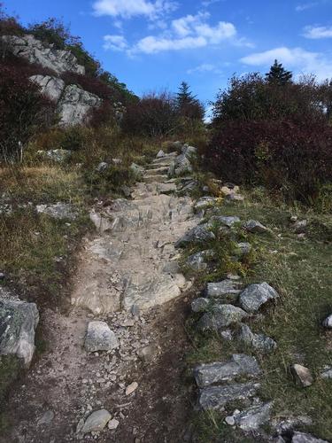
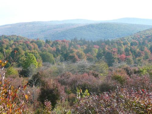
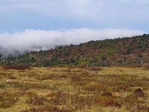
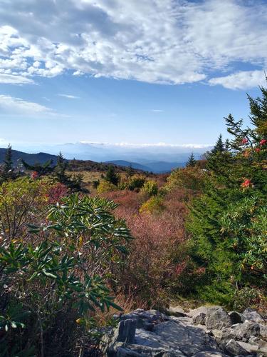
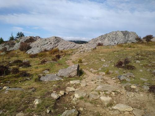
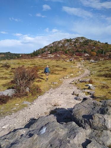
This hike was a little more difficult than I thought. Lovely views from the many balds and crest lines, but also rocky. About one mile into the hike we had some bolder hopping for about one mile. From there the trail was very rocky and rooty. At about mile six we got some nice smooth trail. The last five miles we also rocky.
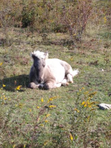
In the morning we had nice cool temperatures but also high winds onthe balds. Much of the hike was in Grayson State Park, which is famous for the wild ponies. Several times on this hike we ran into ponies.
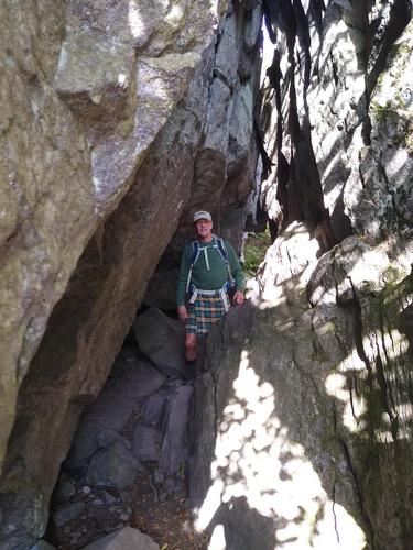
We also managed to easily get through the rock formation known as "Fat Man Sqeeze".
Event photos (8)
Reactions
Log in to react to this trip report.
About this event
This 12.8 mile hike will begin at a spur trail, of 0.3 miles, from the the Massie Gap (5000 feet) parking area to the AT where we will turn south. We shall cross a fence marking the boundry of the Grayson Highlands State Park and Mt. Rogers National Recreation Area. The trail will continue with an ascent. At 1.2 miles into the hike we shall come to "Fatman Squeeze", a narow tunnel of rocks. We will continue our ascent of Wilburn Ridge reaching Rhododendron Gap (5400 feet) at 1.8 miles into the hike. The trail will continue with minor ups and downs passing Thomas Knob Shelter at 2.8 miles. The trail will reach Deep Gap (5000 feet) at the 5 mile mark. At 7 miles into the hike we shall reach Elk Garden (4458 feet) and VA 600.
The trail begins an ascent from Elk Garden through the woods. We shall come to an open area with views at 9.3 miles, just below Whitetop Mountain summit. We reach Buzzard Rock (5080 feet) at 10.2 miles. From here we begin a steep descent of 1400 feet to VA 601 and the end of our hike.
This will be a one-way hike and will require an auto shuttle.
Plan on spending 8.5 hours on the trail for this hike.
Who came along (2)
 GUEST MEMBER
  GUEST MEMBER
Comments
No comments yet.
Log in to join the conversation.