
Black Mountain Hike
A productive day of hiking with warmer temperatures briefly teasing us with a preview of what we want to come SOON!
The trip report
Written by Gandalf
Mileage: 3.8
Elevation gain: 1730'
Trails used: Chippewa Trail.
We wanted to play it safe and go low key and not punish ourselves hiking this weekend. We needed something that would be broken out with views as the weather was forecasted for 30s and sunny skies.
Black Mountain is located in Benton and Haverhill, New Hampshire. It is also located in the Black Mountain State Forest. We also decided to visit the Lime Kilns that are in the area on the way back down.
Black Mountain is on the New Hampshire 52 With-A-View (52 WAV) and New Hampshire Fire Tower List.
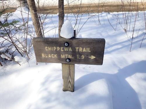
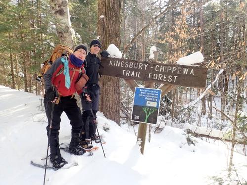
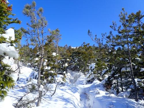
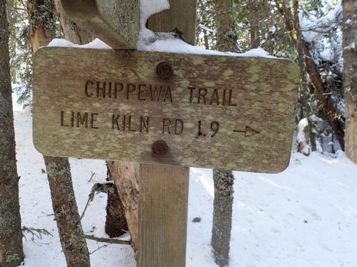
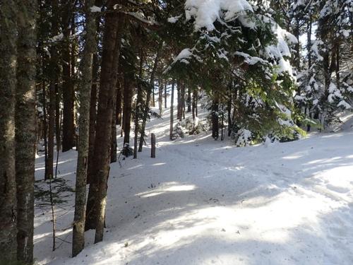
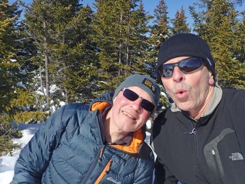
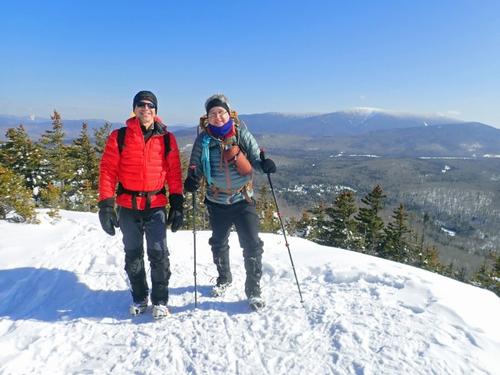
The start of the Chippewa Trail is off of Lime Kiln Road. The small trail head parking area was plowed out. The Chippewa Trail is part old logging road, part trail. We found the trail broken but were not sure how far the hikers may have gone so we put on our snowshoes. Rick switched to MicroSpikes on the steeps later on whereas Jon and I switched for the return.
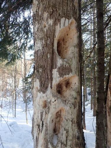
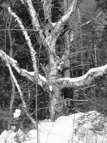
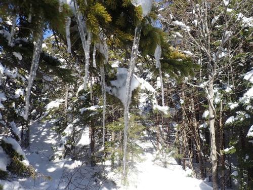
At the start we remarked how a woodpecker had gone to town on this tree.
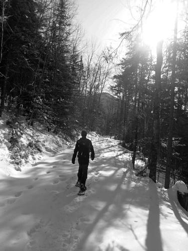
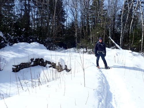
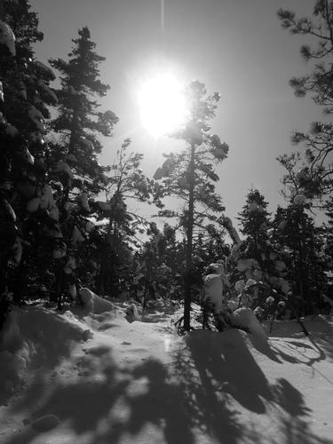
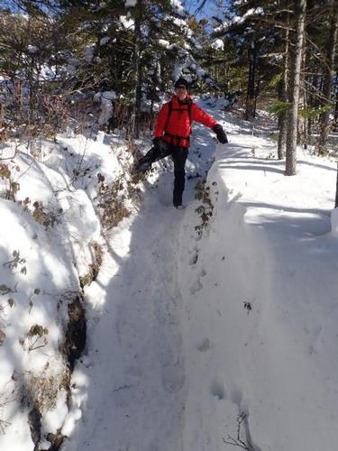
We began the ascent of Black Mountain up the Chippewa Trail, which heads up an old woods road with a steady ascent at first.
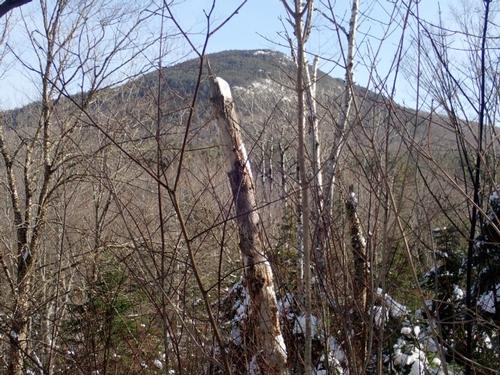
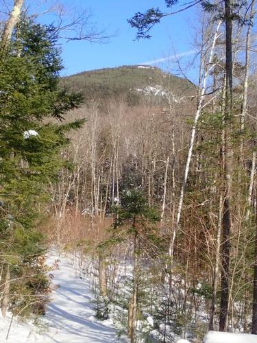
On the ascent we saw Black Mountain looming ahead. Sometimes it seemed like it was very high up and that we had lots of elevation gain left to reach the summit.
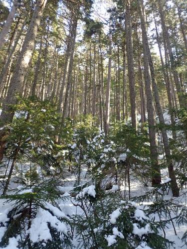
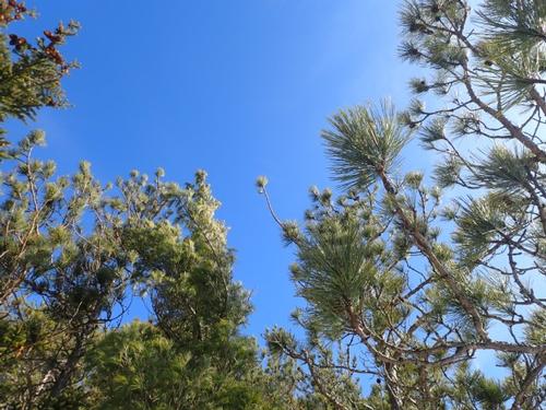
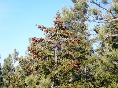
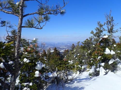
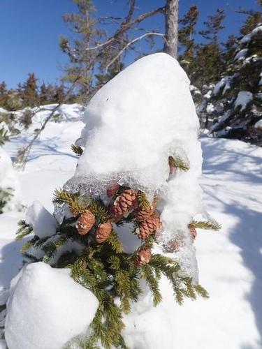
The Chippewa Trail has a good amount of yellow blazing. We then began the steep climb up the Chippewa Trail through nice woods. We walked through red pines on the way to the summit of Black Mountain.
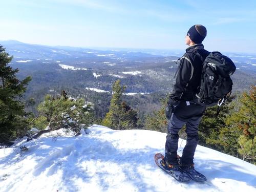
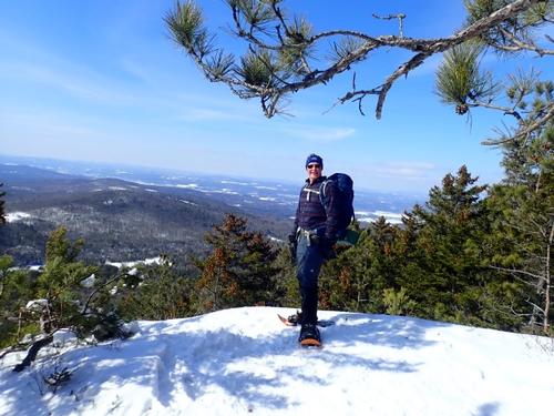
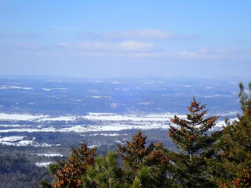
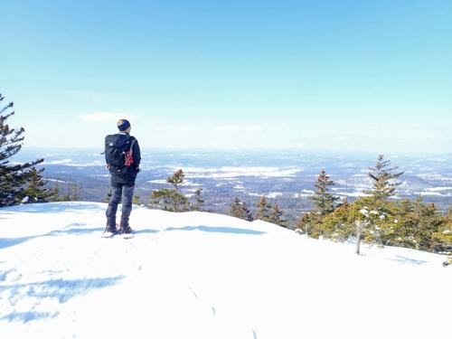
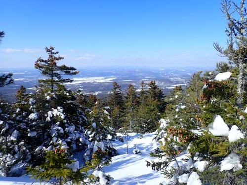
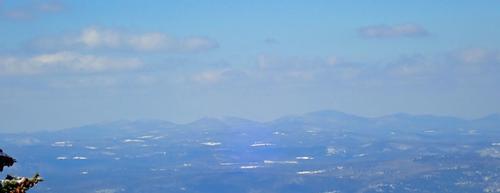
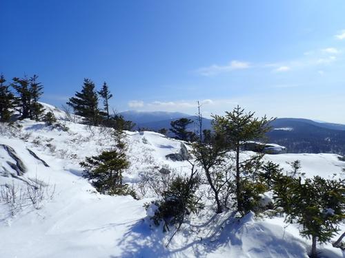
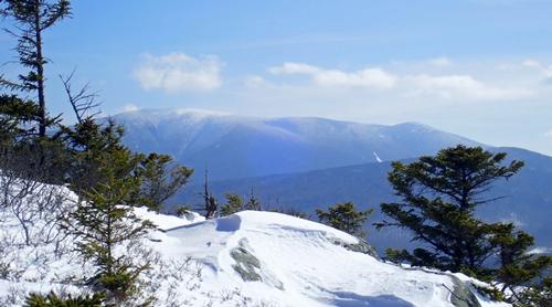
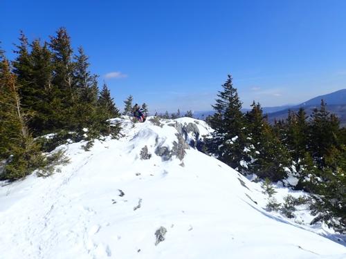
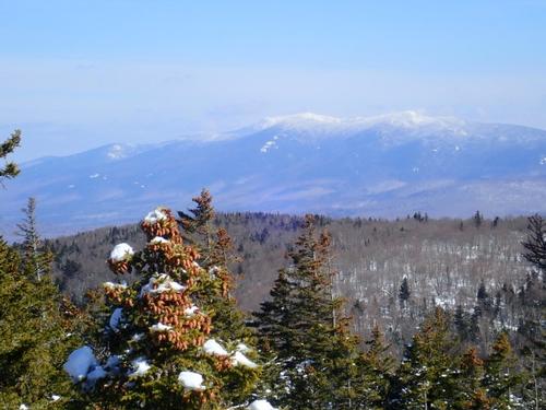
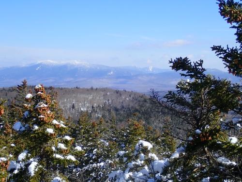
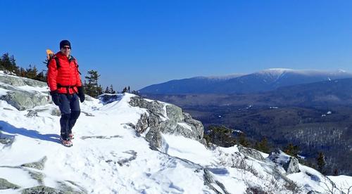
The Chippewa Trail makes its way over a ledge area with good views. NH Views included Piermont Mountain, Mount Cube and Smarts Mountain. Vermont views included Knox Mountains, Butterfield Mountain, Signal Mountain and Camels Hump barely visible in the background.
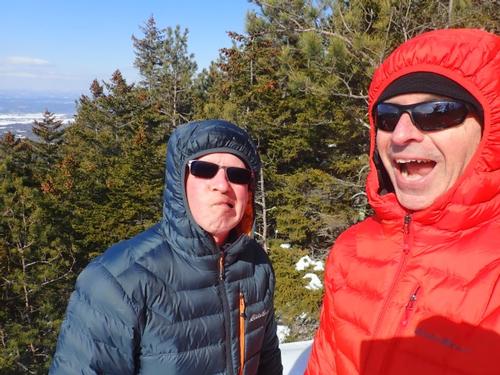
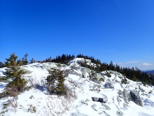
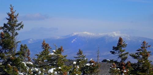
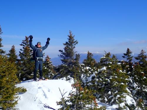
Just when we thought we were nearing the summit of Black Mountain, we still had to climb around more ledges to reach it. We then approached the summit area of Black Mountain (elevation 2830'). Views on the summit included the Kinsmans, Mount Wolf and Mount Liberty and Mount Flume. We could also see Mount Moosilauke, Sugarloaf Mountain and the Hogsback, Mount Jeffers and Smarts Mountain, Mount Cube and Piermont Mountain.
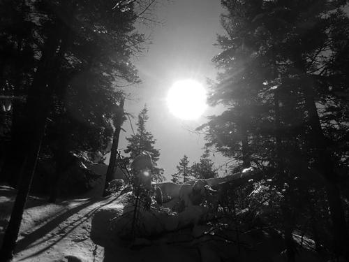
After lunch we returned the way we came coming down the ledges just below the summit of Black Mountain. We then began the steep descent of the Chippewa Trail.
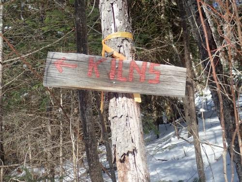
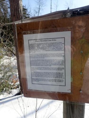
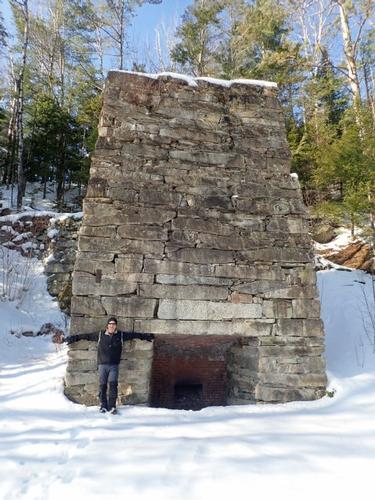
Almost back to the truck, we decided to visit the remnants of lime kilns that are in the area. The bigger lime kiln has been restored over the years.
A productive day of hiking with warmer temperatures briefly teasing us with a preview of what we want to come SOON! Enough with the snow and cold temperatures already!
We managed decent views this time around although the minor elevation still manages to wipe us out for today's hike.
Event photos (48)
Reactions
Log in to react to this trip report.
About this event
The finest summit in the little Benton Range west of Mt. Moosilauke at 1,800 feet, offers an expanse of open ledge at the top! There are wide views of the Connecticut River valley to Vermont, south to Black’s Benton Range neighbors the Middle Connecticut River Mountains, and east to Moosilauke, the Kinsmans and more. The upper section of the Chippewa is STEEP. We’ll have an opportunity for a fascinating detour to the Lime Kilns, huge ovens used in the 1800s to release lime from limestone.
The trail starts directly upward among dense pines and then among juniper through more overgrown fields. On the summit, we’ll search for Tipping Rock, a huge glacial erratic. As you can see, the views are terrific! Bring lunch, water and dress in layers.
Trail Specifics:
• Roundtrip Length – 3.75 Miles
• Elevation Gain - 1800 Feet
• Expected Time - 3.5 to 4 hours
What to wear/bring: MicroSpikes and Snowshoes. Have your snowshoes strapped to your pack at first because we might not need them at the start. Wear warm clothing suitable for the exposed ledge and summit(s)...no cotton or blue jeans. You should also have insulated boots suitable for the season. Additionally, consider bringing neck gaiter/scarf, face protection and a headlamp/flashlight. Bring along at least 1 liter of water, lunch, snacks and anything else you may require for a day hike.
If you have any questions, please reach out to us in advance.
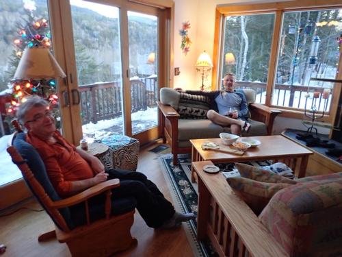
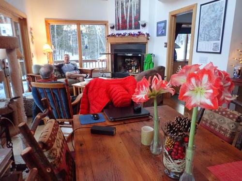
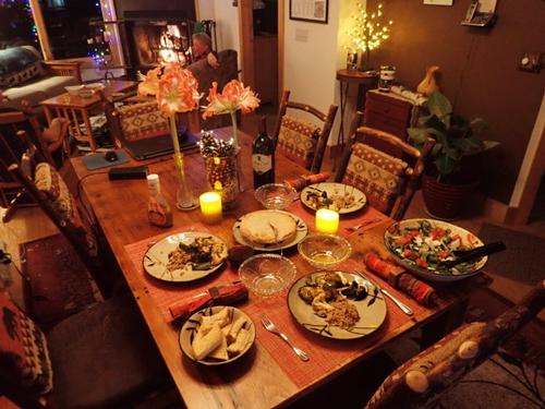
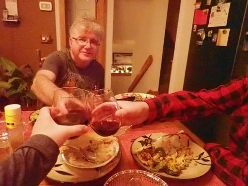
Après Hiking Dinner Saturday: Everyone is welcome to join us back at our house in Waterville Valley to relax beside our fireplace views of the Sandwich Mountain/Mad River [BYOB and bring snacks] followed by one of Jon's delicious dinners. We ask $10 per person to help pay for our food costs. Showers are available so bring a change of clothing to make your visit with us more comfortable.
Lodging Option: Bunk beds are available at our house [with Wi Fi] near Waterville Valley, NH for Friday and/or Saturday night. It's $25 for each night that includes dinner. Coffee/bagels each morning and linen/blankets/towels are provided. Space is limited so email ASAP to reserve a bunk!
Who came along (2)
 SUSTAINING
  SUSTAINING
Comments
Log in to join the conversation.