
Jackman, Maine. Boundary Bald & Sally Mts
Jackman area camping trip. Hikes to Boundary Bald & Burnt Jacket Mountains.
The trip report
Written by BillyB1976
* Lengthily trip report & lots of pictures *
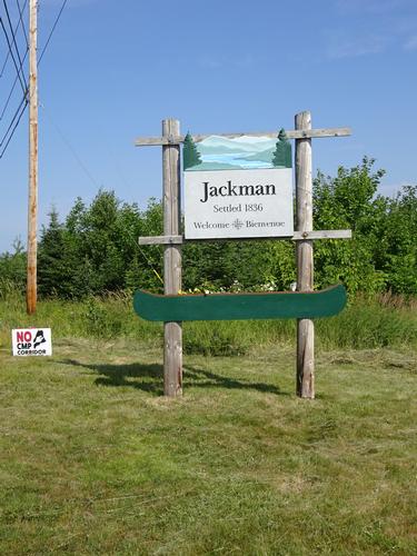
I went to the Jackman area to do some hiking. My main goal was Boundary Bald Mtn.
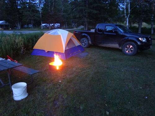
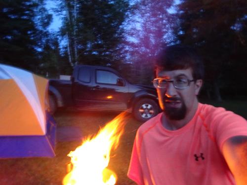
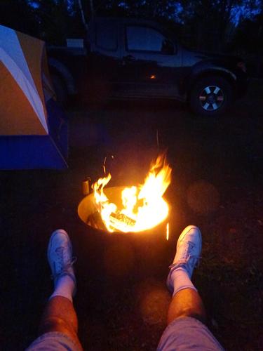
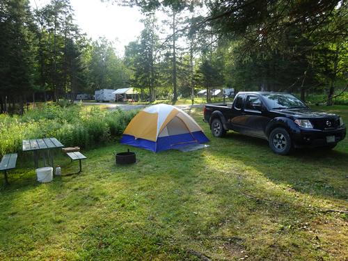
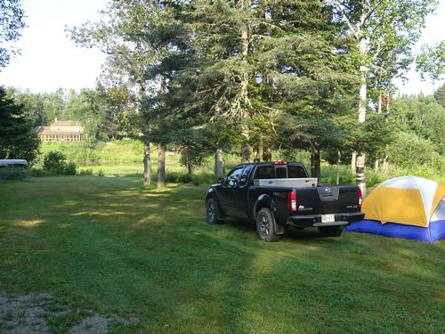
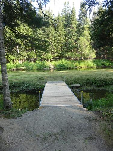
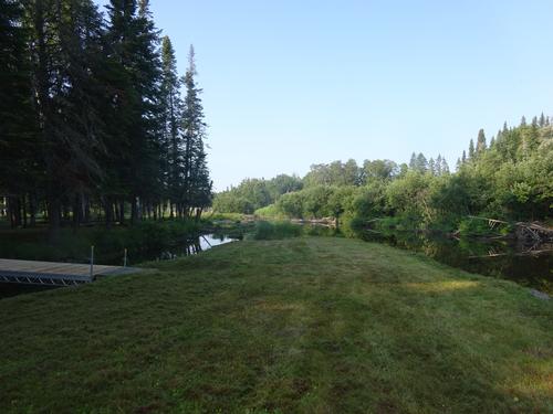
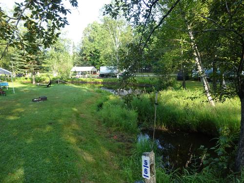
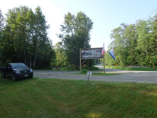
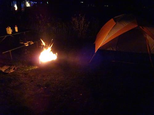
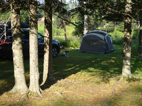
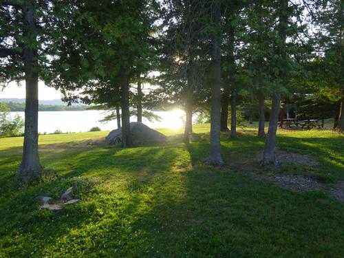
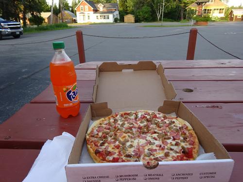
I camped at Moose River Campground just outside of Jackman on Thursday and Friday nights. I didn't rough it as I was close to town and took advantage of the stores and restaurants. Most of the people camping were in RV's.
Even though the campground is local to many hikes in the area, I'm not sure I'll stay there again.
One major issue is that the campground is close to a lumber mill. I was aware the mill was nearby but was unaware of 24/7 operations. I like it quiet, so I did use earplugs to block out the sound.
Another issue is with the campsites I had to pick from, many of them did not have a picnic table. I would think every site should have a table? I did ask for a table and the owner got one for me, although it could've used a paint job.
And also many of the campsites are fairly close to one another with no privacy.
For positives, the owner was friendly. The grounds looked well kept. The bathrooms were clean with plenty of hot water. The campground itself was fairly quiet.
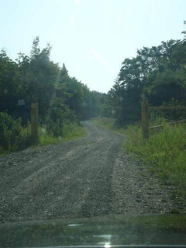
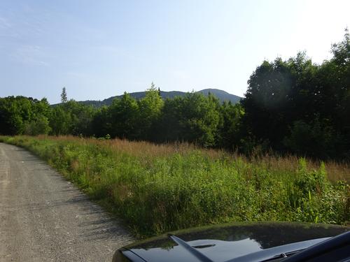
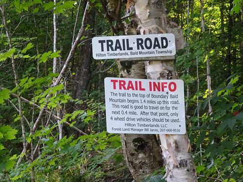
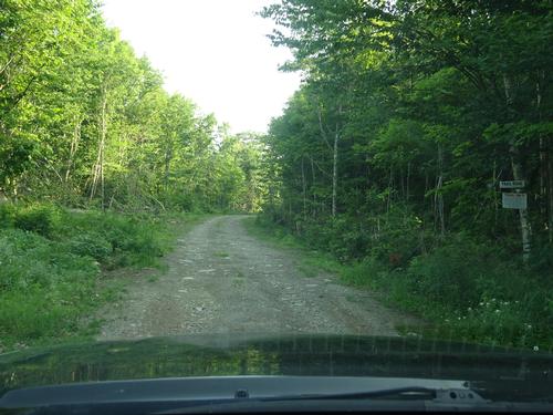
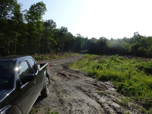
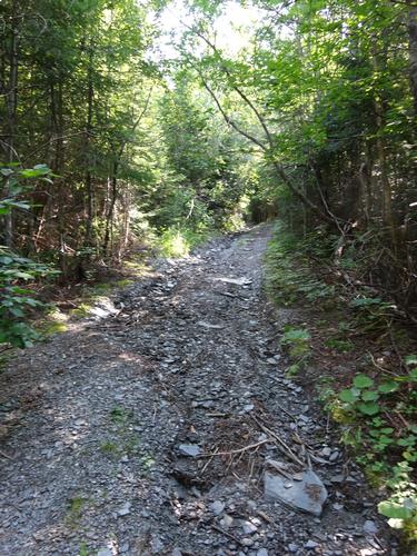
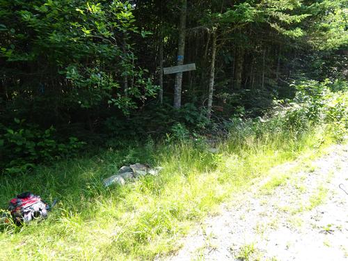
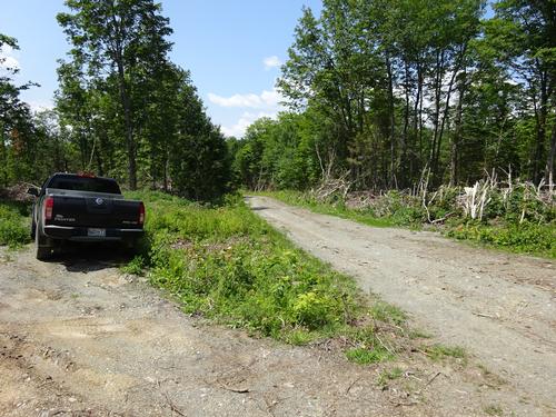
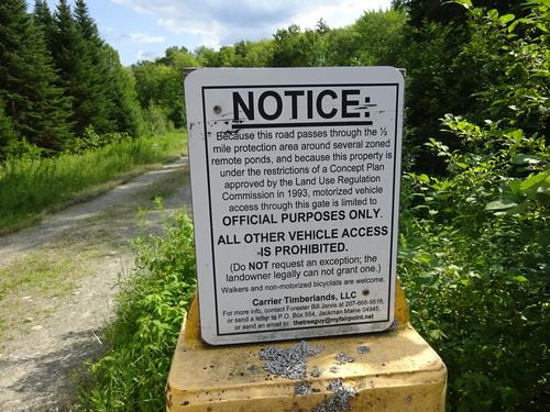
On Friday morning I hiked Boundary Bald Mtn north of Jackman. The elevation is 3,640 feet. I was able to drive 0.3 miles further up the road than I thought I could.
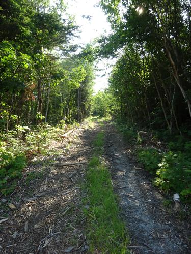
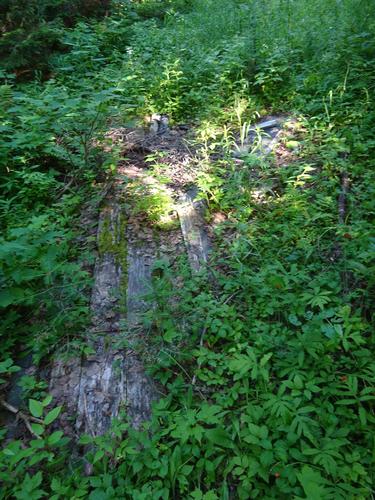
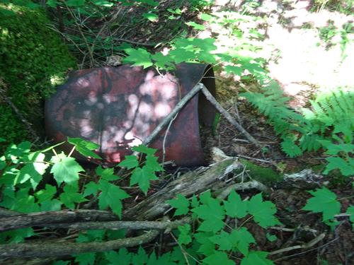
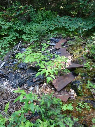
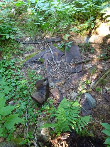
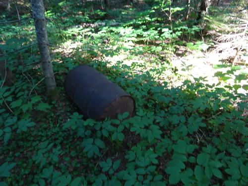
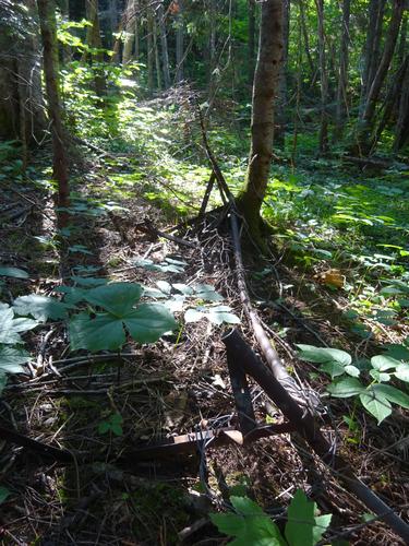
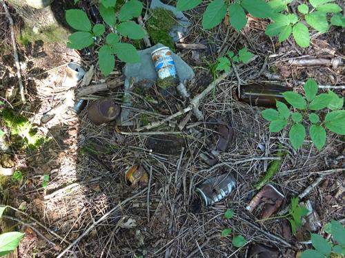
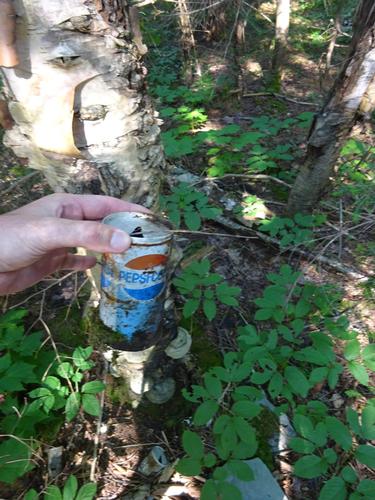
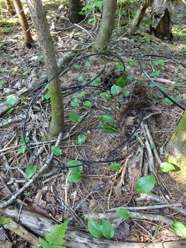
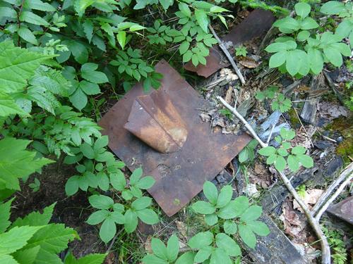
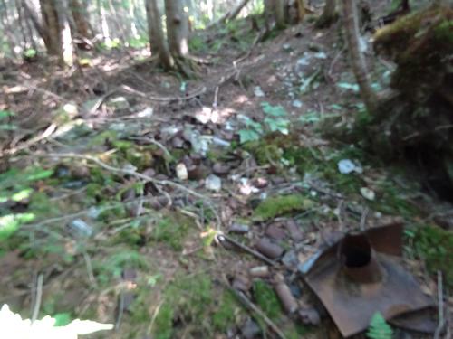
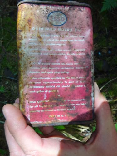
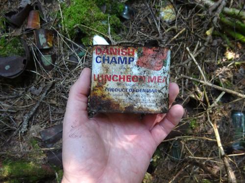
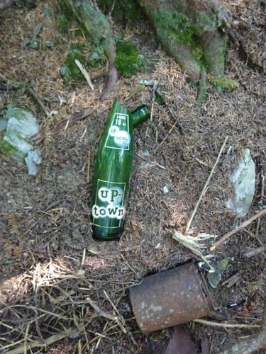
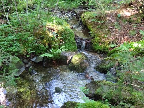
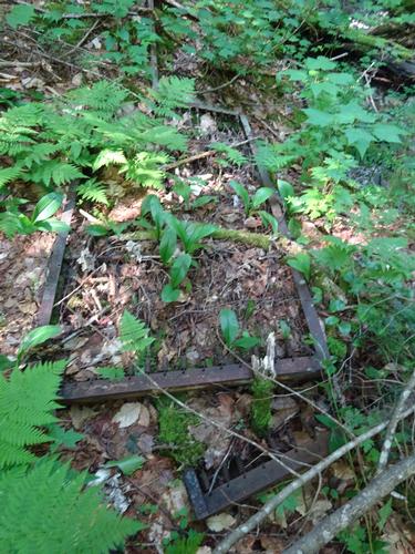
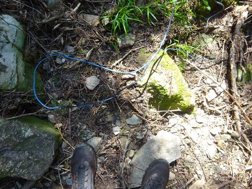
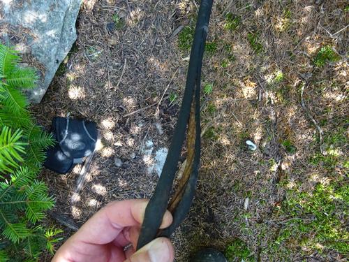
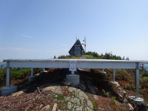
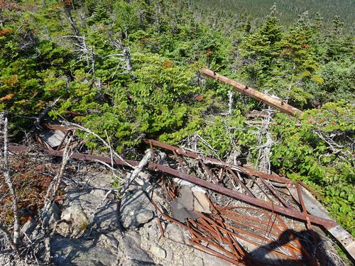
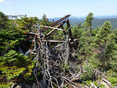
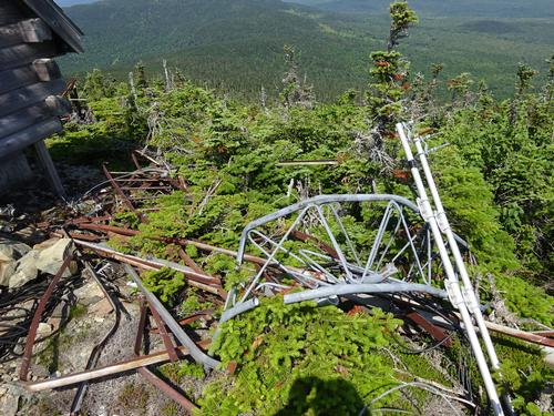
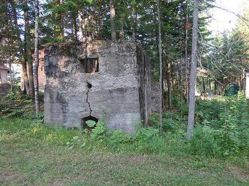
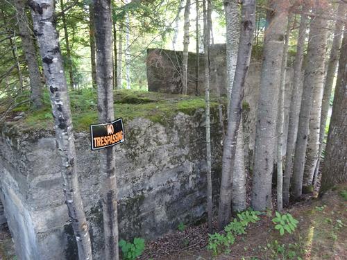
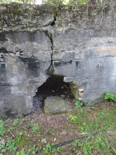
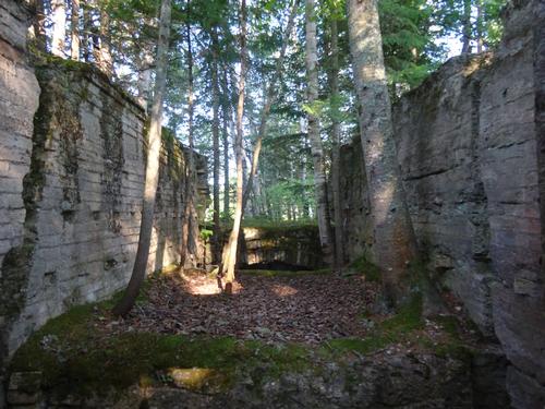
Boundary Bald is a former fire tower mountain. I have some info on the locations of two former fire watchman's camps. The first spot was easy to find, as it was just off the road, but not much there for artifacts. The second spot was further away from the road but I had a general idea where to look. After leaving the road and looking around I figured I probably overshot the location. I could hear a small brook nearby so I went to that. Not long after, I came upon the site of the old fire watchman's camp. The camp burned many years ago. There were several artifacts around including bed frames and pieces of the chimney. I also found the dump for the camp. I spent 35 minutes looking for and exploring around the site of the second fire watchman's camp.
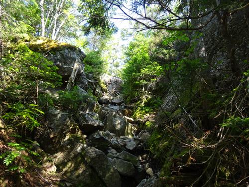
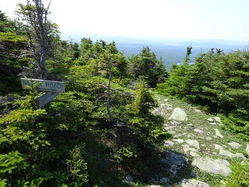
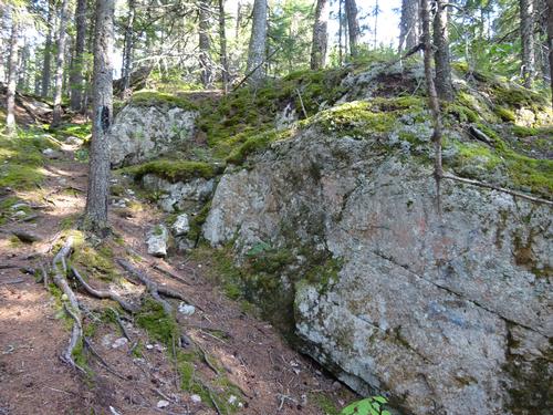
Boundary Bald is not well traveled but the trail was easy to follow. Later on and closer to the top, I did lose the trail as I was drawn to open ledges with views. I retraced my steps and found the trail and continued on. For the most part the trail was dry, but there were 2 very muddy spots. There are also a few steep stretches along the way.
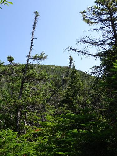
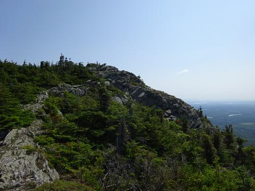
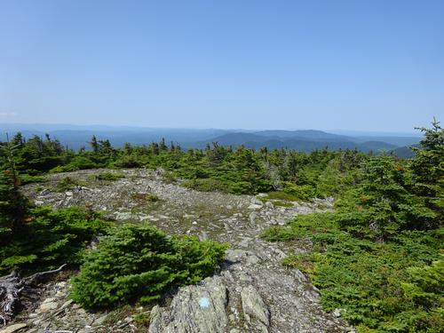
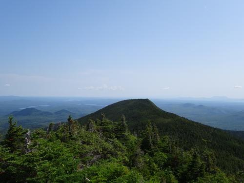
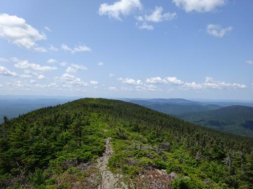
Eventually the trail enters scrub and levels off before reaching the open summit.
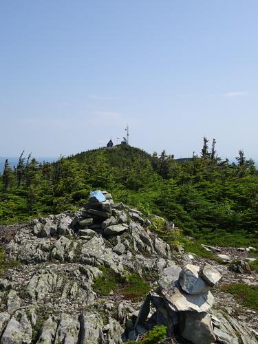
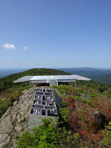
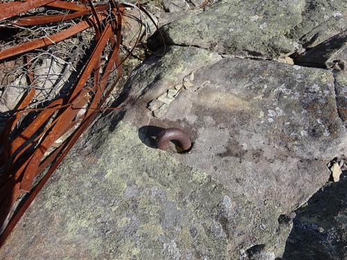
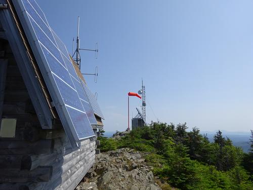
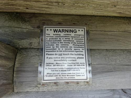
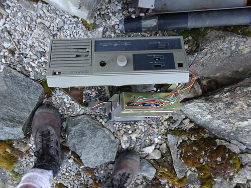
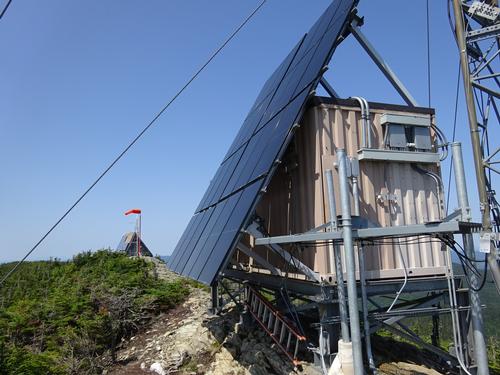
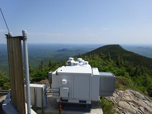
It took me 2 hours 10 minutes to reach the summit from my parking spot. It took me 1 hour 5 minutes to hike the actual trail. I was aware of the two radio facilities, but unaware of the large helicopter pad.
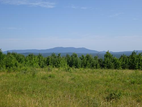
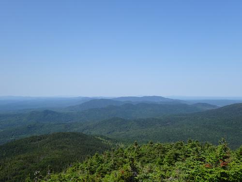
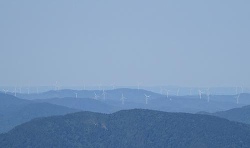
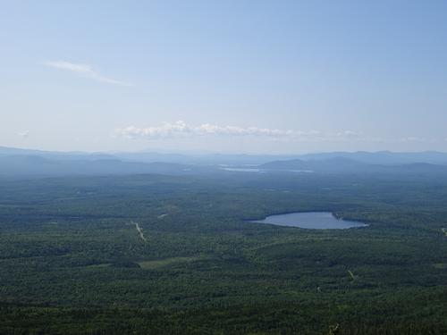
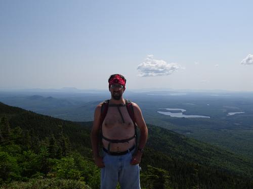
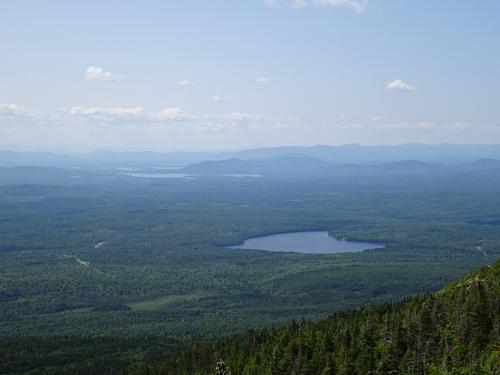
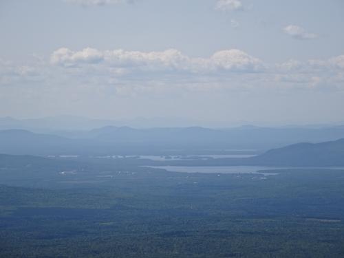
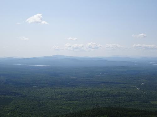
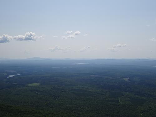
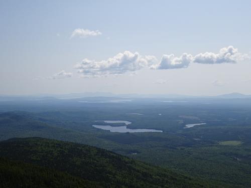
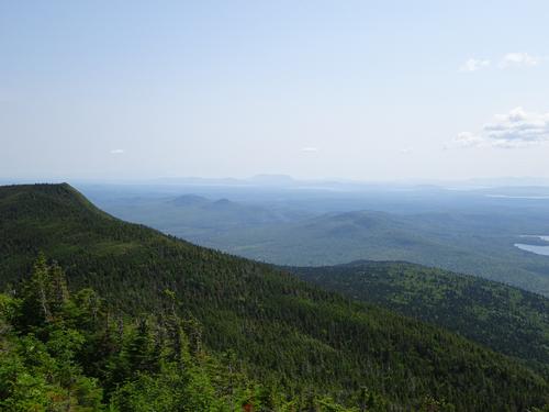
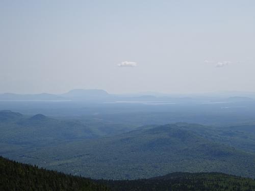
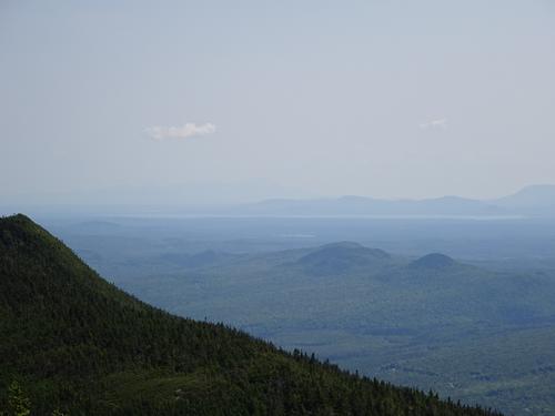
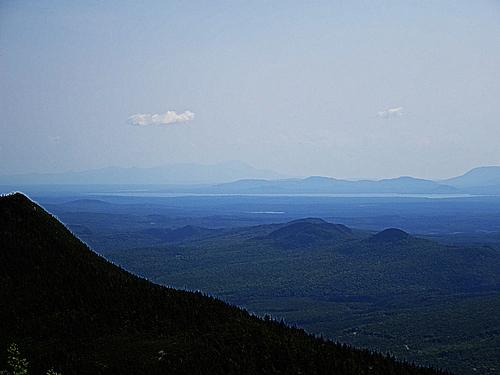
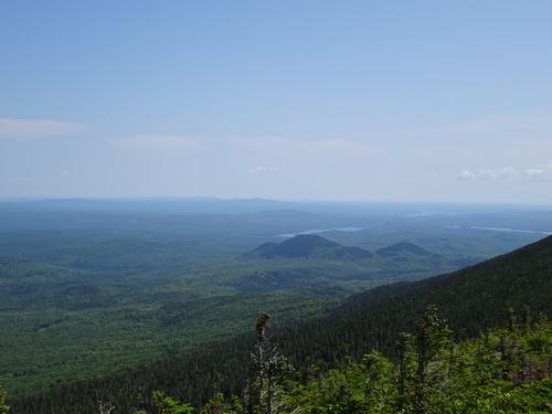
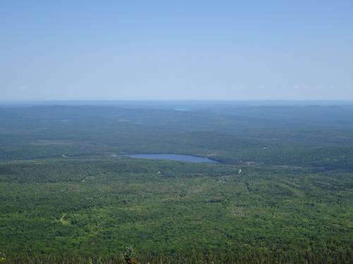
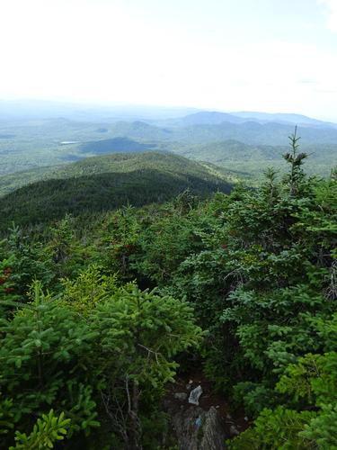
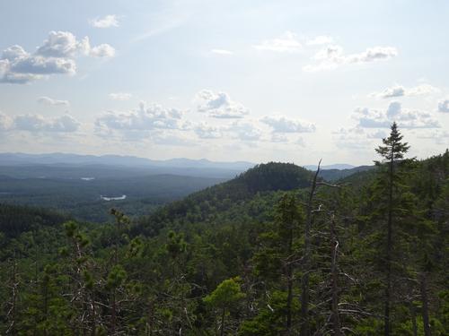
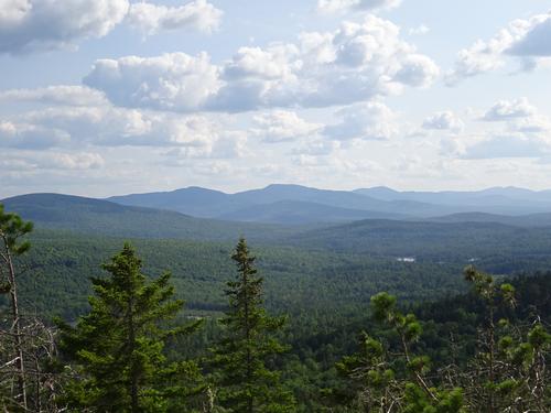
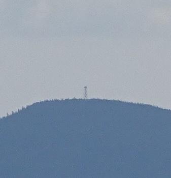
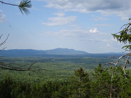
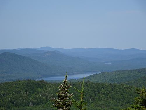
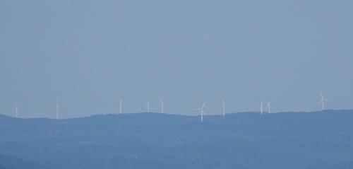
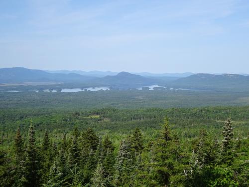
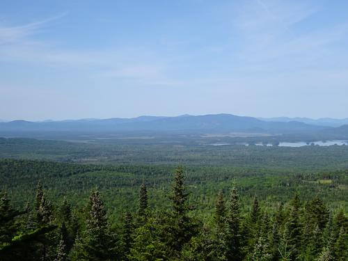
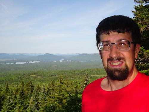
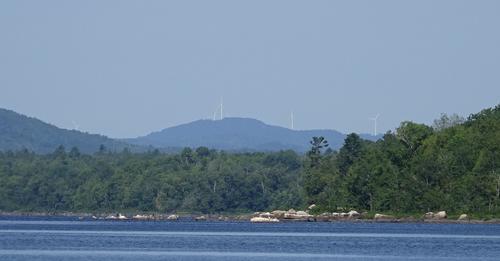
It was a nice sunny day with a little bit of haze, and a slight breeze. Excellent views in all directions from the summit. Katahdin is 62 miles to the east and I could barely see it against the sky. I edited the picture of that so it is a little easier to make it out. Moosehead Lake is clearly visible. To the west in Quebec there are wind turbines.
While I was on the summit a family arrived with their two children and a dog. We talked for a minute but they didn't stick around very long. I stayed on the summit for almost 1 hour.
My hike down the mountain took just over 1 hour. My total time was 4 hours 10 min. The elevation gain was around 1,640 feet. The road was around 1.1 miles and the trail 1.2 miles. My total miles were around 4.6.
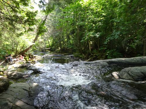
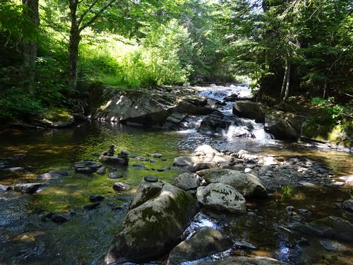
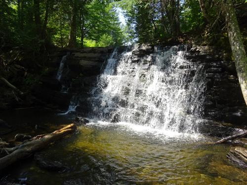
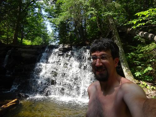
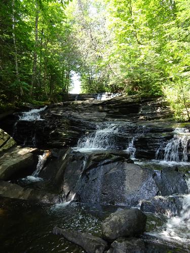
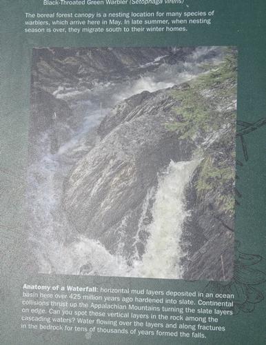
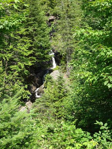
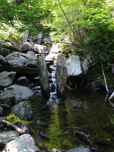
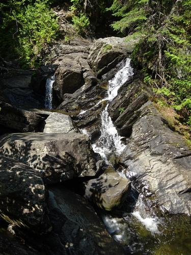
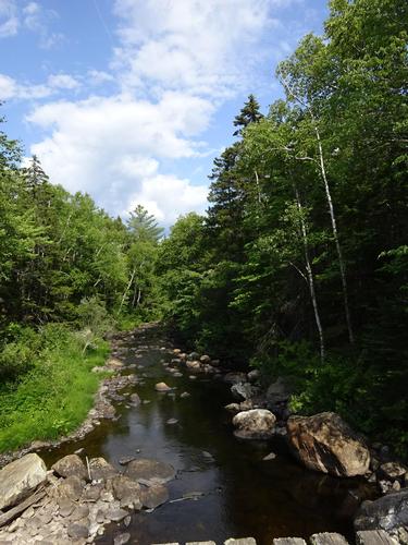
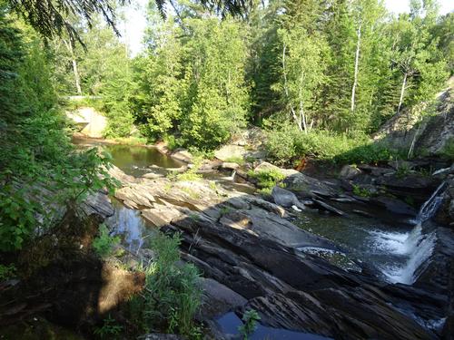
After Boundary Bald I stopped at Heald Stream Falls, which is just off the road that goes to Boundary Bald. The water is very low. I met the same family that was on Boundary Bald at the falls.
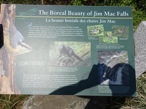
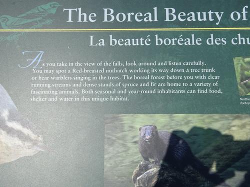
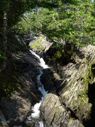
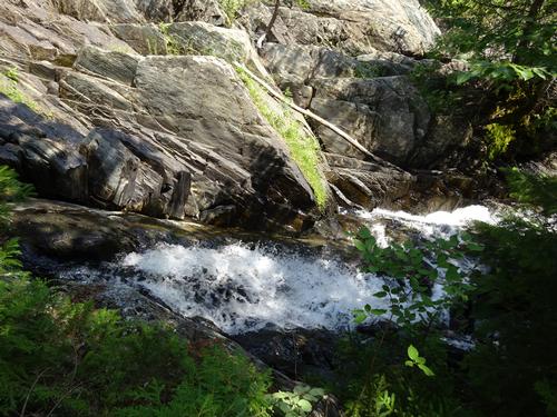
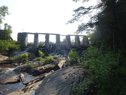
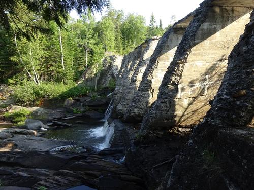
On U.S. Rt. 201, just a short distance from the road to Boundary Bald, is Jim Mac Falls, aka The Falls. These falls are just a short distance from the road and there is a view from picnic area. Again, the water was very low. I went down the trail to the base and also went up along the stream to the top of the falls.
My original plan was to hike Sally Mtn, which was also a former fire tower mountain. This hike would've involved a 1.8-mile walk along the railroad tracks each way. It was almost 3:00 when I got back to Jackman, and the bank clock said it was 82 degrees. I have info that walking along the tracks in the hot sun is not pleasant so I decided not to hike Sally.
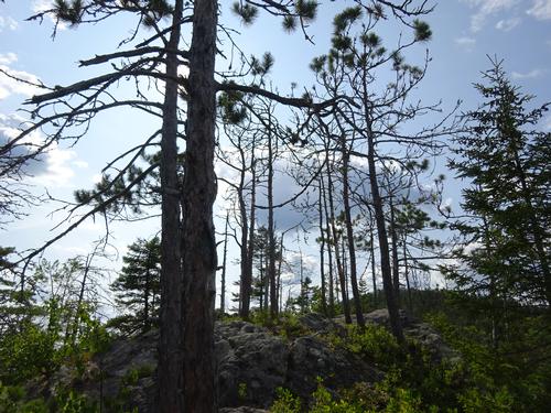
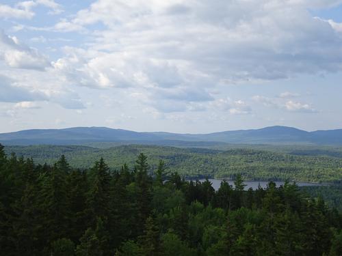
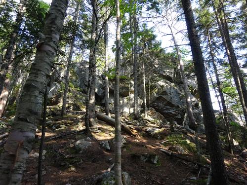
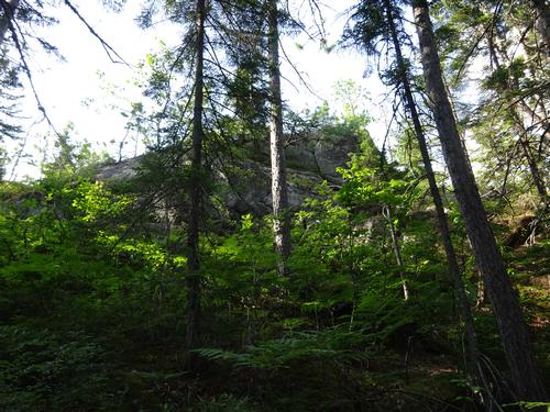
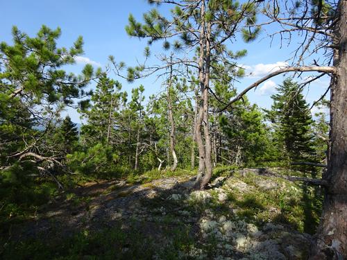
My alternate plan was to hike Burnt Jacket Mtn west of Jackman. The trail up Burnt Jacket is used even less than Boundary Bald. The trail is marked with flagging and faded paint blazes/ax marks. In one spot before the first viewpoint I had to scout for the trail. The info I have on Burnt Jacket sounded like there were several viewpoints with good views. It turns out only one viewpoint had good views, which happened to be the first viewpoint. There were also many red pine trees there. It was around 1 mile to this spot and took 35 minutes to reach it.
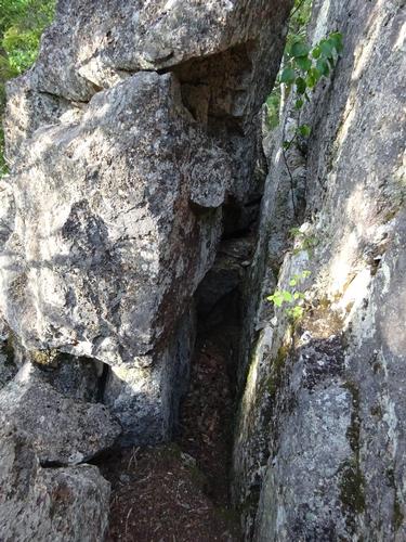
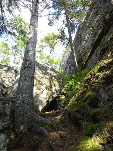
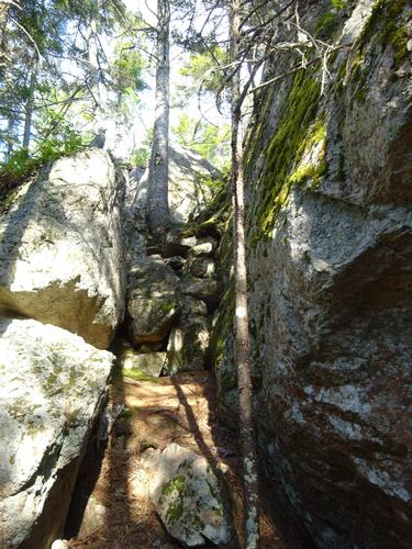
After the first viewpoint the trail drops sharply through a chimney like cleft and then starts going back uphill again. After this spot the trail becomes less and less obvious. There was some flagging that marked the trail but I did have to scout in several areas to find it. Closer to the end it was basically a bushwhack with one spot totally overgrown. I came to a broad spot with a view towards the south, but not as good as the first viewpoint. The elevation at this spot was around 2,119 feet. I did not see any signs of a trail or flagging beyond so I turned around. It took me 1 hour 20 minutes to reach this spot.
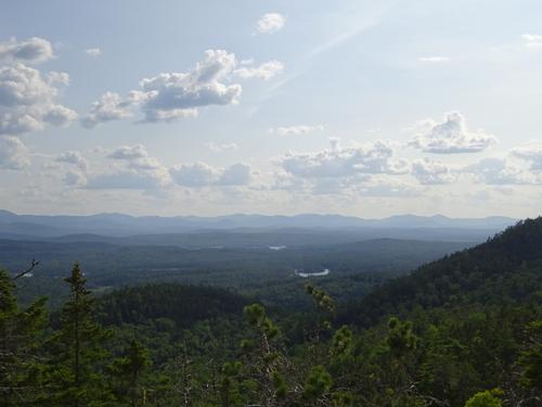
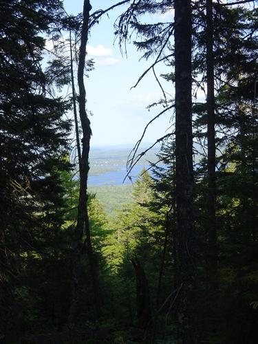
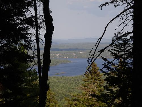
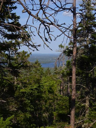
On the way back to the first viewpoint there were some spots with views between the trees to Jackman and Big Wood Pond.
The round trip distance was around 3.5 miles with a total time of 2.5 hours. Estimated elevation gain was 1,030 feet. It was warm in the sun if there was no breeze but almost the entire trail was under the cover of trees.
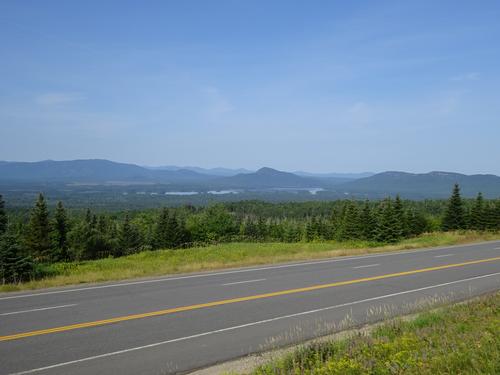
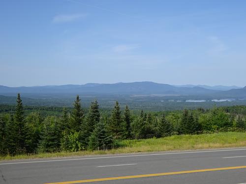
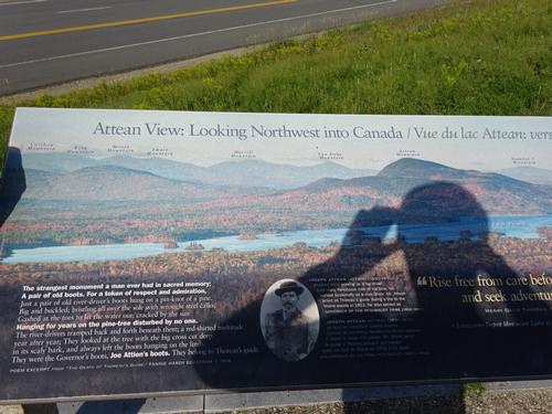
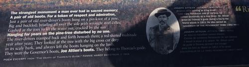
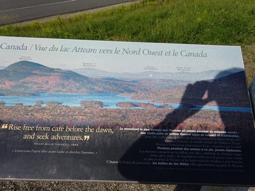
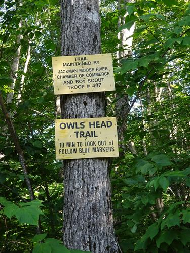
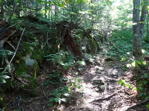
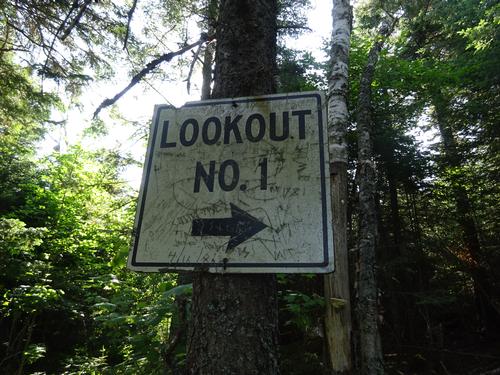
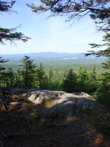
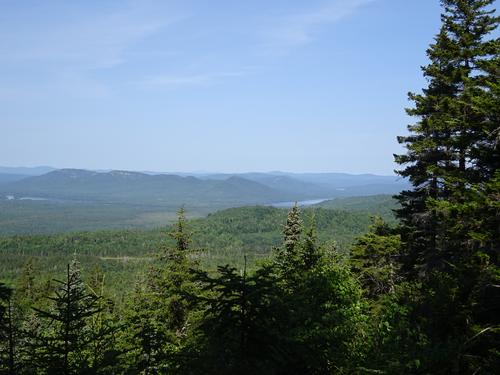
On my last day I drove to the Attean View south of town and hiked up the Owls Head Trail to the lookout. If there is more than one lookout I could not find it. A trail went beyond lookout number one but petered out. The trail up is around 1/2 mile and took 10 minutes. Elevation gain was maybe 280 feet.
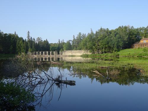
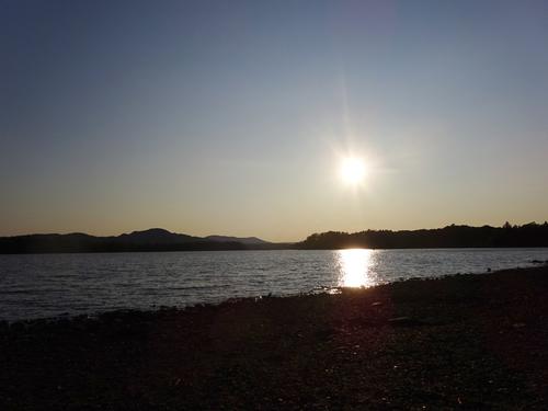
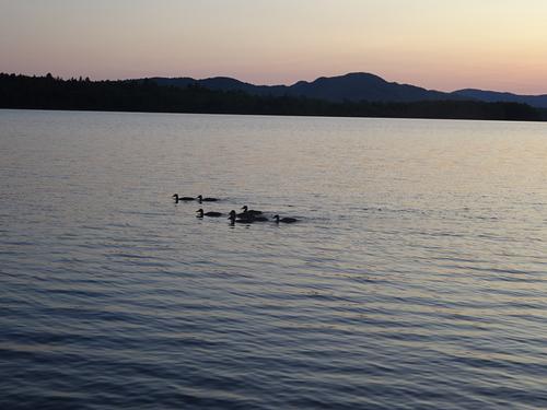
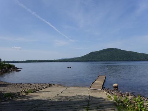
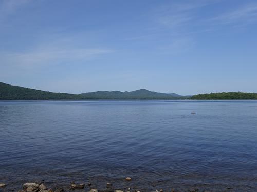
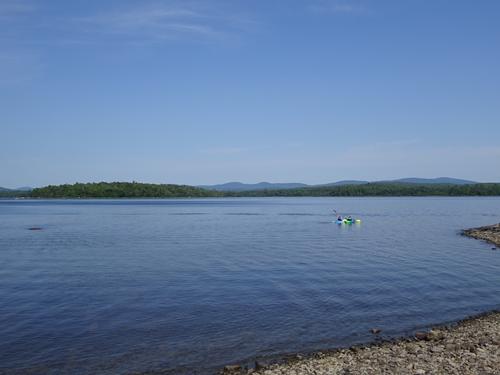
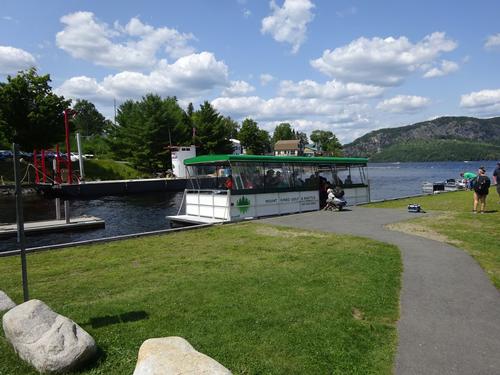
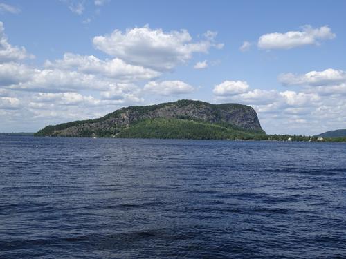
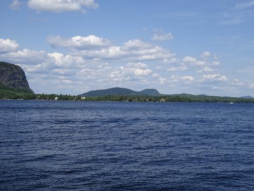
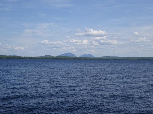
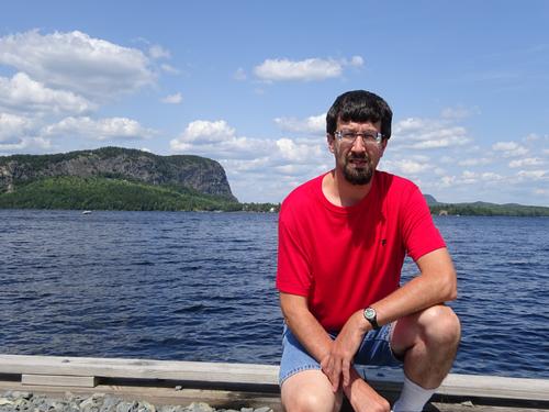
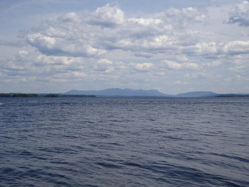
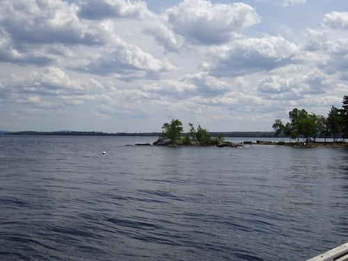
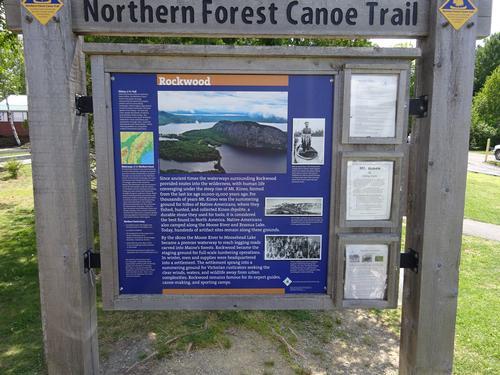
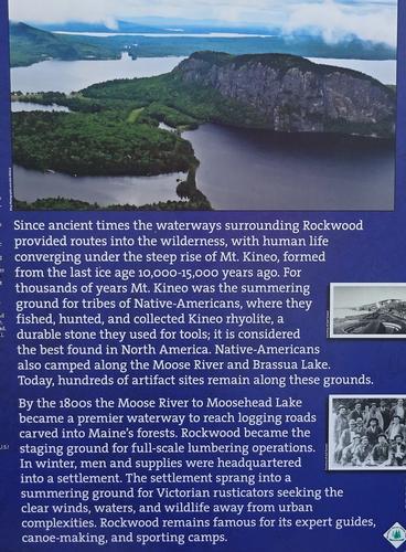
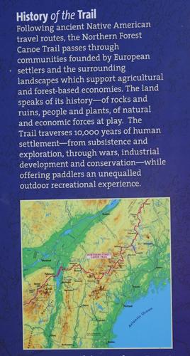
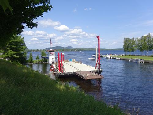
On my drive home I stopped in Rockwood on Moosehead Lake and took some pictures.
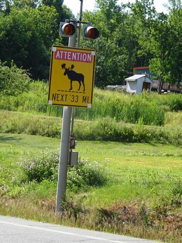
Even though Jackman is famous for moose, I did not see any.
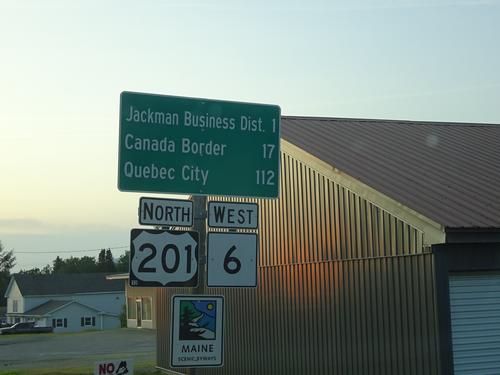
It appears the area is popular with ATV enthusiasts as there were many around. It looks like they are allowed to drive on the streets in town, including Rt. 201.
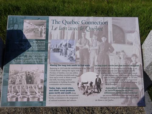
A lot of vehicles with Quebec plates in the area, but many of them are probably just passing through on the way to the coast.
Jackman is 245 miles away from me and takes 5 hours.
Even though I hiked alone, I did get a change to meet two GO members on may way to Jackman. Andy invited me to his place for lunch and his friend Nate who is also a GO member was visiting. Andy provided me with lunch and I stayed to visit for a couple of hours before continuing on to Jackman. Andy wants to hike the Traveler Loop in Baxter and hopefully I can hike that with him.
Event photos (207)


Reactions
Log in to react to this trip report.
About this event
*** Clarification ***
The 8AM meeting time is meant for when I want to leave the campground on Friday morning to drive to the trailhead for Boundary Bald.
I plan on arriving in Jackman around 5PM Thursday.
*****
I'm going to the Jackman area to hike. Jackman is fairly remote with no other sizeable towns around it. Some people would not even consider Jackman sizeable. LOL But it is for that area. My main goal is Boundary Bald Mt.
I plan on camping at Moose River Campground from Thursday night to Saturday morning. Anyone wanting to do one or both of the hikes could join me at the campground, stay at another location, or come for one day. I have room in my tent for one person and you'd need to bring your own sleeping gear.
My hikes will be based on the weather, which is looking good. Damn, I hope I didn't jinx it! LOL
Here is some info on the mountains:
1. Boundary Bald Mt is located north of Jackman. This is top priority. Elevation is 3,640 ft. Boundary Bald is on the New England 50 Finest list.
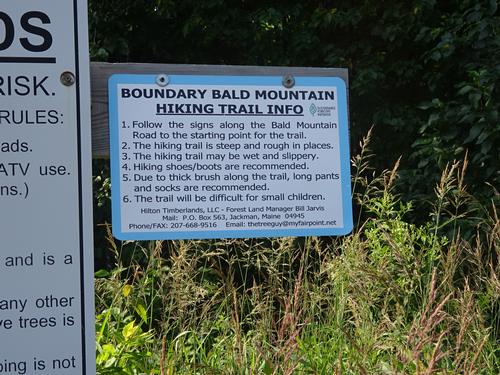
The drive to the trailhead is on woods roads of unknown condition, but should be passable with a vehicle with good clearance underneath. The last 1.4 miles to the trailhead I do believe is only passable by 4wd.
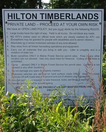
* The drive to the trailhead is on private woods roads, and is "pass at your own risk". Logging trucks have the right away, and you MUST let them by. Land/road owners, truckers, logging companies/contractors etc. are not liable if there is an accident involving them.
Once outside of Jackman cell phone service will be spotty to non-existent.
Phones should work on mountain summits.
I'll assume the last 1.4 miles of the road will be a walk. After the road walk it is another 1.2 miles on the trail up the mountain. Total going up is 2.6 miles.
Near the end, the trail follows the ridge of the mountain with scrub growth to the summit, where there are views in all directions. The summit is not 100% wild as there are 2 radio facilities located there.
The elevation gain, including road walk, is around 1,790 ft. Plan on 4 hours for the total hike. I will consider this a moderate to strenuous hike.
I'd also like to scout for the remains of two old fire watchman's camps near where the trail leaves the road.
2. Sally Mountain is located southwest of Jackman a short distance out of town.
Elevation is 2,221 feet.
The first 1.8 miles of this hike follows the railroad tracks, unless someone has a boat or canoe. The trail from the tracks to the summit is 1.2 miles. Total going up is 3 miles.
There used to be a fire tower here but it burned years ago. There are excellent views from the open ledges at the summit.
The elevation gain is around 1,035 feet. The hike along the tracks is fairly level. Plan on 3.5 hours for this hike. I will consider this a moderate hike.
When we return to the tracks we'll continue to a campsite on the shore of Attean Pond and then head back to the trailhead. There is a beach at the pond for anyone who wants to take a dip before going back to the trailhead.
---------------------------------------------------------
I do apologize for short notice. The weather looks good and I'm praying it stays that way. I know I might be asking for a lot. LOL
Anyone wanting to join me for the entire time or to just do 1 of the hikes, sign up and we can share phone numbers. I will not have access to the Internet on my trip only phone calls and text.
My plan is to hike Boundary Bald on Friday and either hike Sally Mtn after, or hike Sally on Sat. morning.
Besides Moose River Campground there are several motels in Jackman.
Who came along (1)
 GUEST MEMBER
Comments
No comments yet.
Log in to join the conversation.