
Mt. Jefferson via Castle Ravine
Mt. Washington may get the glory, but the Mt. Jefferson Castle Trail has more than its fair share of guts!
The trip report
Written by Gandalf
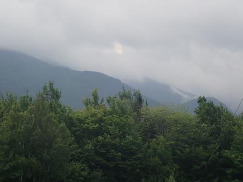
Our initial plan was to ascend via Castle Ravine but given the weather forecast of thunderstorms, our pace would be faster using the Castle Trail. The Castle Ravine has at least 16 water crossings that would have slowed us down. As expected, the summit was socked in the clouds when we arrived.
10 miles round trip
8-9 hours
Difficulty: Pack the Ibuprofen and Tylenol
Mt. Washington may get the glory, but the Mt. Jefferson Castle Trail has more than its fair share of guts. With 4,200 feet of elevation gain over 5.0 miles, and a tip-top height of 5,716 feet, the Castle Trail packs a wallop as challenging as anything in the New Hampshire Presidential Range has to offer!
Is this a “technical” hike? The word ‘technical’ conjuring images in my mind’s eye of climbing ropes and harnesses. What exactly is a technical hike, anyway?
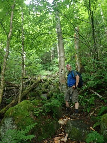
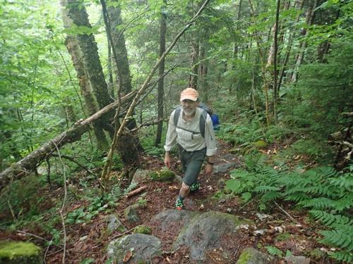
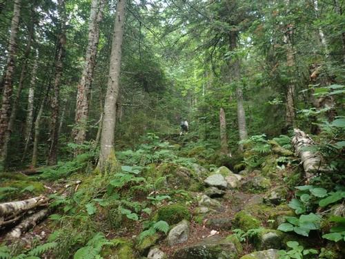
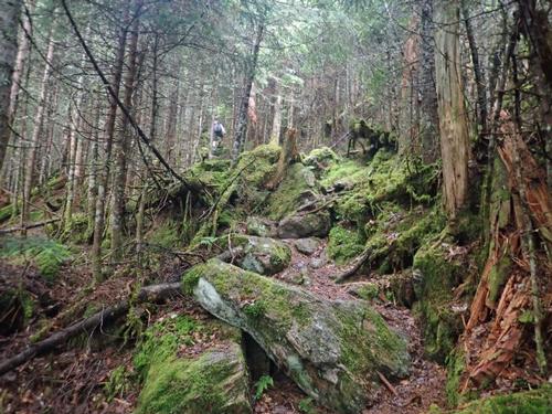
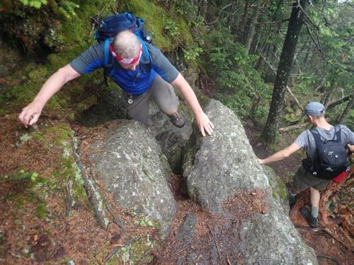
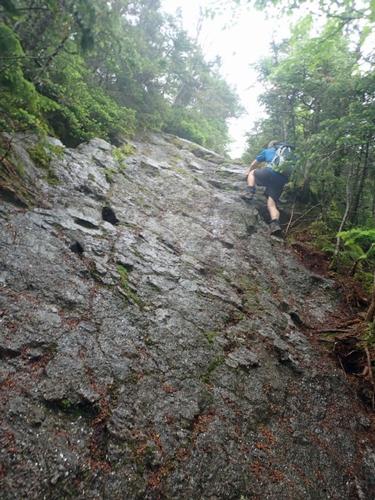
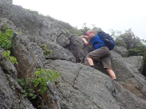
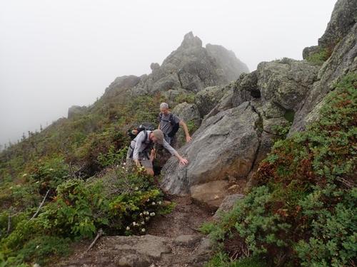
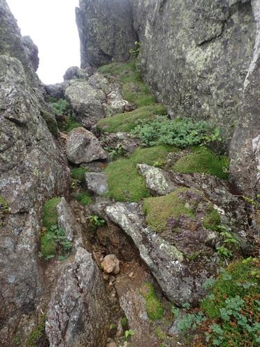
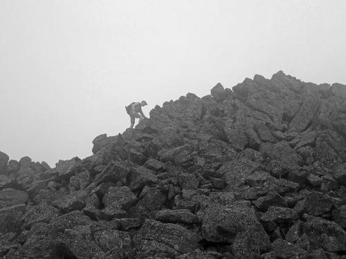
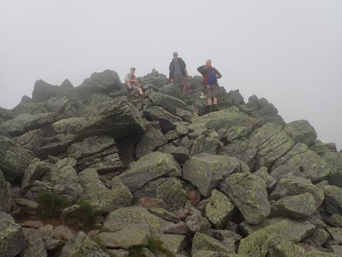
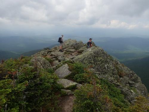
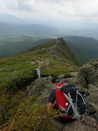
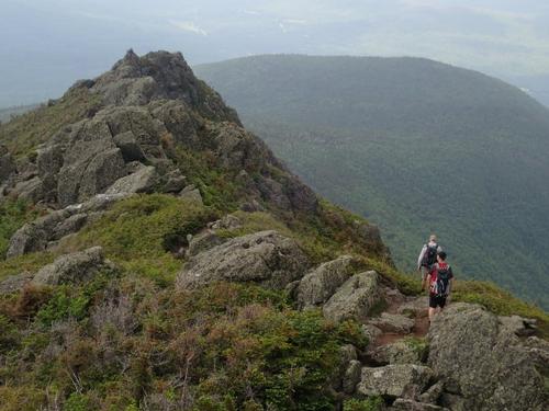
Perhaps it’s a hike requiring hands as much as feet. In this case there are three steep rock embankments where all four appendages are needed, as well as numerous little pull-ups. Or maybe it’s a trail where careful stepping is warranted. In both cases, under that definition, the Castle Trail is technical. The top portion above the castellated ridge is a full-on rock scramble. Below treeline, rocks and exposed roots are endlessly entwined. Unlike other White Mountain trails where rocks have been carefully rearranged into happy staircases, the Randolph Mountain Club has taken great care to leave the trail composition in its natural state. In other words, the Castle Trail is difficult for difficulty’s sake. And deservedly so.
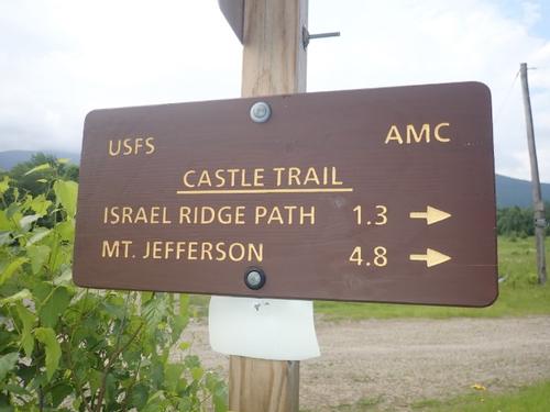
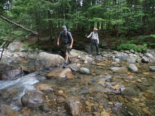
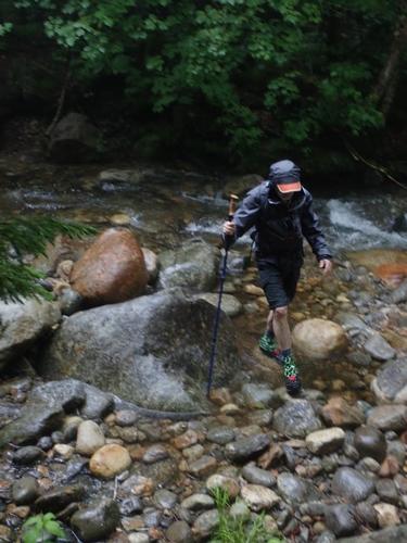
For a difficult, or “technical” hike, the Castle Trail provides plenty of warm up for the legs. The lone obstacle is the Israel River crossing and its choose-your-own-adventure selection of rock hops. Nothing stands out as the obvious route - well, that was our success rate...until our return...more of that later.
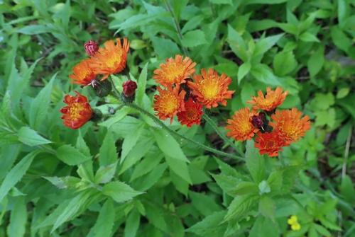
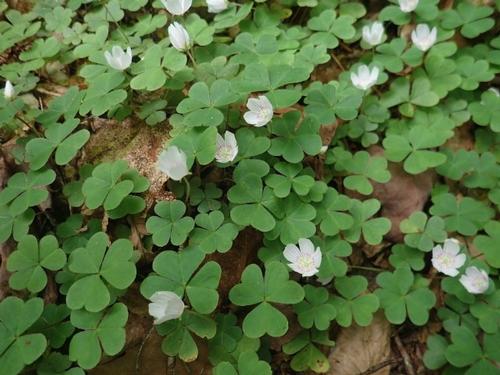
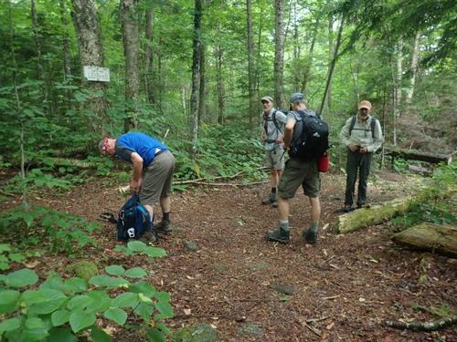
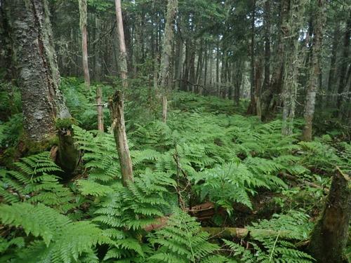
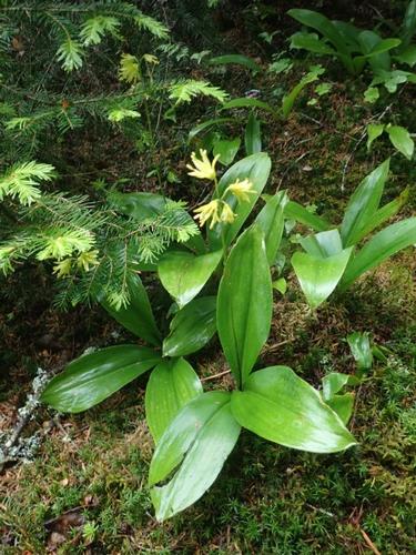
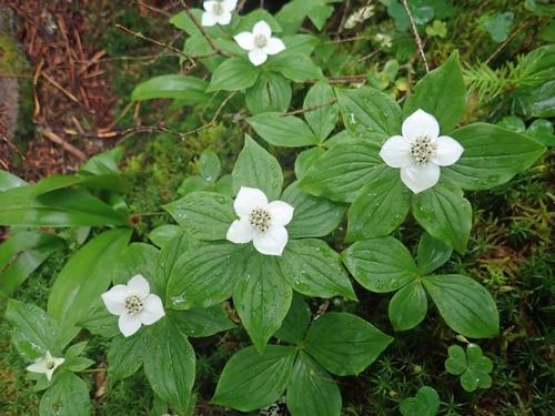
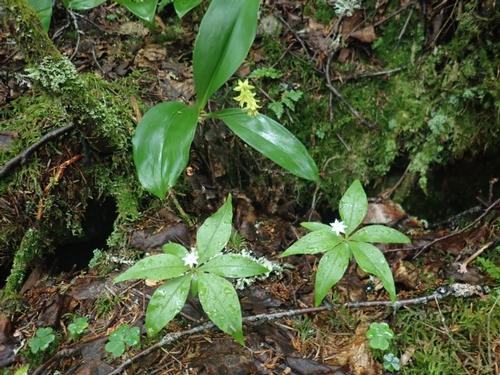
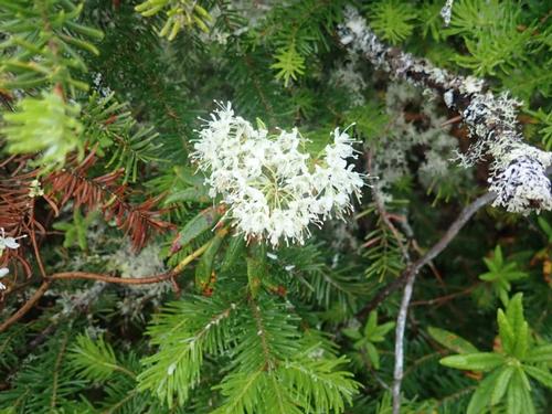
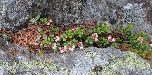
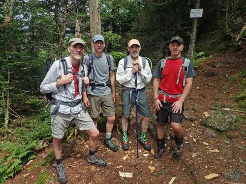
The first 1.3 miles is an easy stroll through the woods with little trail debris or elevation gain. During this stretch, we enjoyed a number of wildflowers including Devil’s Paintbrush and Wood Sorrel.
What this warm-up stretch of trail really means is that the 4,000-plus feet of elevation gain occurs primarily over 3.5 miles. Fun. No, really, it is!!!
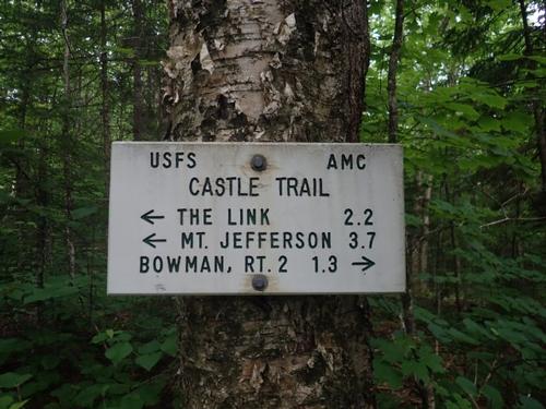
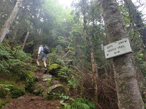
The climb begins after the Israel Ridge Path splits off and the Castle Trail ascends Mt. Bowman. From here the next 1.2 miles of trail transforms into a motley collection of rocks and roots delivering consistent elevation gain. There’s a brief reprieve where the trail levels off on the wooded ridge connecting Mt. Bowman to the Castellated Ridge. The ascent returns gradually before becoming steep again for a short stint prior to the intersection with The Link.
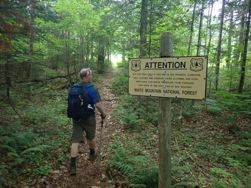
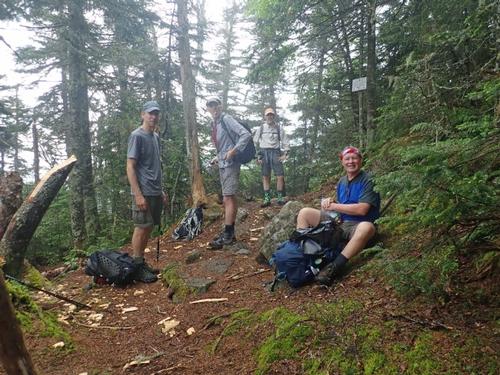
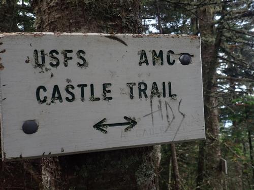
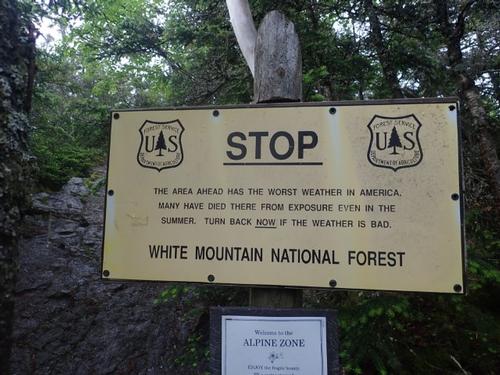
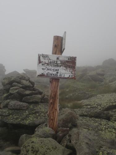
A good rule of thumb on the Castle Trail is that intersections also mark points of increased difficulty, and The Link junction is no exception. The Link enters stage right (and left) at a little above 4,000 feet with 1,700 left to gain over the final mile and a half. So, yeah, it gets steep. Immediately. The Link crossover is also “only” .3 of mile before the first Castle. The parenthesis around “only” are to denote sarcasm. This stretch is loaded with three steep rock embankments and the White Mountain National Forest sign informing hikers they’ll die in bad weather.
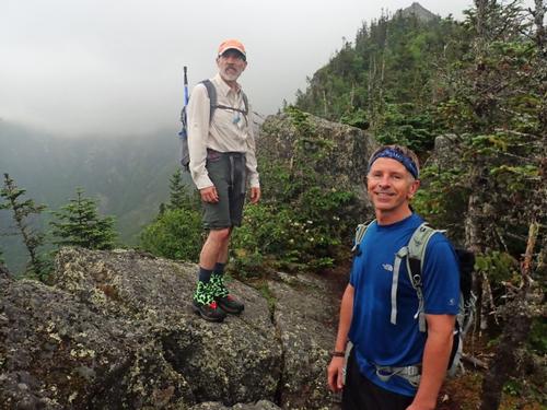
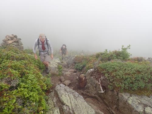
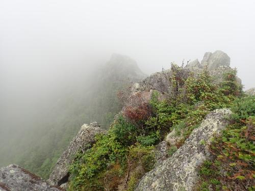
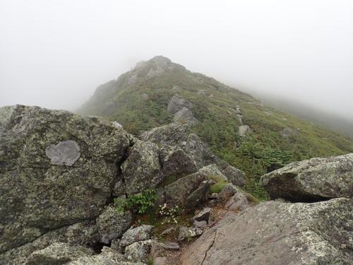
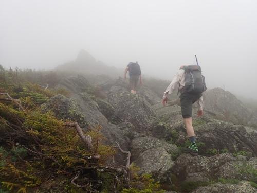
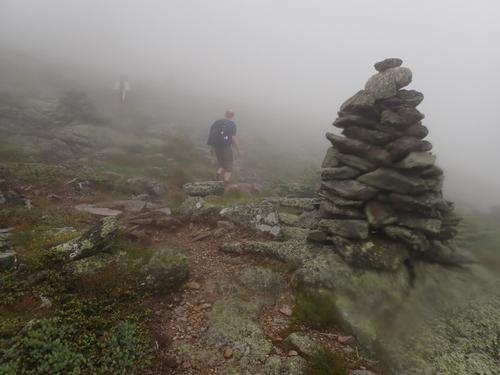
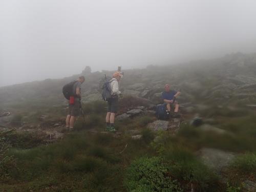
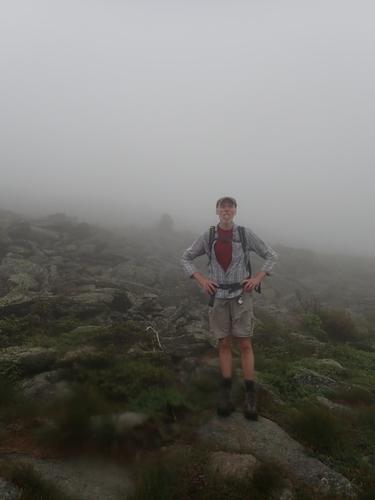
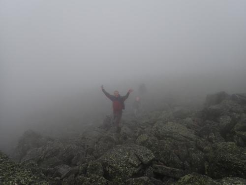
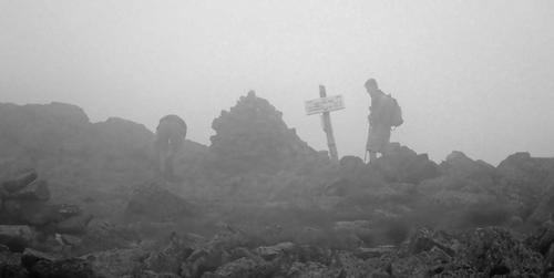
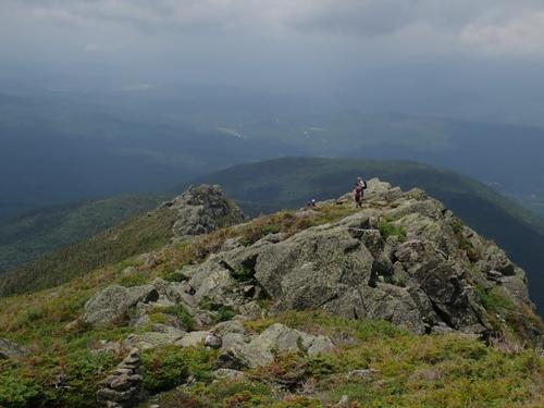
After emerging from the treeline onto an open ridge, we also entered the clouds with the occasional rumble of thunder in the background. The final of these rock embankments ascends the first Castle. There are a few rocky up and downs in the scruff between the Castles before the trail emerges onto the meat of Mt. Jefferson and the seemingly endless rock scramble. Later than sooner the trail reaches the Cornice crossing where a marker alleges that it’s a half mile to the Jefferson summit. This last segment offers more of the same in the rock scramble department, often following cairns white-capped with quartz.
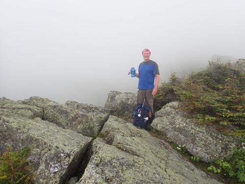
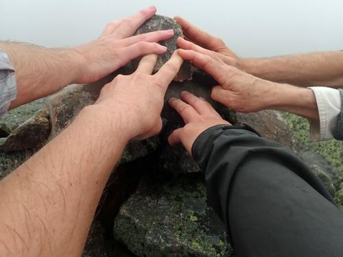
Once onto the Jefferson summit, we were the only ones there. We were white-washed in clouds. A few minutes later, a group arrived. We noticed one of the guys starting at his phone. He shared with us that Doppler radar had a short band of thunderstorms north of us and heading down our way. We quickly wrapped up lunch and made our descent. We really did not want to encounter a lightning storm above treeline!
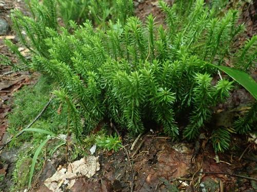
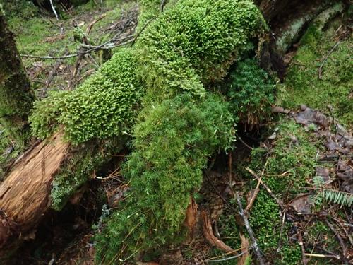
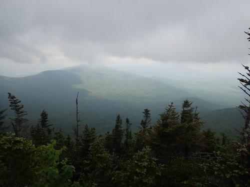
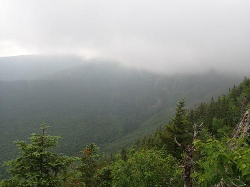
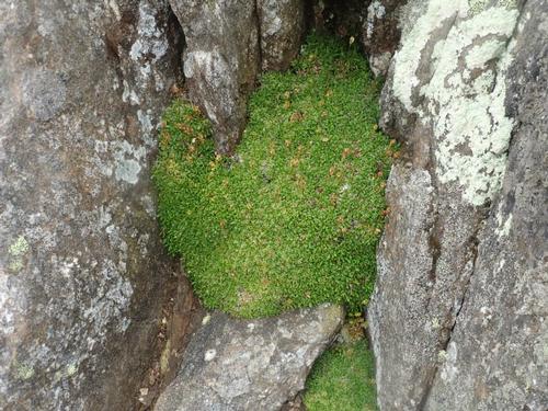
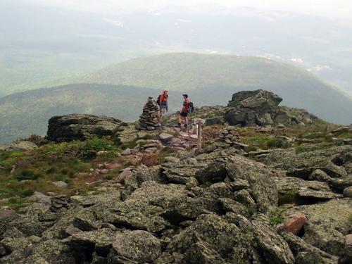
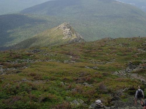
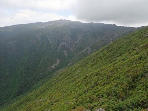
To our surprise and pleasure, the clouds dispersed on our descent providing us sunshine and extended views. We could see the spiny Castles in the sun. From the Castles, we enjoyed views of Mt. Adams and Castle Ravine. We crossed the intersection of The Link and once again enjoyed the flat section in the mossy forest before beginning our steep descent.
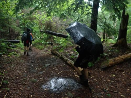
The skies then began to darken. The breeze picked up. The rumbling in the distance became louder. It got so dark we almost needed flashlights to pull out our rain gear. Then the skies opened up as if buckets of water were pouring over us. Thankfully we were under the tree canopy. It was slippery with the wet roots and rocks. A few of us slipped. Once the trail began to flatten, our umbrellas popped open. Ahhh! Much better!!!
The Israel River had swollen once we reached it due to the heavy rain. The stepping stones we used to cross at the start were submerged in water. Our feet were already soaked. We just plopped our feet right into the river and crossed. We did not have far to go before reaching our vehicles.
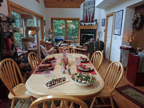
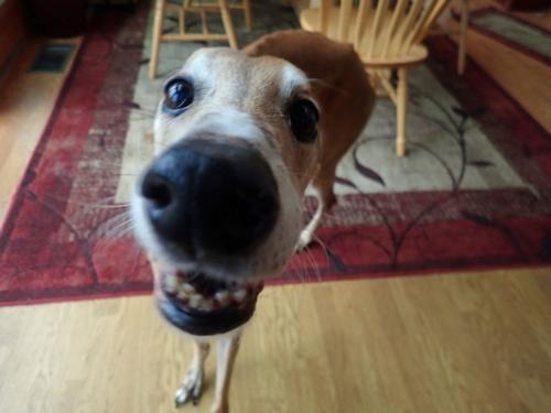
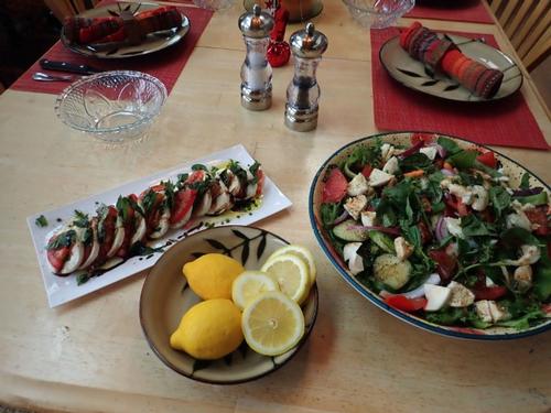
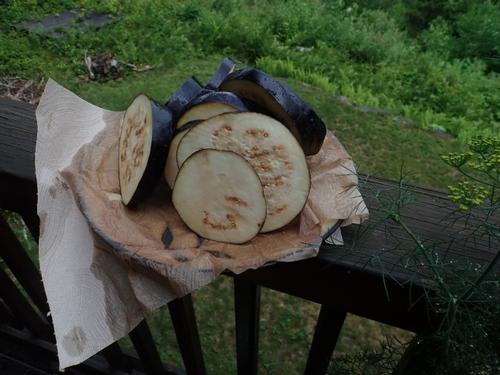
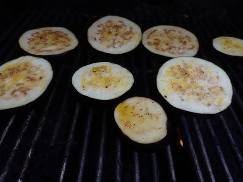
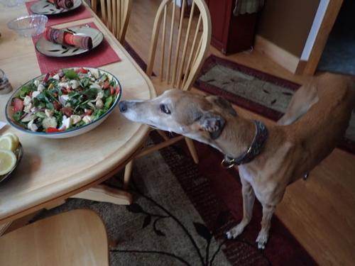
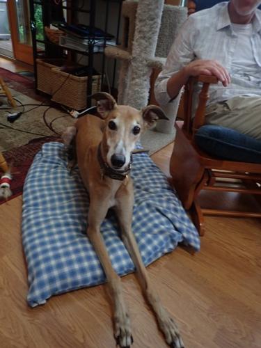
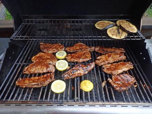
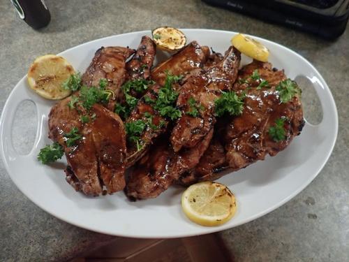
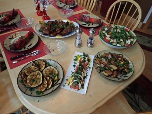
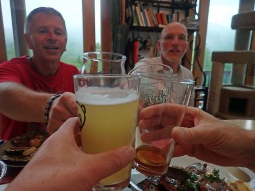
Everyone returned back to the Mad River Lodge. Dave B. took a shower and then headed home. Rob and Dave joined Jon and I for dinner. Oh…and Soleil…Rob’s puppy…how could I forget her!!! While Jon was cooking up another of his delicious meals, the rest of chatted about upcoming vacations and adventures. As you can tell from the pictures we had a Caprice Salad, grilled Eggplant with Basil, and marinated pork ribs. Yummy!!!
Report by Mike Boisvert
Pictures by Jon Normand and Mike Boisvert
Event photos (76)
Reactions
Log in to react to this trip report.
About this event
Join us for a hike that includes it all. We will be hiking up to Mt Jefferson (5,712 feet) on the less traveled Castle Ravine trail! Time permitting when we return back to the Mad River Lodge, we can cool off in the Mad River followed by a BBQ.
The round trip will be 10.2 miles and a total elevation gain of 4,240 feet. For strong and experienced hikers, the little-used ascent through Castle Ravine is one of the wildest and most beautiful trips in the Presidentials! We will be hiking next to gushing rivers and also cross them at 16 times. Depending on water levels, this can prove challenging and refreshing!.
The section up the headwall is a difficult scramble where we will be faced with steep sections (isn't for the faint of heart). The route is on the Terrifying 25 list so we will be hitting 2 for one on this hike. At the top we will be rewarded with panoramic views across the northern section of the presidential range and beyond. Using the Castle Trail for our return, this is a spectacular loop!
Round trip distance: 10.2 miles
Vertical feet: 4250
Approximate time: 8-9 hours
Difficulty: Very Strenuous
We will ascend from the trailhead at Bowman following the Castle and Israel Ridge trails reaching the Castle Ravine trail at 1.7 miles. We then start crossing the Israel River and Castle Brook multiple times. At 3.2 miles we reach the Link as we continue gradually up the valley through wild, lush, fir forest, After the Link leaves right we'll start to clamber around boulders where we begin a steep ascent up the headwall on a narrow, rough, winding path. At 4.5 miles we'll reach Randalph Path and the ridge reaching the summit at 5.2 miles. We’ll then descend down the Castle Trail's Castellated Ridge, with some tough scrambling down the Castles.
What to wear/bring: Wear clothing suitable for the hike in layers...no cotton or blue jeans. Have a rain jacket in the event of inclement weather. Bring along plenty of water (at least 2 liters), lunch, snacks and anything else you may require for a day hike. Contact us if you have any questions.
Afterwards: Everyone is welcome to join us back at our house in Waterville Valley to relax on our deck [BYOB and bring snacks] and a BBQ! We ask $10 per person to help pay for our food costs. Please let us know you will join us for the BBQ so we have enough food. Showers are available so bring a change of clothing to make your visit with us more comfortable.
Lodging Option: Bunk beds are available at our house [with Wi Fi] near Waterville Valley, NH for Friday and/or Saturday nights. It's $25 for Friday night, $35 for Saturday that includes dinner or $60 for the weekend. Coffee/bagels each morning and linen/blankets/towels are provided. Space is limited so email ASAP to reserve a bunk!
Who came along (4)
 SUSTAINING
Comments
No comments yet.
Log in to join the conversation.