
The trip report
Written by a former member
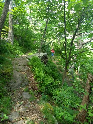
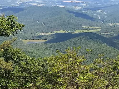
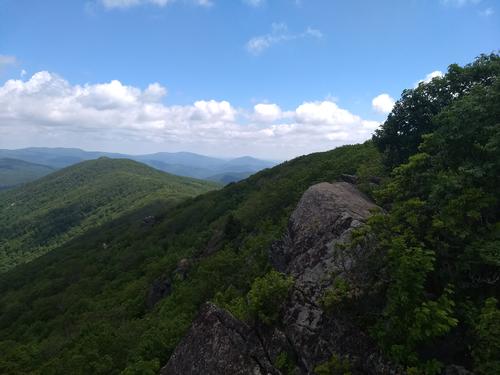
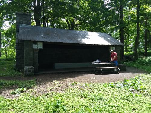
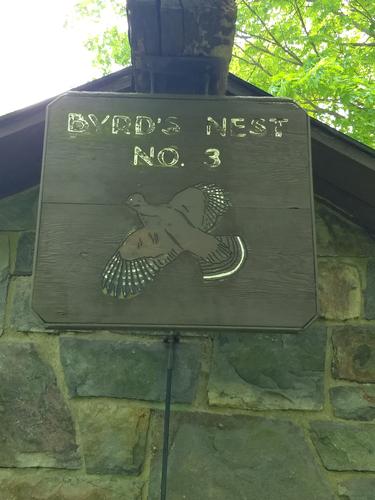
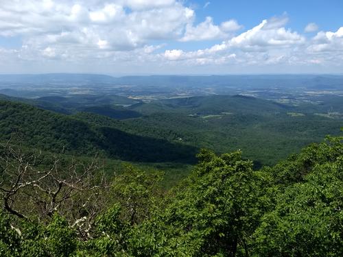
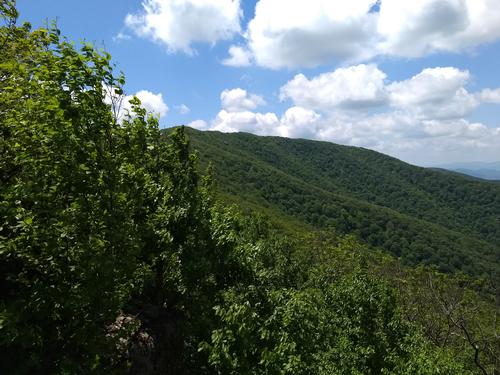
We headed to the Jewell Hollow Overlook parking lot and parked in the rear by the stone wall and easily found the start of the trail as the guidebook stated. We hike southward on the northbound AT for a short distance before changing direction and actually going north on the northbound AT trail. The trail came to a completely open area (where sappling trees have been cut down repeatedly). The open area moved into wooded trails and we slowly moved up the AT trail and came to our first of many fantastic boulder vistas, which require sure footing in the blustery winds we were having that day, lest you fall 50' to the trees below. At the first vista we could see Mary's Rock about 1-1/2 miles away as the crow flies. We resumed our hike up and took in the occasional visitas which were nicely spaced for water breaks and soaking up the sun and views. We stopped Byrd's Nest Shelter 3, down in a little hollow. We resumed our hike until we arrived at Mary's Rock, which provided panoramic views of the Shenandoah mountains, the towns and lakes below in the valleys, as well as Skykline drive and Highway 211 coming up from Sperryville, VA crossing through Thorton Gap entrance to Skyline Drive and Shenandoah NP.
We had lunch at Mary's Rock and headed back, stopping at the same places we had on the way up and met quite a few AT Hikers who had to endure the thunderstorms the afternoon before which we had fortunately missed touring the area looking at other campgrounds for future camping trips.
Event photos (8)
Reactions
Log in to react to this trip report.
About this event
This is a great, easy to moderately difficult hike that traverses the best part of the Appalachian Trail with many expansive views of Shenandoah and the valley below. The hike will takes us over the Pinnacle on our way to Marys Rock.
Leave from the back of the overlook parking area and hike 50ft to get to the AT. Go North on the AT. At Mile 2 we’ll pass Byrds Nest Shelter #3. We’ll continue on the service road towards Skyline Drive then veer left staying on the AT. We’ll pass the Meadow Spring Trail at mile 2.8 and climb up to Marys Rock via the Marys Rock Spur Trail at mile 3.3
Total time will be about 4 ½ to 5 ½ hours and 6.8 miles
Bring waterproof hiking boots, bug spray, water, lunch, sweat rag, and snacks. Since this is the Appalachian Mountains, bring a jacket and poncho (or waterproof jacket) for the occasional summer shower.
Who came along (0)
No sign-up roster was recorded for this event.
Comments
No comments yet.
Log in to join the conversation.