
Ocean Path snowshoe hike - Acadia
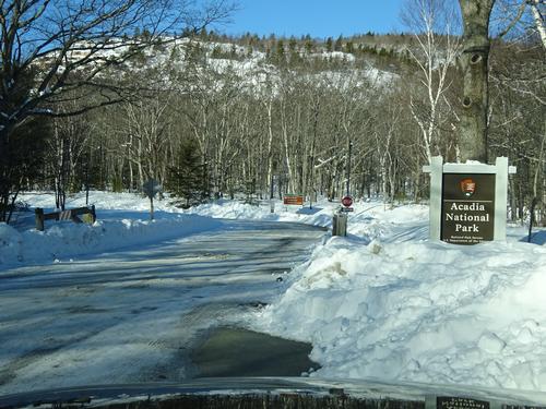
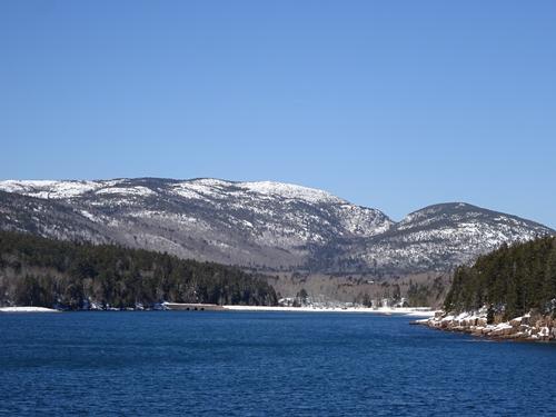
Perfect winter day for a hike in Acadia National Park, plus a stop at Jordan Pond.
The trip report
Written by BillyB1976
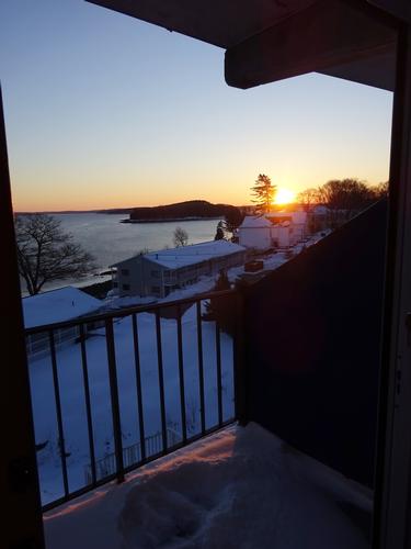
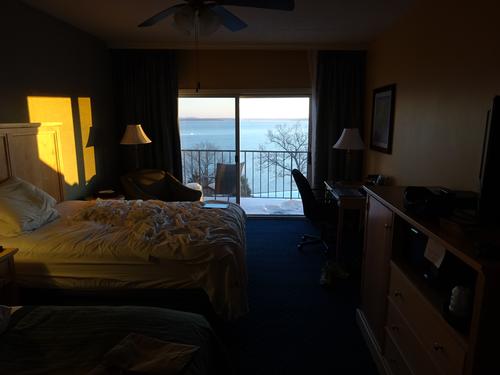
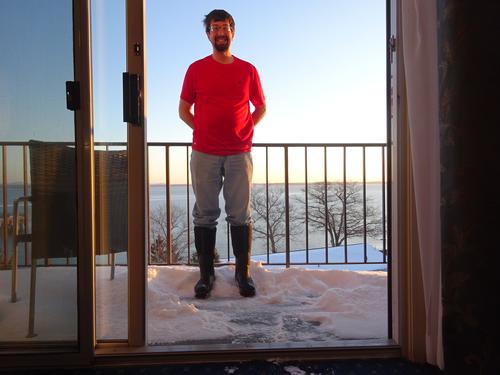
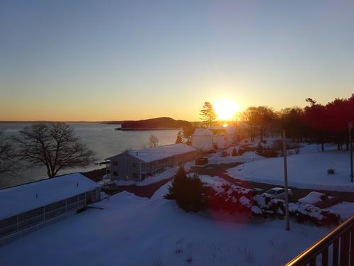
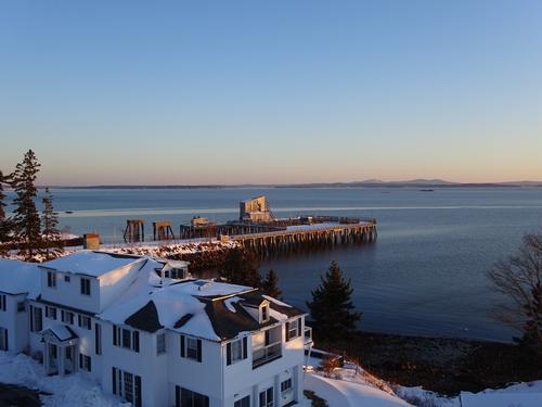
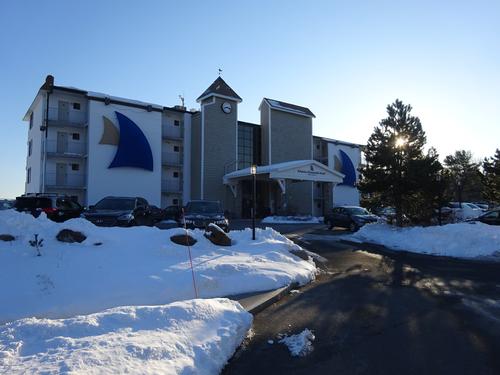
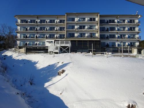
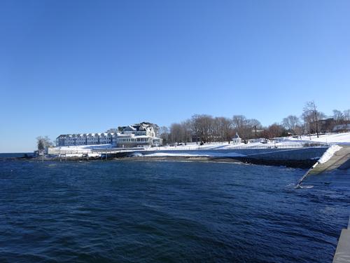
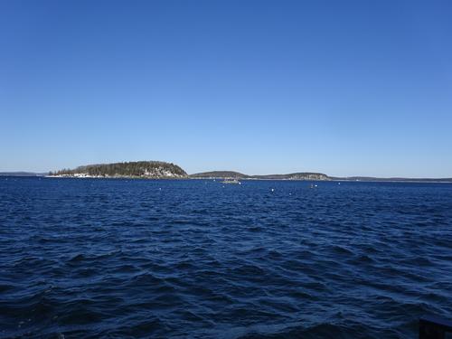
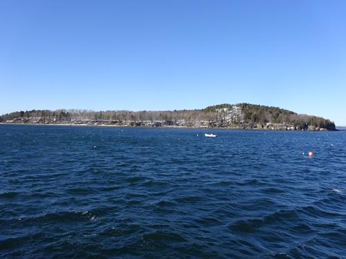
I've never been to Acadia in winter, and decided it was time to go. Since it is 4-hour drive, I spent the night in hotel. I stayed at the Atlantic Oceanside in Bar Harbor. This was the fanciest hotel I've ever stayed at!! I'm more of a Motel 6 kind of guy. Or, if I were going to Acadia in summer, a Robbins Motel kind of guy. LOL The hotel was very nice, and the ocean view from the room with balcony was excellent.
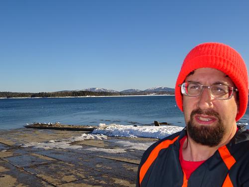
This was a perfect day to do this hike. I'm amazed at how much shorter the snow banks are down south. LOL
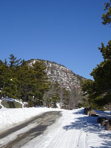
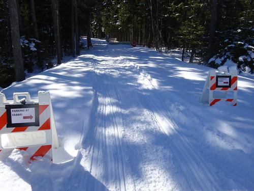
As planned, I did the hike in 2 sections. I altered it some, as I parked at Fabbri for the 2nd section, but it didn't add any mileage. Not long after I left Sand Beach on the 1st half of my hike, I met a guy who had hiked Gorham Mtn. I had thought of doing a loop over Gorham Mtn, but decided to do that on a future trip.
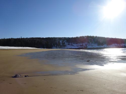
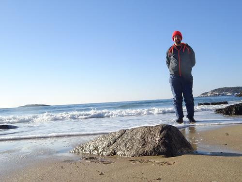
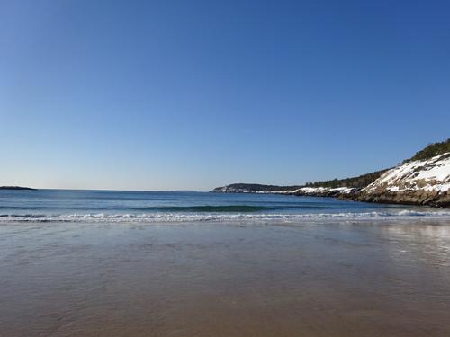
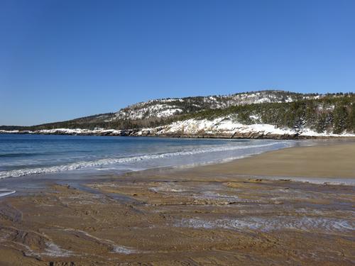
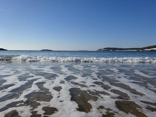
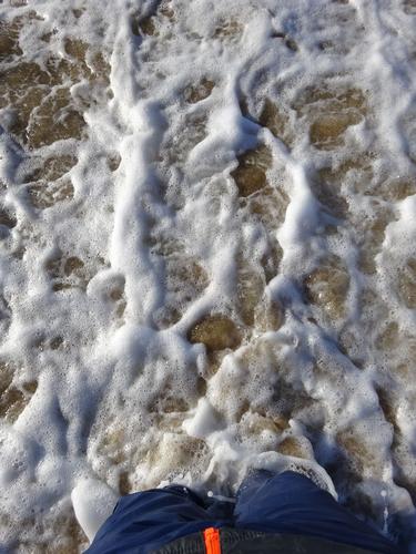
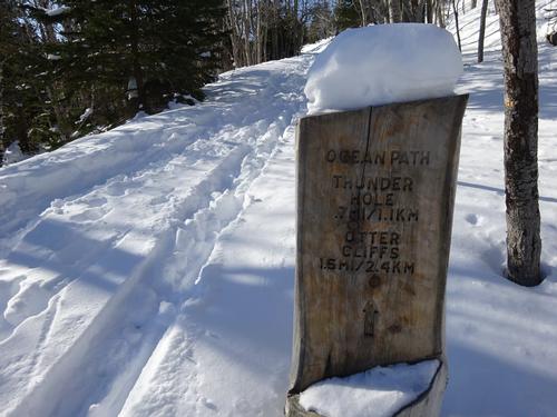
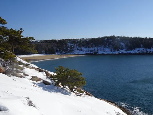
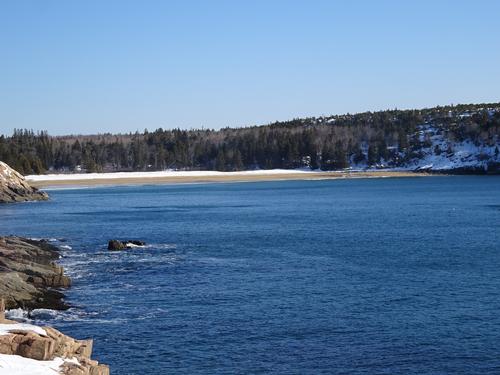
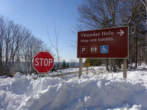
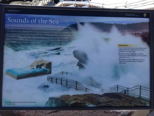
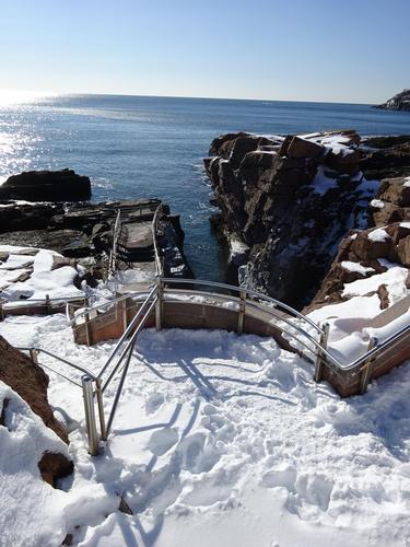
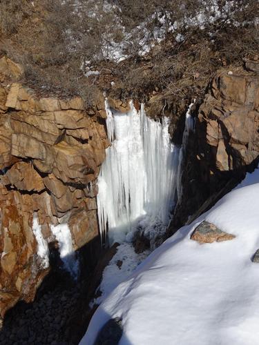
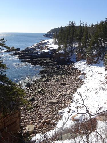
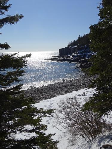
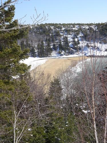
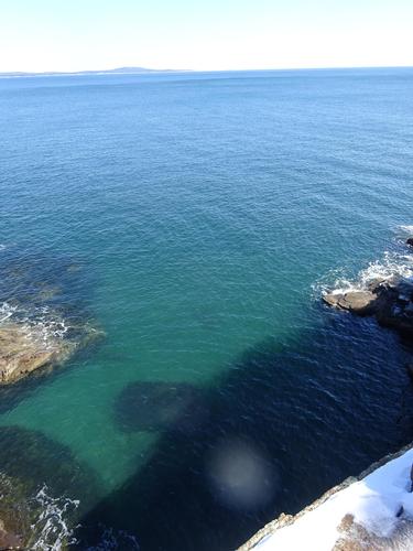
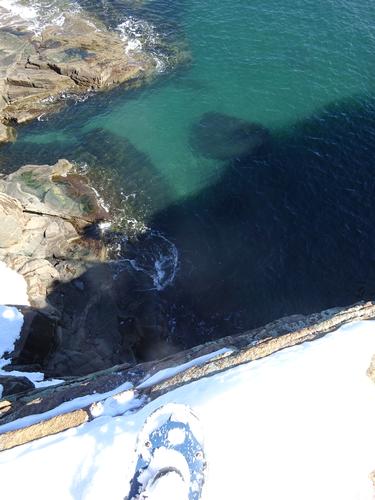
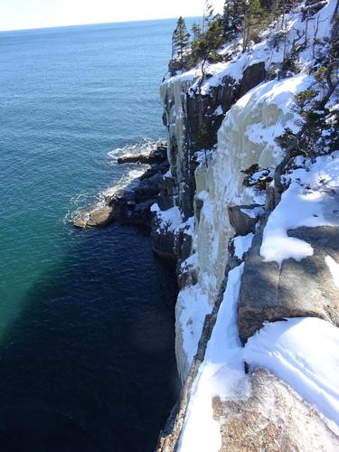
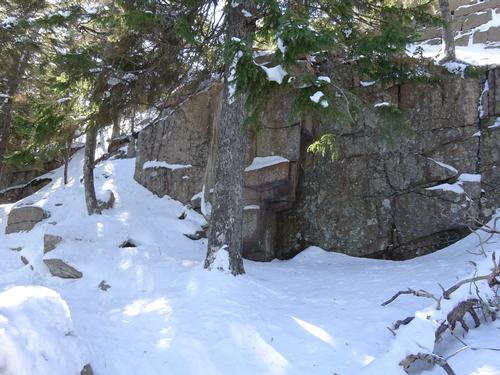
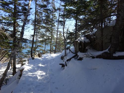
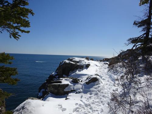
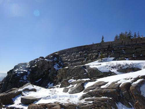
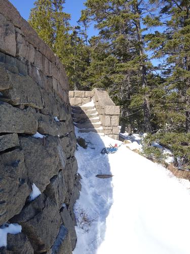
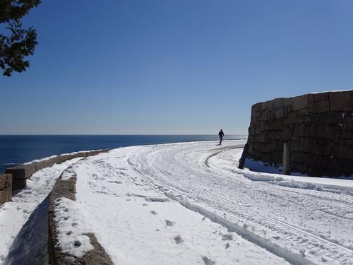
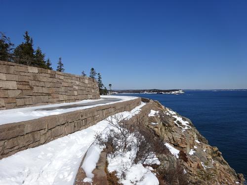
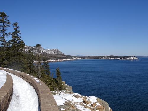
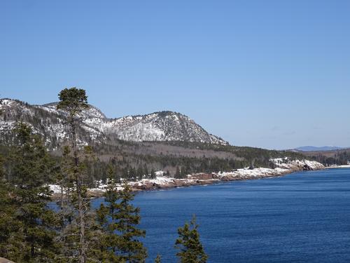
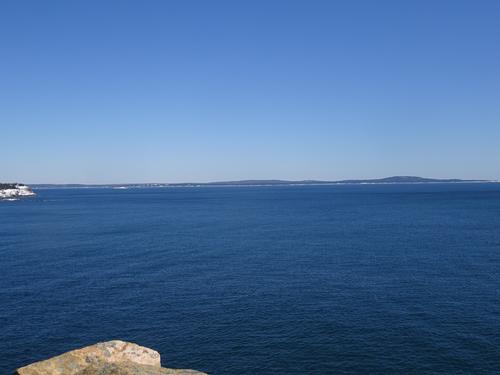
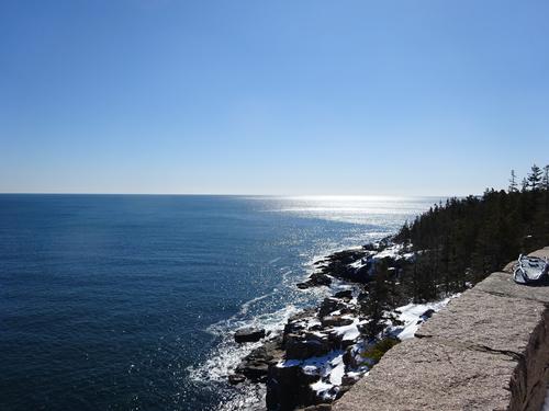
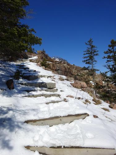
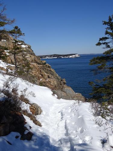
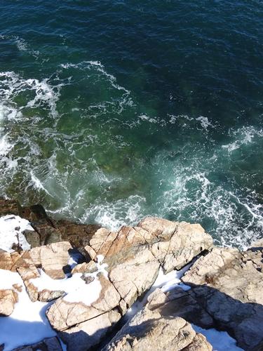
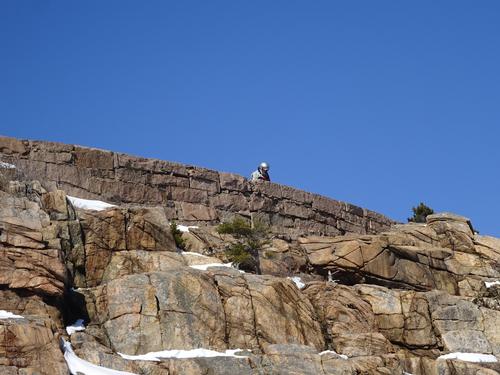
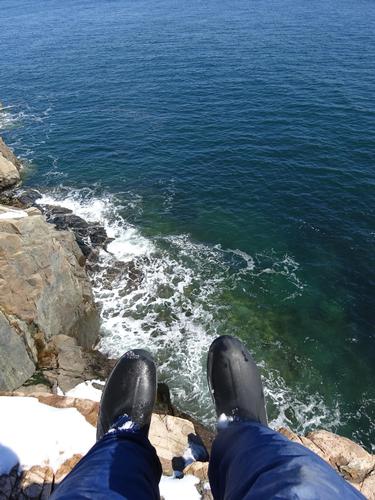
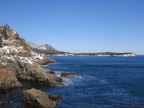
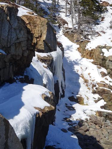
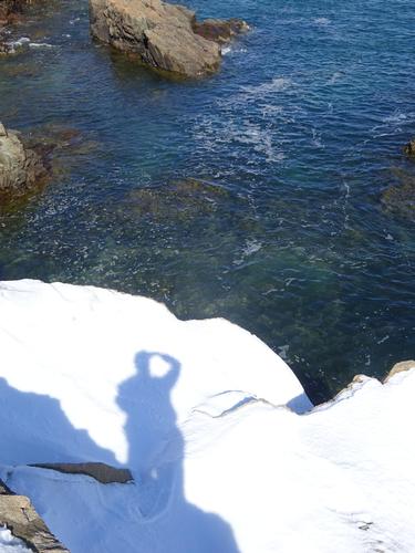
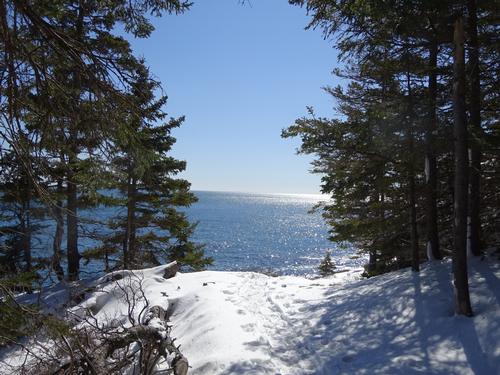
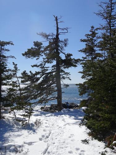
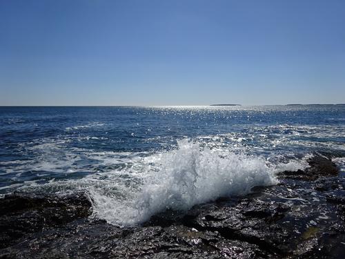
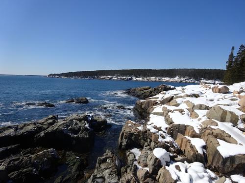
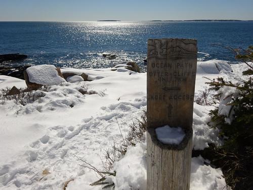
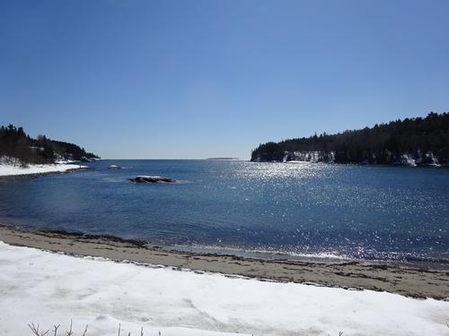
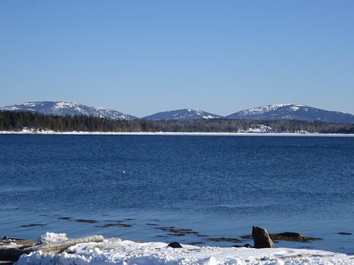
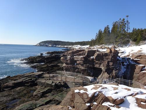
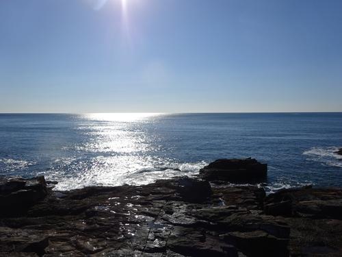
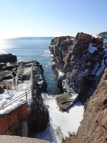
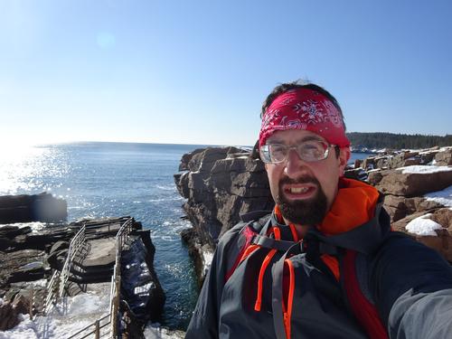
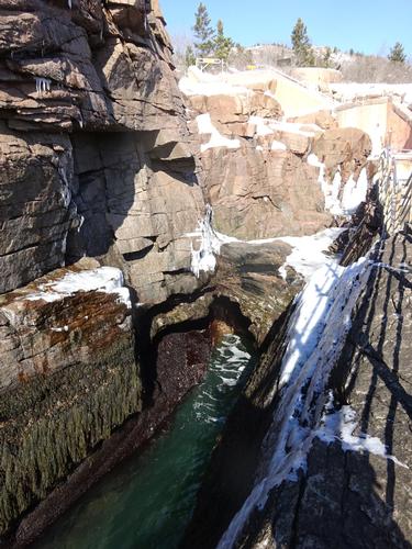
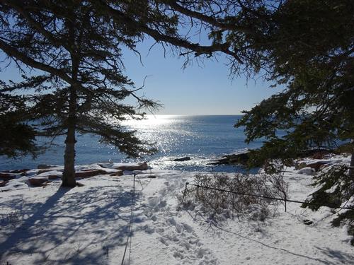
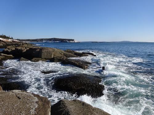
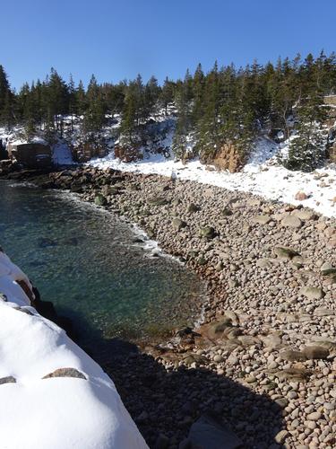
The 1st half of the hike from Sand Beach to my turn around at the Otter Cliff Rd took almost 2 hours. This includes time spent on the beach. I spent a lot of time taking pictures and enjoying the scenery. I used snowshoes on this part, but took them off frequently to go out on the rocks/ledge along the shore. Thunder Hole was rather boring. LOL At my turn around spot I took my snowshoes off, and walked the road back to Sand Beach. This part of the hike only took 1/2 hour. The total time for the 1st half of the hike was just under 2 1/2 hours, and about 2.6 miles round trip.
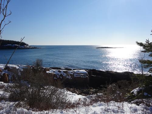
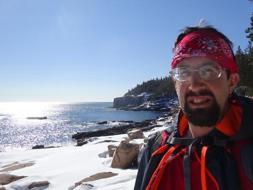
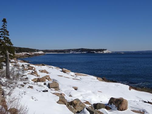
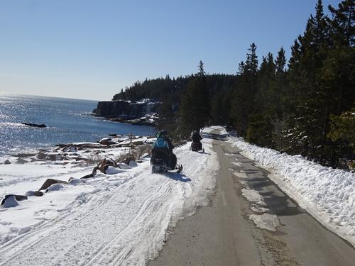
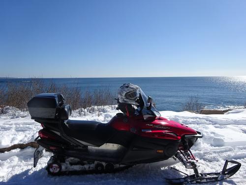
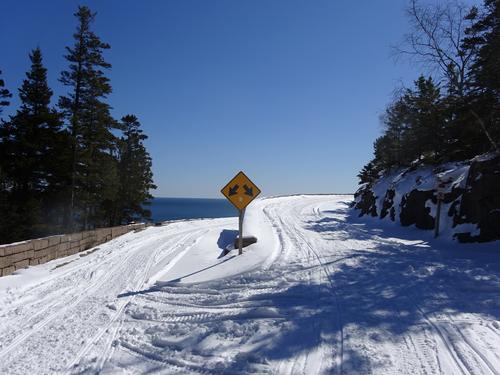
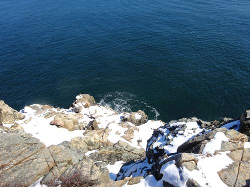
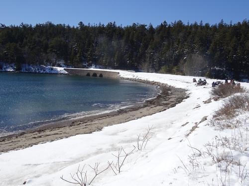
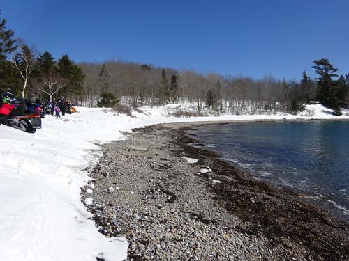
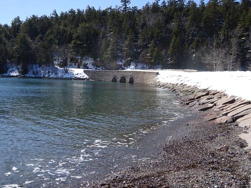
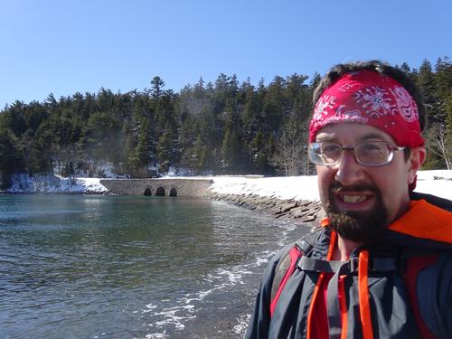
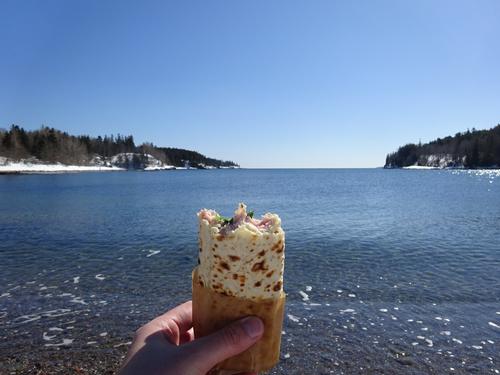
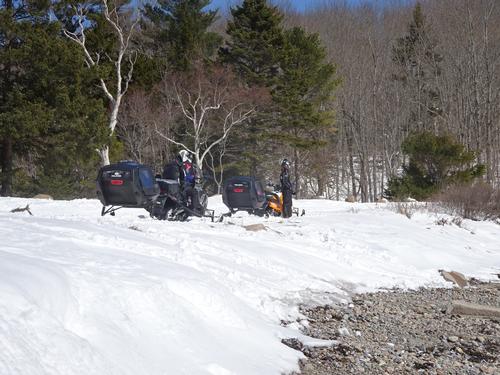
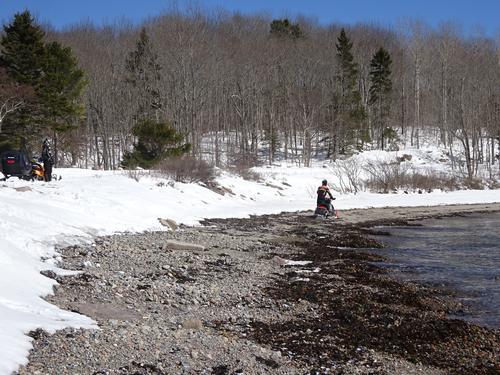
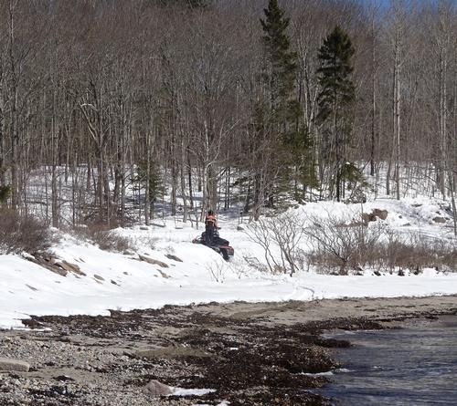
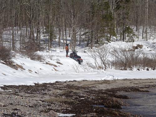
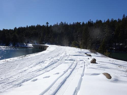
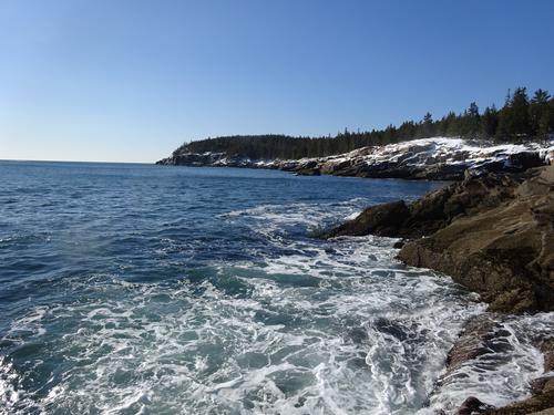
After the 1st half was done, I drove to Fabbri to start the 2nd half. I walked the road a short distance, and then picked up the Ocean Path. I continued past Otter Cliff to Otter Point and the Loop Rd, which is a snowmobile trail. I continued on the Loop Rd to the causeway at Otter Cove. I did not use snowshoes for most of the 2nd half because the snow didn't seem as deep along this section, and I wanted to go out on the rocks/ledge along the shore. As with the 1st half, I spent a lot of time taking pictures and enjoying the scenery. It took me 1 3/4 hours to reach the causeway where I stopped and had lunch. Total time for the 2nd half was 2 1/4 hours, and was about 2.3 miles. Total mileage for both hikes was around 4.9 miles. ** The mileage only counts walking the trail and road. It does not count walking on Sand Beach, or any of the places I went off along the shore, so my actual mileage is more than 4.9, but no way to measure it. ** The hikes were easy. There were several people out enjoying the day.
I had a second lunch when I finished the 2nd half of the hike. A couple (straight) talked to me after I got done the hike. They had seen the signs for Jordan Pond along the Loop Rd, and wanted to know how far it was to ski there. I told them it would be a few miles. I also told them how to drive to Jordan Pond, so that is where they went.
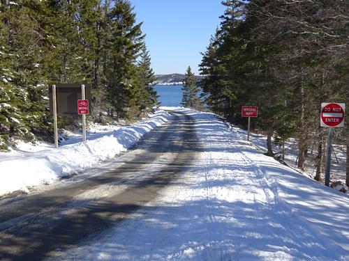
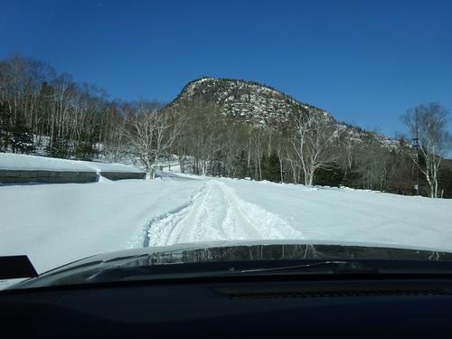
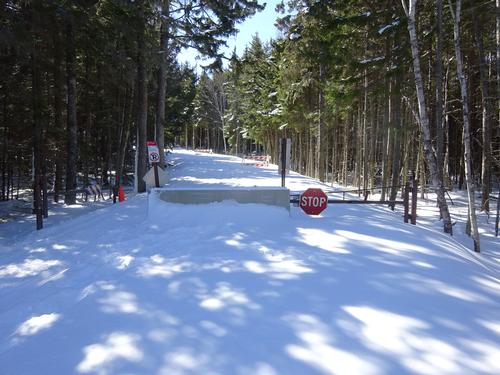
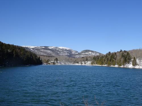
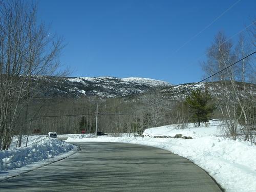
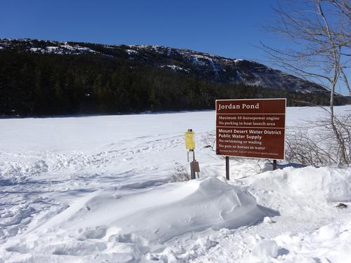
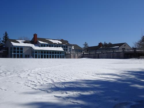
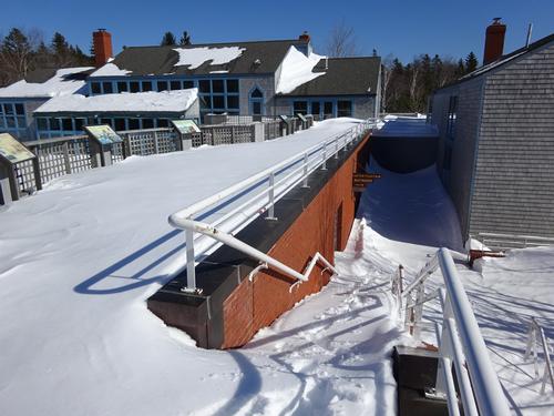
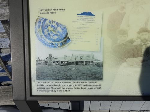
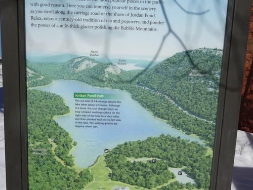
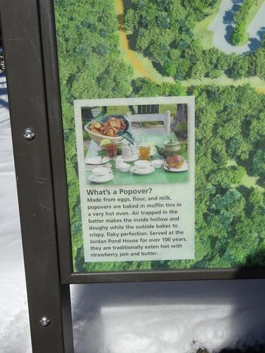
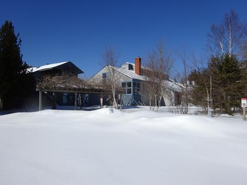
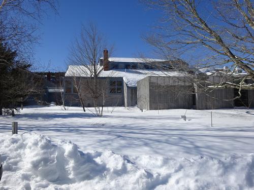
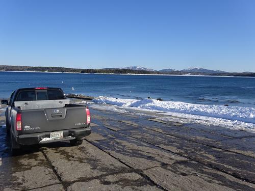
After the hike I drove to Jordan Pond. Winter access is different than in summer. The road actually has signs that say "No Thru Traffic", but that is the way to get there. And, since you have to turn around at Jordan Pond, is that really "Thru Traffic"? LOL
I met the straight couple getting out of their car at Jordan Pond. They thanked me for the info on the road, as they did not know about it.
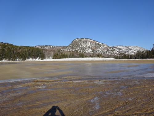
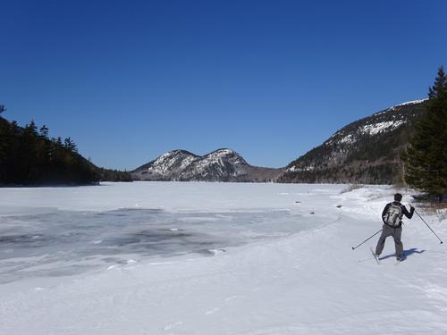
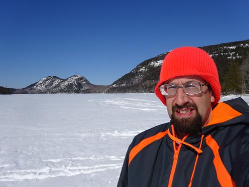
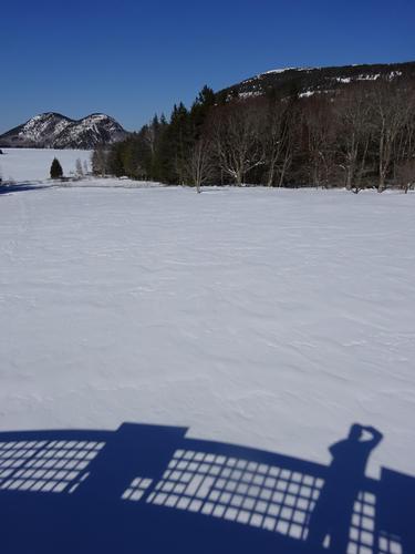
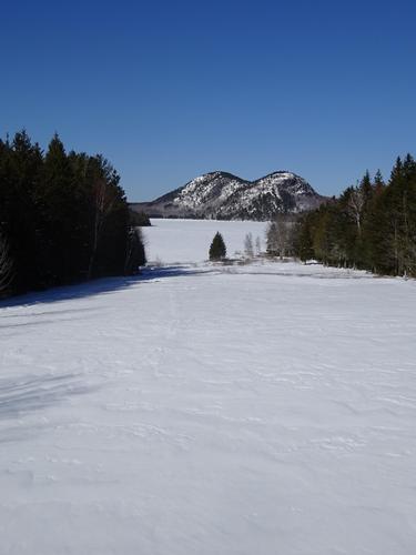
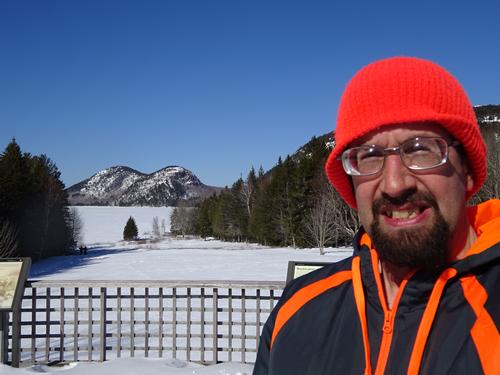
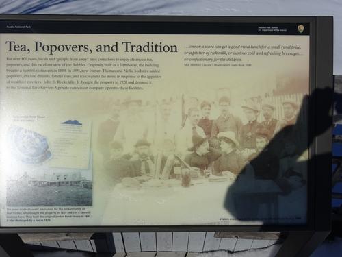
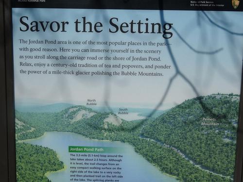
The wind was whipping across the pond and I almost went back to my truck to get more cloths, as I only had a t-shirt and light jacket on, but I wasn't going to be there very long, so I just dealt with it. This was the only part of the day that was really windy. The view of The Bubbles is excellent from Jordan Pond. Do The Bubbles make anyone think of a woman's breasts?? ahhhhhhhhhhh LOL
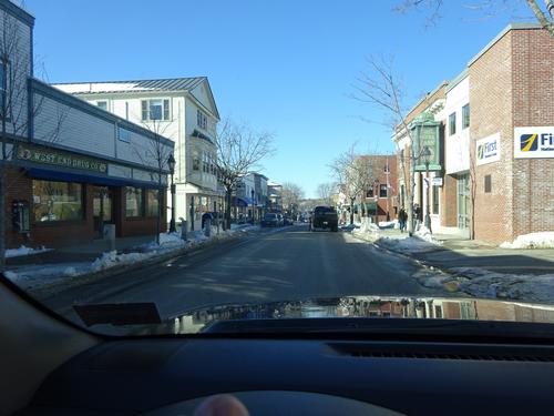
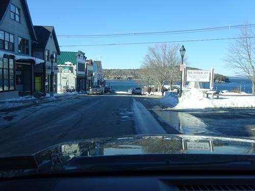
After Jordan Pond, I drove back through Bar Harbor and headed home.
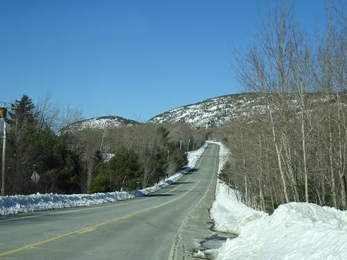
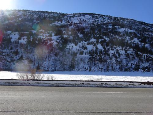
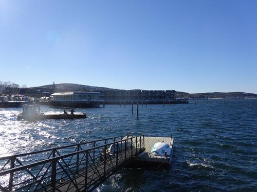
Along Rt. 3, I pulled over to take a picture, and a guy in a convertible with the top down drove by. I saw this guy again in Bar Harbor, down by the pier. He had his head covered. LOL It was warm, maybe around 40, but not warm enough for that. LOL. I did have my windows down a little bit.
Event photos (135)


Reactions
Log in to react to this trip report.
About this event
I'm going on a winter hike in Acadia National Park along the Ocean Path.
I will divide this hike into two separate sections......
1. The first section will be from Sand Beach to the parking lot between Monument Cove and the Otter Cliff Rd.
This section is about 1.1 miles, one way.. If two cars are available, with room for everybody, this can be a one-way hike. Leave a car at Sand Beach, and start the hike from the parking lot between Monument Cove and the Otter Cliff Rd and walk to Sand Beach. If two cars can't be used, this hike would be about 2.2 miles round trip.
This section of the Ocean Path runs parallel to the Loop Rd, and is mostly flat and easy. In some spots, the path is actually a sidewalk, but this will be covered by snow. This stretch includes Thunder Hole.
2. The second section starts at the parking lot between Monument Cove and the Otter Cliff Rd.
The goal of this section is hike to Otter Cliff, 0.4 miles from the parking lot. Here the Ocean Path leaves the side of the Loop Rd and stays close to the shore, and returns to the Loop Rd at Otter Cliff.
After Otter Cliff, there are some options. If everyone agrees, we can stay on the Ocean Path all the way to Otter Point. There is a downhill stretch at Otter Cliff to the shore, but I don't recall it being incredibly steep. After Otter Cliff, the trail stays close to the shore all the way to the Loop Rd at Otter Point, about 0.6 miles. I don't recall the trail being rough.
At the end of the Ocean Path at Otter Point, there are still options.
1. Walk the Loop Rd past Otter Cliff back to the parking lot, which is 0.8 miles.
2. Walk the Loop Rd to the causeway and bridge at Otter Cove, which is 0.9 miles. Turn around at the bridge, walk the Loop Rd back to Fabbri, and cut over to the Otter Cliff Rd. Walk the road back to the parking lot, which is 0.7 miles.
So, here are mileage totals for the hikes:
1. If we have to do section one both ways, that is 2.2 miles. For section two, going to Otter Cliff and back is 0.8 miles. Total for this is 3 miles.
2. If we add the Ocean Path to Otter Point, and walk the Loop Rd back past Otter Cliff to the parking lot, the total for all hikes will be 4 miles.
3. And finally, if we add the causeway at Otter Cove to the hike, the total for all hikes will be 4.8 miles.
Elevation gain is very minimal, as the Ocean Path stays along the Loop Rd or the shore.
The Ocean Drive section of the Loop Rd is plowed from the entrance station to the Otter Cliff Rd. To access the Loop Rd, you take Rt. 3 through Bar Harbor to the Schooner Head Rd, and follow Schooner Head Rd almost to the end to the crossover to the Loop Rd.
To my knowledge there is no fee charged in the winter.
After these hikes, there is also an option to drive to Jordan Pond. You can only access Jordon Pond from Seal Harbor on the Jordon Pond Rd. * Note this is not the Stanley Brook Rd entrance, as that is not plowed. *
As for gear, I doubt microspikes would be needed, but with ever changing weather in Maine, might be a good idea to have some traction control. Snowshoes are also a must. I have an extra pair of snowshoes if anyone needs to use them.
Because of unknown conditions, I'd consider this easy to moderate.
If there is a cold wind off the ocean, clothing to block the wind would be wise.
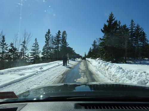
The unplowed sections of the Loop Rd are a snowmobile trail. The left hand lane of the plowed section is a snowmobile trail.
This is a 4-hour drive for me, so I'll be getting a hotel room in Bar Harbor Friday night. Once I leave home on Friday, I will not have access to the internet as my phone does not have that capability.
Who came along (1)
 GUEST MEMBER
Comments
No comments yet.
Log in to join the conversation.