
Pumphandle Trail - Allagash Wilderness Waterway
Hike up the Pump Handle Trail in the Allagash Wilderness Waterway
The trip report
Written by BillyB1976
Full day adventure in the North Maine Woods and Allagash Wilderness Waterway.
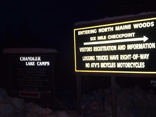
I left home at 5:30 AM and left the pavement in Ashland at 6:30 AM. I consider my adventure starting at the end of the pavement, because 1/2 of the adventure is just getting to the trailhead. LOL Temp. when I left home was 16 below!!
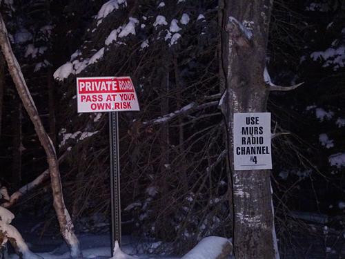
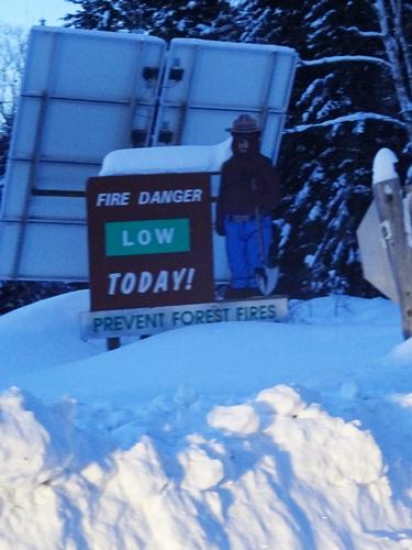
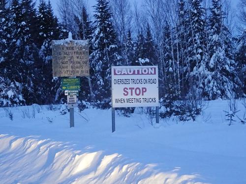
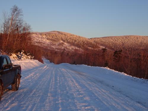
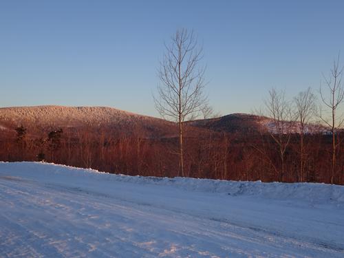
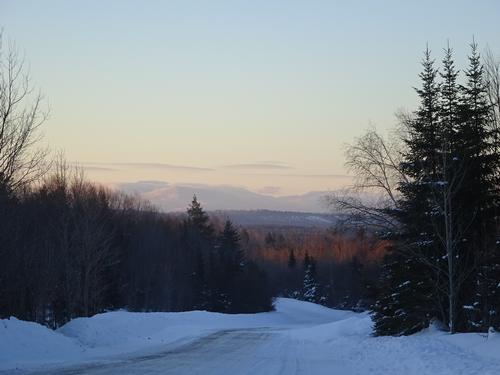
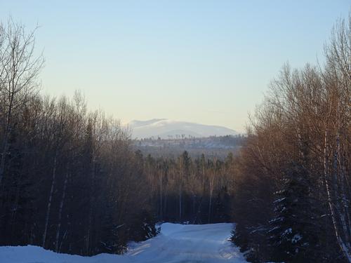
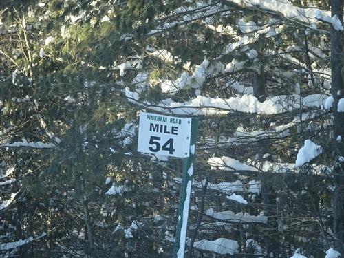
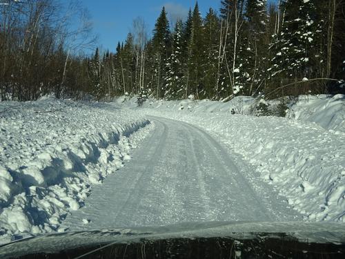
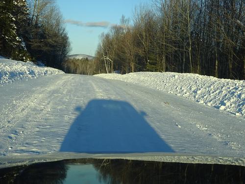
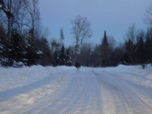
I normally love driving on woods roads, but not so much today. Roads were rough, and 30 MPH was about it. It took me 3 hours to get to the trailhead from Ashland, - about 62 miles southwest of Ashland. But, I did stop at a few spots.
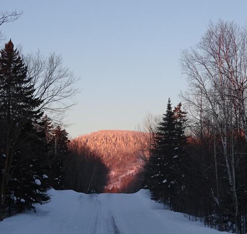
Right at sunrise it was still very windy and I was a little worried about the hike, but at the trailhead I did not feel or hear any wind.
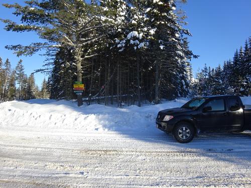
At the trailhead I met two game wardens that were heading out onto the lakes.
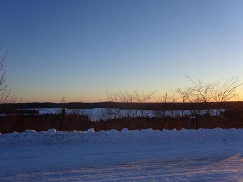
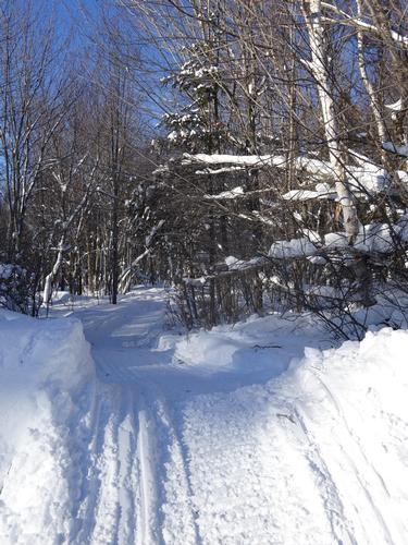
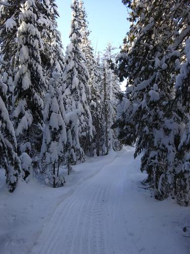
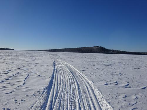
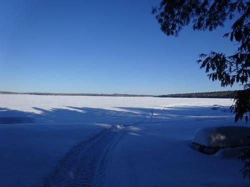
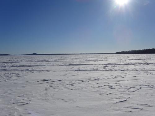
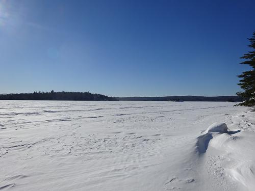
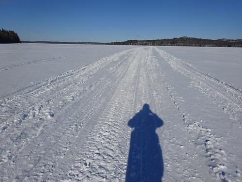
I followed the snowmobile trail about 0.4 miles down to Eagle Lake. No wind.. :) There was a breeze from time to time, but not a problem.
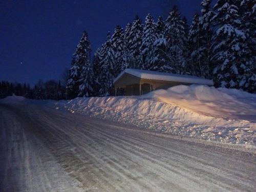
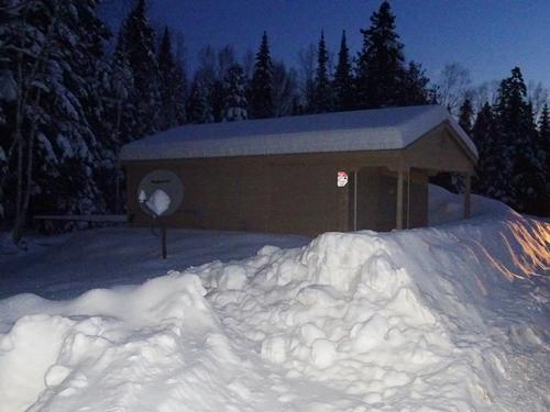
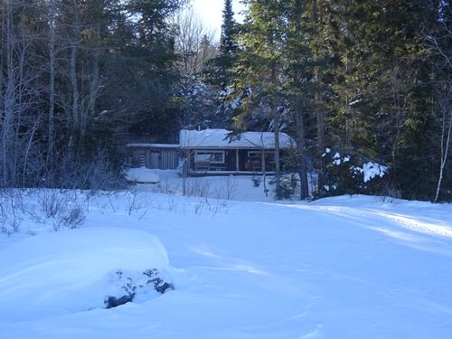
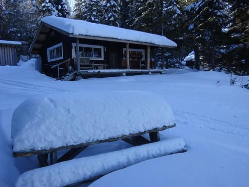
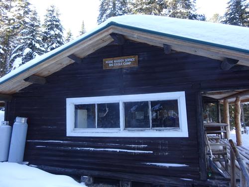
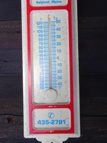
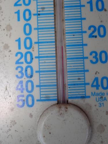
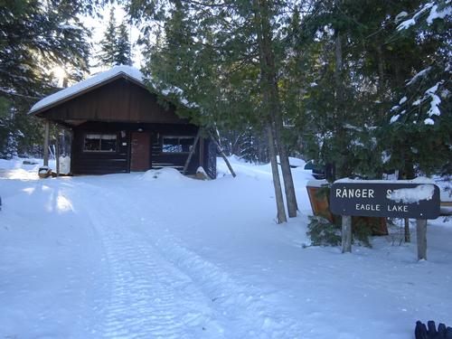
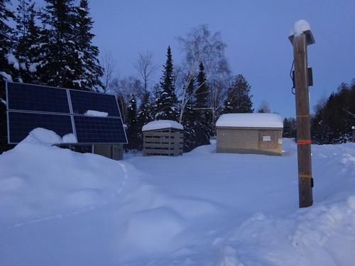
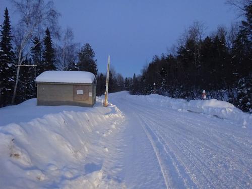
I first wanted to check out some camps along the shore. One was a game warden camp, and the other a ranger station. There was a thermometer on the warden camp, and it said 12 below!!! It did not feel that cold, and I was already shedding layers!!! This was at 10:10 am.
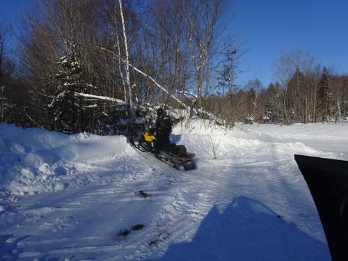
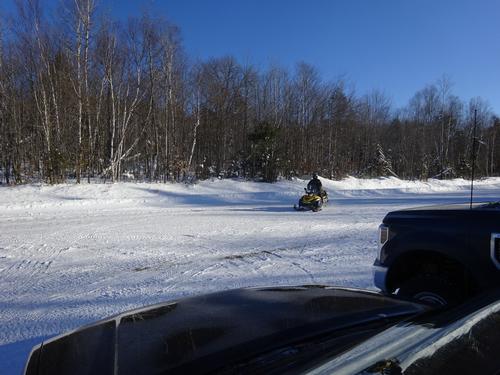
After visiting the camps, I walked the lake towards the Pump Handle Trail. Not far from the camps, a snowmobile approached me, so I stopped and waited. It was an AWW ranger, he did sound/look familiar. He said he thought he had seen me before. He said in summer he works further north at Michaud Farm, and that is where I met him a few years ago.
I asked him about the temp. and he said it probably was 12 below. He is based at Chamberlain Bridge, a little to the south, and he had 20 below this morning. He said Clayton Lake, a little to the north, had 21 below!!
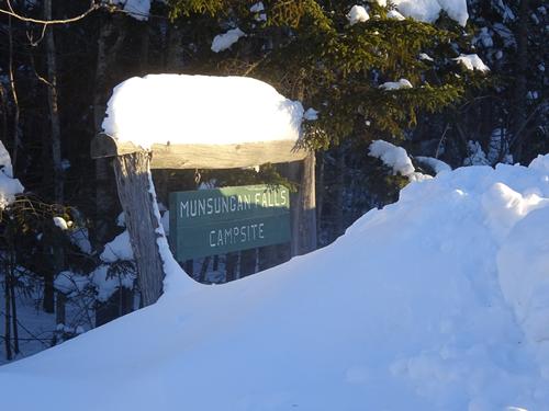
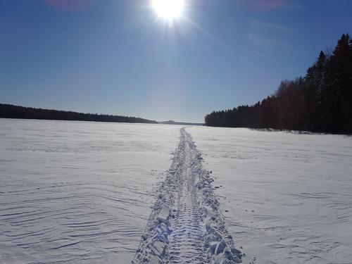
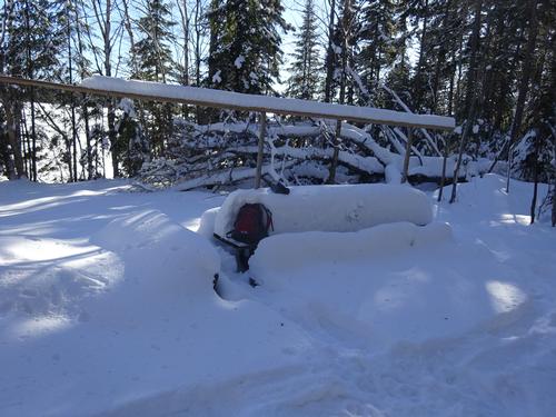
After chatting with him, I continued south on the lake to the start of the Pump Handle Trail. I guess the rangers are afraid people are going to steal the campsite signs, because they had all been removed. Luckily I knew where to go.
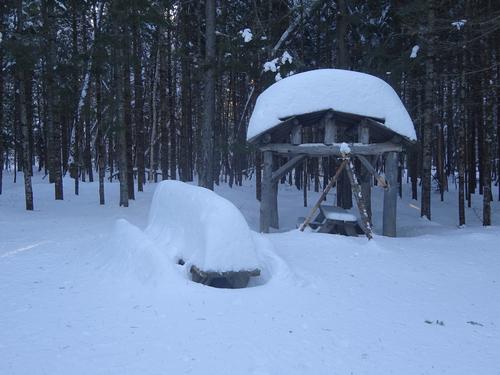
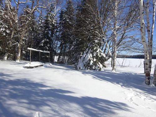
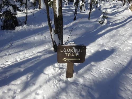
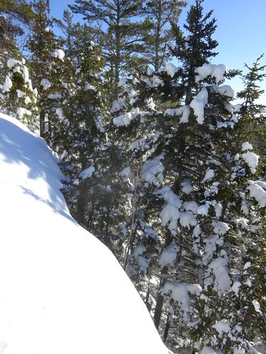
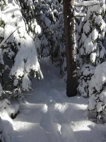
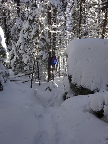
I circled the campsite looking for the trail, and I found the sign for it. But, the trail wasn't marked well. I only noticed one blue blaze. I followed it for a while, and then lost the trail. I decided to just keep going uphill and hope to either find the trail or the viewpoint.
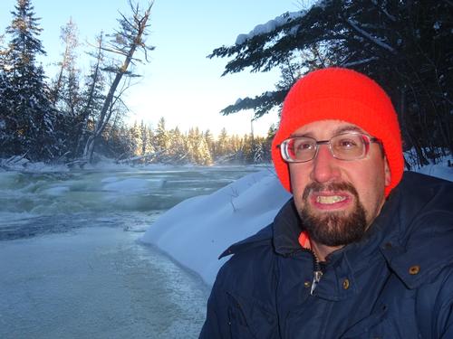
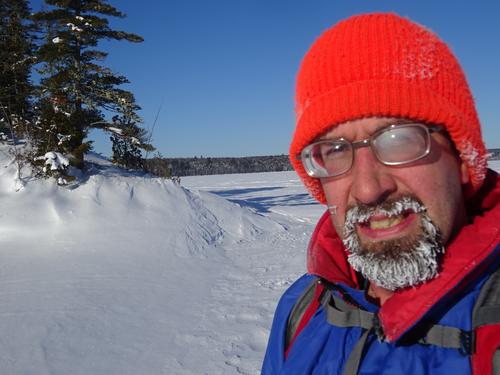
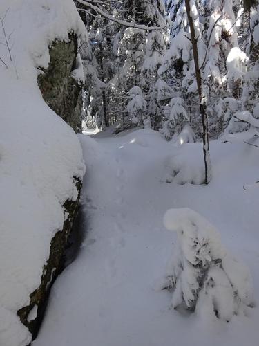
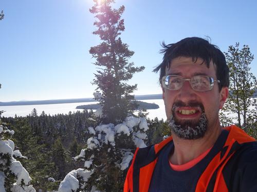
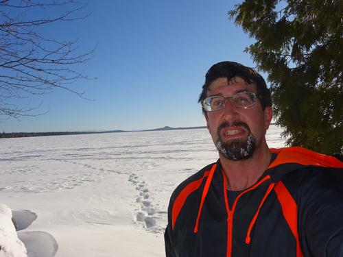
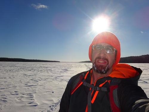
One major problem I have in cold weather is my eyeglasses fogging/freezing up. Makes it hard to see, and I have to stop to wipe them off. Well, in one spot where I stopped, I noticed it looked more cleared out. I noticed small fallen tree that looked cut. I wiped off the snow, and shore enough, the tree had been cut. So, I was back on the trail!!! And stayed on it to the viewpoint. I was also able to follow the trail for the most part back down.
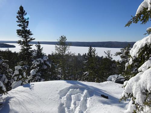
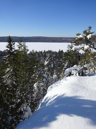
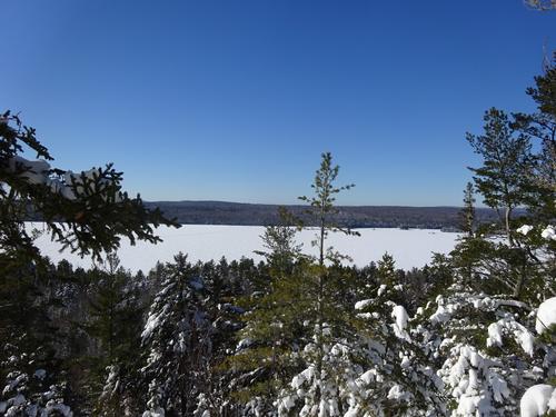
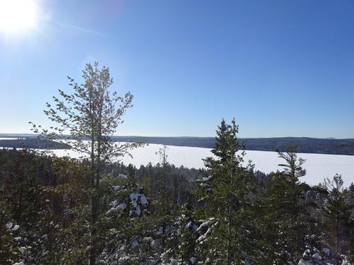
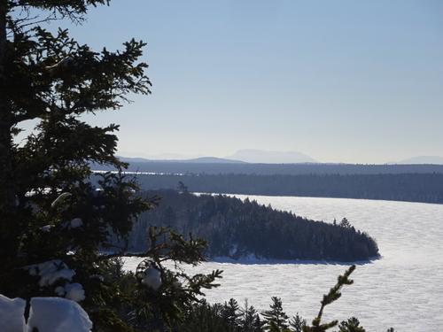
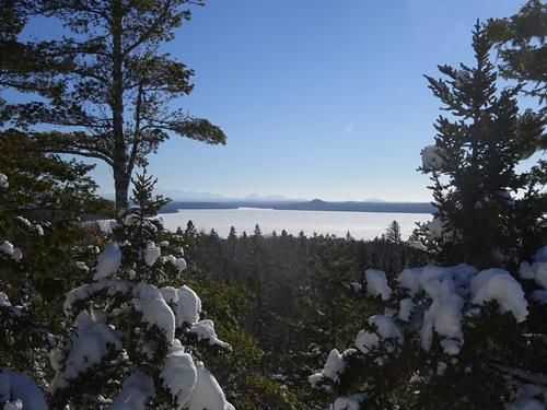
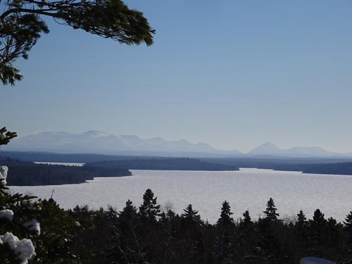
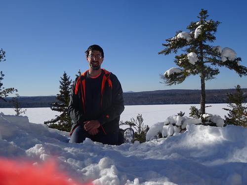
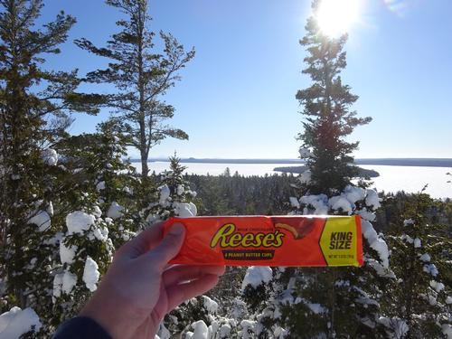
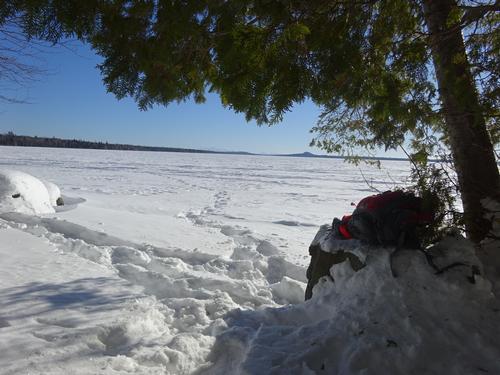
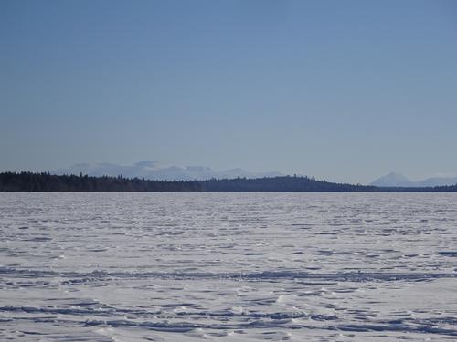
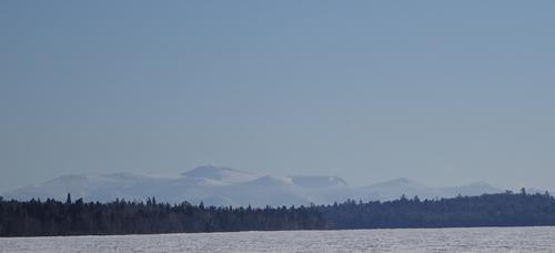
The view is not spectacular like you'd see on some 4,000 plus foot mountain, but I think it was still awesome, and worth the effort to get there. Excellent view to the south over Eagle Lake, all the way to Katahdin!!!
I hung out there for a while, and headed back down to the lake. I decided to walk the lake a little further south to a campsite on a point. This spot also had a good view of Katahdin.
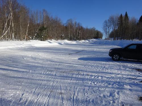
After that, I walked back up the lake on the snowmobile trail. I was the only vehicle remaining at the trailhead parking.!!
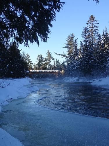
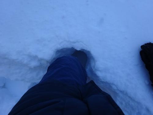
I did use my snowshoes for the entire trip. On the lake, I walked the snowmobile trail for the most part, but did go off the trail to get to the camps. The wind blown snow was not hard to walk on. Even though it was freezing cold, there were still some slushy spots. I'm guessing water must've been coming up through cracks in the ice?
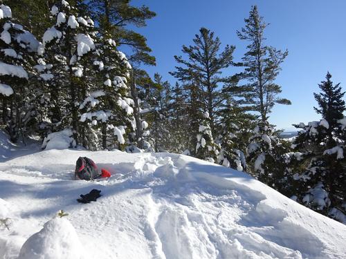
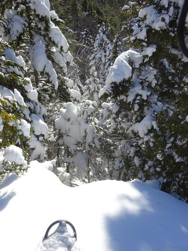
I had to break trail to the viewpoint. A bird scared the fucking shit out of me. I stepped down, and a bird just flew up out of nowhere!! It happened so quick, but I think it was partridge. I think they will bury themselves in the snow to stay warm. I looked to see where it flew up out of the snow, but didn't notice a spot. I think I basically stepped right on it!! This was a first for me...
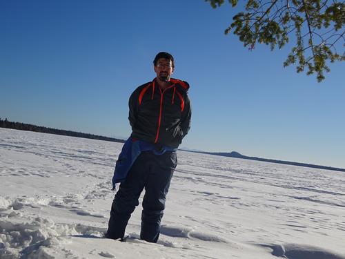
It was a cold day, but bearable. I think it did finally warm up to the single digits above zero. LOL Nice blue sky, and the sun felt great.
I hiked almost 6 miles, and it took me just under 4 hours. The actual trail I had to break was maybe 1/2 to 3/4 mile. It was hard going in spots because of uneven snow, but not difficult.
After the hike I explored a few more woods roads, and headed back to civilization! LOL
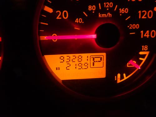
My total road miles were 220 miles. My miles on woods roads were 130 miles!! For traffic on woods roads, I only saw 2 other vehicles!!
Arrived home at 6:15 PM, so almost a 13-hour day. I had Mac & Cheese for supper, and ate almost the entire box. LOL
Event photos (70)
Reactions
Log in to react to this trip report.
About this event
*************************
Close to time to hit the road. It is 16 below 0 right now!!!!. It is supposed to warm up to around 10-12, and I sure hope it does. Long drive to get there, just keep it between the snowbanks. LOL I've yet to meet a snowbank that I like. LOL
And yes, I've been in a few snowbanks over the years. Luckily, I've either been able to shovel myself out, or someone came along to pull me it. Finding help can involve very long walks. That has happened to me in warmer weather, but luckily not in winter. I bring winter cloths on all winter drives in the woods.
***************************
This is a very remote hike in the Allagash Wilderness Waterway in the North Maine Woods.
The goal of the trip is to hike the Pumphandle Trail to Second Ridge to take in a view to the south over Eagle Lake. I don't believe the view is grand, but a nice view for the area.
The Pumphandle trail is normally water access only, but in the winter you can walk on water. LOL
The hike will start on a snowmobile trail on the Cyr Rd that goes downhill 0.4 mile to Eagle Lake.
From there we walk one mile down Eagle Lake to the Pumphandle Trail. Hopefully we can follow snowmobile tracks to the trail.
Snowshoes will be required to hike the Pumphandle Trail 3/4 mile to the viewpoint.
Return is via same route. Round trip is 4.3 miles.
The elevation of Second Ridge is 1,218 feet. Elevation gain up the ridge is 318 feet. On the return, there is an elevation gain of 170 feet to get from the lake up the snowmobile trail to the trailhead.
I would consider this a moderate hike, as we should only have to break trail for 3/4 mile.
Dress appropriately for cold weather. The temp. is only going to be in the single digits. Wind on the lake might be possible, so be prepared.
I really can't predict time because of the long drive involved to get there. You should plan on this being an all day trip.
Bring food for the entire day in your vehicle. Bring enough food for lunch on the trail.
This hike is new to me, but the drive to get to the trailhead is not. I've been traveling the woods roads of North Maine Woods since I was 13..
I really doubt anyone will be crazy enough to join me on such a remote hike, but wanted to post anyway.
For anyone coming from the south, this will most likely require you to spend the night before, and possibly after. I do have one double bed if anyone wants to stay here. So, one couple, one single guy, or 2 single guys who don't care if they share a bed. LOL
There are no motels in Ashland. There is one motel further north in Portage. There are several motels in Presque Isle. Anyone going to Presque Isle needs to stay on I-95 to exit 302 in Houlton, and take U.S. Rt. 1 north to Presque Isle.
For anyone staying in a motel, I can email directions to Ashland.
**************** If anyone does want to do this hike, please sign up by 5 AM on Sunday, Jan. 13. Thanks ***************************
If no one has signed up by that time, I'll probably leave earlier in the morning.
Who came along (1)
 GUEST MEMBER
Comments
Log in to join the conversation.