
Mount Megunticook, Maiden Cliff, and Mount Battie Loop Trail
Report: Mount Megunticook, Maiden Cliff, and Mount Battie Loop Trail
The trip report
Written by baezfred
Trip report
Although a bit overcast during the earlier part of the hike, what a perfect day!
Mo met me at my house and on the way to Camden treated me to a nice cup of D&D coffee. We got to the State park around 9:15 AM. I noticed my gloves were missing…I must have left them on the roof of Mo’s car when we stopped at DD. Now some homeless guy is wearing my gloves. Fortunately the temperature was around 38 degrees and my bare hands enjoyed the connection with the cool morning air. I actually use my hands a lot, and when you get your minds out of the gutter I will explain what I mean by that: I enjoy touching the air or pressing these hands against the summit rocks during a quick rest. It makes me feel connected to the earth while also enjoying the way the cool air around me feels. This was a part of today’s experience.
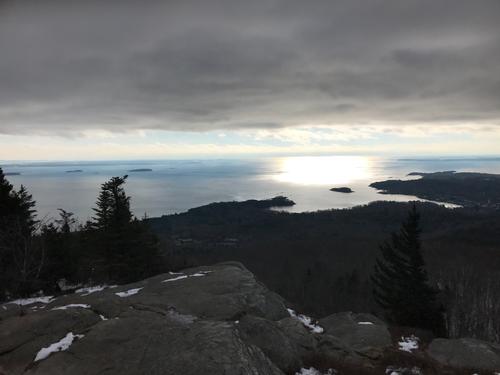
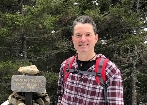
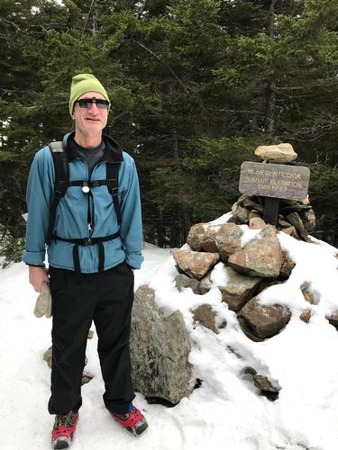
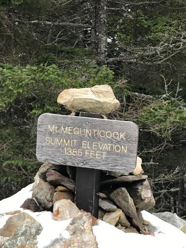
We started our climb up Mt. Megunticook. It was a moderate, enjoyable climb and opportunity for great conversation between two awesome guys. We reached Ocean Lookout which offers the best views of the entire trail. By this time the sun was pushing away the dark clouds, those up in the air and the ones within yours truly (it’s been a crappy month). After enjoying the sight of the vast ocean and downtown Camden below, then striking a pose for some pics of our awesome selves, we continued our climb to the summit, an elevation of 1385 feet. We once again enjoyed the wonderful views, took more pics of them and, of course, our vain selves, and continued towards the ridge.
The ridge was a long trail walk through the woods. The enjoyment of the surroundings and engaging conversation continued. By now Mo’s ears were bleeding from my chatter. We reached the Millerite Ledges, really cool spot, but the trail ahead could have been better marked…we got a bit lost. After breaking out of the fetal position, we continued and quickly picked up the trail again.
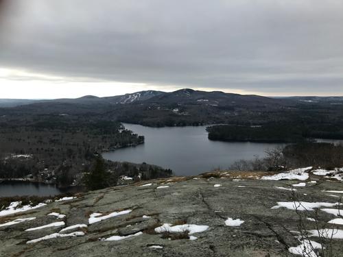
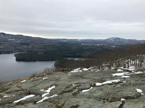
By now the sun was out and free of clouds. We reached Maiden’s cliff. It was a little past noon and a great opportunity to sit down, enjoy the fine cuisine (turkey sandwich and apple) while admiring views of Megunticook Lake and the Penobscot Bay.
From there we started the long descent and once again lost the trail but eventually found it. The loop involved walking along Rt 52 to then cut across what has been described to me as “the secret trail” that connects back to the rest of the loop trail. “Poorly marked” they said. Marked?! I wish I could have found a single marker! We gave up trying to find it as we were starting to lose sunlight (at 3PM!) We picked up Carriage trail and worked our way uphill, connected to Mount Battie trail which lead to the road, then made our way back down to the parking lot. Unfortunately we did not make it to the summit of Mt Battie. That will have to wait until my hike this Thursday.
At the end of each hike there is a ritual. Look up at that high mountain and think to myself “I climbed that” It is a nice reminder that we can do what once we thought we couldn’t and the powerful spirit that can fuel us to push even longer and higher.
So…did I do good with my first trip report ever?!
Event photos (8)

Reactions
Log in to react to this trip report.
About this event
Mount Megunticook, Maiden Cliff, and Mount Battie Loop is a 8.6 mile loop trail located near Camden, Maine rated as moderate/difficult. Elevation gain 2352 ft. Dogs are also able to use this trail. Average hiking time 4 hrs.
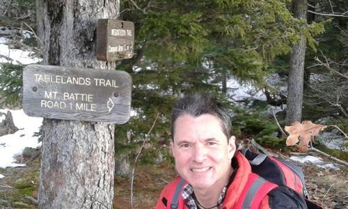
Starting at the Camden Hills State Park entrance on Route 1, there is beautiful hike up to Ocean Lookout. The 2nd half of this hike displays lots of civil conservation corps, 1930's, handsome stonework. From Ocean Lookout, the trail goes to Mt. Megunticook summit (1385 ft).Then, proceeds on the Ridge trail over the Millerite Ledges, 2.1 to Maidens Cliff (elev. 850 ft.). That has outstanding views out over the lake, and back to Penobscot Bay. Afterwards, back to the Route 1 entrance by way of the Jack Williams trail (which is below the Ridge). This hooks into the beautifulTablelands trail and heads over to Mount Battie (elev. 800 ft.) with its handsome view over Camden and the harbor.
Meeting place at the Camden Hill State Park, small parking lot off Battie Rd. Dress with warm layers of non-cotton couture, good hiking boots and bring a yummy lunch. At the end of a hike we can meet in downtown Camden for food and/or hot/cold beverages.
This is my first time putting a hike together and I'm still learning, so please be kind, patient and let me know if I missed any information or details you need to know and I will do my best!


Comments
Log in to join the conversation.