
South & Middle Moat to Red Ridge Trail
A GREAT DAY HIKING
The trip report
Written by MO · last updated by Randy on Aug 23, 2018
MOATS TRIP REPORT
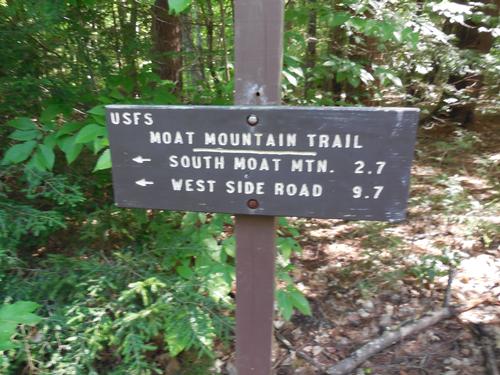
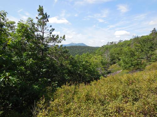
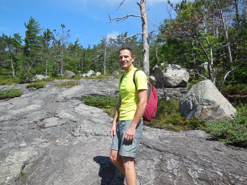
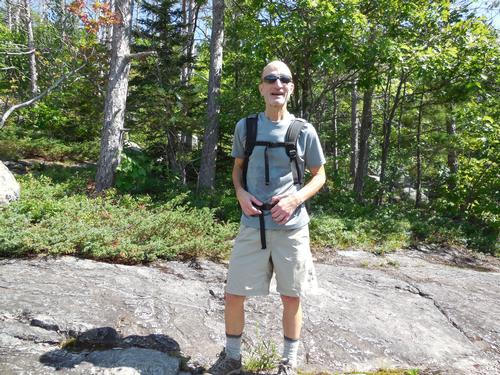
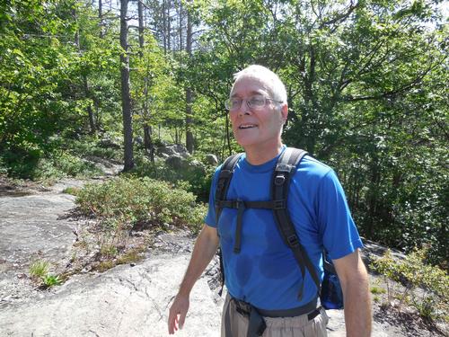
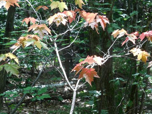
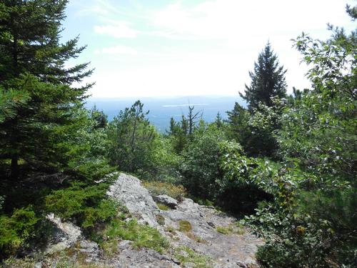
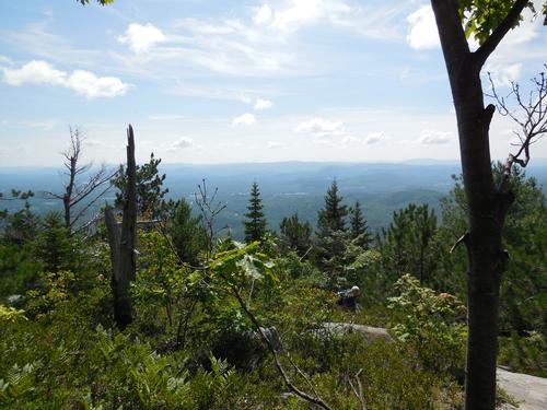
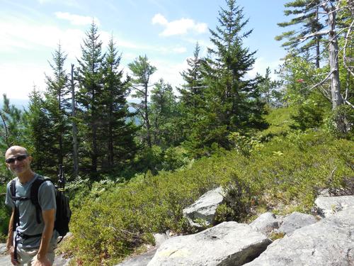
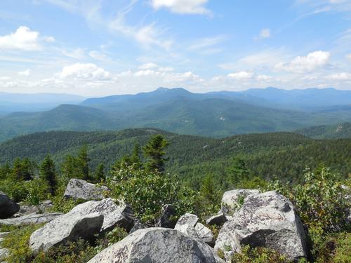
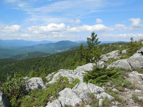
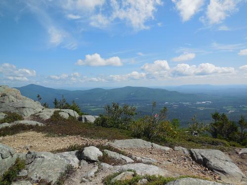
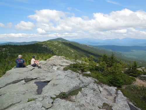
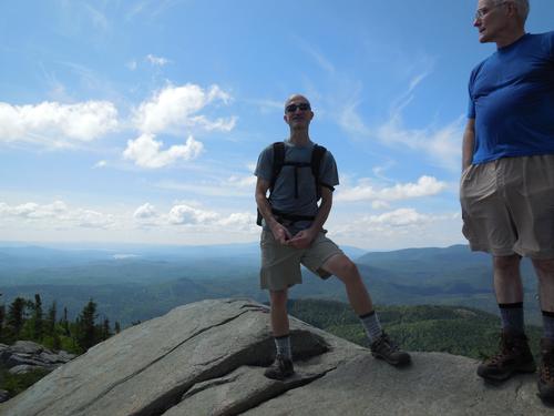
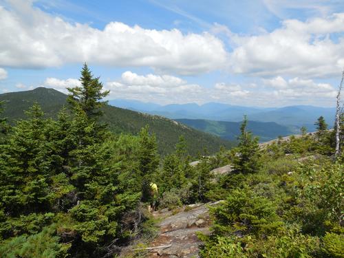
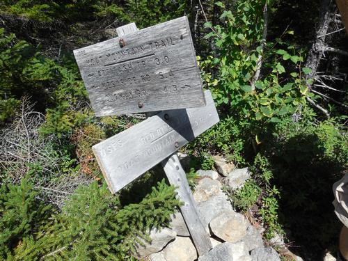
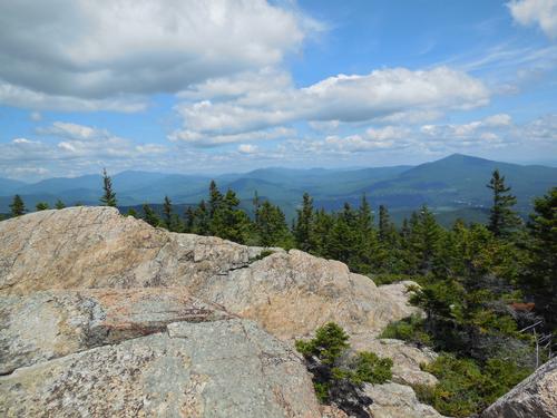
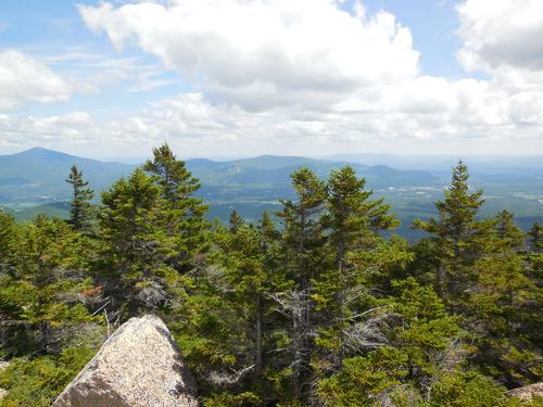
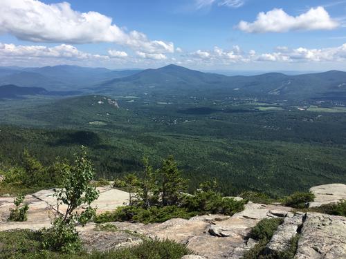
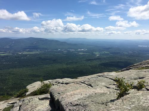
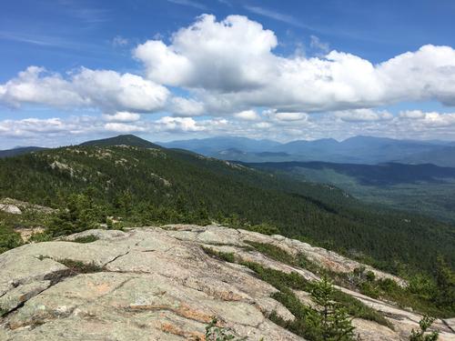
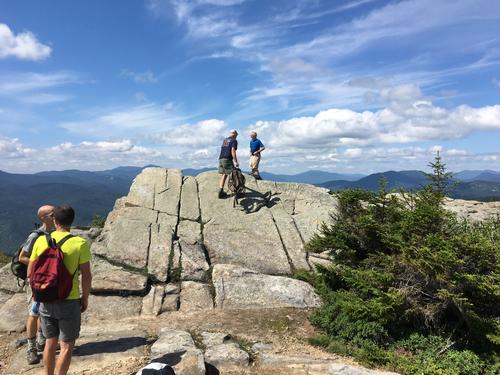
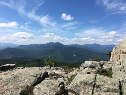
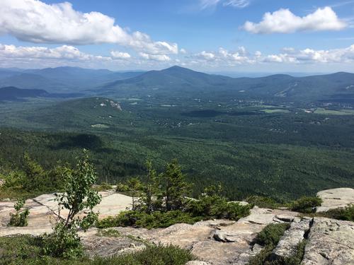
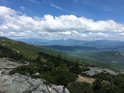
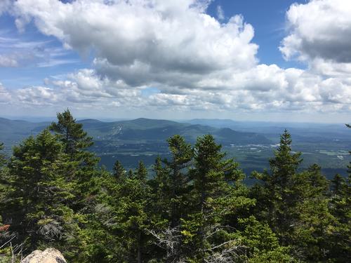
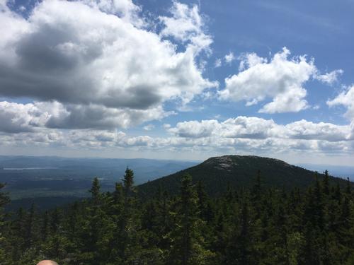
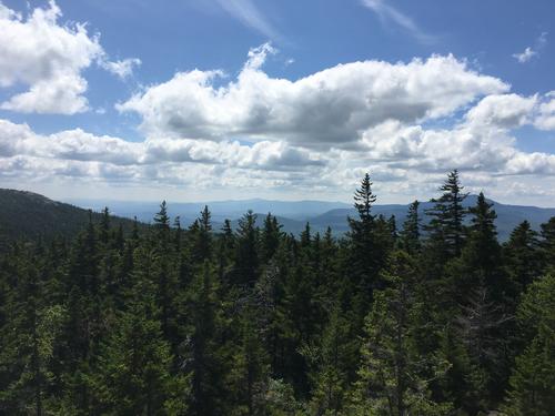
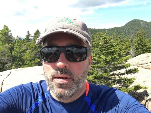
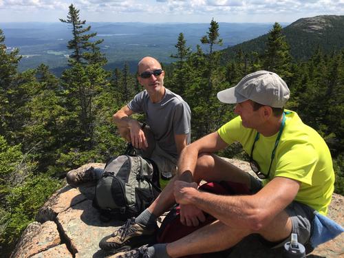
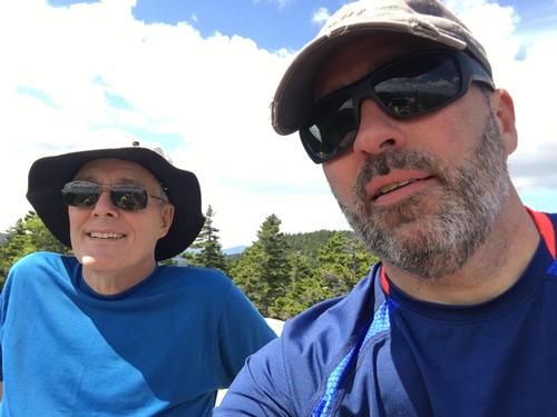
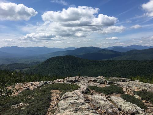
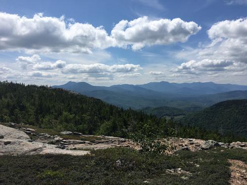
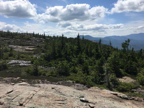
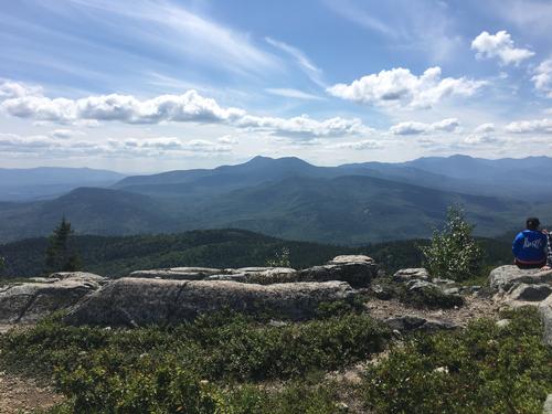
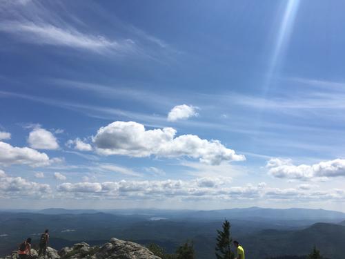
Es war ein toller Tag für eine Wanderung - sonnig, warm, geringe Luftfeuchtigkeit. Wir starteten unsere Wanderung von Passaconaway Rd Trailhead. Wir wanderten South & Middle Moat dann weiter bis zum Red Ridge Trail Junction. Die Aussicht auf die Weißen im Süden und Westen waren fantastisch. Wir hatten Mittagessen auf dem Red Ridge outcrop - wieder tolle Aussicht. Für den größten Teil hatten wir die Wanderpfade zu uns.
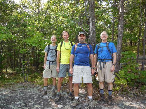
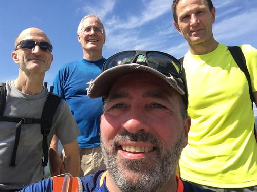
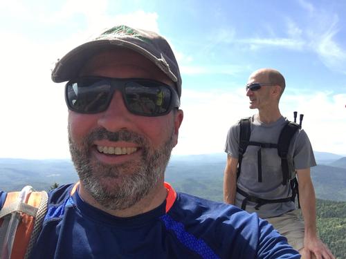
Insgesamt war es eine tolle Wanderung. Danke Karl, Randy und Jim für die great Gesellschaft. Besonderer Dank an Randy für großartige Bilder.
NOTE: this may help: https://translate.google.com/
Event photos (40)
Reactions
Log in to react to this trip report.
About this event
We will hike the South Moat and Middle Moat to the Red Ridge trail junction. This is an out and back hike with total round trip distance of 8.4 miles and elevation gain of 2,650 feet.
The Moat ridge is a long north-south running ridge, with many peaks along the crest. The three most significant peaks on the main ridge are North, Middle, and South Moat Mountain - all crossed by the Moat Mountain Trail. These three peaks have open rocky summits with spectacular 360-degree panoramas – among the best in the region. To the west, you look out over the Sandwich Range and the valley of the Kancamagus Highway. To the northwest, over the rest of the Moat Range, you look into the center of the White Mountains.
Estimated Elevation Gain: 2,650 feet
Estimated Round Trip Distance: 8.4 miles
Estimated Duration (with lunch): 6.5 hours
Hiking Essentials: See the following link for recommendations from GayOutdoors:
https://www.gayoutdoors.org/page.cfm?typeofsite=storydetail&id=992&storyset=yes


Comments
No comments yet.
Log in to join the conversation.