
Bartram Trail Hike
14.2 Mile hike that was more difficult than planned for.
The trip report
Written by dnaturist
This hike was all uphill for the first 2 miles, as we left Osage overlook on our way north to Scaly Mountain. There were others on this part of the trail doing out and backs to Scaly Mountain.
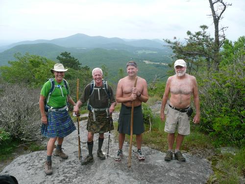
There as a nice bald at Scaly Mountain at 4808 feet of elevation. There was a slight descent and then more uphill (more than expected). Then we had a slight descent to Jones Gap. At 6.5 Miles we cam to Jones Gap. The trailhead at Jones Gap was the "early out" option, which two hikers took, as rain was all around us. Two of us continued to the end , and stayed dry the whole way.
After leaving Jones Gap we came upon a very well maintained section of the trail, which had information plaques that identified plants along the trail.
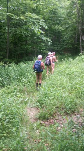
Then we came to a point with 5 miles still to go. The trail from hell. The trail was not maintained at all and was overgrown for most of the remainder of the hike. The trail was not visible for very long stretches and the sparsely placed blazes made this last part of the hike very difficult. Bushwacking was not on my agenda.
Every thorny bush, flower, and vine, that grows in North Carolina, was available to us here.
The last mile was of the hike opened up a bit on an old logging road . We arrived at the trailhead after 8 hours and 53 minutes on the trail.
Event photos (3)

Reactions
Log in to react to this trip report.
About this event
This hike will be on the Bartram Trail and will be 15.4 miles in length with an early out option at 7.2 miles.
This south to north hike is going to be a long one. Shortly after leaving Osage Mountain Overlook we will begin the ascent to Scaly Mountain (4804 ft.) I have heard that it is an easy ascent, but we shall see. The descent from Scaly Mountain will be steep in sections, but will have switchbacks as well as a couple of streams to cross.
4.4 miles into the hike we will arrive at Testatee Creek. A good bridge and water available here. Here the trail merges with a road for .2 of a mile. Trail then goes up old log steps to switchbacks (up and down) with great views. Switchback up to Hickory Gap where wooden sign reads Jones Gap and Osage Overlook.
At 7.2 miles we reach Jones Gap and a gravel parking area. This will be the "early out" option.
8.5 miles into the hike we shall come to a sign for Whiterock Gap (4150 ft.). Steven Creek is 900 ft. down a side trail from here. At 9 miles the trail splits, with the left trail going to Whiterock Mountain and Bartram Trail continuing to the right. Great views on both sides as we walk the ridges.
At 10 miles into the hike there will be a blue blazed trail up to Fishhawk Mountain.
At 12.7 miles we should reach an old school bus. More switchbacks and arrive at a sign that says "Buckeye Creek- 3 miles". Elevation here is 3390 ft. At 14.1 miles we move onto an old logging road and descend on it for 1.3 miles. Intersect Buckeye Branch Road and follow it for about .1 mile to the parking area.
This is a one way hike and will require and auto shuttle.
Plan on spending 10 hours on the trail.
We will meet in the morning at 8:00 AM at the Burger King in Franklin. We will be leaving for the trailheads at 8:30 AM sharp.
Make sure that you have plenty of water and food for the adventure. Hats are also recommended.
Who came along (3)
 GUEST MEMBER
  GUEST MEMBER
  GUEST MEMBER
Comments
Log in to join the conversation.