
Bartram Trail - AT Hike
Strenuous 10.5 Mile Hike, But Beautiful
The trip report
Written by dnaturist
The was a strenuous hike that was all up hill during the first half of the hike, which was on the Bartram Trail, to Cheoah Bald. This northern terminus of the Batram Trail stands at 5062 ft.
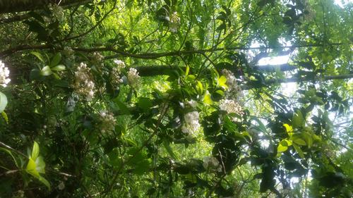
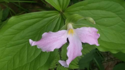
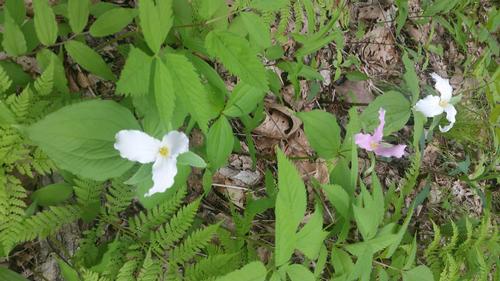
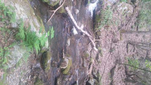
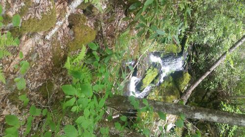
The Bartram Trail section of the hike was beautiful, with many different eco systems. Birch, hemloch and tulip trees. The mountain laural were in bloom on this trail and the rhododendron were beginning to bud. Fern covered valleys and mountain flower covered valleys.
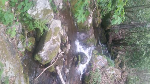
This section had many stream crossing, but we managed to keep dry feet.
The second half of the hike was on the AT and took us to Stecoah Gap. It was mostly downhill, but still had many hard uphil climbs. The AT was much more rocky than the Bartram Trail was.
We were on the trail 8 hours.
The featured photo is the view from Stecoah Gap, at the end of our hike.
Event photos (7)

Reactions
Log in to react to this trip report.
About this event
The hike will begin on the Batram Trail at the Winding Stairs parking lot on Hwy 19, We will travel north on the Bartram Trail to Cheoah Bald. This section of the hike will be about 5 miles and will pass Ledbetter Creek several times This section will have a steep ascent until we reach Cheoah Bald at the intersection of the Appalachian Trail. Cheoah Bald is also the western terminus of the Bartram Trail.
Cheoah Bald is the only 5000 ft. peak between the Nantahala and Little Tennessee rivers. We should have views of Nantahala and Snowbird Mountains , Wayah Bald, and possibly Standing Indian and Albert Mountians to the south.
We begin a 2000 ft descent from Cheoah Bald on the AT to Stecoah Gap. This section of the hike is about 5.5 miles in length.
This hike will require a shuttle, as this is a one way hike. We shall leave cars at Winding Stairs parking lot on Hwy 19 and at Stecoah Gap parking lot on Hwy 143.
Who came along (2)
 GUEST MEMBER
  GUEST MEMBER
Comments
Log in to join the conversation.