
The trip report
Written by dnaturist · last updated by edfarthing on May 18, 2018
Nice hike in the Cohutta Wilderness. About the first 15% of the hike was uphill to Flat Top Mountain which is the second highest point on the Benton MacKaye in Georgia at 3732 ft. The remainder of the hike was mostly downhill.
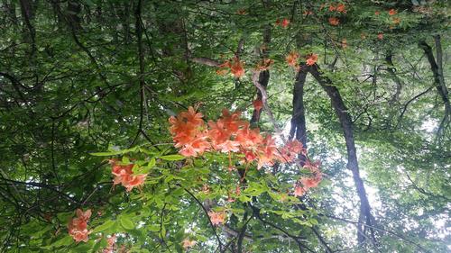
The flame azalea were in full bloom for the hike.
We had very nice weather and spent 7 hours on the trail.
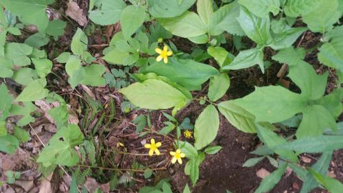
For some reason my flower photos are coming in upside down.
Event photos (2)
Reactions
Log in to react to this trip report.
About this event
This will be a north to south hike on the Benton MacKaye Trail in north Georgia. Trailhead parking for this hike is located at Dyer Gap and Bushy Head Gap. A shuttle will be required for this hike. We will leave cars at Bushy Head Gap and drive to Dyer Gap, where the hike will begin.
We shall start off with a steep climb up to Flat Top Mountain, which is the second highest point (After Springer Mountain) on the Benton MacKaye Trail. About 2 miles into the hike we shall cross 4 headwater streams that feed into the Jacks River. The descent will bring us to Halloway Gap at about 4.3 miles. At 6.3 miles we will come upon Fowler Mountain.
From Fowler Mountain the remaining portion of the hike (6.4 miles) should be easy, as it is mostly downhill. The trail will take us through Hartley Gap, McKenny Gap, and Hudson Gap before ending at Bushy Head Gap.
Plan to spend about 7 hours on the trail.
Who came along (2)
 GUEST MEMBER
  GUEST MEMBER
Comments
Log in to join the conversation.