
North Uncanoonuc Mountain Loop Hike
A fantastic hike up an urban mountain on such a picture perfect day!
The trip report
Written by Gandalf
From Manchester, a couple of small mountains that look like mirror images of each other [with the exception of multiple radio towers planted on the southern peak], always come into view. They are the north peak and south peak of the same mountain. Uncanoonuc, a Native American term named for women’s breasts, was given to those two mountains because of the how symmetrical they are to each other. These mountains have a decent trail network over each peak as well as a little history associated with it.
The southern peak, which has "probably the finest forest of communication towers in New Hampshire", as the AMC Southern New Hampshire Trail Guide puts it, used to actually have a trolley that ascended its northeastern slope. This railway has since been removed and is now a trail. There is a viewpoint to the Boston Skyline 51 miles away, although this can only be observed on a very clear day. There is also an auto road that does up to the top and open to the public. This summit is 1.321 feet.
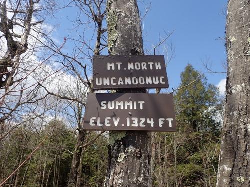
The northern peak has history as well. It's the first hike Jon and I did together...in the winter...with snowshoes! It remains less touched by man-made structures. The summit sits at 1,324 feet.
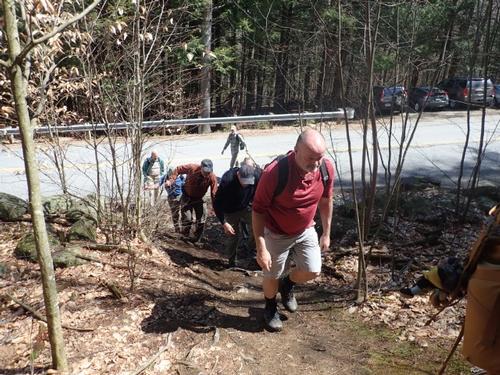
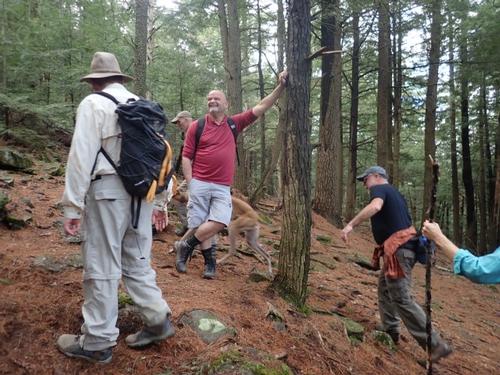
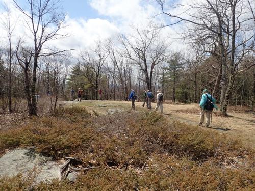
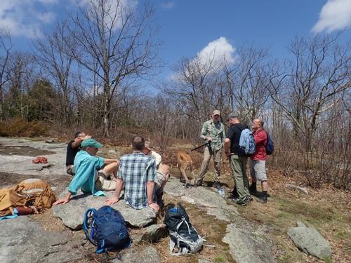
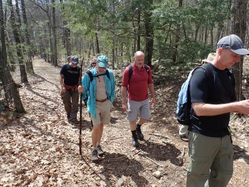
On Saturday, twelve of us set out for the summit of North Uncanoonuc Mountain along with Soleil, Rob's Greyhound. We decided to ascend the White Dot Trail. The trailhead fro the White Dot Trail was fairly easy to find. This trail ascends 700 feet in just 0.6 miles, so it was pretty steep the whole way up. The traihead parking was just off the side of Mountain Road in Goffstown, across from the trailhead. There is actually an Uncanoonuc Mountain kiosk after this parking area about .25 miles on the left [if driving from Goffstown].
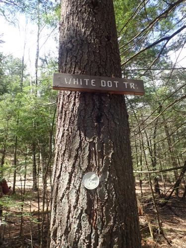
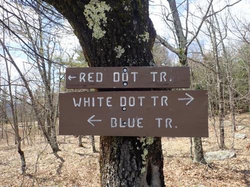
The White Dot Trail is marked with a trail sign, however, it is hung quite a few feet from the road in the woods, so it is not viewable from the roadside. The trail was blazed with white painted tin can tops, nailed to the trees. They were certainly easy to follow aned visible for a great distance in the woods.
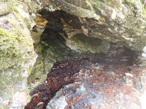
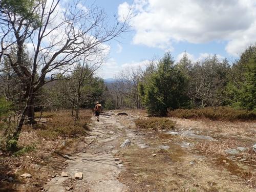
We found the trail to be steep. it started with a mixture of rocky sections and root exposed sections. Very soon after emerging into the woods, some very nice rock caves were on the left. They were certainly large enough for someone to spend the night in. You could build up on side of the cave with rocks it more of an enclosed shelter.
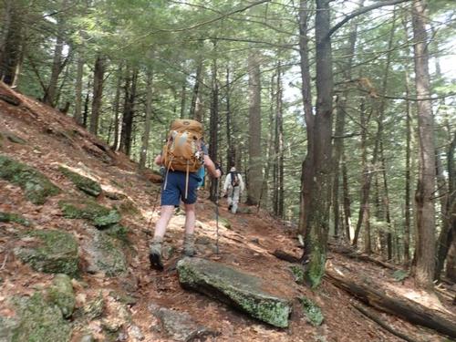
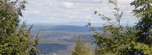
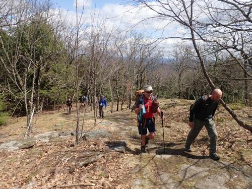
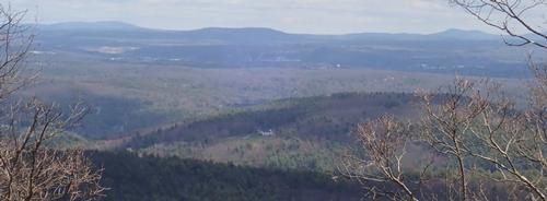
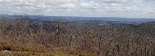
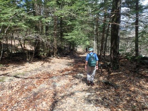
The trail continued on pretty relentlessly with its steepness. On the ascent we met a friendly women with her dog who was descending. Her dog and Soleil got certainly were happy meeting each other. We chatted with her for a bit and then continued straight up the mountain. The trail didn't do much turning or meandering through the hemlock filled forest. Near the top, at about 1,200 feet, the trail did start to level off a bit. The view behind us opened up to the north at a couple of points. We could see all the way to Kearsarge South and the Lakes Region Mountains. An eastern view opened up to the Pawtuckaway mountains and slight peek below into Goffstown.
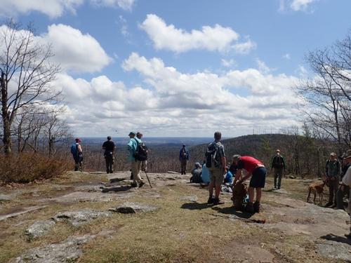
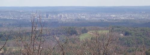
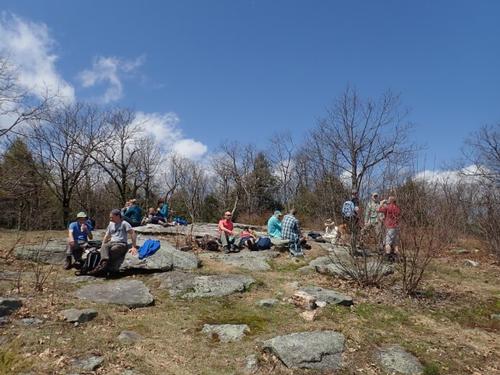
The summit was pretty wide and flat. There was an impressive view over to Manchester where we sat on a ledge for lunch. There were a number of people besides us on the summit...a family with their kids...and a few couples.
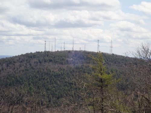
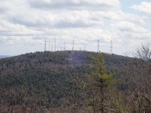
We could also see South Uncanoonuc Mountain peak. It was as we expected it to look, a huge forest of radio towers and antennas. Not the nicest view...but a view nonetheless.
After lunch and exploring the summit for a bit, we decided to make our way down the southern slope of this peak, taking the Red Dot/Blue Trail. We were in search of the Mount Monadnock view!
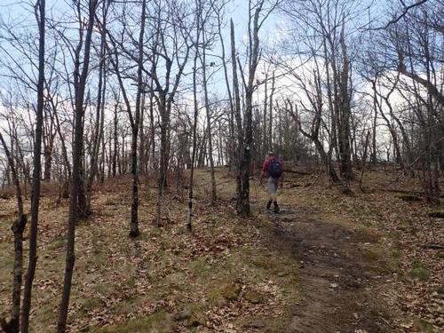
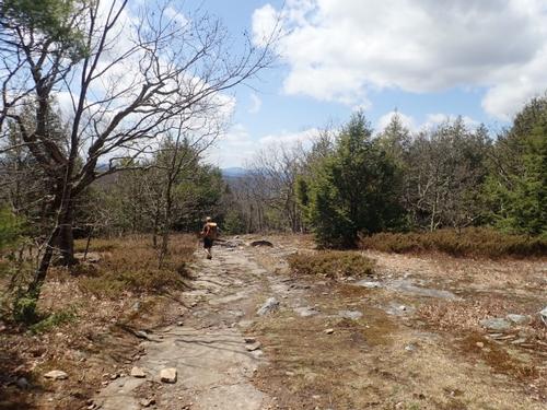
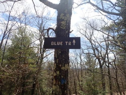
The slope down the southern slide was not steep at all. It was fairly flat. We continued down the path and the Red Dot Trail exited to the left and we kept going on the Blue Trail. Soon, both North and South Monadnocks came into view on the skyline. This was followed with Mount Monadnock a bit later. It wasn't the most wide open view, but nice regardless.
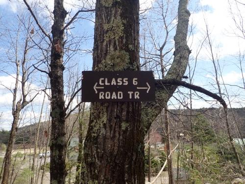
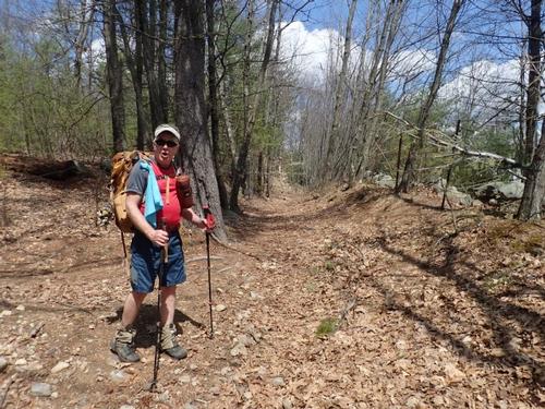
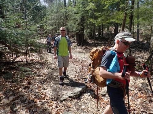
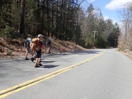
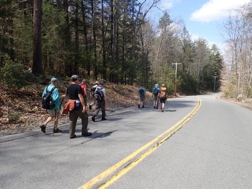
After snapping a shot of Mount Monadnock, we continued our descend down the Blue Trail which is less steep than the White Dot Trail. We then took a Class 6/snowmobile road. This brought us back to Mountain Road that we followed back to our vehicles to make this a loop hike.
We came out of the woods around 1:30pm. The impressive views of Manchester makes the effort worthwhile. We were able to explore some forest, got a little exercise, enjoyed each other's company, and the view to Mount Monadnock wasn't that bad either.
A fantastic hike up an urban mountain on such a picture perfect day! A really nice group of guys who made everyone feel welcomed. We are looking forward to members joining us on our other hikes in the White Mountains that is posted on the GO events calendar.
~ Mike and Jon
Event photos (30)
Reactions
Log in to react to this trip report.
About this event
Well known for being the closest mountains to New Hampshire's largest city, the Uncanoonuc Mountains (North and South Uncanoonuc Mountain) are known for completely contrasting each other. Uncanoonuc, a Native American term named for women’s breasts, was given to those two mountains because of the how symmetrical they are to each other. We will be hiking up North Uncanoonuc.
The ascent one way is only 0.6 mile hike but it is a steady and steep ascent! It’s going to be a workout. You will be gasping for air. We’ll take frequent breaks on the ascent for everyone to catch their breath.
Most of the trail is a ledgy path through hemlock woods. We will leave the parking lot and proceed up the White Dot Trail. At 0.1 mile we’ll encounter a remarkable rock overhang, which forms a cave. The trail continues steadily and rather steeply up until it hits a limited view at about 0.5 mile of Goffstown and on a clear day some of the distant northern mountains. At 0.6 miles the summit of North Uncanoonuc leads to an expansive view of Manchester, the largest city in New Hampshire. We’ll have relaxing lunch on the summit.
For the descent, we’ll take the blue trail, where there is a limited view of Pack Monadnock and Joe English Mountain. We might see Mount Monadnock. The blue trail ends at snowmobile trail to Mountain Road. We’ll walk down Mountain Road back to our vehicles to make this a loop hike.
Bring lunch and water; along with whatever else you normally carry for a day hike.
Distance: 2.2 miles
Elevation gain: 675 feet
Expected time: 2 hours 30 minutes
Who came along (11)
 SUSTAINING
  SUSTAINING
  SUSTAINING
  SUSTAINING
  GUEST MEMBER
  GUEST MEMBER
  GUEST MEMBER
  SUSTAINING
Comments
No comments yet.
Log in to join the conversation.