
FULL MEMBERS ONLY: Mt. Watatic Hike
We found spring peepers!
The trip report
Written by Cblaiz · last updated by Gandalf on Apr 22, 2018
Another great little hike with Mike.
Thanks Mike that was a great first hike of the season for me.
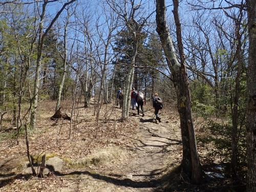
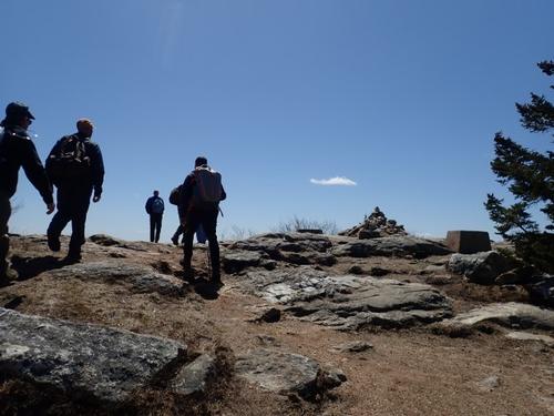
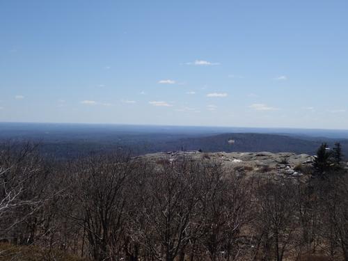
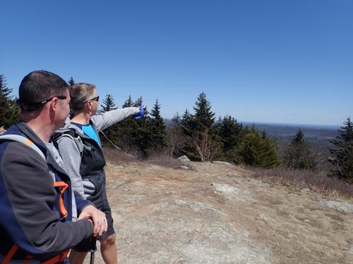
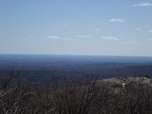
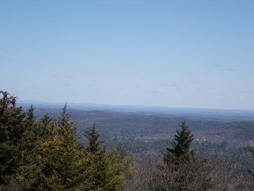
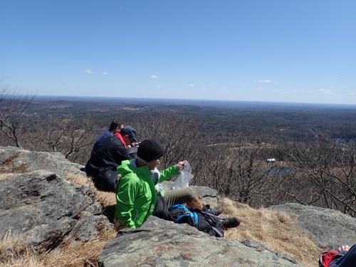
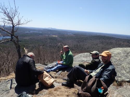
This hike was a nice easy to moderate hike with fabulous views at the top. We were able to see Manchester NH and the skyscrapers in Boston. Looked as though we could see 80-100 miles. The weather was great, a bit breezy on top.
It was awesome to see some old friends and meet new ones.
Thanks again to Mike and Jon.
Tony (Kayakhike)
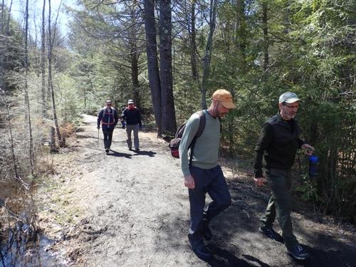
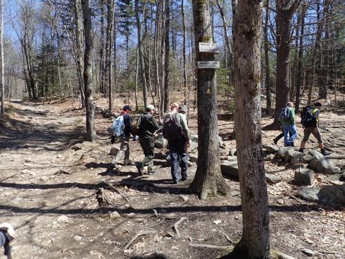
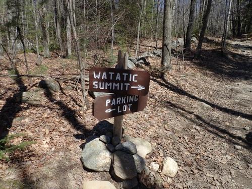
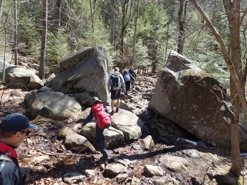
Event photos (35)
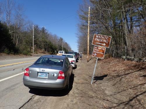

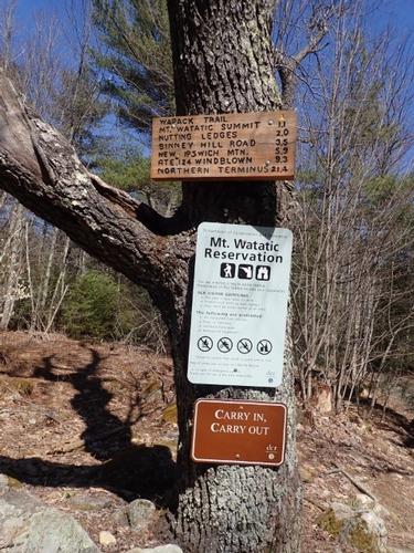
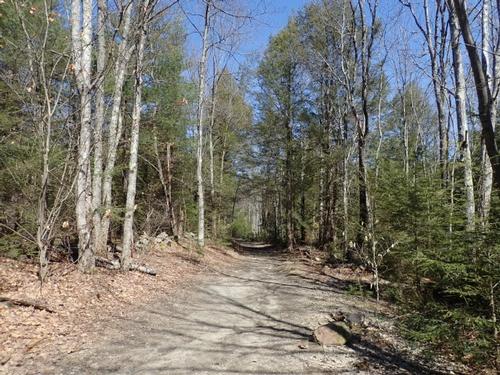
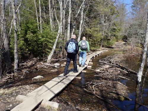



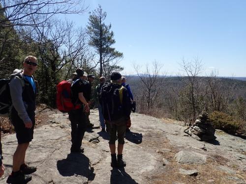
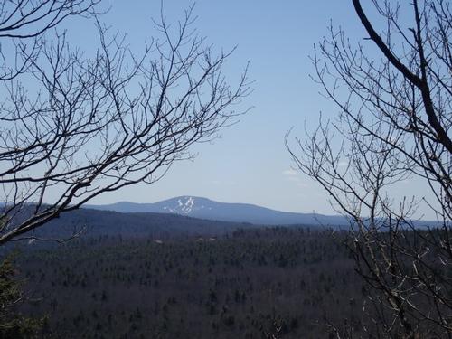
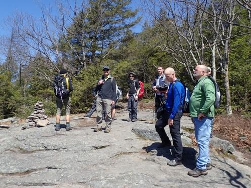
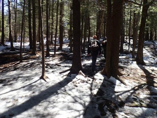

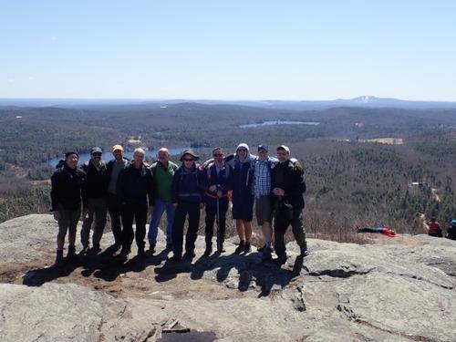

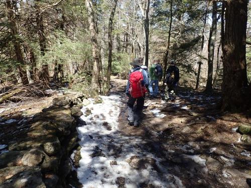

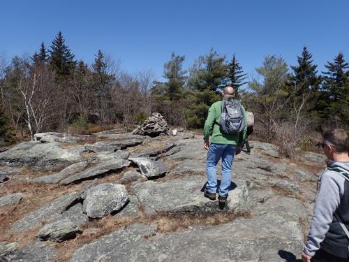
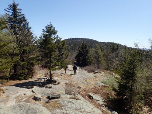
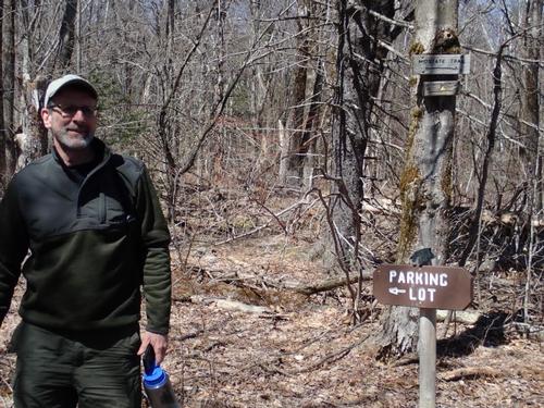
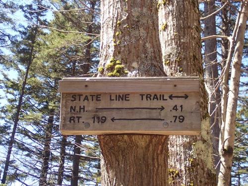

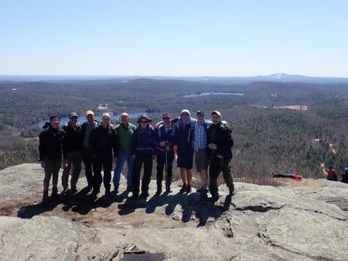
Reactions
Log in to react to this trip report.
About this event
Get to know our fellow sustaining members! One of the most popular hikes in Massachusetts, this mountain is very rewarding in terms of views!
Mt. Watatic [1832 feet] stands as the southernmost summit on the 22 mile Wapack Trail and lies just east of the end of the Midstate Trail.
We will leave the parking lot and proceed up the logging road until the trail takes a sharp right towards the summit. We will have some moderate sections. We will pass by some rocky sections where it will level out with good views towards Mt. Wachusett. After a short steep section, we will reach the rocky summit with excellent 360 degree views.
If we have a clear day, we will be able to see the skyline of Boston to the East. To the West, we should have clear views to Mt. Monadnock and North towards Pack Monadnock. After reveling on the summit, we will head Northwest on the trail across a couple of small summits. Moving down the Mid-State Trail we will return on a loop back to the parking lot.
Bring water and lunch; along with what you normally carry for a day hike.
Round trip distance: 3 miles
Elevation gain: 688 feet
Who came along (9)
 SUSTAINING
  GUEST MEMBER
  SUSTAINING
  SUSTAINING
  GUEST MEMBER
  SUSTAINING
  GUEST MEMBER
  GUEST MEMBER
Comments
Log in to join the conversation.