
Mount Agamenticus Trails
Our Mount Agamenticus adventure
The trip report
Written by MO
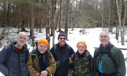
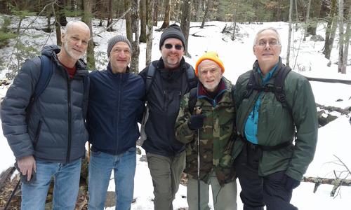
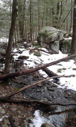
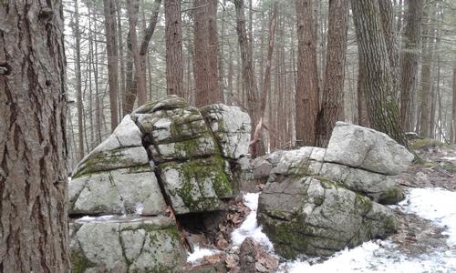
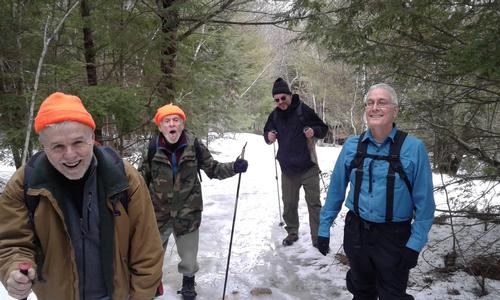
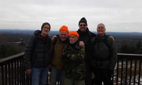
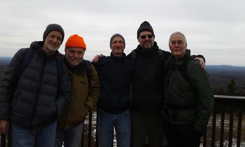
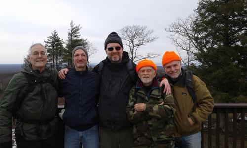
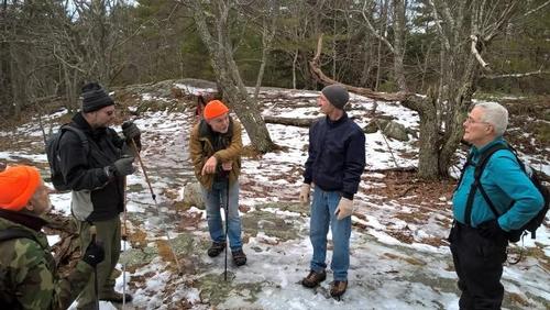
The weather was mild (40s) as six of us headed out for a 5 - 6 mile hike around and over Mount Agamenticus. We started out on the ring trail but then veered off toward outer trails to Second Hill. We eventually looped back toward the inner most trails to climb the mountain.
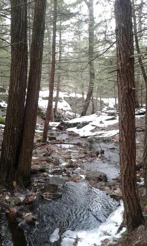
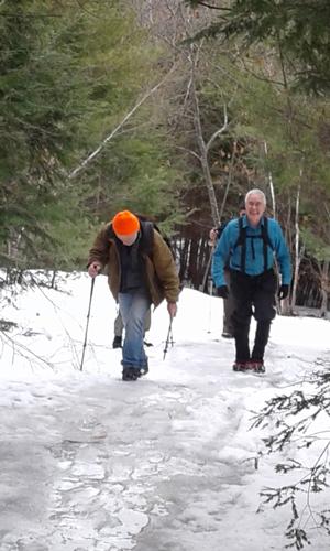
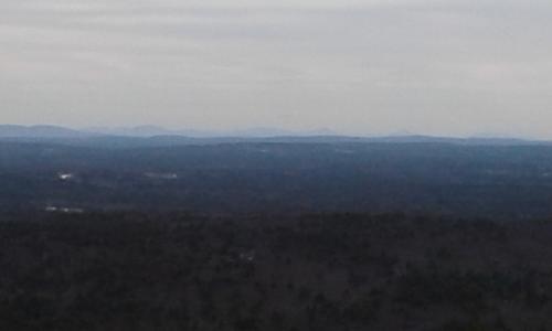
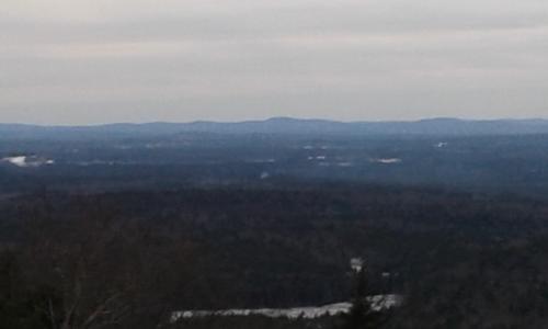
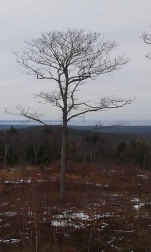
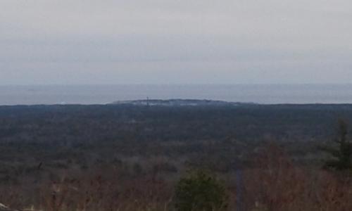
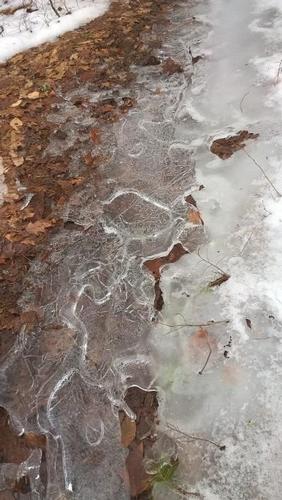
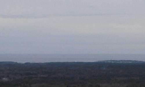
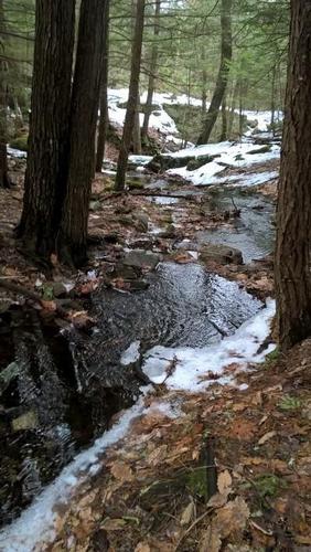
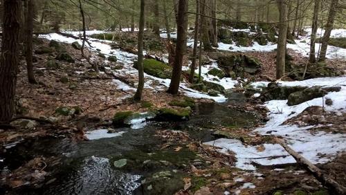
The more heavily used trails were icy. As we made our way onto trails less traveled we hit packed snow. The top of the mount was mostly bare. It was a cloudy day but, at the top, we still got decent views of the ocean (to the east) and western mountains.
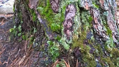
On our travels we were in search of the legendary, elusive, northernmost chestnut oak – which we failed to spot (there’s always a next time). We also were on the lookout for wildlife, especially on the outer trails, but failed to encounter much except for snow fleas - most people probably would not categorize these as wildlife :)
After our nearly 3 hour adventure we all headed to Ogunquit for a late lunch and a few pints (we had to drown our sorrows for missing out on the chestnut oak).
It was a fun day with great company and good conversation.
Thanks everybody for coming & making this a memorable excursion. We are all looking forward to future GO adventures.
Event photos (20)
Reactions
Log in to react to this trip report.
About this event
PROPOSED TRAIL ROUTE: Ring, Rocky Road, Porcupine, Ridge, Hidden, Porcupine, Chestnut Oak, Ring, Vultures View, Big A, Summit Staircase, Big A, Blueberry Bluff, Ring (actually the route is fairly easy to follow) .
Walking the 5 - 6 miles of trails should take under 3 hours. Afterwards let’s do lunch at a local eatery of the group’s choosing (maybe grab a bite around Ogunquit – about 5 miles away).
TRAIL MAP:
http://www.agamenticus.org/index.php/recreation-trails/trail-map
WEB SITE:
http://www.agamenticus.org/
MEETING LOCATION: We will meet in the parking area on Mountain Road. But if you can’t find parking there go down Mount Agamenticus Road which has several parking areas – then just walk back to the Mountain Road parking area.
Make sure to bring the following:
• Hiking footwear/boots - bring what you've got - stabilizers/micro-spikes/snowshoes – the trails are heavily used so they are packed down.
• Dress in layers
• Plenty of water
• A snack (lunch will probably be between 1 and 2pm - if you decide to join us)

Comments
No comments yet.
Log in to join the conversation.