
The trip report
Written by a former member
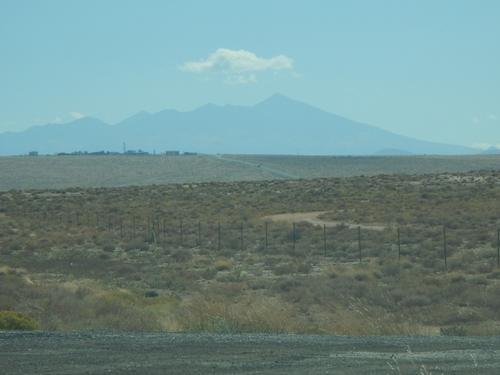
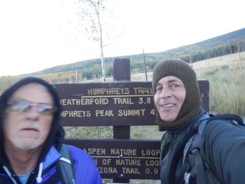
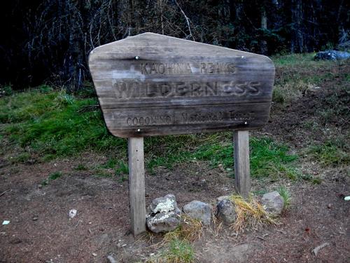
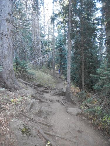
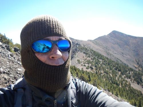
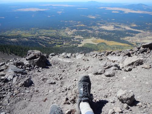
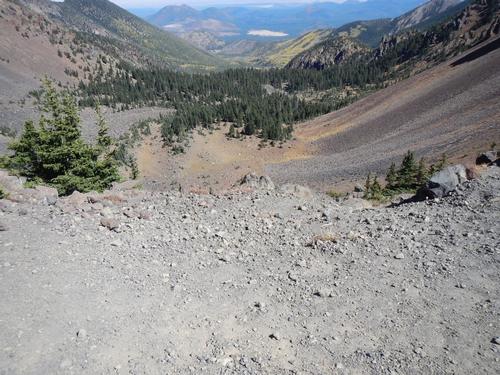
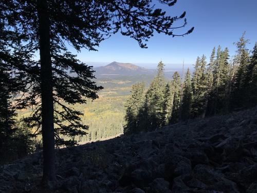
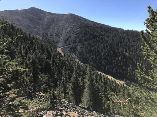
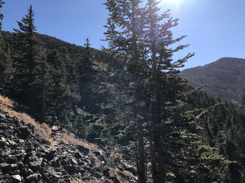
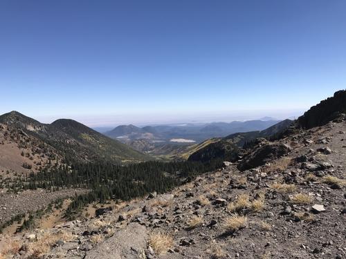
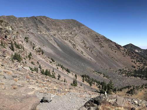
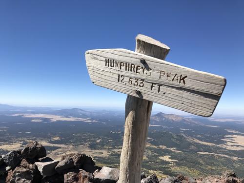
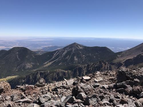
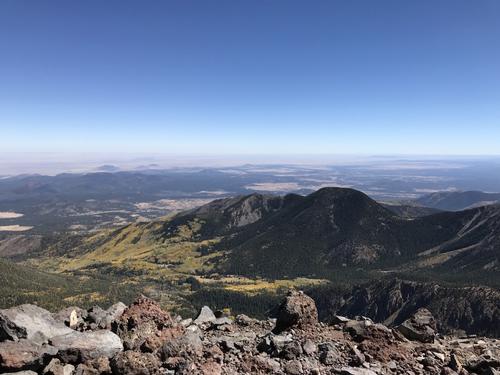
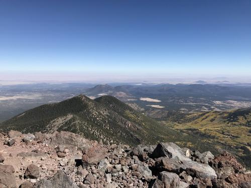
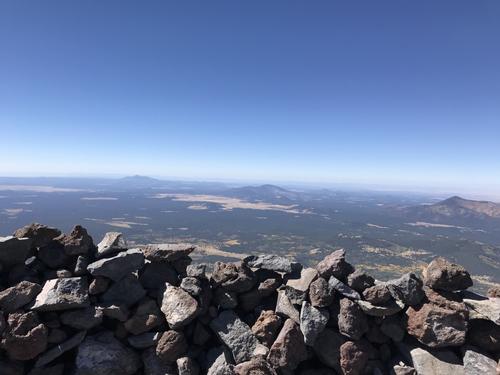
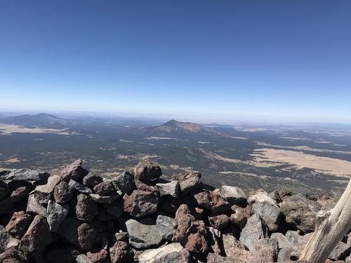
Humphrey's Peak at 12,633 ft. is the highest summit in Arizona. 2 of us made the trek, one of us made it all the way to the top. I want to extend a big thanks to John C. (blue jacket) for making the 150 mile trip from Phoenix to meet up for this hike 10 miles north of Flagstaff. John is a very experienced hiker & was good a hiking buddy. We did split about ½ way up as my flat lander skills were a poor match for hiking Humphrey's. John made it to the summit. I made is short of the 2nd false summit but broke the 12,000 ft mark. I was getting all the signs of altitude sickness (dizziness, headache, nauseousness) and stopped short of the top. The photos are a mix of both (John is also a very good photographer). We had dinner at the little restaurant at the foot of the summit in the cabins I was staying at.
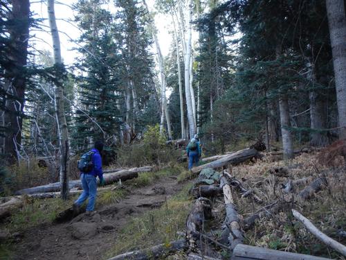
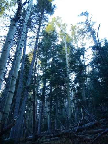
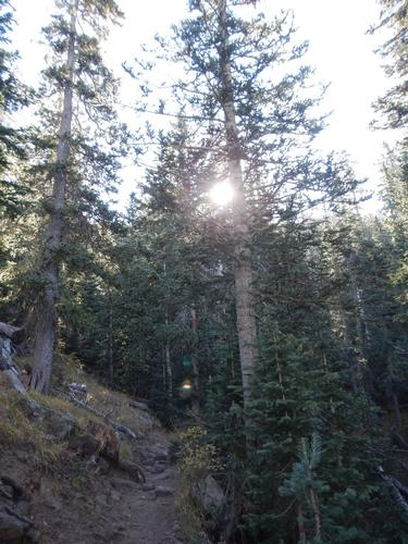
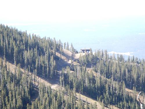
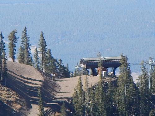
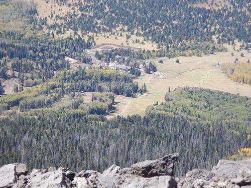
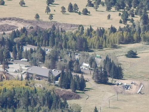
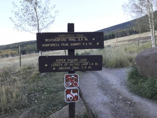
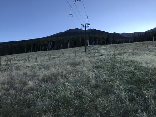
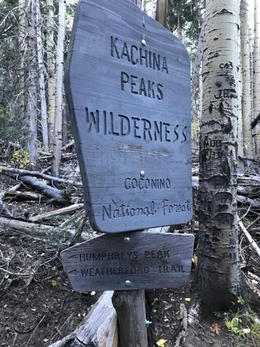
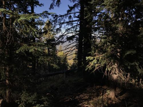
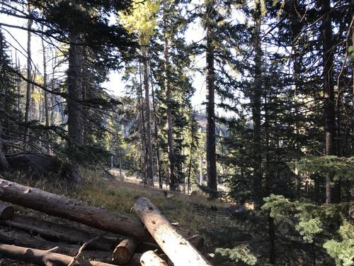
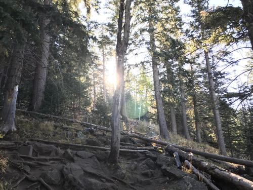
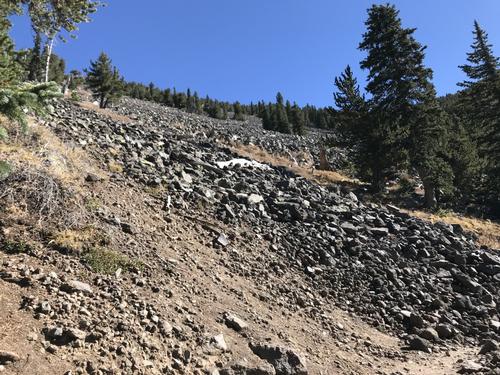
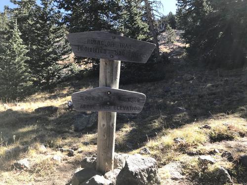
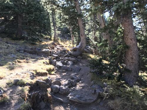
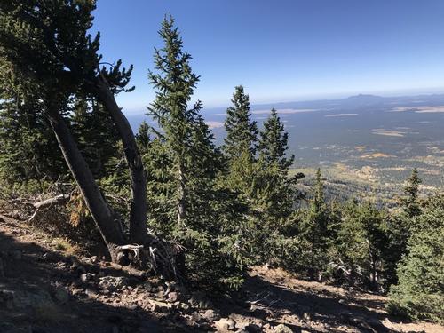
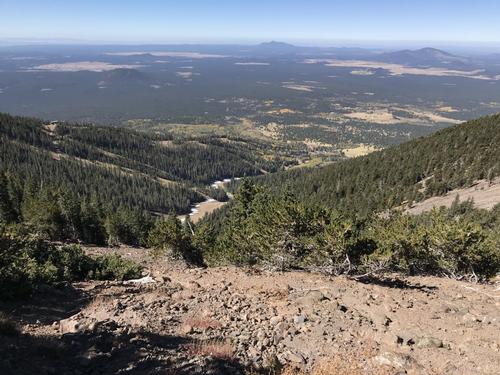
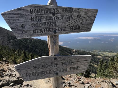
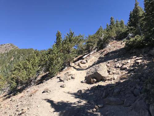
Humphrey's Peak is the highest of the San Francisco peaks in Arizona just north of Flagstaff. Named by the Spanish settlers. Their origin is believed to be volcanic eruptions many millions of years ago. The trailhead begins at the Arizona SnowBowl ski resort at roughly 9300 ft. The roughly 5 mile trek begins gently through meadows past one of the chair lifts. The trail quickly becomes rocky with lots of roots on the path. The tall short needle & long needle pines quickly take over as the altitude increases providing a wonderful whooshing of the ever present winds. It was 25 degrees at 7am. Although a sunny cloudless day the on-the-skin temps never felt above 40-ish. Winds were forecast 25+ with 45+ gusts at the tops. After a ascending most of the 3000 ft. of the trail one reaches delicate tundra & rocky dusty conditions. There are trail markers periodically but once or twice I actually could not determine the continuation of the trail. Although some of the hike was solos we had a fantastic trip. We recommend to anyone looking for a thrilling challenging adventure.
Event photos (41)

Reactions
Log in to react to this trip report.
About this event
I HAVE MADE TRAVEL ARRANGEMENTS FROM FORT LAUDERDALE TO PHOENIX 9/26 THROUGH 10/5/2017. I AM PLANNING THIS HIKE ON TUESDAY 10/3 AS I HAVE PLANS TO VISIT AND DAY HIKE THE NORTH RIM KAIBAB TRAIL OF THE GRAND CANYON THE WEEK BEFORE. I REALIZE TUESDAY IS AN ODD DAY BUT IN ORDER TO VISIT SEVERAL PLACES IN A 10 DAY TRIP - SCHEDULING A WEEKEND WAS NOT POSSIBLE. I HAVE EXTENSIVE EXPERIENCE DAY HIKING ALTHOUGH IT'S BEEN MANY YEARS I'VE TACKLED 3000 FT. ELEVATION. I FEEL READY FOR THIS AND PLAN TO START EARLY - KEEP HYDRATED - NOT RUSH AND I BELIEVE WEATHER PERMITTING WILL BE A FABULOUS JOURNEY.
I'VE PUT 6:30 AM AS THE MEET UP TIME WITH PLANS TO BE ON THE TRAIL BY 7AM IN ORDER TO MAKE THE ESTIMATED 9-10 ROUND TRIP INCLUDING RESTS.
I WILL BE STAYING NEARBY TO THE WEST IN A PRIVATE CABIN. ONCE AND IF FOLKS SIGN UP WE WILL COMMUNICATE DIRECTLY FOR MEETUP AND ARRANGEMENTS.
The summit of Humphreys Peak is the highest elevation in Arizona at 12,633 feet and one of the scenic peaks among the San Francisco Peaks. It is located just north of Flagstaff, Arizona. All of the peaks are considered sacred by the local Native American Indian Tribes and consider it a place where earth meets heaven.
Getting to the trail head is easy and what is a mild beginning with meadows of wild flowers will eventually become a difficult and strenuous climb. A warning.....keep your eye on the sky. At this altitude, weather can suddenly become violent with storms that can bring strong winds, heavy rain, lightning and snow. Be prepared to turn around and trek back to lower elevation when thunderstorms occur and always be ready for bad weather conditions.
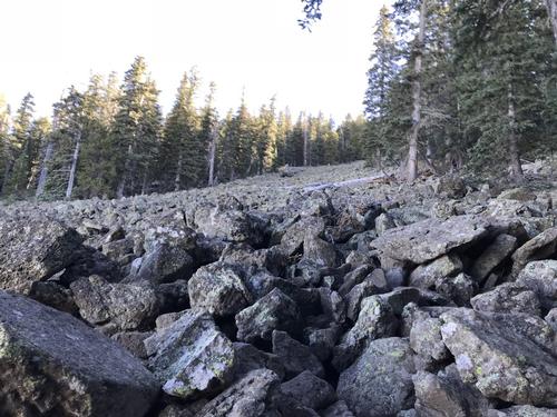
Along its 4.5 mile course, a thriving alpine forest streaked with huge rock slides and avalanche tracks hugs the mountain's slopes. Scenic Hart Prairie stretches out the base of the incline and on clear days the Grand Canyon is easily visible on the horizon.
The trail is steep with a quick 3,333 foot elevation gain and becomes very rocky at it's higher reaches. The trail begins with wild flower covered meadows before reaching a dense forest of aspen, fir and spruce trees as it reaches the saddle connecting Humphrey's Peak with its sister peak, Agassiz.
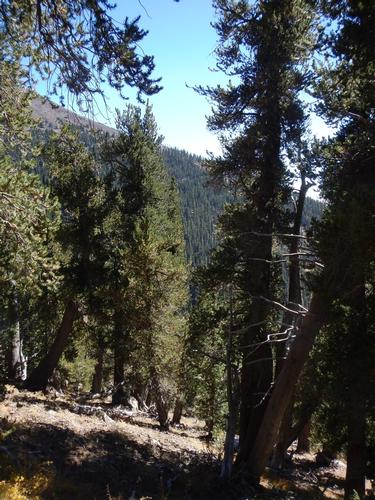
Near the tree line, the thick forest is quickly left behind and replaced with bent and twisted bristlecone pines and plants that can only survive in tundra conditions. Those that have never hiked Humphrey's Trail can expect to reach three false summits before being rewarded with views from Arizona's highest point.
Hiking Safety
Humphreys Trail is considered strenuous and difficult. The air is quite thin at high elevation. Hikers should be healthy and in good physical condition. Do not hike alone unless you are a seasoned experienced hiker. Expect the 9-mile roundtrip to take 8 to 10 hours depending upon hiking speed and number of stops.
Trail Quick Facts
Trail Length. 4.5 miles one way to summit
Elevation Range. 9,333 to 12,633 feet
Elevation Gain. 3,333 feet
Summit Peak. 12,633 feet
Trail Rating. Strenuous
Hiking Time. 8 to 10 hours
Hiking Volume. Moderate to heavy
Hiking Season. Late spring to fall best times
Winter Permits. Are required
Camping. No camping above tree line
Stay on the trail
Comments
No comments yet.
Log in to join the conversation.