
Gulf Hagas Loop Hike
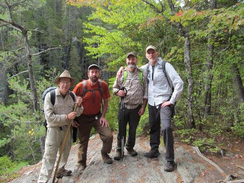
A Spectacular Fall Hike into the Gulf Hagas with Jim, Robert and Woody!
The trip report
Written by shep5
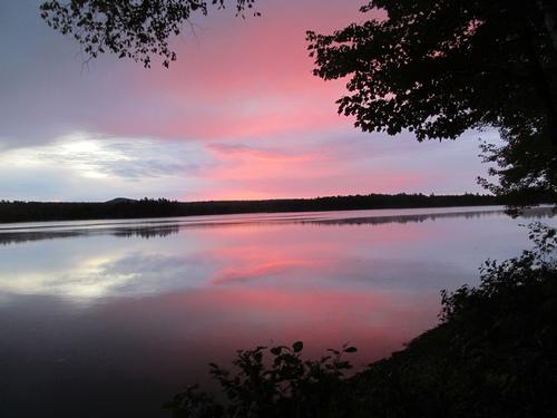
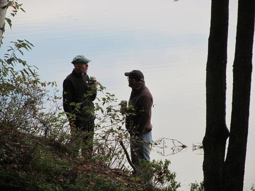
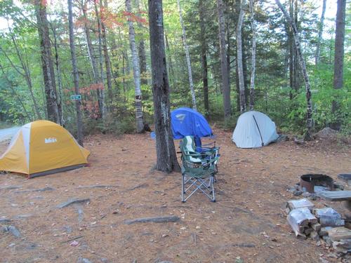
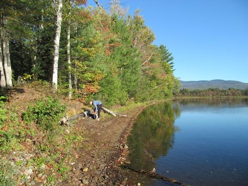
As all the participants, came from out of state, we were all camping along the Katahdin Iron Works Road (KI Road). I had previously reserved the Silver Lake 1 site, which sat right along its shores. It was already dark when I arrived at about 7:30PM. Woody came in a short time later and Jim and Robert showed up after nine, when the gate is locked. Luckily, there was cell service up in the area and I was able to contact them and meet them on the other side of the gate, so that we could transfer them and their belongings up to the site. Jim and Robert had been slowed up along the KI Road due to a couple of moose in the road. I had already set up camp and built a campfire prior to their arrivals, so after we were all together and everyone had set up, we hung out around the fire until about 11, when everyone turned in for the night.
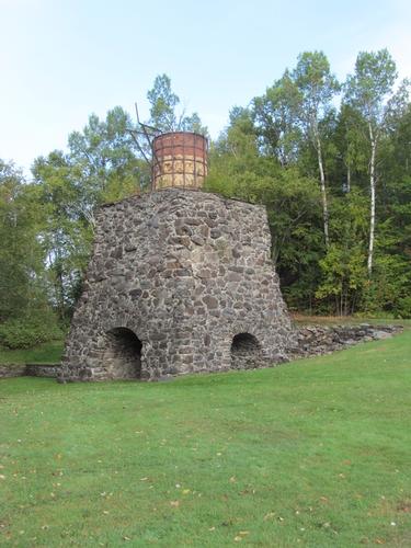
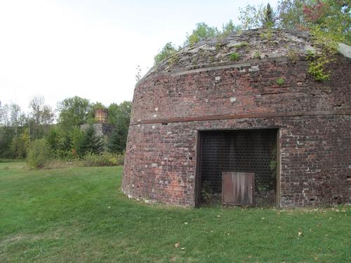
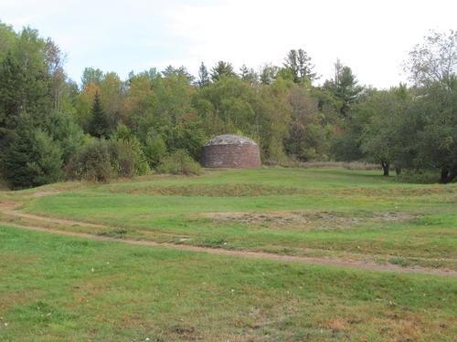
In the morning we awoke about 7AM and a short time later Robert, Jim and I retrieved their vehicle from the gatehouse and had them registered. We then had our breakfasts back at camp. At 8:30 I headed back to the gatehouse in case anyone else signed up at the last minute...there was noone, but since their was no data service up there, I couldn't check the website or my email. While I was waiting though, I checked out the old Katahdin Iron Works historical site, which was quite interesting considering how busy this area was at one time (mid to late 1800's).
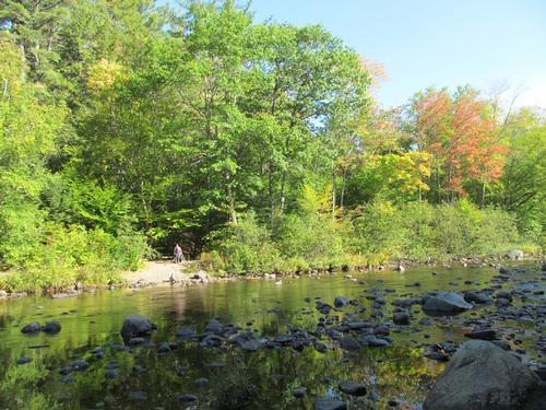
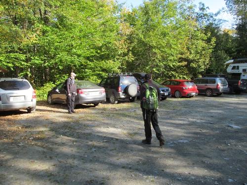
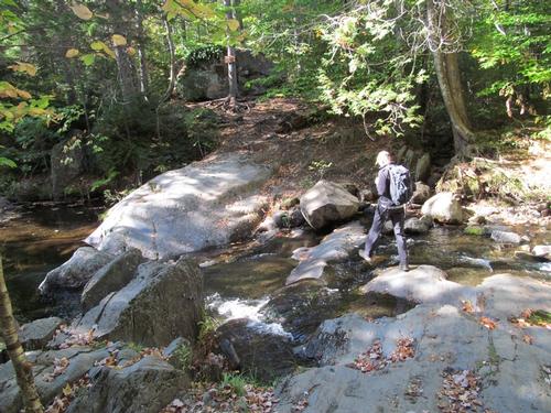
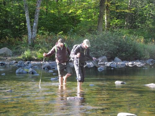
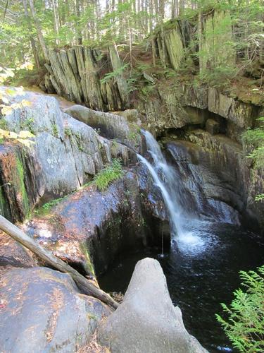
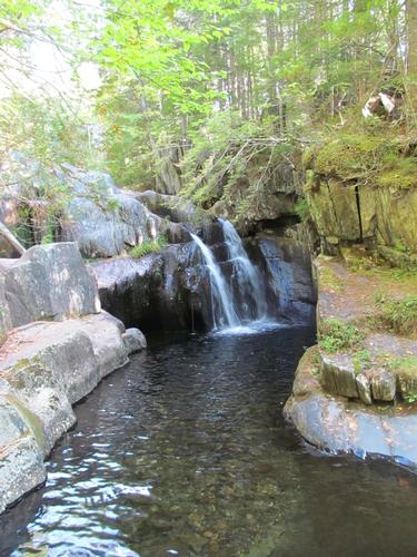
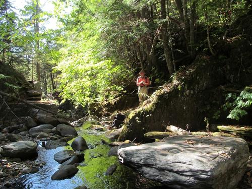
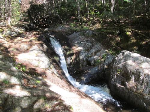
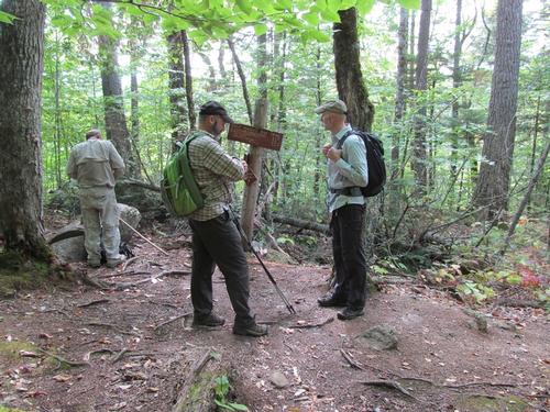
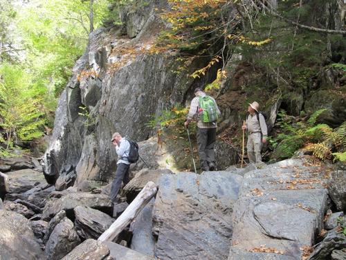
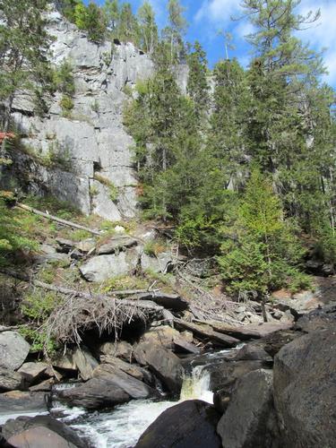
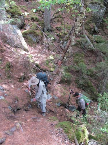
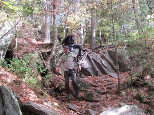
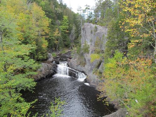
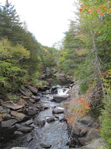
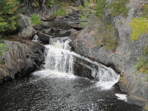
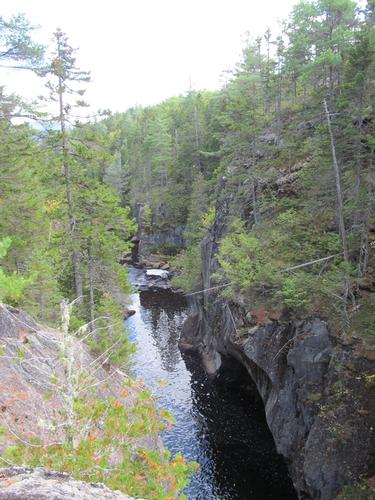
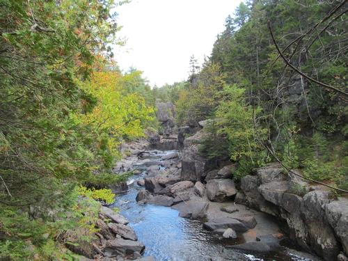
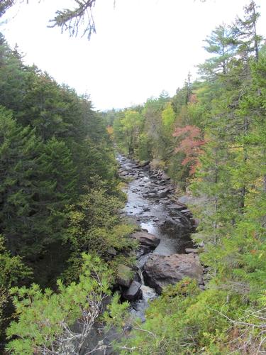
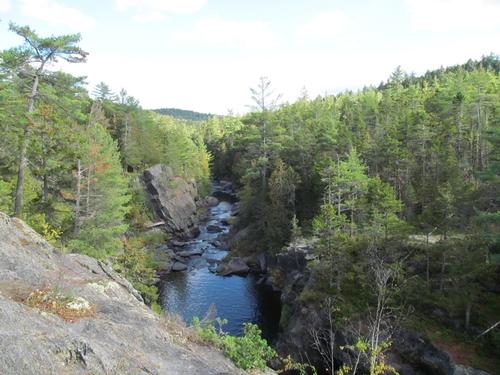
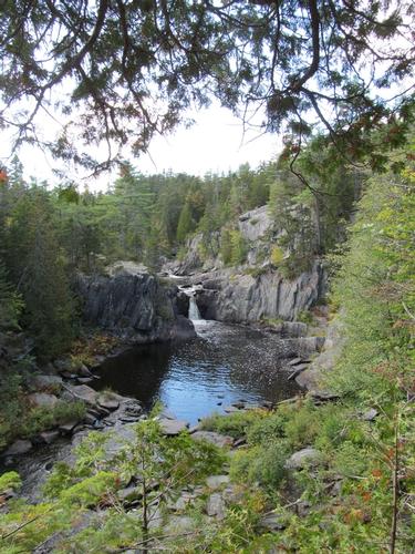
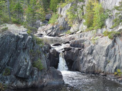
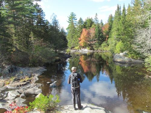
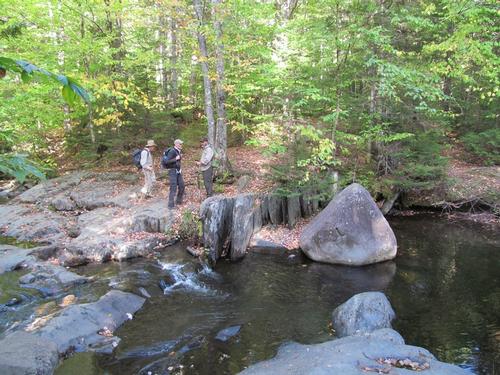
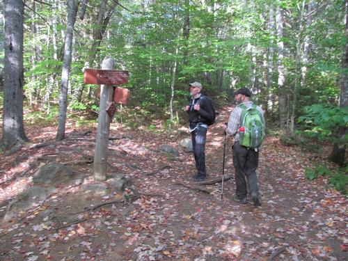
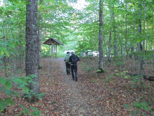
A little after 9AM we carpooled up to the trailhead for the Gulf Hagas. The parking lot was about another 5 miles down the KI Road and we arrived by 9:30. The small lot was already full with some cars parked along the roadside. We got ready and headed for the trail. The day was starting out on the chilly side with sun and periodic clouds. After starting out it was only about 5-10 minutes before we were standing on the shore of the West Branch Pleasant River, where the trail meets up with the Appalachian Trail (AT). The river ford was cold, but the water was just over ankle-deep, so it was reasonably easy to do. On the other side of the river, we met up with a AMC trail steward, who was playing his guitar and was there to answer people's questions and to prepare thru-hikers for the requirements of Baxter State Park (this point was 90 miles from Baxter in the remote 100 Mile Wilderness...the last stretch of the AT). We continued along the AT as we entered the area known as the Hermitage, an old growth forest. This trail climbed modestly up to a crossing of the Gulf Hagas Brook, which we reached at 10:30. Here we left the AT and proceeded on the Rim Trail. It wasn't long before we came to the beautiful Screw Auger Falls. This falls dropped in two dramatic sections. We also took the short spur trail to the lower portion of the falls. As we continued along the Rim Trail, it was about 11:15 when we reached another short spur trail for the Hammond Street Pitch, which provided a view into the Gulf. A little further up the Rim Trail there was another spur trail out to a view. The view was nice from a ledge along the trail. Following the trail we could descend to the bottom of the Gulf and there we got a good look at the sheer granite walls of the canyon. Upon our re-ascent we encountered a large group of kids from Brewer High School out on an annual outdoor adventure program (the prior evening the kids had been dropped off in the woods and had to find their way back to their camp).
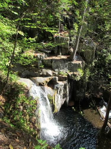
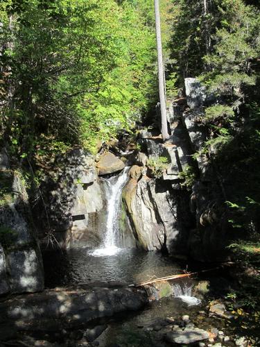
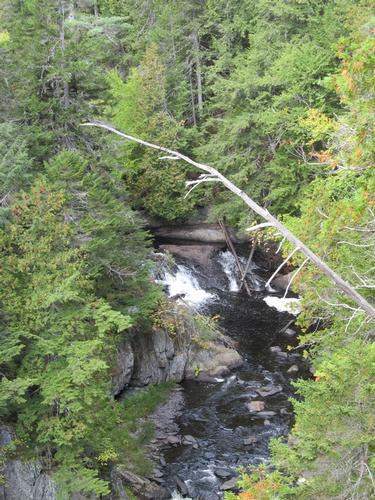
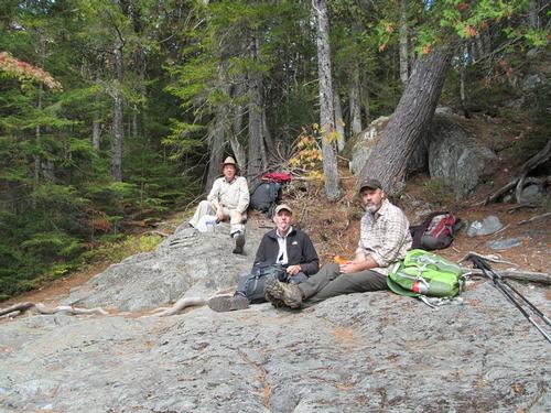
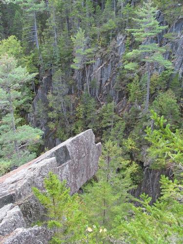
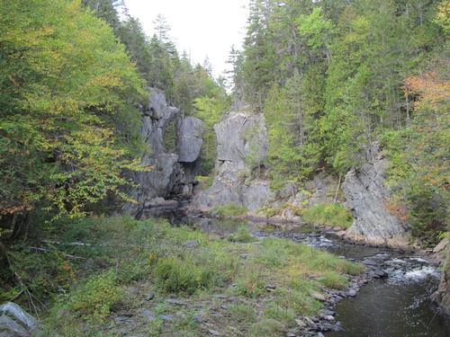
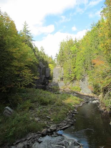
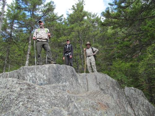
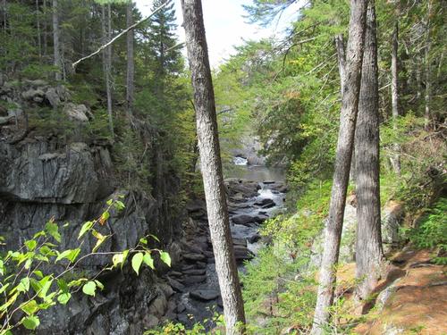
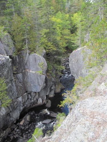
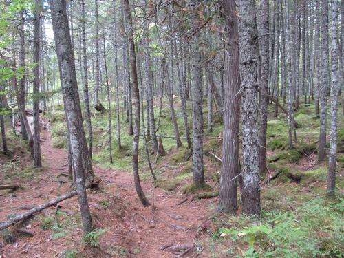
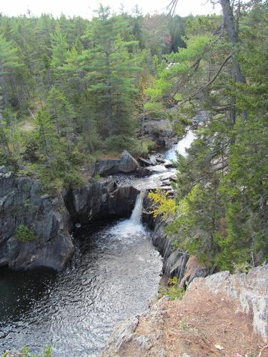
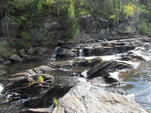
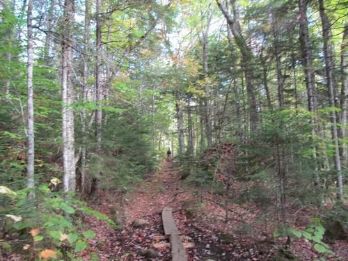
We continued further north along the trail and came to a ledge overlooking the Gulf. It was 12:15 and we decided to take a lunch break here. It was interesting, that the last time I was here, there was a great view of a rock that juted out from the cliff. The trees had grown up around this and it was not as prominent as it once was. After lunch we descended to the river level again, where there was a great view up to the Jaws, a very narrow slit in the canyon. From this point, we re-climbed up to the rim and in just a few minutes we encountered a ledge right over the Jaws. The next point of interest was Buttermilk Falls, which we reached by 1:45. There were views of this beautiful falls from a ledge along the Rim along with additional views from a short spur trail down along the river's edge. As we followed the Rim Trail there were numerous ledges, which looked down on the river and its sheer granite walls. About an hour later we reached a ledge with the first of several views looking down on the wonderful Billings Falls. We continued along the trail and were constantly rewarded with views over the Gulf. At 2:50 we reached Stair Falls and a short time later we reached the Head of the Gulf with its more placid waters. We followed the trail further to its junction with the Pleasant River Tote Trail. We turned onto this trail for our return. It was 3PM and this trail was more level, as it paralleled the Rim Trail in the woods (there were a couple of cut-off trails back to the Rim Trail to make smaller loop hikes). At 3:50 we once again met up with the AT and followed this back to the Pleasant River crossing. After fording the river again we were back to our vehicle by 4:30.
Afterwards, we headed back to our camp, cleaned up, got dinner and enjoyed another campfire. It was worth noting that despite the cold evening temperatures (mid-30's), Robert did take a short swim in the lake before dinner! What a crazy man! By about 10:30 we turned in for the evening.
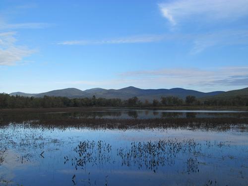
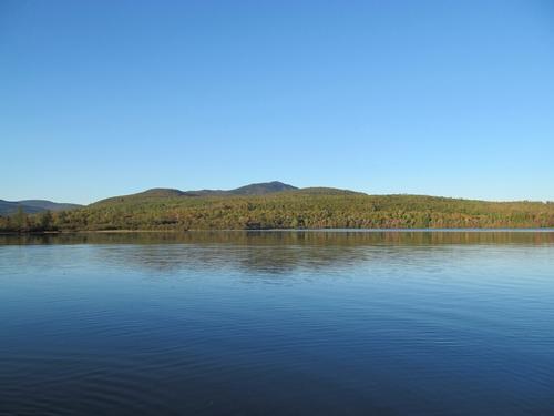
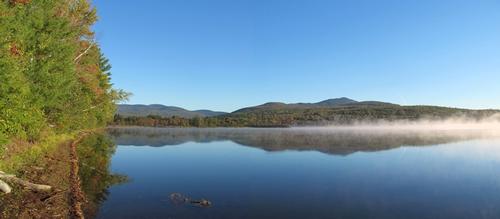
On Sunday morning, we awoke to another chilly day with fog over the lake, which began to lift by 7:30AM. We broke camp, got breakfast and by around 8:30 we headed out.
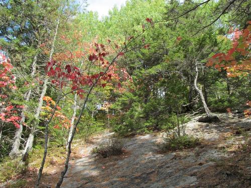
What a great weekend and trip into the Gulf Hagas! Despite the fact that the fall color was muted and not quite there yet, it was a beautiful fall hike into one of Maine's more unique wilderness areas. Thanks to Jim, Robert and Woody for driving up to share the experience!
Event photos (54)

Reactions
Log in to react to this trip report.
About this event
Join me for a colorful fall loop hike through one of Maine's most spectacular natural wonders. This is a FAVORITE hike from years past! The Gulf Hagas area is part of the Appalachian Trail corridor located 60 miles northwest of Bangor. It is also within the Hundred-Mile Wilderness, which is considered to be the wildest and longest wilderness section on the AT. Often called the "Grand Canyon of the East", the Gulf Hagas is a deep, fairly narrow canyon which runs for about 4-5 miles with steep granite walls towering at up to 400 feet above the river at times. The Rim Trail offers five outstanding scenic areas along the hike: Screw Auger Falls, The Jaws, Buttermilk Falls, Stair Falls and Billings Falls, on the West Branch of the Pleasant River. In addition to the incredible beauty of this canyon, fording knee-deep, swift water at the beginning of this hike is one of the challenges and highlights of this trip.
ENTRANCE FEE: As the Gulf Hagas lies within privately-managed timber land, there is an entrace fee to the area. This is $9 for Maine residents and $14 for non-Maine residents. NOTE: They only accept cash or check.
Total Distance and Elevation Gain: Roughly 9 miles with less than 1000 feet in cumulative elevation gain.
Total Time: Approximately 7 hours depending on breaks and group's speed. This will be a leisurely hike.
Harsh weather may postpone to another date or cancel, as appropriate, particularly since fording the river after heavy rains may be very dangerous.
Camping Option: I will be reserving a camp site along the Katahdin Iron Works Road for Friday and Saturday nights. Contact me, if you wish to share this site. NOTE: This is NOT a campground, we will have to fit into one or possibly two adjacent sites along the road.
Friday Night Accommodation: IF YOU ARE NOT CAMPING AND ARE PARTICIPATING IN THIS HIKE, I highly recommend seeking accommodations in the Old Town/Orono area the night before (due to its distance from just about anywhere). From this area, it will still take a little over an hour of travel in the morning.
Carpooling: I encourage participants to meet up at an agreed-upon location and carpool together, given the distance. Contact other participants, if you wish to coordinate a ride share.
What to Bring: Typical summer/fall hiking gear should be appropriate: convertible hiking pants/shorts, good sturdy hiking boots with good traction and thick socks, a windbreaker/raingear. Also bring along lunch, snacks and plenty of water (at least 2-L). Optionally, pack sunscreen and anything else that you may require for a day hike.
Afterwards: Whether you are camping or not, you are free to relax and have dinner at the campsite afterwards. This will be coordinated beforehand.

Comments
Log in to join the conversation.