
Wild River Wilderness Backpack
A fun and beautiful backpack trip into the Wild River Wilderness from the Moriah Ridge!
The trip report
Written by shep5
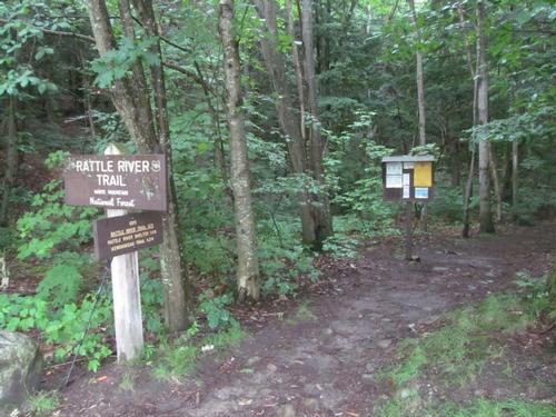
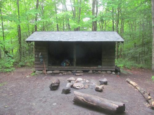
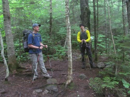
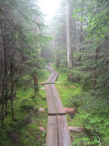
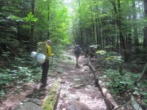
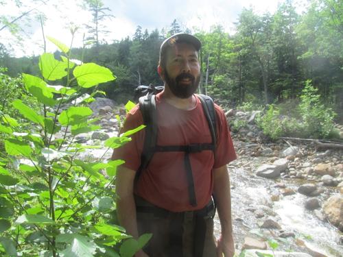
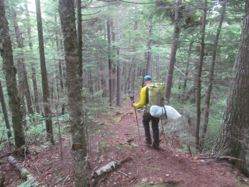
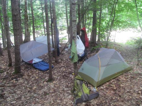
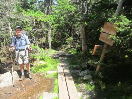
Martin, Richard and I met up on Friday evening at the end of Bangor Road in Gorham at roughly 6:45PM. We left a car here and carpooled over to the Rattle River Trail (AT) on Route 2. We got ready and by 6:55 we started up the trail. It was cool (50's), but humid and the skies were mostly overcast. The trail was moderate in grade and by 7:30 we passed the shelter, which was already full with a number of tents set up nearby. We continued on and began to look for a suitable spot in the woods to spend the night. It wasn't until we reached the last significant crossing of the Rattle River that we located a spot near the trail, where we could camp. This was approximately 3.0-3.5 miles in and it was around 8:20. We set up and made our dinners before turning in for the night (9:30PM). Despite the forecast there had been virtually no rain overnight.
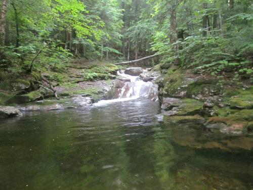
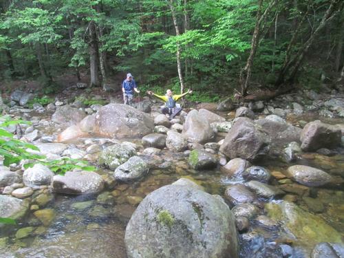
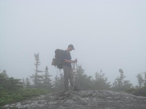
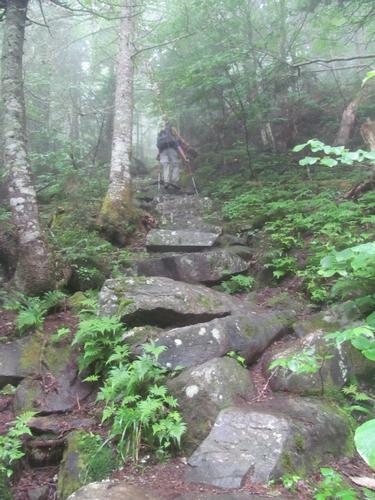
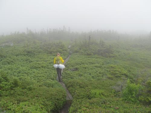
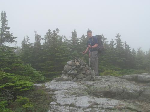
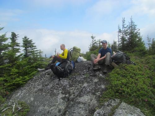
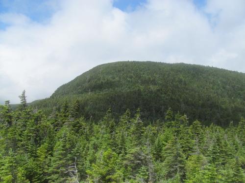
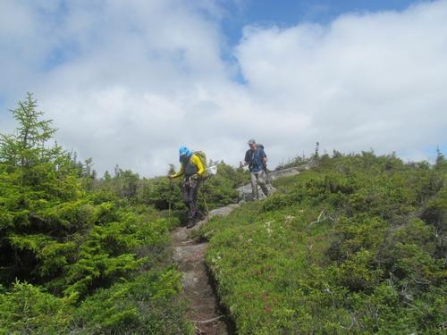
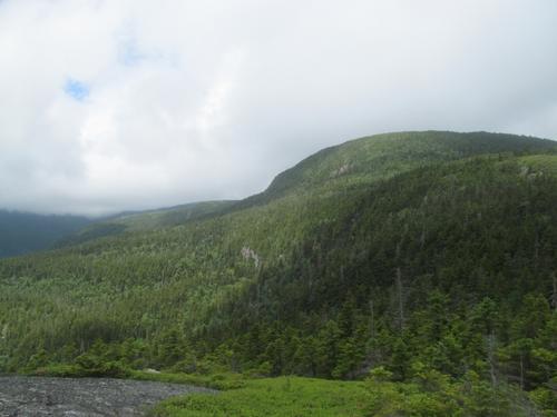
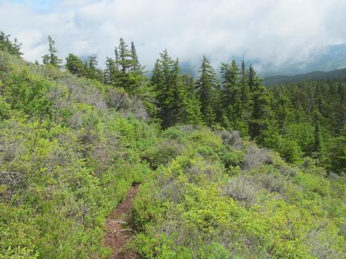
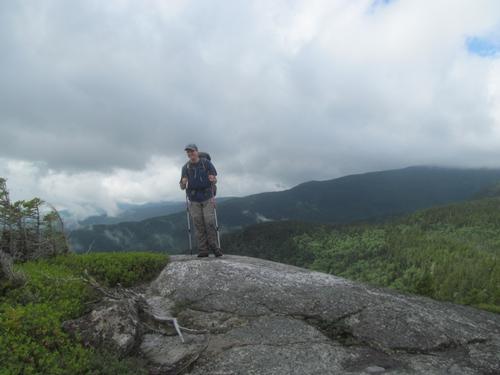
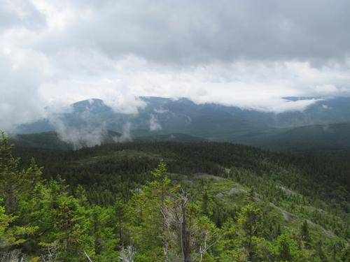
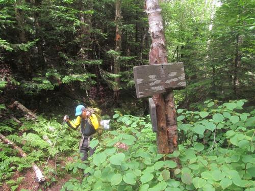
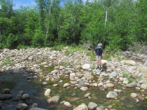
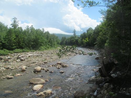
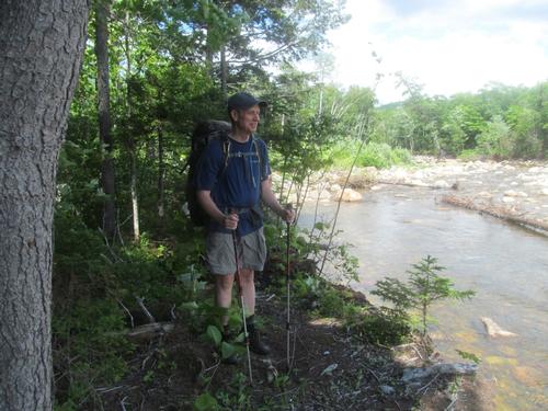
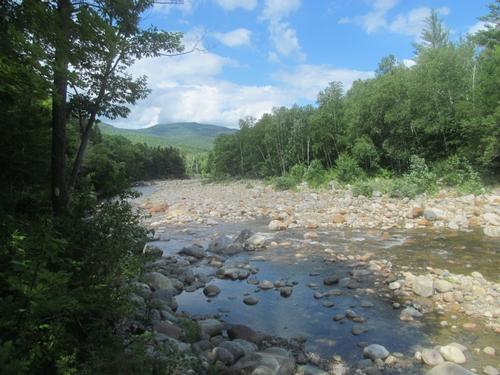
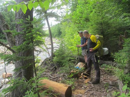
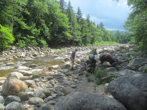
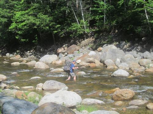
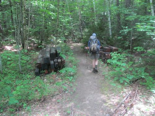
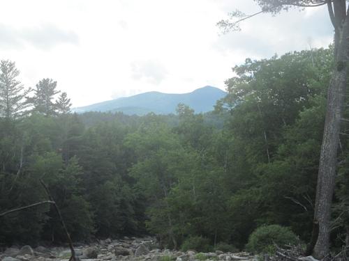
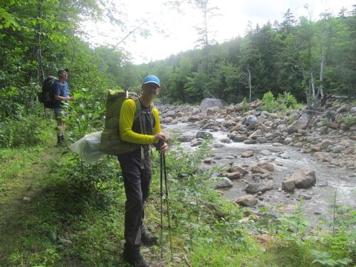
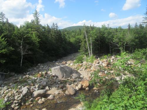
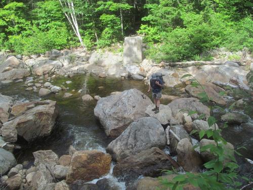
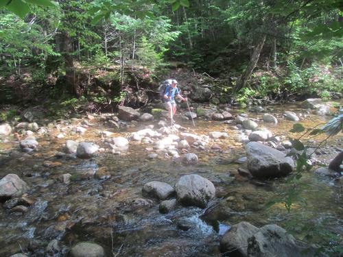
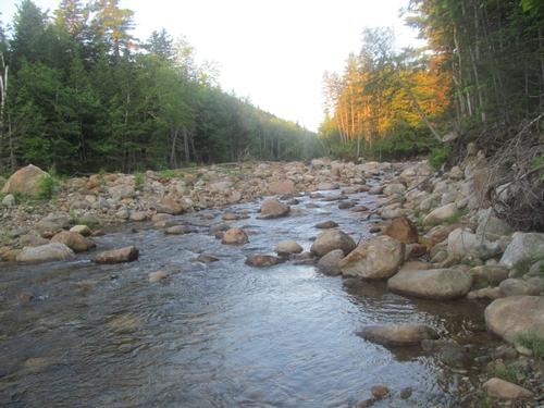
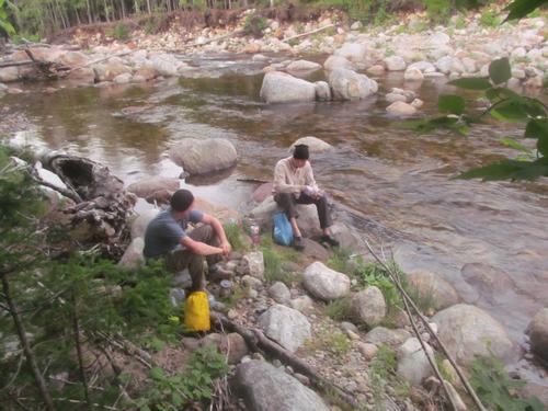
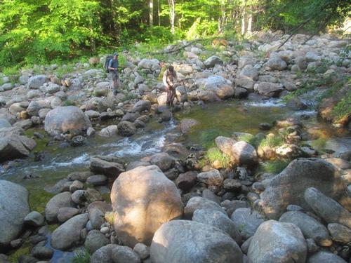
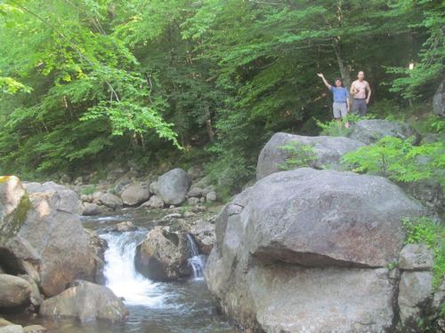
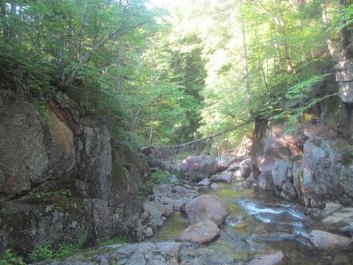
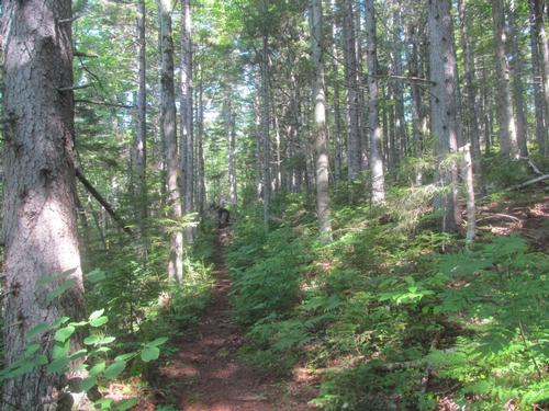
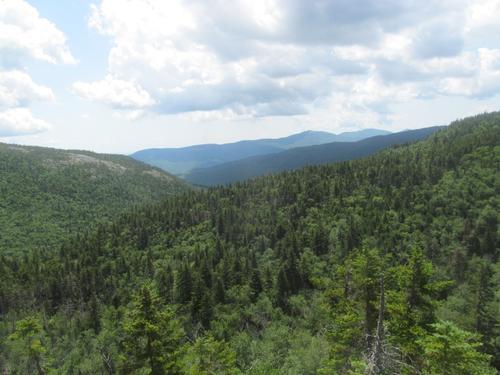
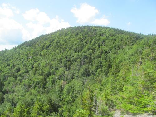
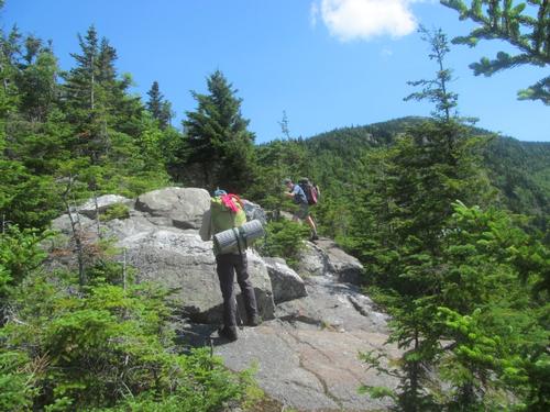
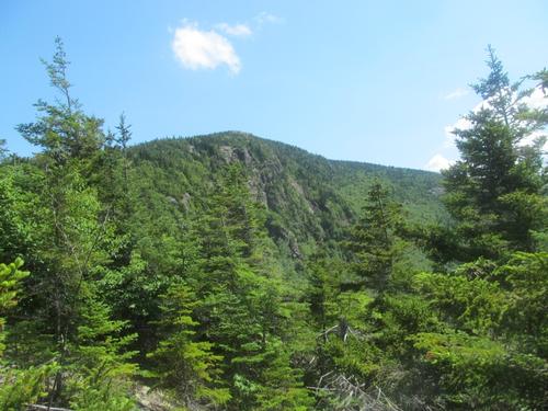
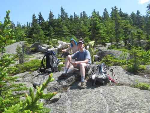
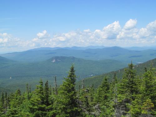
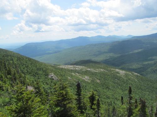
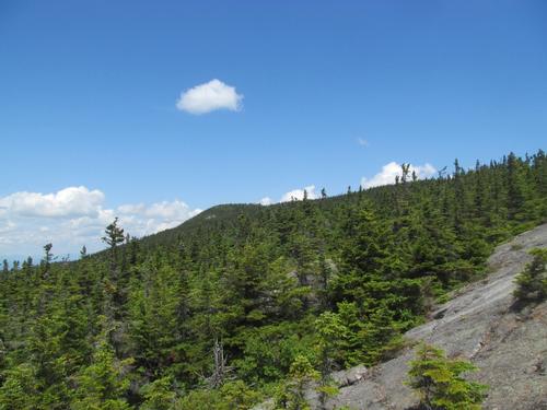
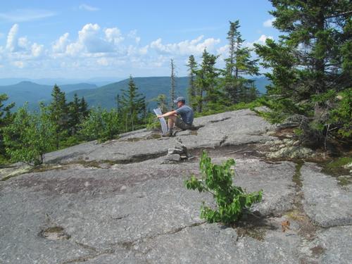
In the morning we awoke around 6AM. We got breakfast and packed up our equipment and by 7:50AM we were ready to hit the trail. From this point up to the ridge, the trail was much steeper. This didn't seem too bad, since we had hike a good portion of the trail the night before. As we climbed, it became increasingly foggy and by 9AM we reached the trail junction with the Kenduskeac Trail. We turned east and in a half-hour we were climbing over a number of open ledges. Unfortunately, with the low cloud cover there were no views. At 10 we reached the summit of Shelburne Moriah Mountain (3735'). This was still covered in clouds, but it was beginning to periodically brighten up overhead. We began our descent and after passing through a small notch we re-emerged from the woods out onto another ledge with views of the fogged-in Shelburne Moriah behind us. By 11 and while we were taking a break, the peak cleared and we had a nice view with blue sky overhead. We continued to descend and a little further along the trail there was short spur onto a rock with excellent views over the valley and back to Shelburne Moriah (there was still a good bit of clouds over the peaks across the valley). At 11:50 we turned onto Shelburne Trail and began our trek into the Wild River Wilderness. There was a small brook, which paralleled the trail and we were able to stop and filter/treat some additional water along the way. As we reached the lower boundary of the wilderness, there was a brook crossing. It was sunny and we decided to have a lunch break here...it was 1:30. By 2PM we continued along the trail and in a half-hour we were at the junction with Highwater Trail. As we turned south on this trail we immediately had to cross Bull Brook. This was a little trickly, but manageable. After this point, the trail reached the Wild River and followed this along the bank. The views up and down the river were wonderful. Also along the way, there were quite a few people from the campground hanging out by the river on the opposite shore...these were the only people that we'd seen since leaving the AT, but the trail veered inland around that area. At 3:10 we reached the junction with the Moriah Brook Trail and we crossed the river over to the Wild River Trail. There was supposed to be a suspension bridge here, but it looked like it had recently been removed. We removed our shoes and pantlegs and forded across the river, which was about knee deep. As we climbed the opposite bank, we noticed all the cables and wood stacked up, which was why the bridge seemed to have been removed very recently...possibly earlier this season. We continued to explore the river by following the Wild River Trail to the south. This was fairly straight and level and was likely the old railroad grade. In about an hour and after passing a number of really cool swimming holes, we reached the point where the Black Angel Trail crossed the river. Here too, the bridge footings were still in place, but the bridge itself had been removed...this one had been removed years ago though. There were enough sizable boulders, that the crossing wasn't too bad, as we didn't need to ford the water. As it was now around 4:40PM, we turned northward again and followed the Highwater Trail back while looking for a place to camp for the night. Unfortunately, this trail quickly climbed high up the bank and while the woods were open, there was no easy access to the water. This section of the trail also didn't look like it was used all that often. In a few places the trail was not obvious and we had to stop and look for it as it meandered along the high bank. There was supposed to be a view from this trail, but we never saw one. After hiking almost all the way back to the Moriah Brook Trail, the Highwater Trail descended back down to the river, where we found a good flat area where we could camp for the night. It was about 6:15 and we set up our tents. Before dinner we also went to the river to take a dip and wash up. The water was felt colder by this time and we mostly washed up as bet we could (Martin came closest to actually taking a dip though). We then cooked and had our dinner on the shore. We called it a night by around 9:30PM.
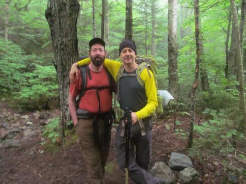
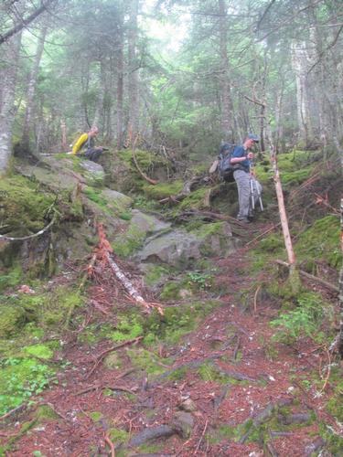
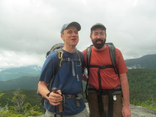
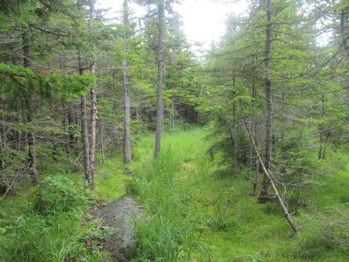
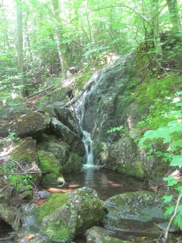
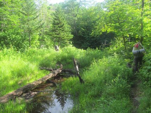
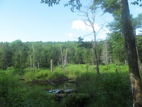
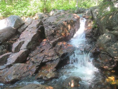
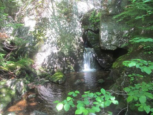
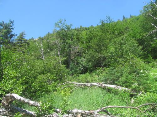
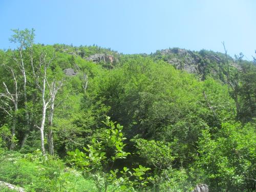
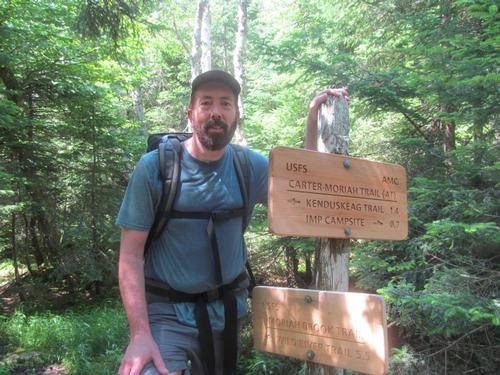
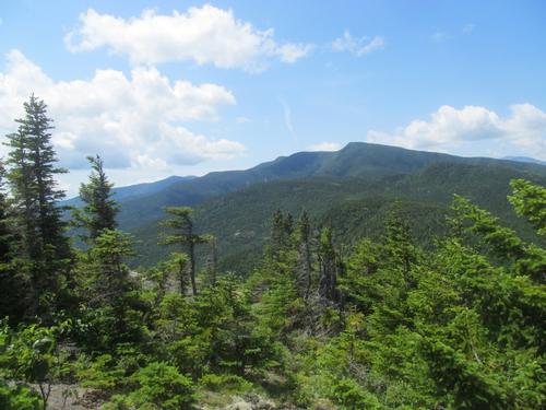
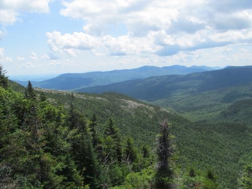
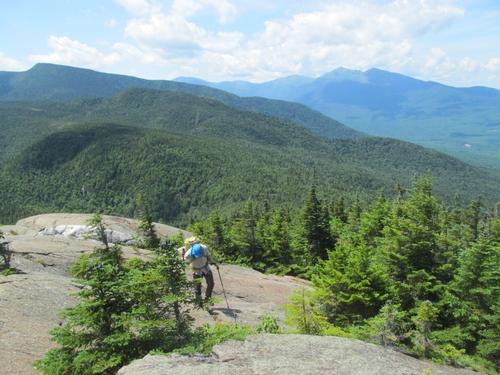
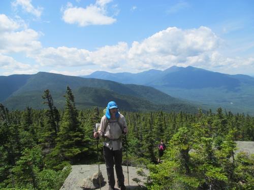
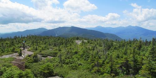
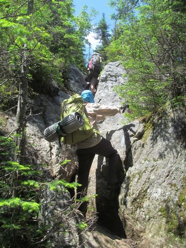
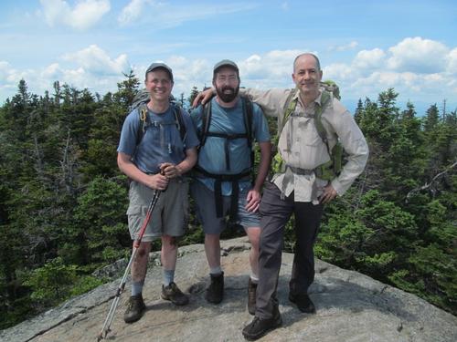
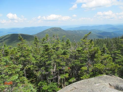
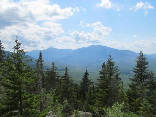
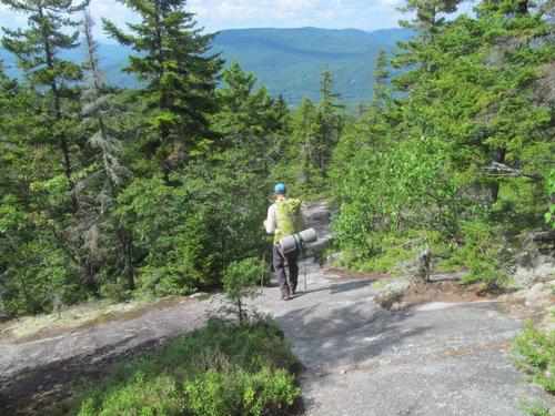
In the morning we were all up before 5:30AM. It was a beautiful morning and we all got our sites broken down and make our breakfasts. At 7:30 we hit the trail again. As it turned out we were only a few minutes from the Moriah Brook Crossing and after this it was only a little further to the Moriah Brook Trail. We turned onto this and followed the trail up towards the Carter Moriah Ridge. The trail climbed at a very modest grade through largely open woods. At 8:10 we reached the Moriah Gorge and we took a short break. Afterwards, we had to cross the brook (there had once been a bridge here, but had been removed). The trail continued as it progessed through a couple of glades, wetlands, a beaver dam and a large bog. It was after this point that we ran into a father and daughter who were backpacking back here...these were the only other people we had seen in the wilderness. The trail stayed pretty close to the brook most of the way. After crossing the brook again, the brook narrowed through some smaller gorges, which provided a number of beautiful cascades. By around 10:30 we crossed the brook for the last time and after this the trail began to climb periodically at a slightly more agressive grade (still not steep though). The woods opened up occasionally we some views of the Moriah ledges above. At 11:30 we were leaving the wilderness and had reached the Carter Moriah Trail (AT). We immediately turned north and were quickly rewarded with views of the Moriah cliffs, Imp Mountain and Wild River Valley below. As we climbed the Presidential and the Baldface Royce Ranges came into view and at about noon we stopped on an open ledge for lunch. Afterward we continued to climb going in and out of the woods over open ledges. We reached the junction with the Kenduskeag Trail. We stayed on the Carter Moriah Trail as it steeply climb up to the summit spur for Mt. Moriah (4049'). There were only two other women on the summit and the views were amazing...in all directions. We chatted and they graciously took our photo and then we started back down. Once back at the spur junction we continued to descend the Carter Moriah Trail. This was periodically steep as it descended some smooth granite. By 3:20 we encounted the first of a series of open ledges down to Mt. Surprise (2194'). There were great views back to the Presidential Range and down into the valley. In a short distance after descending off of Mt. Surprise, the trail began to moderate in grade again as it meandered through the woods back to the trailhead at the end of Bangor Road. We reached our car here again at 4:50PM.
Afterwards we retrieved the other car from the Rattle River Trailhead and after giving a through-hiker a lift into town, we headed to Faybian's in Bretton Woods for dinner.
What an amazing backpack into the relatively secluded Wild River Wilderness! Despite the ominous weather forecast, the entire weedend turned out to be really nice with maybe 2 minutes of a light shower on Saturday. It was cool exploring the rest of the Moriah Ridge, the Wild River watershed and the Moriah Brook. If you would appreciate a true wilderness experience devoid of other hikers, this place is for you! This was just a taste of this special wilderness area and it already made me want to explore more...particularly the southern end on a future backpack! It was fantastic sharing the experience with Martin and Richard!
Event photos (75)
Reactions
Log in to react to this trip report.
About this event
Join us for a weekend backcountry backpack into the primative Wild River Wilderness. The Wild River Wilderness once bustled with a logging railway and camps along the river, and the area was pretty much deforested by logging and a subsequent fire in 1903. The region has been reclaimed by birch, maple, oak, pine and other subalpine vegetation. The area became a managed land under the Forest Service in 1914 and was finally designated a wilderness area in 2006. The wilderness consists of approximately 23,700 acres and is home to moose, black bear, deer and other fauna.
We will enter the wilderness via the Carter-Moriah Ridge using the Appalachian Trail (AT)/Rattle River Trail. Friday evening we'll camp along the trail just a couple of miles in...preferrably not at the shelter, so be prepared for primative camping! On Saturday, we'll continue along the trail, climbing Shelburne Moriah Mountain (3735') before descending into the wilderness and exploring the Wild River Valley and watershed. We'll camp primatively along the river Saturday night. On Sunday, we'll climb over Mt. Moriah (4049') using the Moriah Brook Trail, where we'll visit the Moriah Gorge along the way. Finally, we'll descend the ridge via the Carter-Moriah Trail over Mount Surprise (2194'). NOTE: Fording of the Wild River may be necessary.
Total Distance and Elevation Gain: 27.4 miles with approximately 5882 feet in cumulative elevation gain. This breaks down to approximately 2+ miles and 500' Friday evening, 13.5 miles and 2915' for Saturday and 11.9 miles and 2967' for Sunday.
Rain or harsh weather may postpone to another date or cancel, as appropriate.
What to Bring: You will need a pack, tent/bivy, sleeping bag/pad, extra dry clothes/towel, food for 2 lunches, 2 dinners and 2 breakfasts, headlamp, bear bag/cannister, camp stove, water filter, etc. (some double up is possible for shared equipment...tents, bear bags, stoves, water filter). Typical summer hiking gear should be appropriate: convertible hiking pants, good sturdy hiking boots with thick socks and a windbreaker/raingear (just in case). Snacks and at least 2 liters of water (water can be filtered/treated along the way). Optionally, pack bug repellent and sunscreen and anything else that you may require for a multi-day hike. Also consider bringing a swim suit, if you'd like to swim at Wild River (officially public nudity is prohibited within the WMNF, but I don't know if it's ever been enforced).
Carpooling: Contact other participants or the trip leader to arrange for a rideshare to the trailhead. Note: We'll need at least 2 cars for this trip.
Afterwards: If there is sufficient interest, we will have drinks and/or dinner before leaving the area on Sunday afternoon.
Comments
No comments yet.
Log in to join the conversation.