
Mt. Washington via Boott Spurt
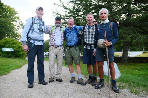
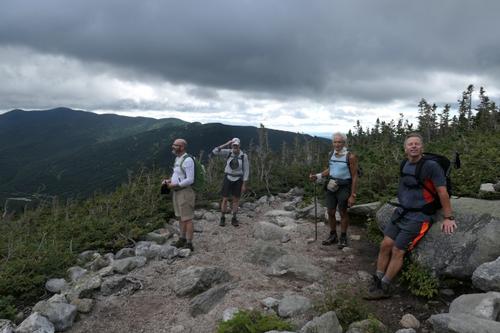
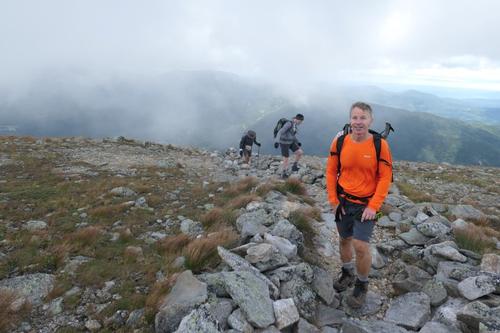
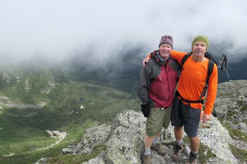
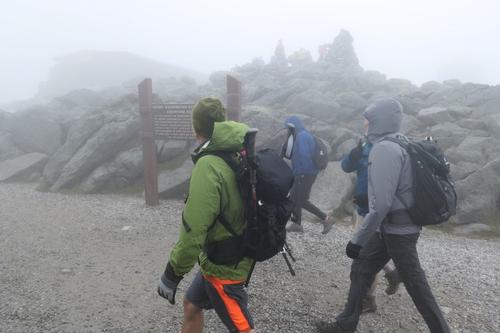
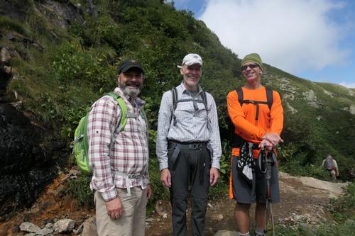
Another epic hike! Jon and Mike’s favorite. Rob, Jim and Luciano were perfect company across the cloud covered Bigelow Lawn in 60 mph winds!
The trip report
Written by Gandalf
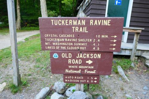
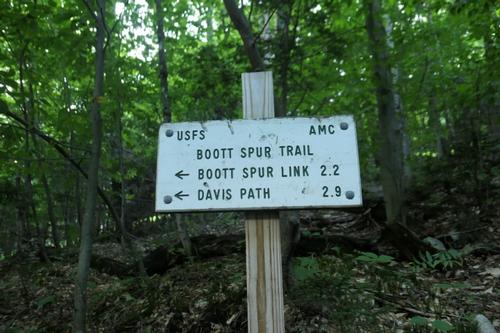
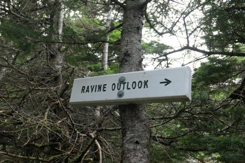
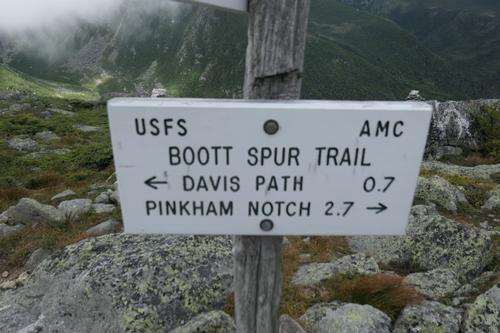
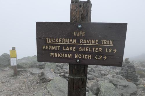
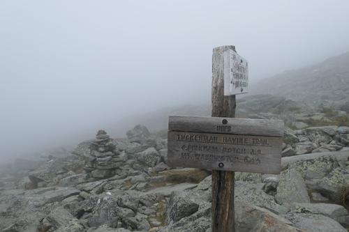
Starting from Pinkham Notch (2022') at 8:00am we moved up the Tuckerman Ravine trail. We were greeted by Lester, Luciano’s partner, who would await our return. The Boot Spur trail picks up off Tuckerman after just a few minutes and is well marked by a sign posted to a tree.
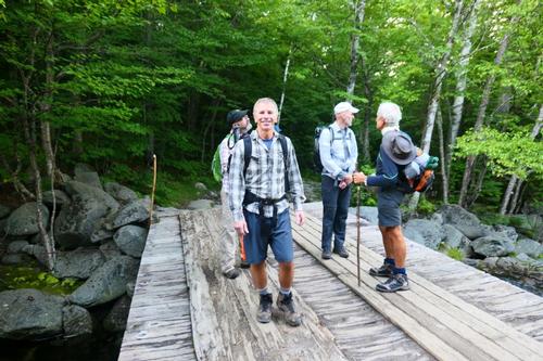
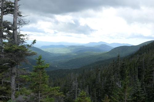
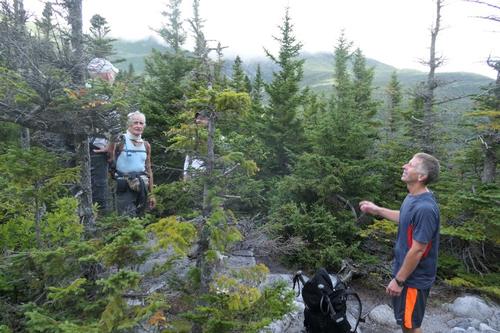
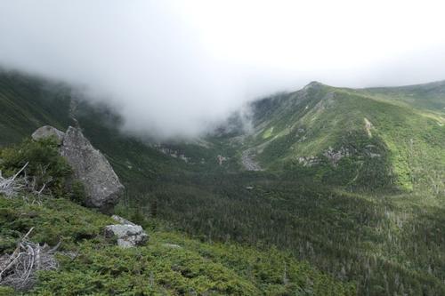
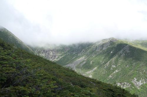
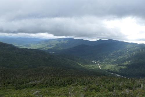
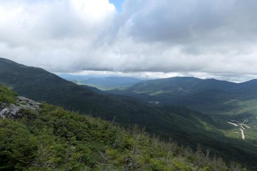
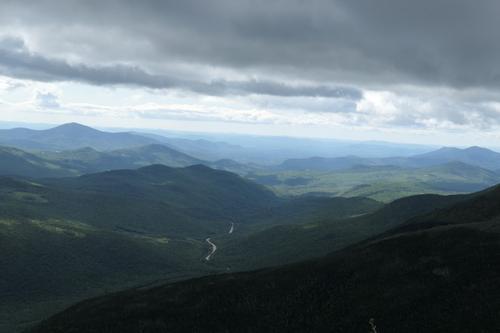
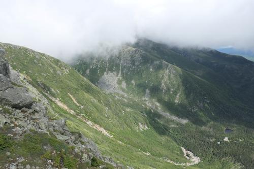
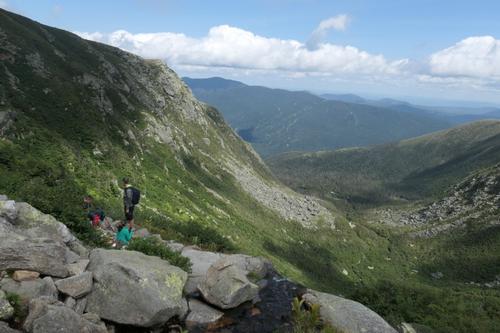
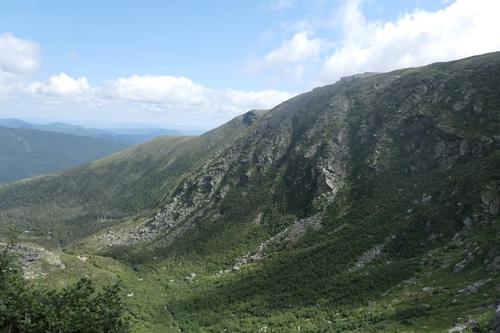
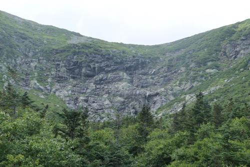
For the most part, the trail stays in a pretty wooded area and there are not many BIG views of the valleys and mountains (until you clear the tree line). We did come across two small lookouts. At 1.4 miles in, there was side path to a stand-up view of Huntington Ravine and at 2.1 miles a side trail led to Harvard Rock, with a fine view into Tuckerman Ravine with all its glory, Wildcats and Carters. We felt the full force of the wind at this lookout and got a preview of what was to come!
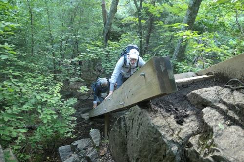
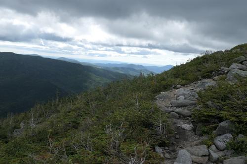
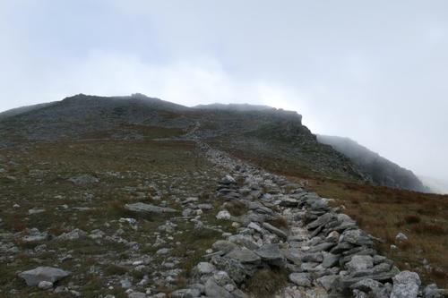
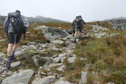
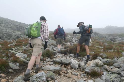
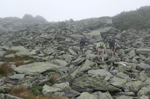
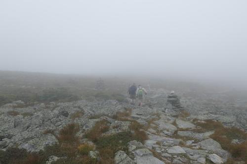
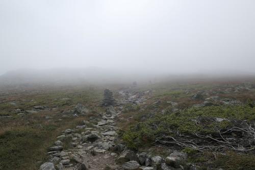
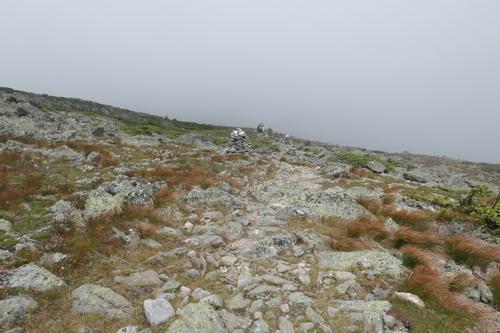
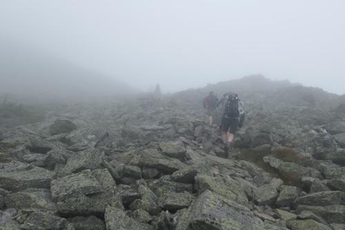
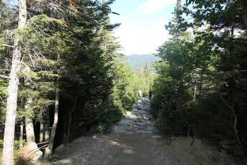
Don't expect to be traveling on a well-traveled dirt path trail; this entire loop is 90% rock. The rocks vary in size but most of them are large (bigger than 1 or 2 feet in diameter). ROCK ON!!!
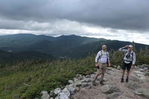
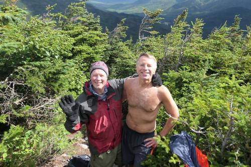
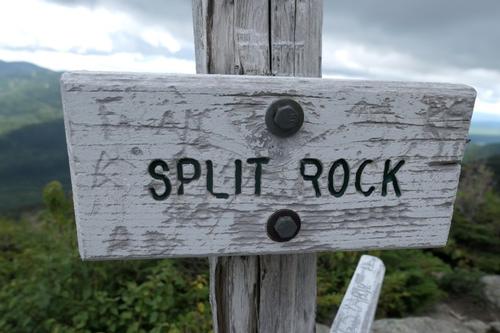
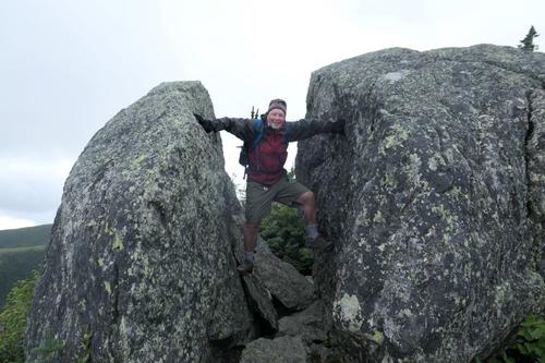
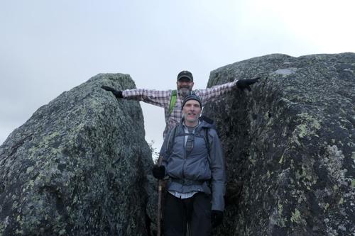
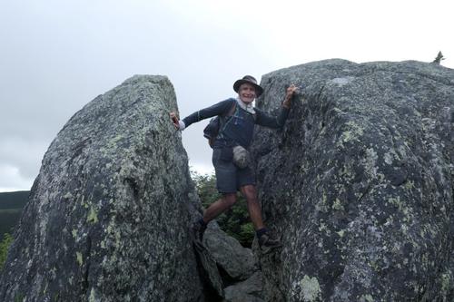
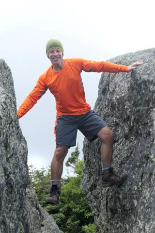
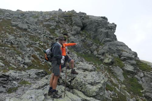
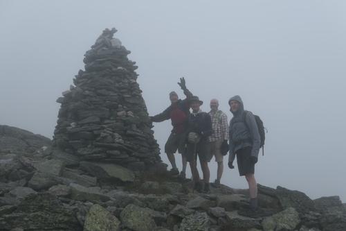
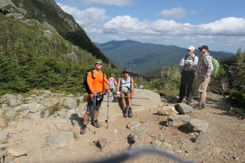
Right before reaching treeline, since the wind had picked up some of us threw on our shell jackets; except for Jon who was thinking of going shirtless! We passed Split Rock (4337') at about 10:30am, which meant we had climbed 2300' in 2 ½ hours. We paused here to take pictures of our version of doing the “spider wall” from American Ninja Warrior.
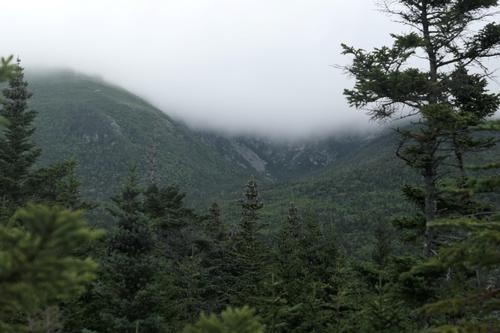
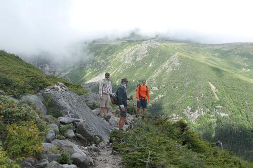
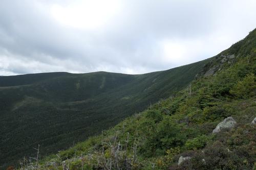
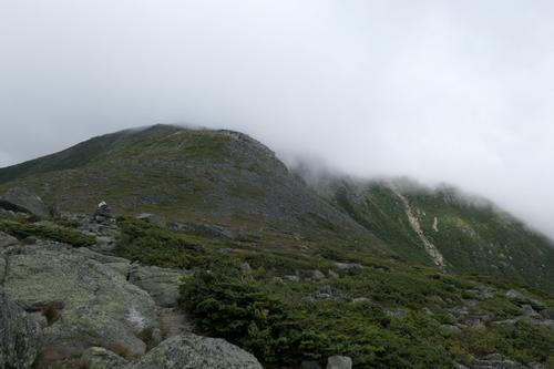
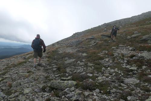
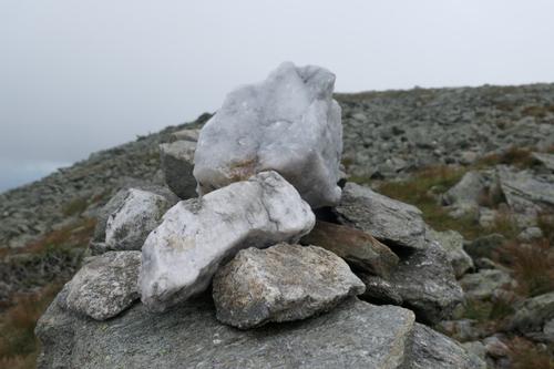
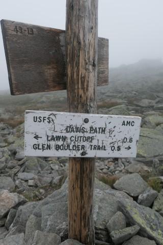
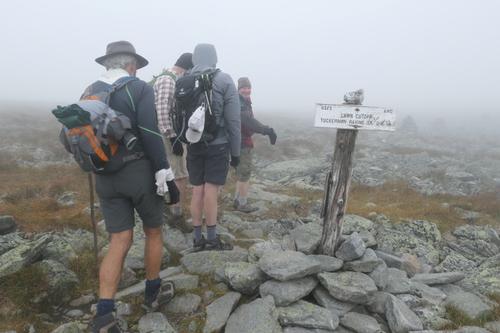
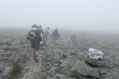
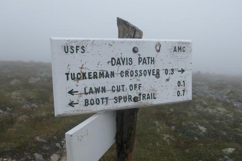
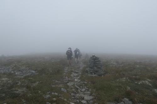
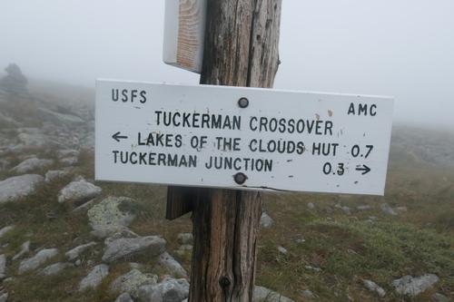
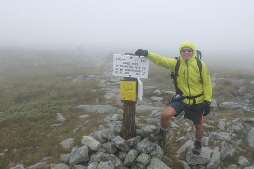
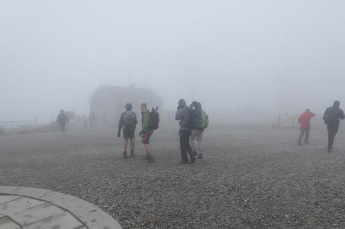
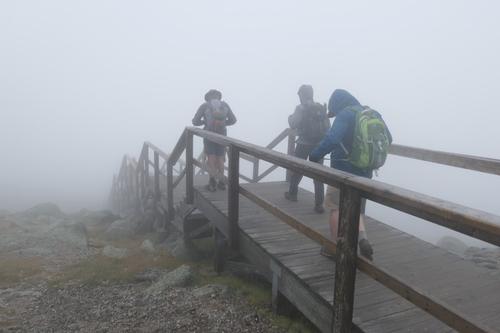
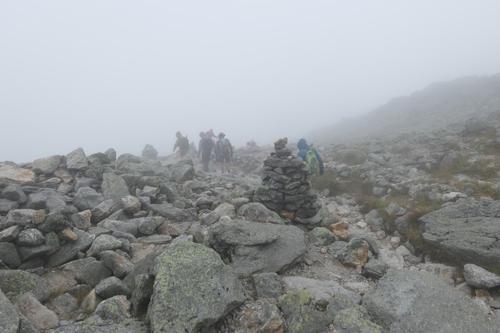
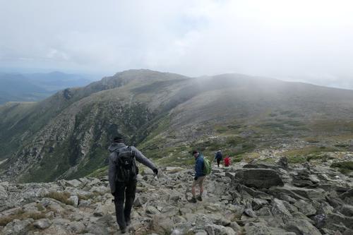
After passing Split Rock, the trail leaves behind the timberline and it became very windy going up the spur. We are guessing it was around 40 mph and we began to encounter thickening clouds. Everybody was doing great with handling these weather conditions! We picked up Davis trail at 11:30pm leading us across the Bigelow Lawn toward the summit. This led to the Crawford Path for the main summit push. Going up the main mass of the summit mound is a bit tricky as we picked our way around huge rocks and boulders with winds at this point near 60mph. All of these trails were well marked with cairns. We were covered in thick clouds the entire time on the Davis Path to the summit.
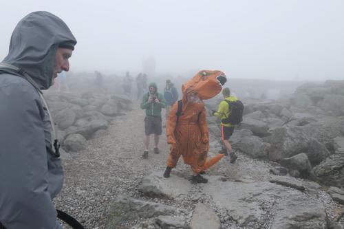
We hit the top of the summit, about 12:45pm. As we had come up the main summit mound we saw numerous people. Tourists were scrambling all over the place, especially crowding the summit sign for pictures. It was a bit overwhelming to see the crowds at first since we had spent most of the day seeing few people making us think we would have the summit all to ourselves. Of course, this is Mt. Washington, wishful thinking at best!
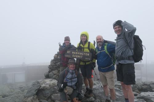
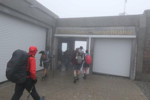
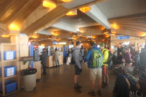
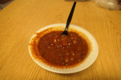
Of course we ran up for our commemorative summit shot and because of the weather there was not a long line to wait. Bonus! Once in the summit building, some of us submitted to the commercialization and had a bowl of chili in the hiker’s pack room downstairs.
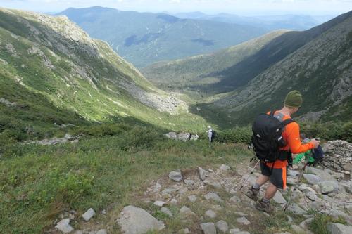
We stayed on the summit for about 45 minutes and then left the summit via Tuckerman Ravine. We just missed Steve, Tom and Bailey who arrived 10 minutes later. Heading down Tuckerman Ravine the wind was decreasing with the summit cone protecting us. Further down, we could the clouds disappearing.
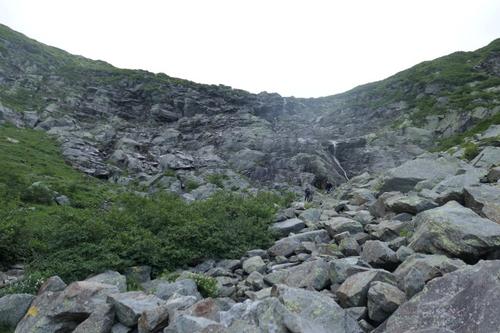
From the Headwall to the base of Tuck's is tricky with a little scrambling here and there. Nothing too difficult but one slip could end in a head smashing fall or injured leg quite easily. The hike down Tuck's for me was a real bastard on the knees.
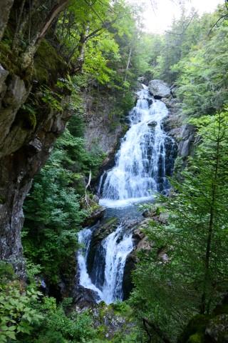
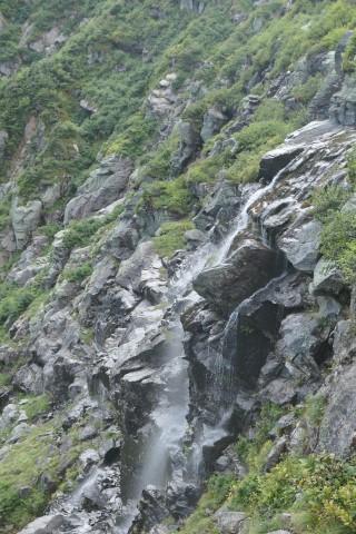
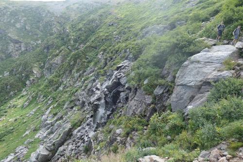
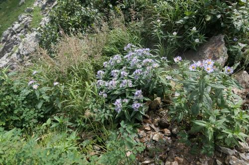
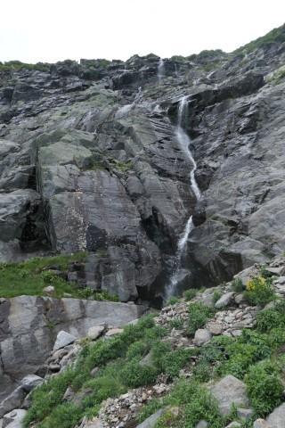
There were still beautiful wildflowers in the ravine and waterfalls. We reached Hermit Lake uneventfully. We left the summit at 1:30pm and got to Hermit Lake at 3:15pm. We relaxed a while and chatting with other hikers.
I rock hopped all the way down and limped my aching right knee back to the truck at Pinkham Notch at 5:00pm. A shot of caffeine for the drive back and I was shouting “wheeee” on the turns on the Kancamagus Highway. Everyone in the truck wanted what I had in my coffee. Life is good!
Another epic hike! Jon and Mike’s favorite. Rob, Jim and Luciano were perfect company for this venture across the cloud covered Bigelow Lawn in 60mph wind! Congrats to Jim on his reaching Mt. Washington for the first time.
Mike Boisvert
Event photos (80)
Reactions
Log in to react to this trip report.
About this event
FUN hike on this 6,000 footer in the Presidential Range and the highest peak in the Northeast!
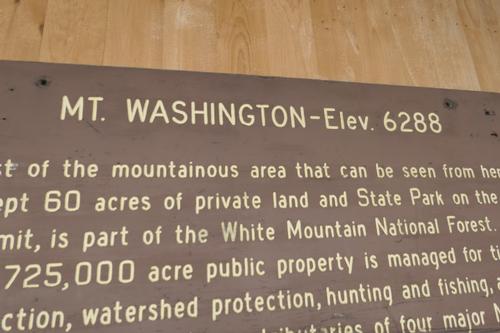
At 6,288 ft. Mt. Washington is the tallest of the NH 4,000 footers and the highest in all of New England and the Northeast. Though the summit is puny compared to other great mountain ranges of the world, Mt. Washington is renowned worldwide for its fierce weather and frequent fatalities. Being the tallest of the peaks, it’s no surprise that the mountain is among the most visited summits in New England. We will ascend up Boott Spur with lunch in the summit cafeteria.
This longer route over the great shoulder of Boott Spur is very scenic! With miles of above treeline walking, it sees far less traffic than Tuckerman Ravine. Much the trail has fairly rough footing. At 2.6 miles will break treeline with impressive views of Tuckerman Headwall. We will be fully exposed to weather until we reach summit using the Crawford Path for a fairly steep climb to the summit cone. Boott Spur summit has excellent views and Bigelow Lawn provides a grand stretch of hiking across an expanse of alpine tundra!
We’ll descend via Lion’s Head Trail. The views of Tuckerman Ravine are outstanding!
Because the hike involves extensive hiking above treeline, attention to safety and the mountain’s notoriously fickle weather is of paramount importance. In addition to safety precautions, you should note that this is arduous climb involving 4,300 elevation gain. It will be 9.6 miles roundtrip. Plan on a finish of 5pm.
Round trip distance: 9.6 miles
Vertical feet: 4,300
Approximate time: 9 hours
What to wear/bring: Wear clothing suitable for the hike in layers...no cotton or blue jeans. Have a rain jacket in the event of inclement weather. Bring along plenty of water (at least 2 liters), lunch [you can buy hot food at the summit], snacks and anything else you may require for a day hike. Contact us if you have any questions.
Boston Area Carpooling: Save money by sharing gas/toll expenses and get to know fellow GO members better! Don't be shy. Contact other Bostonians to find a convenient location for you to meet such as a T-Stop, Commuter Line Stop, or a parking lot of a store familiar to you all! Don't forget to tip the driver!
Afterwards: Bring a change of clothing after the hike as you are welcome to join us for dinner at the Red Fox Grill in Jackson.
Lodging Option: Bunk beds are available at our house [with Wi Fi] near Waterville Valley, NH for Friday and/or Saturday nights. It's $25 for Friday night, $35 for Saturday that includes dinner or $60 for the weekend. Coffee/bagels each morning and linen/blankets/towels are provided. Space is limited so email ASAP to reserve a bunk!

Comments
No comments yet.
Log in to join the conversation.