
HIKE FOR EQUALITY: Monroe and Franklin
Great hike and company!
The trip report
Written by Cblaiz · last updated by Gandalf on Jun 11, 2017
This 9.4 mile moderate to strenuous loop will show you some of the best above tree line hiking that New Hampshire has to offer!
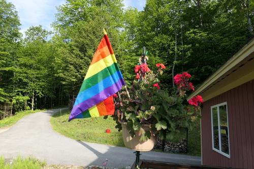
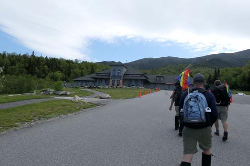
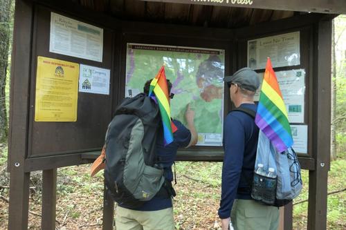
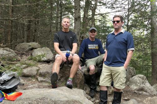
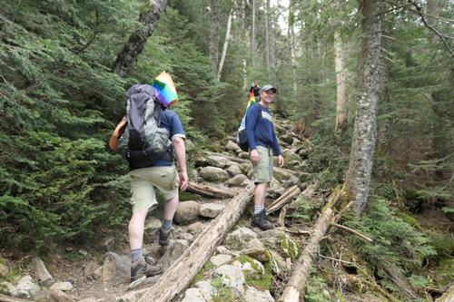
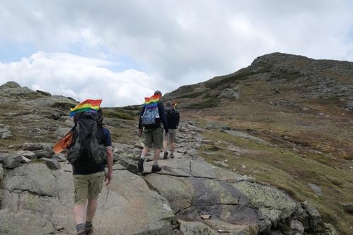
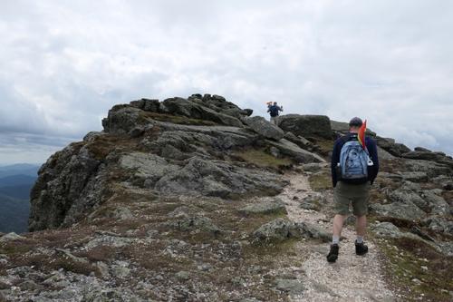
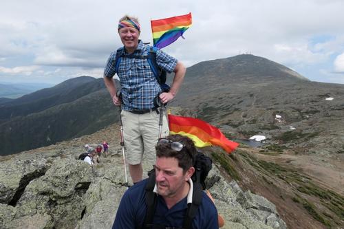
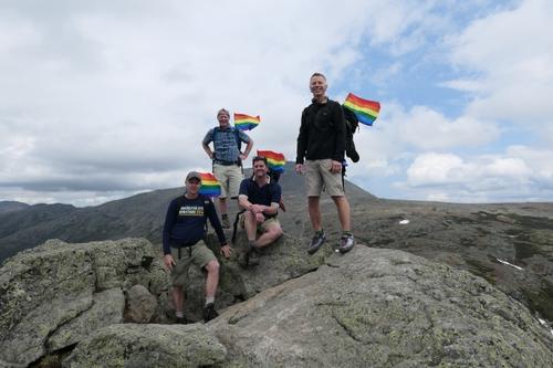
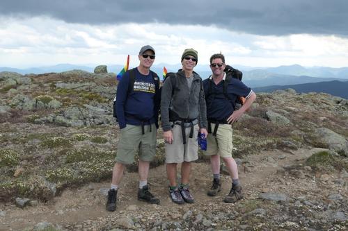
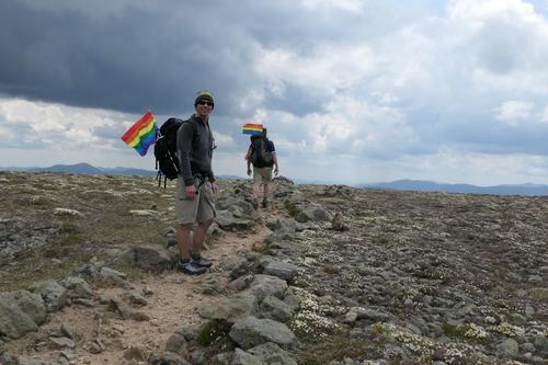
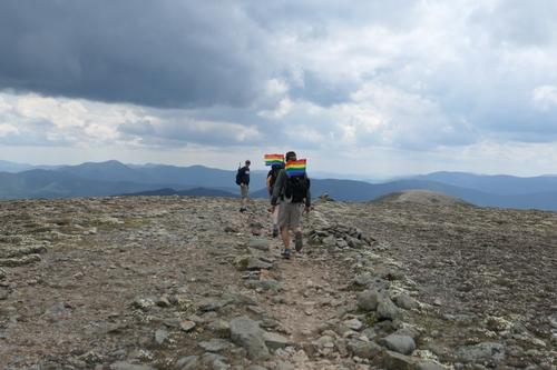
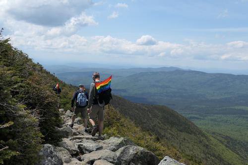
The hike was held on the same day as Boston Pride. We started the day by placing rainbow flags around the house and then drove to the trailhead. At the trailhead, we handed out rainbow flags for members to stick out of our packs to display solidarity with our gay brothers and sisters.
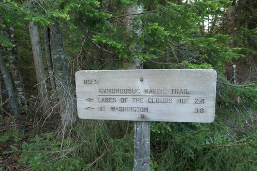
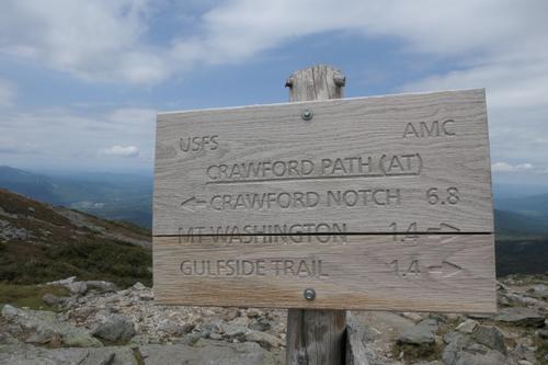
Our plan was to take the 3.1 mile Ammonoosuc Ravine Trail to the Lakes of the Clouds hut. From there we would do a 2 mile ridge traverse, along the Crawford Path, bag Monroe (5,384 ft) and Franklin (5,003 ft but not an official 4,000 footer) along the way. We would then cruise the 2.9 miles down the Edmunds path to where we spotted my truck.
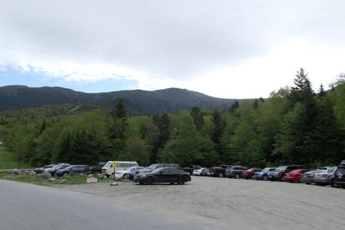
The weather gods seemed to approve of this plan as we arrived at the trailhead at around 9:30 am and some blue skies!
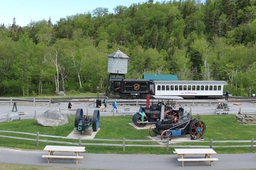
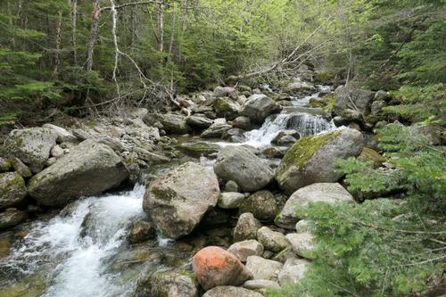
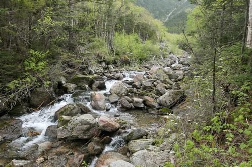
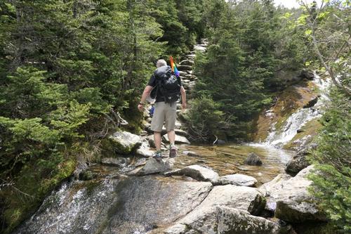
The Ammonoosuc Ravine Trail starts out with 30 minutes of rolling and flat terrain in a shady forest like many White Mountains trails do. This was fine as it provided a chance to warm up. The trail truly distinguishes itself because it is right next to the Cog railway and it is frequently near water. Someone asked me early on in the hike if it was the Jamaican flag sticking out of my pack and I explained to him that this was the gay rainbow flag!
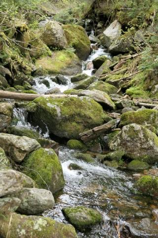
We were soon treated to a crystal clear Gem Pool fed by a tiny waterfall which is something you don’t see on every hike. This was a great place to take our first break. We were joined by many other hikers. Black flies were not an issue during the hike.
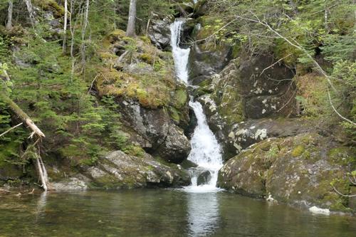
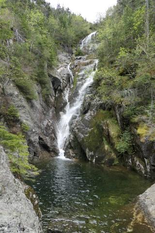
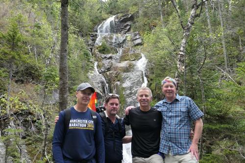
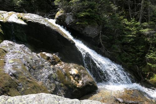
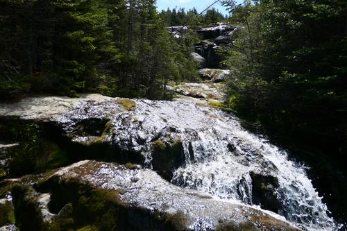
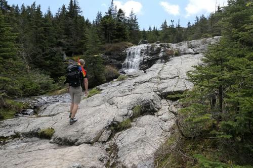
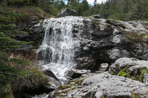
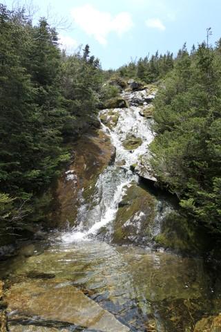
From here the climbing began with a steep and sustained ascent on a boulder strewn trail. Some people remarked how they thought the flags were a good idea because they identified who was in our group. Shortly into the climb we came upon the small side trail without a sign unfortunately that leads to a gorge. If you do this hike then take this side trail! Only 100 yards from the sign we were treated to one of most amazing waterfalls that I have ever seen in the White Mountains. Take a look at our pictures; do you think that is worth hiking 100 yards for?
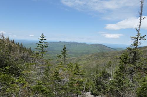
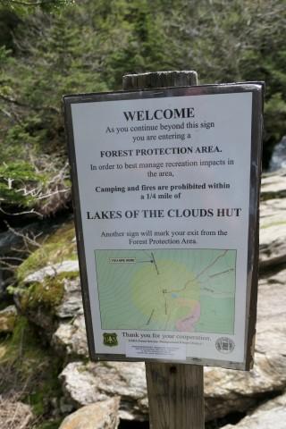
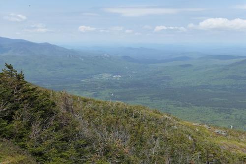
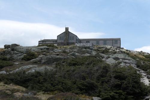
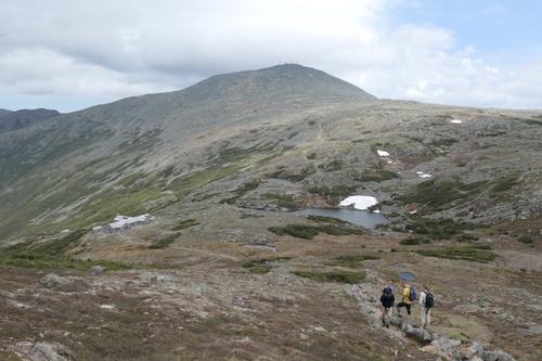
The climb continued at a sustained pitch as the boulders evolved to rock slabs. Along the way we were constantly reminded of the elevation gain by an endless supply of amazing views. The Lakes of the Clouds hut came into view after a little more climbing. This was a great sight because it meant we were close to Mount Monroe.
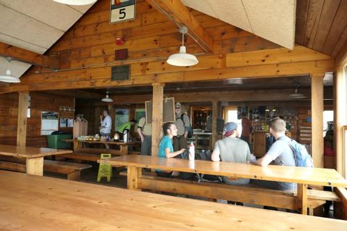
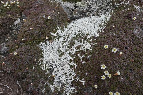
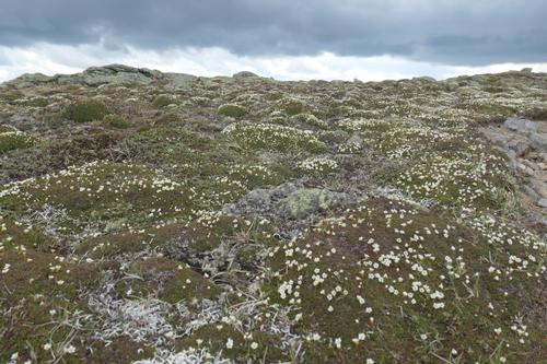
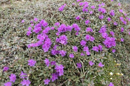
We took a quick break inside the hut. We then continued our ascent up Mount Monroe revealing alpine meadows filled with alpine flowers that only bloom for a couple of weeks each year. The lush grass, expansive views and perfect weather meant that we did not need to be in a rush.
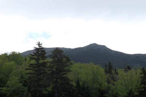
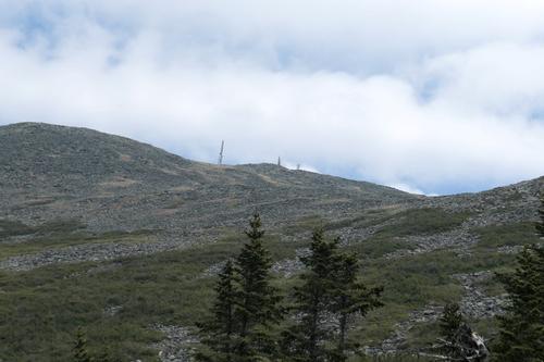
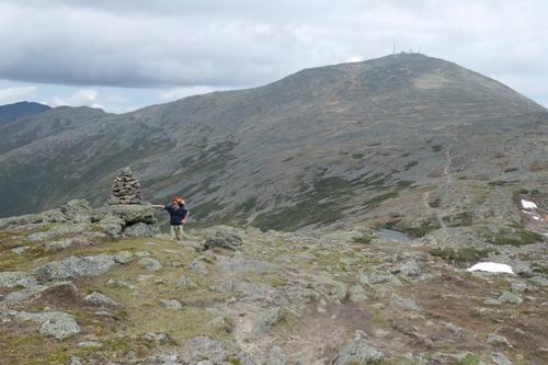
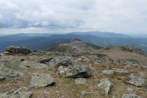
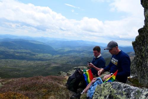
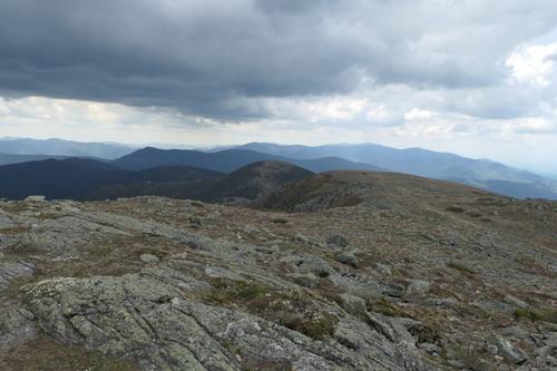
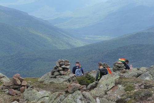
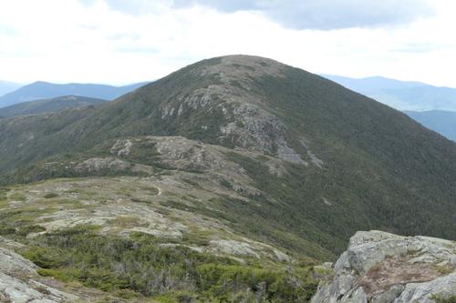
The climb to the Mount Monroe summit was certainly steep but things just seem so much easier above tree line in good weather; maybe that is due to the 360 degrees of awesome views. We found a sheltered spot for lunch because it was very windy. After some lunch, we felt it was time to continue on our hike. From here we had a perfect view of the ridge we were about to traverse which included Mount Franklin.
There were plenty of other hikers on the trail that day but with this weather who could blame them? Along the way, a couple of trail runners mentioned how they liked our version of the Boston Pride Parade while another guy said, "Happy Pride."
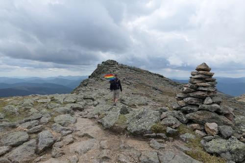
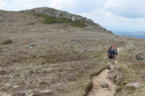
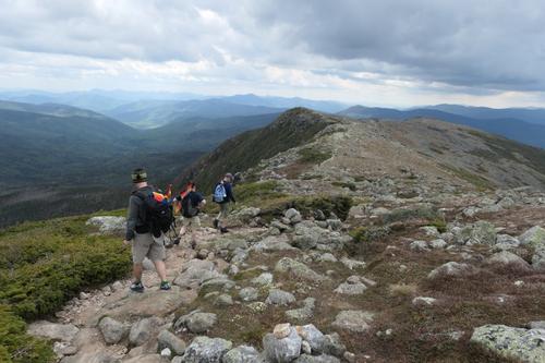
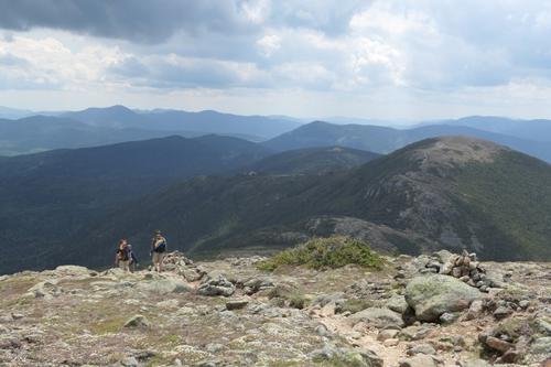
From here the hike became a classic above tree line White Mountains ridge traverse with a narrow cairn lined path that is surrounded by alpine vegetation. Oh yeah and did I mention that the views were amazing in every direction? If I looked one way I could see the Bonds, Mount Washington was behind me and Eisenhower directly ahead. Does it get any better?
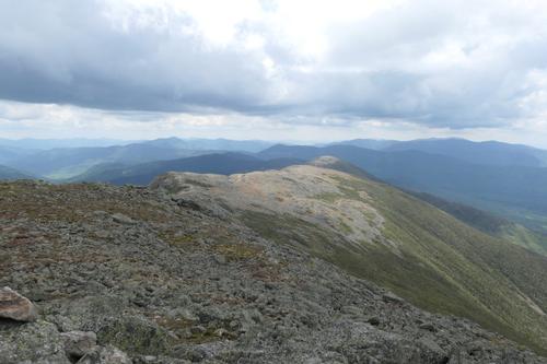
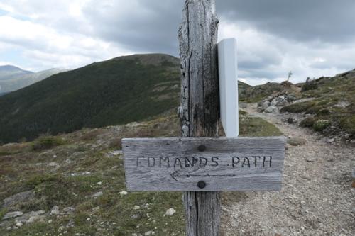
Finally we decided to head down. The descent to the Edmunds Path treated us to a whole new perspective on the ridge we had just traversed. At first the Edmunds path was a stone filled ledge with more of the amazing scenery that we had been enjoying all day.
Before long we were back in the tree line and back at the car. Despite hiking 9 miles and bagging 2 peaks we felt like the hike flew by; that is the sign of a great hike. I highly recommend this hike for anyone who wants unbelievable views for a moderate effort. If you do take this route please do be prepared for extreme weather because it does spend substantial time above tree line.
Happy Pride!
~ Mike Boisvert
Event photos (55)

Reactions
Log in to react to this trip report.
About this event
Celebrate Pride with a FUN hike on these 5,000 footers in the southern Presidentials followed by a social BBQ/swim at the Mad River Lodge! We’ll provide rainbow flags to all participate to stick outside their packs to create our own pride march!
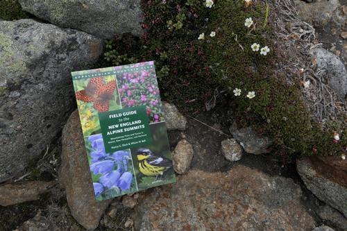
Mount Monroe, [5,372'] is an excellent alternative to its more famous neighbor, Mt. Washington, offering superb views! The highest of the Southern Presidentials, it provides a wonderful craggy throne for gazing at Oakes Gulf and the Dry River valley, down the twisting Southern Presidential ridge, and up to massive Mt. Washington with the Lakes of the Clouds nestled beneath. THE RARE ALPINE FLOWERS WILL BE IN FULL BLOOM!!!...bring your alpine wildflower book.
We will car spot, so we can enjoy the magnificent open ridge walk over Mt. Franklin [5,001'] on the Crawford Path, a little alpine bump that has an interesting view looking down into the Dry River valley from the brink. We'll descend via the Edmands Path.
Round trip distance: 8.2 miles
Vertical feet: 2,950
Approximate time: 7 hours
We will ascend up the Ammonoosuc Ravine Trail with a stop at Lake of the Clouds and the AMC hut. On the Ammonoosuc Ravine Trail, there is a very steep, rough ascent. We'll then hike the Crawford Path to the Mount Monroe Loop. After reaching the summit of Mount Monroe, we’ll continue to enjoy the magnificent open ridge walk over to Mt. Franklin. Before reaching Mount Eisenhower, we’ll hike off the ridge and back to our vehicles using the Edmands Path.
What to wear/bring: Wear clothing suitable for the hike in layers...no cotton or blue jeans. Have a rain jacket in the event of inclement weather. Bring along plenty of water (at least 2 liters), lunch, snacks and anything else you may require for a day hike. Contact us if you have any questions.
Boston Area Carpooling: Save money by sharing gas/toll expenses and get to know fellow GO members better! Don't be shy. Contact other Bostonians to find a convenient location for you to meet such as a T-Stop, Commuter Line Stop, or a parking lot of a store familiar to you all! Don't forget to tip the driver!
Afterwards: Everyone is welcome to join us back at our house in Waterville Valley for a swim in the Mad River, relax on our deck [BYOB and bring snacks] and a BBQ! We ask $10 per person to help pay for our food costs. Please let us know you will join us for the BBQ so we have enough food. Showers are available to freshen up so bring a change of clothing to make your visit with us more comfortable.
Lodging Option: Bunk beds are available at our house [with Wi Fi] near Waterville Valley, NH for Friday and/or Saturday nights. It's $25 for Friday night, $35 for Saturday that includes dinner or $60 for the weekend. Coffee/bagels each morning and linen/blankets/towels are provided. Space is limited so email ASAP to reserve a bunk!



Comments
No comments yet.
Log in to join the conversation.