
Mt. Moosilauke via Asquam Ridge
It was so great to be with like-minded men enjoying nature and the beauty around us! Until next time!
The trip report
Written by Gandalf · last updated by a member on May 30, 2017
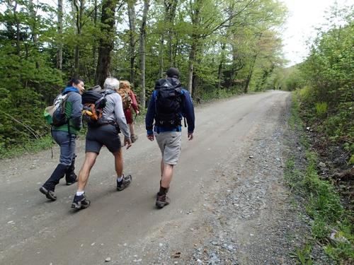
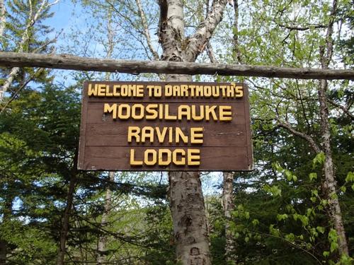
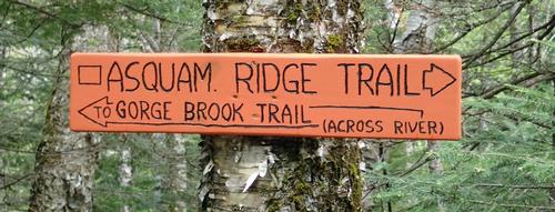
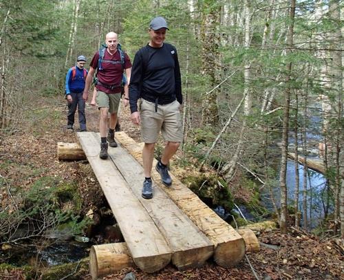
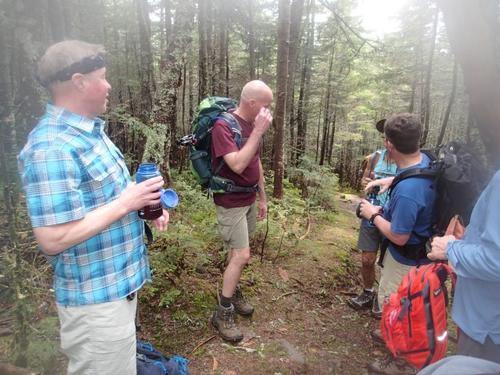
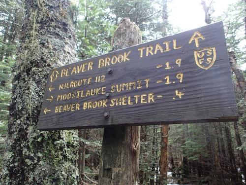
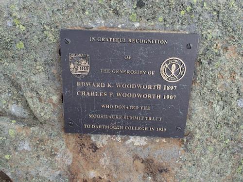
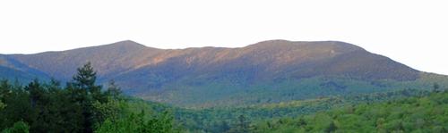
Our plan was to hike a big loop around trails on Mount Moosilauke. Due to construction of the new lodge, we now have to park 0.8 mile before it and walk the road. We started around 10 AM and once reaching the future site of Dartmouth’s Moosilauke Ravine Lodge we picked up the Asquam Ridge Trail at the end of the road. The plan was to take this trail to the Beaver Brook Trail to the summit of Moosilauke, and then we would descend via the Carriage Road and pick up the Snapper Trail back to the Ravine Lodge. A nice, tidy, and fairly long loop!
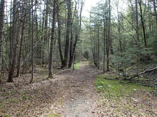
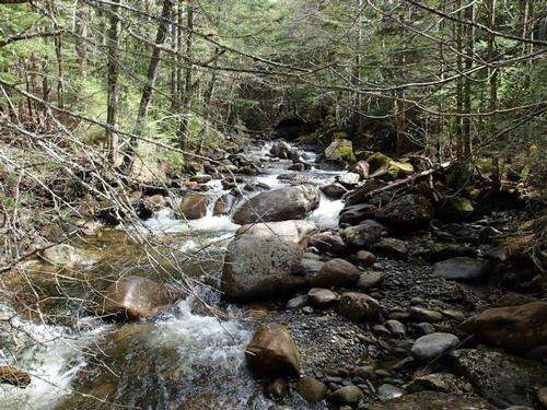
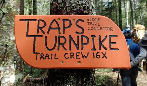
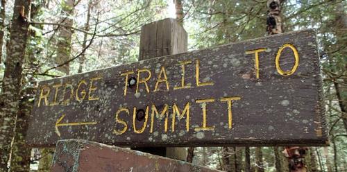
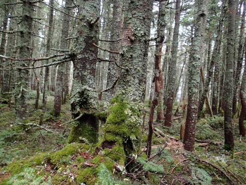
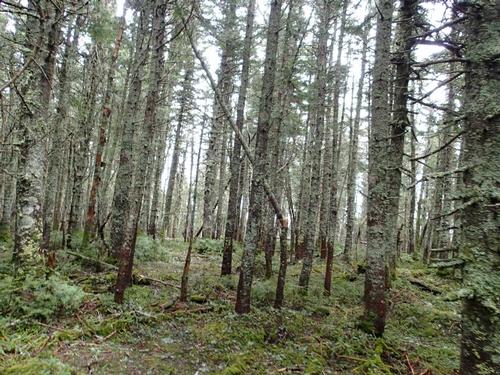
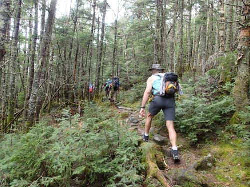
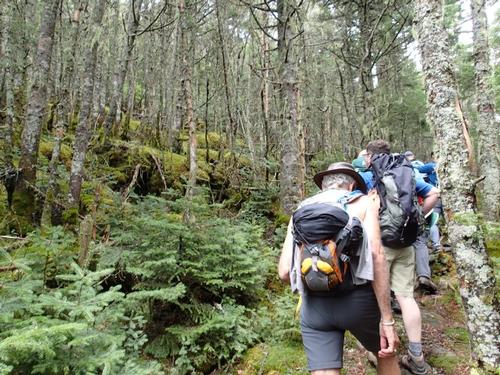
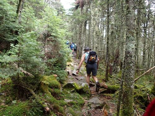
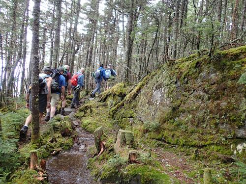
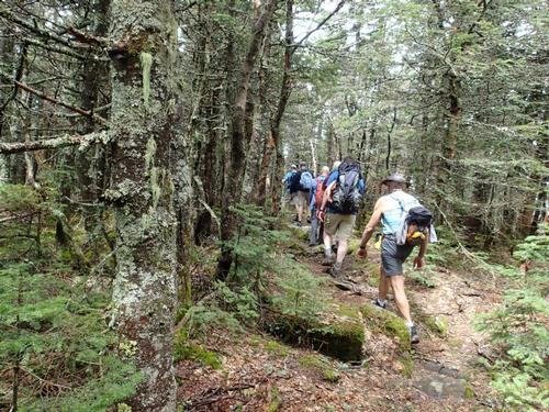
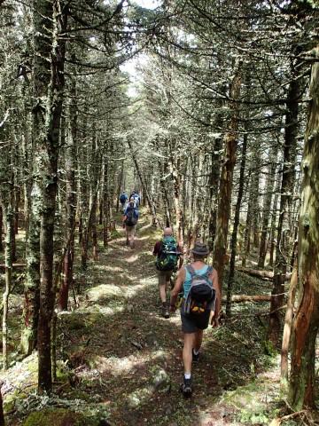
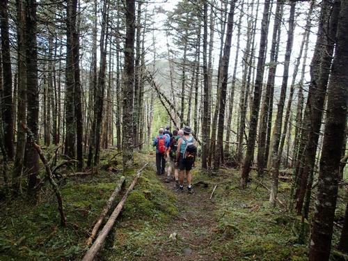
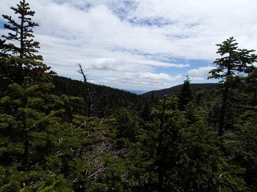
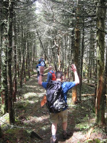
Asquam Ridge Trail is an old logging road most of the way up to the ridge near Mount Jim, and as such the footing was generally good, and the grade was mild. We made great time along this trail, and really enjoyed it too, it was a pleasant change from the usual rocks and roots of New England. There were a number of scattered blowdowns, but none took us long to climb over or under, and in short order we were on the ridge. At the high point, we were close to the wooded summit of Mt. Jim, that I discovered after this hike from further research that there was a short herd path leading about 25 or so feet to the summit. Next time!
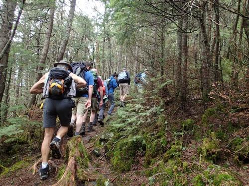
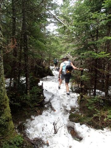
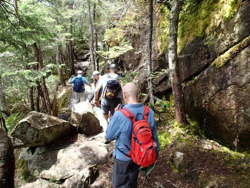
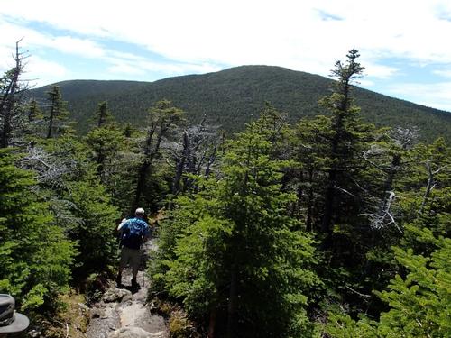
From Mount Jim, we continued on to the junction with the Beaver Brook Trail, where we ran into the first people of the day. Not surprising, since the Beaver Brook Trail is on the Appalachian Trail and is a popular ascent route. The route got rocky and there were a few boulders to navigate, but overall it wasn't bad. As we approached the Mount Blue - Mount Moosilauke col we kept a lookout for a herd path. We somehow missed it. Next time!
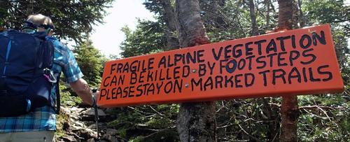
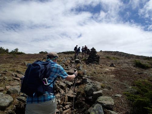
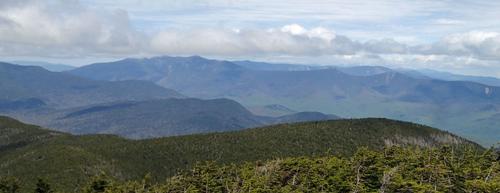
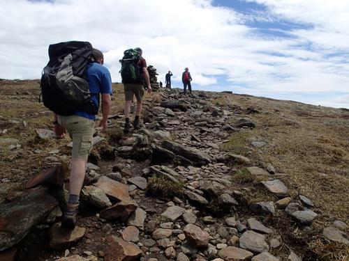
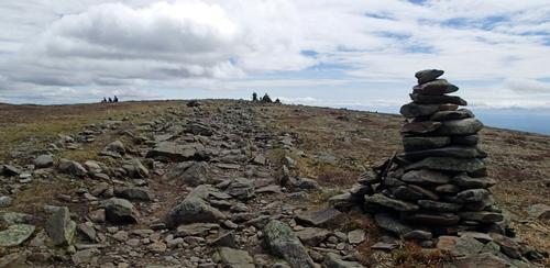
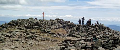
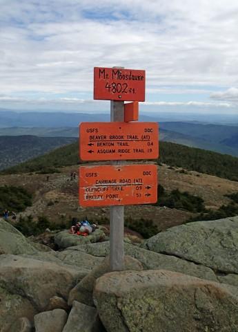
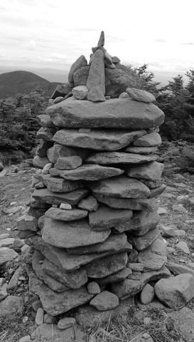
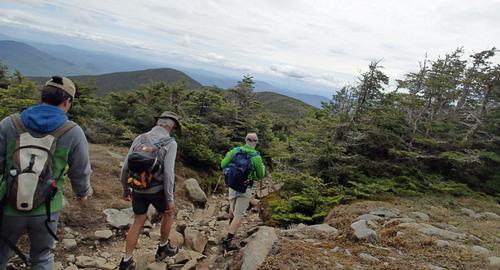
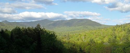
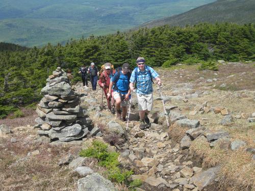
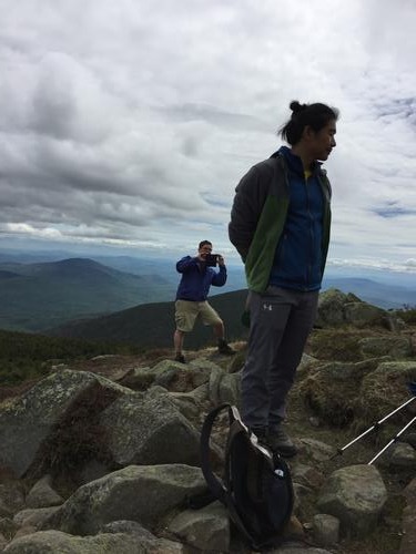
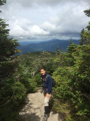
The climb from here to Mt. Moosilauke was straight forward, and with a final push up a steeper segment just past the junction with the Benton Trail, we popped above treeline to awesome views. As always with Moosilauke, the views are superb when you have them, and we enjoyed every bit of them for the rest of the gradual walk up to the (predictably) busy summit.
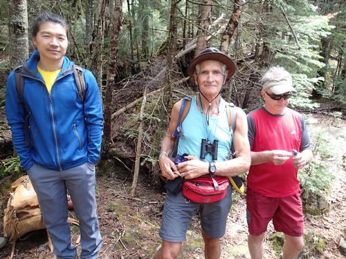
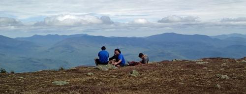
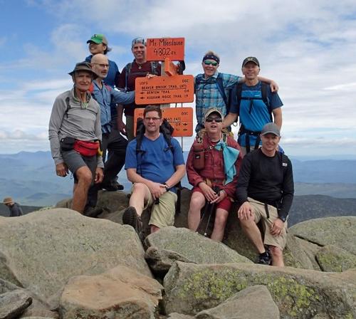
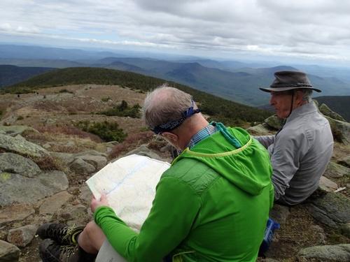
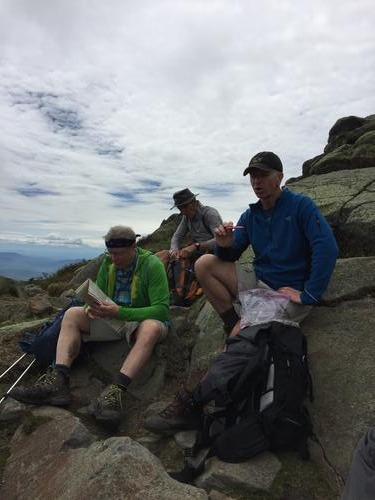
It was breezy on what is normally a windy peak (arguably almost as windy normally as Mount Washington), and we took a lunch break here like everyone else was. Its bare summit commands wide views in a complete circle! This was Chuck’s and Joe’s first 4,000 footer! And the first time that Tim and Phil have been to the Mt. Moosilauke summit!
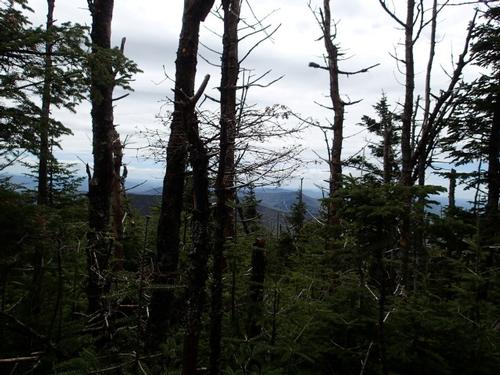
Eventually we tore myself away and headed down the ridge to Moosilauke's South Peak. We got cool views of the Tunnel Brook Ravine. We originally planned to climb South Peak looking at our watch, it was best to move on. Next time!
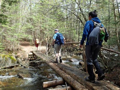
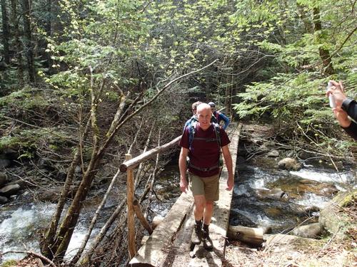
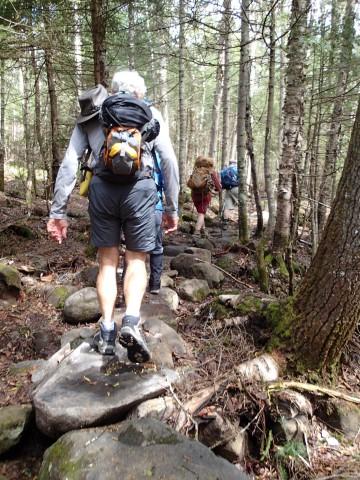
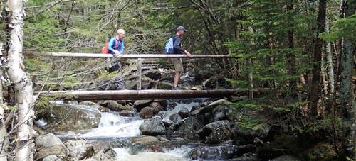
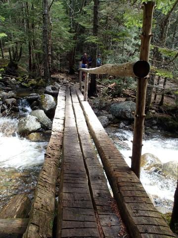
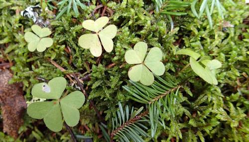
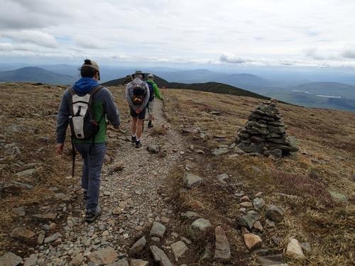
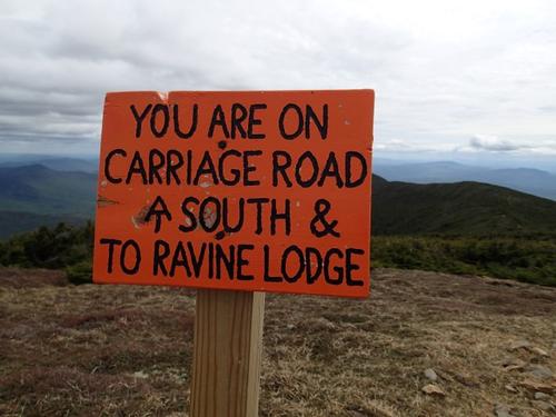
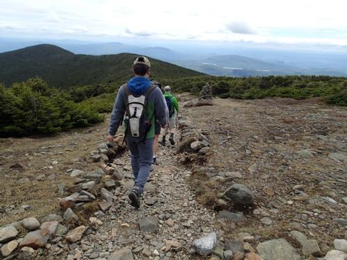
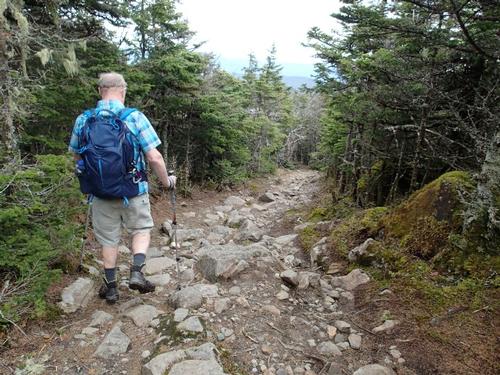
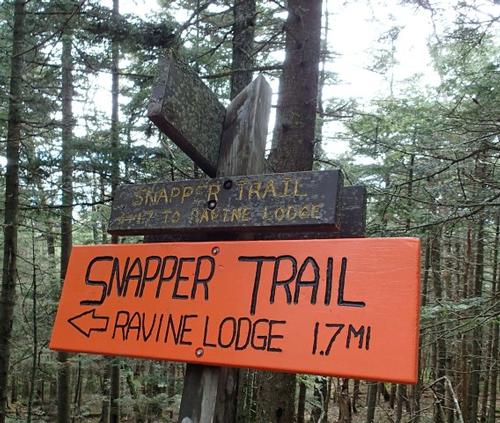
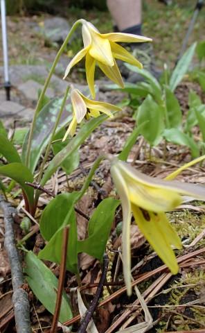
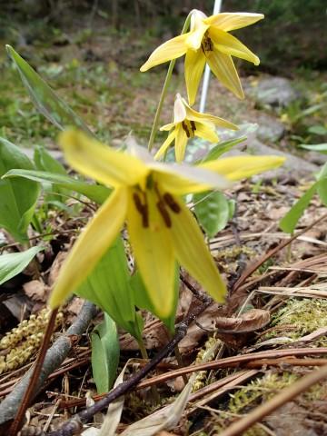
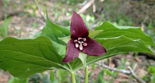
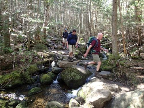
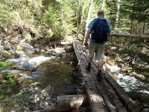
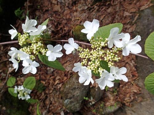
Returning to the Carriage Road, we descended roughly 1.2 miles to Snapper Trail. The first stretch on Carriage Road was its usual rocky self, but we really enjoyed the second half with far fewer rocks. When we reached the Snapper Trail, we were hiking in some really nice hardwoods and wildflowers: Trout Lilly and Red Trillium. Once on the Gorge Brook Trail, we had the seemingly never-ending climb to the parking lot from the main stream crossing on the Gorge Brook Trail at the very end. A terrific loop, with lots of lightly-traveled trails, but as is typical with the Dartmouth Outing Club that maintains these trails, they were all easy to follow and overall maintained very well.
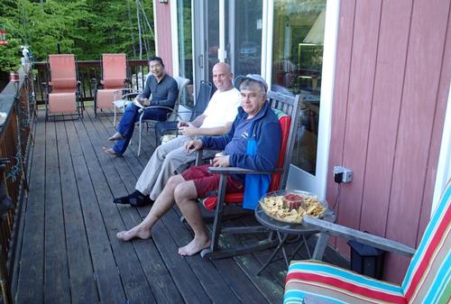
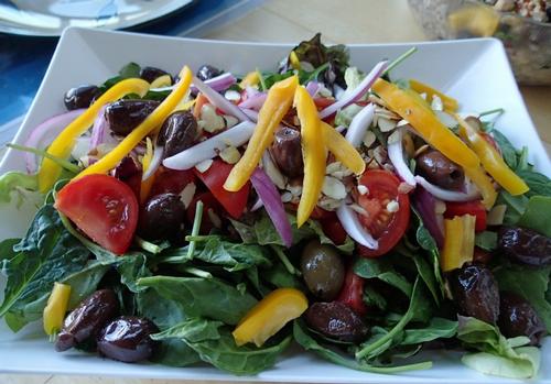
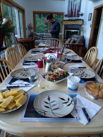
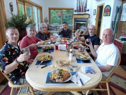
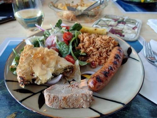
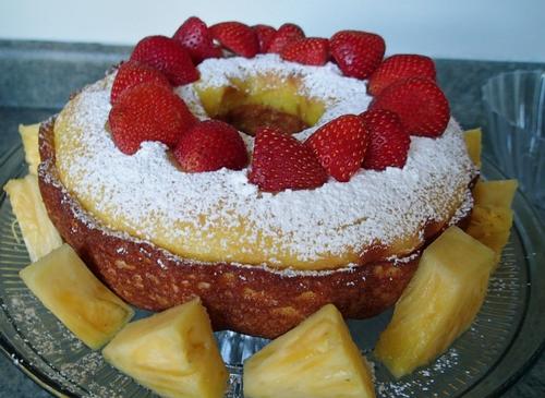
Afterwards, seven of us returned back to the Mad River Lodge to relax on the deck and enjoyed a delicious meal prepared by Jon ending with a lemon pound cake topped with strawberries. It was so great to be with like-minded men enjoying nature and the beauty around us! Until next time!
Trip Report by Mike Boisvert
Pictures taken by Jon Normand
Event photos (93)
Reactions
Log in to react to this trip report.
About this event
With an elevation of 4,802 feet, this southwestern outpost of the high peaks is unmatched for the variety of views! Looking to the east and northeast from Moosilauke’s bald top you see range after range of the White Mountains leading to Mt. Washington.
This is a loop, leaving the Moosilauke Ravine Lodge heading up the Asquam Ridge trail to.... Mt Jim at 3.6 miles! Then on to the Beaver Brook trail and Mt Blue (via a short herd path), then to the Benton trail and up Moosilauke at 5.8 miles. We will return to the lodge via the Glenncliff trail to the South peak, then the Carriage Road to the Snapper trail and finally the Gorges Brook trail. This is a little longer hike than usual, about 9 miles, and the gain to Moosilauke from the Lodge is about 2,300 feet. The longer distance in general means less steep trails on the way up for this hike, but you still MUST be in good shape.
What to wear/bring: Wear clothing suitable for the hike...dress in layers...no cotton or blue jeans. Don't forget a rain jacket in the event of inclement weather. Bring along plenty of water (at least 2 liters), lunch, snacks and anything else you may require for a day hike. Contact us if you have any questions.
Boston Area Carpooling: Save money by sharing gas/toll expenses and get to know fellow GO members better! Don't be shy. Contact other Bostonians to find a convenient location for you to meet such as a T-Stop, Commuter Line Stop, or a parking lot of a store familiar to you all! Don't forget to tip the driver!
Afterwards: Everyone is welcome to join us back at our house in Waterville Valley to relax by our fireplace [BYOB and bring snacks] followed by one of Jon's delicious dinners. We ask $10 per person to help pay for our food costs. Showers are available so bring a change of clothing to make your visit with us more comfortable.
Lodging Option: Bunk beds are available at our house [with Wi Fi] near Waterville Valley, NH for Friday and/or Saturday nights. It's $25 for Friday night, $35 for Saturday that includes dinner or $60 for the weekend. Coffee/bagels each morning and linen/blankets/towels are provided. Space is limited so email ASAP to reserve a bunk!
Who came along (8)
 SUSTAINING
  SUSTAINING
  GUEST MEMBER
  SUSTAINING
  GUEST MEMBER
  GUEST MEMBER
  GUEST MEMBER
Comments
Log in to join the conversation.