
Port Mayaca - Chancey Bay | Lake Okeecho
Lake Okeechobee | Port Mayaca - Chancey Bay
The trip report
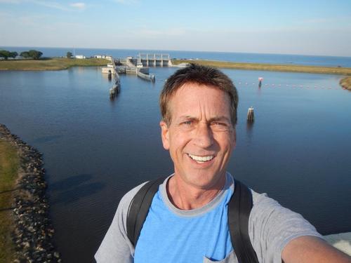
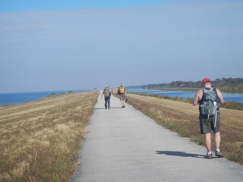
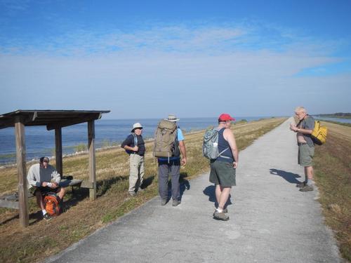
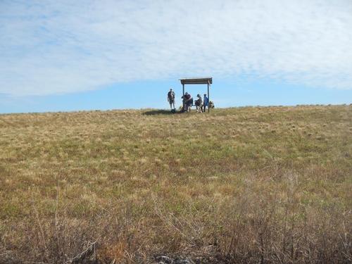
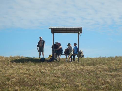
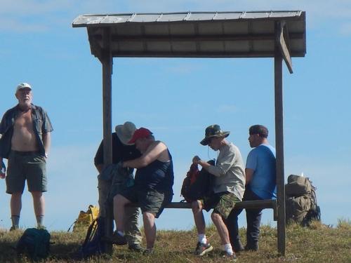
We had 6 for this 10 mile shuttle hike on the Eastern Shore of Lake Okeechobee. (L-R) Andrew, Carlos (front), Douglas, Dennis, Derek, & John (me). Douglas & Andrew carpooled to meet at the end point where we parked a shuttle car. We started within 20 minutes of the scheduled 8AM start.
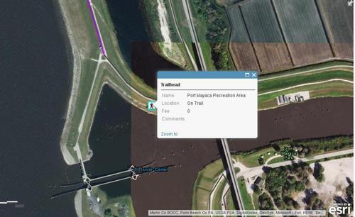
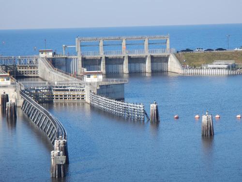
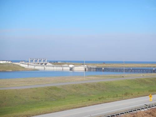
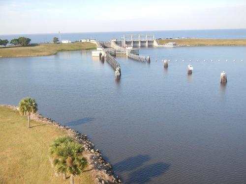
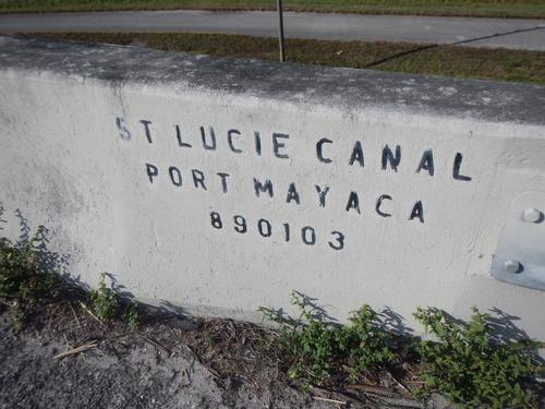
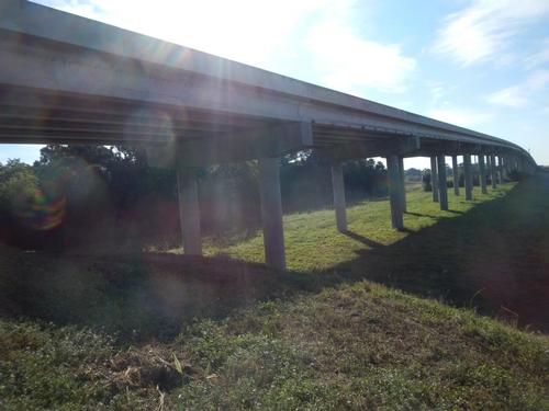
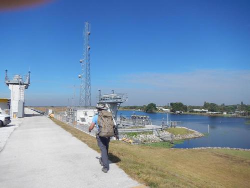
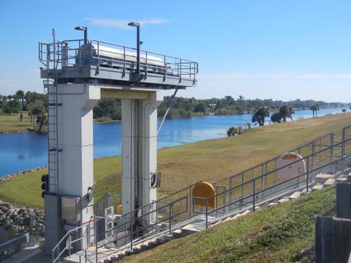
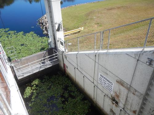
Weather was exceptional. Sixties in the morning to high -seventies mid-day. Lots of sun and some high clouds. We started on the south side of the St. Lucie Canal at Pt. Mayaca adding another mile for the road walk over the bridge with switchbacks to the north side. The bridge gave a sweeping view of the canal lock & drain gates to the lake.
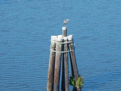
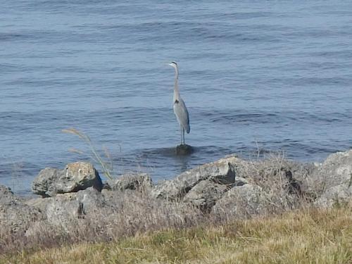
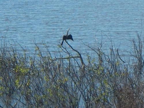
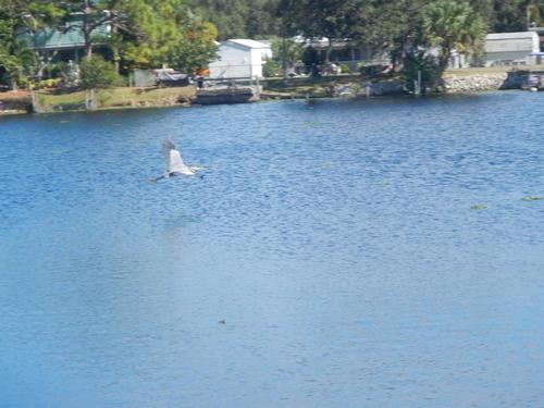
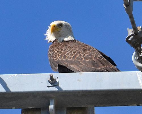
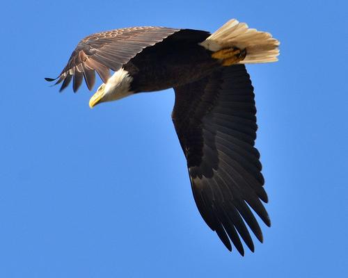
Douglas was our resident photographer & bird watcher and shared his knowledge & keen eye to spot numerous species local to South Florida. The high point was just before we jumped in our cars to leave an impressive bald eagle swooped in for a landing on a nearby utility pole. Douglas of course spotted it & snapped two real super photos. As of this writing, the rest of Douglas' photos can be seen separately on his personal trip page at this link: www.gayoutdoors.org/page-connect.cfm?typeofsite=profile&username=dougdutch§ion=tripreports
Andrew was our backpacker extraordinaire with his extended pack he had loaded with kitty litter & charcoal for training. Late in the hike on break we tried picking it up and it must have been 100+ pounds. Wow! Talk about stamina.
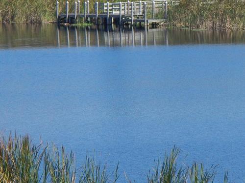
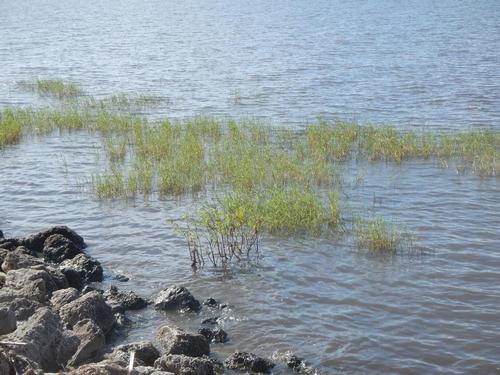
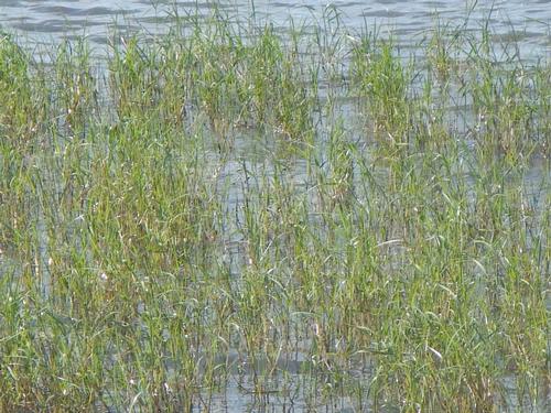
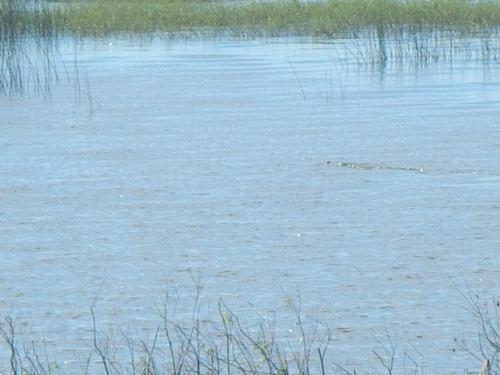
Of course we spotted the required min. 1 alligator for all SoFla hikes. In the marshes on the lake.
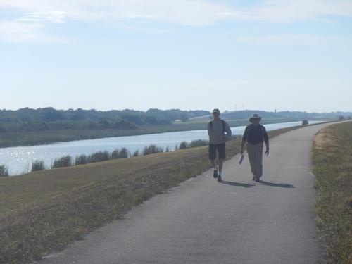
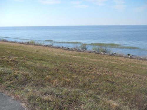
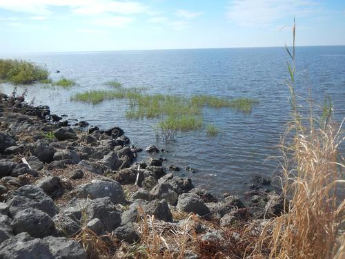
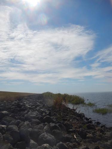
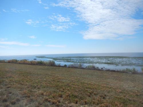
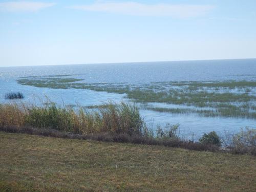
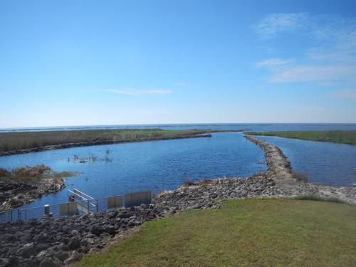
The trail here is paved – but it is along the Herbert Hoover dike – elevated - giving sweeping views of the lake the entire trek. A wide canal bordered to the west making for really great open vistas all day.
The south Florida water management system is a network of canals, lakes, locks & dams designed to allow as best as possible water management for co-existence of Everglades swampland & general civilization. The Everglades is actually one big slow moving river covering practically the entire south of the state.
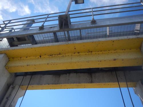
We estimated 4 hours. 10 miles. With rest & scenic breaks. At the end we saw the Chancey Bay lock in operation for a 20 seater pontoon to get from the land side canal to the Lake. The lock operator was friendly & informative for the whole process. Turns out the lake here was not significantly higher or lower than the canal side. Turns out Lake Okeechobee is 12-13 ft. deep.
Lastly we thought we had a historic registered old hotel / inn to visit right across from the start point but it is currently privately owned & occupied as a residence. We were hoping for a haunted mansion.
See you next time!
Event photos (38)
Reactions
Log in to react to this trip report.
About this event
Lake Okeechobee Scenic Trail (LOST)
Port Mayaca - Chancey Bay
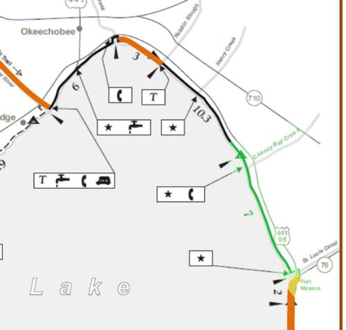
This is a 9.2 mile paved trail along the Eastern shore of Lake Okeechobee. This can be a shuttle hike. Plan would be to meet at the end - Chancey Bay. Head back to the start point. Established TrailHeads / parking at both Port Mayaca & Chancey Bay. Hike 9 miles along paved trail estimating 4-5 hours. Plan to bring lunch like snack.
We'll start on the north side of the Mayaca Lock at the St. Lucie Canal a major waterway from the Lake to the Ocean. The entire hike will have the Lake to the West & a canal to the East. This is one the few sections not closed for Army Corps of Engineers reconstruction.
An easy hike of 9 miles along a historically scenic trail part of the larger Florida Trail which runs the entire length of Florida. Nearby archeological sites of early American Indians date to 500 B.C. Much later, the Seminole Indians used the DuPuis region as a refuge during the Seminole Indian War of 1835, but living on the land proved difficult. Hundreds of starving Indians were captured and sent to Oklahoma. The area became known as "The Hungryland."
We'll hike a little past the north shuttle end point to Chancey Bay Campsite & can stop to lunch.

Comments
No comments yet.
Log in to join the conversation.