
Mt. Passaconway Hike
It was a November’s day well spent!
The trip report
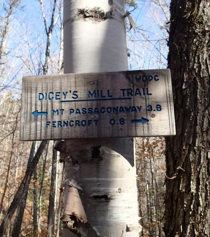
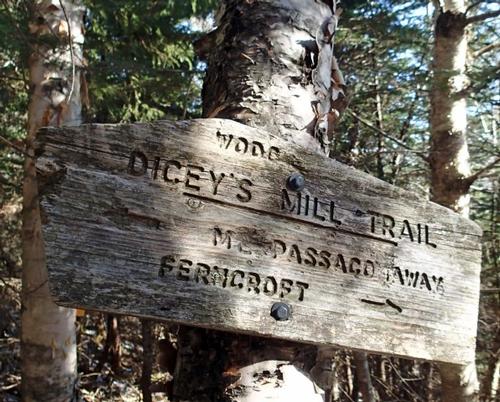
One of the most enjoyable options for a 4,000 footer hike in November is Mt. Passaconaway via the Dicey’s Mill Trail from Wonalancet. This venerable route – cut in 1891 by a group of local residents led by the Appalachian Mountain Club’s Charles E. Fay – has easy to moderate grades with only a couple of steep pitches near the top.
The trail is south-facing and in the woods all the way, you’re protected from bone-chilling northwest winds. It’s a longish hike at 9.2 miles round trip with nearly 3000 feet of elevation gain, but to me it always seems easier than some shorter and steeper treks.
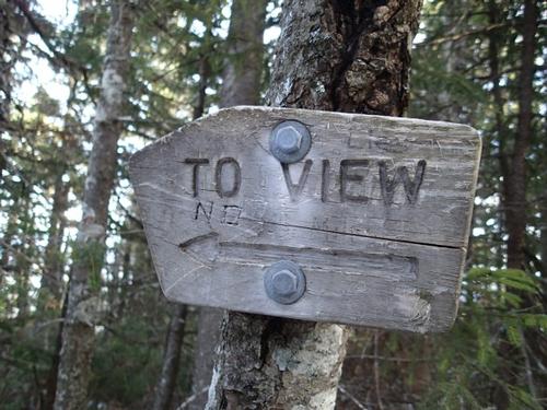
Mt. Passaconaway’s dark and distinctive cone rises in the center of the Sandwich Range, looming larger than its elevation of 4043 feet. Its densely wooded high point grants no views, but there are two outlooks close by and two more that can be reached with down-and-back-up side trips.
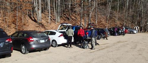
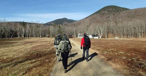
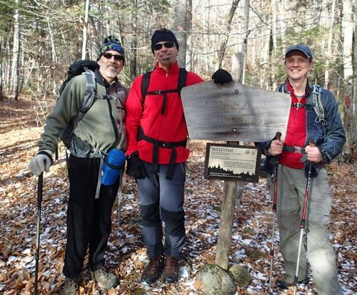
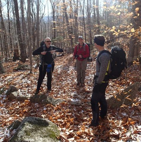
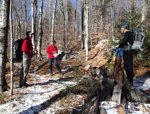
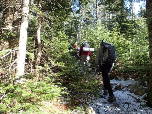
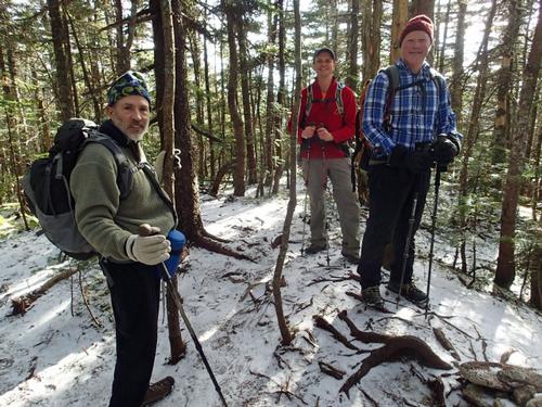
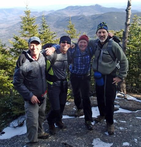
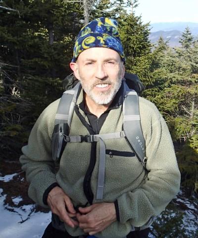
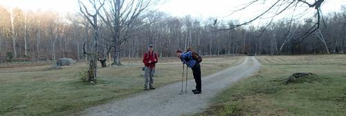
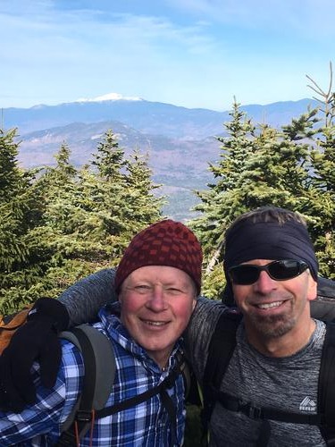
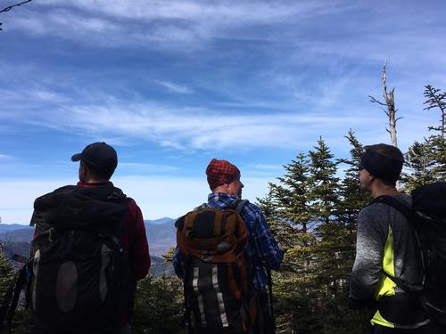
Four GO members climbed Passaconaway on a sunny day in mid-November 2016. The sun was brilliant and no wind when we pulled in to the Ferncroft trailhead.
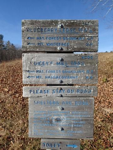
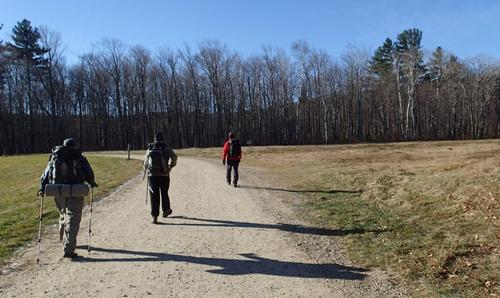
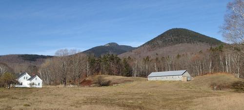
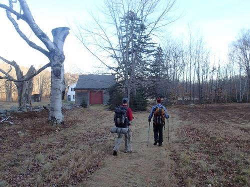
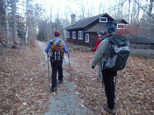
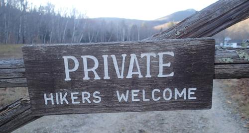
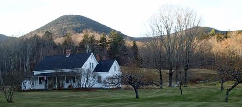
The Dicey’s Mill Trail led up a quiet road past several houses, then through a field by another house and into the woods. I am always grateful to the landowners for allowing access through their property.
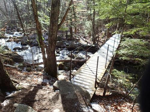
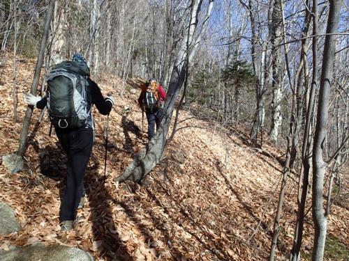
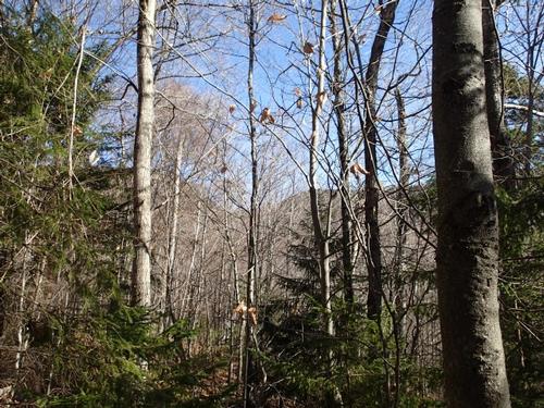
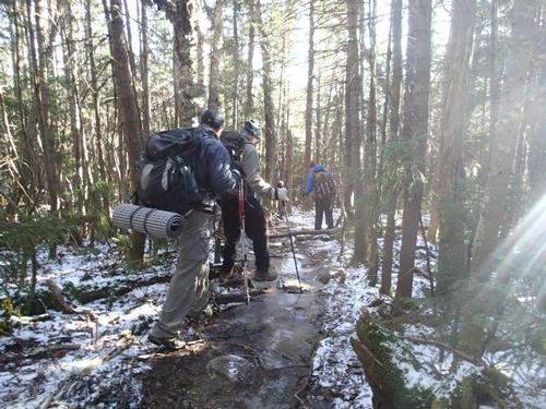
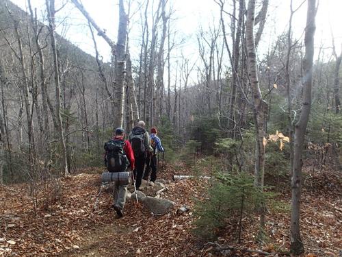
Soon the trail entered the National Forest and the Sandwich Range Wilderness. We plodded up the long, steadily climbing curve known as the “S” after the junction of the Blueberry Ledge Cut-Off trail that has a bridge crossing the Wonalancet River. The grade soon eased for an enjoyable stroll through a bright, open hardwood forest. The trail was covered by thick leaves so we had to be careful not to place a foot into a hidden hole.
Serenity ruled here in the deep valley of the Wonalancet River. A chipmunk was scrambling to gather nuts before winter’s arrival. Chickadees chirped in the woods. But with the thermometer at 40 degrees, winter is knocking on our door.
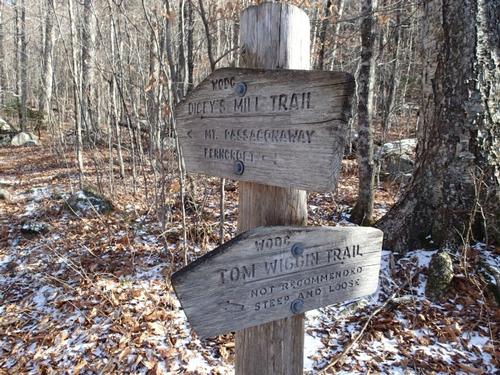
Beyond the Tom Wiggin Trail junction the trail meandered through a particularly fine hardwood stand, entering The Bowl Research Natural Area. This includes the valleys of two branches of the river, the western one flowing through The Bowl proper, a beautiful glacial cirque between Mts. Whiteface and Passaconaway. In this upper valley the woods were never logged. They were saved nearly a century ago largely through the efforts of Katherine Sleeper Walden and other stalwarts of the WODC. Though the virgin spruce at upper elevations was badly damaged by the 1938 hurricane, there is still old growth hardwood on the broad valley floor. Some of the trees are estimated to be more than 400 years old. I’ve explored it many years ago and Martin expressed interest in doing the same sometime in the future.
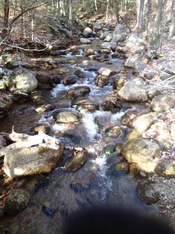
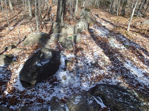
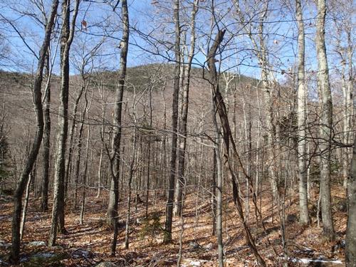
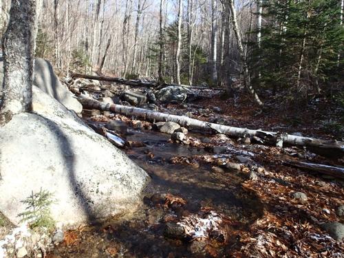
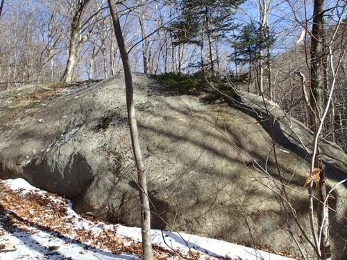
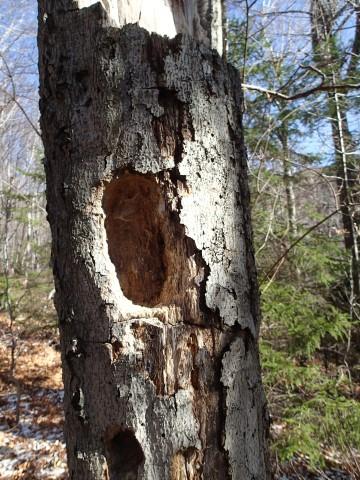
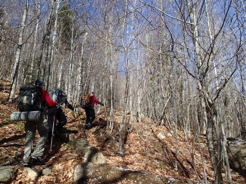
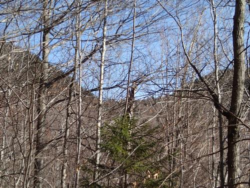
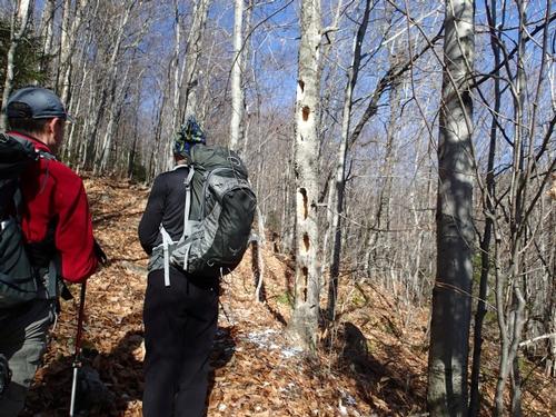
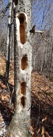
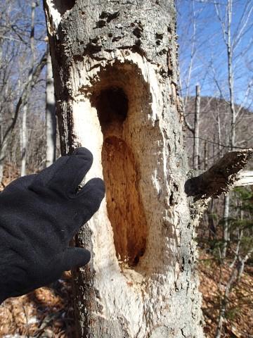
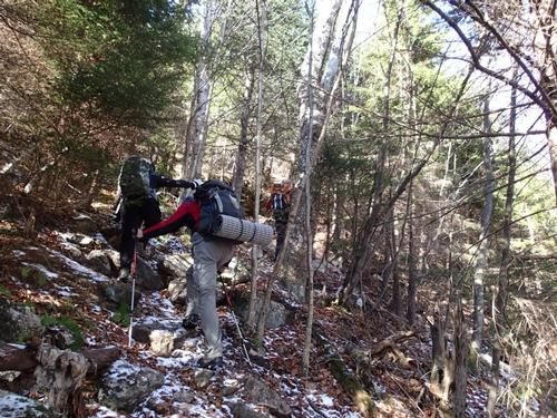
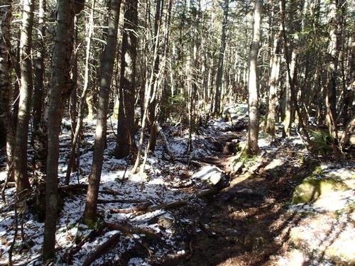
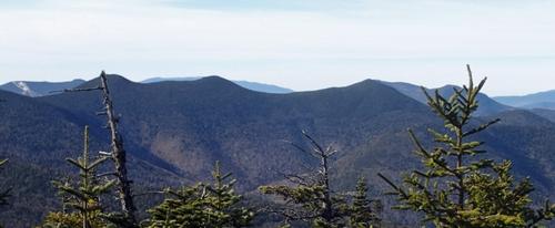
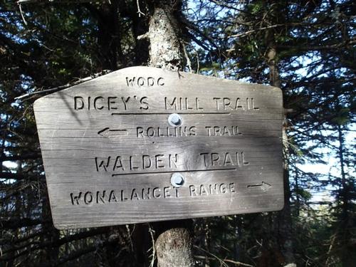
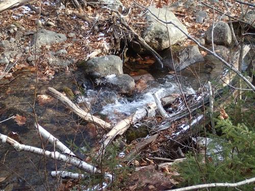
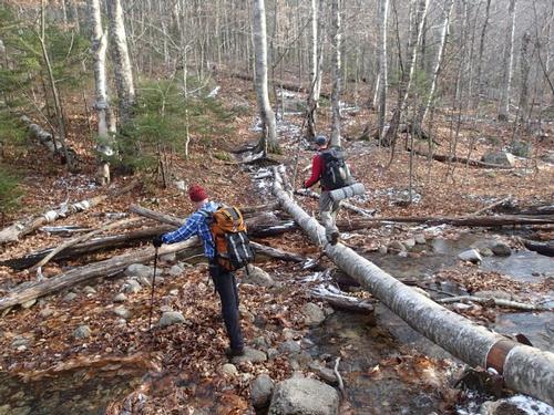
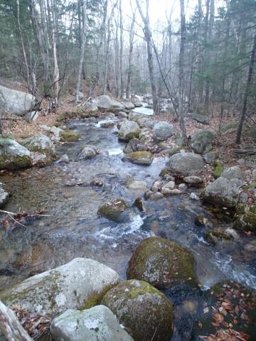
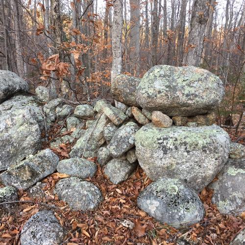
We reached the easy brook crossing at 2.3 miles near the old mill site. We soon passed this huge elongated boulder. The big rock marks the start of a mile and a half of more serious climbing up the side of a ridge that splits the two valleys of The Bowl area. It’s never really steep, just steady, with views through the trees to the wooded Wonalancet Range. As we ambled along, we saw large woodpecker holes in the trees; most likely made by a pileated woodpecker. We were happy to reach the sign for the Rollins Trail at the top of the ridge, with a mile to go to the summit.
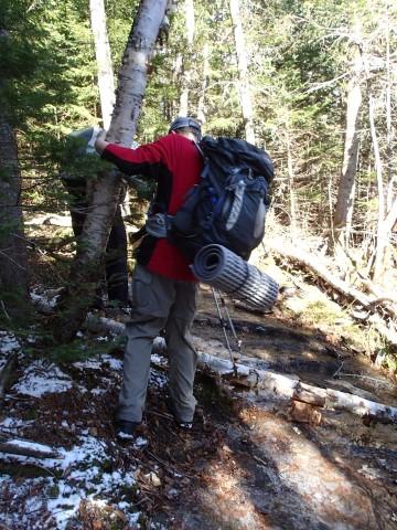
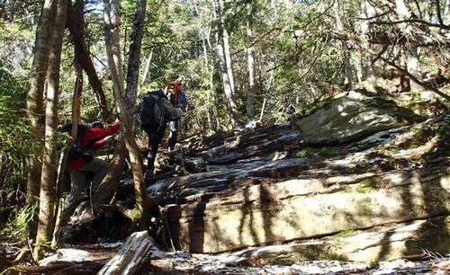
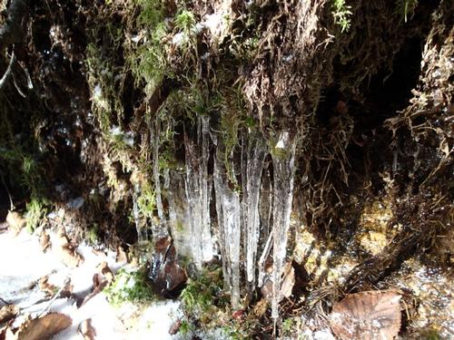
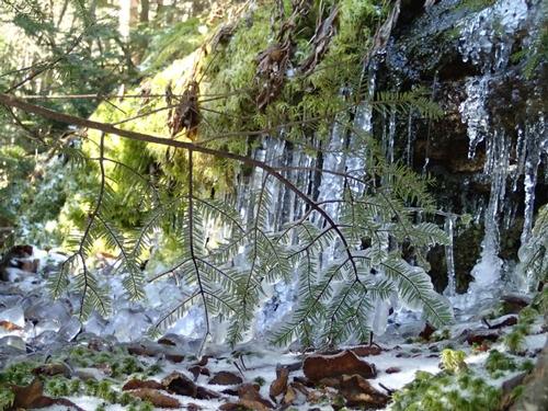
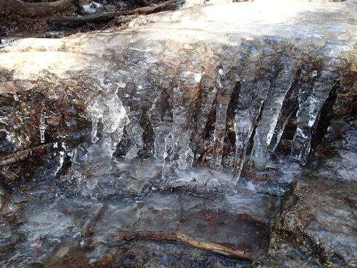
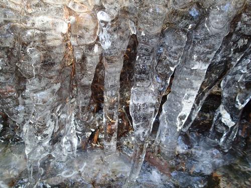
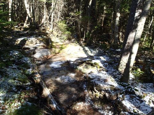
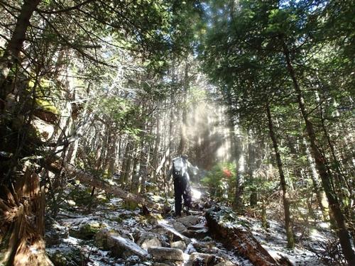
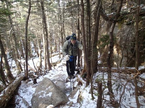
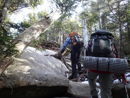
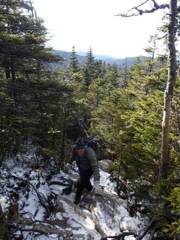
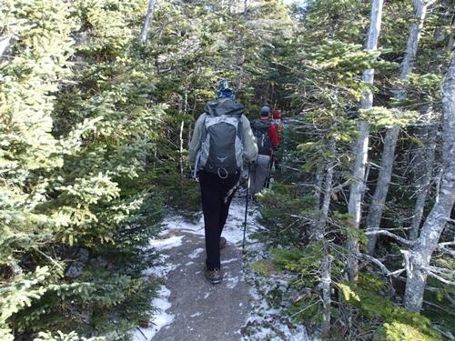
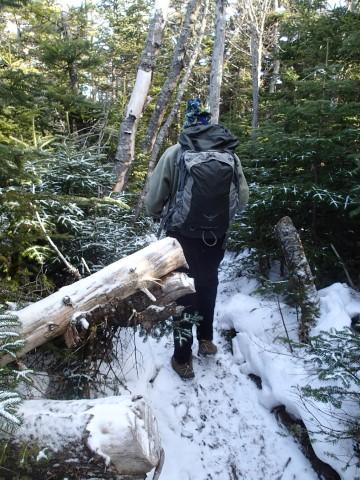
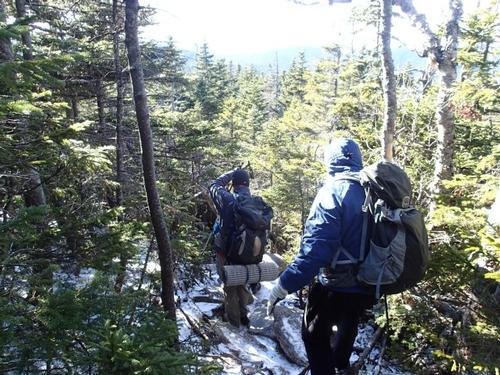
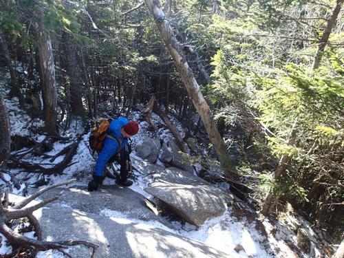
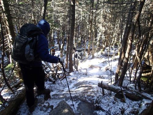
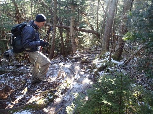
After skirting some ice on the trail, we passed the East Loop junction and followed the Dicey’s Mill Trail up several easy switchbacks through an open conifer forest. The trail attacked the upper cone of the mountain with two bursts of steep climbing and one final, careful scramble up a ledgy, icy chute.
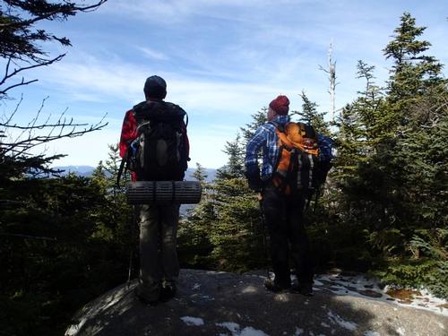
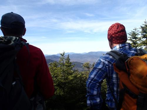
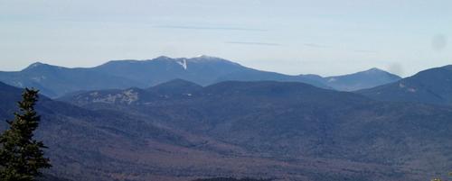
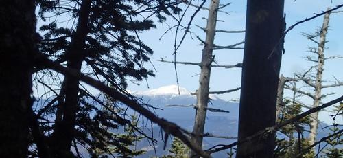
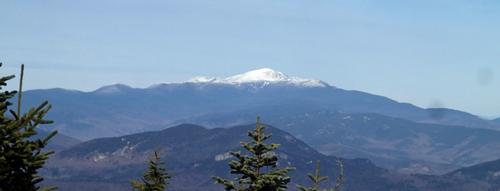
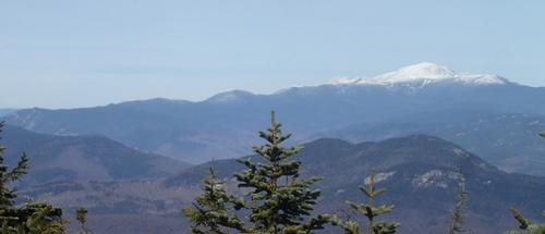
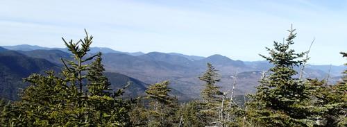
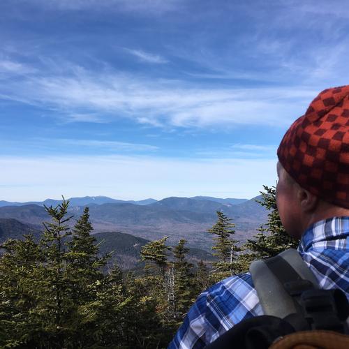
At the top we emerged at the western outlook, where the 90-mile visibility promised by the Observatory was revealed. Breathless from the climb, we stared at dozens of sharply-etched peaks rolling off to the horizon, from the nearby Tripyramids to the distant snowy crest of the Franconia Range.
Just past the outlook a short side path led to the treed-in summit, a sheltered place to add some layers. We did see quite a few dogs of all sizes and breeds out hiking today. They all seemed to be having a great time. As we left the summit a group in their 20's were approaching to tag the summit.
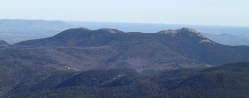
We then continued across the summit plateau to the shady east outlook, a ledge that was originally cleared by the naturalist Frank Bolles around 1890. Here there were dramatic views across to Mts. Paugus, Chocorua and the Presidential Range. We met a dad with his handsome son [in his twenties] who completed his 38th 4,000 footer by tagging this peak.
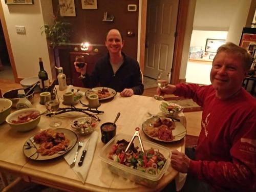
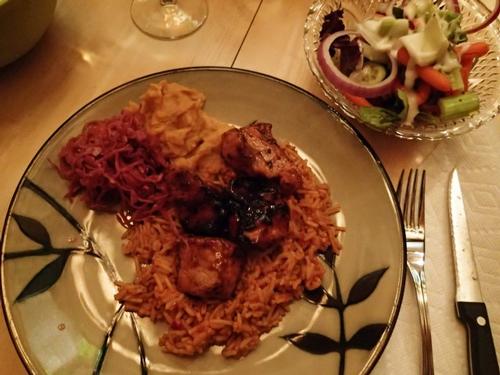
We then left to descend via Dicey’s Mill, the same way we climbed up. The mostly mellow pitch of Dicey’s Mill Trail made it a pleasant trail to descend. For this average-speed hiker, it took two hours down compared to four hours up. Martin returned back to our house to spend the night and another delicious meal was prepared by Jon. It was a November’s day well spent!
Trip Report by Mike
Pictures by Jon
Event photos (92)
Reactions
Log in to react to this trip report.
About this event
Mount Passaconway is a 4,043 foot mountain in the White Mountains. Many hikers miss the good views around the summit area, though there are none on the actual summit.
We will hike the Dicey's Mill Trail to the summit of Mount Passaconaway (4043'). This trail starts from the Ferncroft parking area. 4.5 miles, 2,800 foot ascent. 9 miles round trip. With shortened daylight it will be a full day; plan accordingly. While the summit has no views, there are several view points rather close to it that allow views in nearly all directions. Mt. Passaconaway is the 42nd highest peak in New Hampshire.
What to wear/bring: Wear warm clothing suitable for the hike in layers...no cotton or blue jeans. Wear a warm hat and gloves and bring handwarmers as a precaution. Bring along plenty of water (at least 2 liters), lunch, snacks and anything else you may require for a day hike. Contact us if you have any questions.
Afterwards: Everyone is welcome to join us back at our house in Waterville Valley to relax by our fireplace [BYOB and bring snacks] followed by one of Jon's delicious dinners. We ask $10 per person to help pay for our food costs. Showers are available so bring a change of clothing to make your visit with us more comfortable.
Lodging Option: Bunk beds are available at our house near Waterville Valley, NH. It's $35 for Saturday that includes dinner. Coffee/bagels each morning and linen/blankets/towels are provided. We have limited space in the fridge to store your beverages/food so it's best to bring a small cooler. Space is limited so email me ASAP to reserve a bunk!

Comments
No comments yet.
Log in to join the conversation.