
Ocean to Lake Trail - milepost 40-47
Ocean to Lake Trail - milepost 40-47 - Trip Report
The trip report
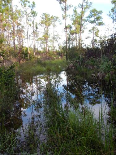
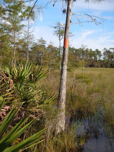
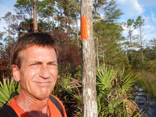
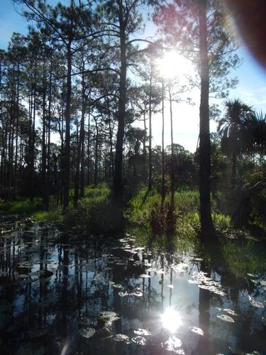
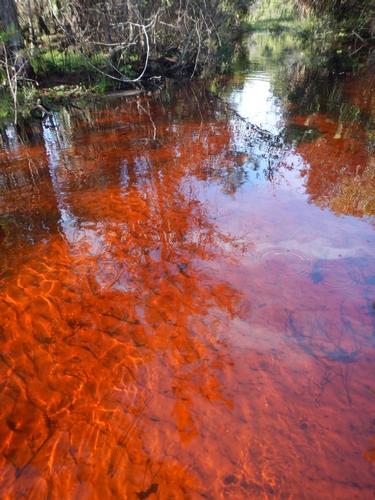
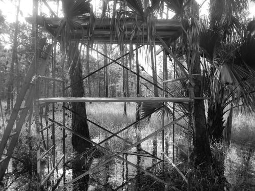
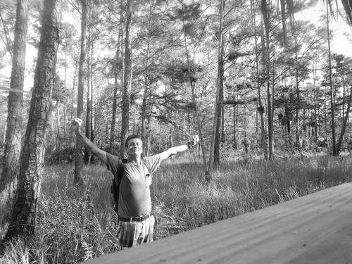
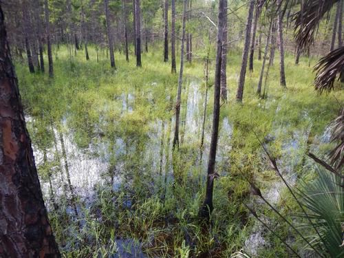
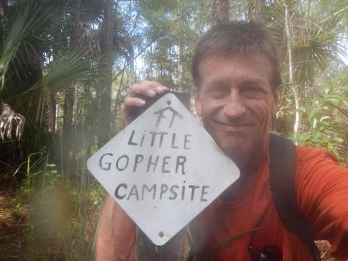
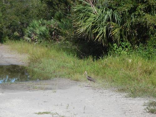
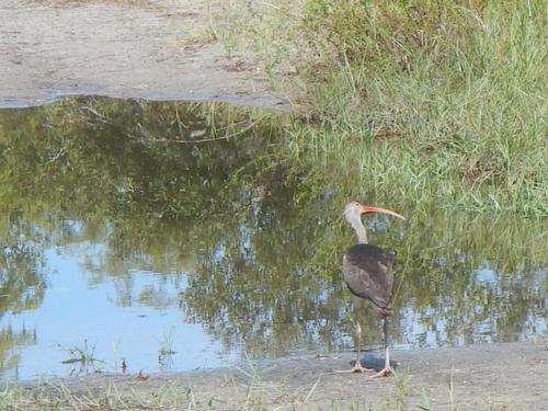
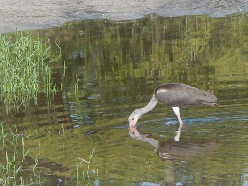
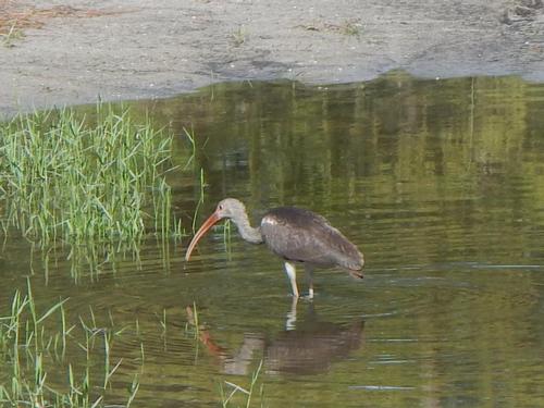
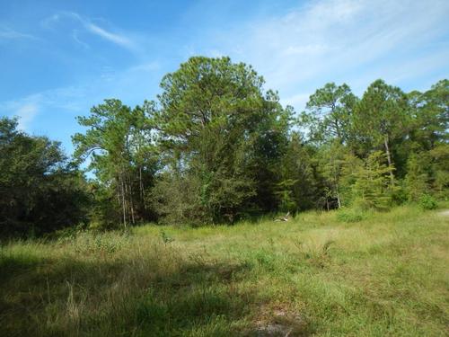
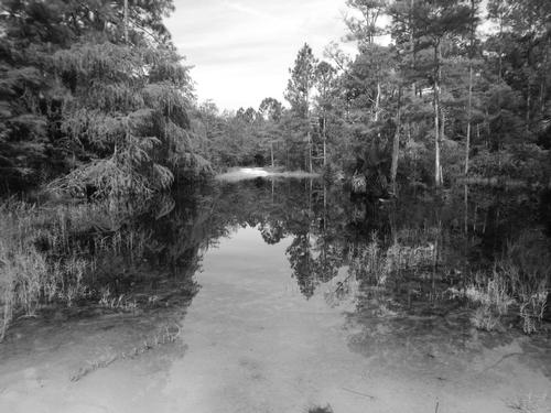
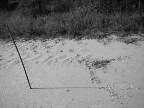
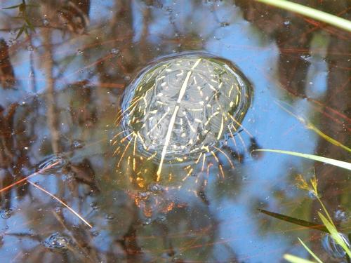
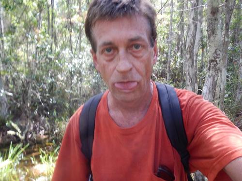
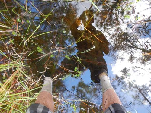
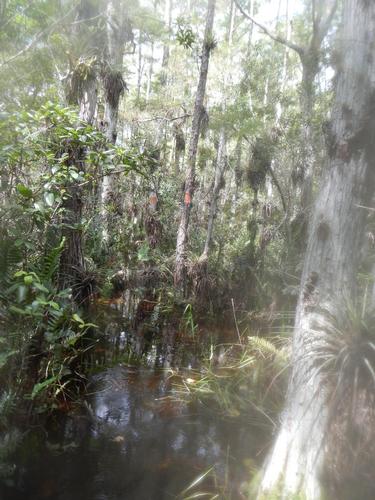
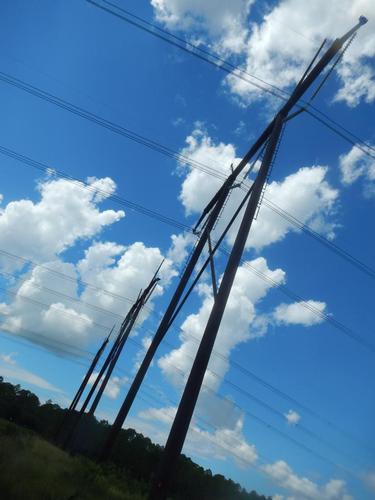
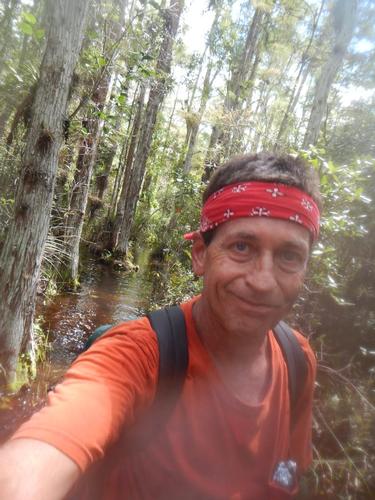
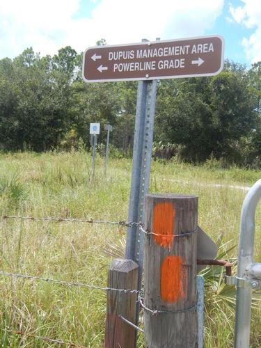
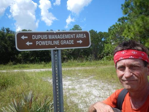
This hike went as planned with an interesting but unexpected ending. This became a solo hike. Ignacio had not hiked recently nor ever in the Everglades & Rene was out of town. This is the wet season. We saw this in July & virtually the entire trail was foot deep plus water. I started early, found the trailhead & felt great. I made 1-1/2 miles per hour & made the 7.2 mile trek to Dupuis Management area as planned by 1:30 stopping for lunch, pix & sights.
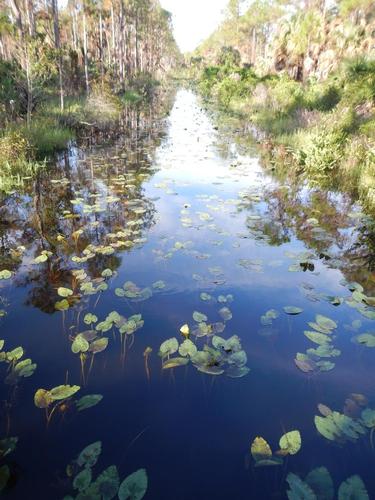
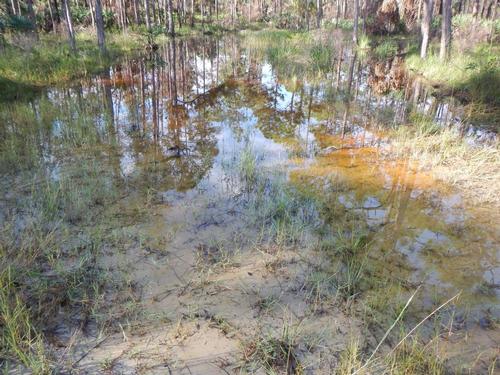
The plan was to use one of the in-park access trails, mostly used by ORV's, to return. Since they crossed the Ocean to Lake trail various times I could see they were flooded as well. But not completely. But service road flooding could be hundreds of yards long and waist plus deep in the centers. I feared a little for gators. But at 1:30 I decided to make that choice.
The in-park access trails seemed to be ok at first but got progressively worse and are not well marked. Using my map I made some turns and by 4pm I was completely out of trail. It just ended. And thunderstorms were close by. I had to bushwack & my only navigation was to head east. Then I had to move to a tree line to wait out heavy lightning. I could see those thick bolts stay in the sky up to 10 seconds. But the worst of the storm stayed a mile or so away.
I figured I had 3 hours daylight left and to be honest was getting concerned. My guess is between 5-6PM I found myself back at an intersection of an in-park access trail & the blazed trail I hiked that morning. But after awhile, now clouds breaking, I realized I was heading west – the wrong direction. I turned around and power hiked until after 7. Using my flashlight to see a blaze then see my steps. All this time – water was everywhere. No place to even sit down. Then about 7:30 I was at a cross section of several in-park access trails & a canal crossing. It was dry about 100 yards in each direction. Semi-open. I am convinced I had a power greater than me guiding me. I figured I was 3 miles from my start point that morning. It was too dark & I was too tired to continue. But I had some respite.
I didn't panic. Although not planned I was prepared. First, knee high dry socks with plastic bags because the shoes were still wet. Then canal water purified with tablets & I also had a backwoods filter device for my water bottles. I had dried fruit w/ sugar that kept the hunger away. Then I started a fire with dead palm fronds. Proudly I started with one single match. The rain was not so heavy that many dry palm fronds were laying around I was able to keep at least a small fire or coals going all night. I used the fire to dry my clothes almost completely. Had plenty of Deet to keep bugs off. I used fresh palm fronds to make a makeshift mattress.
I dozed now and then but did not want to sleep thru the nite as critters may be about. The canal was small & there was a water management culvert that would keep any gators from making near where I was their stomping ground. Lightning continued in all directions on the horizon all night – but the sky was crystal clear & was able to use some star constellations to confirm E & W.
A little after first light around 7 I again decided to use the in-park access trails back to the surface road and my car. I think I may have hiked 15-17 +/- miles (in & out) - all in water. But more and more the in-park access trails were not flooded. & I began seeing humans again out in their ORV's. If I couldn't walk on my own I could get help.
I've thought a thousand thoughts, should have waited 'till dry season; shouldn't have gone alone; shouldn't have gone so far; should have back hiked on the trail; a cell would not help since no signals, but all-in-all it was a very energizing & learning experience. I have absolutely zero regrets & it's an experience I will think about & treasure for some time to come. Talk about “off the grid”.
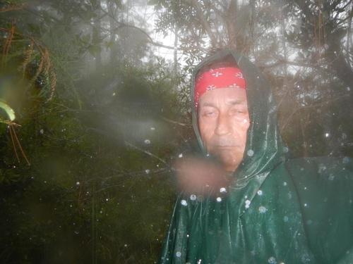
The pictures stop at 4PM with me in my poncho waiting out the storm & I decided to focus on my situation and not take any more pix or anything that wasn't necessary.
It may have been my farewell “swamp” hike. I don't mind hiking thru some water – but for 10+/- total hours – I'll probably plan some dry trails for awhile. Thanks for reading. See you on the trail.
Event photos (36)
Reactions
Log in to react to this trip report.
About this event
THIS IS REPEAT POSTING FOR THE HIKE IN JULY WHERE THE ROAD WAS WASHED OUT & DELAYED ACCESS TO THE TRAILHEAD – SO 2ND TIME WILL BE A CHARM!
The Florida National Scenic Trail (FNST) is 1 of only 11 National Scenic Trails in the country, and 1 of 3 contained entirely within a single state. This hike is a 7 mile segment of the Ocean to Lake Trail - technically a side trail of the (FNST) - which runs from Hobe Sound on the ocean to Lake Okeechobee - 63 miles inland. We will take side trail #4 & service road back to make a ~14 mile loop.
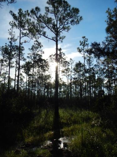
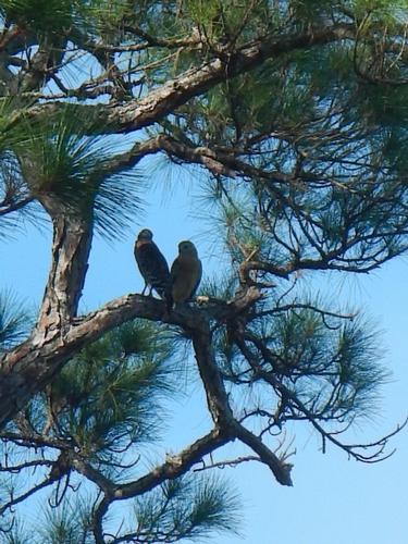
Swamplands, pine flatwoods, scrub, and saw palmetto are frequently seen on the southern portions of the FNST. Some of the common types of wildlife seen in this region include: alligators, cattle, panthers, Florida black bears, and many different bird species. Great opportunity to see the Seminole lands before the casinos :). Great picture taking and quiet wilderness.
GOOD - LIGHTWEIGHT - hiking shoes & extra socks. You will hike through extended water sections up to thigh deep and sections of wet mud. Shoes should be light & sturdy & fit snuggly. NO PETS. Bring bugspray & sun block. Although I've been hiking segments this May-June - bugs have not been an issue. Many portions of the trail are shaded, others are open and lots of sun. WATER - 2 liters recommended. Water available along the hike but needs treatment filters or purifying tablets. Water will be very important. I freeze 2 1 liter bottles & put in the fridge the night before & have cold water most of the day. I've found a lite lunch - a sandwich & small snacks adequate for the estimated 6+ hours from start to finish.
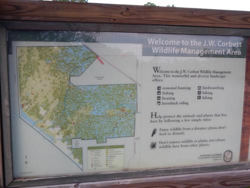
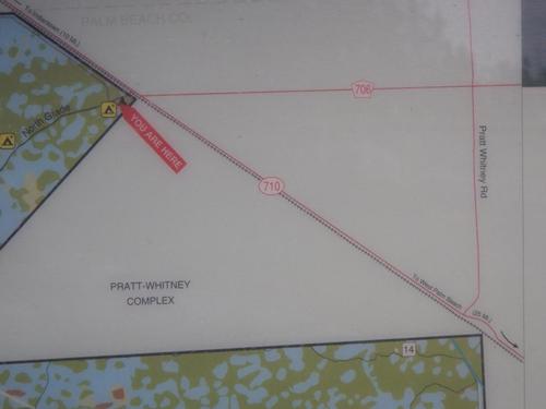
We will pickup the trail insde J.W. Corbett Wildlife Management Area on South Grade Rd at milepost 40.7 (E-W) of the Ocean to Lake Trail (about 9 miles SOUTH of the NORTH entrance to J.W. Corbett W.M.A. Where BEE LINE HIGHWAY meets NORTH GRADE ROAD) then hike west 7 miles to Dupuis Reserve boundary - then back along trail #4 inside J.W. Corbett W.M.A. to South Grade Rd.
Who came along (0)
No sign-up roster was recorded for this event.
Comments
No comments yet.
Log in to join the conversation.