
The trip report
This is really a trail of two hikes... But before we get into all of that… the decision to hike this day was a calculated moment, one of reading forecasts, polling trip members and truly following your “gut” instincts. By Friday the forecast was dismal and it was clear the best I could hope for was a cloudy day. On Saturday – the hike was a go. My soul needed nourishing and it was time to connect with nature. The forecast for Sunday was for a 70% chance of showers with total accumulation under a half inch and temps in the low 60’s. With proper gear, dress and good spirits, this could be managed.
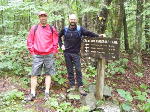
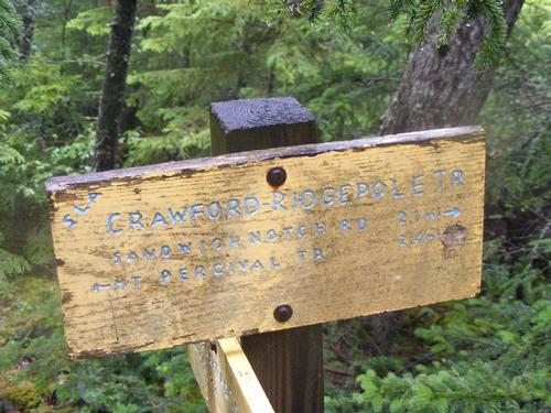
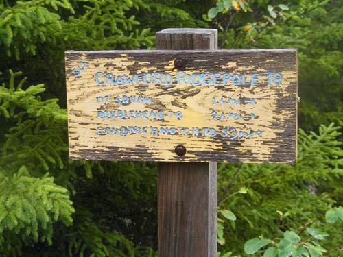
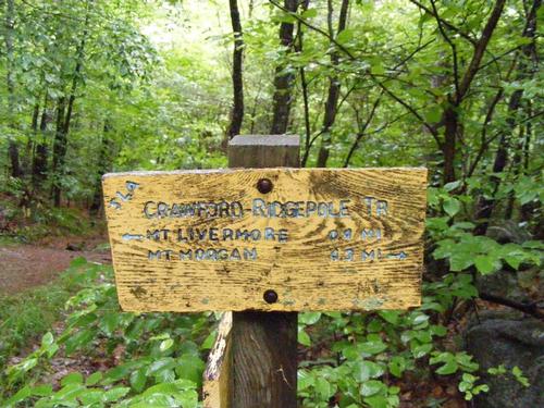
In the end I met up with Randy, Steve and Phil. Sadly, co-Leader Eric couldn’t make it and others had dropped out. I had to navigate solo! Randy is a new GO member and this was our second hike together. I hiked with Steve last fall traversing the Wildcats, it was good to see him and catch up and Phil has become a steady hiking mate. The trail head for Cotton Mountain was an easy find and we all met up by 8:15am. Steve volunteered to drive to Sandwich Notch Road so we all piled into his SUV and made our way to the trail head of Crawford Ridgepole Trail. Parking was indeed limited to two cars but on this day we would be alone. Had there been a need, just down the road from where we came was plenty of extra space for cars and it would be less than a mile hike to the trail head.
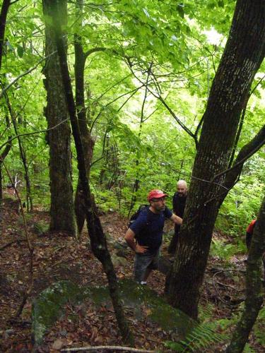
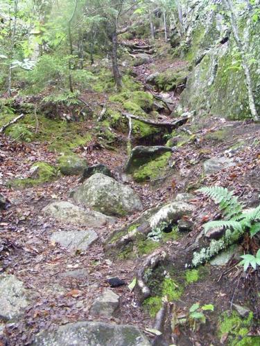
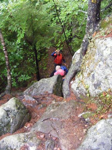
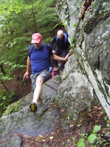
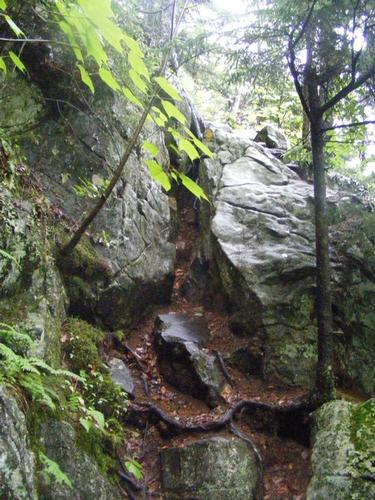
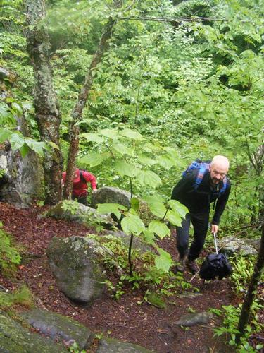
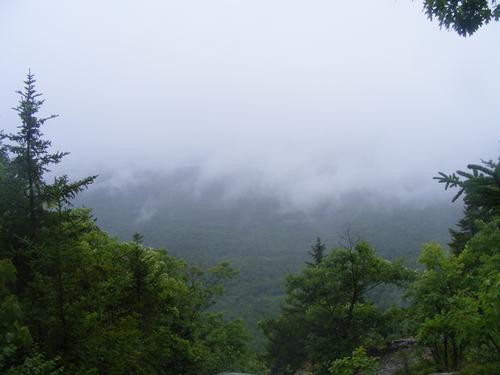
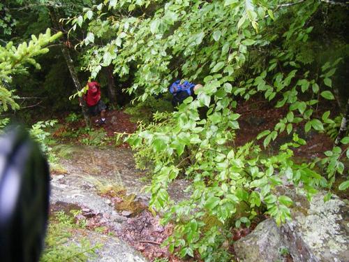
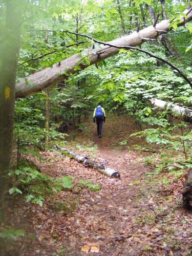
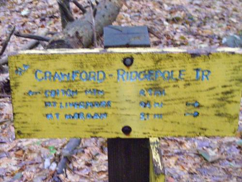
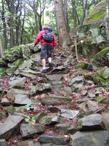
Out of the gate this trail starts to climb and does so until it levels off at the ridge. Our first summit was 1.9 miles away, Doublehead Mountain (2,158’). The way up was steep, steady and roughly 1,000 feet of elevation gain. Along the way there were several rock scrambles which offered something unexpected and unique. I’d characterize them as manageable but we did lend assistance on one of the scrambles where those who might not tower at 6’2” might have a challenge getting over a few rocks. What I loved most is the climb kicked in right away, got your heart thumping, the lungs working double time and within minutes had your breathing and pace set to carry on. Doublehead was a non-descript summit… on this day being socked in by the clouds, lingering at the summits seemed rather pointless, lol, but we carried on just the same. We stopped for a break at the junction of Doublehead Trail (which takes you down to Route 113) and the Crawford Ridgepole Trail.
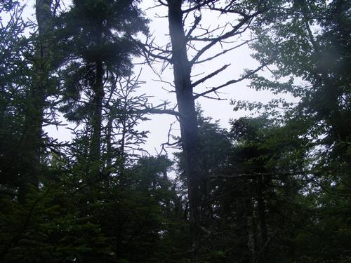
Shortly after moving on towards Mt. Squam (2,223’) it started to rain. No to worry, this was expected. Some of us suited up in rain gear and we carried on for 1.1 miles to summit. Here the rain seemed to abate and we lost the rain gear. With no views to be had we moved on towards Mt. Percival (2,212’) tackling 1.1 miles. While hiking along the ridge the rain started again and we ventured the rain would be short lived and carried on. Sadly we got wet – very wet - and from this point forward I’d say the day was going to be wet, lol.
We arrived at Mt. Percival at noon and here we lunched. We all brought something to eat but shared in cherries, granola and I brought a special treat – Belgian chocolate and caramel crisps. These were awesome – they were thin wafers of chocolate shaped link pringles chips with caramel bits embedded in them. A very refined desert to lift our spirits!
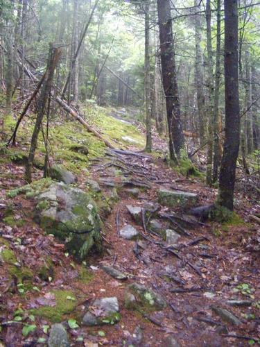
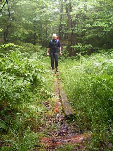
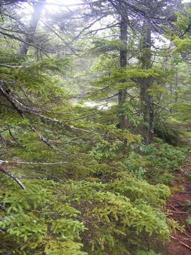
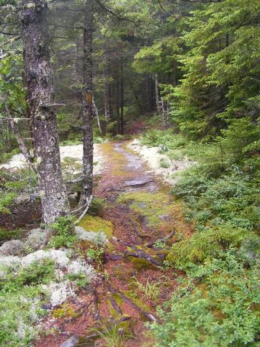
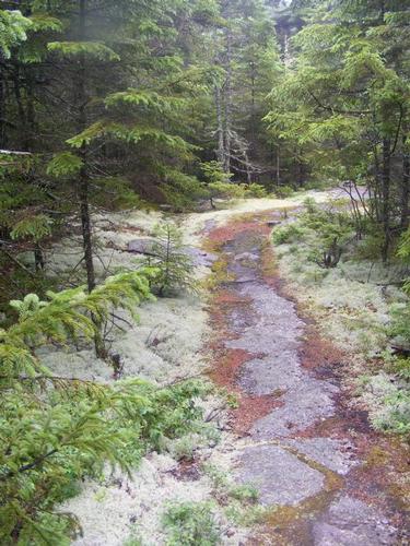
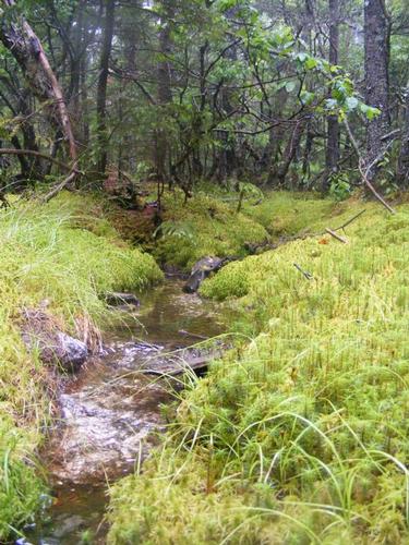
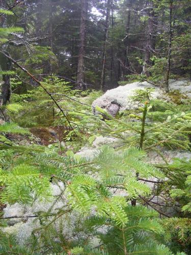
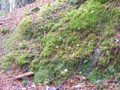
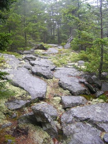
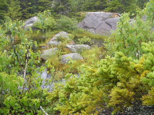
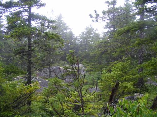
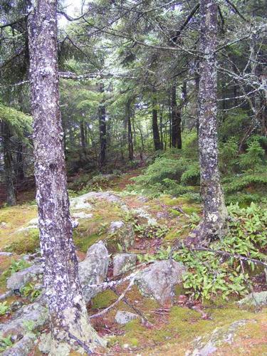
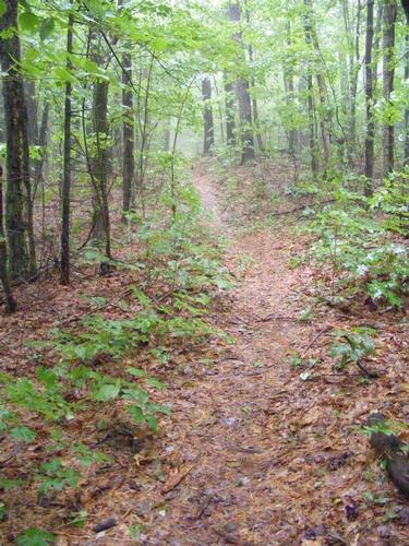
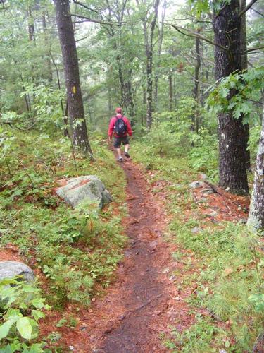
When I mention the trail of two hikes… you’ll note in the early photos a stunning flora of ferns, blueberry bushes and mosses along open ledges. Once we ascended the first 1,000 feet, the hike became a series of short, rugged ascents and short steep descents, sometimes into a gully or small ravine, sometimes just a knoll… all periodically dropping you under the tree line then popping you out to these stunning open ledges. As this trail is not heavily hiked, the foot path is narrow and well worn but leaving natures creation intact and on full display. It seemed the rain intensified the colors. I’m sure there is a name for this kind of growth at this elevation – truly my favorites and we had lots to admire on this day despite the rain.
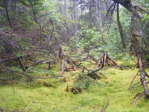
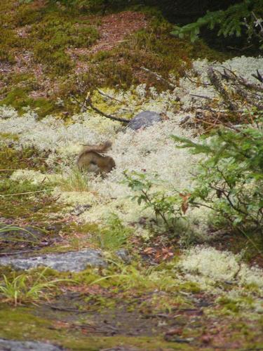
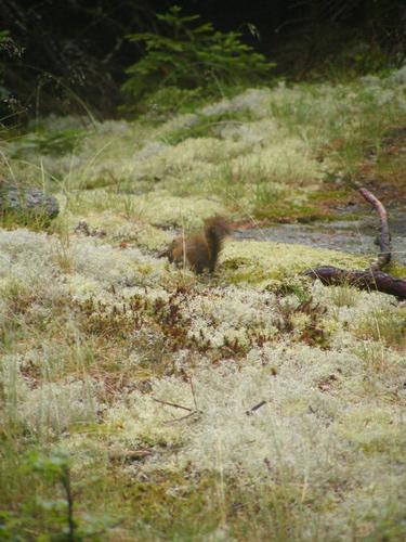
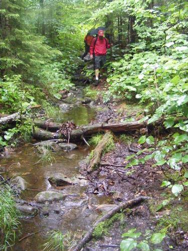
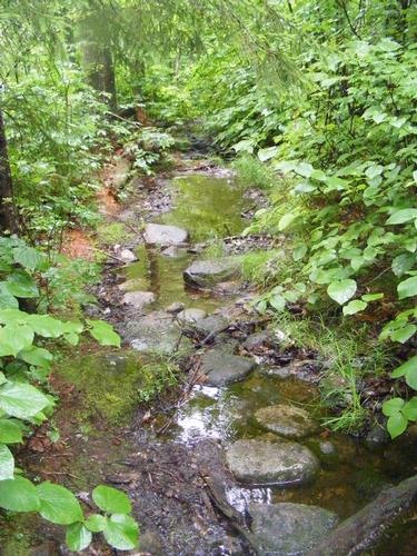
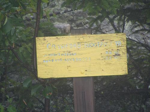
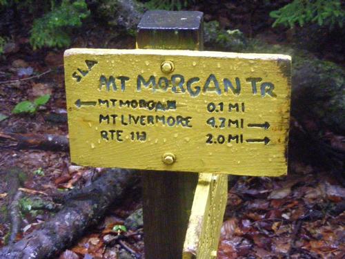
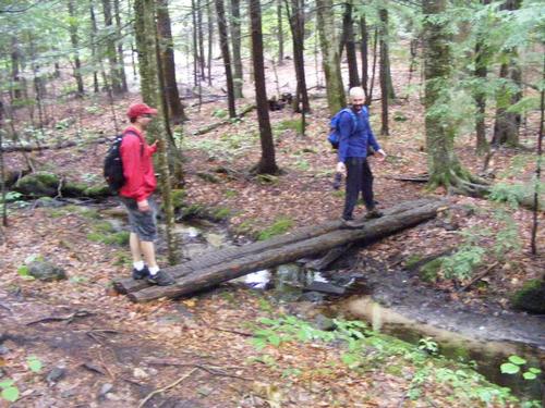
After lunching several of us changed into dry clothes, sported our rain gear (lesson learned) and carried on to Mt. Morgan at 2,220’. As we were leaving Mt. Percival we noticed two hikers reaching the summit but we did not stay to chat. By far this was the wettest, muddiest and hardest part of the hike. Although it’s only .8 miles from Mt. Percival, we encountered lots of mud, trails that were flooded, plenty of moose dung and moose tracks but sadly no wildlife to mention. The rain was steady and the areas of open ledge were more slippery but we took our time. Despite the deteriorated conditions, we were really enjoying our time on the trail. At the summit of Mt. Morgan we bumped into our second hiker of the day, a very nice woman who hiked up the Mt. Morgan trail from Rt. 113. Mt. Morgan is known for its ladders and caves which we opted to forgo given the wet and slick conditions. From this point forward we encountered no other hikers, the trails were ours.
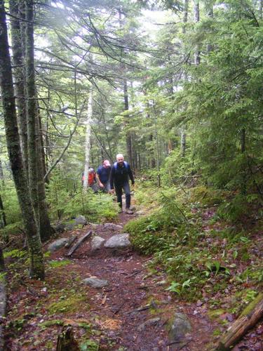
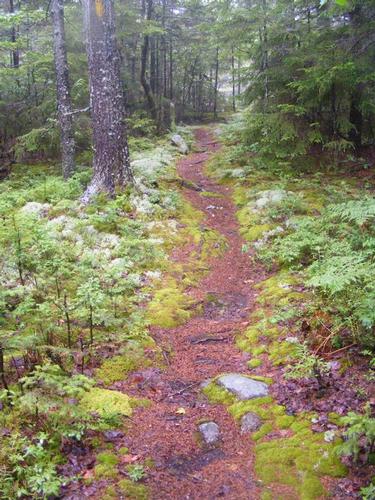
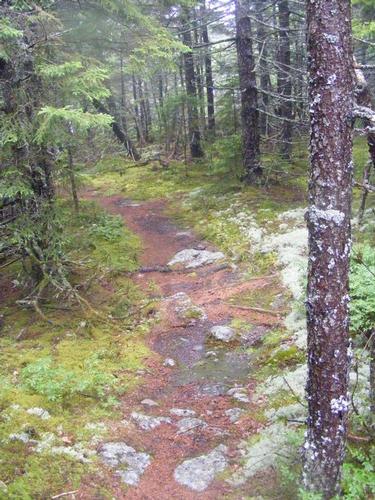
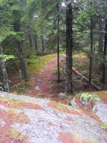
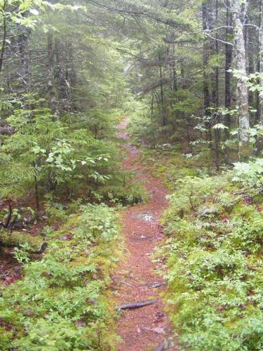
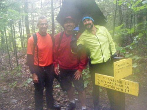
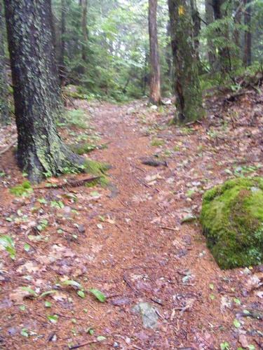
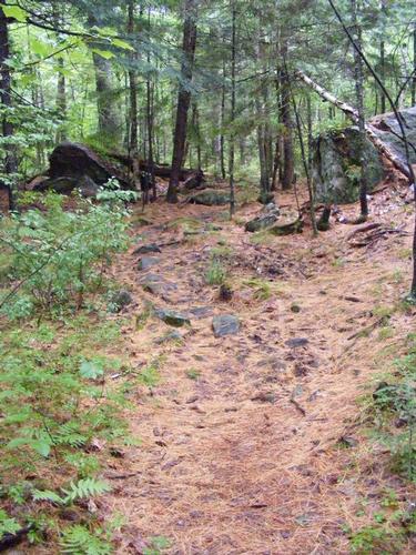
Mt. Morgan is 6.3 miles from our starting point and we now had 5.7 to go. Going to back to the trail of two hikes, from Mt. Morgan we descend steeply to make our way to Mt. Webster (2.076’), then to Mt. Livermore (1,490’). It’s four miles from Morgan to Livermore and they were the flattest and most serene four miles. It was still raining but we were well under the canopy of leaves which left us reasonably protected from the light rain. We took our group photo at the junction of the Mt. Morgan Trail and Crawford Ridgepole Trail. Here the forest is more open, the trees deciduous in nature mixed in with lots of pine trees and you can see from the photos how the pine needles mark the trail for us. On this section we could smell the earth, it truly was a very different landscape and it was truly a very flat four mile excursion which was a welcome change from the wet rock scrambles and open ledges from the first half of the hike.
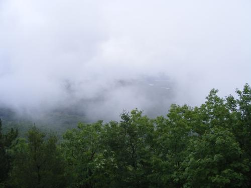
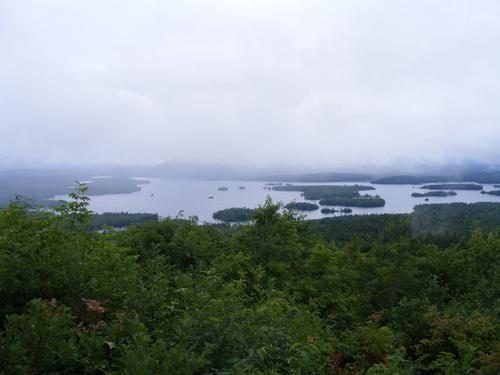
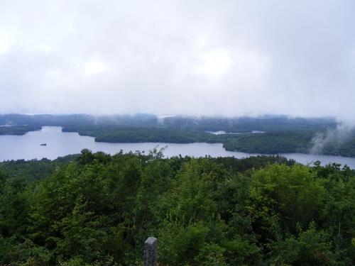
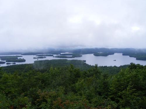
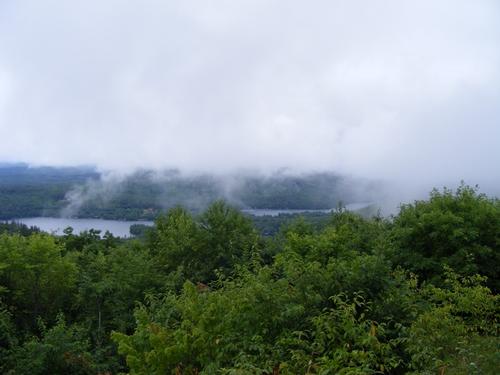
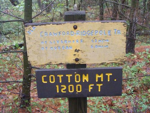
The views of Squam Lake are from Mt. Livermore. Naturally as the day progressed the skies began to clear. Full sun did not break out but as we were descending and the rain was lifting it gave us a glimpse of what we could have seen all day long! We all decided it was well worth the adventure and how amazing this hike would be on a crisp, clear fall day. We paused here for snacks and bantered a bit. As it began to drizzle we suited up and made our way to Cotton Mountain (1,210’) but not before a short and steep descent only to face a short but steep ascent. We took a brief pause on the summit of Cotton then carried on for an additional .7 miles to reach the day’s destination. Overall we tackled seven summits, 12 miles, started at 9am, finished at 4:30pm, and had a brilliant time of it all.
Nature is to be appreciated in everything she offers and on this day it was rain, clouds and a landscaped alive and well hydrated after such a long period of dry weather. Everything seemed a bit more rich and colorful. We had an awesome time and I say THANK YOU, Steve, Randy and Phil for sticking it out and sticking with me. We are a special kind of hiker to venture out in less than sunny skies.
After the hike I managed to find a spot to take a dunk in the lake (Alone again, come on guys, get your splash on!!). The water seemed quite warm compared to the temperatures. I didn’t linger long as we were meeting for dinner afterwards but no trip to New Hampshire for me is without a dunk in fresh water – LOVED IT!! We ate at Walter’s Basin Basshole Pub – highly recommend it. The food was great, the company even better!! Cheers Gents, until next time!!
Event photos (55)
Reactions
Log in to react to this trip report.
About this event
Join Eric and me on Sunday July 10th for a traverse across the Squam Range from Sandwich Notch Road to Cotton Mountain. Along the way we’ll be hitting the summits of Doublehead Mtn (2,158’), Mt. Squam (2,223’), Mt. Percival (2,212’), Mt. Morgan (2,220’), Mt. Webster (the little one – 2,076’), Mt. Livermore (1,490’) and Cotton Mtn (1,210’). This is a moderate to strenuous hike of approximately 12 miles. Moderate is for the low elevations, strenuous is for distance, descent and ascent between summits. I have not personally hiked this traverse but don’t be fooled – you will be tested on endurance and strength – just the way a hike should be. Being in nature is restorative for me, the more challenging, the better! We’ll be meeting at the trailhead for Cotton Mountain off of 113. From there we’ll count heads and assemble into one or two vehicles to make our way to the Crawford-Ridgepole Trail along Sandwich Notch Road. Per the AMC guide, there is space for two cars at the trail head – hopefully we’ll have one – if not, we’ll have to regroup just a short jaunt away to other parking spaces and hike back to the trail head. Sandwich Notch Road is not maintained in the winter and based on a recent hike, the road could be rough – sedan style cars are not recommended. We’ll traverse to Cotton Mountain and make our way down the Cotton Mountain Trail to where we left our cars off of 113. I’ll be driving a grey Honda CRV .
This hike will be a beautiful day meandering at a nice pace with periodic views of the Squam Lakes region. This should be a nice opportunity to test out one’s “Traverse” desire. As always, hiking gear is required, no cotton please!! It is summer but you never know what the temps can do and the last thing you want to be dressed in is cotton if it rains and the temps fall to 60 degrees!! Bring snacks, lunch and plenty of water – on this hike – three liters should be sufficient. If you want, bring a towel, swimming trunks and clothes to change into - I plan on finding a place to refresh after the hike. Don’t know where yet – but you better believe I’ll be looking for fresh water! For those interested – we can grab a bit to eat afterwards. I’ve booked Soleil into the kennel (Thank you Soleil!!). Those who’ve hiked with me before know I always have to dash back for the puppy but on this day I will not be on a timetable. A forecast of steady rain will cancel but anything equal to or greater than cloudy-cool- dry – we hike on!
A good description of what to expect can be found here as we’ll be doing this hike:
http://www.hikenewengland.com/SquamRange081018.html
Cheers!!
Comments
No comments yet.
Log in to join the conversation.