
The trip report
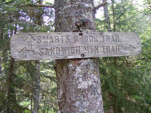
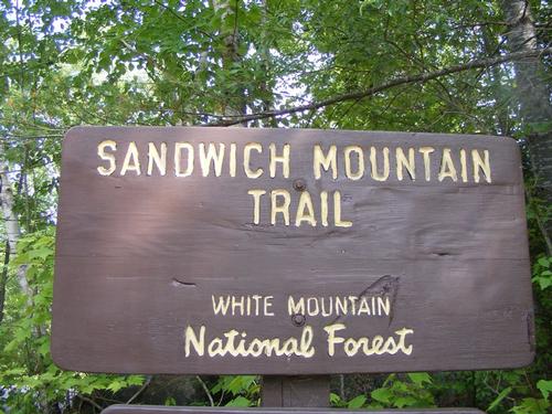
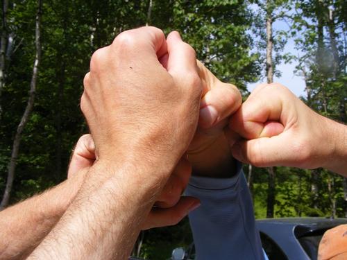
Fresh from being swept down river from the day before, I still had the energy to do some hiking and add to an already fun filled and adventurous weekend. Saturday came and swooshed into Sunday and at 5:30am I was on the road to the Sandwich Mountain Trail Head for an 8:15 arrival. No sooner than I arrived my phone rang – good thing I hadn’t gone tech free yet - it was co-leader Eric letting me know my “estimated” six miles in the directions was really something bigger as he was parked with George at the Smarts Book Trail. “Alright” I said… “whose counting”… But Rabbi Cohen, the man of faith that he is, said “o.k…. I’ll keep driving”… and roughly four miles later we prayed together... L’Chaim – Life is good.
Within moments Rick pulled in followed by Chuck. Eric and I go back a few years, I met George a year ago, Rick’s been a steady hiking companion and this was my first endeavor with Chuck. Chuck – if you don’t know him – has more energy than “____”… well… you fill it in – imagination is always good. I knew this would be a fun day. Chuck and I jumped into Rick’s vehicle and off we went, followed by Eric and George, back to connect with Sandwich Notch Road to make our way to the Algonquin Trail Head.
No adventure is without a moment of the unexpected and our first one came fast. Sandwich Notch Road is not maintained in the winter and the guidebook was clear – expect a rough surface – and rough it was. It’s a good thing we left the cars behind. Rick and Eric sport around Manchester in their respective ATHLETIC utility vehicles, lol. The height came in handy as there was a deep crevasse in the road from being washed away and no four door sedan was going to make it over that. We parked one AUV before the crevasse and we all piled into the other until reaching the trail head. We had to play the car connection game twice to make sure all vehicles would make it in and out of Sandwich Notch Road. Spotting cars, well, can be spotty!!
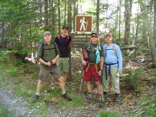
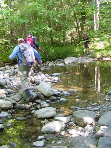
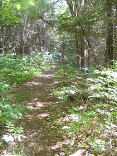
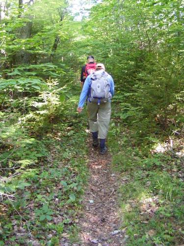
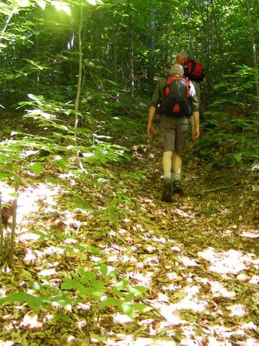
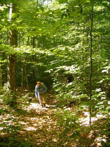
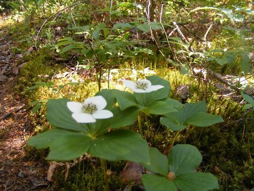
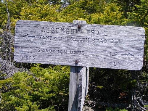
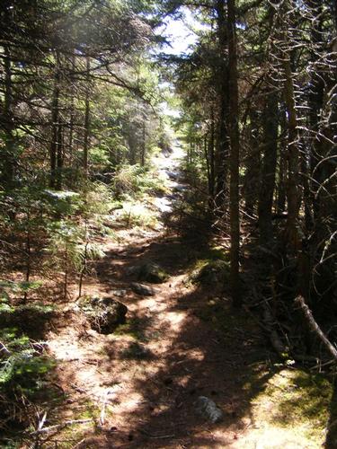
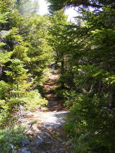
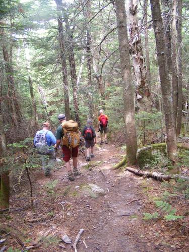
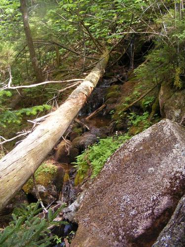
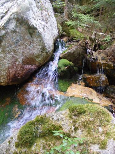
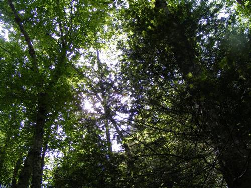
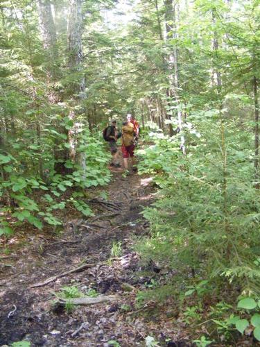
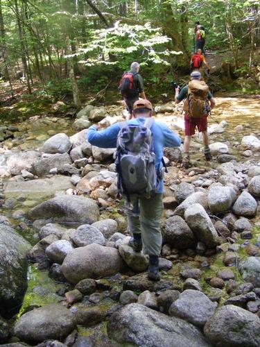
We were deep in the forest and it was an awesome feeling… not a sound of anything but the light breeze, birds and Chuck, lol. We assembled for a quick group photo at the trail head and off we went. I do a bit of research before jaunting into the wilderness and the guidebook clearly described an old logging road that opens up onto a meadow… but… no meadow was to be found… or perhaps my version of a meadow is just something akin to the state of Wyoming – flat and open as far as the eyes can see. Regardless… the trail was well blazed in yellow and took us deeper and deeper into the forest. We crossed a small stream and continued along the path and as promised, started to climb steeply, periodically moderating, but always up. The lower part of the trail and the early elevations was a forest characterized by deciduous trees, scruff, scrub, men and wild flowers with an open feel to it. The sun was high, the sky was blue, not a cloud to be seen, hiking in filtered sunlight thanks to the canopy.
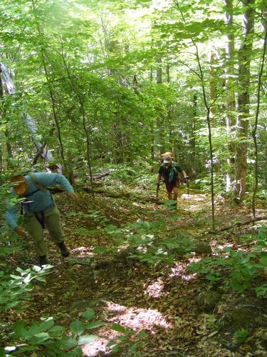
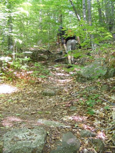
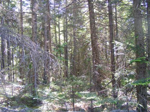
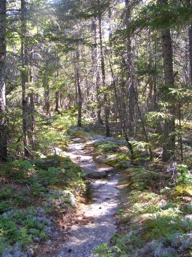
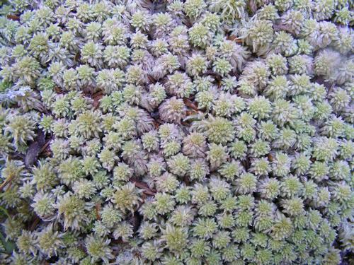
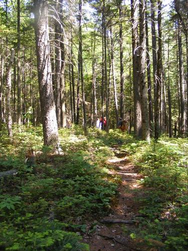
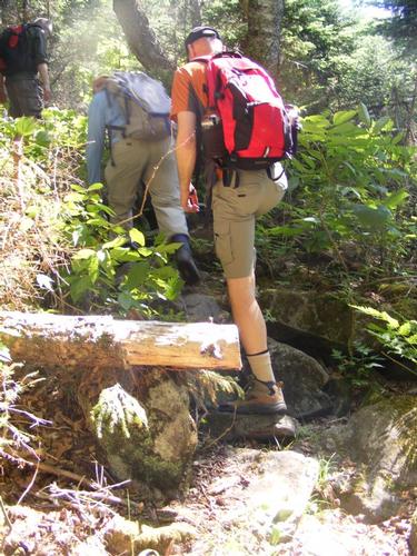
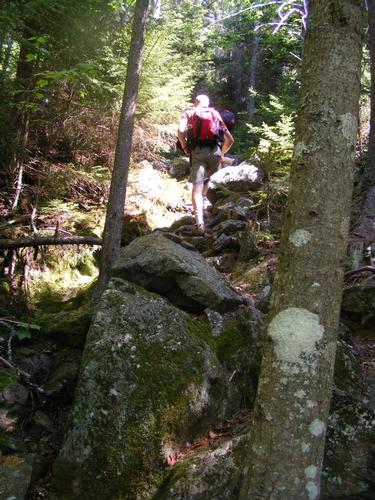
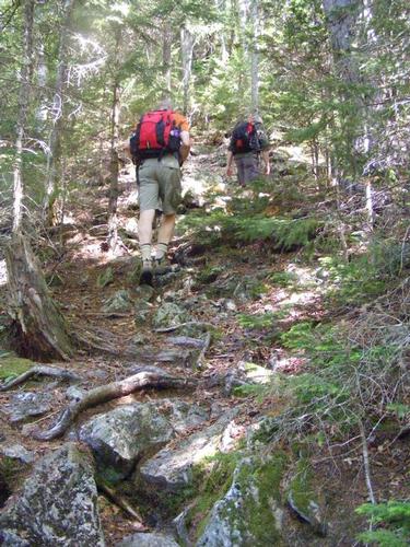
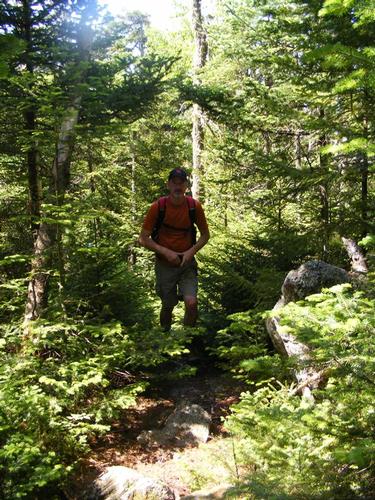
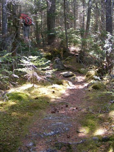
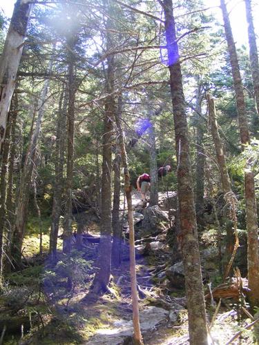
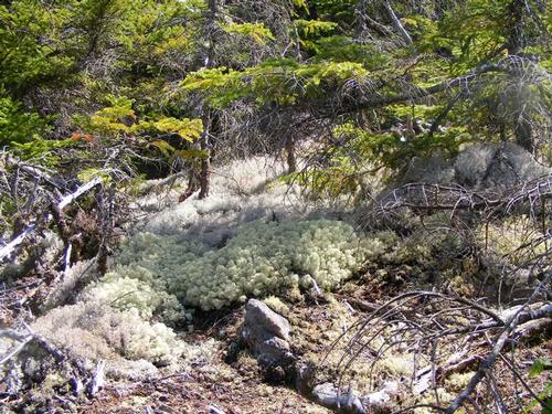
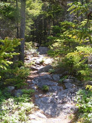
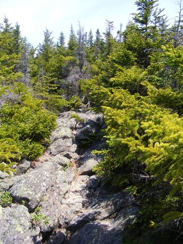
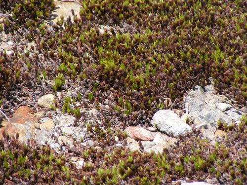
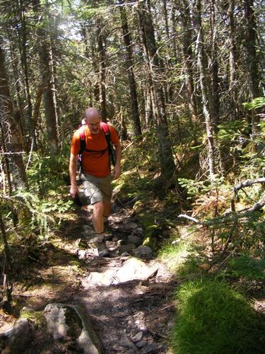
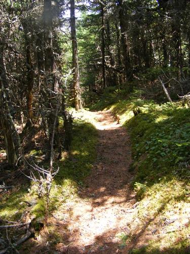
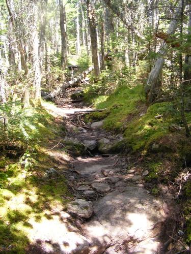
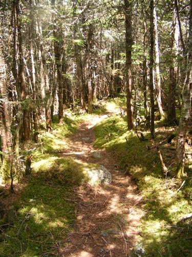
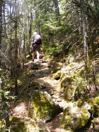
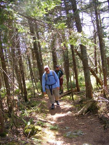
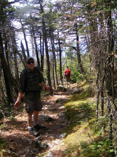
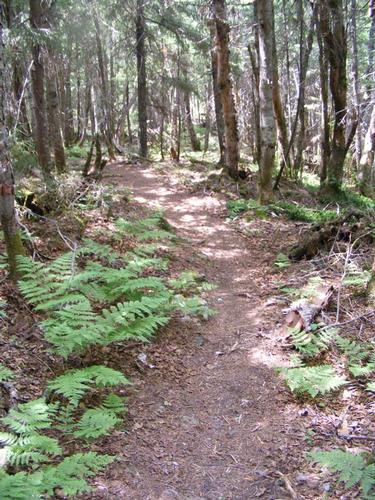
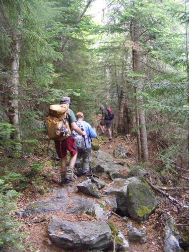
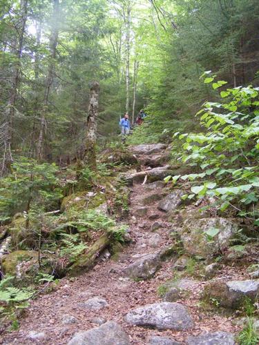
Soon we were really climbing… as promised…. the trail delivered an early rugged adventure… short and steep scrambles, always with four points of contact, always going up, sometimes rounding a bend only to tackle another 20, 30 or 40 feet up. Soon past this first part the trail leveled and we found ourselves casually hiking through a forest of mixed evergreens, lots of mosses and a path on solid stone, the mosses and ferns worn away from regular foot traffic. I was in awe… as always… these little stretches are favorites of mine – you just don’t get to see this at a mountains edge.
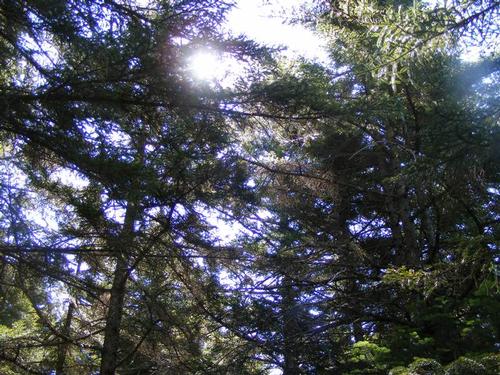
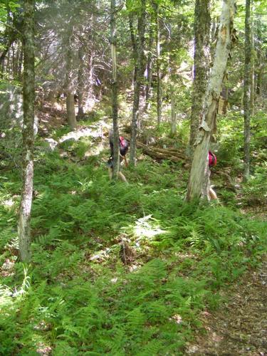
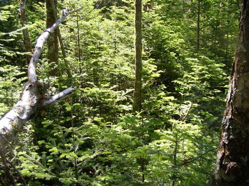
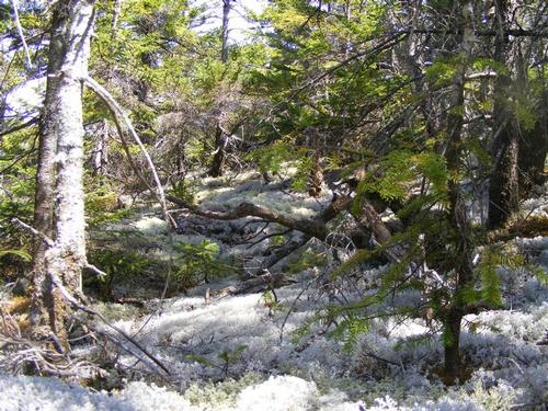
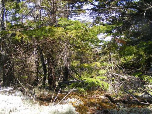
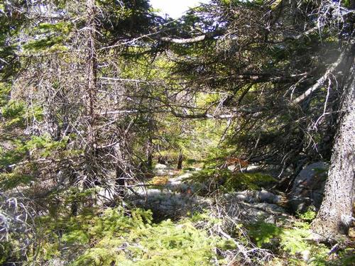
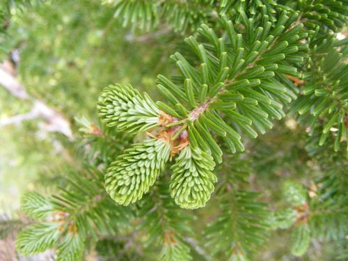
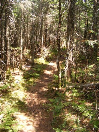
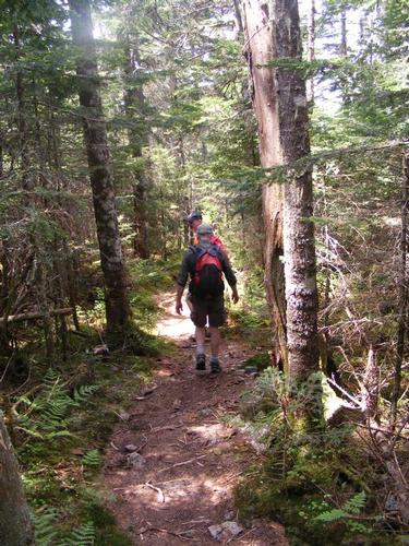
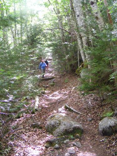
We carried on and again the forest shifted, we saw far more ground over, tons of ferns, back into a deciduous species mixed in with conifers. Soon enough we were back into that favored kind of climb, scaling small stretches of 20 to 40 feet, climbing, just plain having fun while experiencing the forest shift to a more dense foliage with the scent of pine soon filling the air.
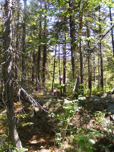
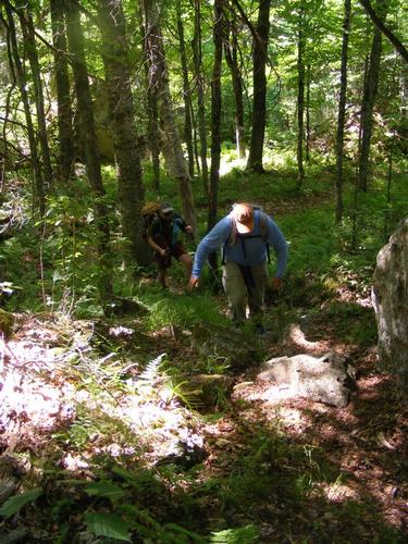
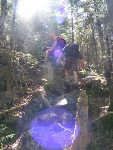
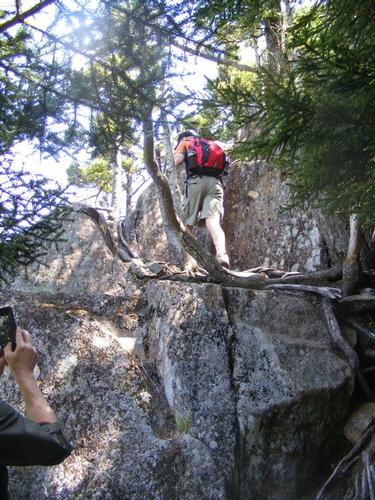
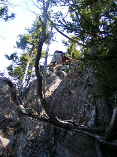
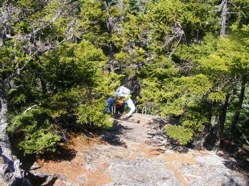
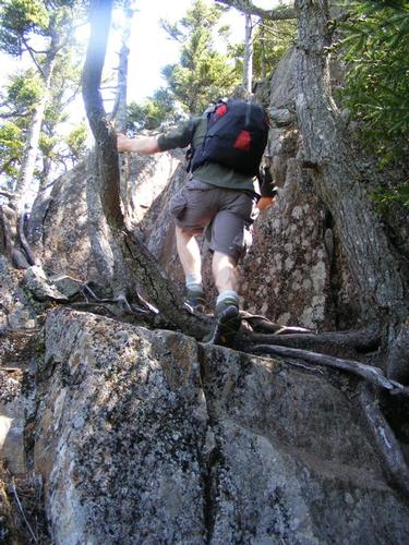
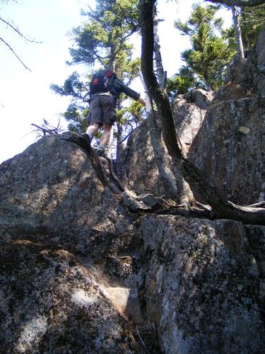
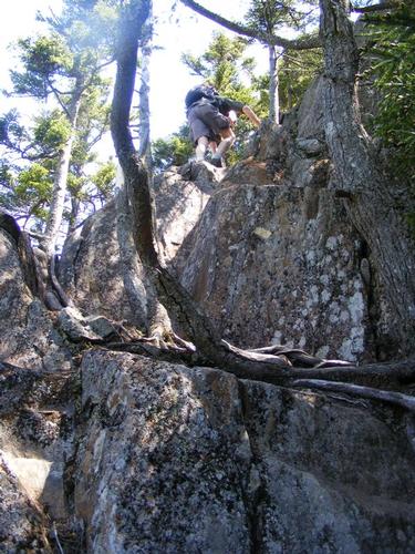
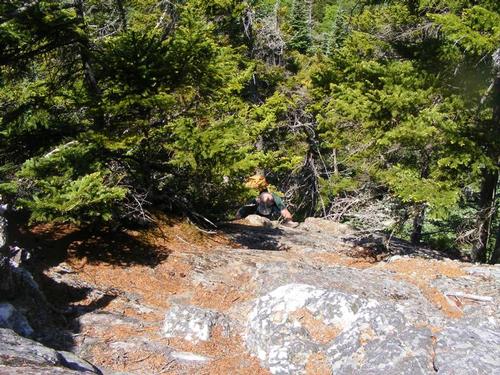
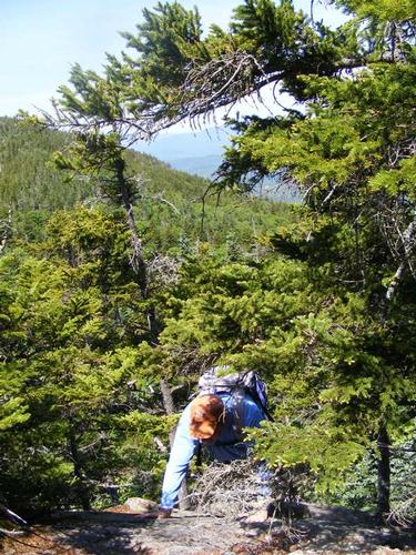
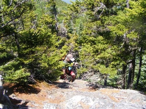
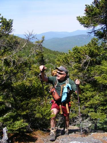
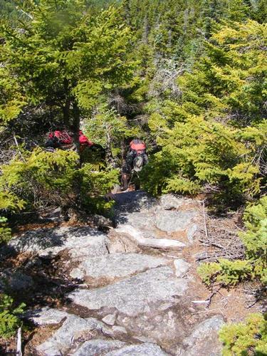
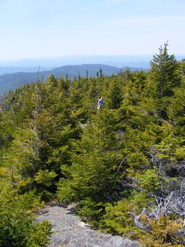
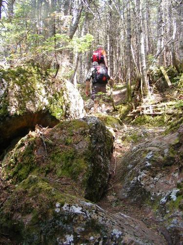
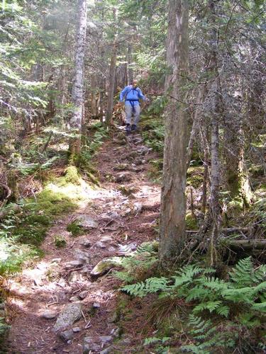
All along I was anticipating the “Scramble” – the one the guide books said was difficult. I had scoped out some photos pre-hike and it was hard to truly assess. George went up first, followed by Chuck, then came my turn. It was a bit deceiving and hard to see from the photos but once you’re left of the tree… eeeeeeeeeeeyep… it’s quite a drop and the only way to go up is to dig deep and scramble up. Not being one to linger on edges – and an edge it was - I didn’t hesitate. You’ll see I took photos of George and Chuck going up and I have photos of Eric and Rick scaling over the top. We all made it and agreed it was a good adrenaline rush. This was our first true viewpoint and we took a break – well deserved.
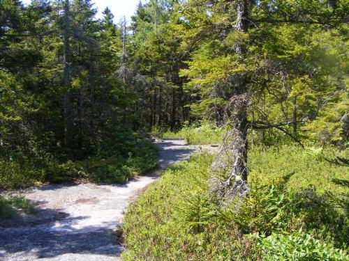
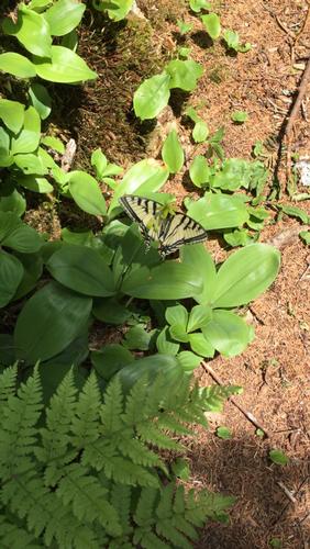
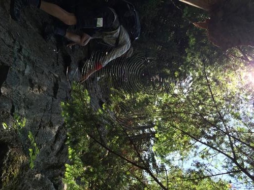
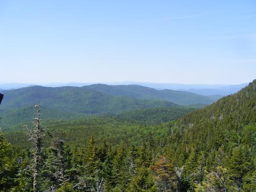
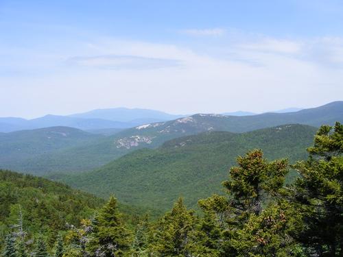
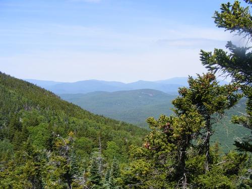
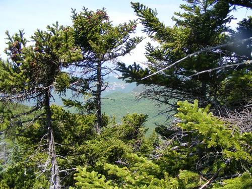
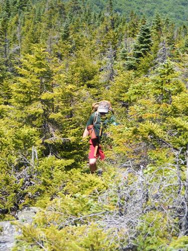
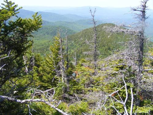
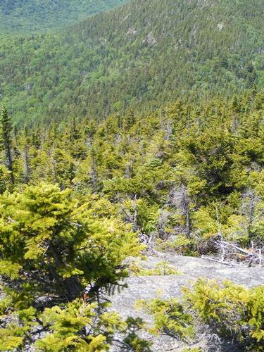
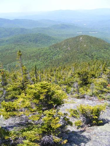
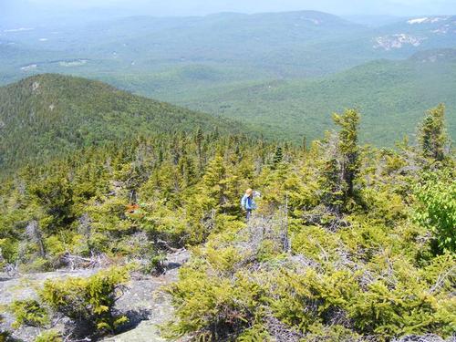
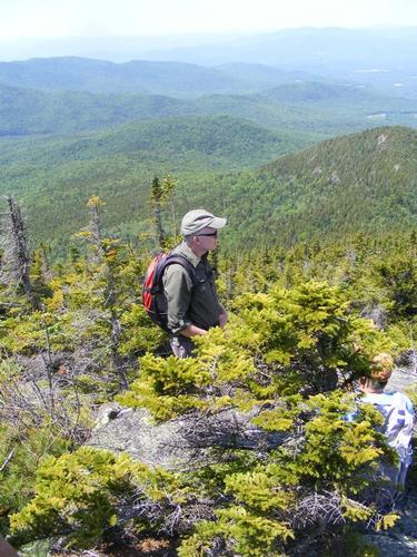
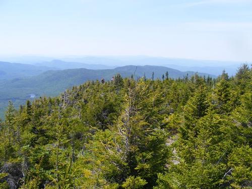
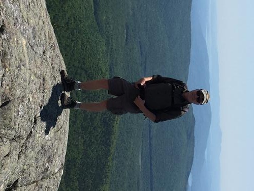
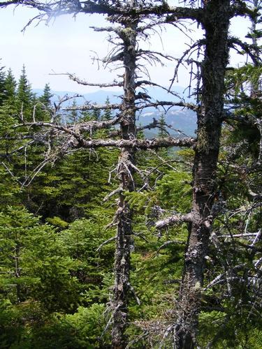
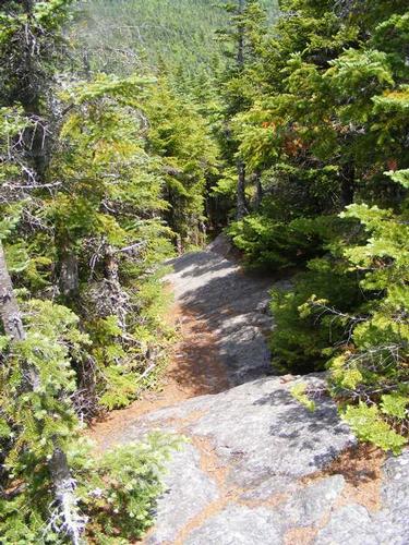
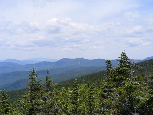
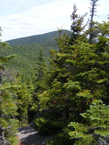
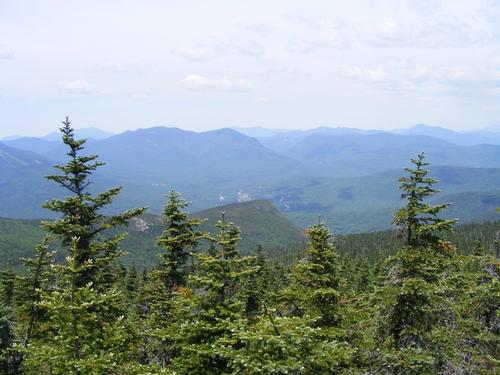
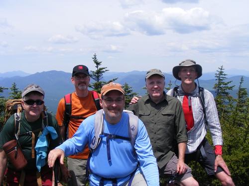
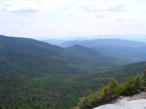
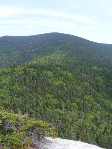
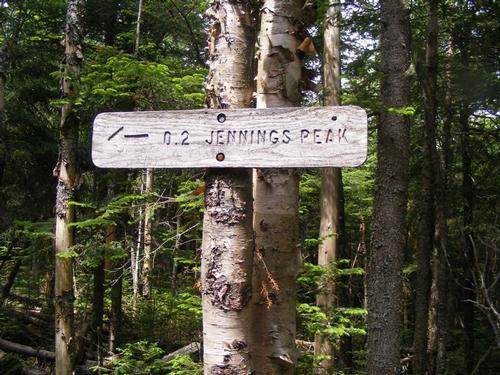
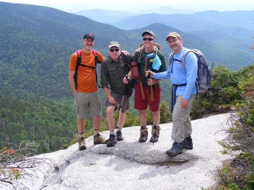
From this point forward the views were constant, the trail just stunning and we spent the remainder of the hike leading to Sandwich Dome dashing between small viewing plateaus, well worn stone paths, back into the tree line to enjoy moss covered trails and out again. A real treat along this stretch was the quantity of butterflies – they were frequent and really added to the landscape – very mystical. George took an awesome photo of a spider web – see if you can find it in the portfolio of photos. The guidebook describes this as the most underappreciated hike and I agree… a special gem… I’m sure some of the more experienced hikers of the whites will recognize the ledges of Welch-Dickey – having been atop those charming hills (wink wink) it was a beautiful sight to see from another perspective. We lunched somewhere along the path, roughly a mile to go before reaching the dome. We weren’t behind schedule any more than we were ahead and I wasn’t really keep track of time but sort of was…. I have to be Rob on some level, lol. Roughly around 2pm George, Chuck and Rob reached the trail junction for the summit and Sandwich Mountain Trail. George and Chuck carried up the short 1/10th of a mile to peak and I waited for Eric and Rick – they came puffing up at 2:15pm… we were, by and large, all hiking together. We shared the summit with two couples, one hippie like couple boiling up broccoli and cheese for lunch (smelled sooooooo good) and the other more advanced in life. Chuck chatted up the older gent while I had the pleasure of discovering his hiking partner was from Quebec – my people – and we casually bantered in French for a bit. The views couldn’t have been clearer and Mt. Washington was in full view – well worth the effort. We hung out for about a half hour and began our descent. We quickly arrived at Jennings Peak where I snapped a photo of the group. Jennings Peak overlooked a pristine wilderness… a real treat.
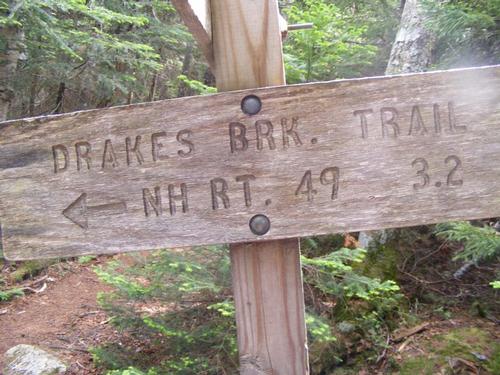
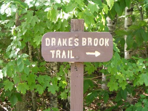
Now……. Chuck was feeling the urge to peel a layer or two off post hike and suggested we might better enjoy Drakes Brook Trail because it offered some swimming holes in proximity to the trail. It was indeed a very hot day but I was also on a time agenda and was focused on getting out sooner than 6pm, lol. We put the option to vote and it was agreed we’d detour (yes, Rob is good for that, another hike with another detour) down the Drakes Brook Trail and follow the path that promised a river and some swimming at day’s end. I couldn’t stay too late but Chuck promised he’d reconnect everyone with their cars and so off we went down Drakes Brook skipping the remainder of Sandwich Mountain Trail and Noon Peak. Both trails got us back to the parking lot and are often hiked as a loop. Rick was excited too, he is contemplating “adopting” this trail for annual maintenance… he got to preview conditions.
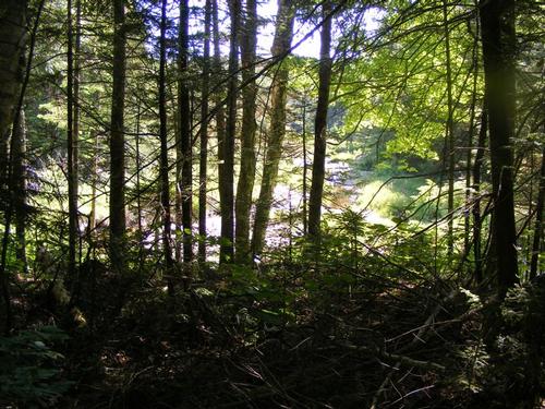
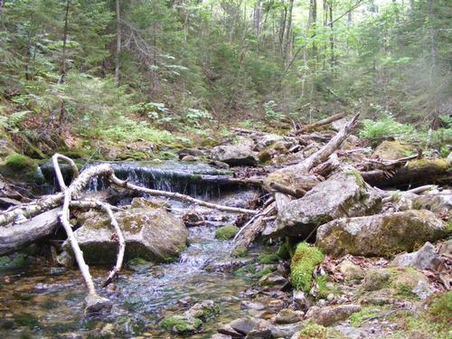
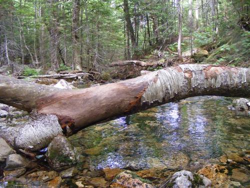
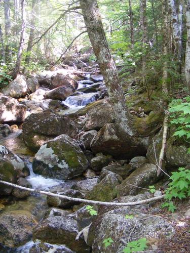
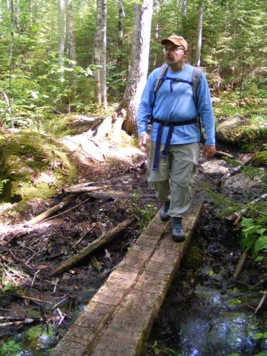
Drakes Brook is an old logging path, a moderate descent, a few switch backs but nothing dramatic. We soon came upon the river and enjoyed a cool breeze that seemed to sweep the mountain side. All the while we kept asking Chuck where the swimming holes are… he kept us in anticipation… just a bit further… “you’ll know” he said…. “when we have to cross the river”…. lol. Well… we crossed the river but the large pools weren’t really materializing… it’s been a bit dry lately and while the water was running… nothing seemed quite deep enough for more than your feet! All of us… we waited with baited breath… for Chuck to peel a layer or two and he never did… not even a button… he carried on…. He never stopped…. one foot forward… to the parking lot…. ahhhhhhhhhhh…. maybe next time….
We started hiking at 9:30am and finished around 4:15pm. We hiked 9 miles… climbed approximately 2,700’, peaked at an elevation of 3,980’ and had a brilliant time of it all. We shared a few laughs and exchanged hugs at trails end. I hit the highway and everyone piled into Chucks car for the short trip back to connect with their cars. I was home by 7:15pm and quickly showered, poured a glass of wine and enjoyed a salad of avocado and tomatoes with balsamic glaze. It was an adventure filled weekend and the time to c-h-i-l-l- was upon me. Thank you gentlemen for a brilliant day in wilds of Sandwich Wilderness. It wouldn’t have been as much fun without you and cheers to my co-leader Rav Eric Cohen – Todah Rabah.
Event photos (113)

Reactions
Log in to react to this trip report.
About this event
Summer is for adventures! Join me and friend Eric Cohen for a Sunday hike in the Sandwich Range Wilderness Region – June 19, 2016. This is a moderate to strenuous hike.
The agenda for the day will be to hike at a reasonable pace – take our time – and enjoy the camaraderie. Our hike will start at the trail head of the Algonquin Trail. The hike begins on the remnants of an old logging road and passes a small brook and meadow. We must keep our eyes open to a left turn and Yellow blazes. The trail begins to ascend steeply, moderates, passes through some ledges and a few brooks, and then ascends steeply again. The trail continues and ascends steeply – and - we must carry over several rock scrambles – these can make people nervous – the AMC guidebook describes them as steep but short. This is our first time on this trail so we can’t comment but if you don’t like rock scrambles, you may not like this section of the hike. The trail continues on steeply and begins to level off as we pass Black Mountain. Algonquin intersects with Black Mtn. Pond Trail and we turn left to carry on the Algonquin trail at a moderate ascent passing – and taking in - several view points. The trail descends slightly before we begin the final moderate climb to Sandwich Dome at 3,980’. Atop the dome we’ll get to look over Noon and Jennings Peak – a preview of the way down. Providing we have clear skies, the Tripyramids, Mt. Osceola and Mt. Tecumseh should be in full view. I’ve been doing lots of hiking in the whites and I’m beginning to recognize summits – I’ll have my maps so we can have some fun locating peaks. We’ll lunch on the dome and then begin to make our way towards Jennings Peak along the Sandwich Mountain Trail. The Trail – like the ascent – will have its steep moments but is far less strenuous than our way up. We arrive at a .2 mile spur - and 150 feet of climbing - that leads to the ledges of Jennings Peak at 3,440. This short Jaunt is optional but should not be missed. We then continue along a gradual ridge covered with mosses and continue our descent to tag Noon Peak at 2,976’. From there we continue our descent and emerge at the cars onto Route 49 – the head of Sandwich Mountain Trail. Total mileage for this day is 8.3 miles.
We will meet at 8:30am at the Sandwich Mountain Trail Head where we will leave behind a vehicle or two and journey to the head of the Algonquin Trail to begin the hike at 9am. At day’s end we’ll car pool everyone back to their cars. Anticipate a full day of hiking with an estimated finish time of 4pm to 5pm. We might finish earlier but I’m not racing this hike and I have promised a more gradual pace, one that allows us to soak in the day and the views and experience the challenges of a great hike. As always – early summer gear is best, two liters of water, lunch, snacks, sunscreen, bug spray and always be prepared for colder temps at the summit. Eric and I will keep watch of the forecast – a consistent prediction of rain will cancel or reschedule. A cool day with cloud cover – we will hike on!
Who came along (5)
 GUEST MEMBER
  GUEST MEMBER
  SUSTAINING
  SUSTAINING
Comments
Log in to join the conversation.