
Mt. Martha-Owlshead Traverse
A Fantastic Hike with Wonderful Views and a Fun Group of Guys!
The trip report
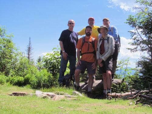
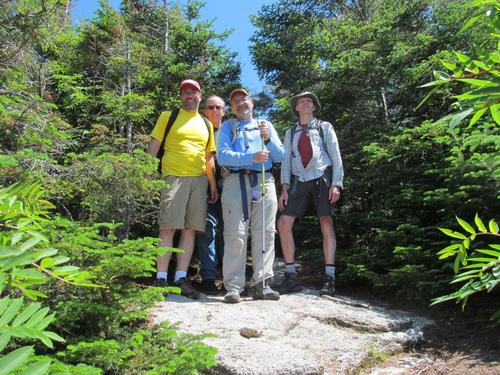
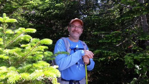
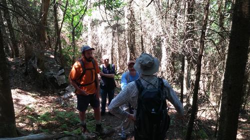
On Sunday, June 26th, five of us met up at the Owlshead Trailhead on Route 115 (Owls Head Highway) (Robert, Eric, Randy, Dennis and myself). We were all there and ready to go by a little after 9AM. We piled into one car and headed south to the Cherry Mountain Trailhead, also on Route 115.
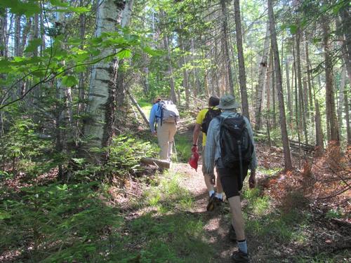
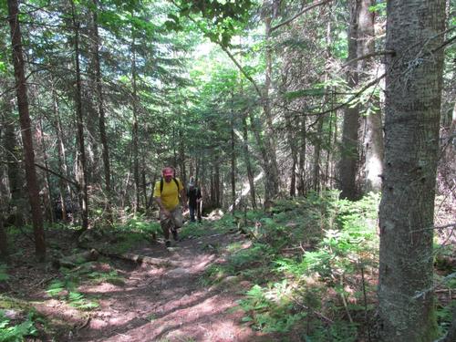
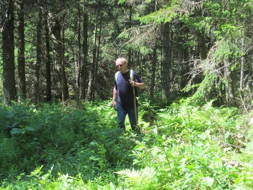
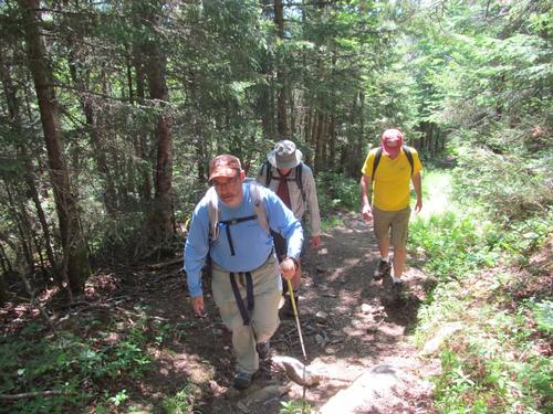
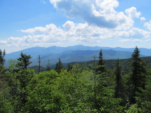
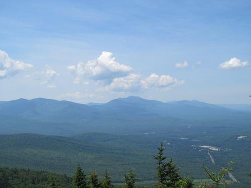
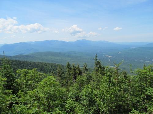
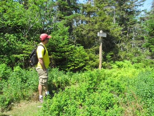
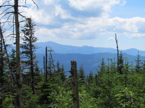
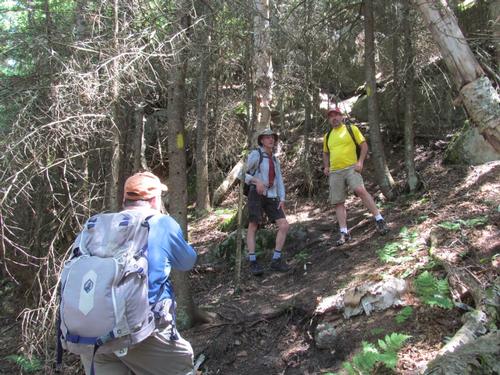
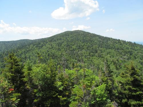
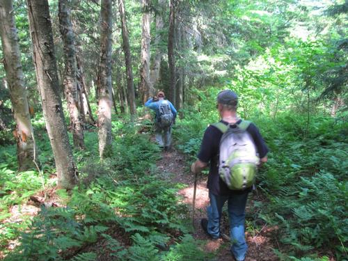
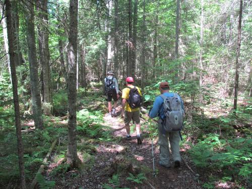
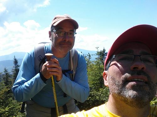
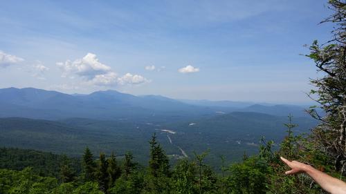
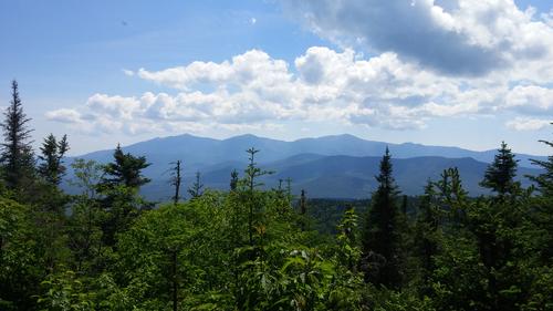
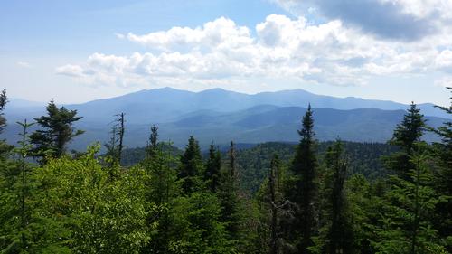
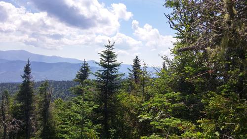
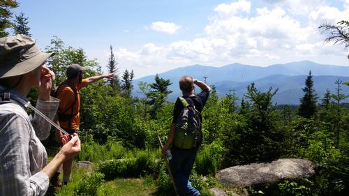
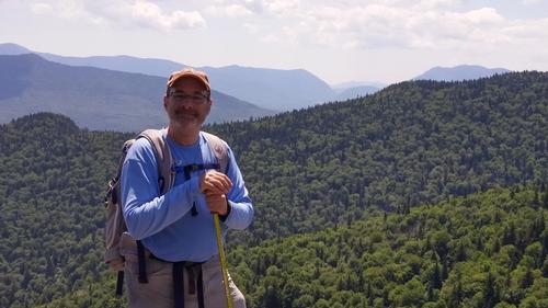
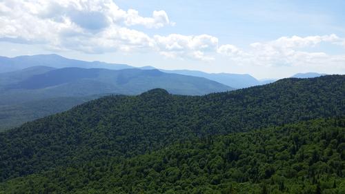
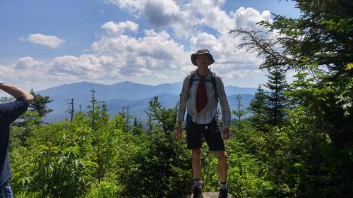
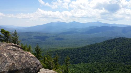
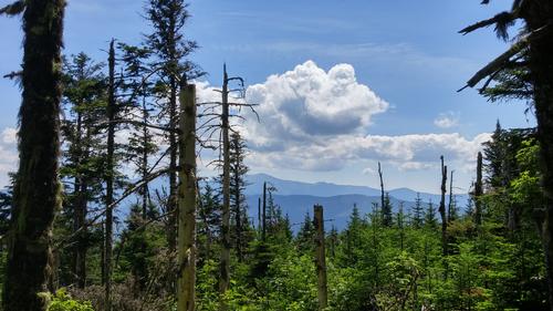
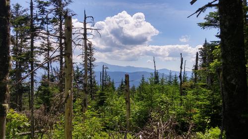
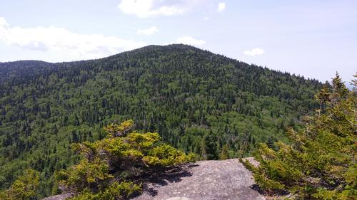
It was another beautiful day with mostly blue skies. We started up the Cherry Mountain Trail at 9:20AM. The trail started out modest in grade, but became steeper as we climbed. We took our time with a number of breaks along the way as the trail took a fairly straight path up towards the ridge. Eric and Robert eventually sped ahead and we all congregated again at the trail junction up on the ridgeline at 10:50. All together again we proceeded the short distance to the summit of Mt. Martha (3573'). The main opening in the woods provided a fantastic view of the Presidential Range to the east. Also on the summit was the foundation of an old fire tower and just beyond this foundation was another ledge with a view southwest towards the Franconia Ridge and the rest of the western end of the Pemigewasset Wilderness.
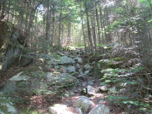
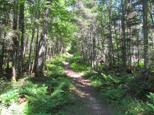
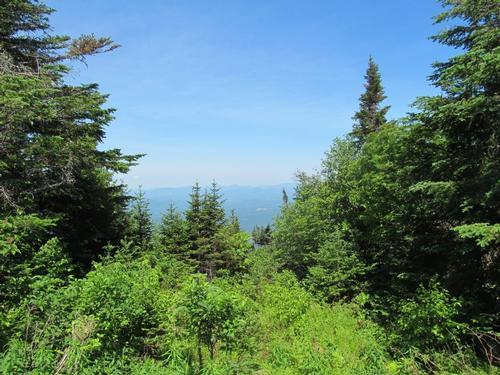
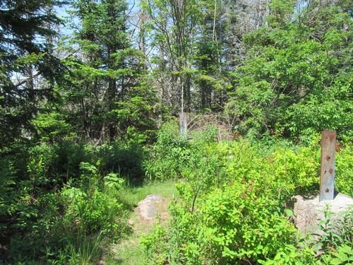
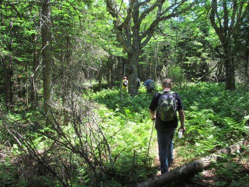
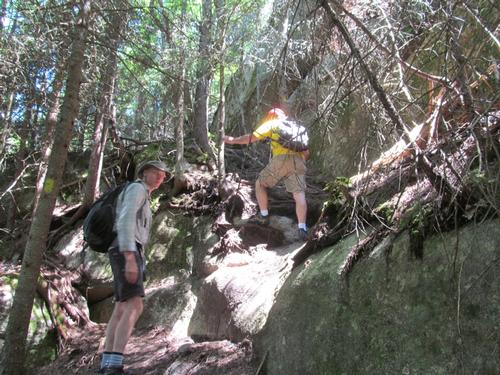
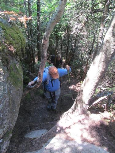
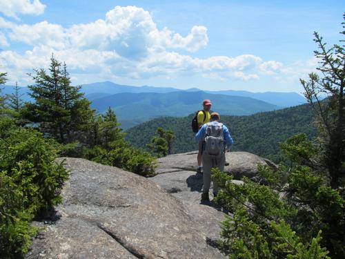
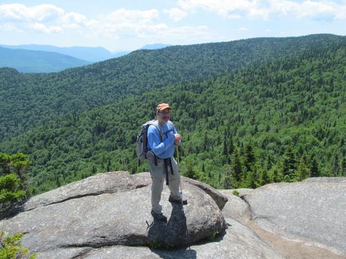
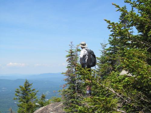
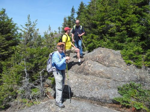
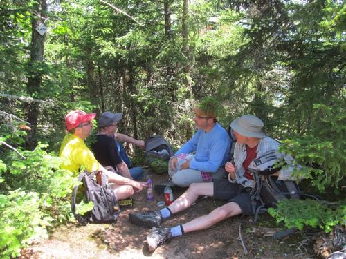
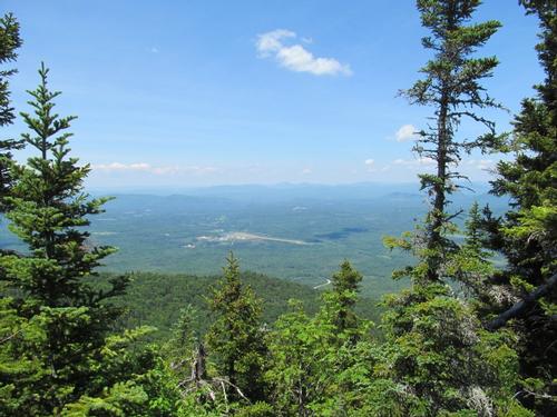
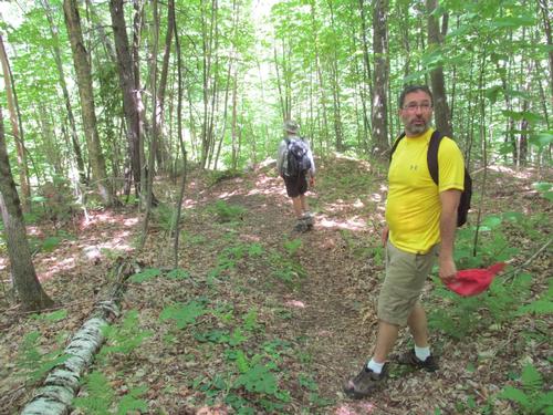
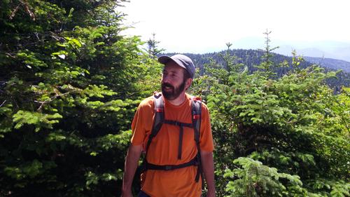
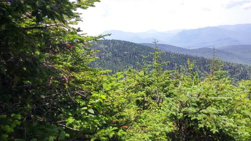
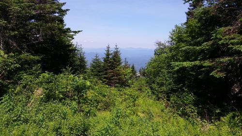
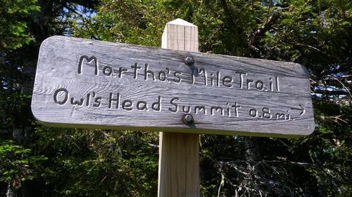
After about 20 minutes we continued on towards Owlshead using the Martha's Mile Trail. As this trail descended into the col between the peaks, there were openings with limited views again towards the Presidential Range. The trail was also lined with ferns though fairly open woods. On the opposite side of the col, the woods were a little darker with much more dense spruce. We reached the bottom of the granite ledges of Owlshead at 11:50AM and we just had the short scramble up to the first of several open ledges. This only took a few minutes and almost immediately we got a great view back over to Mt. Martha. As we rounded the corner there was another open ledge with an eastward view of the Presidential Range, as well as the Dartmouth Range which was in the foreground. As we climbed up to the summit of Owlshead (3258') there were also views to the west...the Mt Washington Regional Airport could be seen below as well as the peaks in Vermont (although these were a little more hazy). We relaxed in the shade while we had our lunches.
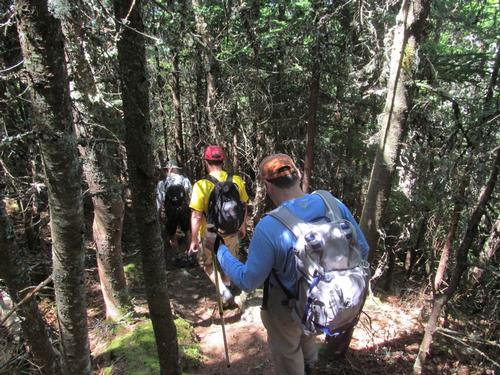
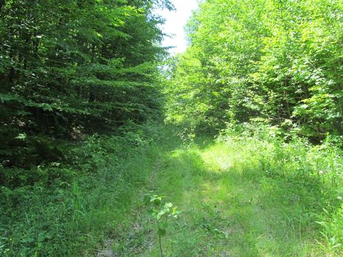
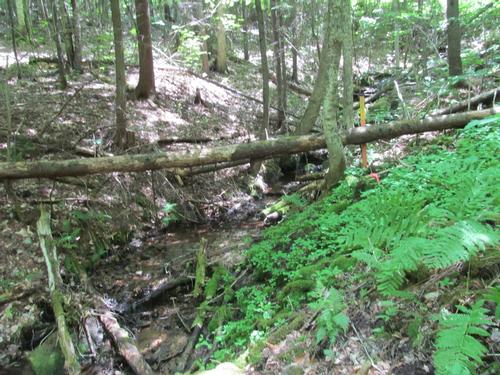
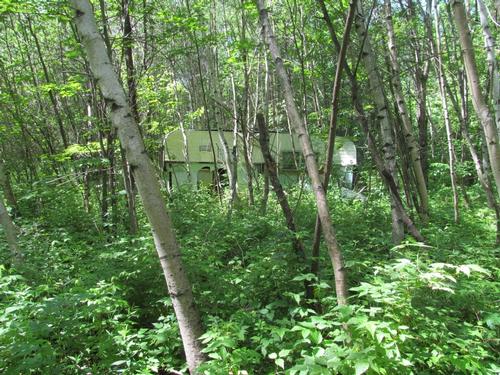
At 12:30PM we began our descent off of the summit. This was initially somewhat steep, but lessened in grade as we continued on. At 1:30 we crossed the grassed over John Walker Road and then after a sharp turn in the trail we crossed a small brook. The rest of the hike was fairly easy with a few muddy areas in the trail after passing an abandoned trailer in the woods. We re-emerged from the woods at the Owlshead Trailhead parking area again at about 2:10PM. We packed up and drove back to the Cherry Mountain Trailhead to pick up the other car.
Afterwards, we headed to Bretton Woods to enjoy a drink together at Fabyan's Restaurant. While there we were lucky enough to see a small bear up the bank from the railroad tracks, which run behind the old station, which is now the restaurant.
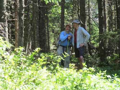
What a great day with a fun group of guys! Fantastic views for a modest hike! Thanks to Robert, Eric, Randy and Dennis for coming out and joining me on this Sunday hike!
Event photos (53)
Reactions
Log in to react to this trip report.
About this event
Join me for this 5.25 mile traverse up to Mt. Martha (3573') and then to Owlshead (3258')...the other one! Mt. Martha, also known as Cherry Mountain, is named after George's wife. Mt. Martha is well known in the White Mountains for having one of the best views of Mt. Washington and the Presidentials and should be spectacular this time of year (weather permitting). The peak also has a great view off to the northwest into Vermont and to the southwest toward the Pemigwasset Wilderness. Owlshead also provides wonderful views of the surrounding mountains and was the site of a historic slide, which took out the Stanley Farm in 1885. This trip will require spotting cars. We'll use the Cherry Mountain Trail, Martha's Mile and Owlshead Trail.
Total Distance and Elevation Gain: 5.25 miles with approximately 2000 feet in cumulative elevation gain.
Total Time: 5-6 hours depending on breaks and group's speed.
Rain or harsh weather may postpone to another date or cancel, as appropriate.
What to Bring: Typical spring hiking gear should be appropriate: convertible hiking pants, good sturdy hiking boots with thick socks, a windbreaker/raingear and extra layers (e.g. fleece). Also bring along lunch, snacks and plenty of water (at least 2-L). Optionally, pack sunscreen and anything else that you may require for a day hike.
Carpooling: Contact other participants or the trip leader to arrange for a rideshare to the trailhead.
Camping Option: Contact me, if you're interested in camping Saturday night. I would be happy to coordinate a campsite or provide details to share my site.
Afterwards: If there is sufficient interest, we will have drinks and/or dinner in the area.
Who came along (5)
 GUEST MEMBER
  GUEST MEMBER
  GUEST MEMBER
  SUSTAINING
Comments
Log in to join the conversation.