
Get High Hike #2: Mt.Adams
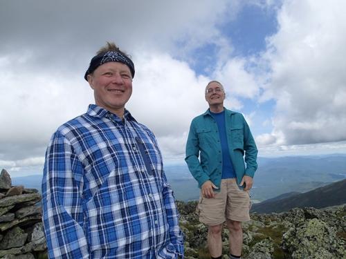
Great day to be above treeline! We all did fine on this hike. This hike was The Bomb, we felt like true explorers and had huge smiles at the end.
The trip report
Trail Length: ~9.4 miles
Total Ascent: ~4700 feet
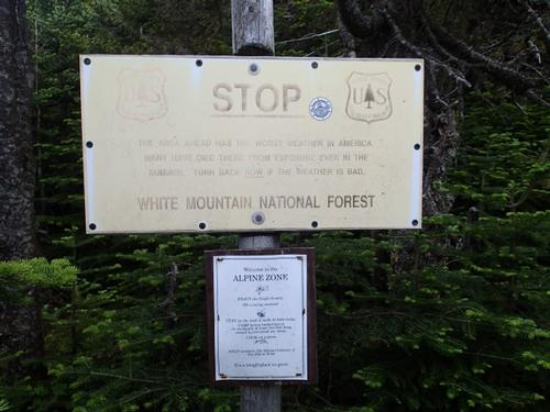
The Presidential Range of New Hampshire’s White Mountains boasts "the worlds worst weather". The highest land wind speed ever recorded occurred in 1934 on the summit of Mt. Washington and was 231 MPH. While no recording devices exist on Mt. Adams, one can assume, due to its close proximity and relative height, conditions are only slightly "less severe" on its summit.
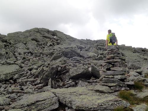
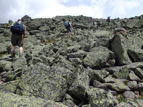
Mt. Adams is in the northern Presidential's and is between Mt. Jefferson and Mt. Madison. Most trail guides suggest that this mountain only be attempted in decent weather conditions for two reasons. One, the views are considered by many to be the finest in the White Mountains and not to be missed; and two, by any approach, there is solidly 1 to 1.5 miles above treeline and completely exposed to the elements. Additionally, the rocks are jumbled and footing is, to say the very least, rough.
The forecast on the morning of our hike called for increasing clouds, winds aloft at 20 MPH, and summit temperatures in the low 50's. It turned out to be a great day to be above treeline! The sun was in and out of the clouds, but overall visibility was great
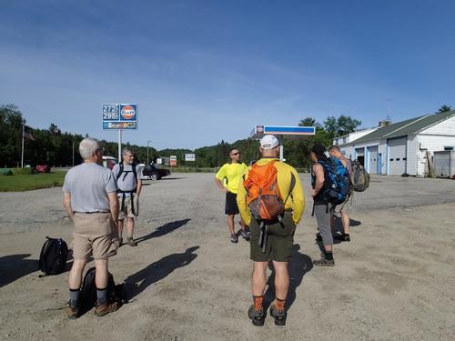
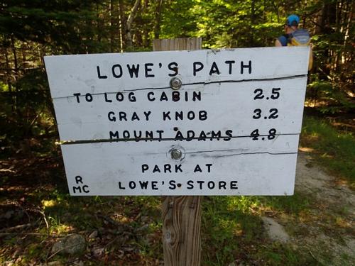
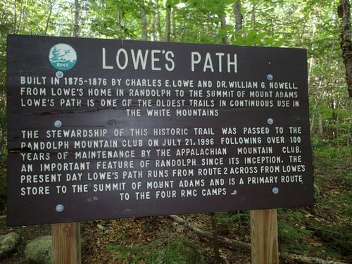
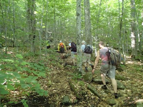
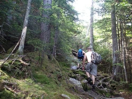
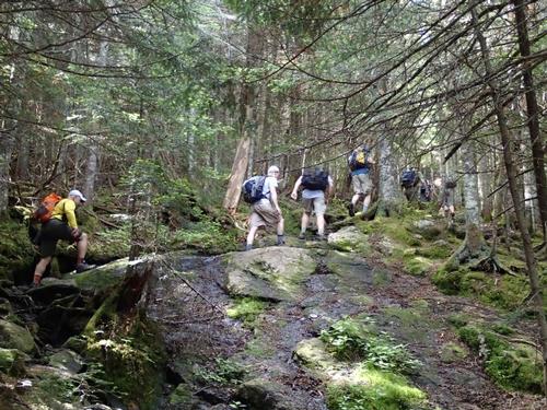
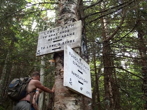
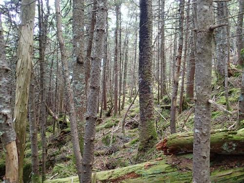
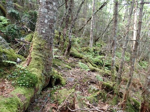
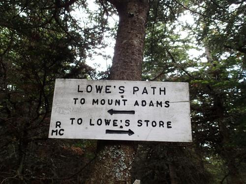
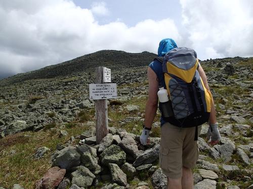
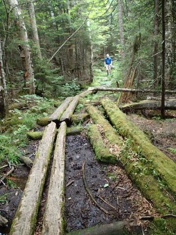
At about 8:00 AM, we parked at Lowe's Store ($1.00 fee) on Route 2, met everyone who signed up for the hike and walked about 100 yds up the road to the Lowe's Path trailhead. The trail starts out gentle enough and soon passes a RR bed and several power lines. It was very muddy beneath the power lines! The trail at this point climbs moderately but steady for the first few miles. At we approached the Log Cabin the trail steepened noticeably.
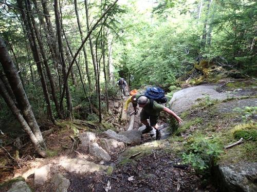
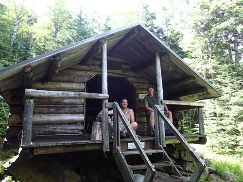
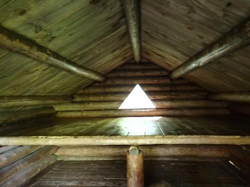
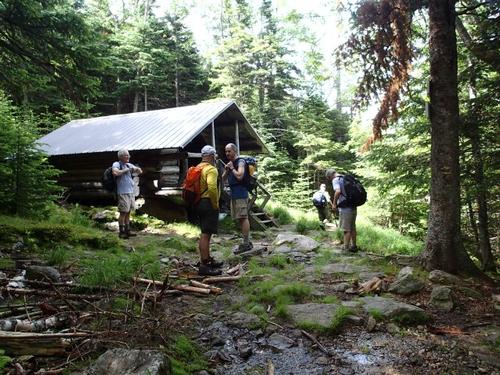
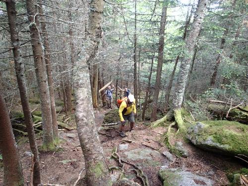
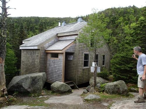
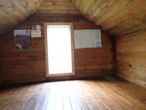
At 2.4 miles we reached the Log Cabin, a nice log cabin structure that is similar to a lean-to, but more enclosed. Beyond the Log Cabin, we negotiated the toughest stretch of the day. At about 4400', we reached “The Quay”, an open ledgy area that provided good views west.
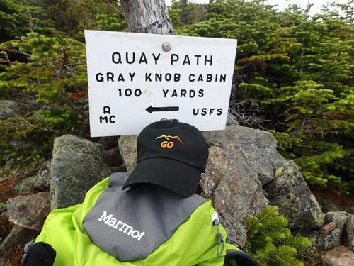
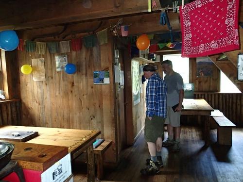
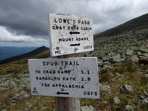
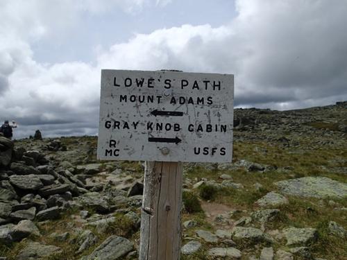
We checked out the two-story Gray Knob Cabin that is favored by winter hikers for its wood stove. We got more water from jugs near the sink. There was nobody in the cabin and it was decorated with party balloons. I guess they celebrated marriage equality in the USA last night!
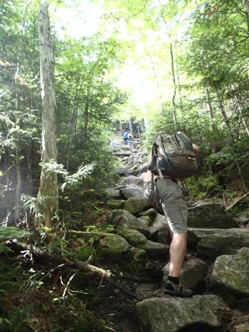
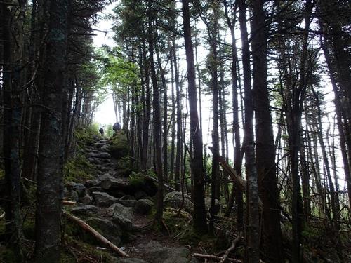
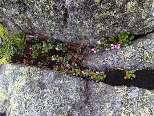
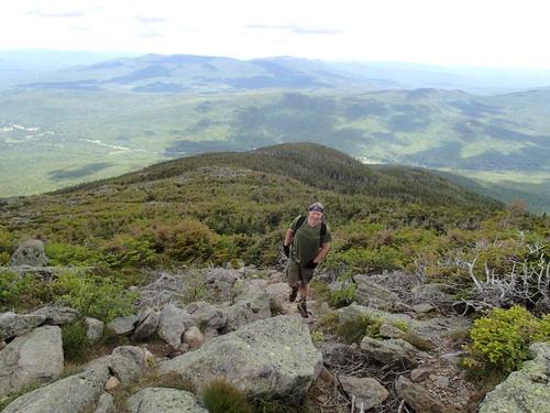
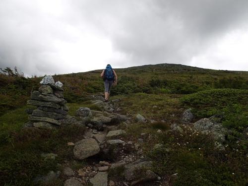
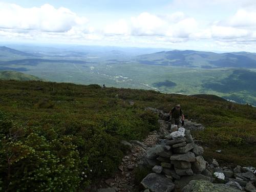
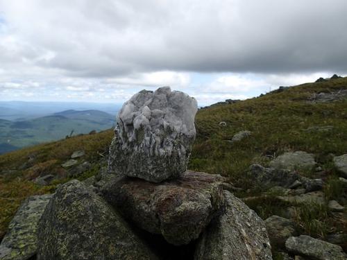
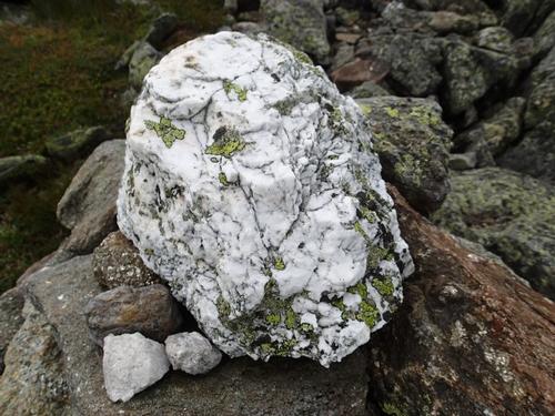
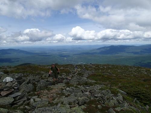
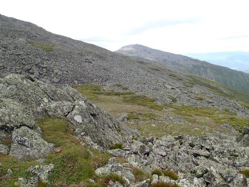
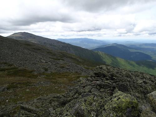
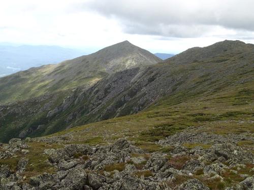
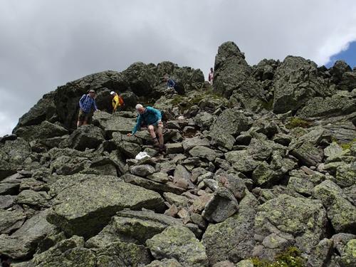
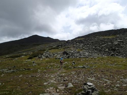
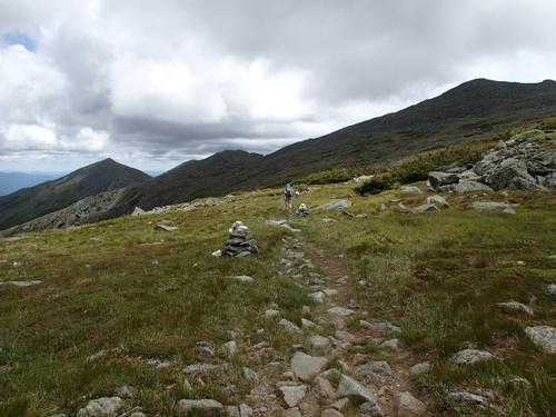
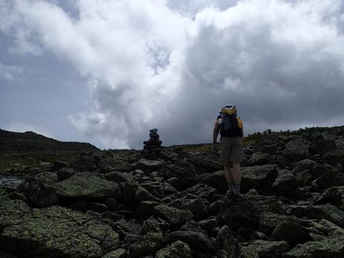
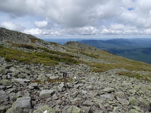
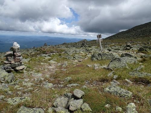
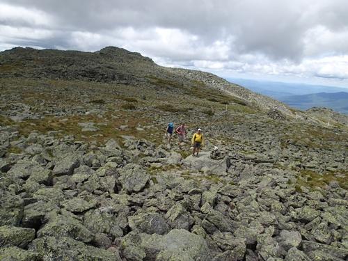
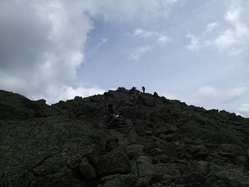
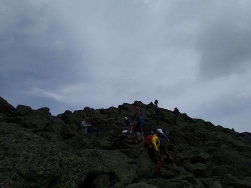
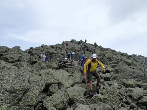
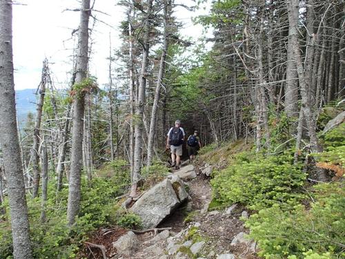
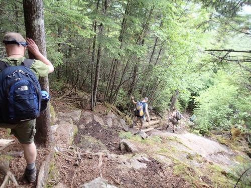
We returned to the Quay and resumed our climb up Lowe’s Path. We had 1.6 miles to the summit of Mt. Adams. We then reached the krumholtz zone and only the stunted, twisted trees of this zone remain. The trail moderates a bit and we entered the barren "alpine zone" soon after. From here on out, it is nothing but rocks, and tons of them at that. It was never truly steep, but extremely rocky and rough, with constant views!
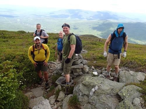
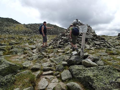
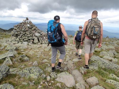
At about 4.1 miles we passed by the minor summit of Adams 4 (5355'). We headed up gently to a place called Thunderstorm Junction in the saddle between Adams proper and another minor summit to the SW. There is a large cairn there. We were felt fine. Luckily, there was no rain, which would have made this ascent, downright dangerous. We chose to ascend the final .3 miles and 309 feet to the summit.
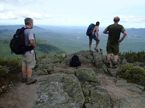
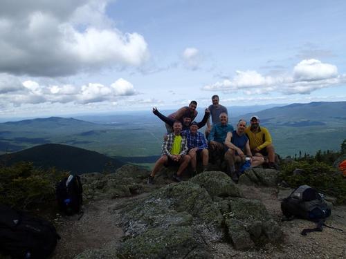
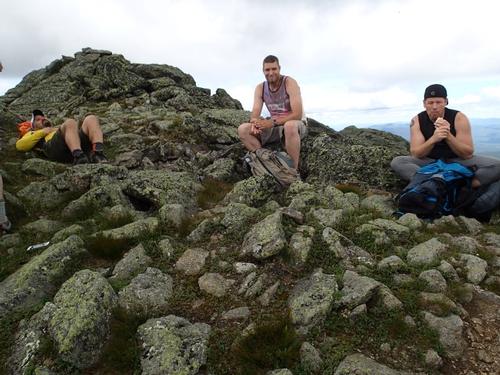
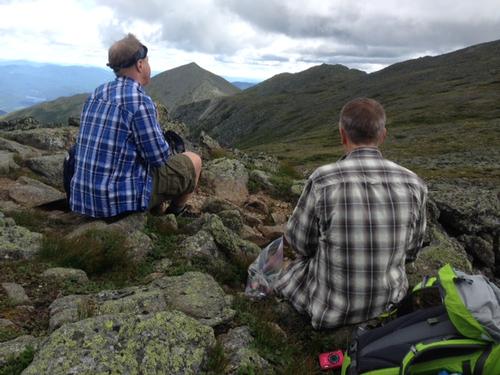
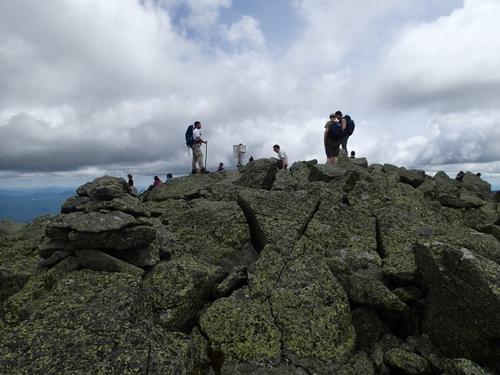
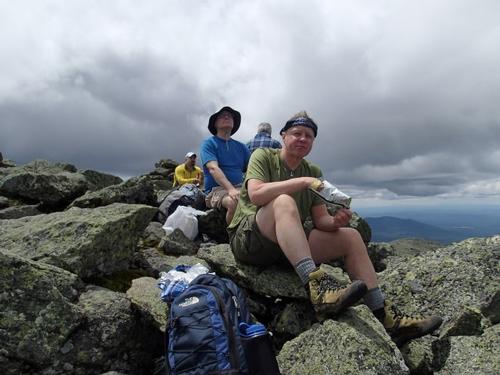
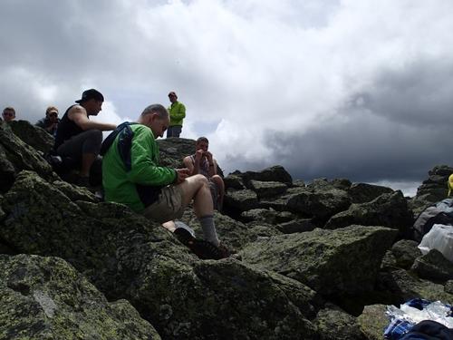
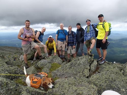
There was hardly any wind that is quite amazing for this high peak! We reached the summit at 5799' and there were about 20 hikers at the summit having lunch and enjoying views. Even a beagle made it to the top!
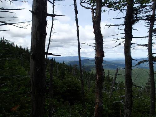
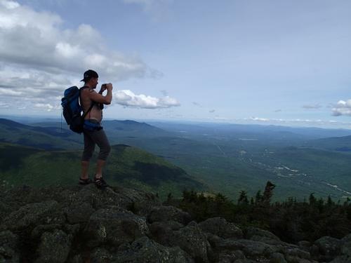
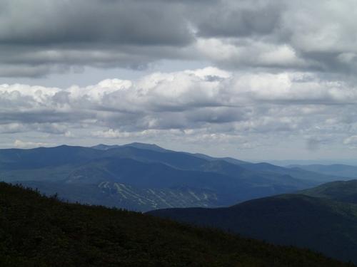
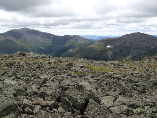
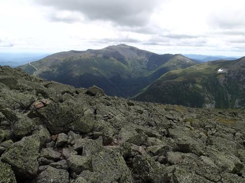
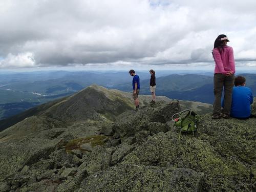
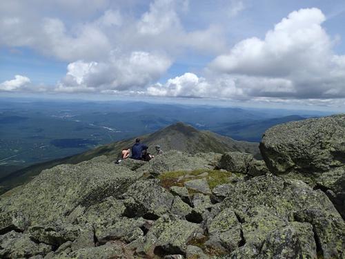
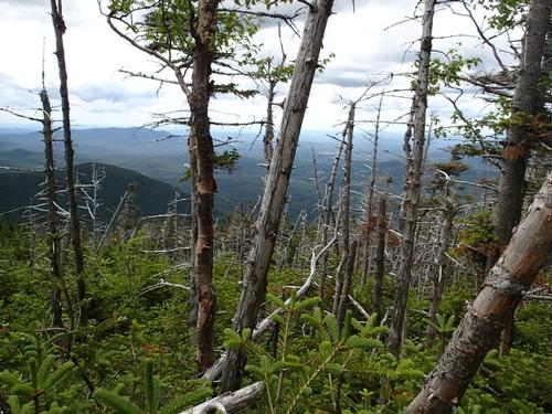
Since it is the second highest mountain in the Northeast, and is placed in the middle of the most extensive alpine landscape in the eastern United States, bear with us as we exclaim that the views from Mount Adams are among the best! The rocky cone of Mount Madison is less than a mile to the northeast, and Mounts Jefferson and Washington line up to the south. At our feet, the mountain slopes plunged into the void of Great Gulf. We even saw Camel's Hump and Mt. Mansfield in Vermont!
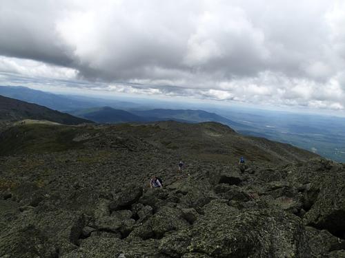
After lunch we descended off the cone. It was slow going above treeline with all the rocks but we made good progress. While the summit itself was busy, the trail itself was eerily quiet throughout the day.
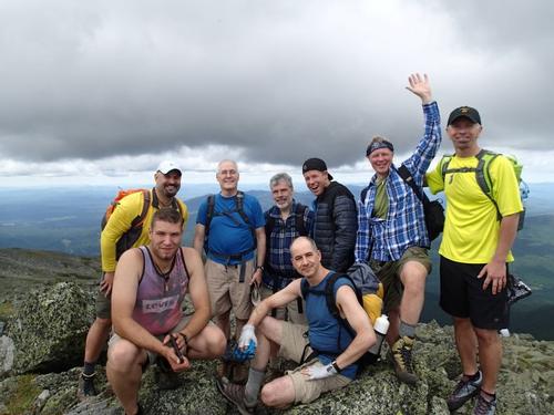
We all did fine on this hike. This hike was “The Bomb”, we felt like true explorers and had huge smiles at the end.
Event photos (92)
Reactions
Log in to react to this trip report.
About this event
Mt. Adams, [5,799'] is the second highest moutain in Northeast but there is also nothing else second-rate about this ruggedly spectacular mountain! Some say that it's the most interesting of all 4,000 footers. We will ascend up the Lowe's Path with a stop at Gray Knob Cabin.
This straightforward climb is generally considered the "easiest" route to Adams, with a steep middle section but otherwise mostly moderate grades on the long climb up Nowell Ridge. The upper 1.5 miles is above treeline with wide views and full exposure to the Northwest winds. After the giant cairn at Thurnderstorm Junction, there will be the final moderate climb up the rock-strewn summit cone to the top of Mt. Adams.
This is up and back hike on the same trail. This is considered a very strenuous !!! Proper gear is must.
It's 9.4 miles round trip with 4,450 feet of elevation gain. Plan on a finish of 5 pm.
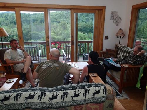
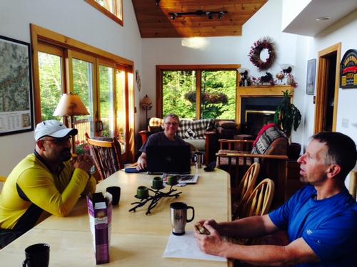
After The Hike: Everyone is welcome back at our house in Waterville Valley to socialize around the deck and enjoy a home cooked meal with dessert! It's BYOB and it costs $5 per person.
Lodging Option: Bunk beds are available at our house near Waterville Valley, NH for Friday and/or Saturday night at $20 per night. Coffee/bagels each morning and linen/blankets/towels are provided. We have limited space in the fridge to store your beverages/food so it's best to bring a small cooler. Space is limited so email ASAP to reserve a bunk!



Comments
No comments yet.
Log in to join the conversation.