
Percy Peaks Loop Hike
An Awesome Day with Jim, Climbing North and South Percy Peaks!
The trip report
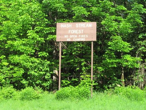
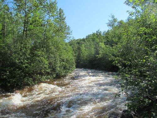
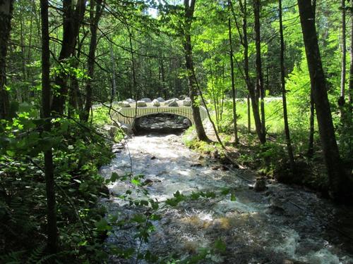
Jim and I met up at the Slide Brook Trailhead at about 9:30AM. The morning was already warm and mostly sunny. Due to the rain the night before the Nash Stream/Upper Ammonoosuc River was raging. The parking lot was a small roadside lot with space for 5-6 cars just south of the Slide Brook Bridge, but this wasn't a problem since we were the only ones there. We got ready and set off. The trail veers into the woods just to the north of the bridge.
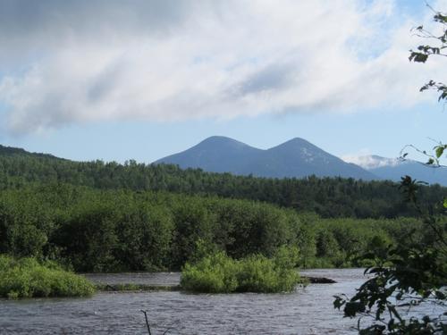
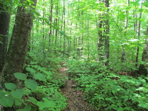
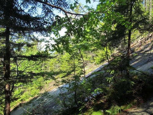
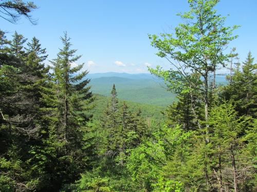
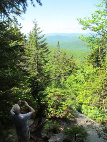
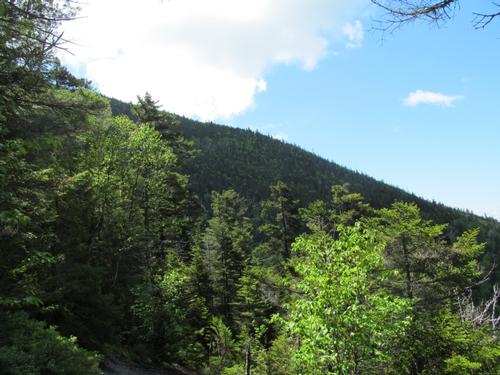
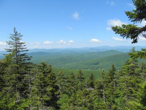
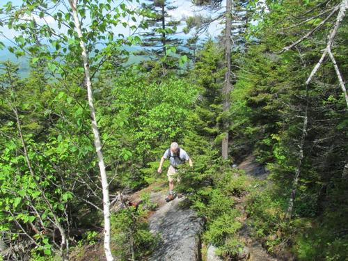
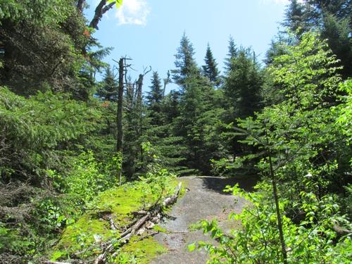
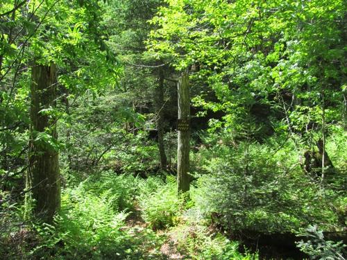
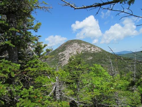
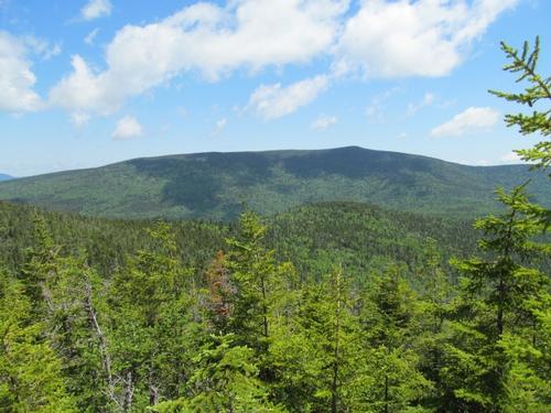
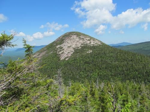
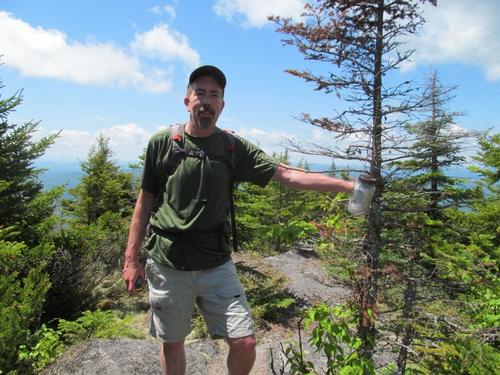
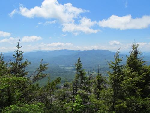
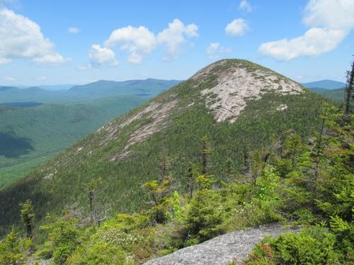
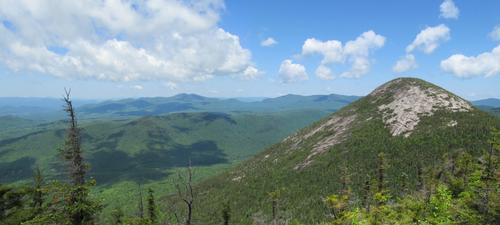
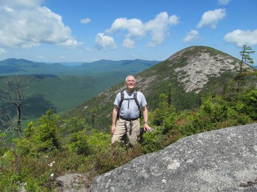
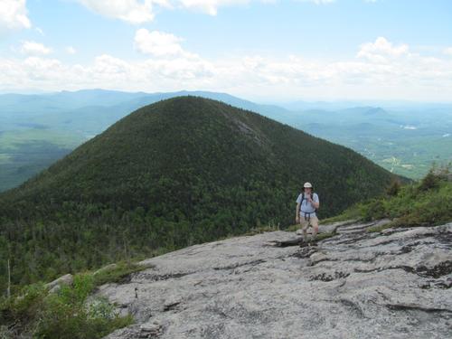
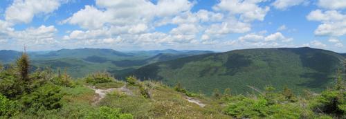
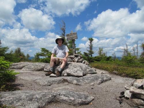
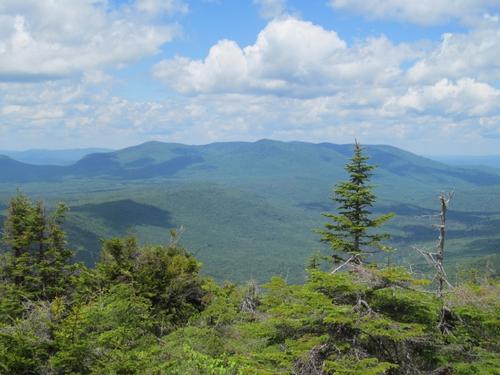
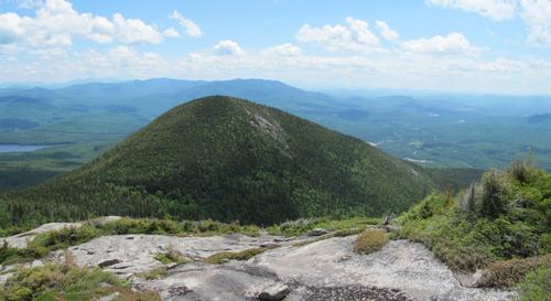
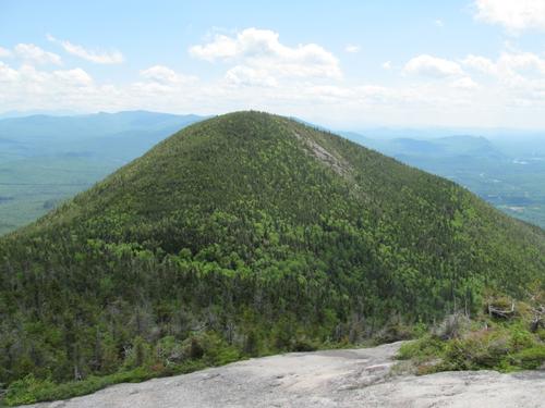
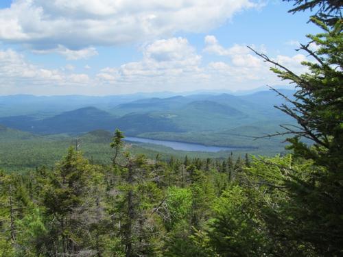
For the first hour or so, the trail meandered through the woods with only modest elevation gain. After this the trail steepened a bit and by 10:30AM we had reached the bottom of a slide. The trail paralleled this in the woods. This was a good thing, since the open rock was wet and moss-covered. Another 15 minutes later and we were getting our first views out to the west. There was a point after this that the trail had been re-routed. There were two sets of blazes and we quickly figured out that we had taken the wrong "current" trail. This was easily corrected and we continued to climb, while occasionally getting better westward views. By 11:25, we had reached the col between the peaks and it wasn't long after that that we ran into the trail junction for the Cohos Trail (marked as the Old Summer Club Trail). Following the Cohos Trail south for about 0.1 of a mile we reached the signed junction for the South Peak. This trail is not blazed or as regularly maintained, but it was easy to follow. The trail was not particularly steep, except for a couple of spots where it climbed up some rocky areas. The woods finally began to open up by about 11:45 and we were first treated with views of Long Mountain and then views of the spectacular, mostly bare North Percy Peak. It was very impressive! Continuing on, we reached the summit (3224') at just before noon. The summit, while sparcely treed, provided views in all directions from various vantage points. There was a jar tied to a tree to mark the summit. In addition to grand views into the Nash Stream Wilderness, there were also views south to the Pilot Range (Cabot and the Horn) and the Presidential Range. Mount Washington was still in the clouds at this time, but the other peaks could be easily identified. We took a break here for abit...having half of our lunch.
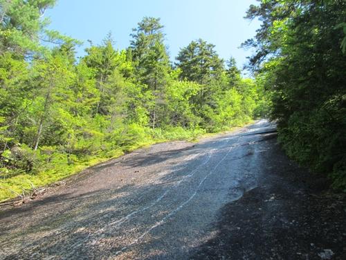
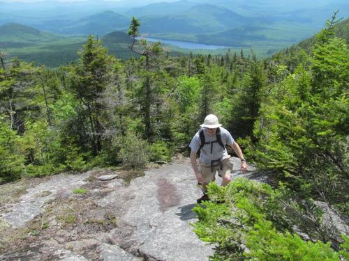
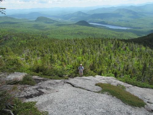
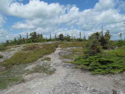
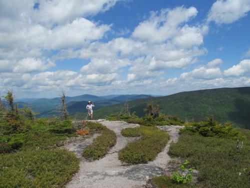
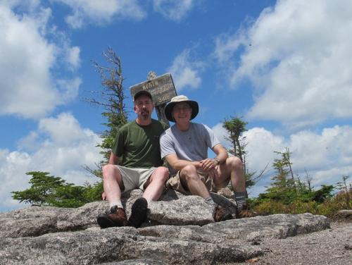
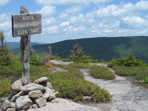
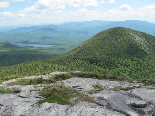
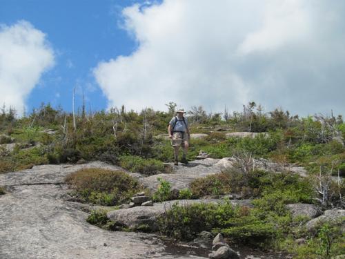
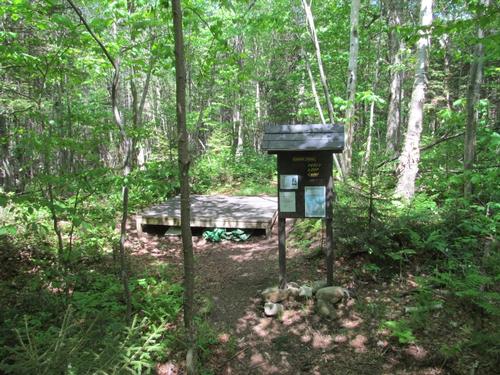
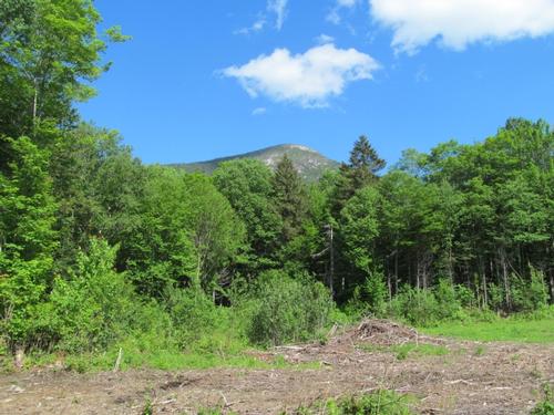
After the break, we headed back down and re-joined the Cohos Trail by 12:35PM. It only took a couple of minutes to reach the second trail junction for the Percy Loop and the North Percy Peak Trail. In only 10 minutes we were already emerging from the woods again with views back towards the South Peak and down toward Christine Lake. The trail up the peak began to open up to bare granite with a fairly steep grade. This was easy enough to climb. We reached the mostly open summit (3430') by 1:10PM. The views were fantastic in all directions! There were grand views to the north towards Sugarloaf Mountain and across the Nash Stream Wilderness up to Dixville Notch, where we could see a wind farm. To the south Mt. Washington had emerged from the clouds. We relaxed for another break...lunch #2. We were here for quite awhile when a family of 3 came up. They were from the area and were doing some trail maintenence on the Percy Loop. We chatted for awhile before heading back down at 1:45PM. On the way down, we passed a young couple. We reached the junction with the Percy Loop and took that trail down. This was a fairly easy trail to navigate, although the trail was muddier in spots. By 2:30 we reached the Percy Loop Camp. We took another break here and then continued on our way down this trail as it encircled the peak to the north. We finally reached the Nash Stream Road again at 3:30. From here it was a short walk back along the road back to our cars. Along the way there was an old logging yard where there was a good view of the North Peak. We made it back to our cars by 4PM.
Afterwards, Jim set off for home. It was early and he wanted to hit the road rather than go out for a drink or snack. Given this, I decided to head into Stark and do the Devil's Slide (separate report) before calling it a day!
What an amazing day and set of peaks to explore! Given the people that we saw on the trail and the number of cars at the trailheads, it was just Jim and I and 5 other people on the trails that day! It was certainly an area, which offers more peace and solitude than the typical trails of the White Mountains. The area has much more to offer and I will likely return to explore more of this beautiful wilderness. It's just too bad that no overnight parking or camping is permitted (except for the camps established along the Cohos Trail). Thanks to Jim for sharing the day with me!
Approximately 6.7 miles and 3380 feet in cumulative elevation gain.
Event photos (39)
Reactions
Log in to react to this trip report.
About this event
The Percy Peaks are beautiful, twin peaks located north of the White Mountains in the Nash Stream Forest, just north of Stark, NH. The Nash Stream Forest is a parcel of 39,601 acres located in Coos County in northern New Hampshire. It is one of NH's largest protected forests. Its remote location and many natural features, such as ponds, streams, mountain peaks, and forest land, contribute to its natural beauty and ecological value. The peaks (North Percy Peak 3430' / South Percy Peak 3224') have wonderful views into the surrounding wilderness as well as south to the White Mountains. We'll visit the summits of the two peaks as a loop hike...ascending via the Percy Peaks Trail and descending via the Percy Loop (a short road walk will be required to get back to our cars.
Total Distance and Elevation Gain: About 6.5 miles with approximately 2650 feet in elevation gain.
Total Time: 5.0 to 6.5 hours depending on breaks and group's speed.
Rain or harsh weather may postpone to another date or cancel, as appropriate.
What to Wear/Bring: Typical spring hiking gear should be appropriate: convertible hiking pants, good sturdy hiking boots with thick socks, extra layer(s)/socks and a windbreaker/raingear. NOTE: Boots with good traction are required, as the granite is steep and smooth on the way to the summit. Also bring along lunch, snacks and plenty of water. Optionally, pack bug repellent and sunscreen and anything else that you may require for a day hike.
Carpooling: Contact other participants or the trip leader to arrange for a rideshare to the trailhead.
Optional Camping: I will be camping in the area the night before and/or after the hike. If anyone is interested, please contact me ahead of time so I may coordinate. For anyone who chooses to camp, we may do a short hike on Sunday morning (Devils Slide).
Afterwards: If there is sufficient interest, we will have drinks and/or dinner in the area (in Stark, Groveton or at the campground, depending on convenience).

Comments
Log in to join the conversation.