
Mt Hale-East Hale Hike
A Fun and Social Day Out, despite the Limited Views and the Change in Plans!
The trip report
On Saturday morning, Tim and I met up at the large winter parking lot off of Rt 302 just southwest of Bretton Woods. Andrew hadn't shown up yet, so after getting ready we headed out by 9:20AM. It definitely felt like a winter day still with temperatures hoovering around freezing with a stift wind. It was overcast, but the clouds were initially above 5000 feet or so.
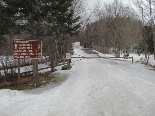
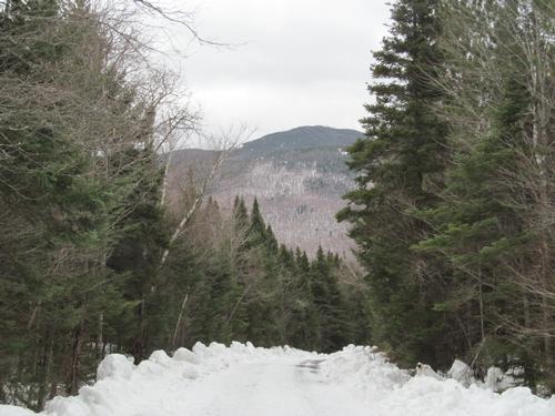
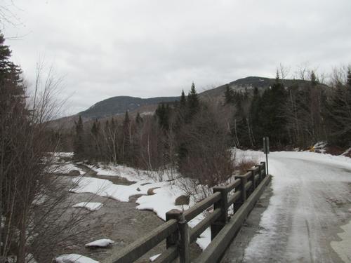
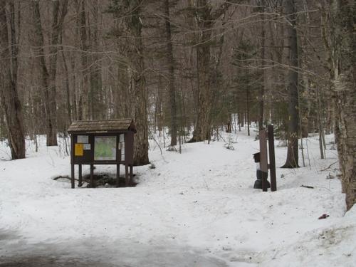
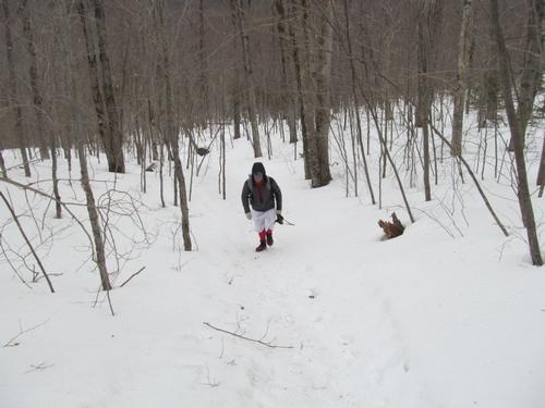
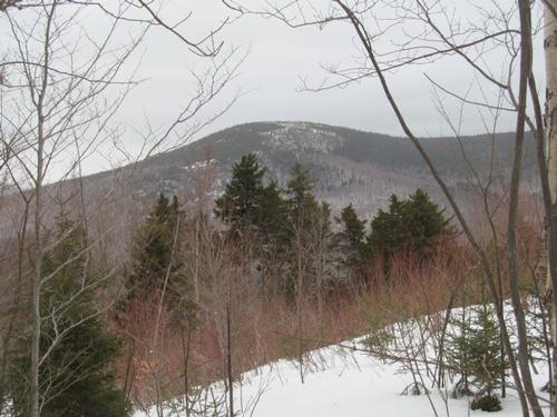
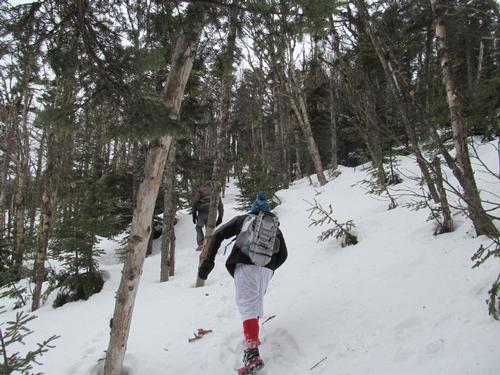
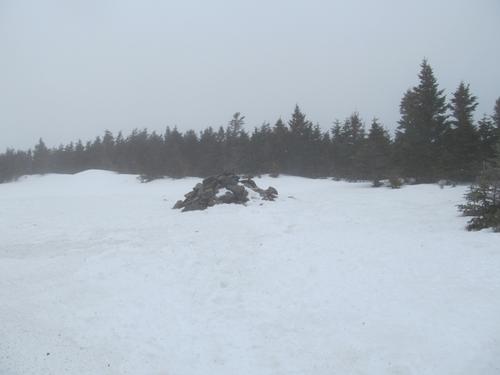
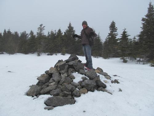
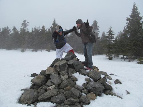
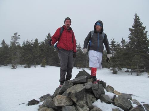
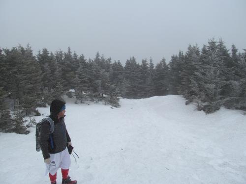
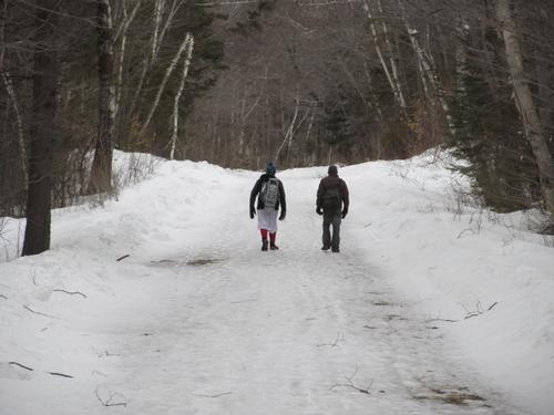
We walked about 0.2 miles down to the Zealand Road and starting walking the 2.5 miles to the Hale Brook Trail. This was a pleasant walk with views of Hale before us on occasion. The road was icy and snow-covered but it had been plowed. In about an hour we had reached the trailhead and we turned onto the trail. This was mostly packed and our microspikes were more than sufficient. As we reached an opening in the trees with good views back towards the Sugarloaf peaks, Andrew had caught up with us. It was 10:50. We continued to climb, running into a few other hikers shortly thereafter. There were good views of the East Peak along the way. As we ascended there were more pine and this persisted until just before the final push towards the summit (4054'), which we reached at 12:30PM. As we emerged out into the summit clearing, there were very strong winds and if on cue, there was a snow squall. Clouds had also enveloped the summit, so there was no chance for a view even from the top of the cairn.
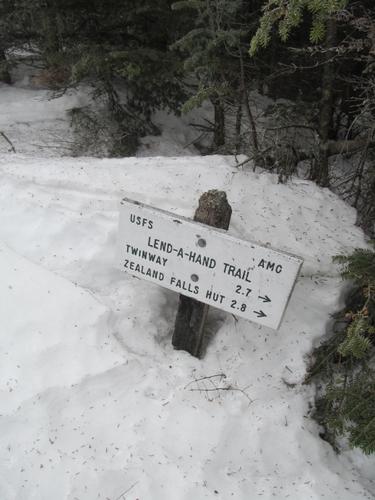
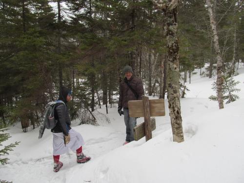
It was time for a lunch break, but we wanted to get out of the wind first. Before we made that decision, we had to decide as a group, what we wanted to do. Since Andrew wasn't with us when we left the parking lot, he didn't grab my extra pair of snowshoes. The bushwhack was out of the question, since we weren't all prepared for it...there was still 3-4 feet of snow off trail. After talking about it, we decided to do the loop by descending off of Hale via the Lend-a-Hand Trail.
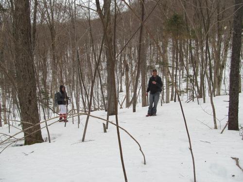
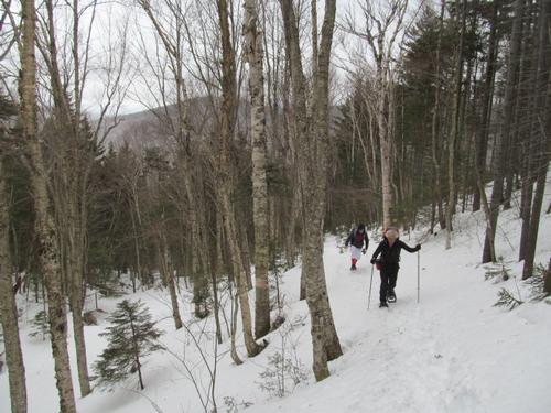
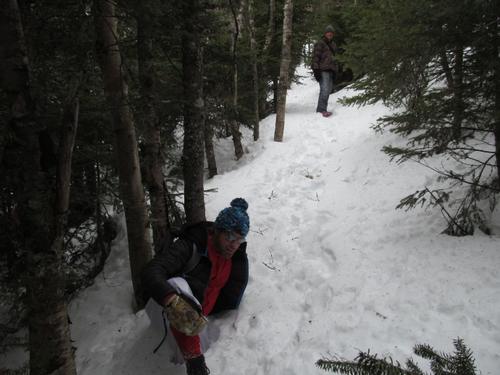
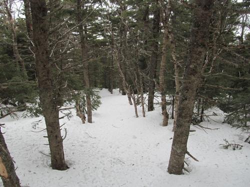
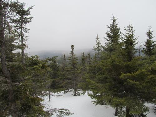
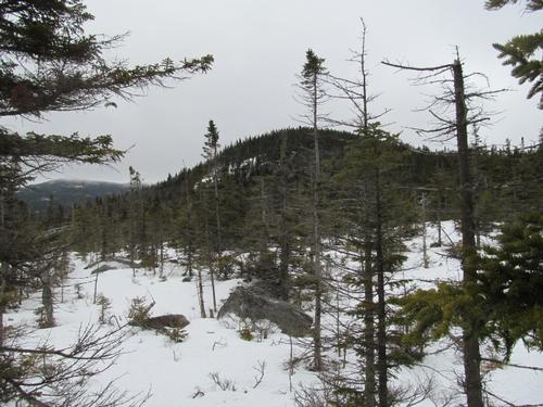
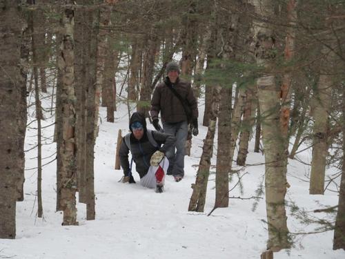
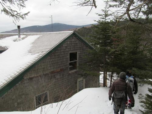
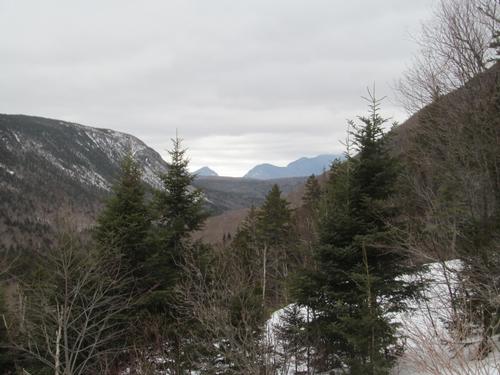
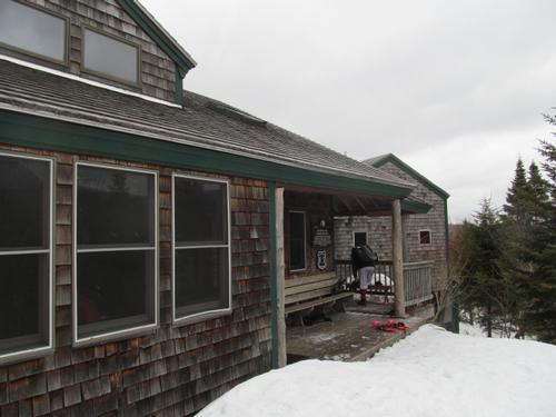
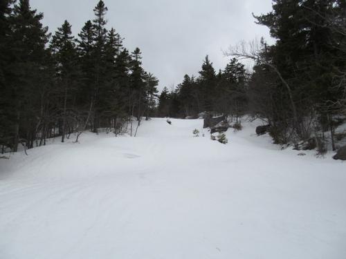
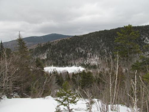
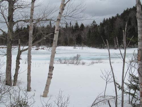
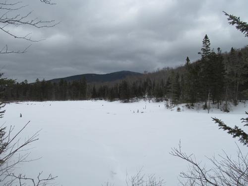
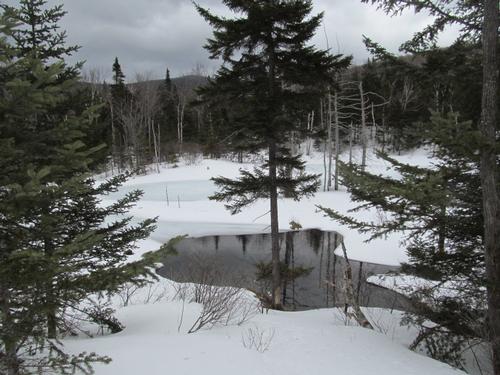
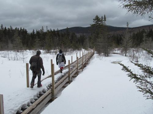
After checking out this trail (to make sure it had been used/packed), we started our descent. This was pretty good, but we did occasionally "post hole". It wasn't too bad though, but it did slow our progress at times. Once out of the wind we did take a short lunch break along the trail. This side of Hale is much nicer with occasional clearings and at times the clouds started lifting to reveal some of the peaks deeper in the Pemigewassett Wilderness...including Mts. Zealand and Bond. The trail was fairly easy to follow and by 3PM we had reached the junction with the AT. This is not far from the Zealand Hut and it only took us another 5 minutes to reach it. Other hikers were arriving for the night and we went in for a break. The views from the hut were very nice and it was starting to clear down through Zealand Notch. After our break we walked the short distance to check out the iced over falls before heading down to the Zealand Trail and the beaver ponds. This trail was fairly flat as it meandered through frozen over wetlands and the surrounding woods. We made it to the road again by 4:25PM (the end of Zealand Rd). We just needed to follow this all the way back to Route 302. We made great time and we hiked the 3.5 miles in a little over an hour! There was a police officer at the head of the road. He had a collection of alcohol bottles on the hood of his cruiser and a young man with him. Apparently, there were guys in his group that he was looking for. They apparently may have been set to camp and party overnight. We told the officer that we had not seen them on our way back and we then walked back to the cars.
Afterwards, Andrew had to head back home, while Tim and I headed over to Rosa Flamingos in Bethlehem for a bite to eat before calling it a day.
While we didn't meet our objective of bushwhacking out to East Hale, it was a wonderful day out. With the limited visibility we wouldn't have gotten much of a view anyway. The peak will be there for another day! Still the loop was nice, despite some postholing. I always have found the backside of Hale to be a nicer part of this mountain anyway. Thanks to Tim and Andrew for joining me on this adventure!
This modified trip (the loop around Hale) was approximately 14.1 miles with 4637 feet in total elevation gain. It took us just over 8 hours at a comfortable pace.
Event photos (31)
Reactions
Log in to react to this trip report.
About this event
Mt. Hale is one of least remarkable 4000-footers in the White Mountains (besides Zealand). Its summit stands at 4054 feet and is a large open area completely encircled by trees. The summit is marked by a large cairn, where a fire tower once stood. A view can sometimes be had from atop of the large summit cairn. East Hale is made up of open ledge(s) with wonderful views out over to the Willey Range, Presidential Range and Zealand Notch. Half of this hike is via Zealand Road, which is closed in the winter. The Hale Brook Trail will be used to the summit of Hale and then we will bushwhack over to East Hale...descending back to the Hale Brook Trail. NOTE: Much of the bushwhack portion of this hike is through mostly open woods but it may require “trail-breaking”.
Total Distance and Elevation Gain: ~9.2 miles with approximately 2580 feet in elevation gain.
Total Time: 7-8 hours depending on breaks and group's speed.
Harsh weather may postpone to another date or cancel, as appropriate.
What to Wear/Bring: Snowshoes may likely still be necessary and should be adequate for the entire hike (microspikes should be packed as well). Wear warm layered clothing suitable for the exposed ledge(s) and summit(s)...no cotton or blue jeans. You should also have insulated boots and gloves suitable for the season. Additionally, consider bringing goggles, face protection, hand warmers and a headlamp/flashlight. Bring along plenty of water (at least 2 liters), lunch, snacks and anything else you may require for a day hike.
Carpooling: Contact other participants or the trip leader to arrange for a rideshare to the trailhead.
Afterwards: If there is sufficient interest, we will have drinks and/or dinner in the area. Most likely Fabyan's in Bretton Woods.
Who came along (2)
 GUEST MEMBER
Comments
Log in to join the conversation.