
The trip report
On Saturday, March 28th, John, Tim and I met up at the Mt. Kinsman Trailhead in Easton. Andrew hadn't shown up yet by 9:30, so we headed out (the road conditions on the way up were treacherous...with very icy conditions between the Lakes Region and Thorton). It was mostly overcast with temperatures hovering just below freezing. Luckily there was little wind.
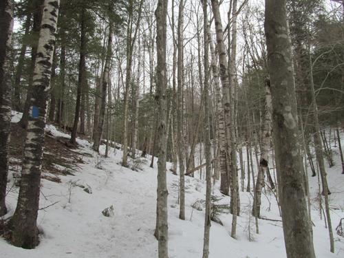
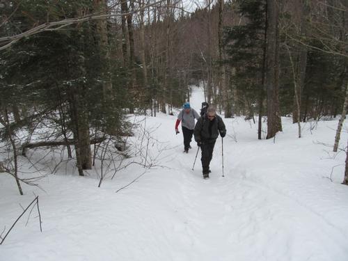
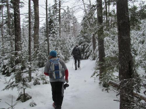
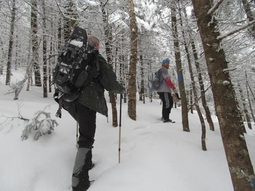
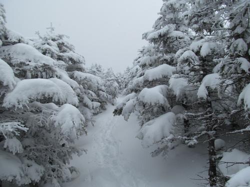
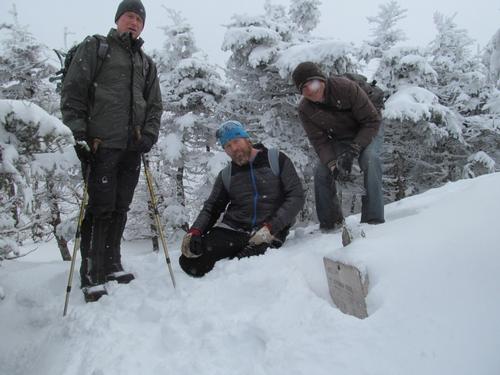
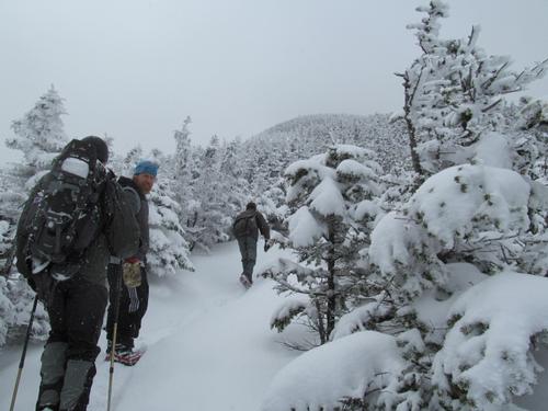
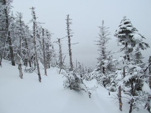
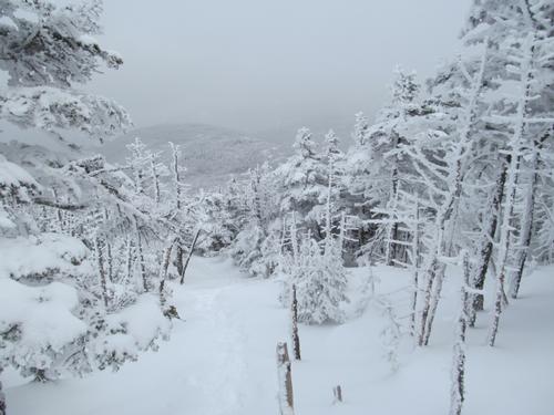
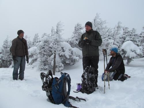
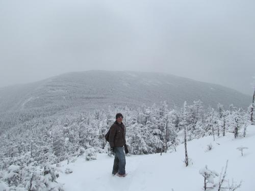
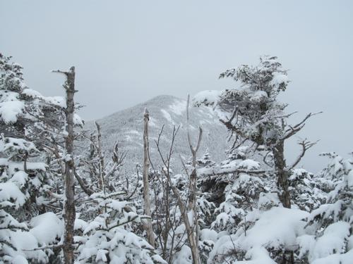
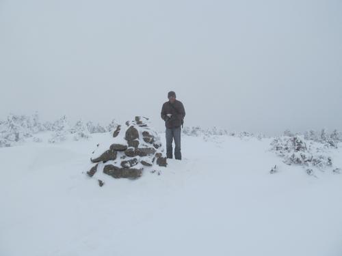
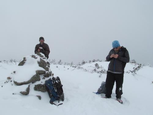
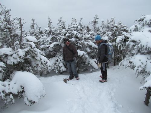
The trail was pretty solid initially. John was bare-booting it, while Tim and I had put on microspikes from the start. As we climbed in elevation there was an inch or two of fresh snow on the trail. Still, the going was good with only minor postholing. Alittle before we reached the trail junction for Bald Peak, Andrew had caught up with us. It was 10:40 and the pine trees were covered in a beautiful layer of new snow. We continued to ascend the mountain, as the trail began to steepen. Approaching the trail junction for the Kinsman Ridge, the trees thinned out and it was much more open. We reached this junction by 12:10PM. As an indication of just how much snow there was still up here, he trail sign was almost totally buried still! From here we turned south towards North Kinsman, which we could see, despite the limited views (normally this portion of the trail provides views toward Cannon Mtn and the Notch). Continuing to climb, we reached the summit of North Kinsman (4293') by 12:30. Again, there were usually wonderful views, but at times we could just barely make out Lonesome Lake below. Up here there was now about 3-4 inches of new snow. We stopped to have lunch before continuing on. After lunch, John headed back as he had to be somewhere that evening. Andrew, Tim and I set off for South Kinsman by 12:45. As we descended the peak, there were hazy views over to the other summit. Climbing up South Kinsman there was at times views (again hazy) of the north peak. We reached the South Kinsman summit (4358') at 1:30. This peak was more exposed and the wind definitely provided an extra chill in the air. We stayed here for about 10 minutes before turning around and making our way back via the same route. On the return we stopped again at the ledge on North Kinsman and chatted with a couple there for a few minutes.
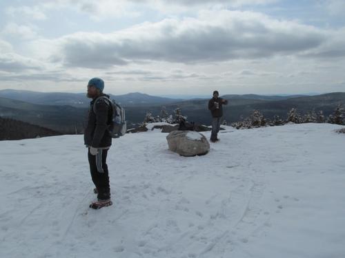
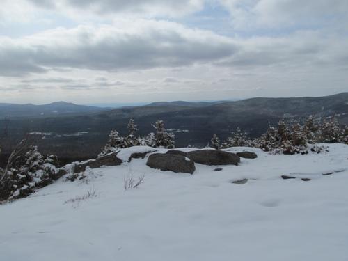
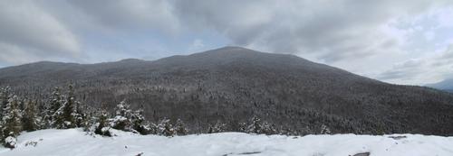
We headed down turning back onto the Mt. Kinsman Trail (2:50). The descent was easy enough and when we got to the trail junction for Bald Peak we decided to take the 0.2 mile spur out to its summit. The clouds were breaking up finally by this time and it was a good opportunity to at least get some views! We reached this mostly bare summit by 3:45. It was still somewhat overcast, but with good views back towards North Kinsman...and even clearer views to the smaller peaks to the west (Moosilauke to the south was still in the clouds). We headed back towards the main trail and continued our descent back to the parking lot. We made it back to our cars by 5:12PM.
Afterwards, Andrew had to head back. Tim and I chatted with another hiker in the parking lot for awhile (an interesting "redliner" who was waiting until dark to start his hike) before we both left for our respective homes.
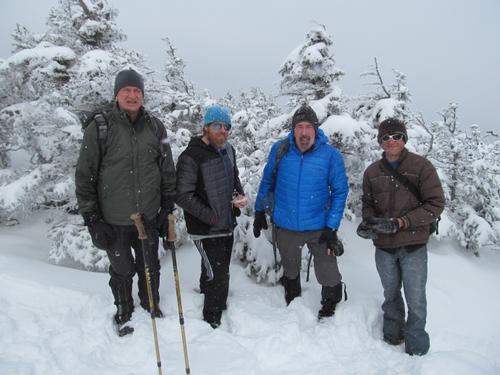
Despite the lingering winter conditions and lack of clear views, it was a very enjoyable day out with a wonderful group of GO'ers! Thanks to John, Andrew and Tim for joining me on the adventure and for the great conversations throughout the day.
Event photos (20)
Reactions
Log in to react to this trip report.
About this event
Join me for this 10.4 mile snowshoe up to the summits of the two Kinsmans...North and South (4293' and 4358', respectively). We will ascend by way of the Mount Kinsman Trail, which approaches the ridge from the west. The ridge is only 3.7 miles from this trailhead. Both of these peaks offer spectacular views. From North Kinsman there is a ledge which looks northward along the ridge as well eastward over Lonesome Lake and over to the Franconia Ridge. The more open South Kinsman provides nice views in all directions. There is an optional 0.4 mile addition on the descent to take in the view on Bald Peak (if time permits). For the most part the trail is less steep than the ascent from the east, but there will be a few short steep stretches of trail.
Total Distance and Elevation Gain: The distance is approximately the same as the eastern ascent (10.4 miles) and the elevation gain is about 3350 feet.
Total Time: 8 hours depending on breaks and group's speed.
Harsh weather may postpone to another date or cancel, as appropriate.
What to wear/bring: Traction may depend on weather conditions just prior to the hike: Snowshoes or microspikes should be adequate for most of the hike. Wear warm clothing suitable for the exposed ledge and summit(s)...no cotton or blue jeans. You should also have insulated boots suitable for the season. Additionally, consider bringing goggles, face protection and a headlamp/flashlight. Bring along plenty of water (at least 2 liters), lunch, snacks and anything else you may require for a day hike.
Carpooling: Contact other participants or the trip leader to arrange for a rideshare to the trailhead.
Afterwards: We will head back to Lincoln/North Woodstock for drinks and dinner, if there is sufficient interest (likely the Woodstock Inn).
Who came along (2)
 GUEST MEMBER
Comments
No comments yet.
Log in to join the conversation.