
East Mountain Hike
An Interesting and Fun Day Out to See an Old Radar Station Atop East Mountain.
The trip report
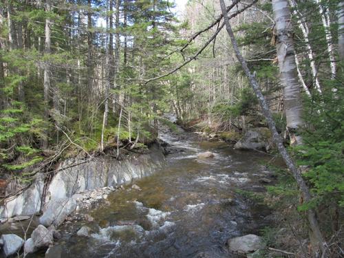
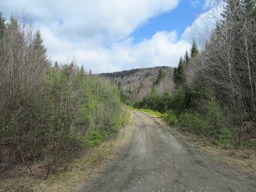
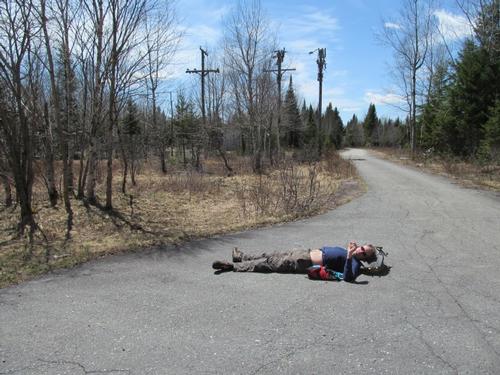
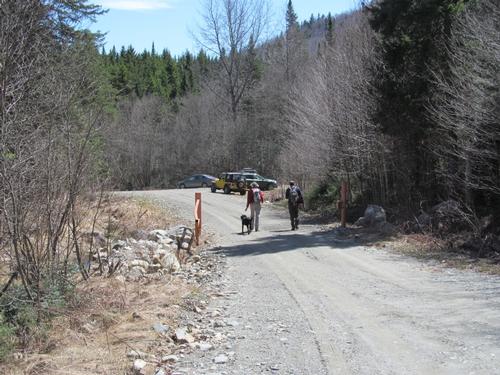
On Sunday, May 11th, several of us first met up at around 8AM in Lyndon Center to carpool up to the "trailhead". We took Rt. 144 up to the unmarked "Victory Road". This was a well-maintained road, even if it wasn't always paved. In an area known as Gallup Mills, we turned onto Radar Road (also unmarked). This was a logging road, which apparently has not been maintained regularly. We encountered about half a dozen spots in the road where there was serious errosion. They looked like gaps in the road upon approach, but most could be managed with extreme care. One was about 4 feet deep on one side of the road! Each time everyone got out of the car to inspect the gaps and then I slowly drove over them, while being guided across the best spots. In a couple of spots, I bottomed out. Otherwise, the road was dry though. By alittle after 9AM we had made it to a flat "parking" area just before the gate. Surprisingly, the gate was open though (I had read that it was locked). Anyway, given the condition of the road, we ended up waiting for the others to arrive. At about 9:30 we were all amazingly there! A couple of guys had driven from the northern end of Radar Road (GPS route) and they encountered deep mud (they had to open a closed gate to do this).
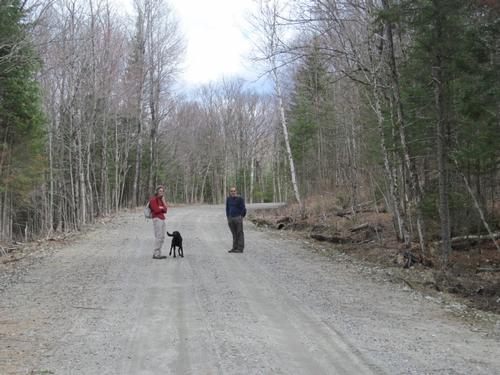
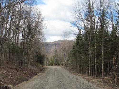
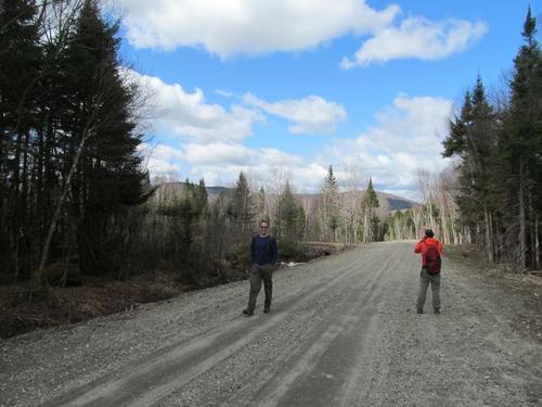
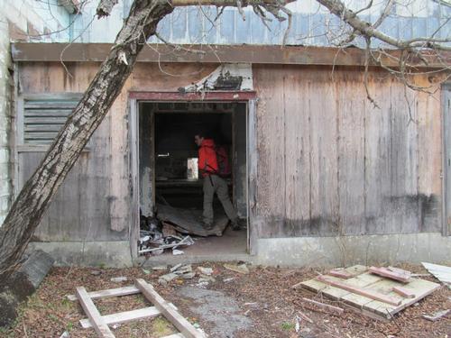
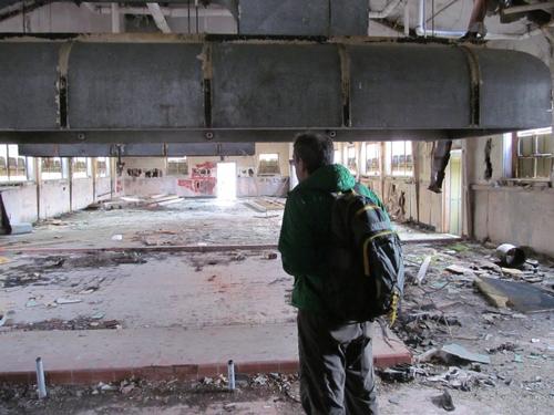
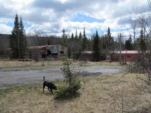
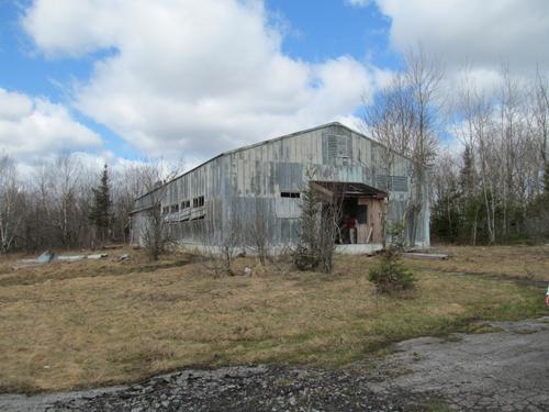
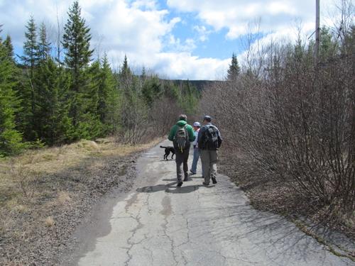
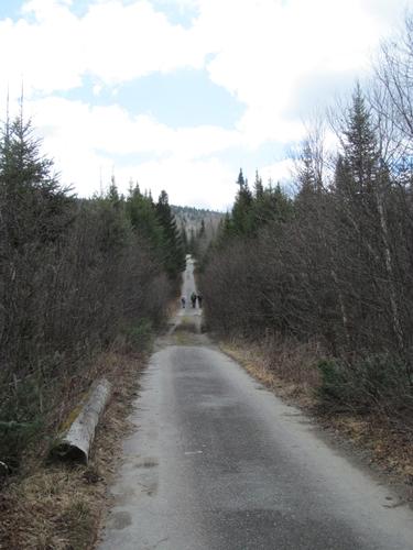
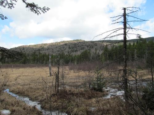
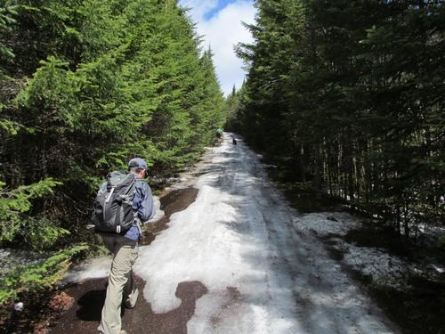
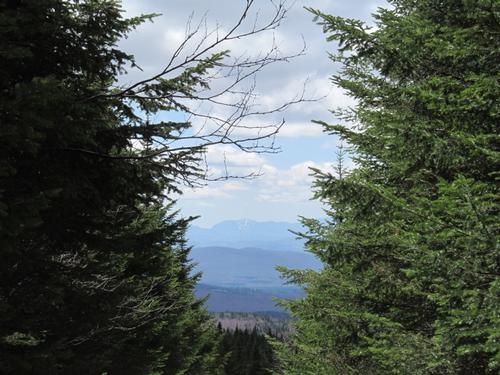
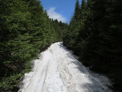
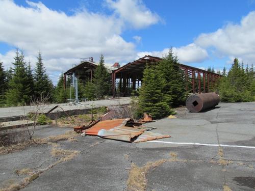
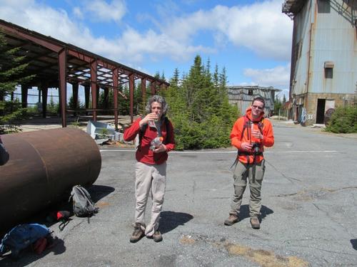
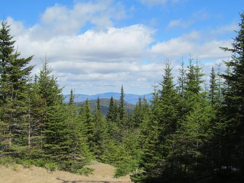
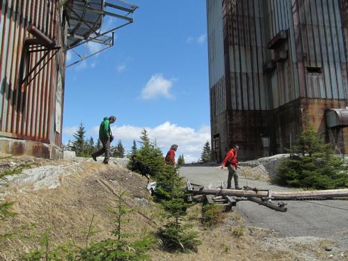
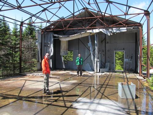
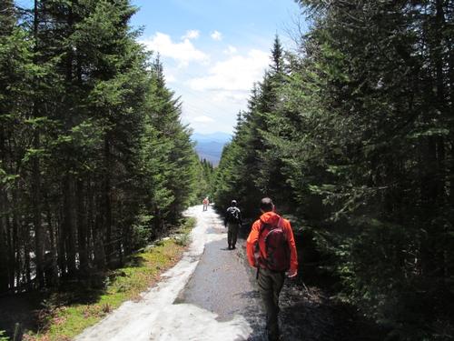
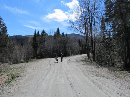
So...we were all there...a couple of Jims, James, Mark, Martin, Eugene and myself (I had spoken to Wayne too and he was running really late and was supposed to meet up with us during the day). Anway, we started our walk up Radar Road. It was a beautiful day, with a bit of a chilly wind. The walk was very pleasant with some views of the surrounding mountains. By about 10:30 we had reached the half-way point, where part of the old air force base was located. This consisted of mostly supporting structures...a mess hall, barracks and utility buildings. We explored some of these, before continuing up the road. Along the way there was one spot with a good view of the summit and its structures. Not long after this point we were starting to encounter some snow on the road. With it being as warm as it was, the snow was mostly slushy, insteady of icy, so it was fairly easy to walk across.
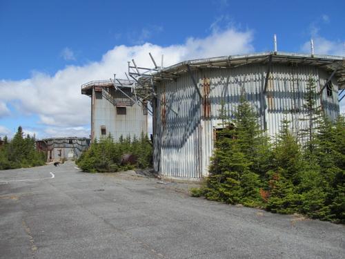
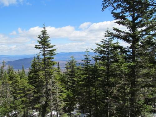
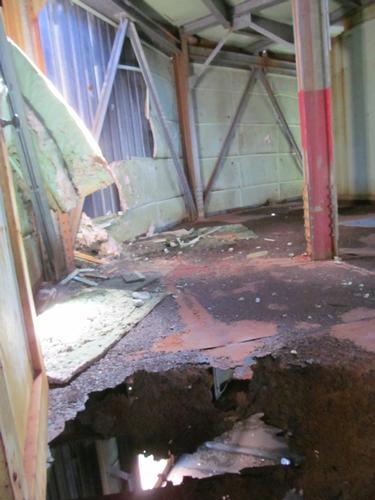
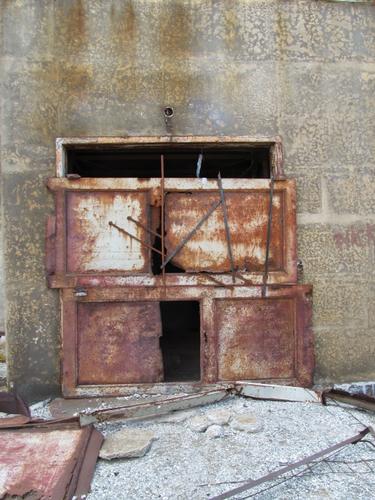
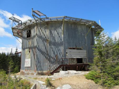
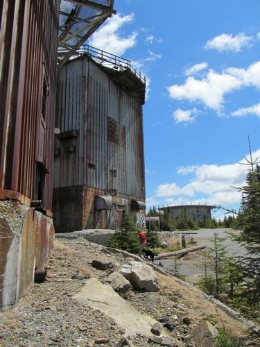
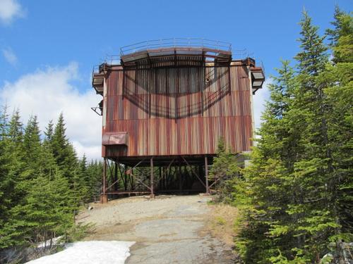
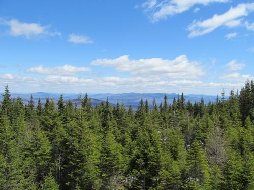
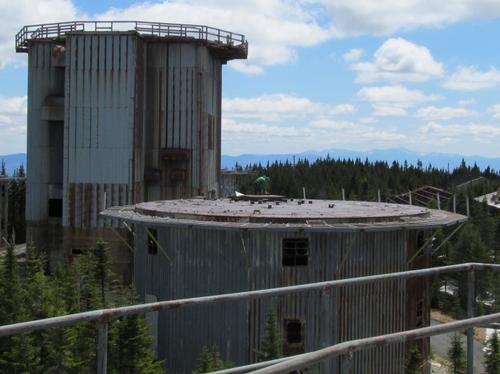
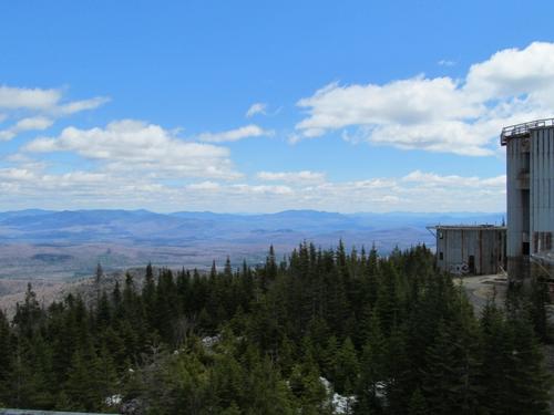
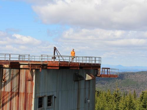
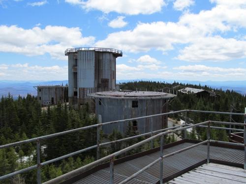
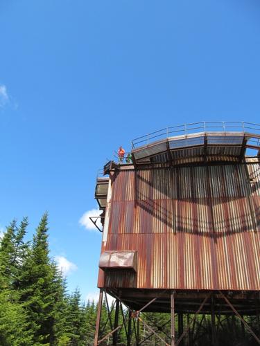
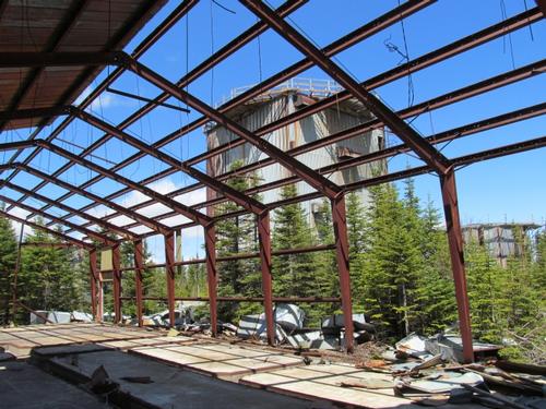
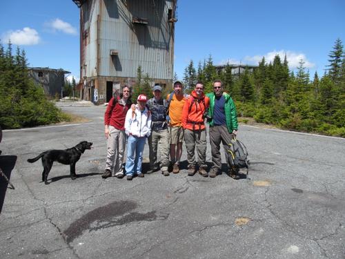
By 11:30 we reached the summit with its four radar towers and other buildings in various states of decay. There were limited views from the summit into the surrounding mountains, but we wanted to get better views and I had read there was a way up at least one of the towers. Most of the accesses had been welded shut with holes you could squeeze through. We explored one which was fairly easy to get into; however, once inside the floor was so badly corroded that you had to stay on the seams where there was still support under the floor. We got up to the second floor without too much trouble, but the floor was missing beyond the doorway. This didn't stop Mark who managed his way up and through the roof!
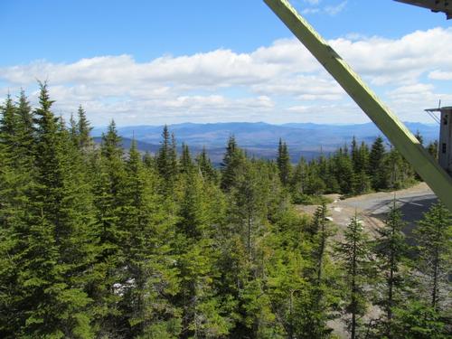
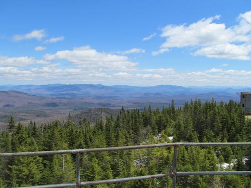
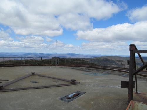
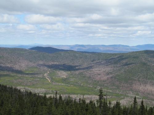
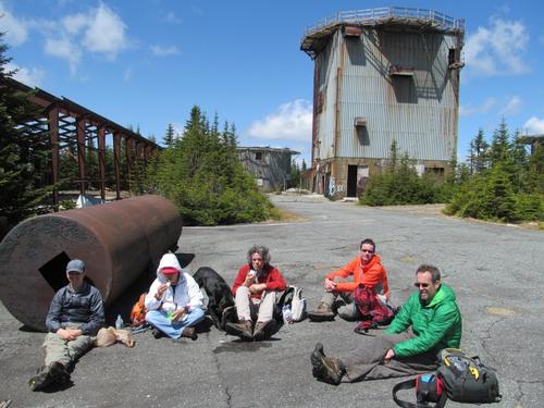
The tower at the far end had a poured concrete floor and it was much easier to climb to the roof. This provided wonderful views, not only of the site, but also into the surrounding wilderness and mountains. Anyway, after playing and exploring we all settled down and enjoyed our lunches while soaking in the sun! We had also enjoyed a champagne toast on the summit, thanks to Mark who had brought it up for my 50th birthday!
At 1PM we started on our way back. Not long after leaving the summit, we ran into Wayne! We spoke for a bit and he continued on to the summit while we continued back to our cars, which we reached again by 2:40PM.
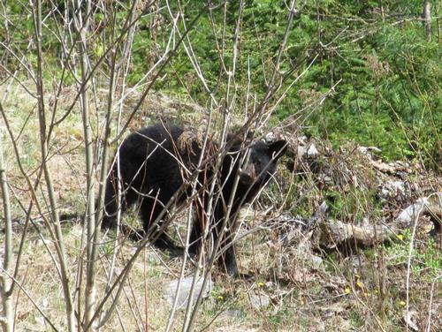
We got ready and caravaned out as a group. We had also collected a number of rocks and placed them in my truck so we could fill in some of the deep holes in the road. As a group effort, the road was a little easier on the way out. Once safely out to Victory road again, we headed down to Tamarack Grill on the Burke Mountain Ski Resort. Along the way we saw a bear cub playing by the side of the road. Very cool to see. Upon arriving at the resort, it was a little before their opening (4PM), but we were able to gets drinks and light appetizers, as they were cleaning up from a Mother's Day brunch.
What a great way to spend my 50th birthday! Thanks to everyone for coming along and braving the logging roads to join me on a beautiful day and hike to see an interesting historic site! It was a fun, social day out. A special thanks to Mark for the champagne and Martin for the chocolate!
Event photos (48)
Reactions
Log in to react to this trip report.
About this event
Join me for a relatively modest hike up East Mountain, which will provide an opportuntity to see some unusual relics left behind from the Cold War. East Mountain (3439') is the highest point in Essex County, VT. It also ranks as 46th on the list of Vermont's 50 highest peaks and is 29th on the list known as New England Fifty Finest Peaks. This now abandoned radar station and base was commissioned in 1952 by the US Air Force, and it was operational by 1955. It was originally known as the North Concord Air Force Station, but later changed in 1962 to Lyndonville Air Force Station. This facility saw most of its use during the Cold War. It was one of many ground-based radar stations that were scattered around the U.S. at the time, and was used to seek out Russian planes or missiles entering U.S air space. The site was abandoned in 1963, and the rundown buildings now serve as a reminder of the Cold War. This is an out-and-back hike along an old access road. There are some views along the route, but it is for the most part heavily treed. The real attraction are the summit structures as well as the supporting structures half way up the mountain.
Total Distance and Elevation Gain: 7-8 miles with approximately 1640 feet in elevation gain.
Total Time: 5-6 hours depending on breaks and group's speed.
Harsh weather may postpone to another date or cancel, as appropriate.
What to Bring: Typical early spring hiking gear should be appropriate: convertible hiking pants, good sturdy hiking boots with thick socks, a windbreaker/raingear and extra layers (e.g. fleece). Also bring along lunch, snacks and plenty of water (at least 2-L). Optionally, pack sunscreen, bug spray, and anything else that you may require for a day hike.
Carpooling: Contact other participants or the trip leader to arrange for a rideshare to the trailhead. Carpooling is encouraged particularly for the forest/logging roads. Options will be provided the week of the trip for those interested.
Afterwards: If there is sufficient interest, we will have drinks and/or dinner in the Burke/Lyndon area afterwards.
Comments
No comments yet.
Log in to join the conversation.