
All trip reports
Trip Report
Moderate
Mount Crawford Hike
A refreshing late summer summit in Crawford Notch!
The trip report
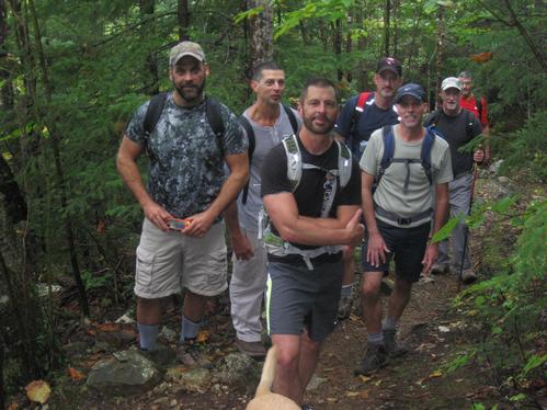
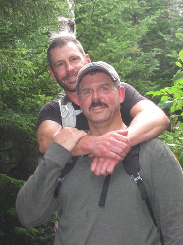
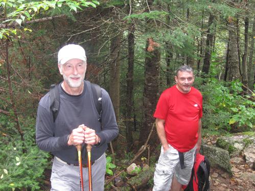
On a cool and rainy Saturday morning, 8 enthusiastic hikers met at the Davis Path trailhead parking area at 9:15am on September 14, 2013 to ascend the picturesque summit of Mt Crawford.
With unexpected overnight and early morning showers a few members had decided to cancel and others unsure, but Scott and I were determined that the weather would break favorably and our instincts were right. We got there early, around 8:30am, with only Tim’s car in the entire parking lot and a confused looking Burmese Mountain dog near the Saco river that Scott coached back to the Inn across the street.
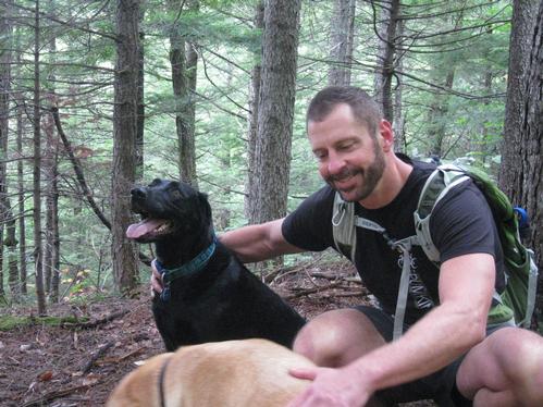
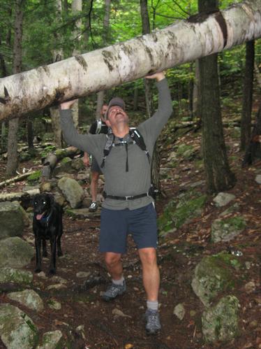
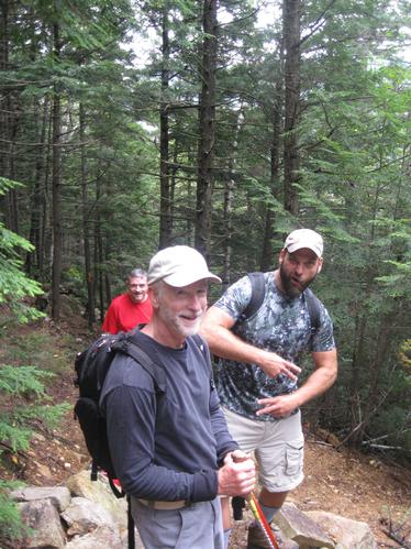
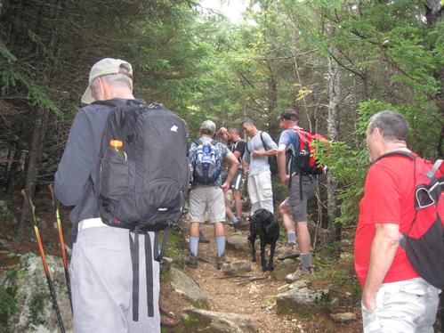
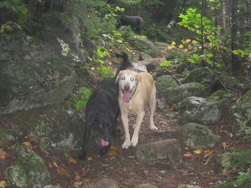
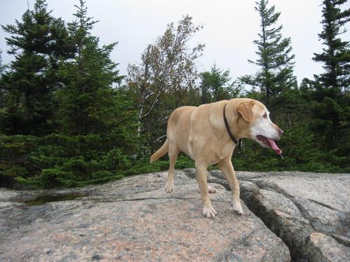
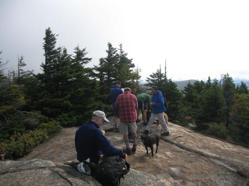
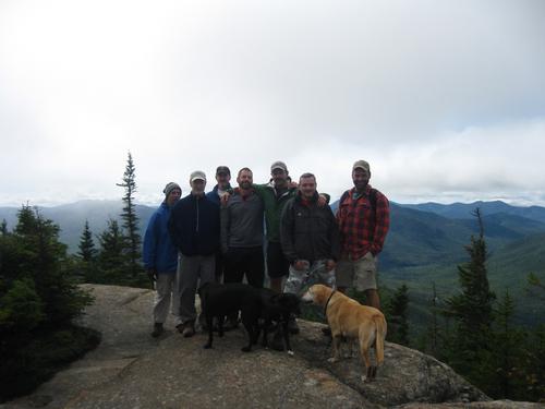
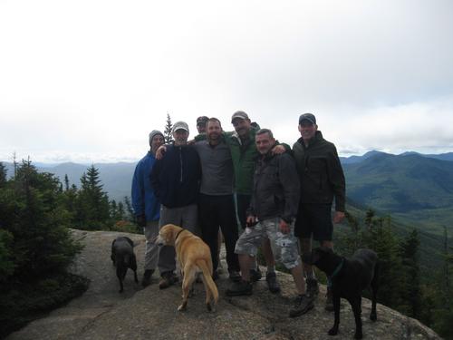
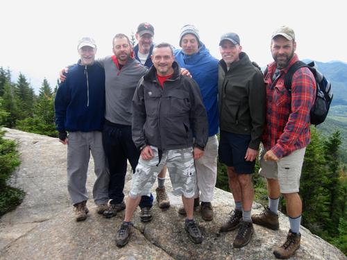
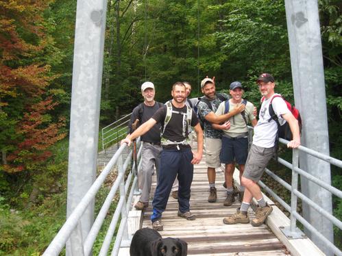
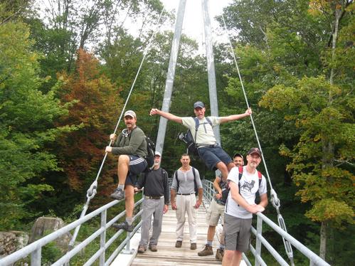
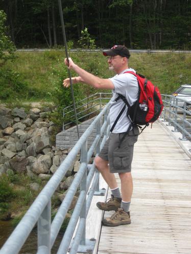
By 9:30, after introductions were made... Tim, Tom, Tyler, George1, George2, Bob, Scott & I, along with our canine companions Sonny, Comet & Halley, headed out over the Bemis suspension footbridge, across the Saco river and entered the into the woods of the WMNF.
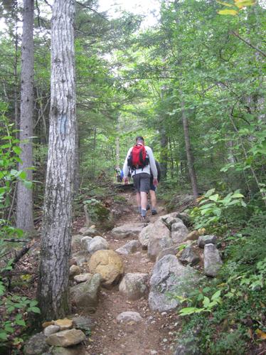
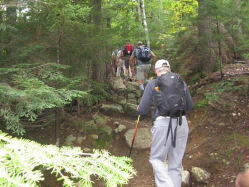
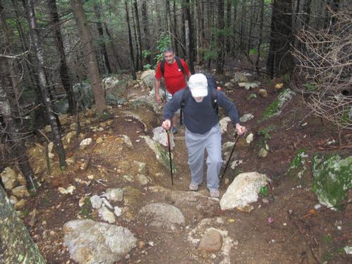
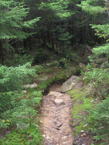
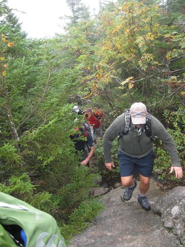
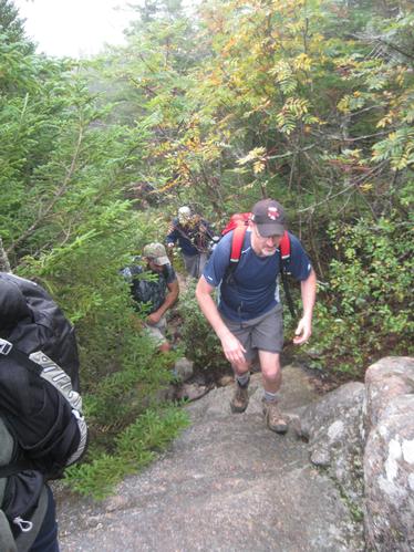
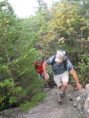
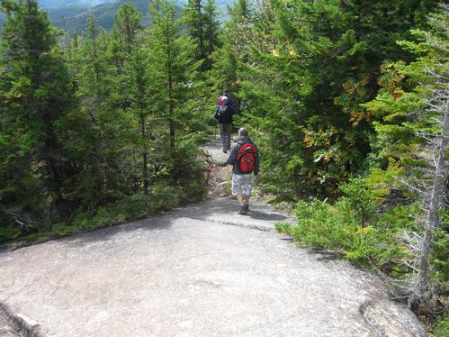
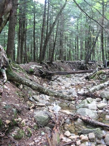
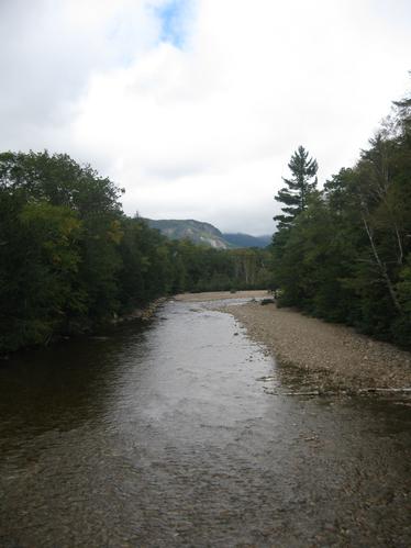
An easy, gentle grade along an old logging road that follows a wide but shallow brook, we soon crossed into the Presidential Range-Dry River Wilderness. At 0.9 miles, we took a sharp right to enter the old bridle path, ascending the moderately steep ridge between Mt Crawford & Mt Hope through a series of switchbacks & zig-zags. The temperatures now pushing over the 60 degree mark with increasingly clearing skies, we stopped at various points to shed layers, hydrate and catch our breath.. all the while maintaining a fairly relaxed but steady cadence.
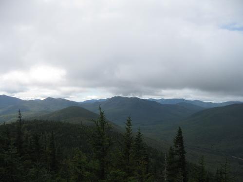
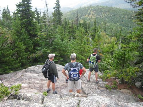
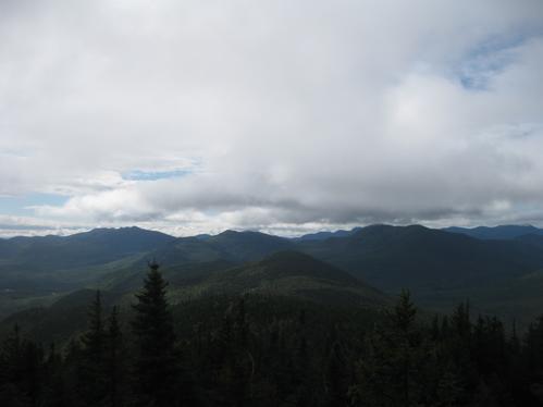
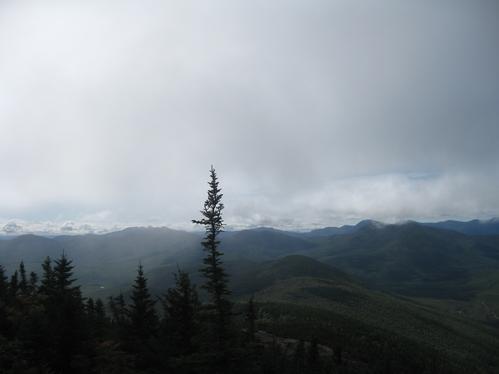
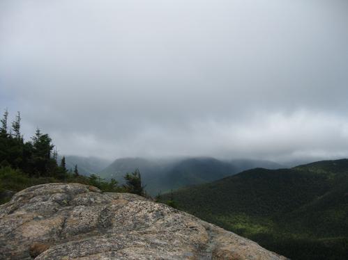
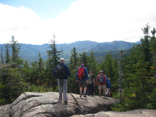
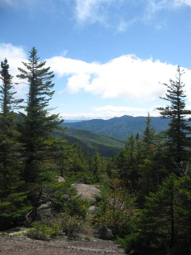
Following the ridge north, we reached the crest at 1.9 miles to discover remarkable views on a damp ledge lookout with fairly clear sightings of Carrigain & Tripyramid. With some patches of blue skies, the distant visibility was still heavily filtered, so after a quick snack we decided to press on.
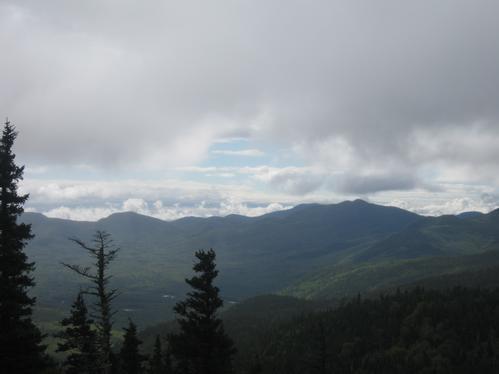
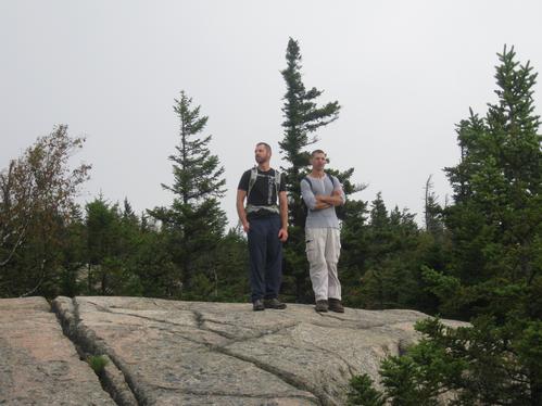
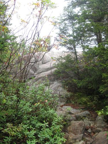
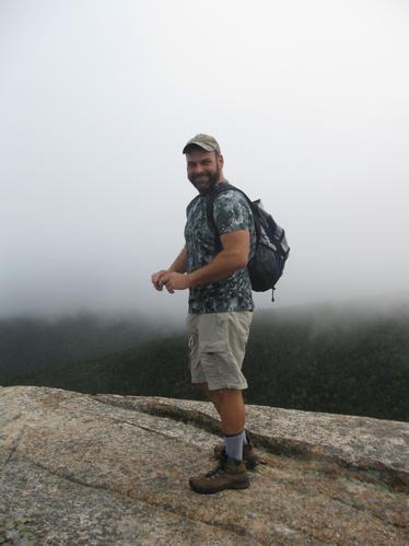
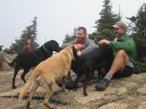
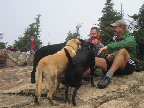
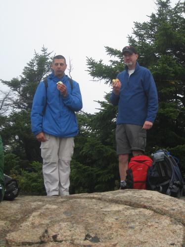
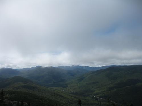
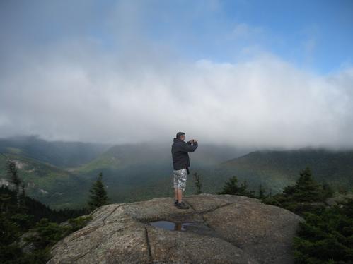
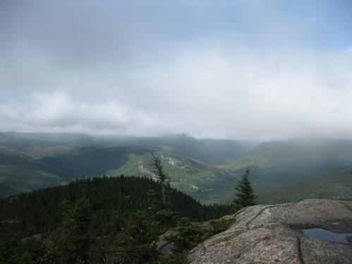
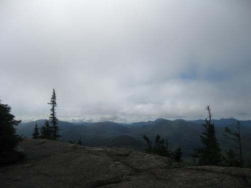
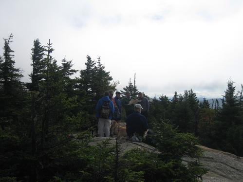
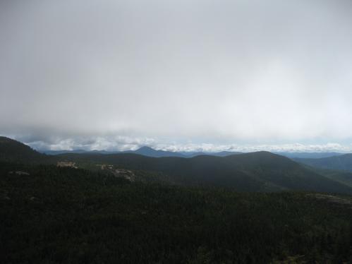
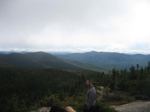
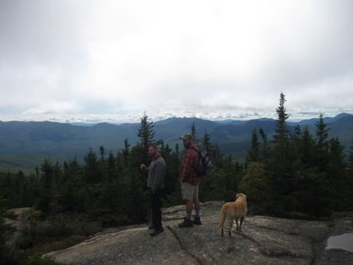
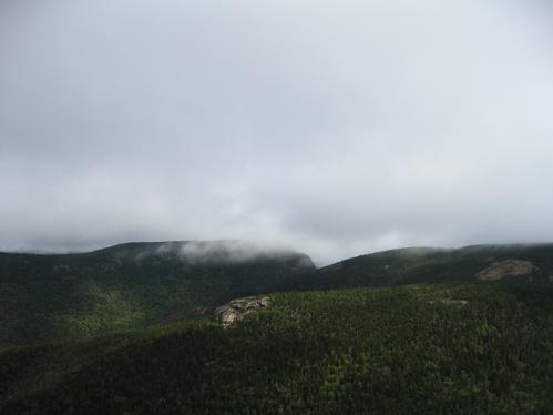
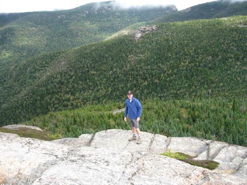
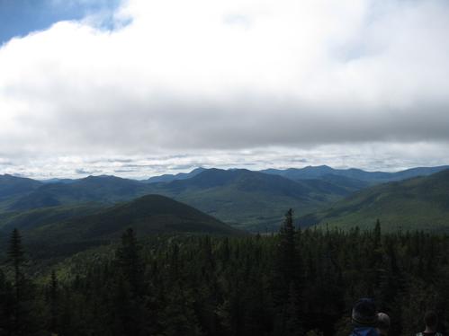
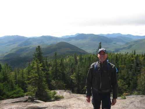
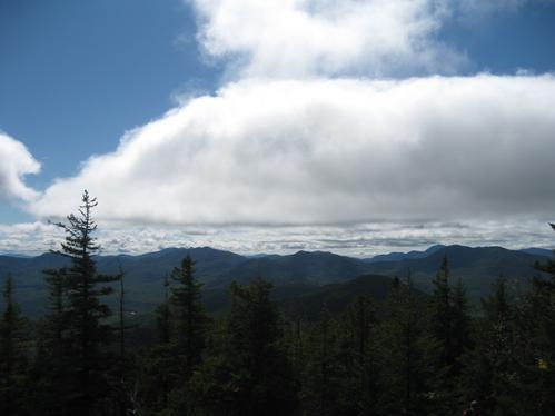
At 2.2 miles, we reached the side trail that diverges left up the still damp sloping ledge leading to the open, bare peaked summit of Mt Crawford. After some brief deliberation to check out Mt Resolution first we headed left and with mildly scattered effort levels amongst the group, we were reunited at the summit just before 11:00am. Fairly windy and cool temps in the 40’s, we decided to hang out and soak in the panoramic views of Crawford Notch and the Dry River Valley. The Presidential Range was nearly invisible as higher elevations were cloud covered, including the nearby top tier of Stairs Mountain.
After a relaxing lunch, some good conversation and a round of identifying the nearby peaks, we decided to strap on our packs and descend back down the trail.
Following an effortless and gravity fed decent, the group reached the Bemis bridge at around 1:30pm. We all hung out and chatted for a bit, then most of the group headed up to Fabyan’s in Bretton Woods for a bite to eat before heading out on our separate ways.
Thanks guys for joining us on one of my all time favorite ½ day hikes. Big thanks to Tim for taking and posting the photos and congratulations to Scott for wrapping his maiden GO voyage and debut Co-lead all in one. See you boys next time… Peace, Kevin
Event photos (54)
Reactions
👍
❤️
🔥
😄
😮
Log in to react to this trip report.
About this event
If you’re looking for a fun hike that offers a big mountain feel for a modest effort, this is your opportunity brotha! An ‘up and back’ trek with an elevation gain of 2100’, the 3,119-foot summit of Mount Crawford provides one of the most stunning vistas in the White Mountains, sort of like being up in a balloon enjoying an aerial view of the Presidentials, Frankenstein Cliff, Willey Range, and Mounts Carrigain and Tripyramid and is a relatively low peak just to the south of Crawford Notch. It is the first peak reached by hikers using the Davis Path, which makes a 15.0-mile ascent of Mount Washington through the Presidential Range–Dry River Wilderness Area. The hike up Mount Crawford begins along the banks of the Saco River, and climbs steadily to the summit, which has excellent 360-degree views. It is one of the oldest hiking trails in the White Mountains and provides a moderate to mildly strenuous ascent. The trail was completed by Nathaniel Davis in 1845 as a bridle path to the summit of Mount Washington. Davis was a son-in-law of Abel Crawford, the “Old Patriarch” of the Crawford family, who brought his family to the area in the 1790s. Abel built the Mount Crawford House near the current trailhead. The trail fell into disuse in the 1850s and was brought back as a footpath in 1910 by the AMC. The total distance for the hike is 5 miles, alotting 5 hours to complete. This will give members ample time for viewing on the summit as well as casual breaks along the way. This is a dog friendly hike, as Scott & I will have 3 of our own.
Be sure to bring plenty of water, snacks & a lunch. As we will be deep into the late summer, it may be wise to bring light layers in case of cooler temperatures and a waterproof shell in case of unexpected rain or showers.
After the hike, we can gather for Pub & Grub at a local establishment, barring group consensus.
Who came along (1)
 GUEST MEMBER
georgep
Hooksett, NH
Comments
Log in to join the conversation.