
Mts. Madison and Adams Hike
This will be an adventure that all of us will remember for a very long time!
The trip report
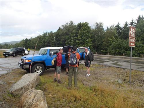
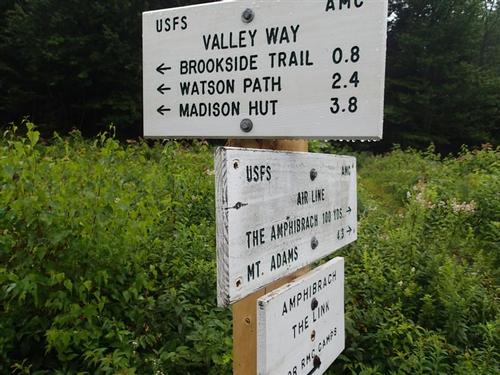
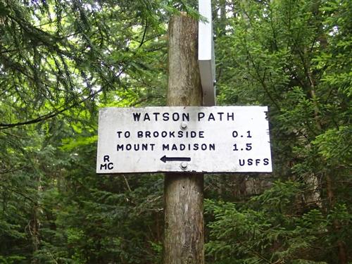
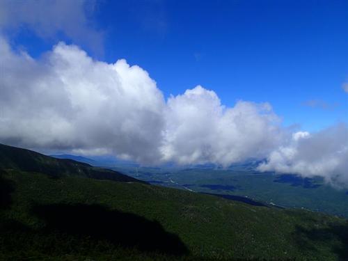
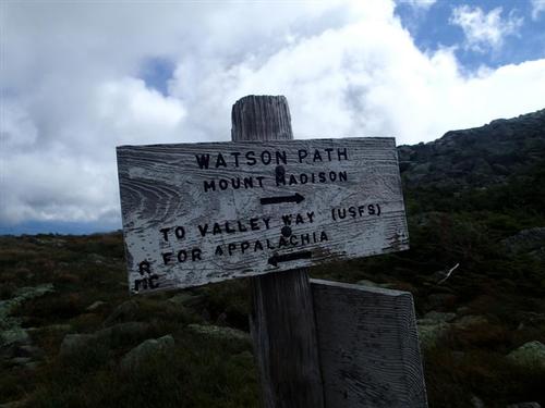
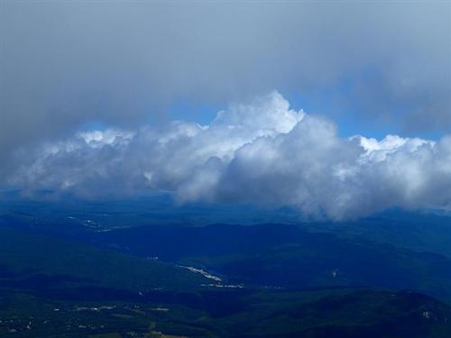
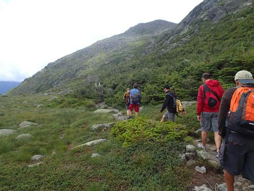
Though the forecast wasn't great, we lucked out [well, mostly]. Nine GOers met at the Appalachia parking lot in the rain but soon after we started, 8:15am, the rain stopped. We went up the Valley Way but for some variety took the Watson Path further up to lead us to Mt. Madison. Temperatures when we started were probably in the mid-60s. As we climbed higher, we could see the nearby ridges in the clouds.
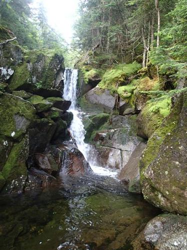
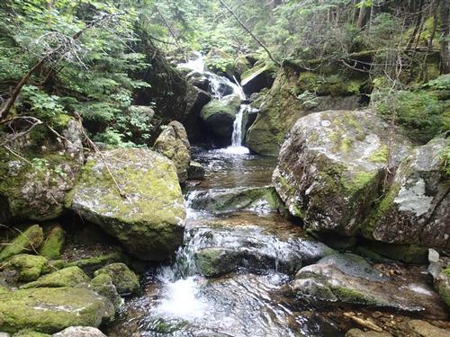
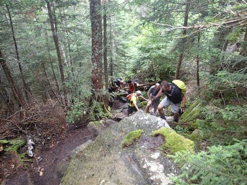
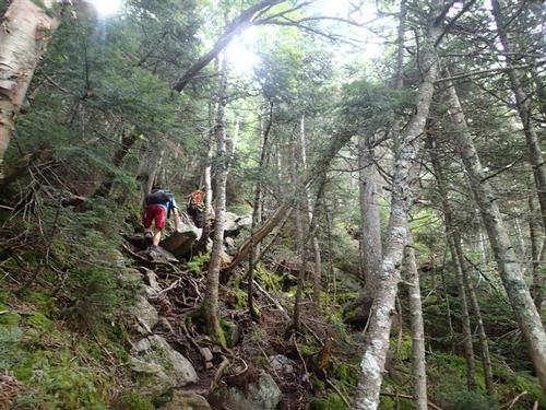
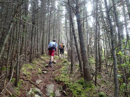
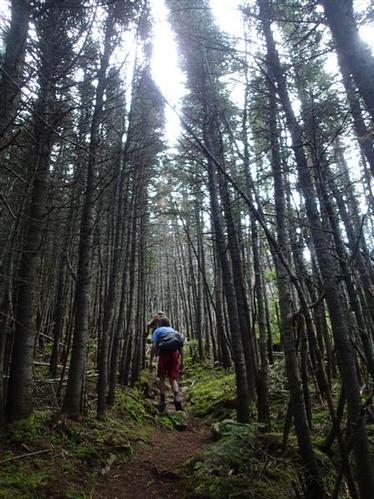
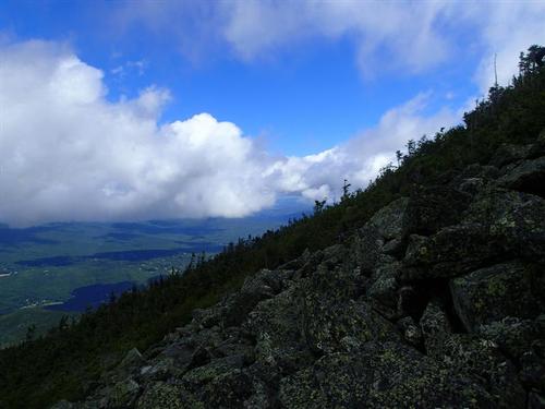
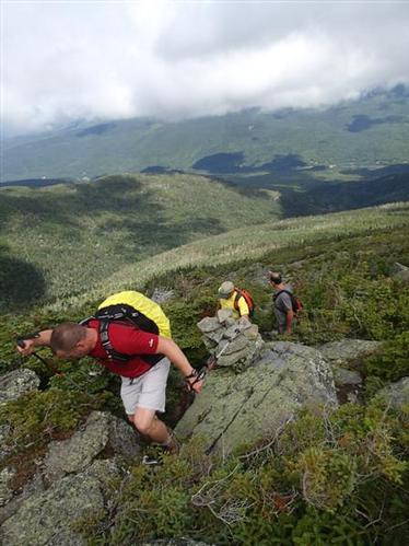
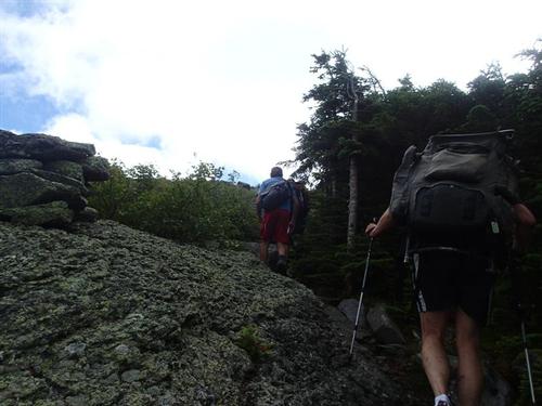
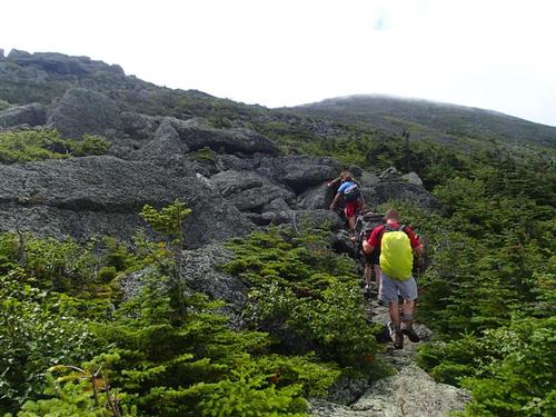
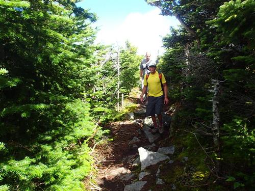
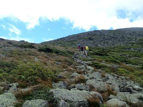
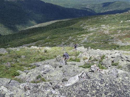
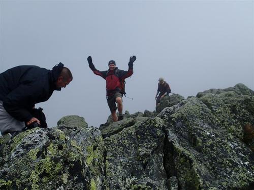
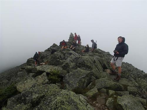
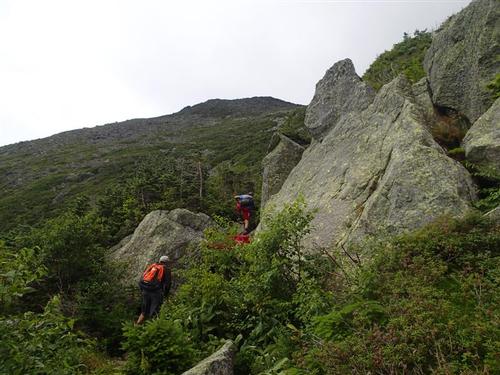
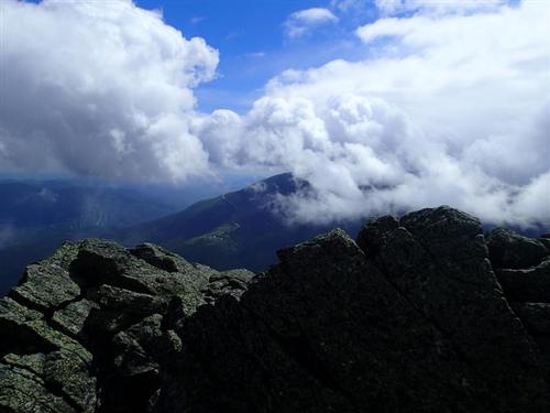
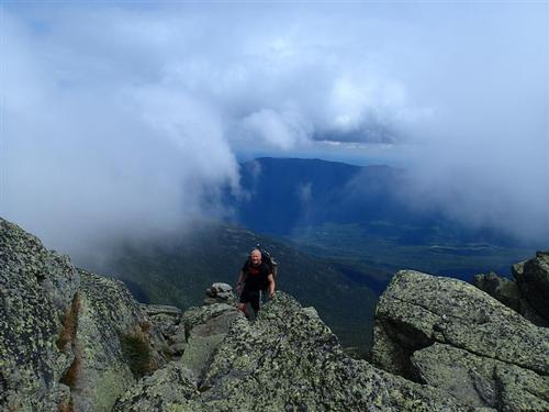
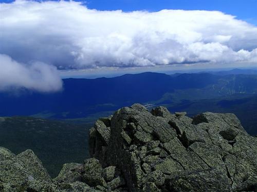
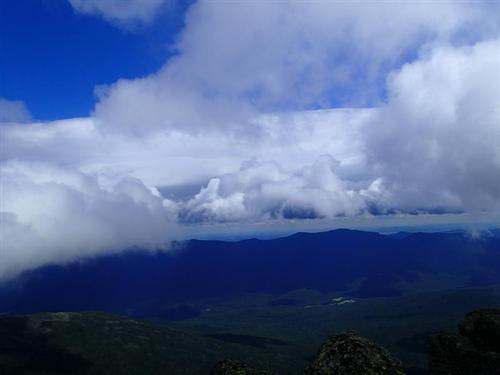
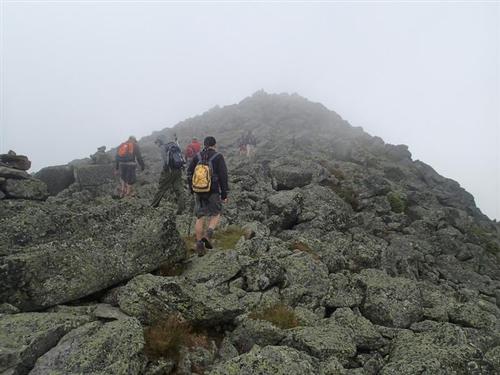
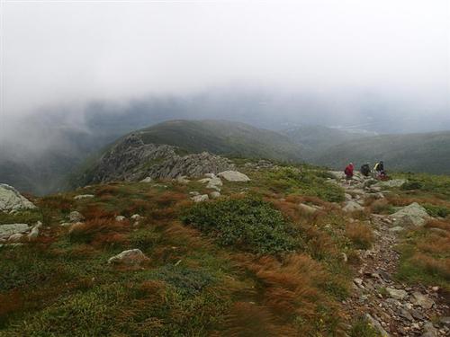
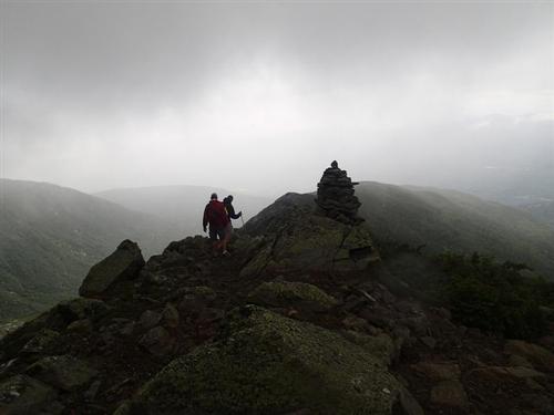
On the Watson Path, we crossed the brook at the base of Duck Fall. We then began a relentless steep and rough climb through a wild conifer forest, with poor footing on roots and rocks. We then emerged from scrub and onto the grassy, stony back of the ridge, where we began to enjoy some views, including Durand Ridge [Airline Trail], our route of descent. We then climbed in the open on a long stretch of rock-hopping, reaching the clouds and the summit of Mt. Madison around noon. It was very windy and we estimated it was near 30 mph. We did get some views and we were the only ones on the summit.
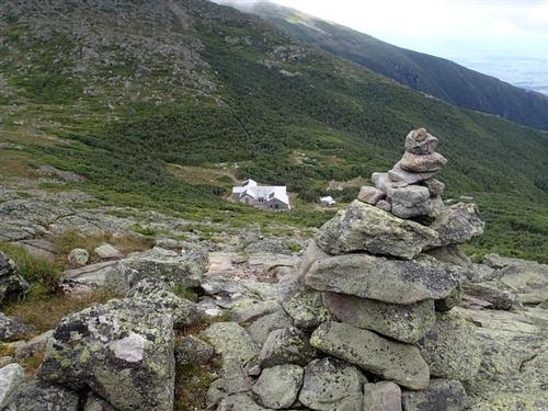
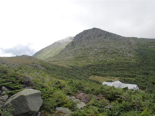
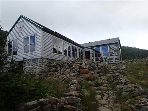
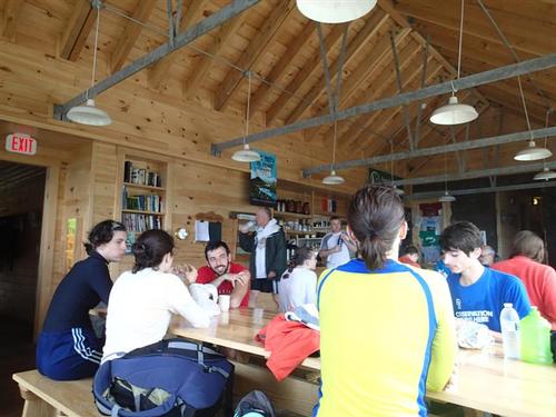
We headed down to have lunch at Madison Hut. Some of us ordered the hot soup. We were thankful to have this facility to shield us from the wind, have tables/chairs to sit on, and even rest rooms.
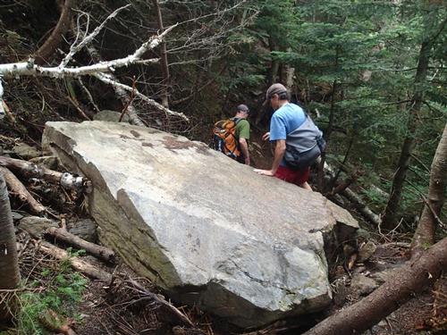
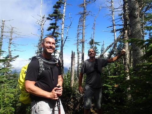
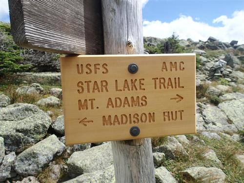
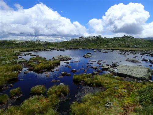
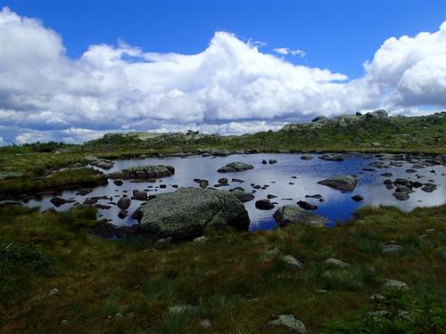
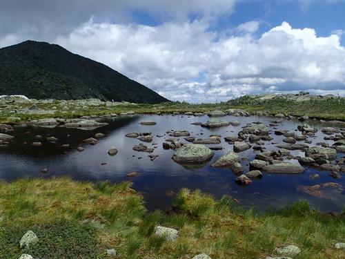
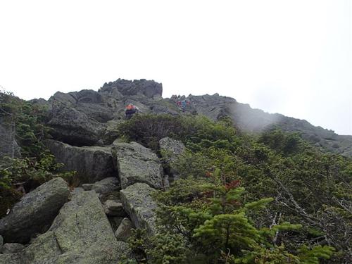
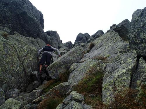
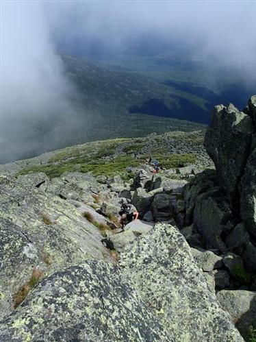
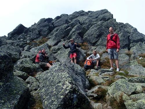
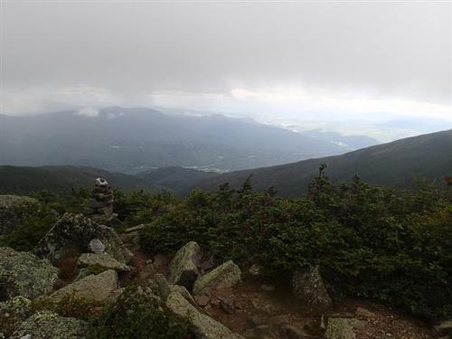
We used the Star Lake Trail to ascend Mt. Adams, taking time to take pictures of the lake sprinkled with lichen-dotted rocks. We then began a brutal climb ~ very steep and rocky, with large boulders and some ledge scrambling up its "chimney." The plus with this approach is that it shielded us from the wind. We took a break at the top of the chimney and enjoyed some views of the surronding mountains. We could even see the auto road up Mt. Washington and the ski trails of Wildcat Mountain. We put on our wind/rain shells because we knew that once we took the corner, we would feel the full force of the wind; and that we did!
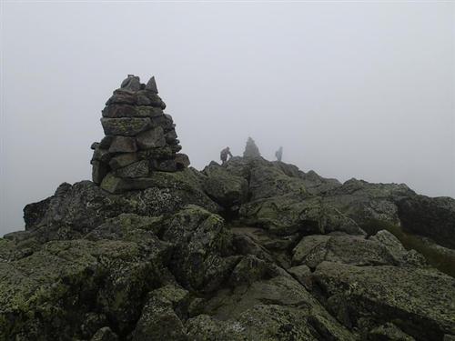
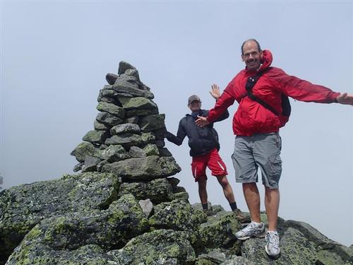
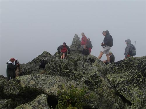
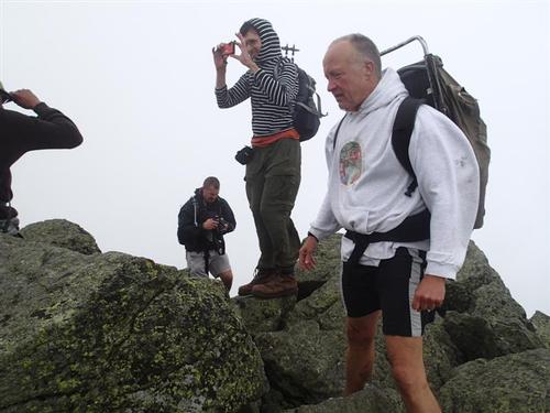
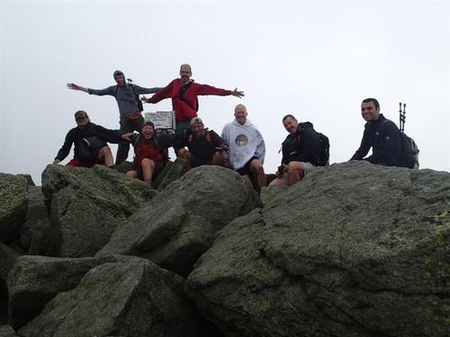
The Mt. Adams summit itself was not that far away as we entered the clouds once again. We reached the summit around 2pm, feeling strong winds. We were the only ones on the summit. We estimated the winds to be around 40mph. We took a quick summit picture and down we went.
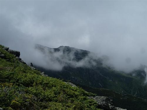
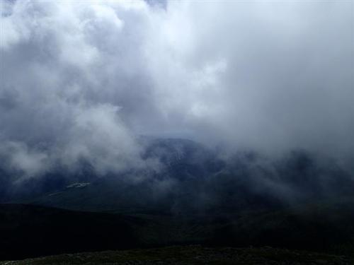
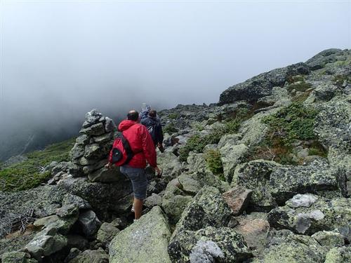
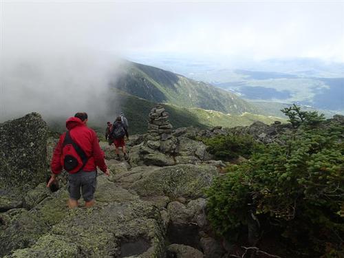
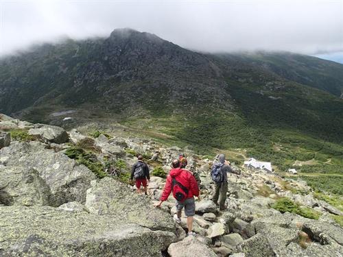
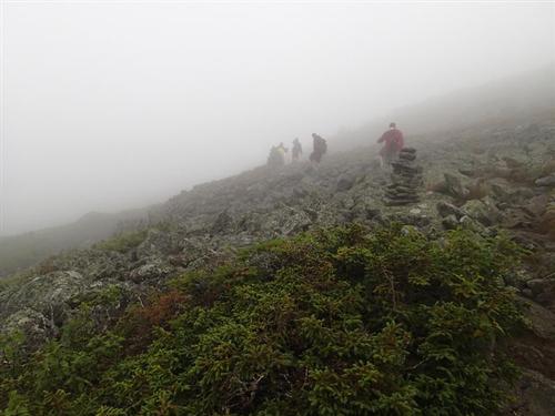
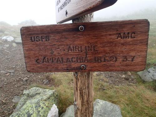
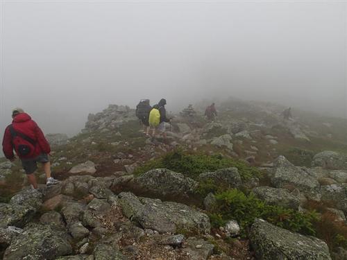
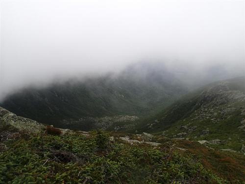
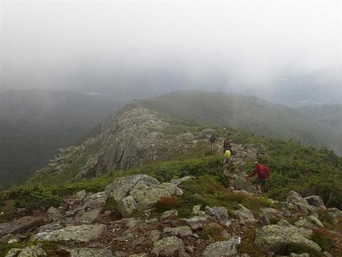
We rock-hopped and descended down the Airline Trail into the clouds. We found ourselves in a full HAILSTORM with the 40 mph pelting wind. OUCH! We continued our descent on the knife-edge like Durand Ridge with the clouds periodically blown away providing us outstanding views down into and across King Ravine. We ambled down the open ledges among wild, jutting rock formations and eventually got back into the forest. We took off our wind/rain shells and as we descended began to enjoy once again, some sunshine.
We finished a bit before 6PM and most of us met at Mt. Pizza for some well deserved beers and dinner. They had a outside deck next to the Androscoggin River so it was a great way to celebrate our adventure. Overall, this will be an adventure that all of us will remember for a very long time!
Event photos (61)
Reactions
Log in to react to this trip report.
About this event
This is a big hike, but should be a fun one. There will be plenty of time above treeline and no shortage of views! Adams and Madison are part of the northern Presidential Range ~ and among the tallest peaks in the northeast [#2 and #5 respectively].
Stats
Difficulty: Very Strenuous
Distance: 9.6 miles
Elevation Gain: 5,244 feet
Time: 8-10 hours
Itinerary
Start: Appalachia Traihead [Route 2]
Valley Way
Watson Path
Mt. Madison Summit [5,366 ft.]
Osgood Trail
Star Lake Trail
Mt. Adams Summit [5,799 ft.]
Air Line
End Appalachia Trailhead
The journey to the summit of Mt. Madison is long and steep with roughly 4,000 of elevation gain in the 4 miles it takes to get there. The open, rocky crest of Madison combines nearby views of Mt. Washington and Adams, the Great Gulf and the Carter Range. We'll descend to Madison Spring Hut to refill our water bottles. Mt. Adams may seem pretty close, but it's another 1,000 foot climb in just one mile. We'll take the steep, rugged Star Lake Trail to the summit of Mt. Adams that is very steep and rocky, with large boulders and some ledge scramblng in the upper section. This is not a dog friendly hike. We'll hike by Star Lake that is a beautiful mountain pond sprinkled with lichen-dotted rocks. Many hikers have long considered Mount Adams to possess the grandest view of all the White Mountain 4,000 footers! We'll descend using Air Line that provides maximum views with our traverse of the exposed Knife Edge on upper Durand Ridge; the lookout into King Ravine is especially dramatic.
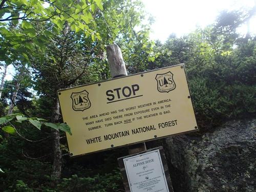
Due to the high elevation and level of exposure, we'll have to be particularly mindful of the weather forecast and adjust our plans if necessary.
Stuff To Bring:
- Non-cotton clothing [synthetics/wool]
- Layers
- Rain Gear
- Proper footwear [hiking shoes/boots]
- At least 2 liters of water [we'll get more water at the Hut]
- Sunscreen/Sunglasses
- Lunch/snacks
After The Hike: We'll drive into Gorham, NH and have dinner at Mr. Pizza. Bring a change of clothing.
Lodging Option: Bunk beds are available at our house near Waterville Valley, NH for Friday and/or Saturday night at $20 per night. Coffee/bagels each morning and linen/blankets/towels are provided. We have limited space in the fridge to store your beverages/food so it's best to bring a small cooler. Space is limited so email ASAP to reserve a bunk!


Comments
No comments yet.
Log in to join the conversation.