
Mts. Jefferson and Clay Hike
A super naturalistic expeditionosis fogdelicious rainbow rockhopping high!
The trip report
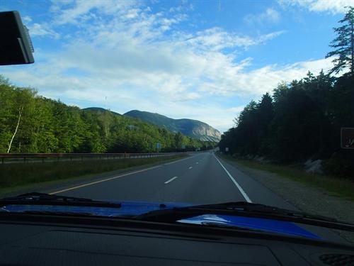
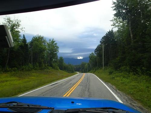
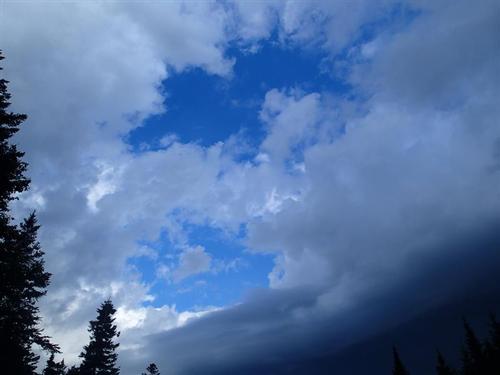
Because of the severe thunderstorms, damaging winds and heavy rain forecasted in the afternoon due to an approaching cold front we opted to take the shortest route to Mt. Jefferson, the third highest NH four thousand footer. As we drove up the Cog Railway Base Road Mt. Washington was hidden by these dark clouds. We didn't have a good feeling but continued to drive up to the highest trailhead on a public road in the White Mountains.
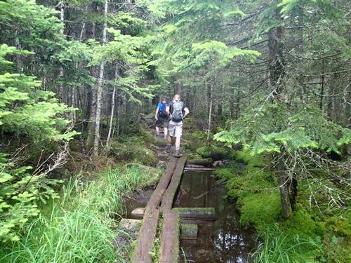
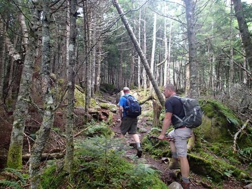
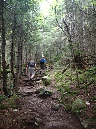
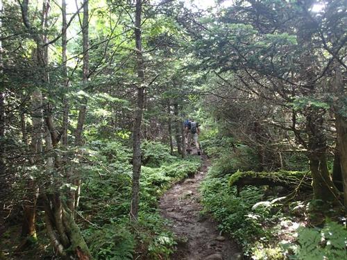
We stuck with our early start of 8AM as we met Stephen. To our surprise the sun came out! We began hiking through green spruce/fir woods listening to the sounds of the White Throated Sparrow, "Old Sam Peabody."
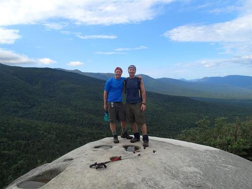
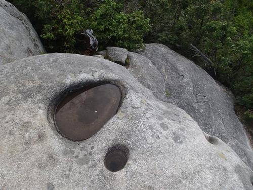
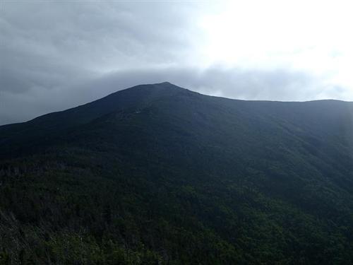
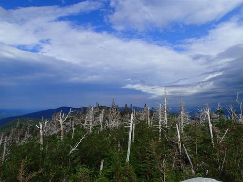
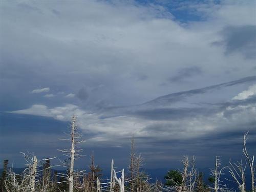
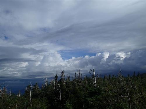
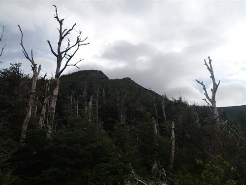
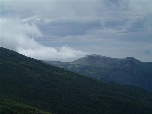
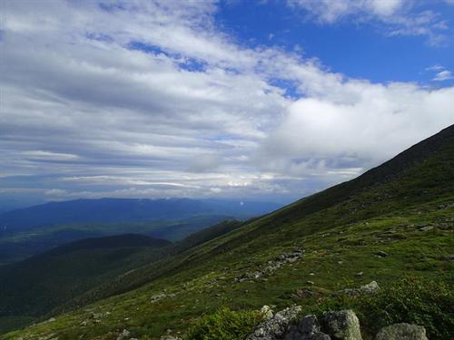
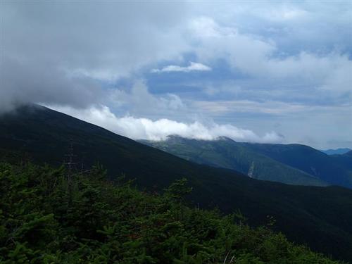
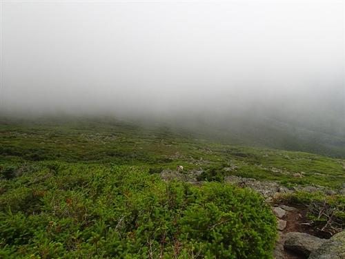
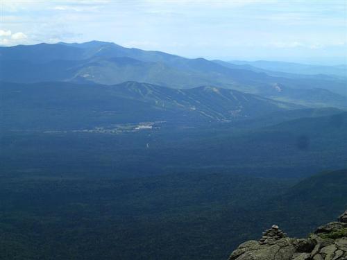
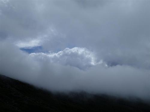
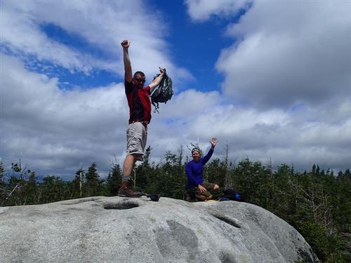
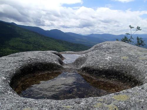
About 1 mile into the hike we hopped on a large, whitish granite ledge that had potholes scoured by glacial meltwater. We saw how the wind pushing up the mountain pulled in the warm air condensation and formed clouds rolling over Mt. Clay. We could make out the Caps that we were going to climb shortly.
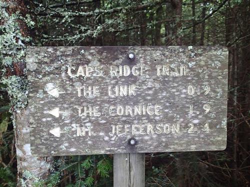
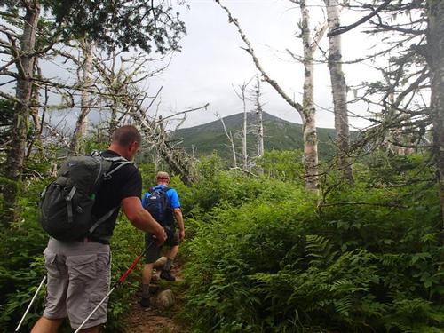
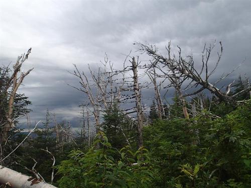
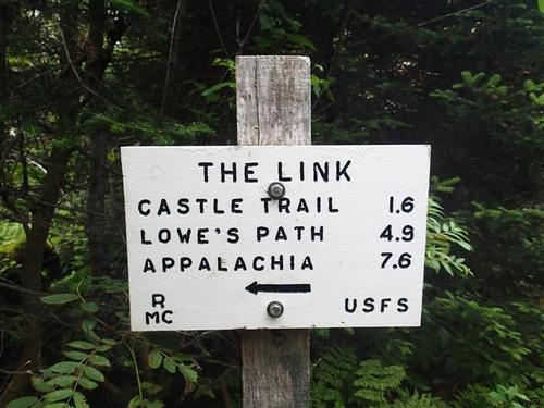
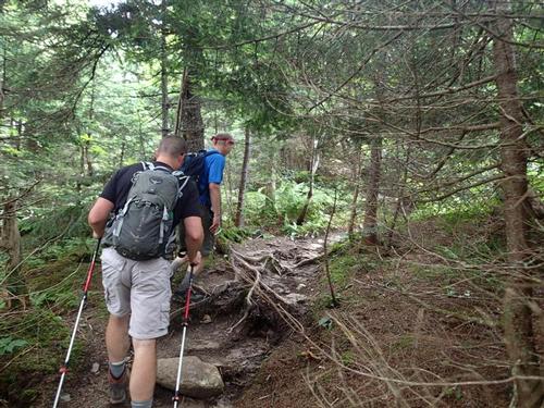
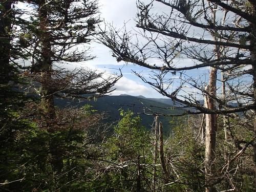
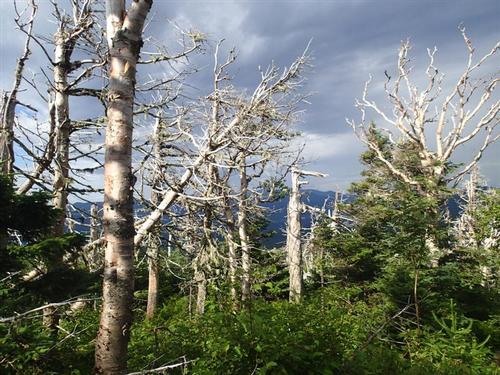
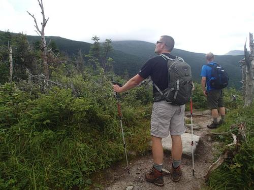
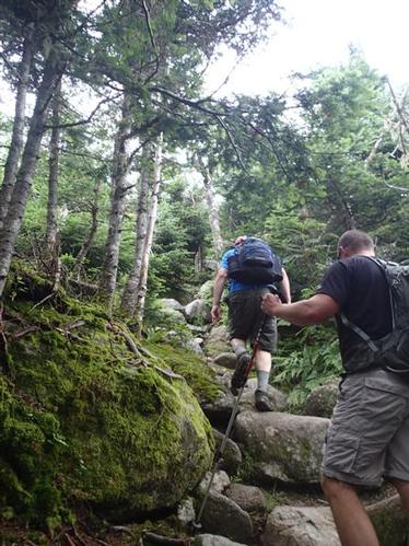
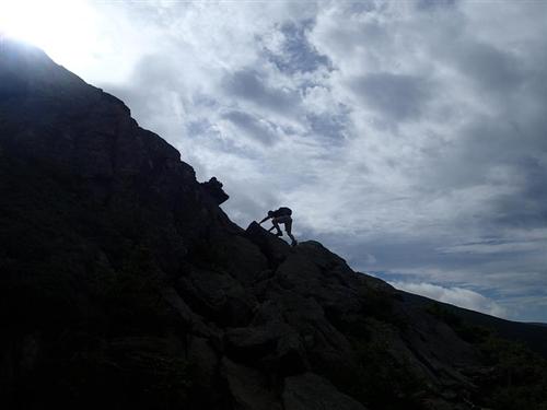
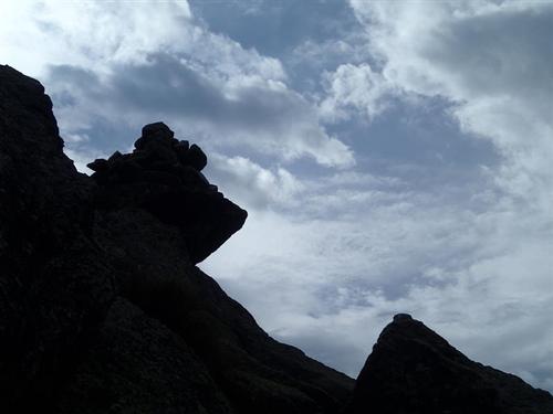
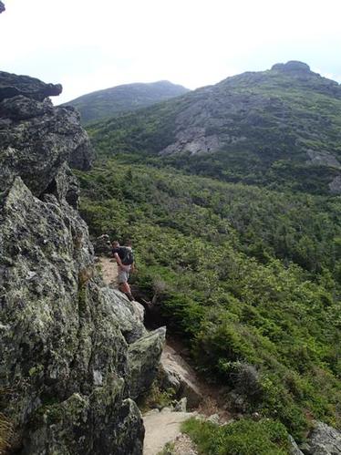
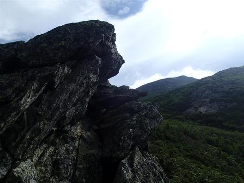
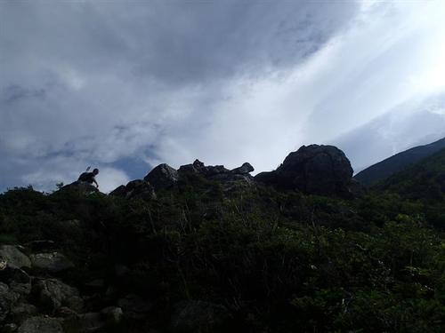
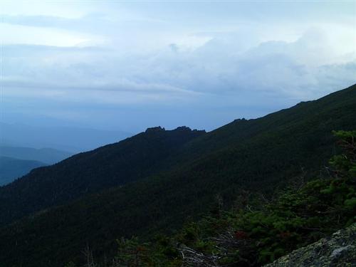
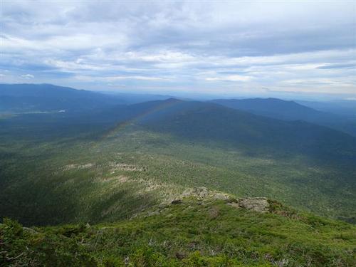
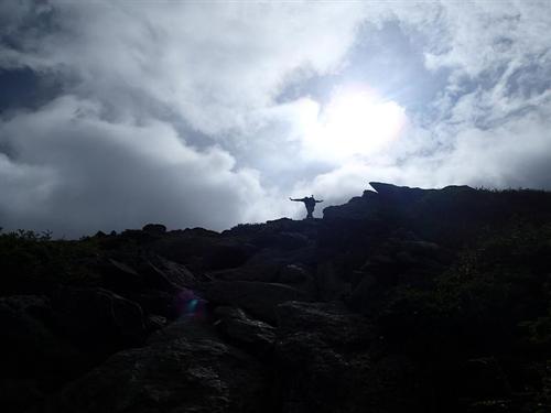
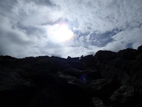
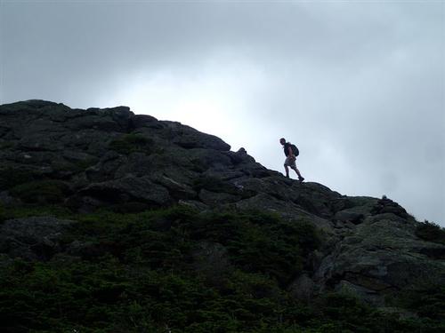
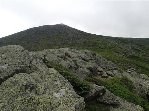
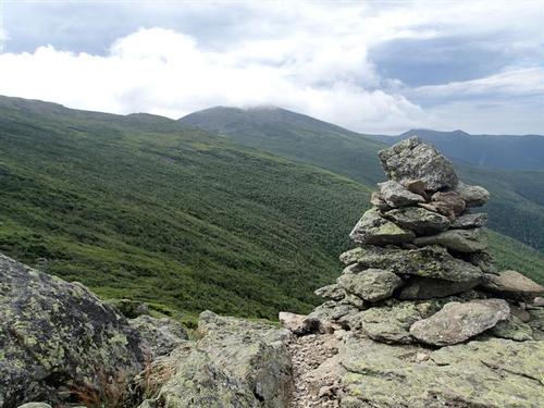
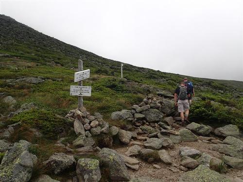
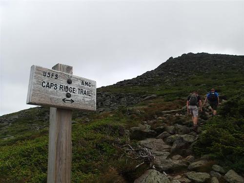
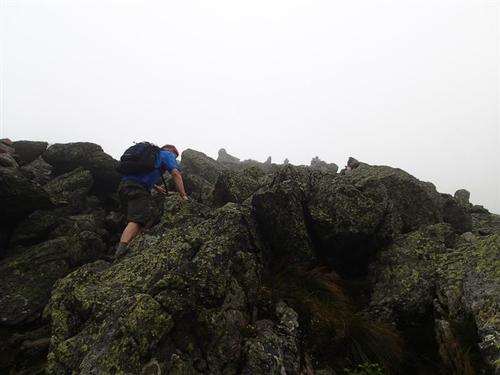
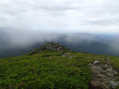
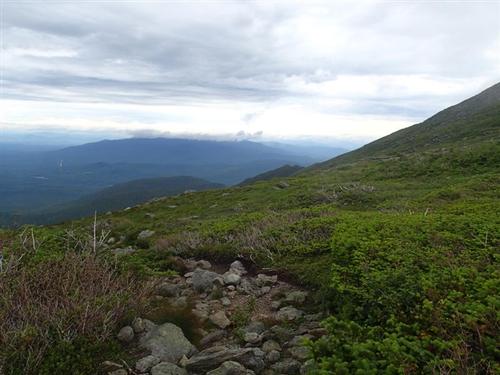
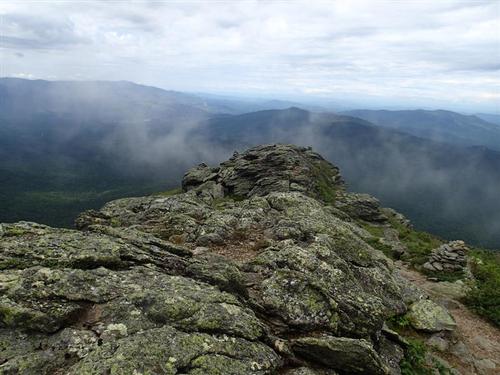
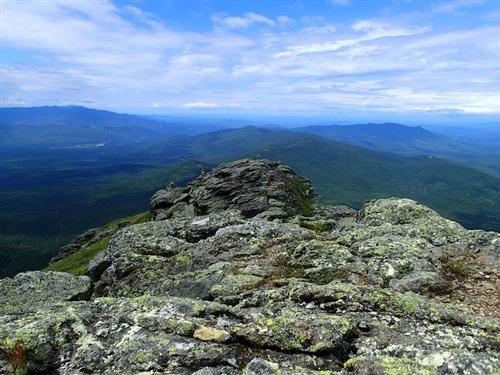
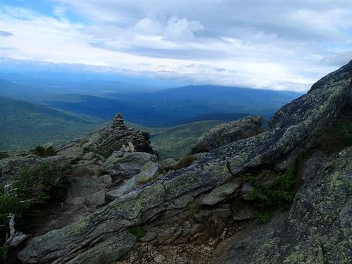
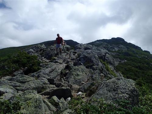
After seeing the "The Link" trail junction the trail became very steep, rocky and rough through scrub up to treeline. It began to sprinkle and as Jon looked back, caught a picture of a rainbow over the whitish granite ledge that we were on a few minutes earlier. Steep ledge scrambling led us up to the first Cap and as the ridge becomes a saw-toothed edge, climbed up to the second Cap, with ever-expanding views. When we reached the last and third Cap, we took a break looking at the bouldery summit of Mt. Jefferson only .4 miles away.
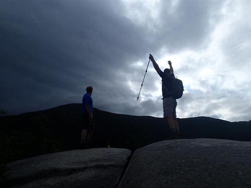
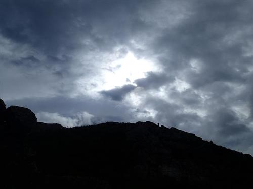
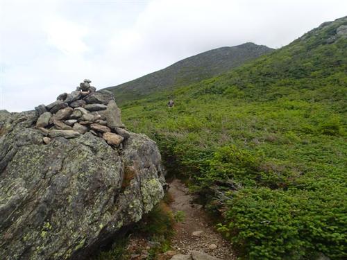
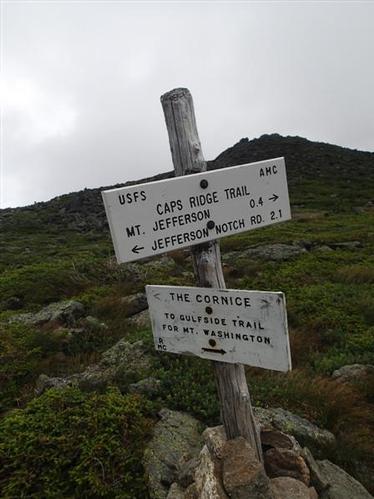
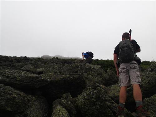
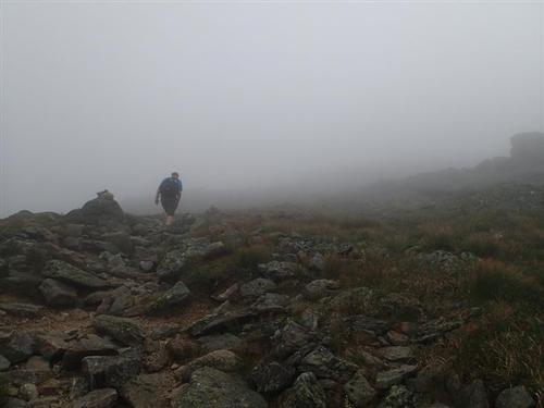
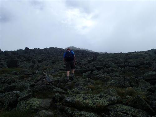
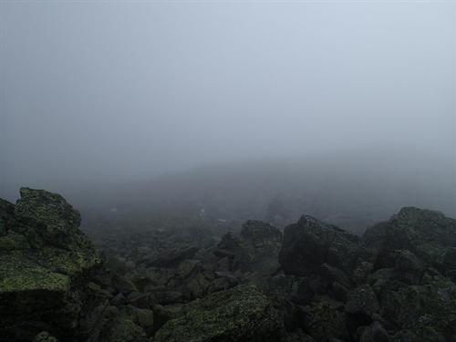
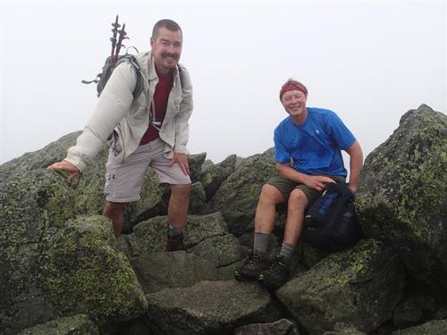
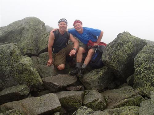
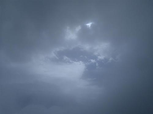
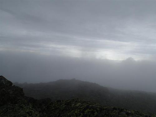
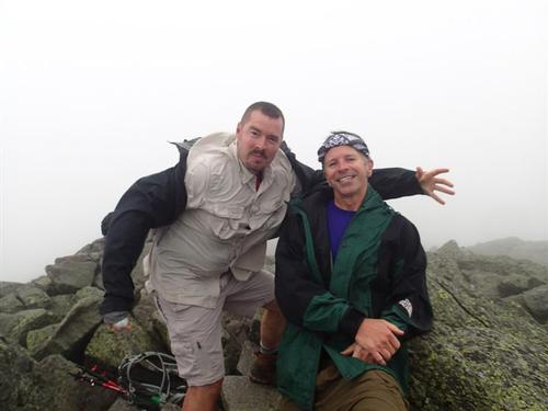
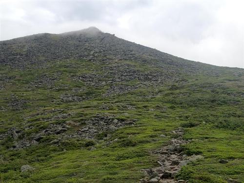
After passing the Cornice Trail, the summit became enclosed in the fog with increasing winds. We slogged along steadily up the summit cone over piles of broken rock following cairns and yellow blazes carefully due to the poor visibility. After passing the false summit, the final push led up to the actual summit of 5,712' at 10:15AM. The wind was probably 20-30mph so we put on our wind shell.
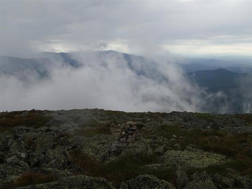
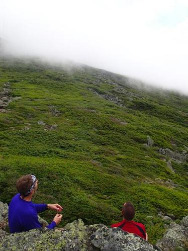
On a clear day, it's impossible to get this summit to yourself. Today, we had it to ourselves for as long as we wanted it since we saw nobody else behind or around us. Periodically the fog curtain would open and we caught a quick glimpse of the valley. We were originally going to continue to Mt. Clay but with the current conditions and given the forecast, we decided not to push our luck and return the way we came up. Our new plan was to have lunch back at the parking lot and some cold beer we had in our cooler.
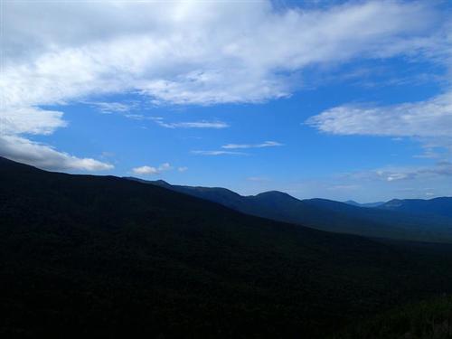
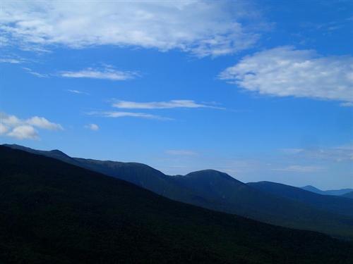
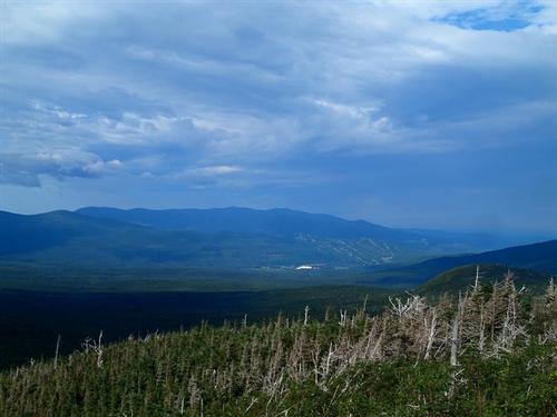
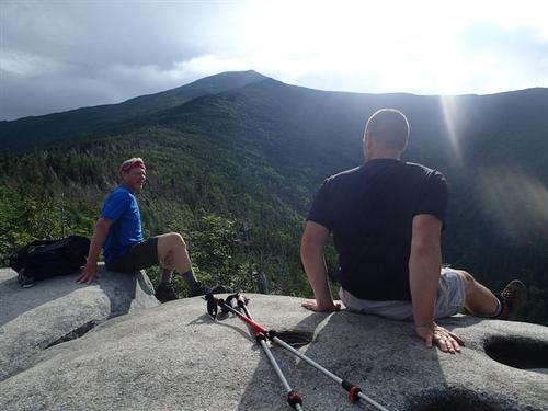
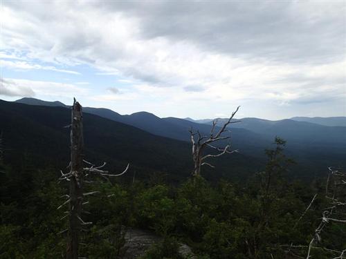
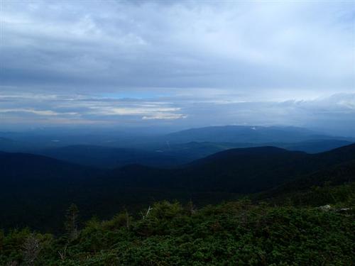
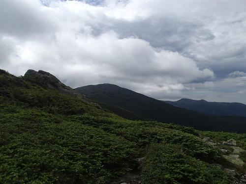
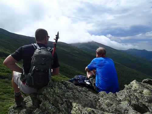
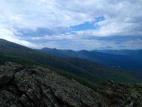
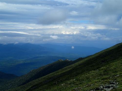
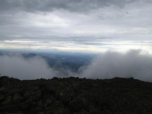
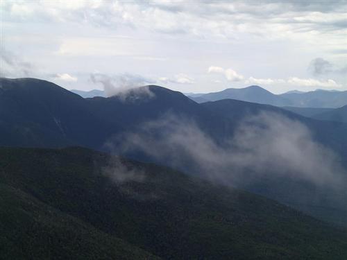
As we descended, we got more sprinkles but once we reached the third Cap it stopped. We knew any danger was behind us. We took off our wind shells and took a long break enjoying the clouds forming over the mountains. Mt. Clay was periodically in the clear so we thought perhaps we could have hiked to it after all; however looking back as to how the conditions were when were on the summit of Mt. Jefferson, we made the right decision.
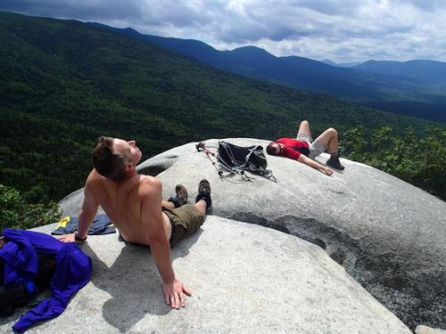
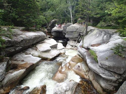
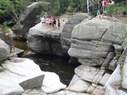
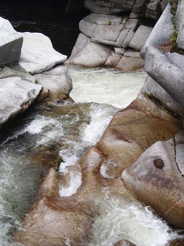
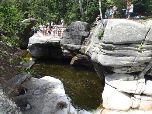
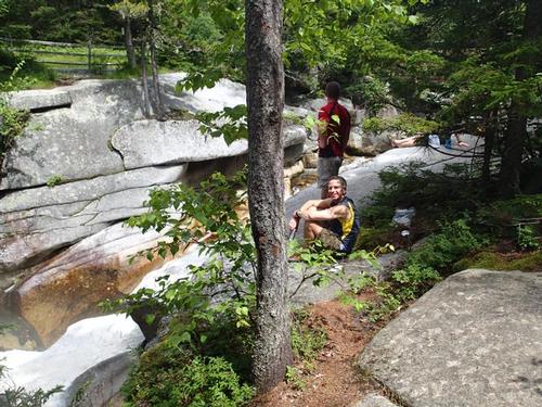
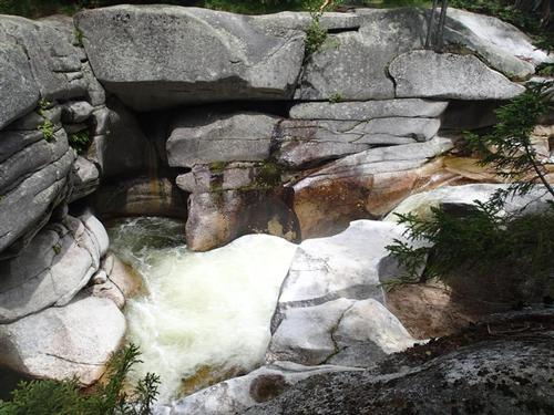
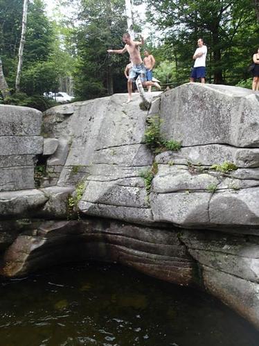
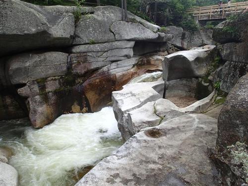
As we made our way down the Caps we encountered about six people in all going up; a remarkable difference compared to a beautiful day where one could see as many as 50! The sun really came out once we reached the whitish granite ledge so we took another extended break enjoying the warmth and view. It was amazing how much cooler it was further up! Once we reached the car we decided to drive over the popular Ammonoosuc Brook swimming hole for lunch and beer while watching people jump off the ledges into the water.
Shortening our trip allowed us to take in the time to soak in the sunshine, views and lunch at the one of the most beautiful swimming holes in the White Mountains. Thanks Stephen for joining us!
Event photos (103)
Reactions
Log in to react to this trip report.
About this event
Mt. Jefferson at 5,716 ft is an enjoyable hike if the weather cooperates. I particularly enjoy Monticello Lawn as it slopes away into the Great Gulf and Jefferson Ravine. The views across the Great Gulf Wilderness to the Carter Range are especially beautiful.
Distance: 11.2 round trip
Elevation Gain; 3,216 ft.
Estimated Time: 8-10 hours
We will meet in front of the Cog Railway Visitor's Center [Marshfield Station] and take the Jewell Trail to the Gulfside Trail, a distance of 3.7 miles. Jewell reaches treeline in about 3 miles and from then on we will be fully exposed to the prevailing westerly winds. Once we reach the Gulfside trail we will first head to Mt. Clay for lunch [much quieter] and then continue towards Jefferson with its numerous false summits before reaching the main summit.
Travel above treeline offers unique challenges to any hiker. Please have the appropriate gear/clothing to travel above treeline [rain shell] and the appropriate amount of layers to keep your core body warm.
Book time is approximately 8-10 hours round trip if the conditions are good. One caveat, visibility has to be good! Hiking in zero or low visibility on the ridge to Jefferson is not wise, especially given that the cairns are not very large. Jewell is realistically our only escape route if the weather changes drastically, so if the conditions worsen to where our visibility becomes an issue, we will cancel the hike and we will head down immediately!!
This hike is contingent upon the weather. Wind speed and visibility are the two main variables that can cancel this hike; besides rain.
After The Hike: We'll have a BBQ back on our deck at the house in Waterville Valley. It's BYOB and about $5 per person for food costs. Bring a change of clothes. We have lots of towels and everyone can take showers to clean up.
Lodging Option: We have 8 bunks available with linen for Friday and/or Saturday night at my house in Waterville Valley for $20. You can use the kitchen facilities and store beverages/food in the fridge. I serve coffee in the morning and a continental breakfast. Contact us to RSVP. SPACE IS LIMITED TO EIGHT GUYS.
Who came along (1)
 SUSTAINING
Comments
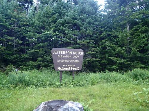
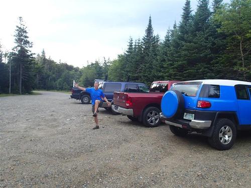
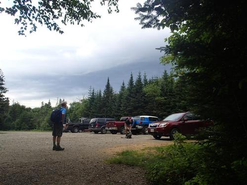
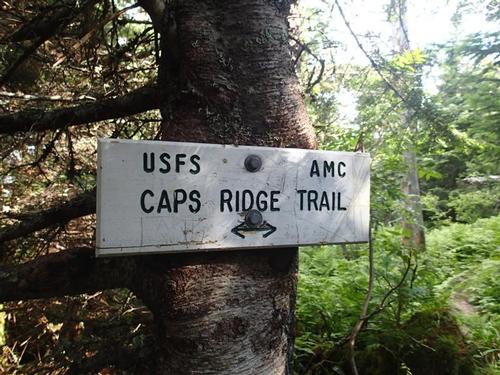
To reach Jefferson Notch, turn off US 302 at Fabyan and follow the Base Road toward the cog railway's base station. Drive about 5 miles to an intersection. Turn left there onto the Jefferson Notch Road [gravel]. Careful driving takes you about 3 miles up to 3,008 feet. You are at the height-of-land where the Caps Ridge trailhead is the highest trailhead in the White Mountains. Park in the parking areas on the right or left.
Log in to join the conversation.