
The trip report
No write-up was added for this event.
Event photos (47)
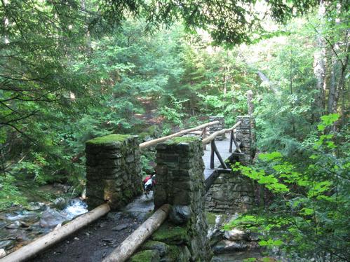
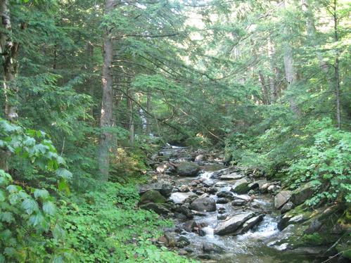
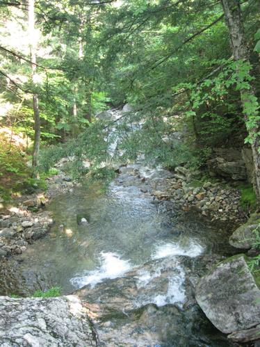
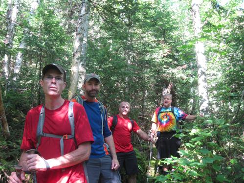
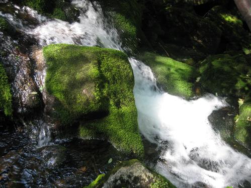
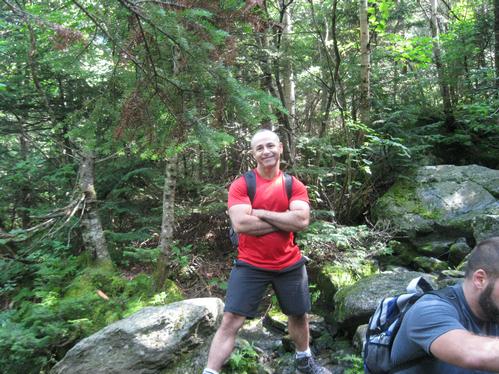
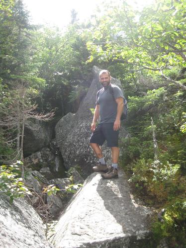
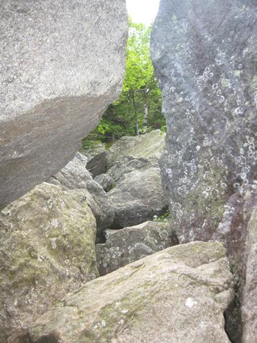
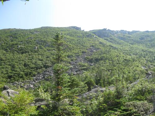
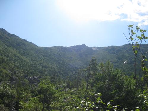
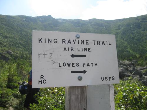
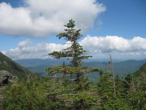
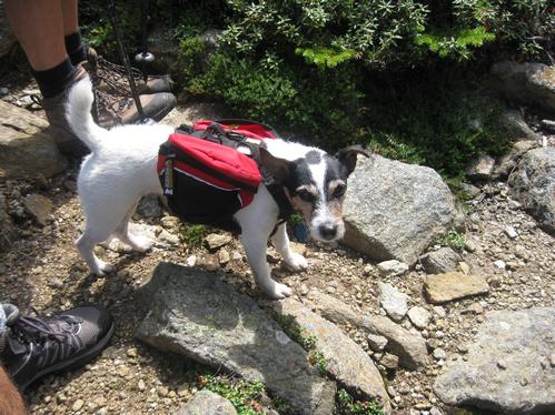
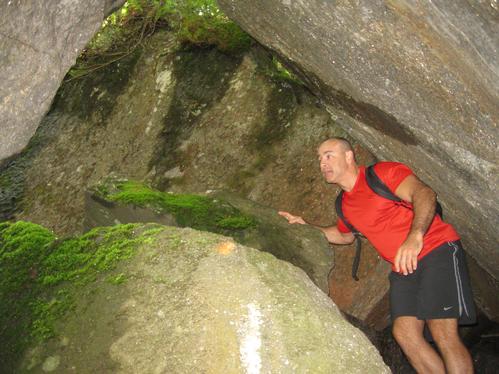
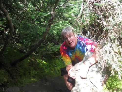
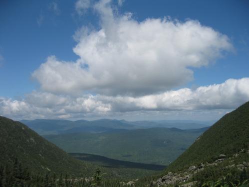
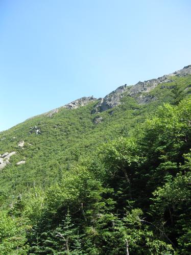
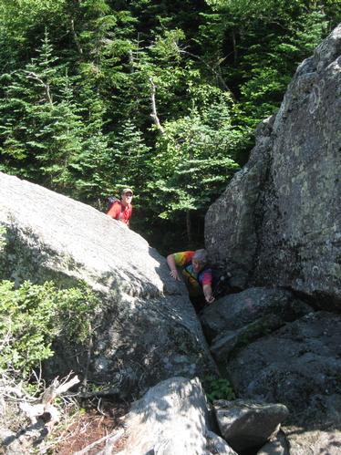
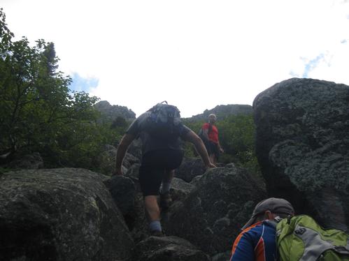
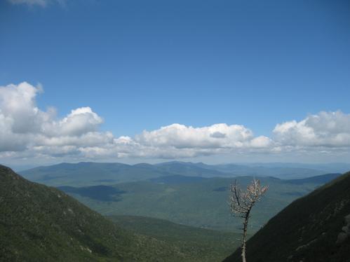
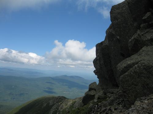
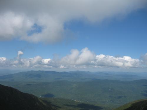
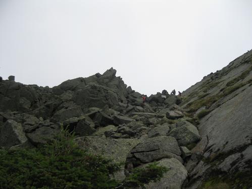
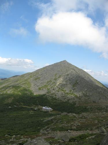
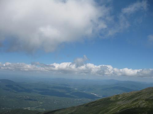
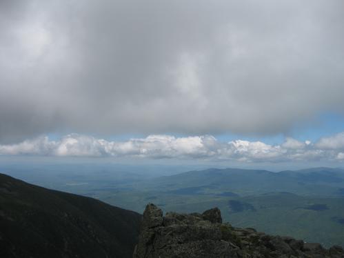
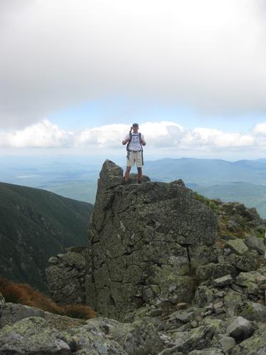
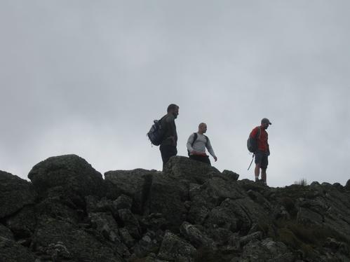
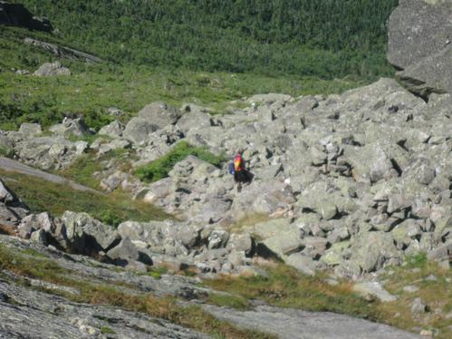
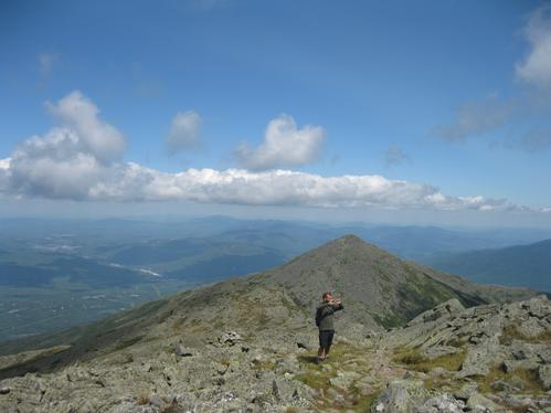
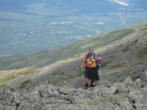
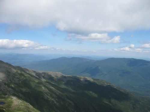
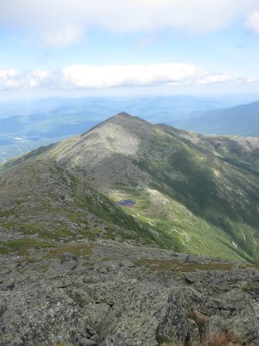
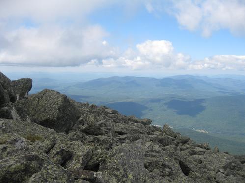
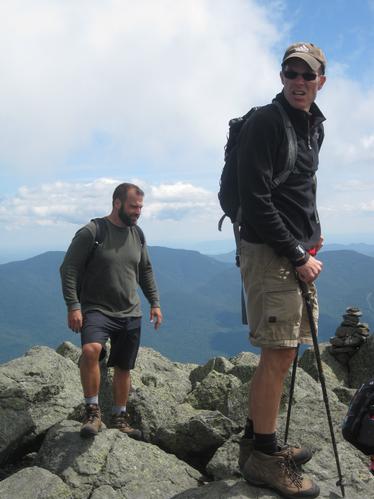
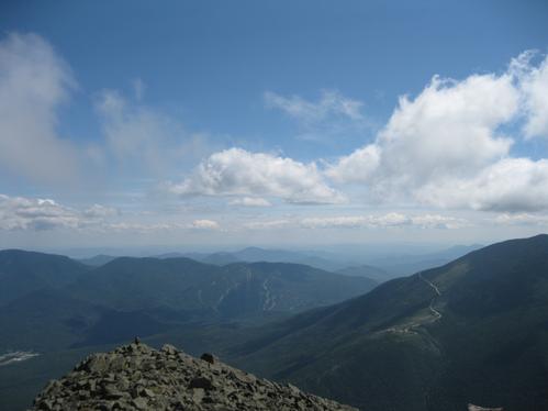
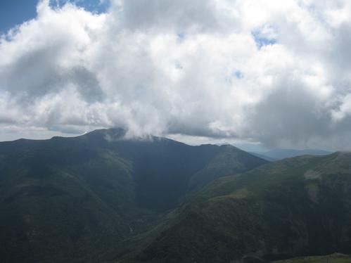
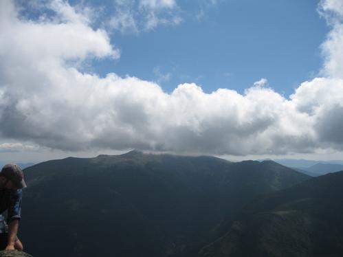
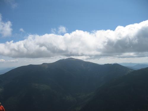
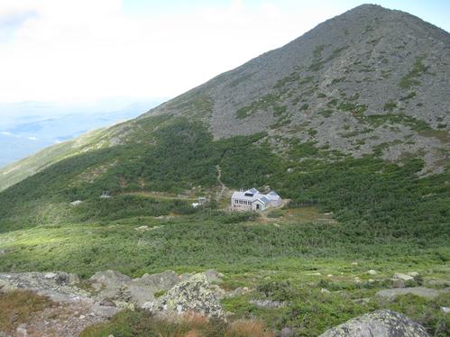
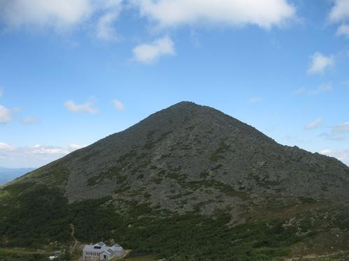
Reactions
Log in to react to this trip report.
About this event
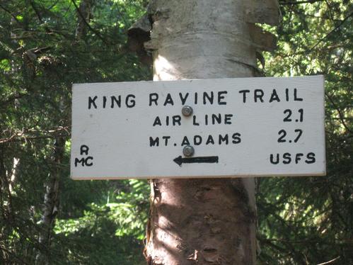
We'll start out on Lowe’s Path and followed its moderate grade for 1.8 miles to the junction of the King Ravine Trail. We will follow the path called "Subway" (it winds through and over boulder caves). At some spots you may have to jump from one boulder to another and in other spots you will have to go through narrow "caves" that were formed by the boulders. You may have to take off your pack and pass it through separately because the passageways are so tight.
We'll also check out the Polar Ice Caves. This route loops around and then shortly rejoins the main part of King Ravine Trail. It is said that ice exists in this section year round.
After this the steep headwall ascent begins. It rises about 1100 feet in 0.5 mile.
At the top of the headwall is where the King Ravine Trail ends and meets up with a bunch of other trails. We will follow the Air Line up to the summit of Mt. Adams. We will return to the parking area via Lowe’s Path.
Rain cancels.
| Mountains: | Mt. Adams (5799'), Adams 4 (5355') | |
| Trails: | Lowe's Path, King Ravine Trail, Air Line | |
| Region: | NH - Central East White Mountain National Forest, Presidentials |
|
| Location: | Randolph, NH | |
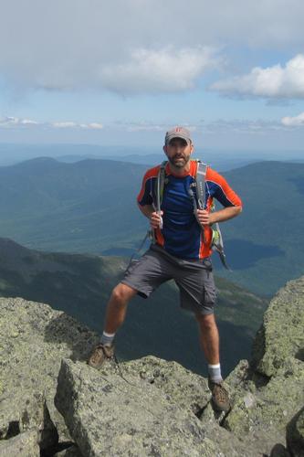
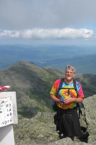
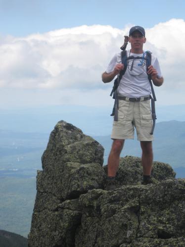
| Features: | Summits, views, boulder caves, ice caves, 4000-footer, alpine zone | |
| Distance: | 10.2 miles | |
| Elevation Gain: | 4600 feet (cumulative) |
Comments
No comments yet.
Log in to join the conversation.