
Moosilauke and South Peak Loop Hike
A great start to the summer hiking season!
The trip report
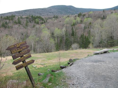
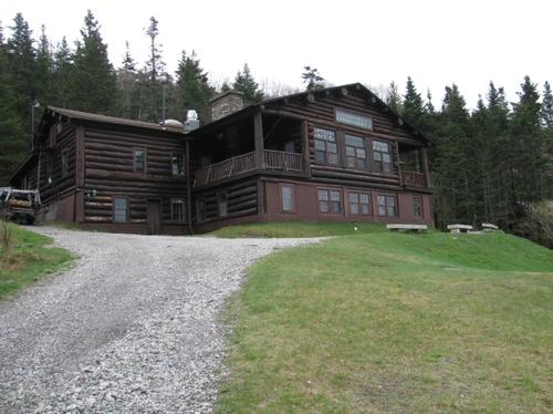
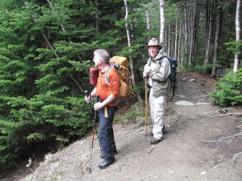
After re-scheduling this hike to Sunday, May 12th due to rain, three of us met up at the Dartmouth Ravine Lodge in Warren, NH...we were Woody, Rick and myself. It was a mostly overcast morning with periodic breaks in the clouds and it was on the chilly side. We all had arrived at the trailhead right on time and after a short period of getting ready we headed out just minutes past 9AM.
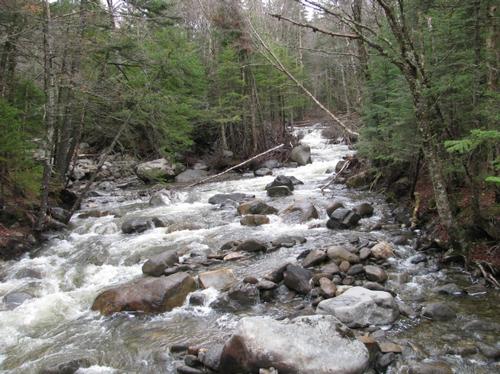
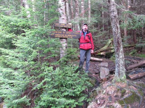
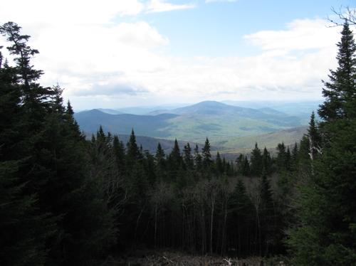
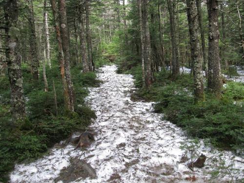
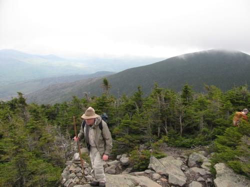
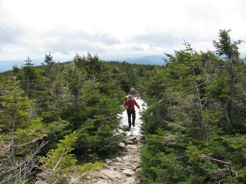
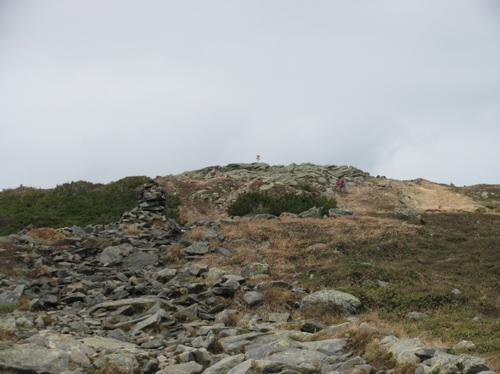
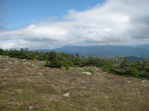
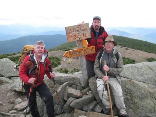
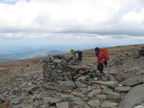
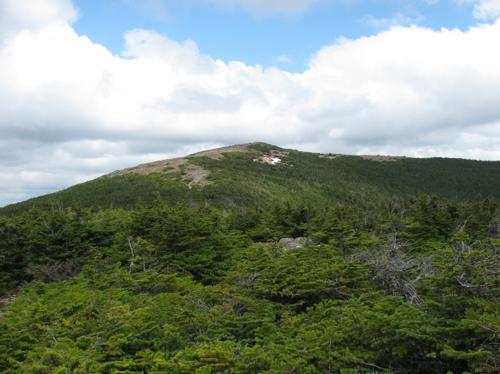
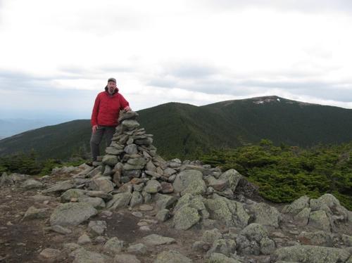
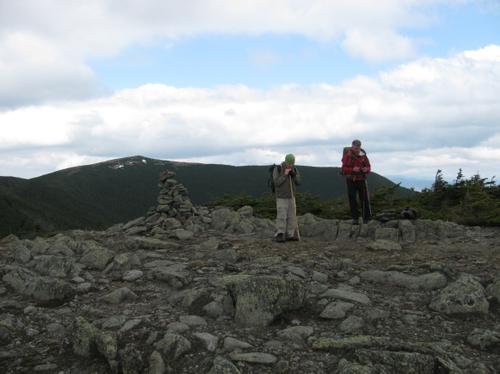
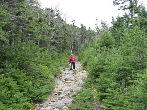
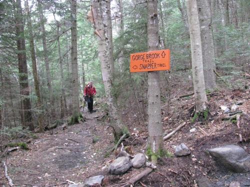
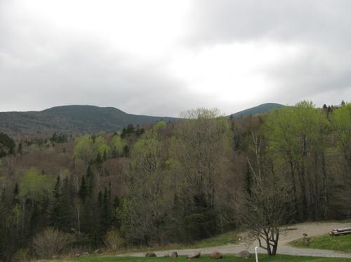
We headed down to the trails, which began just below the lodge. After crossing the brook there were a number of trail junctions...we stayed on course for the Gorge Brook Trail, which had been re-routed in one spot. It was no surprise after the previous day's rain, that in parts the trail was pretty muddy. The trail proceeded mostly at a modest grade and it made for a good pace with plenty of time to catch up with Woody and Rick. Just prior to the Gorge Brook crossing, there was finally remnants of the monorail from winter...the elevation was just below the 3300 foot mark (there was a marker a little further up, where the last "sure water" could be obtained). At 11AM we reached the first significant view point off the trail. I believed it was an eastward view; however, these guys that reached us at the same time indicated it was a southward view. In any case, there were no prominent peaks and the map may not have included this view. We continued on and the snow was thicker on the trail with some snow still present in the woods as well. About a half an hour later we stopped for a longer break to snack a bit. Here there were views up to Franconia Notch and other peaks to the east. We pressed on and finally broke treeline at just before noon. From here it was a short distance to the summit. On the summit it was definitely more exposed with heavy wind and chill. Luckily a fog bank that had swept over the summit broke just as we approached the peak. There were breaks of sun and the cloud ceiling was high enough that there were wonderful views in all directions (In all the times that I've climbed Moosilauke, this was the first time I ever had any views at all off the summit!). We had a group picture taken and settled in out of the wind (in the ruined stonework, which made up some old lodge or structure) for lunch.
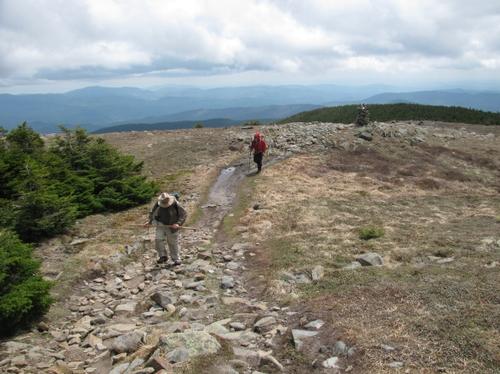
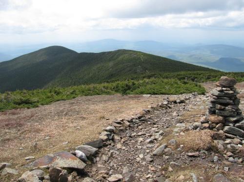
It was now 12:45PM when we decided to continue on towards South Peak. We headed south along the AT towards the other peak, and we made good time descending out of the wind and along the ridge. By 1:30PM we reached the trail junction for the spur trail up to South Peak. It's short (0.1 mile), but aggressive, reaching the summit in about 10 minutes. There were again beautiful views back towards Moosilauke and to the west. We stopped for another snack break here and then headed back to the trail junction, where we started down along the old Carriage Road. This had gotten quite eroded and was still snow covered over stretches of it. At 2:45PM we turned onto the Snapper Trail for our completion of the loop. We rejoined the Gorge Brook Trail by 3:20PM and from here it we re-traced our route back to the Ravine Lodge, which we reached again at 3:45PM.
We got packed up and headed over to the Woodstock Inn for drinks and dinner prior to calling it a day. On the way to the Inn, I stopped to pick up two hikers that we had run into on the summit...they were walking from the Ravine Lodge back to the Beaver Brook Trail (they had spent the weekend camping out). After delivering them Beaver Brook, I joined Woody and Rick at the Inn. We had a nice relaxing meal and by 5:30PM we broke up and headed home.
Thanks Rick and Woody for a great day out!
Event photos (22)
Reactions
Log in to react to this trip report.
About this event
Join me for this loop hike encompassing both of Moosilauke's peaks...North and and the less-visited South Peak. Our route will start and end at the Dartmouth Ravine Lodge and will utilize the Gorge Brook, AT, Carriage Road and Snapper trails. This loop is about 7.5 miles with an additional 0.4 miles for the South Peak spur trail. There is approximately 2450 feet in total elevation gain. The trail is modest in grade...probably one of the gentlest ascents on the mountain. This is due to its numerous switch-backs on the way up. There are views to the east on the way up along the trail cuminating with sweeping 365-degree views from both summits. This approach to the summit has the least amount of distance from treeline to summit. It should take approximately 6-7 hours, depending on lunch and other breaks.
Total Distance and Elevation: 7.9 miles with 2450 feet in elevation.
Rain or harsh weather will postpone until Sunday or another date, as appropriate.
What to Bring: Typical early spring hiking gear should be appropriate: convertible hiking pants, good sturdy hiking boots with thick socks, extra layer(s) and a windbreaker/raingear (just in case...the weather on the summit can be harsh). Also bring along lunch, snacks and plenty of water. Optionally, pack bug repellent and sunscreen and anything else that you may require for a day hike.
Afterwards: We should be completed with the hike by 4:00/5:00PM. If there is sufficient interest, we'll cap the day off with dinner/drinks at the Woodstock Inn.
Carpooling: Contact fellow participants or myself, if traveling from points south in NH.
Who came along (3)
 GUEST MEMBER
  SUSTAINING
  GUEST MEMBER
Comments
No comments yet.
Log in to join the conversation.