
Mt. Osceola/East Peak Hike
My finish to climbing all the 48 NH four thousand footers in winter!
The trip report
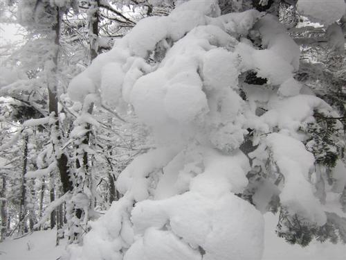
Mt. Osceola would finish my quest of climbing all of the 48 NH four thousand footers in winter! So good friends from GO joined us as we were able to hike the Osceola Mountains on a snowy winter day. Mt. Osceola is 4,340 feet and makes both the New England 4,000 footers list and the New England finest list with a prominence of 2,040 feet. The slightly shorter East Osceola, at 4,156 feet, is prominent enough to be included on the 4,000 footer lists. It's a great hike anytime of the year.
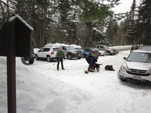
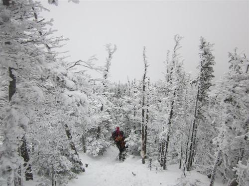
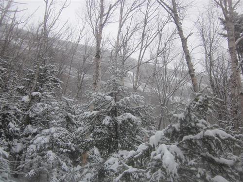
Have I ever mentioned how amazing it is to live in one of the greatest mountain ranges in North America? I simply can't get over it! Even winter couldn't keep me from getting excited about hiking the 4,000 footers in this season. We got to a full parking lot just before 10AM. The temperature was 31 degrees! That's warm in NH for this time of year. The trailhead is located just below the Kancamagus Highway which happens to be the highest highway in the Northeast.
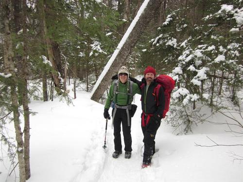
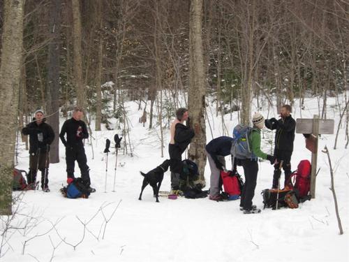
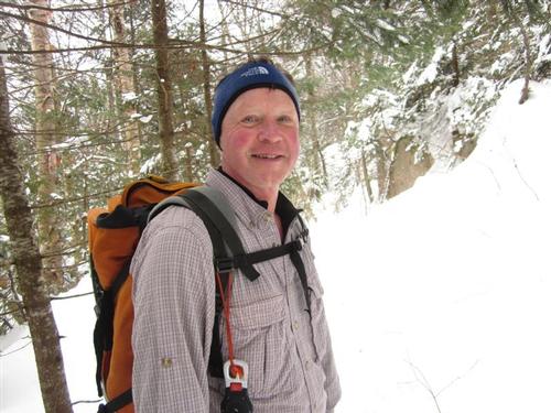
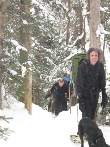
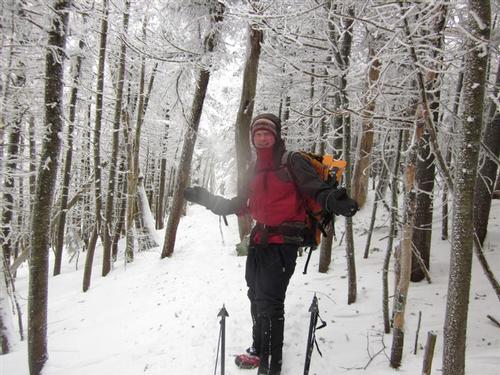
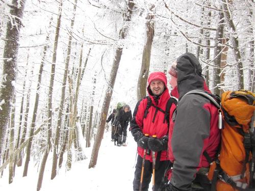
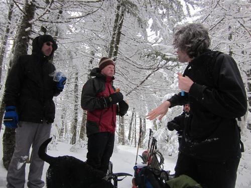
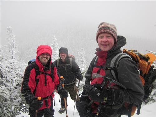
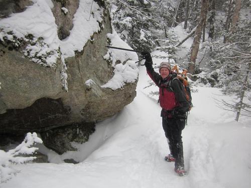
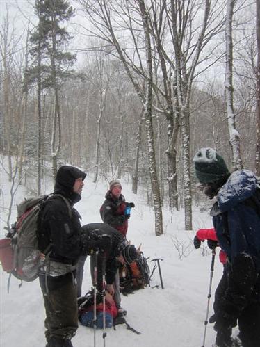
We were well layered. I was actually hot and sweating at times! No winter hike would be complete without the constant stops for layering on and off as the conditions change...
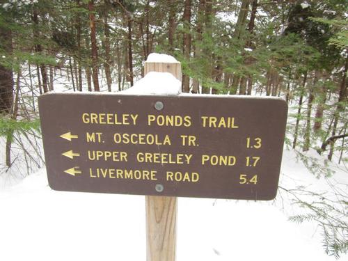
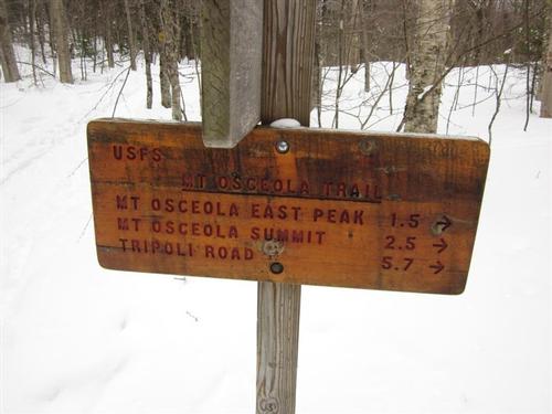
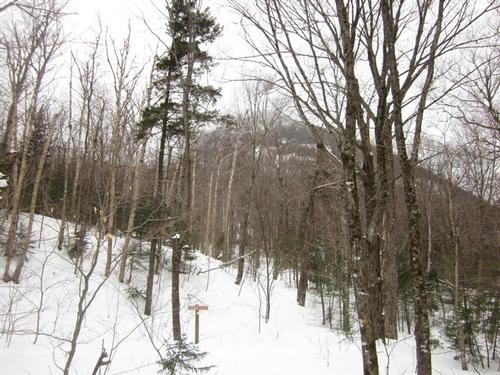
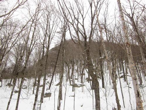
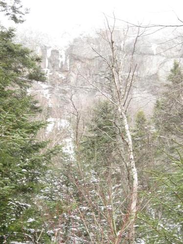
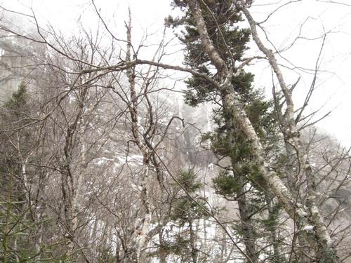
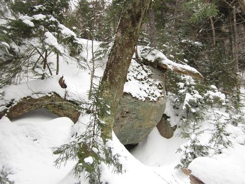
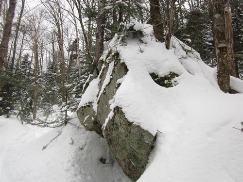
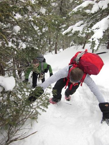
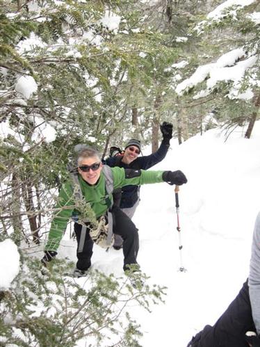
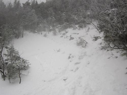
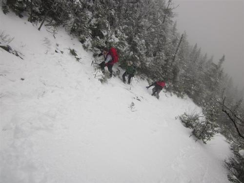
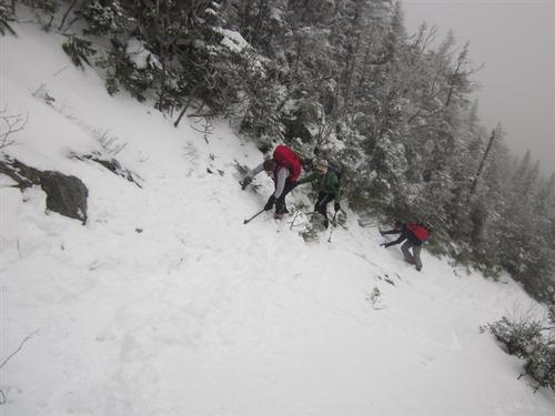
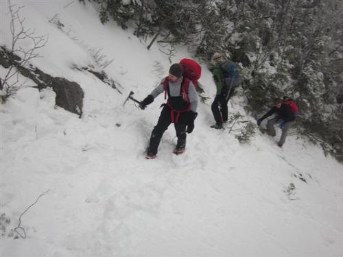
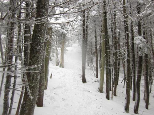
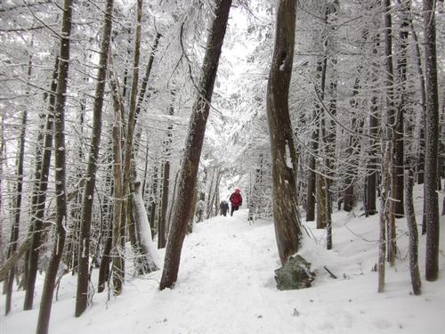
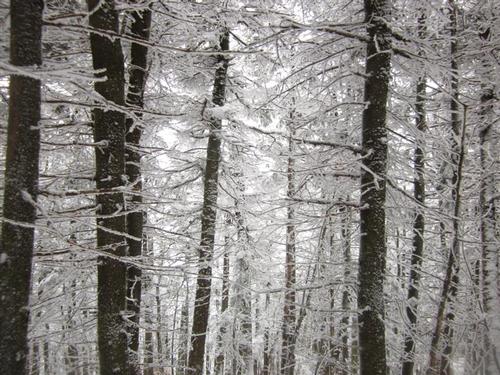
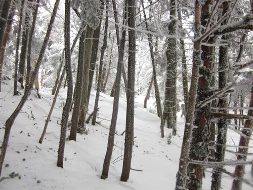
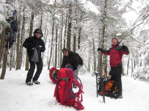
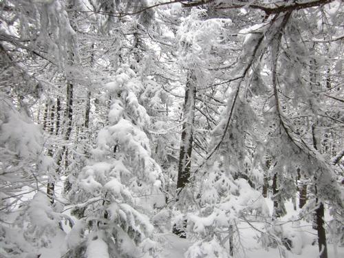
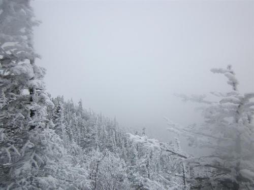
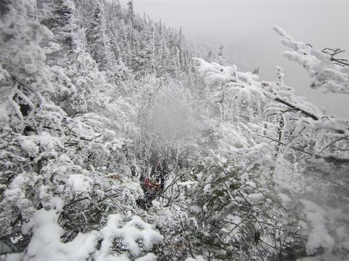
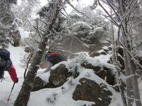
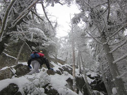
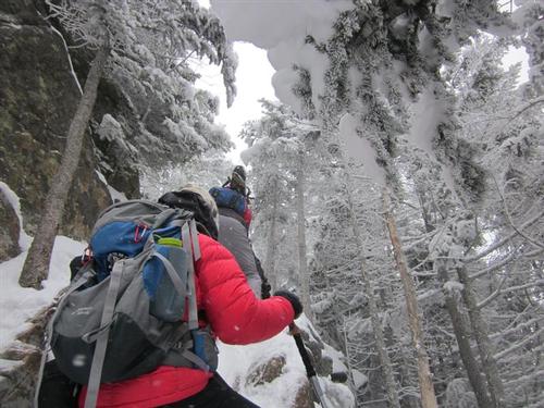
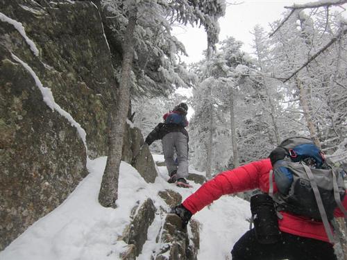
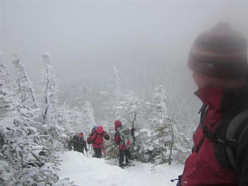
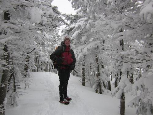
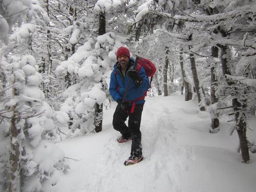
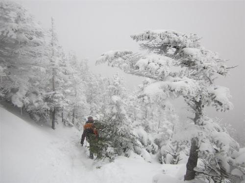
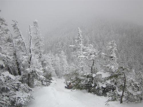
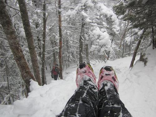
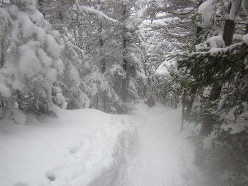
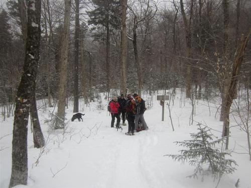
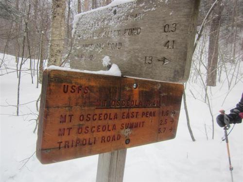
The trail was hard-packed. We all started out with microspikes except for James who opted for snowshoes. The first 1.3 miles are relatively flat until we got to the turnoff for the Mt. Osceola Trail. The trail then heads south up considerably steep sections to East Osceola. It's one of the more challenging sections of a winter 4000-footer. This was a workout! Some members switched to crampons during this steep section. After about 3 hours of hiking and taking pictures, we came to the little saddle on the south side of East Osceola. Here we noticed it began to snow and the wind started to pick up. From here, the East Peak is just another small climb. The summit is marked with a cairn popping above the snow. There isn't much of a view. The wind was calmer here so it was a nice place for lunch. James and his dog Bella decided to turn around at this point.
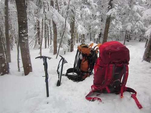
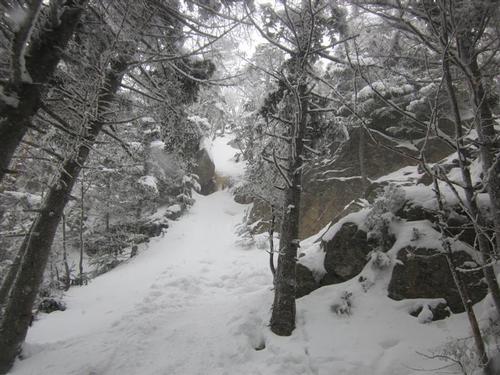
From East Osceola, Mt. Osceola is a 2 mile round trip with a steep descent to the col and then a steeper ascent up Mt. Osceola. There is one section called the chimney that is short, icy and very steep. Using traction and handholds we all shimmied up fine using the bypass. Jon and I brought our ice axes that was helpful. It's icy and long enough that a slip could result in injury. After the chimney it's just a short climb to the summit! A few minutes after this Mark turned around due to his concern for James. [Mark had promised James on East Osceola he would descend with him but then changed his mind to join us to Mt. Osceola. Since James was having equipment issues on the ascent and seen somewhat unprepared, Mark kept thinking about James on his way to Mt. Osceola.]
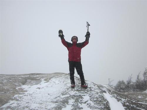
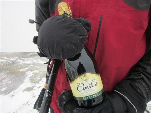
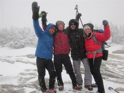
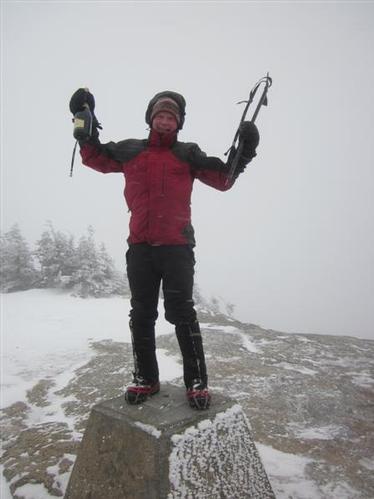
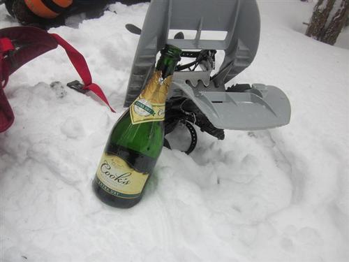
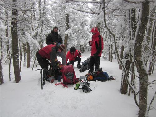
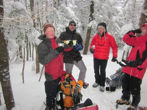
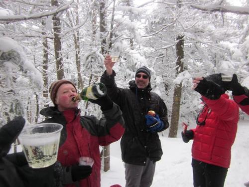
On the summit, the wind was really blowing and snow coming at us horizontally. We took some pictures and then went back down the trail away from the wind for some champagne. Jon carried my champagne bottle [tradition dictates one does not carry his own champagne bottle up his last 4,000 footer] so he popped it open and we had a toast. Thanks guys for being with me to celebrate this accomplishment!
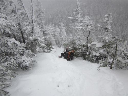
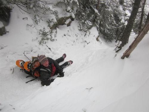
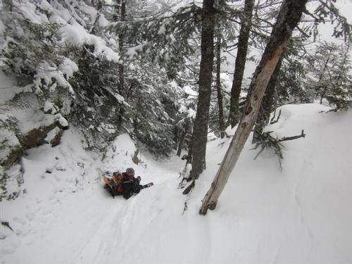
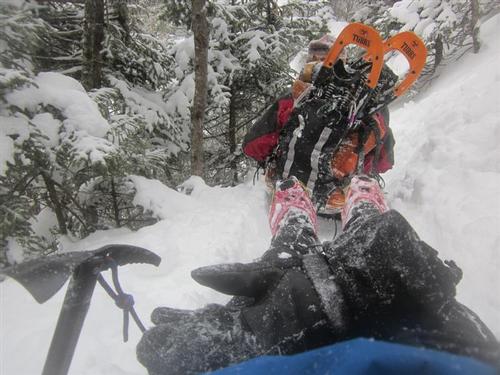
We carefully descended down the chimney, went back up East Peak and then went down the steep trail. Half the time we were in butt sliding heaven! Jon and I were happy we had our ice axes because it was very fast with many turns. We were back to the Greeley Ponds trail turnoff in no time. We arrived back at our cars around 4:45PM.
~ Mike Boisvert
Event photos (64)
Reactions
Log in to react to this trip report.
About this event
On this trip we will hike to East Osceolas (4,156' #34) and Mt Osceola (4340' #24) using the Greeley Pond trail off the Kancamagus Highway. Mount Osceola is among one the most climbed mountains in the Southern White Mountains. Though Mt. Osceola never reaches timberline, the two views from the summit are spectacular. East Peak on the other hand, does not have any views.
On any given clear, high visibility day you can see forty one of the of the other 4000's in New Hampshire from Mount Osceola and even faintly see Mt. Mansfield towards the west. We will be coming from the east and this climb can be very tough. At time the trail here can become Class 2 especially on part of the way up East Osceola and a section of the trail called the chimney between East Osceola and Mount Osceola. An ice axe is helpful but not necessary.
This is a moderate pace trip we will hike about 7.6 miles round trip with an elevation gain of 3232 ft. Book time is 5 hours 25 minutes not including breaks.
It could be cold and windy, it could snow, or it could be warm with blue skies. You will need warm layers, wind protection, traction, snowshoes among other things. Read my Winter Hiking 101 Article. If you don't know what to wear and/or bring with you or have any questions contact us. Do not rely on others to have extra items to share with you at the meeting spot or on the trail. You should know how to use all of your equipment - test and adjust it prior to this trip.
Dogs are permitted on this hike provided they are experienced "hikers", well-behaved, you bring a leash in case you need to use it, and you have a copy of their most recent rabies vaccination. Be sure to indicate in your RSVP if you will be bringing a dog.
This event is considered to be STRENUOUS because of the pace, distance, and elevation gain. We could alter our plans because of fatigue, weather, and/or other conditions and there is no guarantee that we will complete the entire event as described here (i.e. we might not reach the summit).
I did my research using the Appalachian Mountain Club's "White Mountain Guide", a trail map, and the Internet. You need to become self-reliant by becoming familiar with the route, terrain, and potential hazards since you are ultimately responsible for your own safety. >>Click Here For Current Trail Conditions
Weather
It is winter in the mountains - expect cold and windy conditions. Temperatures drop 3-5 degrees for every 1,000 feet of elevation gained. Dangerous weather conditions will cancel this hike - We will post an and/or send an email to all confirmed participants a day or two before this event. Mountain weather is subject to rapid changes and extreme conditions. We will assess travel and weather conditions during the hike and make changes to our planned trip as necessary. >>Click Here For Current Weather Forecast For This Trip
After The Hike: Everyone is welcome back at our house in Waterville Valley to socialize around the fireplace and enjoy a home cooked meal with dessert! It's BYOB and it costs $5 per person.
Lodging Option: Bunk beds are available at our house near Waterville Valley, NH for Friday and/or Saturday night for $20 per night. Coffee/bagels each morning and linen/blankets/towels are provided. We have limited space in the fridge to store your beverages/food so it's best to bring a small cooler. Space is limited so email me ASAP to reserve a bunk!
Who came along (2)
 SUSTAINING
Comments
Log in to join the conversation.