Detour Travel Gay Travel Tours
All trip reports Trip Report Moderate

Busby trail/hoosac range trail

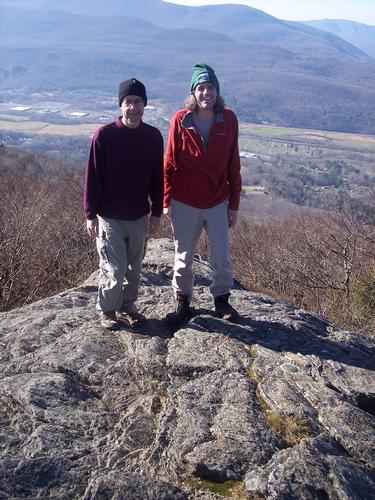
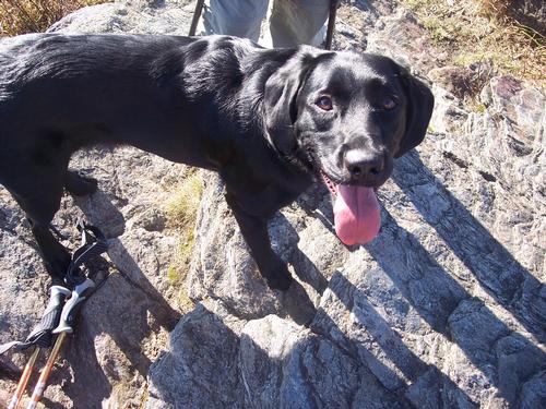
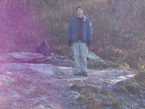
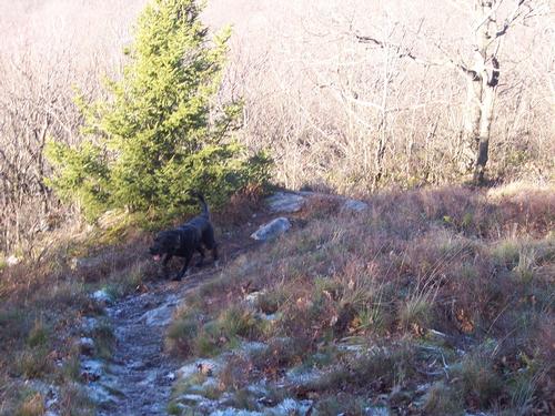
Me, Bella and Richard had a great hike.

Sunday, November 18, 2012
Savoy, MA
Moderate
Hosted by umocintegra

The trip report

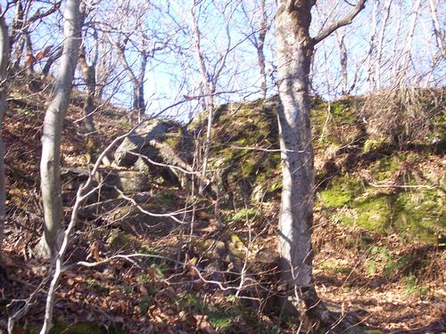
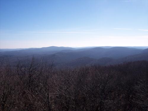
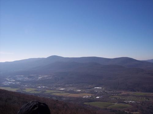
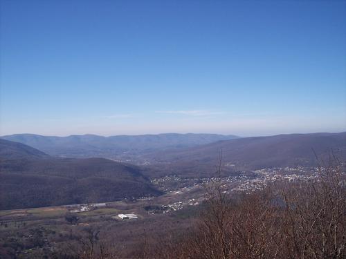
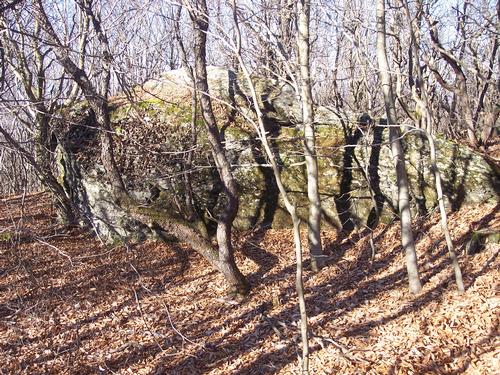
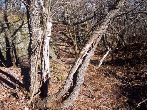
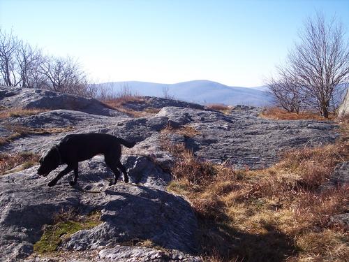
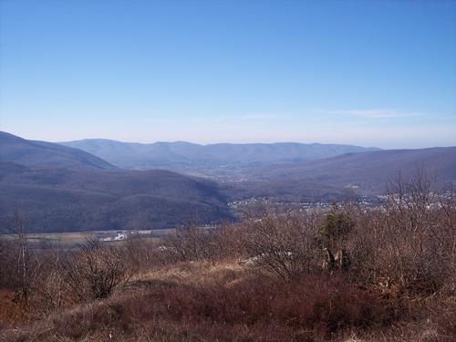
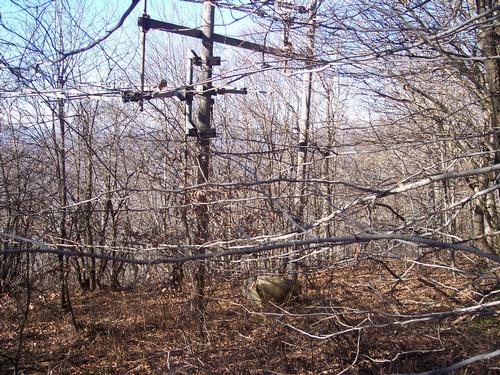
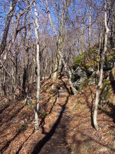
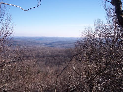
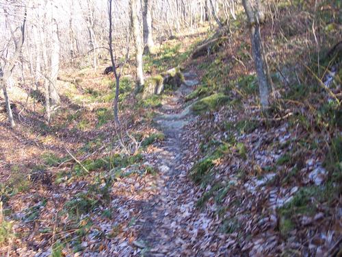
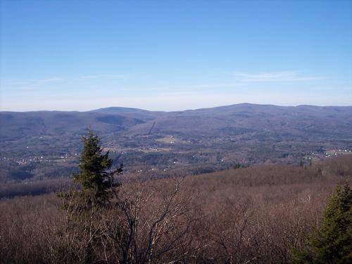
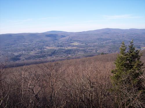
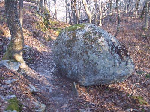
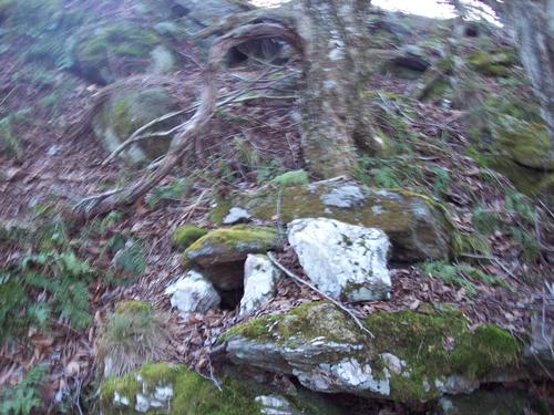
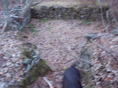
 Me Bella and Richard had a great hike.  The weahter was not to cold not to warm just right.  It was a clear day was we got great views from the four look-out points.  Along the way we saw two old stone foundations.  Part of the trail is a very old farm road.

Event photos (27)
Reactions

👍 ❤️ 🔥 😄 😮

Log in to react to this trip report.

About this event

Busby Trail to Spruce hill connecting to Hoosac Range Trail nice moderate 6 mile (about) hike.  It will take about four and half hours round trip.  We will start at Busby and connect onto Hoosac Range Trail and then loop back.

Savoy Mountain State Forest, 10,200 acres managed by the Massachusetts Department  of Conservation and Recreation, and located in the towns of Savoy, Florida, Adams and North Adams.Savoy Mountain has many miles of wooded trails offering  opportunities for year-round passive recreation. Much of this state forest was acquired by Massachusetts beginning in 1918, assembled from abandoned farmland. Many farming residents, tired of poor conditions, had moved into valley towns of Adams and North Adams to work in the woolen mills, or headed west for better farmland. The evidence of these farms remains with old orchards and stone fences and a cellar hole found along the Busby Trail. This hike begins gradually, following an old farm 

road. As you near the top the trail becomes more strenuous. Throughout, the hike is in shaded 
woodland with occasional breaks at the power  lines and at the summit - good places to see wildflowers in season. The summit of Spruce Hill is also a great spot to watch migrating hawks and other raptors as they head south in the fall. As you walk the Busby Trail there are no marked 
stops. Allow this guide to give you some things to think about as you hike and encounter things of 
interest.   
SPRUCE HILL (2,570 ft. elev.) /Hoosac Range Trail
Busby SPRUCE HILL, your destination, is a rocky prominence o SPRUCE HILL n the Hoosac Mountain Range  offering fine views of the Hoosac Valley below,  Adams, North Adams, Mount Greylock and Green Mountains. The name Hoosac, said to be a Native American Algonquian dialect, means  place of stones, which becomes evident as you climb higher. The Hoosacs, part of the greater Appalachian Mountain chain, are the transition between the Berkshire Hills plateau to the south and the Green Mountains of Vermont to the north. In the time before good roads, this range was notorious as a tough climb for those heading east and west. First on the Native American footpath, the Mohawk Trail, and later in the 1700s as settlement crept into the region. When you are on top consider that the Hoosac Tunnel is about 1,700 feet beneath you. This still active railroad tunnel took over 20 years to build, completed in 1875. Passing 4.75 miles directly through the Hoosac Range it created a direct commerce route from Boston to markets west. Look for the highpoint’s namesake red spruce trees when you reach the top. 
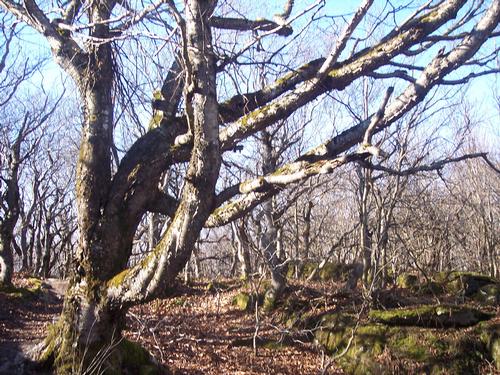
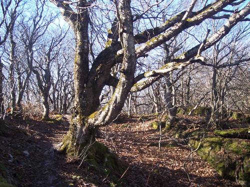
FOREST. You are hiking through a northern hardwood forest, which extends across northern New England to Minnesota and western Ontario. This is a transitional forest between the oak-hickory forest to the south and the boreal forest to the north. Northern  hardwoods  such as sugar maple, yellow birch, American  beech, hobblebush and striped maple are well known  for their brilliant fall colors. Much of this forest is not  virgin, it has re-grown from what was mostly cleared for agriculture in the early-mid 1800s.   
PLANTATIONS. Abandoned farmland acquired for  the state forest was then purposely reforested with plantations of non-native Norway and blue spruce, mostly  by the Civilian Conservation Corps (CCC) in the 1930s. When the plantation reached maturity, over 60  years later, strip cuts were made. These managed harvest cuts in stands of mature trees allow for native hardwoods to grow in between. This also creates a balance of habitat  and forest cover type to support a wide variety of wild life; biodiversity.  
 OLD FARM. The trailside cellar hole, barn foundation and stone  fences are remains of the Busby Farm. This farm existed from the early1800s up until about 1933 when it was bought for the state forest.  Imagine what it must have been like to live in such a remote place back  then. Notice how the forest has reclaimed what was once a cleared  landscape for farming.  Beyond the cellar hole the trail changes dramatically. The gentle wood  road gives way to a steep, narrow path. After crossing over the stone  wall note the junction with the Lost Pond Trail.  As you approach the summit the trail splits into two routes that make a  loop around the top. The left route is steep and has some scrambling  over rocks, the right route is easier. Remember this on your decent. 
GEOLOGY. The Hoosac Range is a complex of folded, metamorphosed schist, mica schist, gneiss and phyllite bedrock, different from  Hobblebush viburnam Norway sprucethe phyllite schist of Mount Greylock and Taconic Mountain Range to the west, but both are the product of sediments from a former sea bottom thrust up about 490 million years ago. A heavily eroded limestone-marble valley separates the two ranges. The Hoosacs form an impressive western flank to this valley  rising to elevations over 2,000 feet, and increasing in height from south to north. Spruce Hill stands out at 2,570 feet in elevation.   

Who came along (1)

richardc SUSTAINING
richardc
Danbury, CT

Comments

No comments yet.

Log in to join the conversation.

Stay Connected with GayOutdoors

Receive outdoorsy tips, community updates, volunteer opportunities, event announcements, and trip reports.

We respect your privacy — unsubscribe anytime.