
Hancock Loop Hike
A wet, wild & adventurous hike over North & South Hancock.
The trip report
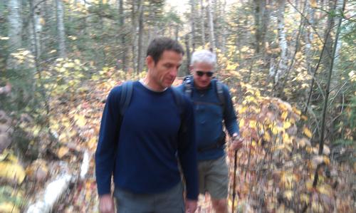
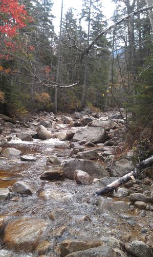
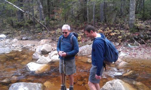
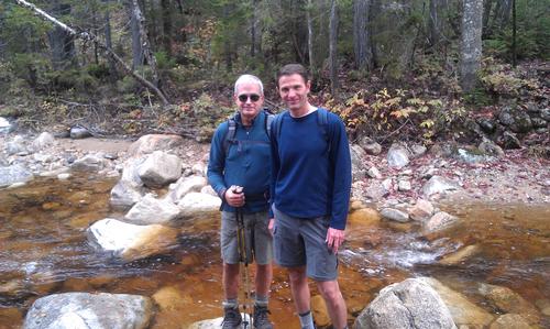
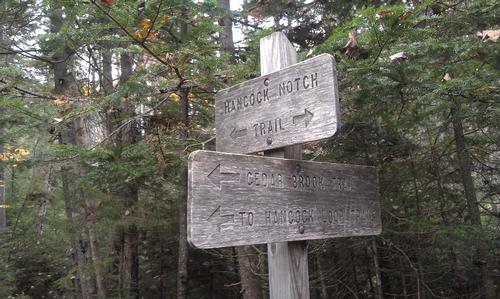
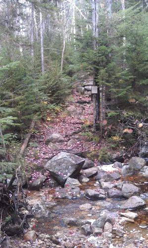
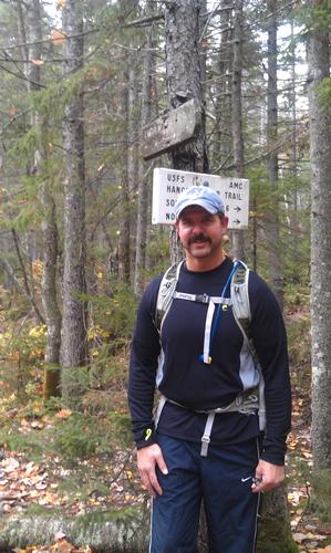
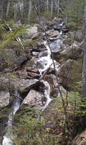
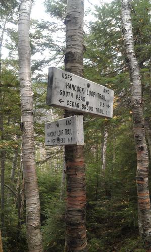
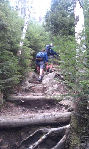
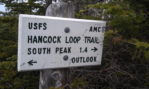
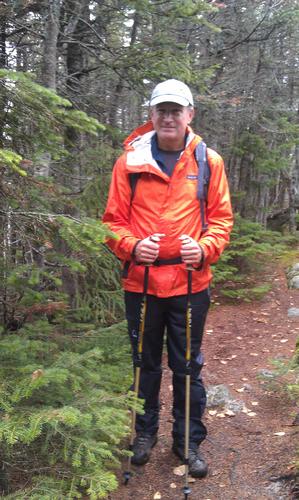
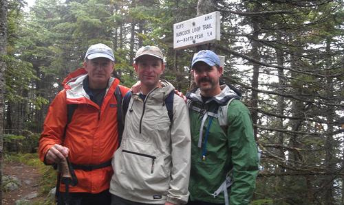
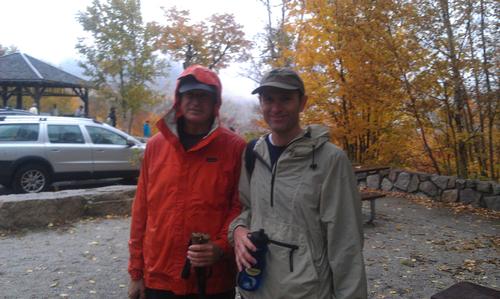
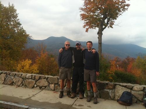
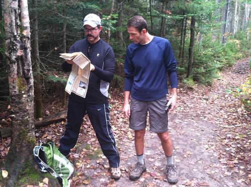
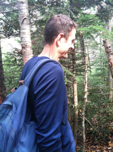
After having rescheduled this event from a previous day of wet & windy conditions, three die hard GO members met at the Hancock Trail Parking area at 9:00am on Saturday, Oct 6th. Despite the forecast for showers during the day, the temperatures were mild with some inspiring breaks of sunshine in the morning, so by 9:20 John, Karl & I headed out across the Kancamagus to the Hancock Notch trail. A easy and enjoyable start to the hike, the 1.8 mile path parallels one of the many tributaries of the Pemi and provided a peaceful bubbling throughout the length of the trail. Shortly after turning left at the junction of the .7 mile Cedar Brook Trail we (along with another group of hikers) ran into a few points of confusion as what seemed to be the trail was actually a bushwhacked detour that had been forged in the event of high water in order to avoid the multiple brook crossings. After a little “trial and error” style navigating, we were back on the blaze marked trail again. The crossings were relatively easy to manage and offered some beautiful spots with various small waterfalls along the way. By 11:20a we were at the junction of the Hancock Loop trail which began to climb towards a more moderate grade until we hit the lollipop (loop) portion after 1.1 miles. We decided, to do the traditional clockwise direction and began the .7 mile steep and steady climb to the North peak. Here we found the wet & loose rocky conditions to be a little more challenging and our pace slowed a bit to keep our footing solid. After what seemed like a short eternity, we reached the summit of the tree covered North peak at around 12:15 and proceeded down the path to the lookout. What could have been a dramatic view of the Osceolas, turned out to be extremely overcast and foggy filtered images in the distance. We were met instead by a group of friendly college students who appeared to be filming a “Girls gone Wild” video on the ledge. :-D We exchanged group photo takes and decided to press on to the connecter toward the South Peak. The 1.4 mile path between the peaks offered an easy to moderate grade with varied ascending and descending parts. This is when the promise of showers started to deliver, and about half way across the peaks we decided to stop, put our rain gear on and eat our lunch under the tree covered canopy. We reached the South Peak at around 2:00 and were surprised to see so many other hikers coming from the other direction, including a young family with a toddler and an infant. After chatting for a few minutes, we were eager to start our descent as the showers began to develop into a steady rain. The initial .5 mile steep drop from the South peak proved to be even more challenging with the wet rock. By 2:45 we had made it back to the junction of the Cedar Brook Trail with the rain now feeling more like a down pour, we kept a steady cadence on the remainder of the waterlogged and muddy trek back to the trailhead, arriving at the parking lot shortly after 4:00pm. Although short on panoramic vistas and bright sunshine, this was still a very enjoyable hike, rich in its own unique character. Huge thanks to Karl & John for braving this one, for keeping me from getting us lost (;-D) and for the incredible enriching conversation and camaraderie. Can’t wait to hike with you both again!
Event photos (21)



Reactions
Log in to react to this trip report.
About this event
The Hancocks, North (4420') & South (4319") Peaks, are two official 4000 footers, which lie by themselves between Mt. Carrigan and the Pemigewasset Wilderness, just north of the Kancamagus Highway. Although neither peak promises great views from their wooded summits, there are several outlooks along the loop that offer a bowlful of eye candy. The experience is often touted as being more "Zen-like" than picturesque and the timing of this hike is almost surely to be in prime NE foliage season. As you climb you glimpse many familiar peaks around you, and the views you get give you the challenge of trying to figure out which mountains you have in sight. There is also a panoramic view towards the west and northwest from the lookout on the North Peak. The approach is easy to moderate, with a short but steep (strenuous) climb near the summits. The distance for this trip is 9.8 mile with an accumulative elevation gain of 2650'. The trail to these mountains is a loop trail known as the Hancock Loop Trail, which is reached from the Cedar Brook Trail and Hancock Notch Trail, starting at the Kancamagus Highway parking area as follows:
Hancock Notch Trail This trail leads from the Kancamagus Highway to the Sawyer River Road. For the Hancocks, follow this trail 1.8 miles to the Cedar Brook Trail. The trail has a gentle grade this entire length.
Cedar Brook Trail This trail leads from the Hancock Notch Trail to the Wilderness Trail in the Pemigewasset Wilderness. From the Hancock Notch Trail, follow the Cedar Brook trail .7 miles to the Hancock Loop Trail. This trail also has a gentle grade, with five stream crossings.
Hancock Loop Trial Actually, this is a lolipop trail. It rises gently (600 feet) for 1.1 miles to the trail split. To North Hancock, the trail runs .8 miles (1,150 feet) to the summit. To South Hancock the trail rises .5 miles (1,000 feet) to the summit. The trail runs 1.4 miles between the peaks, and rises and falls over three small false summits.
What toWear/ Bring: Lunch, high energy snacks and plenty (3L) of water. Sturdy hiking footwear and appropriate fall hiking apparel recommended. Avoid cotton/denim, bring rain gear in case of a sudden shower and plan for cooler temps with light layers. A small flashlight or headlamp, first aid kit and firestarter are also helpful for this type of hike.
Who came along (2)
 SUSTAINING
  GUEST MEMBER
Comments
Log in to join the conversation.