
The trip report
After moving the hike to the rain date of Sunday and yet another uncertain forecast, Steve and myself were brave enough to tackle this strenuous hike over Mt Washington and the Davis Path. We had met the afternoon before, left a car at the Davis Path parking lot on 302 in Crawford Notch and tented at one of the Sugarloaf camping areas.
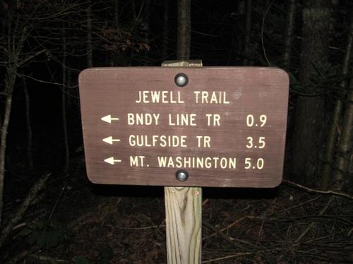
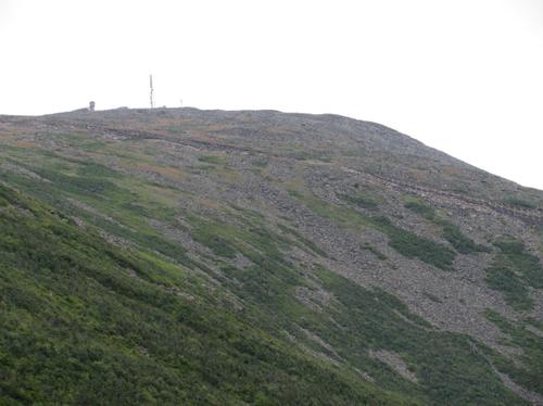
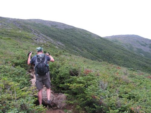
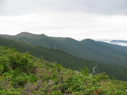
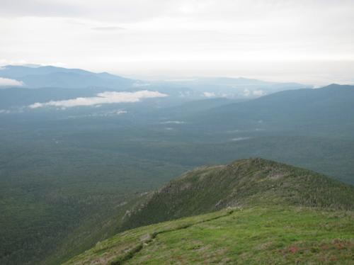
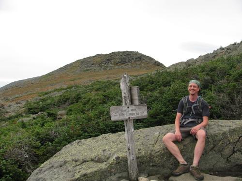
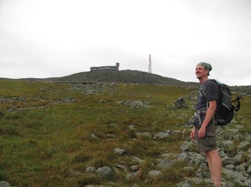
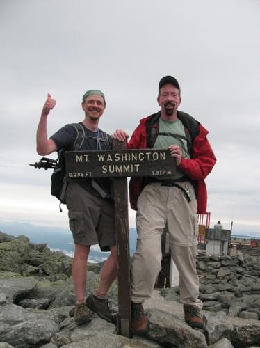
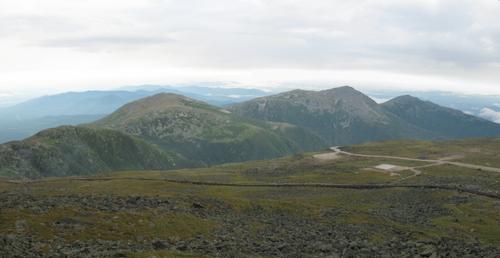
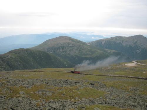
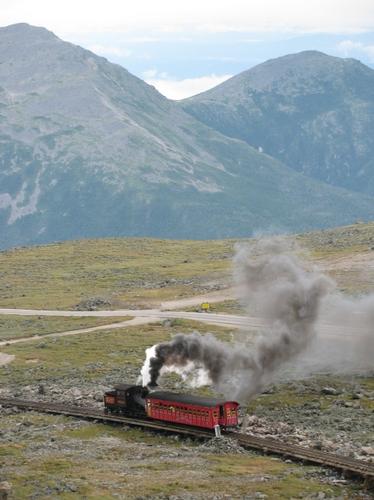
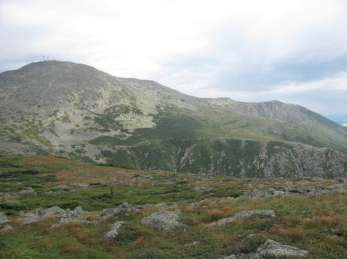
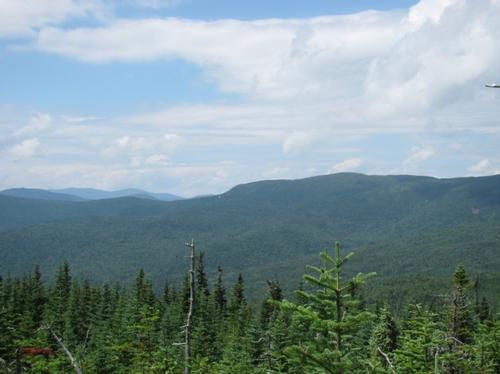
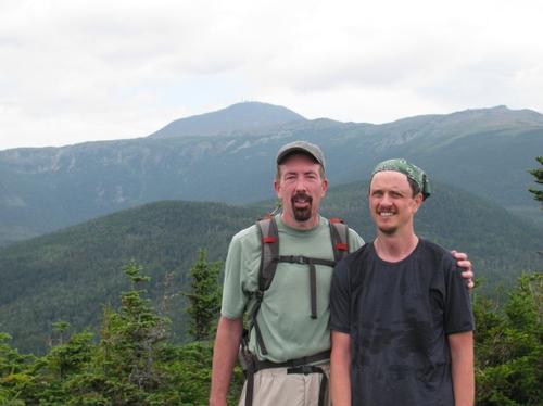
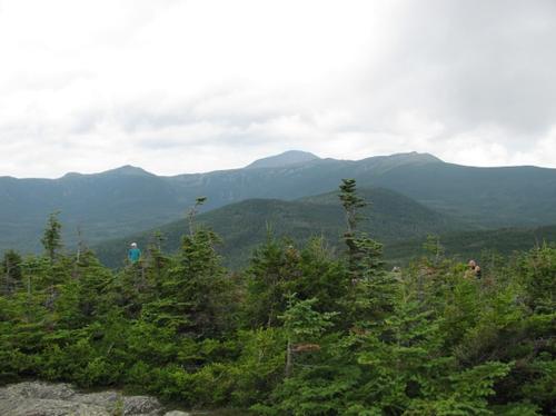
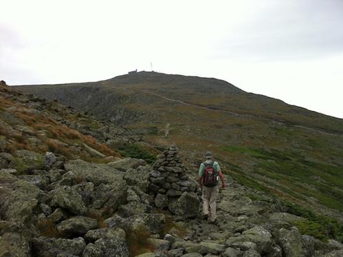
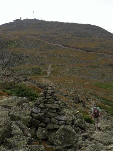
At 5:15 the next morning we headed up Mt. Washington on the Jewell trail. This trail has a steady and moderate incline and is one of the "easier" ways up New England's highest mountain. We soon emerged above tree line and were greeted to fantastic views of the Presidentials and beyond. Visibility was excellent with mostly overcast skies, fog in the valleys and some distant mountains capped with clouds, but Mt Washington was clear. We hooked up with the AT and arrived on top of Mt. Washington at 8:15. It was great having the mountain to ourselves without the crowds and just a few other hikers. The first cog rail up the mountain each day uses a real steam engine and we watched it huff and puff up to the top.
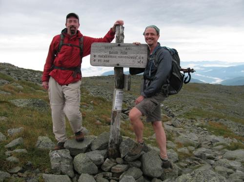
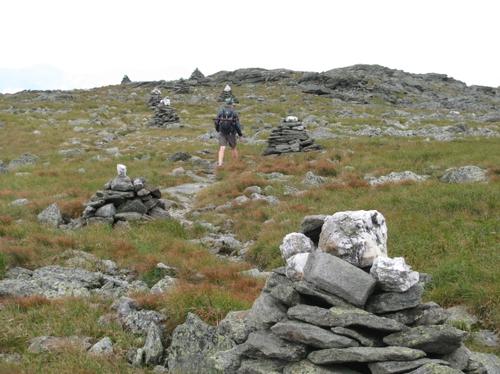
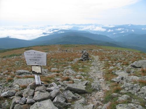
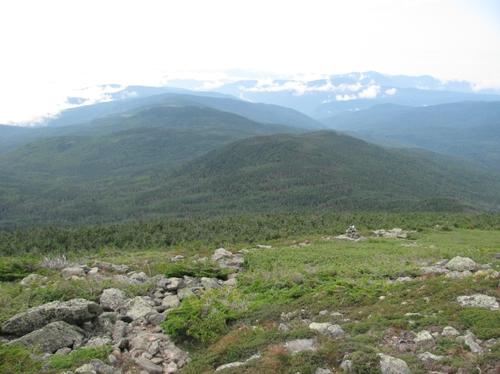
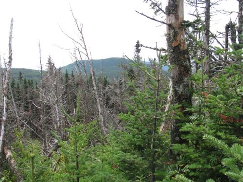
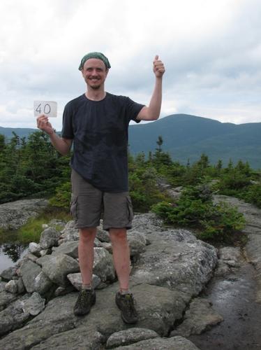
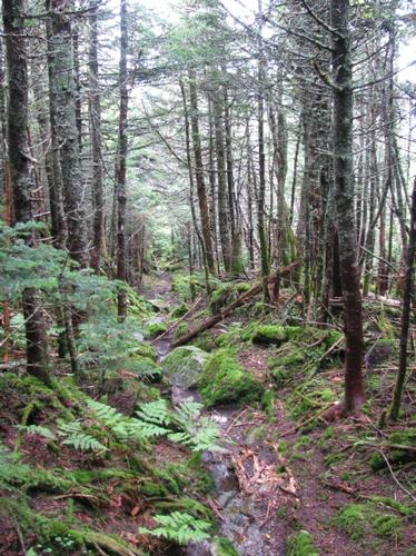
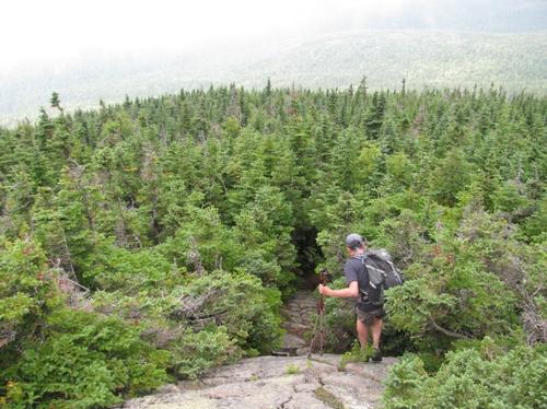
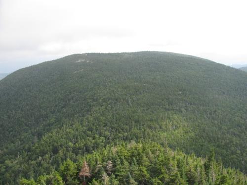
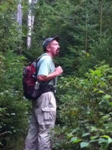
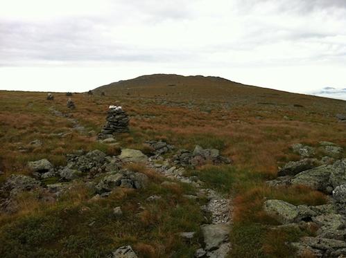
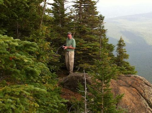
The Davis Path starts about a half a mile down the summit and splits off the Crawford Path. At first it traverses an alpine landscape above tree line. It was spectacular with the sun breaking through and rather good visibility. The trail then descends back into the trees and a in a few miles takes you to Mt Isolation - another official NH 4000 footer. We had lunch while we soaked in the scenery but soon clouds started to roll in. Past Isolation the Davis path is very remote, the woods overgrown with lush ferns and mosses giving a real tropical feel. Due to the recent rain, the rocks and roots were slippery. After a few falls we looked like serious hikers on a mission. We also took a side trip up Mt. Davis, but clouds reduced visibility.
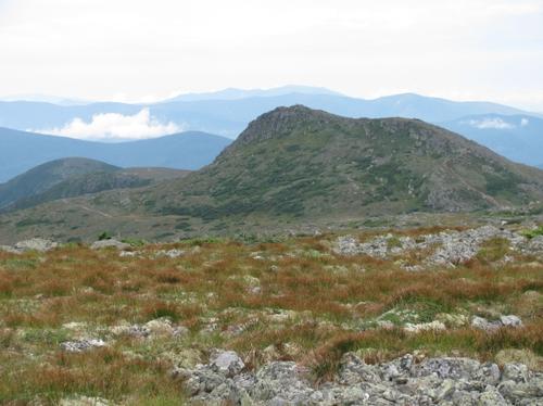
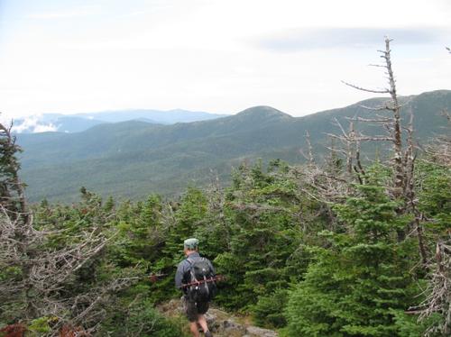
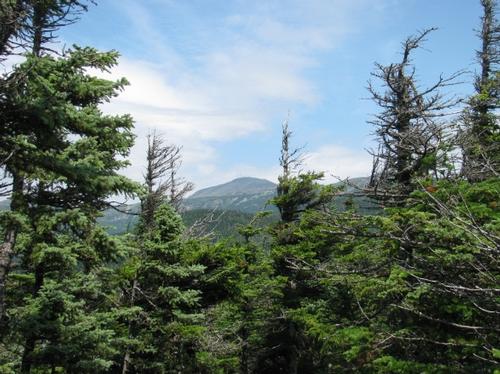
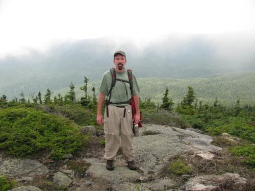
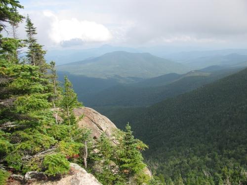
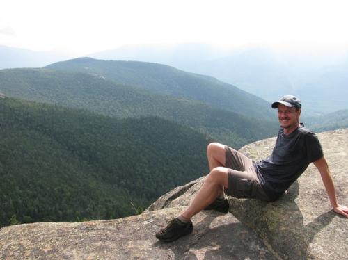
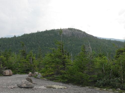
The final climb up Stairs Mtn was unexpected and exhausting. Sorry Steve, but I underestimated how long this climb would be. The drudgery, however, was soon forgotten as Stairs Mtn has some of the best views around. After a break, we had renewed energy and we were flying down the Davis Path which descends rather steeply into Crawford Notch. The last 15 minutes a thunderstorm rolled in and we got a little wet. It wasn't bad though and we were close to our car. We finished at about 6:30 having hiked over 21 miles.
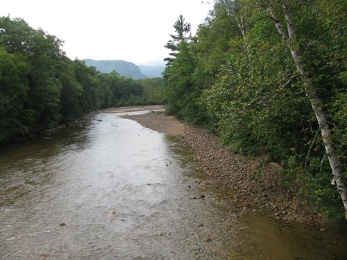
After a polar plunge (or so it felt) in the Ammonoosuc river we headed to Fabyans and capped off this long day with a well deserved dinner. Two very tired, relaxed and happy campers returned to our tent site. Thanks Steve for making the dream hike a reality.
Event photos (42)
Reactions
Log in to react to this trip report.
About this event
Trail Description: We start at the Cog Railway base station and hike up Mt. Washington on the Jewell Trail. This 3.6 mile trail is the easiest ascent to Mt Washington from the West. The grade is constant but seldom steep, there are no rock scrambles, and the footing is generally good below treeline and only moderately rough and rocky in the last section. The trail then connects to the Gulfside trail and another 1.4 miles takes us to the summit of Mt. Washington. After a break we will hike the entire Davis Path to Crawford Notch. This is a 14.4 mile descent on mostly moderate trails. On the way we will bag another NH 4000 footer: Mt. Isolation. Total distance is about 20 miles with cumulative elevation gain of 4500 ft. Total hiking time is 14 - 15 hours.
Equipment:
- headlamp (extra batteries?)
- extra layers of clothing. Weather at the summit can be unpredictable even on a summer day. Liner gloves and hat are recommended.
- Plenty of water
- Enough food for the day (even though Mt. Washington has a cafeteria, we don't plan to take a long break, but you can refill on water).
- Sunscreen, sun glasses
Fitness Level: This hike is in the "very strenuous" category and you need to be in tip top shape to participate. On the other hand, compared to a traditional Presidential Traverse, this hike is shorter with half the elevation gain on easier trails.
Camping: This is optional, but we will be camping at a nearby campground the night before and after the hike. We will try and spot cars the night before.
Rain date: Sunday August 12. Note this event cannot be rescheduled later due to the days getting too short.
Comments
No comments yet.
Log in to join the conversation.