
NH Pride Hike
We were able to explore a forest that most had never been to before, get a little exercise, and the view to Manchester wasn't that bad either.
The trip report
A couple small mountains that look like mirror images of each other (with the exception of multiple radio towers planted on the southern peak), overlook Manchester. They are called North Uncanoonuc and South Uncanoonuc. They both have a decent trail
We decided to hike up the southern peak which has probably the finest forest of communication towers in New Hampshire. It used to actually have a trolley that ascended its northeastern slope. This railway has since been removed and is now a foot path [incline railway] that we planned to use for the descent. There is also an auto road that goes to the top. The summit sits at 1,321 feet.
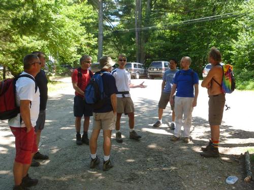
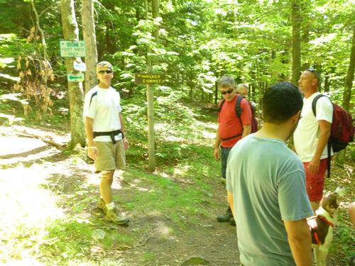
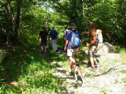
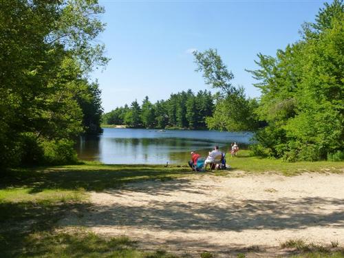
On this Saturday afternoon, we set out for the summit of South Uncanoonuc Mountain. Some of us wore rainbow colors including Brad's dog, River. This was after all, a NH Gay Pride hike. The trailhead parking is shared with beach parking for Uncanoonuc Lake. A sign indicates this is for residents only however on the way out, we met a local police officer who indicated that it only applies if we were to use the beach. Hikers from anywhere in the country can park here. I always thought this but it was good to get a confirmation from a local police officer. I know some people have not hiked up this mountain due to concerns of their car being towed due to the sign.
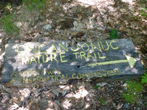
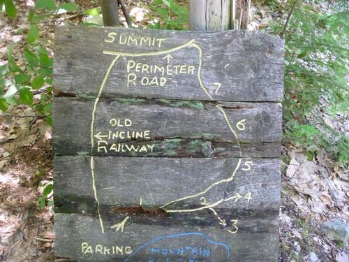
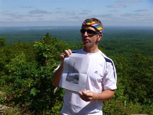
Before we started off, Jon gave everyone a brief history of the mountain at the kiosk. We followed a dirt road with Uncanoonuc Lake to our right. We then saw an Uncanoonuc Nature Trail sign on the ground at the start of a dirt/rough driveway and a hand carved trail map on a post. So we turned left here only to end up at someone's camp. So we turned around, followed the dirt road again and shortly thereafter found the start of the official trail. This trail ascends 650 feet but rather gradually [versus using the incline railway which would have been a steeper ascent]. The trail was then easy to follow.
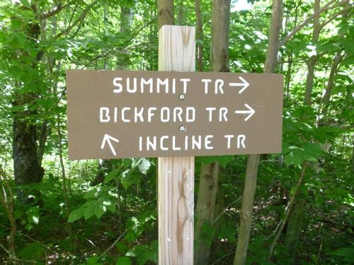
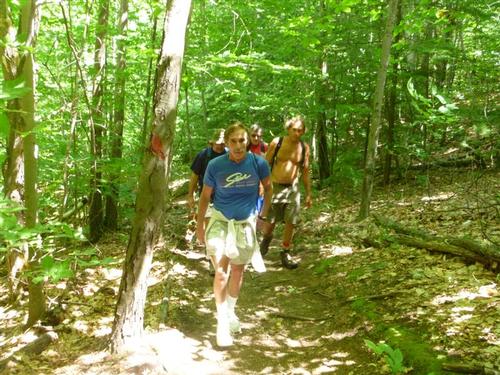
Certain sections of the trail was quite eroded and rocky. We were hiking in a beautiful, shady hardwood forest. We reached a trail junction and waited for Rob who was lagging behind. After a few minutes I walked down the trail looking for him and yelling out. I did not hear any response so all I could assume was that he turned around. [He later contacted me. He was recovering from back problems and was feeling a few twinges so he stopped by a tree to do some stretches. He decided to turn around but we had gone up ahead and was out of reach. He thought of yelling out to us.]
The trail continued up gradually. Near the top, we crossed the auto road and on the other side followed a dirt service road.
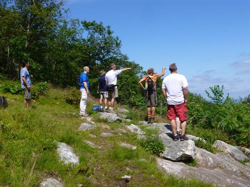
The actual summit, the site of a former firetower, was to our left and fenced in. After passing a couple of communication towers on our right we turned right to a herd path that led to ledges.
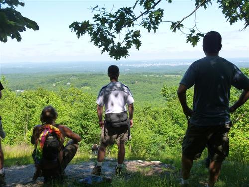
We were not alone on the ledges. There was couple at the ledges when we arrived and a man reading a book.
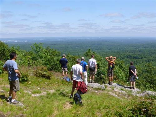
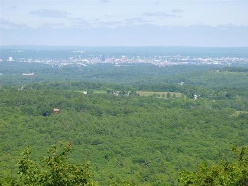
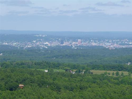
It was so hazy today we were unable to see the Boston skyline. We were able to see Pack Monadnock and a partial view of Manchester.
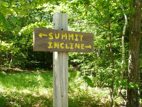
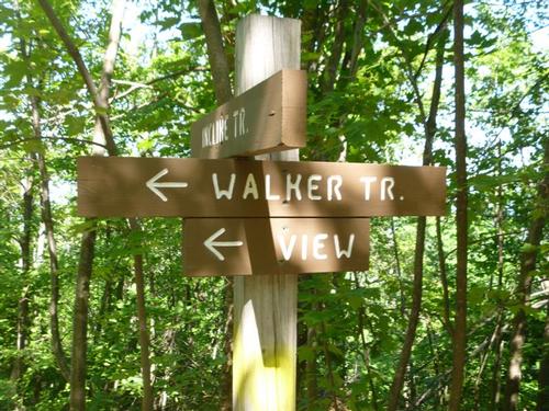
We returned to the dirt service road and hooked up with the Incline Railway trail for our descent. On the descent, we saw the Walker Trail to our left and followed it briefly to an excellent view of Manchester! We returned back to the Incline Railway trail for our descent. The trail was quite steep and rocky so everyone was careful with their footing.
We finished around 4pm. We saw very few people the whole trip. All and all, it was nice to be in the woods and get a bit of exercise. Unfortunately we didn't get the views of the Boston skyline. We were able to explore a forest that most had never been to before, get a little exercise, and the view to Manchester wasn't that bad either. It's a fine hike to do when you live in the area and short on time.
Event photos (16)
Reactions
Log in to react to this trip report.
About this event
Wear your rainbow colors as we hike up Goffstown's [near Manchester] South Uncanoonuc Peak! We will hike to the summit of South Uncanoonuc following a nature trail and descending a former cable cars path. The hike will be about 2.0 miles round trip with a vertical elevation gain of 660 feet. We will be starting from Uncanoonuc Lake. There are views of Manchester and silhouettes of tall buildings in Boston from a nearby summit ledge.
Who came along (7)
 SUSTAINING
  GUEST MEMBER
  GUEST MEMBER
  SUSTAINING
  SUSTAINING
  GUEST MEMBER
Comments
No comments yet.
Log in to join the conversation.