
Great Ossipee (Mt Shaw) Hike
A seasonably mild Cinco de Mayo with a view from the Ossipee's!
The trip report
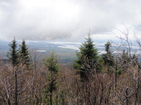
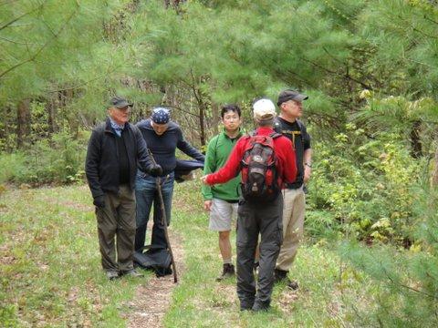
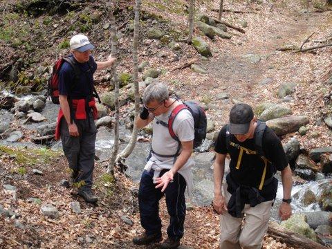
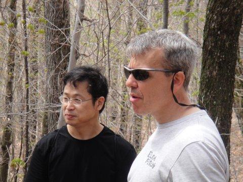
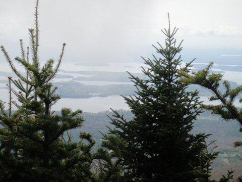
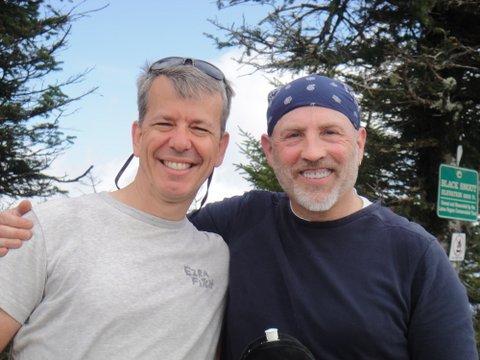
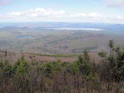
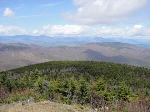
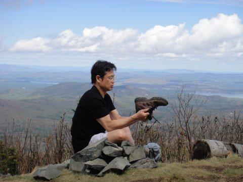
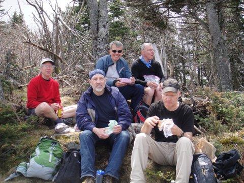
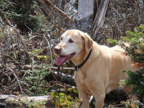
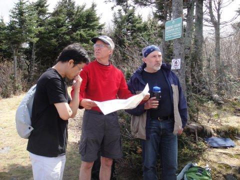
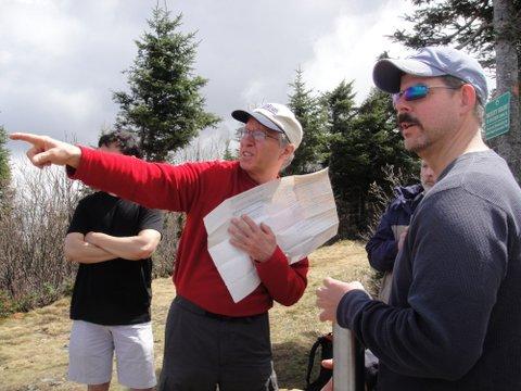
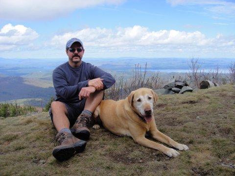
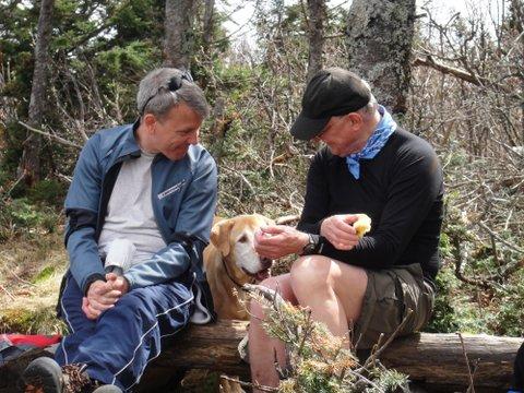
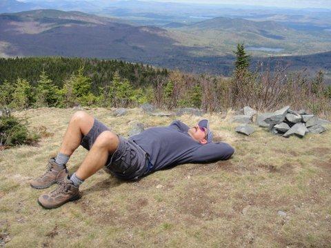
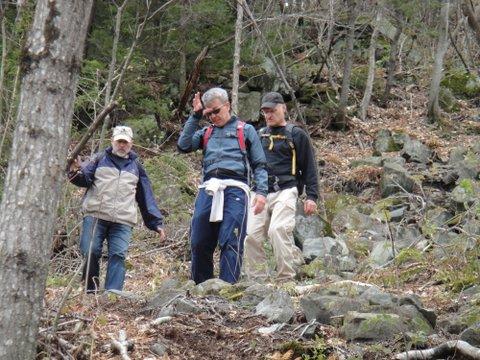
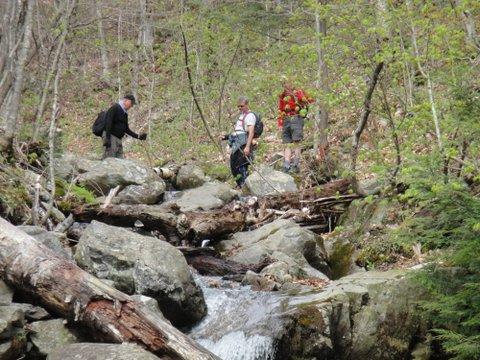
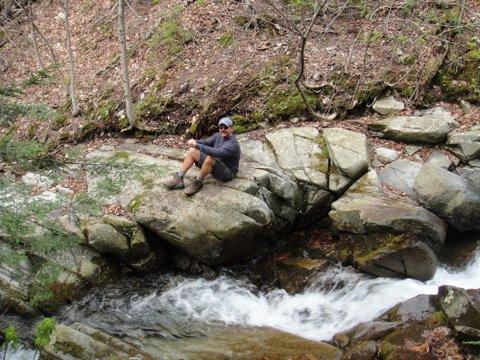
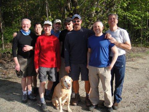
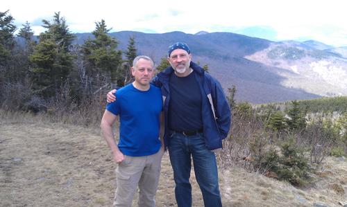
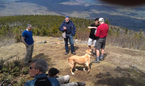
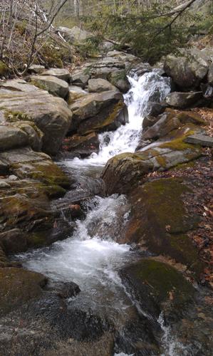
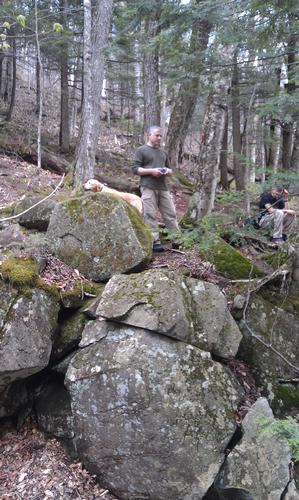
On Saturday, May 5th, Jonathan, George, Drew, Dave, Ron, Gil, John, Kevin & Sonny met up at the Shaw trailhead in Tuftonboro. With Sonny, our canine scout & trail leader forging the way, we were on the Mt Shaw trail by around 10:30am to embark on the highest peak in the Ossipee mountain range. The first mile was a peaceful, fairly wide path made up of an easy grade with good footing that followed the Fields Brook to our left. After a few stream crossings and some varied terrain, the trail began to narrow and climb steeply for about .7 miles before reaching the Black Snout Trail, an old carriage road that leads from the Castle in the Clouds. After banking a right for .2 miles we took the.3 mile Spur Trail that leads to Black Snout (2803’), a knob on the southern flank of Mt Shaw. A fantastic overlook with outstanding views of Lake Winnipesaukee and the surrounding terra, we paused here for a while for a ‘drop pack & snack’ and some good conversation. We then continued around the circular carriage road to the summit of Mt Shaw (2990’) via the High Ridge Trail for .5 miles and arrived at our destination at around 12:30pm. Here we were greeted by ever so slightly filtered views of the White Mountains to the north as well as well as a clear view of Ossipee Lake to the east. Peaceful, wind-free and amidst a harmonious group vibe, we hung out on the summit for about an hour to eat lunch, relax and soak in the sunshine. After acquiring the coveted ‘summit buzz’, we circled back around the carriage road to retrace our paths for descent. We took our time, intermingled and inhaled the smells of spring. Once we reached the steep turnoff down the Shaw Trail, the group spread out a bit, but rejoined at a gorgeous waterfall on Fields Brook, just after the final stream crossing. By 3:45pm we were back to the parking area where we decided to meet up at the Whittier House in West Ossipee for a drink and a snack before going about on our way. Some had met up at Jonathan’s on Ossipee Lake for dinner. A special thanks to all who joined in on this annual early season hike in the Ossipee range. It was a pleasure seeing old friends and meeting new faces. See you boys next time!!!
Event photos (29)



Reactions
Log in to react to this trip report.
About this event
Please join us for a favorite early spring hike to the summits of Black Snout (2803') and Mt Shaw (2990'), highest "peaks" in the Ossipee Mountains. The overall moderate roundtrip is 7.6 miles which includes a 1/2 mile somewhat strenuous section just before joining the old carriage road (from Castle in the Clouds) which then takes us easily to both summits with views of Lake Winnipesaukee (from Black Snout) and the Whites (from Shaw). A good, vigorous 1st hike to get you ready for summer. Come with a daypack, lunch, plenty of water and layers (depending on the forecast). Rain date will probably be Sunday 6 May but contact if in doubt. Group dinner afterwards at Ossipee Lake or Pine River Pond (TBD) for those so inclined and able to join us.
Who came along (2)
 SUSTAINING
Comments
No comments yet.
Log in to join the conversation.