
Mt. Isolation Snowshoe
It was fun day on Mount Isolation, which is always adventurous and unlike most of the other below treeline hikes in the White Mountains.
The trip report
After beating myself last Saturday on a Bonds traverse it was time to run a GO trip with Jon and head over to Mount Isolation.
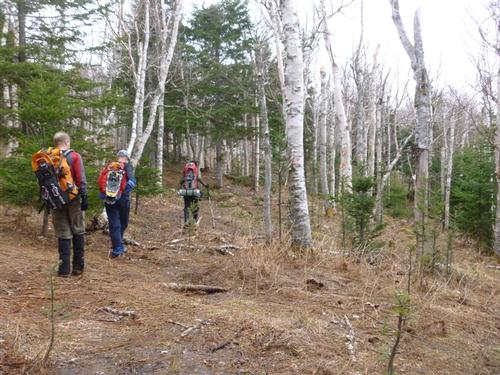
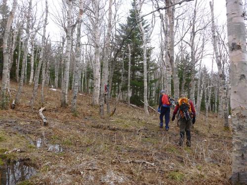
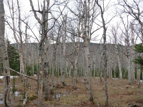
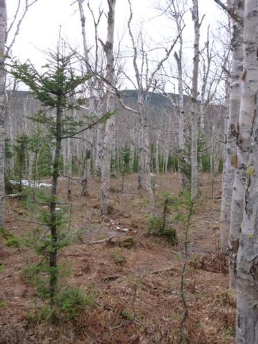
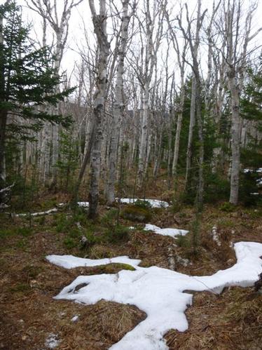
Mount Isolation in the winter is shorter than in the summer, as the preferred route is a bushwhack through the Birch glades of Engine Hill. When broken out correctly the hike through the glades is one of the prettiest paths below treeline in the White Mountains.
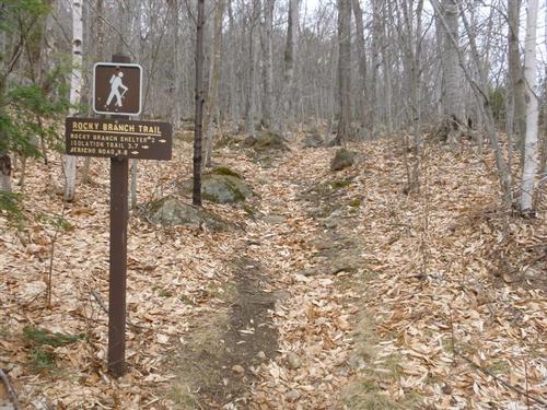
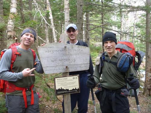
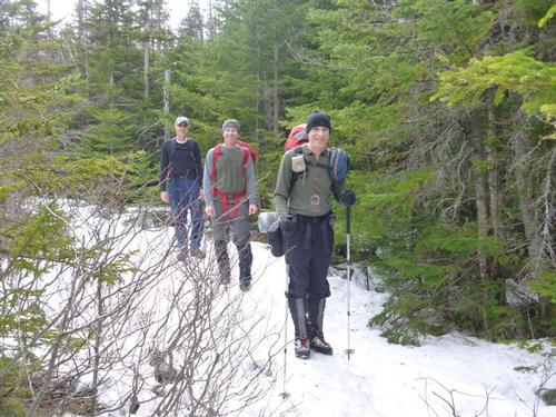
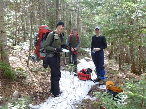
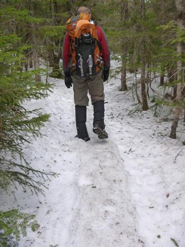
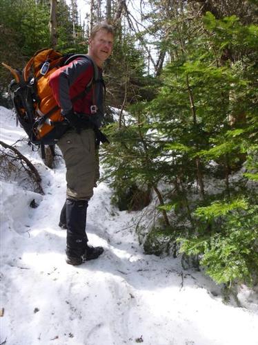
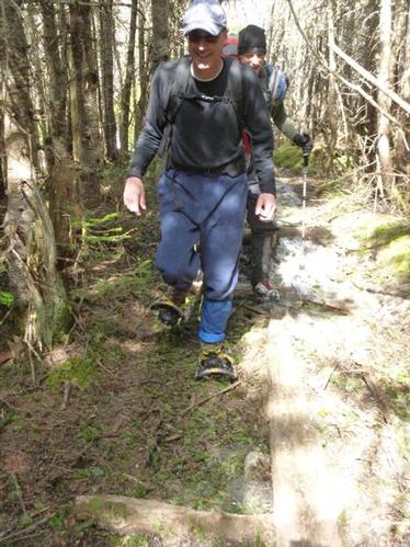
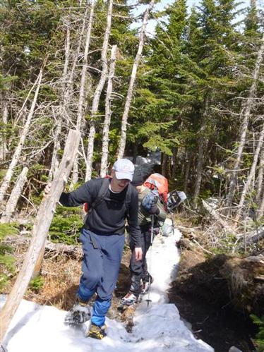
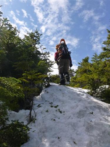
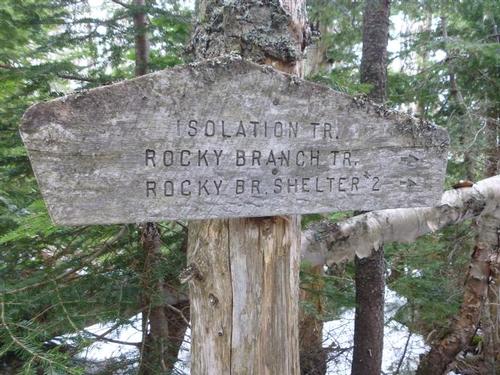
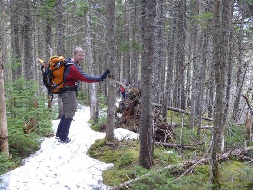
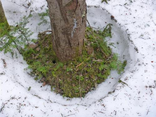
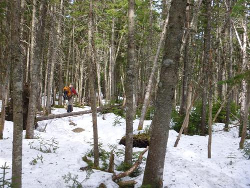
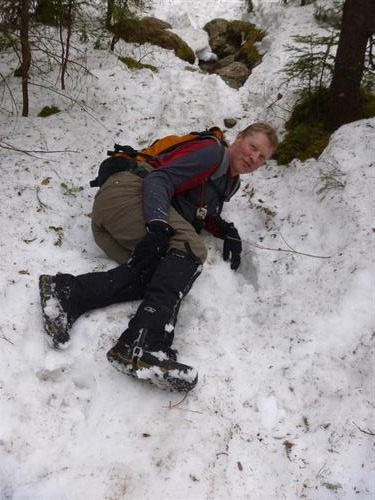
Today's trail conditions were a mixed bag, the hike up the Rocky Branch Trail up to 2,900 feet was snow-free and then we began to run into a monorail after the Wilderness Boundary. We all carried snowshoes but they really were not needed. We all barebooted except for Mike who took out his snowshoes for a brief stretch as we approached the summit cone of Mt. Isolation. We missed the Engine Hill Bushwhack snowshoe track since the 'track' looks like a patch of snow. On the return we found it and made note that the 'entry point' starts with a T marked on a tree on the height of land. The bushwhack track is now a very faint monorail that looks like a patch of snow from the Rocky Branch Trail.
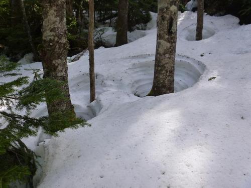
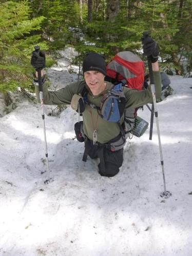
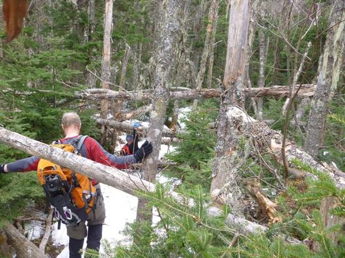
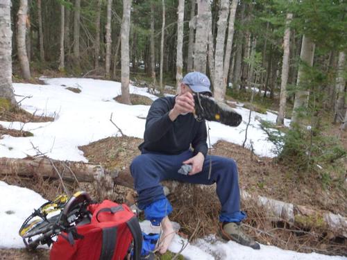
Alex did an excellent job using his compass and navigation skills to dump us onto the Isolation Trail. During the bushwhack we ran into mud, water, 2-3 feet snow, post-holing...you name it, we had it. Mike didn't have the best gaiters to cover his boots so his feet got wet early on and stayed that way the rest of the day.
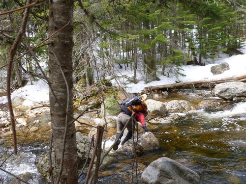
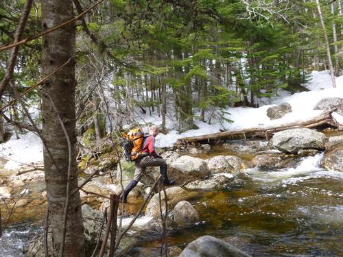
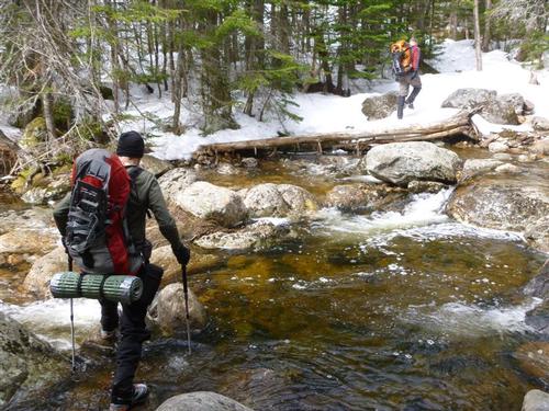
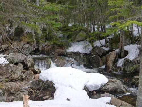
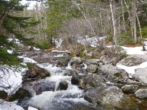
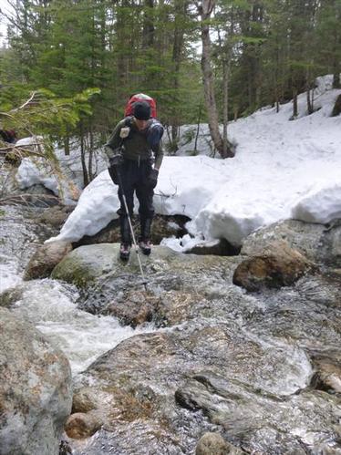
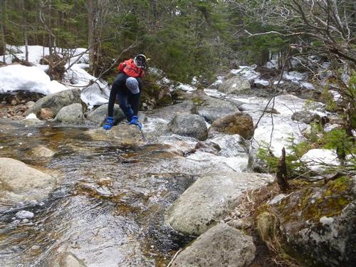
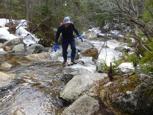
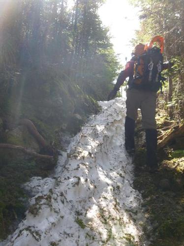
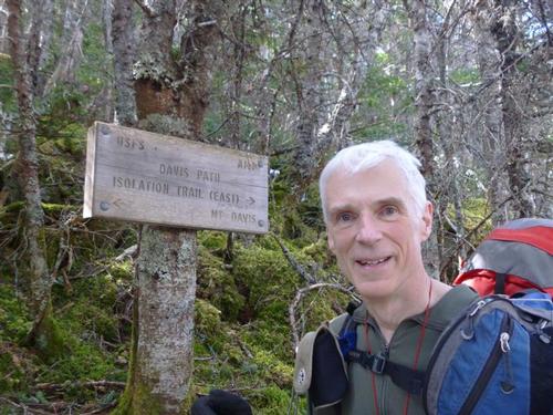
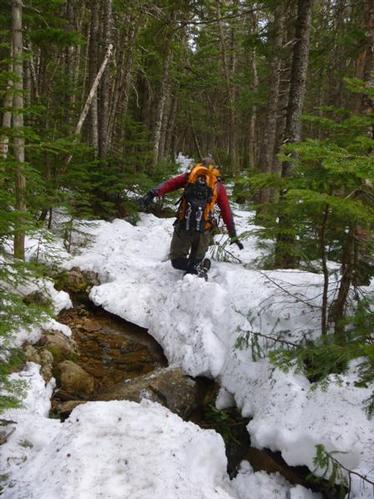
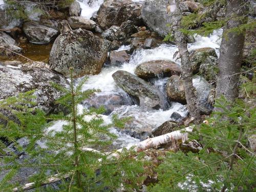
We had to cross Rocky Branch three times although on the return we found a short bushwhack that bypassed two of those crossings. Crossings #2, #3 and #4 are all doable by rock hopping with the occasional need to put your foot on a submerged rock. We found the monorail on the Isolation Trail difficult to stay on top of and in some cases, collapsing. We found the monorail bushwhack off the Isolation Trail and followed it through a drainage that intersects with the Davis Path saving a few hundred feet of elevation gain although we did miss it on the return from the summit.
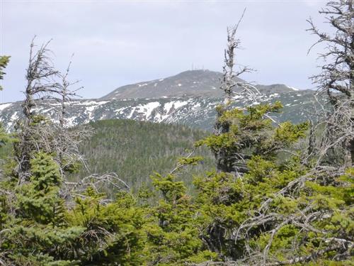
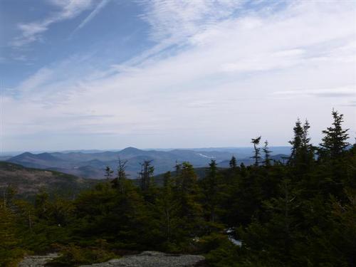
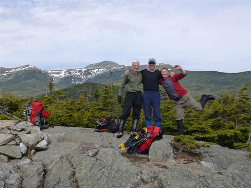
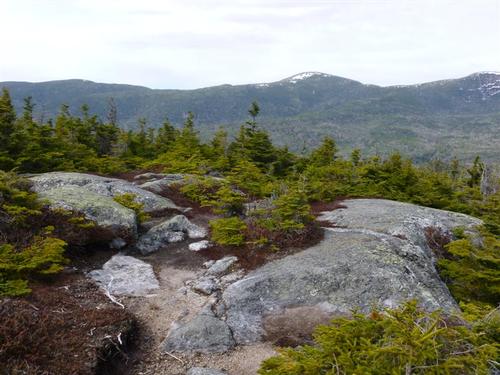
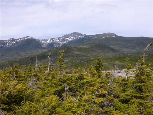
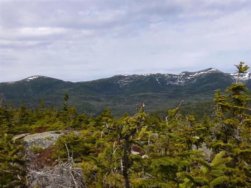
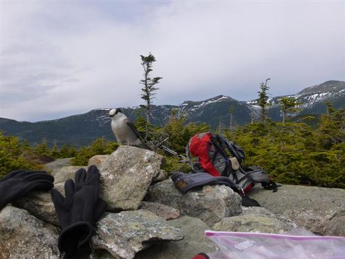
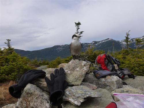
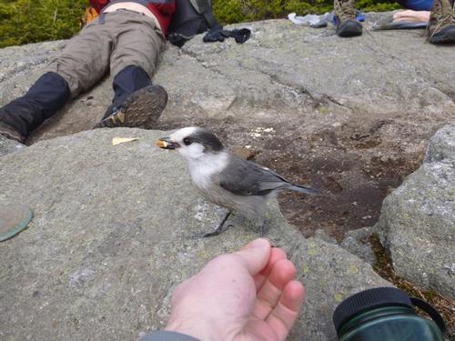
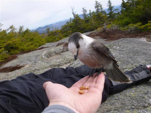
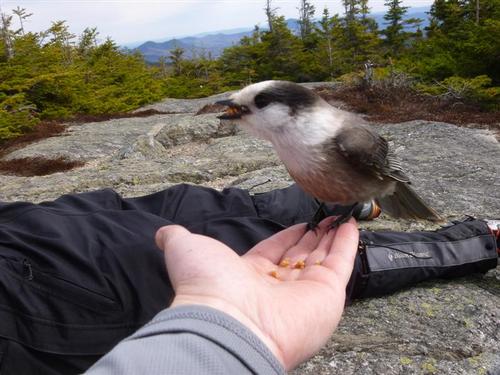
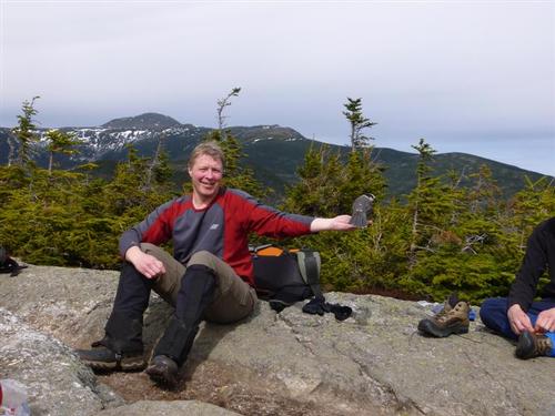
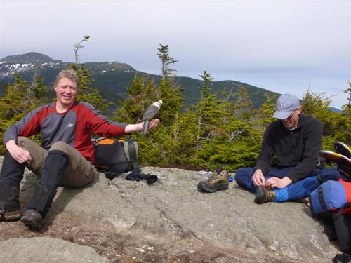
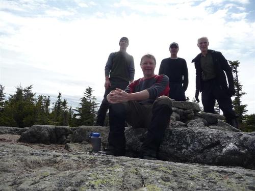
The weather was warm with temps in the low 50s, hardly any wind and abundant sunshine once we reached the summit. The views from the summit were great and Mt. Washington could clearly be seen. We stayed on the summit for almost an hour enjoying the sunshine, views and feeding one gray jay.
On the hike back through the Engine Hill Bushwhack we took a different compass bearing and Alex took us through the birch glades I was hoping to run into. It is one of my favorite sections of the hike and really pretty even though this time we did not enjoy it using snowshoes. On the way back during the bushwhack we ran into real thick brush and swampy terrain that made us think that somehow we might have missed the Rocky Branch trail intersection. As we started going around the swampy area Jon found the bushwhack track/monorail that we looked for earlier in the hike. We followed the monorail and ended back on the Rocky Branch Trail!
It was about 4:45 and we arrived back at the car around 6:45. It was a fun day on Mt. Isolation, which is always adventurous and unlike most of the other below treeline hikes in the White Mountains. Mount Isolation, much like Owl's Head, always presents a different experience each time you do it.
Mileage was 13 miles with 3,400 feet elevation gain.
Alex took additional photos and videos, which you can see here.
~ Mike Boisvert
Event photos (51)
Reactions
Log in to react to this trip report.
About this event
What we're doing
It's easier to bag this 4,000 footer in winter conditions! The snowshoe bushwhack track cuts down the mileage and bypasses 4 brook crossings. The bushwhack traverses through a beautiful open stand of birches. We will hike the remote and beautiful Mt. Isolation (4,003 ft - #46 on the NH4K) in the Dry River Wilderness. The open summit has magnificent views in all directions especially of nearby Mt. Washington and the Southern Presidentials. We will use the Rocky Branch Trail, the Engine Hill Bushwhack (bypassing 4 of the 5 Rocky Branch brook crossings), the Isolation Trail and the Davis Path. To sign up for this hike, you should be an experienced winter hiker, who has recently completed hikes of at least 8-10 miles, and who consistently hikes at or better than book time.
We start as a group, hike as a group, and finish as a group. This trip isn't for you if you are faster than the group and don't want to stay with us, if you want to head off on your own, or if you are slower than the group and expect us to constantly wait for you.
Only GO Members are permitted - all participants must be members of GayOutdoors. This allows us to keep track of and communicate with each person who signs up to participate in our events.
=====
Dogs are discouraged on this hike due to the uncertainty of conditions. If your dog has experience with long hikes of this nature in winter conditions and you are confident that he/she can handle this advanced hike, please email us to discuss.
=====
Trip Summary
On this moderate pace (~ 2 MPH) out-and-back trip we will follow the Rocky Branch trail, to the Engine Hill bushwhack (to bypass 4 of the 5 Rocky Branch brook crossings and save some mileage), to the Isolation Trail to the Davis Path to the spur trail to Mt. Isolation. We will hike about 13 miles and climb about 3,400 feet. While it should take an average hiker about 8 hours 15 minutes to complete this trip, we may actually move slower because of winter conditions (trail breaking, route finding, changing gear/footwear, etc.)
This event is considered to be STRENUOUS because of the pace, distance, and elevation gain. We could alter our plans because of fatigue, weather, and/or other conditions and there is no guarantee that we will complete the entire trip as described here (i.e. we might not reach the summit).
While we have traveled this route before, we also did research using the Appalachian Mountain Club's "White Mountain Guide", a trail map, and the Internet. You should become self-reliant by becoming familiar with the route, terrain, and potential hazards since you are ultimately responsible for your own safety.
- Click here for Isolation from Peakbagger.com
- Click here for trail conditions from New England Trail Conditions
After The Hike: Everyone is welcome back to join us in Jackson at the Red Fox Pub. What better place to celebrate our adventure!
Lodging Option: Bunk beds are available at my house near Waterville Valley, NH for Friday and/or Saturday night for $20 per night. Coffee/bagels each morning and linen/blankets/towels are provided. We have limited space in the fridge to store your beverages/food so it's best to bring a small cooler. Space is limited so email me ASAP to reserve a bunk!
Weather
Mountain weather is subject to rapid changes and extreme conditions. Dangerous weather conditions will cancel - I will post an and/or send an email to all confirmed participants a day or two ahead of time. We will assess travel and weather conditions during the hike and make changes to our planned trip as necessary.
- Click here for current weather conditions
=====
Click here for a list of the minimum of clothing, gear, equipment and supplies you should carry. Refer to the winter hiking section.

Comments
No comments yet.
Log in to join the conversation.